“People like Paul and himself, with their pianos and violins, are here on this earth, the earth of South Africa, on the shakiest of pretexts… the ground beneath his feet is soaked with blood and the vast backward depth of history rings with shouts of anger.” – JM Coetzee, Youth
“…Any sensible person knows grief is a long-term project. I refuse to rush. The pain that is thrust upon us let no man slow or speed or fix.” – Max Porter, Grief is the Thing with Feathers
Sipping a mussel from its shell and staring at Mission Bay through a sun-laced pōhutukawa, the young doctor seemed lost for words.
Then: “This,” he said thoughtfully, “is not shit.”
I’d just spent some of day 38, supposedly a rest day, kayaking across Waitematā harbour with the eloquent Dr. Dan, a mate who generously hosted me for the three days I spent crossing Auckland proper.
Apart from it being a spectacular stretch of water, the point of the Waitematā paddle was to stick to my plan of travelling every metre of the whole, long, lovely length of Aotearoa, under my own steam.
For logistical reasons I’d ferried from Auckland’s north shore to its CBD a few days previously; now I had time to come back and fill in the gap (only a k or so each way).
We hired a tandem boat from Ferg’s Kayaks at Okahu Bay and a chirpy guide took us across to Devonport beach. The Harbour Bridge loomed above; a gentle but strong swell rolled in from the Pacific, blending with the wakes of ferries, speedboats and cargo ships.
On the way back we visited Judges Bay, which is as close as small boats are allowed to the ferry dock in the CBD. Then we meandered through Hobson Bay (salvaging a storm-blown spinnaker en route).
Afterward, Dan and I walked around to Mission Bay to sit among the pōhutukawa branches on the verandah of the Belgian cafe, with the breeze, beers, mussels and frites; and lo, it was not even slightly shit.
Later we visited the Viaduct, and Dan showed me a famous ocean-going yacht that’s moored there, all incognito and elegant – the Ngataki. She’s the star of a classic of New Zealand sailing, writing and adventuring, South Sea Vagabonds (1939). This was a special moment for me (not least because Dan has a family connection to her). Her first skipper, Johnny Wray, was a lover of the sea’s “cleared attics” rather than the bewitching wrinkles of the land. But I feel sure Johnny, who built this incredibly resilient and lovely craft with his own hands and sailed her through storms, oceans and love affairs, would approve of the concept of Te Araroa.
Day 39 – Brookby to Clevedon: 8km
I made up for a not-completely-restful rest day by only doing 8 clicks. Mainly because, to return to the trail, I first had to get back from Blockhouse Bay (Dan’s house) to Brookby (the point I reached before my day off). This involved a long trip by foot, bus, train and Uber; much easier, and quicker, said than done.
From Brookby it’s a short road trek to some paddocks. Then you have a steep climb up Kimpton’s Track onto a low range, covered mostly in pines. From the top, there’s a satisfying view north of massive, sprawling Auckland, which I had just walked across on my two feet.
The Sky Tower and CBD on the horizon, from a Kimpton’s Track near Brookby, south of Auckland.
To the south and east, the Coromandel Peninsula across the Hauraki Gulf. Here’s that view, beyond the estuary of the Wairoa River (where Johnny Wray once moored Ngataki for a winter of repairs):
Beyond the mouth of the Wairoa River you can see Pakihi (Sandpit) Island. On the horizon, the Coromandel.
More to the north and east, Waiheke Island, with its olives, wine and mansions, and the Coromandel looming beyond.
On the other side of the summit was the lovely Clevedon scenic reserve, where I passed walkers and joggers heading up for their evening constitutional.
Clevedon itself is a charming little place with a few cafes and shops, and a down-to-earth pub. There, two generous mates and several cold beers waited: more joys of semi-urban tramping. I stayed the night with them in Papakura.
Day 40 – Mercer to Rangiriri: 25 km
(Note: from this point on, my distance totals in the titles of blog posts will be slightly out of synch with the Te Araroa website, for a while, because I had to skip a section – as outlined below).
The next section, which is 60km and takes about three days, contains what should be a spectacular final curtain to the Auckland leg of Te Araroa: the Hunua Ranges. Unfortunately I had to defer this pleasure, because the Hunua tracks have been closed to trampers for repairs since a huge storm in March, 2017.
Now, I’ve heard on the trail grapevine you can ignore the signs at the trail head and tramp it anyway, and that the authorities are just using the excuse of the storm damage to get on, undisturbed, with other tasks like trapping or pest-poisoning. But that may be totally untrue and, as I’ve said before, Te Araroa depends on goodwill and a certain amount of playing by the rules. The whole thing could collapse if too many people ignore things like the occasional trail closure.
So I left the Hunua for another day – it’ll keep. I got a bus from Papakura to Mercer, just beyond the closed section; this remnant of a town is the gateway to a completely new region of Te Araroa (and of the country): The Waikato/King Country.
My aim was to do 45kms of it, which would take my total for the trail so far to 700kms, allowing for skipping the Hunua.
Incidentally, getting to Mercer by public transport is now a lot harder than it used to be. Buses no longer stop there, there’s no train station, and hitching through the south Auckland sprawl could take forever. So I bought a bus ticket to nearby Pokeno, and was resigned to walking or hitching the 8 kilometre difference; but the driver kindly agreed to pull over at Mercer and let me off there.
“Doing the big walk, eh?”, he’d said when I came aboard with my pack and poles. “Good on ya.”
From the motorway service station and restaurant complex that historic Mercer has been basically reduced to, the Whangamarino Redoubt Track leads walkers up into the hills above the Waikato River, New Zealand’s longest.
Here are my first views on Te Araroa of this mighty, storied, much-loved and much-abused awa – first, looking south, i.e., upriver:
And below, looking northward (down river), towards where the Waikato eventually meets the sea:
This long, broad, aloof-yet-personable river will keep me company for the next 80 ks as I journey up toward the North Island high country.
The gloomy skies were apt because, soon after, I came to the first evidence of why this river, and its eponymous region, are such significant keys for anyone wanting to unlock the real, violent story of modern New Zealand.
It’s a sad story, and a brutal one. I’ll digress briefly to re-tell it, in my words, because what’s the point of walking the length of the country if you don’t get confronted and illuminated by the truth of the place and its stories?
I mean the stories we don’t have time to see, much less consider, when we blast by on the motorway at 100 kilometres an hour.
One of the things that makes this country special is that in 1840, The Treaty of Waitangi was signed between Māori and colonising British. Some people, mainly descendants of the colonisers, find it embarrassing, for some reason, and think it unworthy of a national day, which they wish was simpler, more triumphant. But I think it’s actually pretty special that our country was founded on an agreement – a pact between two people, to share a land. Almost like a marriage.
And it’s also special that it’s not a simple day, because since when were life, and community, and human beings, simple?
Anyway by the 1860s the settler numbers had swelled, and more were coming all the time, and they wanted what arriving people always want – more land. From ever-growing Auckland, they eyed the fertile Māori stronghold to the south, the Waikato. Māori leaders there felt that hot gaze, and wisely anticipated trouble; they fortified their villages, armed their warriors.
The colonisers, wilfully or not, misinterpreted this as aggression, and built a massive, military road – now Auckland’s Great South Road – right up to the edge of Waikato Māori’s sovereign territory. This road ended right where I was walking, near Mercer.
Waikato Māori, apparently, saw this in the spirit with which it was intended – as a threat; a show of “might is right”. The Māori didn’t think might was right; they thought right was right, and wrong was wrong, and agreements to share a land should be honoured.
There were skirmishes. British soldiers in red coats and with the latest military gear responded by shelling a Māori village on a ridge called Meremere, which you can see through this viewfinder, erected on the very ridge they fired from:
From the information panel, I learned the deadly shells came from long-range, 40-pounder Armstrong cannon the British lugged up this hill – a hill treasured for many centuries before that as a peaceful food-gathering site.
In the river below, the British had the purpose-built, 300-ton, iron-clad warship Pioneer, and other gunboats; their shells came down hard and thick on Meremere.
The Māori fought hard. But eventually, the settlers shelled them into submission; then took their land. This was repeated around the Waikato, and in different ways, around Aotearoa.
I was impressed at how this place and its story have been preserved, at the good attempts at “making memory”, at honouring the past to learn from it, and acknowledge the pain and loss inflicted. But also sad at how little this story is known, how little taught in schools, how little discussed. How we cringe away from it, instead of facing up to it. At how much more familiar Kiwis are with our exploits and losses in wars on the other side of the world, than we are with the drama, meanness, cruelty and tragedy that we did to each other, right here, in places like Whangamarino.
Beyond the redoubt, the track finally reaches the river, a peaceful sight after all that sadness:
It’s beautiful, but it has been shelled too – by agricultural and urban pollution, deforestation, and introduced pests. Sitting staring at it, I was jolted when several half-metre giant Koi carp loomed out of the shimmery depths:
These look like huge goldfish, of course, but they’re actually one of the most devastating invasive fish in the world. Like another kind of “red coat”, they eat everything in sight, including the native species that have always called the Waikato home.
They roll on their backs to tug at weed and search for prey, surfacing slowly like great glowing monsters. One poked its powerful nose above the surface and seemed to eye me, cold, alien, indifferent.
But golden marauders notwithstanding, the riverside pathway is really beautiful:
It meanders along the bank, beside cornfields, paddocks, and through sun-dappled bush. For all this beauty, credit where it’s due:
I’d struck a perfect summer day for river-bank wandering, and it was bliss to bowl along in the muggy sunlight.
The riverbank is bayou-like, lush and fruitful. The trail leaves the state highway behind; its howl and hammer fades away, replaced by silence, water-slosh, the cicadas’ ecstatic, sexual yodelling.
Sometimes, though, a forlorn sort of civilisation pops its head out. Is there anything as desolate as an empty, silent drag strip?
Further down, huge swathes of river:
The occasional headland lets you drink in the scale of it:
The track isn’t always obvious. Soon after I took that photo, there’s a swamp which, the trail notes say, you can cross on a 30-metre boardwalk. But the track petered out before the swamp edge. I cast around, up and down; backtracked, crossed fences, but no board walk could I find. Eventually, resigned to slopping slowly through the swamp, I set off, prodding gingerly forward with my poles into all that soggy lushness.
But almost straightaway there was a “plink” – my pole-tip had hit the boardwalk, invisible under the smothering swamp-grass.
Then it’s a long, tired 8.5kms along the stop bank into Rangiriri. On the way, the sunset:
After that faded, it was time for some of my favoured moonlit tramping. Here, with the stop bank a straight and even path, there was no danger of getting lost, so I switched off my head-torch and padded along in the night.
I’d rung ahead to Cathy Miller, who runs the Rangiriri pie shop, guest house and camp site. I’d be getting in late, after dark. Could I camp anyway? “Sure – I’m away, but just go through the gate behind the house and pick a spot.”
Rangiriri was deserted and silent. I pitched my tent in the moonlight, and had a sleepy feed and a liquorice tea, watching the trees across the paddock sweep and sway in the starry breeze. Then I crawled inside and slept.
Day 41 – Rangiriri to Huntly: 17km.
Rangiriri is one of the most moving and significant places in New Zealand’s history; though I’d be surprised if even one in 10 Kiwis would be able to say what happened there. Me included, before I visited on Te Araroa.
So in the morning, after one of Cathy’s sensational pies, I took some time to explore.
It’s the site one of the bloodiest battles ever fought in New Zealand, between the invading British, and Māori people trying to stay on their land, in their community.
What happened was this (as detailed in the NZ History website): on November 20, 1863, British army and navy forces attacked the Māori position at Rangiriri.
It was the last line of defence of the Kīngitanga, a Waikato based land rights movement under King Tāwhiao. Having shelled the Kīngitanga forces out of Meremere, a day’s walk down river (where I paused en route to Rangiriri), the British sailed their gunboats up to Rangiriri to pound its ingenious defences.
Then they charged on foot, again and again. The battle was intensely fierce: the stakes were high on both sides.
The Māori warriors held out a long time; finally they succumbed, in controversial circumstances. 37 British fighters died, and some 50 Māori; many more were wounded. 183 Māori warriors were exiled and imprisoned on Kawau Island, north of Auckland; their land was taken, and their community links shattered.
(Earlier on this leg of my tramp, I’d climbed a hilly, remote track named after the Northland warrior who later helped them escape; it’s described in a blog post below).
A line in the NZ History site’s account of the battle sums up the truth of what happened at Rangiriri – people getting violently shoved off their rightful territory by others, who considered themselves superior:
“Settler William Morgan wrote in his journal that it was ‘extremely annoying, in fact it is galling, to think of our losing so many fine officers and men by such savages as those we had a sight of yesterday.’”
Despite the sadness and brutality of what happened, it was special to see the efforts in this small town to tell the truth about the past. There are two historic sites: Te Wheoro’s Redoubt, and the main Rangiriri Redoubt.
The signage and information panels at the two sites pull no punches. They use words like invasion, even detail a war crime – fleeing Māori, including women with children, being shot in the back by British marksmen as they tried to escape across this lake:
Part of a new memorial at the site of Rangiriri pā. In the foreground are representations of the trench fortifications, that withstood a withering British bombardment. In the background, Lake Waikare.
From Rangiriri village, with its genteel pub, museum and cafe, you have to walk up a gravel road and a hill to the remains of Te Wheoro’s Redoubt to find out this stark detail; potshots at desperate, displaced backs.
It took me by surprise. Most of the rest of the language on signs, leaflets and websites around Rangiriri is a bit dry and military: engagements, positions, falling back and moving forward, as if it was a big tactical game. But these words were more concrete, and got through to me: bullets in fleeing backs.
There’s a photo of the Māori leader the redoubt is named after – a Ngāti Naho chief who initially tried to work with the Crown, for his people’s sake; only to later become a leading critic of what he saw as racist government policies.
Standing on the site of his fighting pā, looking around at his people’s land and then into his sad, thoughtful eyes is a powerful experience. This is a man who personally experienced the pain of the failures and flaws of the Treaty of Waitangi, but who never gave up striving to make the pact work, for everyone’s good:
This photo of Ngāti Naho chief Te Wheoro is beside his redoubt in Rangiriri, scene of one of the most violent and dramatic battles on NZ soil. He spent his whole life working for a more just New Zealand, even travelling to London to petition the Queen to that effect.
“It was a long time ago, move on, move on” – that’s a mantra you often hear when this topic comes up in New Zealand. But to me, Te Wheoro’s eyes in this photo seem to say: how can you move on, when “it” was done to you, to your people? How can we all move on, when this country still doesn’t really acknowledge, collectively, the wrongs that were done?
Trench-eye view of Rangiriri, from Te Wheoro’s Redoubt. You can look from here down on the Waikato River where British gunboats moored, before launching bombs onto people whose only “crime” was trying to keep living where they and their ancestors always had.
Down the road at the main Rangiriri Redoubt, a newly built, interactive memorial lets you feel the grim intensity of the battle, with information panels and view finders:
There are thoughtfully reconstructed fortifications and landscaping that let you imagine the scene in 1863. Instead of that line of traffic below the trench-line, I pictured steel gunboats:
And there’s a message for every New Zealander from King Tāwhiao, who was defeated here, but who kept standing up for justice for years afterward in the King Country:
Outside the cemetery, there’s another excellent information panel; but it seemed symbolic that the letters toward the bottom are distorting and sliding off. As if it represented the ground of memory under our feet turning slippery, eroding away; as if an acid rain of forgetfulness is eating at our foundations, which are composed of words – the words of an agreement to jointly build a country.
Another provoking thing about Rangiriri is the way the traffic floods past. It’s right on State Highway 1, a river of concrete, a symbol of the “civilising” forces in whose name explosives rained down on this place.
Thousands of people stream by on every day; how many stop? How many know what this sleepy river-bend represents? Maybe that’s what Rangiriri is most evocative of, in the end: oblivion, forgetting, numbly “moving on”.
Somehow, I think, we’ve got to find a way process this stuff better, as a country. It’s all there, gnawing at us; we just don’t like to think or talk about it.
For me, Rangiriri was the most powerful, impacting stop of the whole, nearly 700-kilometre journey so far.
But now I, too, had to “move on” – with my feet, at least.
From Rangiriri the Te Araroa trail takes you over the Waikato River and along the stop bank on the other side. You’re bound to meet some curious locals:
That guy was pretty shy, but later, some of his older relatives were much more forward. “Oi!” this tough-looking chick seemed to demand. “What’s in the backpack, city boy?”
The trail is very pastoral along here – cows, pasture, farmhouses and crops:
The river glides along through it all, hushed, muscular, serene:
There’s a golf course, Māori land, horses, and finally the famous orange stacks of the Huntly power station.
Nearby, signage for the Te Araroa trail talks of the Waikato iwi whose land you walk through, and the mythical taniwha, water creatures who inhabit the river and interact in endlessly surprising ways with humans. There’s also an exhortation to trampers, which sums up what that day on the trail had been like for me, especially the start of it, in Rangiriri:
Kia tūpato kia pai tō hikoi – Walk the path in safety
Me te titiro whānui, kia koa – Enjoy and learn
Ki ngā taonga – kei mua i a koe – From your surroundings.
A carving of a Waikato river taniwha in a trail sign dedicated to walkers by the tangata whenua.
In Huntly I crossed over the river on the rail bridge and stuck my thumb out on State Highway 1.
A tradesman picked me up and took me into Manurewa, where I got a train, then a bus north to Waiwera, where I’d left my car. On the way, I got a wave and a smile through the train window from my old Te Araroa friends Māngere Mountain, and the Manukau harbour:
Beyond the industrial zones and the vibrating veins of the big city, I saw the glow of the wider world I’d walked through for the last few weeks, and the months before that.
It will keep glowing as I head back to normal life, sustaining me until it’s time to hit the trail again. That will be in a few months, when there’ll be another instalment of the Te Araroa section of this blog. Thanks for reading!
(If you haven’t already – see the rest of the journey below).
If you get out of the cities and towns, and turn down any nearly-anonymous, barely-gravelled side road, you’ll experience a salient feature of Aotearoa: emptiness.
Particularly in mid-winter, when everything’s asleep. The land is full of trees, rocks and hills, but (at first glance, at least) not much else.
No people, no animals. It’s spooky but I like it.
This particular landing in the chilly emptiness happened in July, 2018, five months after my last leg of Te Araroa, a 3000-kilometre tramp down the length of New Zealand. I’m doing it in sections, when I get annual leave.
Since January, 2017 I’ve done 835 kilometres, from Cape Reinga to the stretch I’m writing about now -– a soggy, serene bit of Waikato and the King Country.
This stretch started, really, when I woke up in the emptiness, beside a gravel road outside Te Awamutu. I’d pulled over at 3am for a sleep after driving overnight from Wellington, setting my alarm for dawn.
I wanted to get walking as early as I could from Huntly, the Waikato riverside town I’d reached last time.
The day’s route went along the Haakarimata Range; being a ridge-top, there are no streams. I’d have to get right along and down to avoid a thirsty night.
I parked, grabbed a pie and coffee, shouldered my pack and set off.
Day 42: Huntly to Ngāruawāhia – 18km
It felt very good to be walking south, again. Everything I needed for the next seven days was on my back, apart from a food re-supply I would do on the way.
Huntly has its rough edges, and there are those who run it down.
I like how its unpretentious houses draw close to the great, untidy river, but not too close – they nod at it warily, not over-familiar, minding its strength.
Someone has built a riverside walk, with paths between wetland pools cut off from the main flow. The paths are lined with rough grasses, winter-scrawny but staunch, indifferent to the cold, waiting it out.
Looking north, downriver, toward the Huntly rail bridge and power station.
Upstream, the winter floods have piled driftwood like colossal bones, and the willows lie open to the wind.
The Huntly riverside walkway, looking south – up river – toward the road bridge, the Haakrimata Range, and Hamilton.
At the end of the wetland walk you cross the road bridge, and there’s about four kilometres of road-walking toward Ngāruawāhia.
The bumpy spine of the Haakarimata Range loomed into view. That crinkly outcrop looked an easy jaunt on the map, but at that moment I got in my guts a familiar jolt: the gap between the downloadable or foldable world, and the giant, jagged one.
Along there, the river shows, at times, its grimy, swallowing side:
A man in an orange high-vis vest overtook me. He had a pragmatic, wrinkly smile, a neat goatee and, trotting beside him, an old, cheerful-looking dog.
“Stretching the legs?” I asked. “Oh, doing my daily lap with this fulla,” he said, pointing to the cheery dog. “Where you off to, bro?”
When I said Ngāruawāhia he started to warn me about the road, which is narrow, but I said I was going along the range. His eyebrows shot up. “Oh, eh? That’s a big climb. I wondered where you fullas went. Then where?”
I explained I’d follow the trail along the river through Hamilton, then out through Whatawhata to Mount Pirongia.
“Far,” he said. “And then you must be gonna stop for the night, eh?”
I said yes, I’d stop long before that – Pirongia was 80 kilometres and several days’ walk away. He pursed his lips and widened his eyes silently in appreciation, swinging along beside me.
I asked him if I was pronouncing Haakarimata right, and he said I was doing OK. “Just keep practicing. It’s like anything – if I want to speak Chinese, well… Just keep going and one day you’ll probably find it just comes out naturally.”
He went to cross the street, waiting for a car to pass, then calling to the dog: “C’mon, Rico.” They jogged across. A wave: “See ya, bro.”
It felt good to be back into the easy-swinging, distance-walking beat. The steel tip of my walking pole clinked in time to the clomp of my thick-soled shoes.
I saw a trim, crew-cut woman wrangling a wheelbarrow of weeds toward the river; she’d come out of one of the trim, crew-cut houses along Riverview Road.
She had blue jeans, a black T-shirt, gumboots and tanned, wiry arms. She smiled to see my big pack and telescopic pole, emblems of the trail hiker, and paused where her path met mine.
“Off to the Haakarimatas, eh? Huh. Good luck to ya.” It sounded a touch foreboding.
“Yeah,” I said. “It looks pretty rough from here, all right.”
“Oh, I haven’t done it, myself. But my daughter does it. She says it’s a good climb: It just goes up gradually, at first, but then there’s 500 steps.” She looked at the range, narrowing her eyes, then widening them back at me, finishing with a kind of relish: “And that’s what kills ya.”
We shared a grin; I said I’d give it a shot. As I clinked on she repeated after me: “Good luck to ya!”
The trail turns up a gravel road, at right angles to the river, to the start of the Haakarimata walkway.
It winds upward through the good, green bush, where I felt welcomed back. I stopped to catch my breath at the information panels here and there; they talked about the trees and other plants. There was a lot more to Nikau palms, for example, than meets the eye.
They have dark fronds which tightly sheath their trunk’s growing tip, the sign said. As the trunk lengthens, the fronds fall, leaving an ascending pattern of round scars.
I liked the Nikau’s poised way of wearing such painterly reminders of what has been shed.
The palm’s tough red fruits, meanwhile, were hard enough that settlers used them for ammunition, the sign went on. Māori, on the other hand, used the fallen fronds for roofing, basket weaving and bowls; they even used the young leaves from the palm’s heart to ease childbirth.
Humans are incredible: we can use a tree for absolutely everything – houses, death, life.
The 500 steps were not as bad as the wheelbarrow woman thought. Soon there was this view, near the ridge:
The Waikato River, looking north from near the top of the Haakurimata Range. To the left, Huntly power station; in the centre on the horizon, the Hunua ranges; to the right, Huntly’s Lake Hakanoa; on the horizon to the right, Lake Waikare. State Highway 1 up the righthand side of the river.
A little further on another viewpoint, this one looking south, was a good spot to boil the billy. Some determined secularist had apparently felt the Mormon Temple just doesn’t belong in a sign beside the maunga (mountain), the awa (river), even the Te Rapa dairy factory. Although a dairy factory is probably another kind of temple, in post-colonial, industrialised Waikato.
Info panel at southward viewpoint at the top of the Haakarimata.
I got back on the trail as the light began to fail – in midwinter, you can feel night drawing in from early afternoon. The track undulated along the ridge-line, a tough up-and-down tramp, hard to find a rhythm.
Soon it was dark and I navigated by head-torch light; it was a little lonely in the deep, black bush, far from friends and comforts.
But I quietened my inner caveman: there were no sabre tooths here, no bogeymen, no Redcoats lying in wait to stab and rob. Just the damp trees, the muddy path, the dark range falling away into deep shadows on either side, the sleepy piping of the birds.
In winter you have to accept a bit of moonlit tramping – there just aren’t enough daylight hours.
And it was satisfying to press on into the darkness, alone, more-or-less undaunted.
At the summit there’s a watchtower with a kingly view out over Ngāruawāhia and the empty Waikato plains, to the bright splurge of Hamilton. The sight of the warm lake of lights in such chilly dark made me glad I had, again, failed to set off early enough to avoid moonlit tramping:
The trail notes say this lookout has become a fitness pilgrimage for Ngāruawāhians; I saluted them, reading the encouragement nailed to the top rail from none other than Sir Ed:
I could relax, now, because it was just a 45-minute staircase downhill to a flat area with a stream. That would be home, tonight: there I could replenish my water and pitch my tent and finally rest from a tough 24 hours, full of driving, tramping and solitary nocturnal ruminating.
On the way down, more reward for moonlit tramping: clouds of ethereal pin-points – thousands of glow-worms, burning coolly through the dripping ferns.
Finally, the southern entrance to the Haakarimata walkway. Beside it, more information panels, which I’m a sucker for – what the land means, the stories hidden in its folds. I was too tired to read them then, though, so took photos to peruse later.
I pitched my tent nearby, on what I hoped was public land. It was a magical spot, near a stream that shone in the darkness, surrounded by more glow-worms, blue-green constellations in the wet, earth-smelling night.
This pic and the one below were taken the next morning.
Freedom camping is a dirty phrase to some, but it’s sometimes a necessity on Te Araroa – you can’t always count on reaching a hostel or official campground by nightfall. But I ask a custodian if I can find one, and don’t camp if there are signs or trail notes forbidding it. I camp away from tracks to avoid disturbing anyone, and don’t pollute, and leave no trace. It’s always a little nerve-wracking, though: what if someone comes and asks you to leave, just as you’re drifting off in your warm cocoon? What if they’re furious?
But that hasn’t happened yet. And its a very particular pleasure to walk all day, then camp just where you find yourself: just stretch out and lay your head on the accomodating whenua (land). Soon I was lying comfortably back against a tree trunk, eating noodles, drinking tea and reading up on the history of this range and the neighbouring town, and how they got their musical names.
Waikato-Tainui Māori have lived here for 700 years, I read. According to their lore, the humps of Haakarimata are the children of the sacred mountain of Taupiri, on the other side of the river, whose steep shoulders I’d spent the day passing. She had these children with Pirongia, another sacred mountain to the south, which I’d be crossing in a few days.
The range and the town were both named, I learned, after words spoken by Waikato chief Ngaere during a famous speech he gave at his own wedding.
When the ceremony was over, kingly Ngaere shouted in celebration: “Let the food pits (ngā rua) be opened (wāhia)!”
Then everyone saw the size of Ngaere’s hospitality: the food was heaped up like the nearby range. In fact, so huge was the feast (haakari), some of it was still uncooked (mata).
Later, the information panels said (with considerable restraint), Pākehā colonisers violently evicted Waikato-Tainui off this land they’d named. They were exiled from the place where on they’d long thrived, married, worked and buried their dead; where they’d developed this rich lore, community, identity and mana (prestige, dignity, authority).
Following bloody land wars in the area, which I’ve written about in posts below, the colonial government declared Waikato-Tainui rebels and exiled them from their ancestral territory. It was theft, and it has caused enduring damage.
But Waikato-Tainui weren’t done for. They came back, and today Ngāruawāhia is famous for being the site where the Māori King movement was born. It’s still headquartered there – a potent symbol that Māori belong to the land in a way that can’t be crushed.
Day 43: Ngāruawāhia to Dinsdale, western Hamilton – 28km
The next morning, I ate my crackers and peanut butter, drank my coffee and watched, through the trees, a steady stream of walkers and joggers head toward the summit. They strode past in pairs or groups, laughing and gossiping, or bounded alone in steely silence. It’s true – the Haakarimata Range has seemingly made its community fall in love with fitness.
I packed up and headed out through the carved southern gateway. Its design seemed full to me of the mana of Ngaere, his famous feast, and his upward-striding people:
The riverside pathway takes you along past Tūrangawaewae Marae on the other bank, headquarters of the Kīngitanga (the Māori King movement). Tūrangawaewae: the place where one’s heart stands. The Haakarimata rises into view there, above the junction of the Waikato and Waipa rivers.
I’m pretty sure the tree pictured below is an introduced Idesia polycarpa or “Wonder tree”, a native of Asia which is becoming a pest here. But it provided a splash of colour in the sombre landscape:
Local school kids want to defend the sombre loveliness from another gaudy pest:
Yeah, stop ya chucking! (I like the elegant insertion of the apostrophe and e.)
The riverside pathway, known as Te Awa, is also a recently opened bike path stretching right through Waikato. More information panels! I can’t resist them:
These ones, and the gorgeous mosaic made by pupils at a nearby Horotiu primary school, mark a brand-new pedestrian bridge which returns you to the other bank a while.
Soon I was coming up on Hamilton. It was a dull, rainy day and I decided to use it to blast through as much of the city as possible. The path is picturesque, and I love that strong, gliding, long-striding river, but a city’s a city and I felt like getting back into the hills as quick as I could.
Palatial homes dominate the banks; the odd golf course; but on the whole, the city seems to hold itself aloof from its best asset, the great, gleaming, powerful Waikato.
The persistent drizzle meant I had the path mainly to myself; someone told me later that had it been a nicer Sunday, I’d have been dodging packs of cyclists all day.
A geezer in a preppy raincoat and chinos approached. I could see him eyeing, with thinly disguised derision, my get-up: technical hiking pole, rainproof leggings, big pack under a flouro cover, storm-proof coat, trail shoes. And as we drew level, sure enough, he gave a fake laugh to dress up his mocking tone: “Har! Har! You look like you’re all set for some serious hiking. Better find some mountains! Har!”
I was steaming along at the time, trying to make the city centre before the shops closed for coffee and a feed, so I didn’t offer more in response than a polite-ish grunt. He didn’t know I’d slept in the mountains last night, and was going over a particularly tall and muddy one in a few days.
You encounter these types sometimes, when Te Araroa sends you through suburbs or towns. They find it hilarious that you’re in full, into-the-wild regalia in such a domesticated setting; they seem oblivious to the wilderness surrounding their tidy territories. Oh well.
I strode along, my pole chinking, rehearsing how I’d pithily explain all this to the next suburban wise guy.
After several hours of riverside bliss, the trail turns you away from the river and right through a mall. I spied a Kathmandu there, and bought a second pole. That would really entertain the mockers.
Then it was night, and I was on the home straight through streets, parks, a cool new walkway along the railway line, and right past a Korean restaurant, where I inhaled a delicious bibimbap: the joys of urban tramping.
I’d booked a bed on Hamilton’s western outskirts, in Dinsdale, with a “trail angel”; these are a worldwide distance-hiking phenomenon, people who go out of their way to help walkers out of solidarity, admiration or just hospitality.
This one was Murray Pinkerton, a mechanic who is section-walking the trail, like me, when he gets time off. He lives right on the trail, on the edge of Hamilton; he’s built a cosy little cabin on his back lawn, overlooking the city, and rents it to walkers for a generous 15 bucks.
Once I’d showered and changed out of my muddy gear, he and his wife invited me in for a Timtam and cuppa; we shared trail stories until my eyes couldn’t stay open.
Day 44: Western Hamilton to Old Mountain Road, near Pirongia: 18 kms
From Murray’s house you head down a path to the Taitua Arboretum, a place of preternatural peace, before finding your way out onto some paddocks of a preternatural muddiness. Cows seem to delight in turning pasture into great, pocked, boggy mires.
But then the sun came out above the Fresians, and a rainbow, and suddenly there it was – Pirongia:
It’s close to 1000 metres and is notoriously wet, even in summer; if I was finding a cow paddock muddy, Pirongia would be a test.
Soon I was out of the bog and onto the main road through little Whatawhata, with its pub, cafe and petrol station, where I stocked up on noodles, tinned tuna, crackers and peanut butter for the next few days.
Then the trail goes along the Waipa River, which made me think of a story from my childhood about the “great, green, greasy Limpopo”:
Further on, spare, contained winter beauty:
And some hungry locals.
They’re cute, but it can actually be quite intimidating, being mobbed by a couple of hundred tons of bovine hunger. Young steers are a good half-tonne each, bolshie, boofy critters with thick skulls, a mad glint in their eyes, sometimes even a bloodshot leer:
Paddocks full of cattle are reasonably common on Te Araroa. When you hop over a stile they crowd and jostle nearer and nearer, largely unafraid of bipedal beings, which, they’ve learned, might bear food.
But there still lurks a flicker of wariness; if you make a sudden move they jump back half a metre, then start edging forward again, hunger defeating fear.
When I’m mobbed by steers like this on the trail, I always imagine them as a gang of starving wide-boys with Cockney accents: “All right, me old china? Got any food? We like food. Wot about cow nuts? Hay? Anyfing?”
When I’ve edged past them and reach the stile on the far side of the paddock, they gaze after me forlorn and disgusted:
“Wot, no food? Nuffin? Wot you come in ‘ere for, then? You’re avin’ a giraffe, you are… We oughter kick you right in the Albert Halls.”
Sometimes they’re out of sight beyond a crest and you hear them before you see them: a sound like an avalanche of bone falling onto mud, then a shimmy in the wet ground as 400 heavy hooves draw near.
It’s easy to imagine them snapping, becoming a many-legged lynch mob, mowing you down, stomping and butting you to death: “That’s for the rissoles! And that’s for the sausages! And how about a smack on your rump steak?!”
They gaze after you as you disappear into the distance, and their petulant, teenage lowing rings long after.
It was after one of these encounters I got my second electric shock of the day, trying to go through a gate; a sick thud at the base of the spine.
Meanwhile, through it all, the great, green-brown, greasy Waipa slides sleepily, silently on, with a soft-rolling, heavy swagger, past paddocks, stumps and steers.
Leaving it, I stopped at the first house on Old Mountain Road to fill up with water for the night. I had a long chat with the residents, a world-weary but dedicated probation officer who was surprised by nothing, and her South African mechanic boyfriend; he was a nice enough geezer, but very intolerant of immigrants – despite being one.
Then it was on, on, into the darkness along Old Mountain Road. I especially don’t mind tramping at night when it’s on a road, where you can’t really put a foot wrong, and especially not on a clear, still, starry night, with a very delicate fingernail moon for company.
I camped beside the Kapamahunga Walkway, just where it angles off from Old Mountain Road towards Pirongia. Lounging by my tent I cooked my dinner on my little stove, and watched Hamilton gleaming through the misty night.
In the morning, I found I’d slept under this magnificent epiphyte:
Day 45: Old Mountain Road to Pahautea Hut, Pirongia summit – 21km
I was up before light and soon on my way, along the Kapamahunga Walkway (also known as the Karamu track) through lush hills pocked with limestone caves and weird outcrops. But I didn’t have time for photos. I had to reach the mountain and get to the hut on its peak by sunset: a boggy, remote, mountain track through dense sub-alpine bush is no place for moonlit tramping. Still, I couldn’t resist the misty dawn for long:
The sun soon shone down on a creamy cloud layer, that seemed to insulate this fine, airy walking life from the drab, asphalted working life below:
I had so far to go! But it was so hard not to keep stopping, and snapping:
Even the farming furniture of fences, airstrips and dams looked magical and dreamy in the early light:
Closer, closer drew Pirongia – bulking up, filling out, keeping me moving with the constant reminder of the size of the task ahead. Way up there, across all that tangled land, on that cloudy summit, was tonight’s bed:
And over there was Waikato’s rugged hinterland, out toward the west coast, and on it me, a Jungian shadow of my former self:
One of the best things about walking all day is stopping for a break. Especially when the route is in high country, along a ridge-line: You have everything at your feet – the clear slopes, the bush, the clouds, then, somewhere beyond, the old clanging world, way down below.
Pirongia, I said, I’m coming for you. “Righto,” Pirongia said.
Finally I was off the Karamu/Kapamahunga Walkway, then along a couple of long gravel roads, and into the leafy lower slopes of Pirongia itself. It’s amazing how you can put the kilometres behind you when you put your head down. I covered all the farmland between the above photo and the dark green slopes of Pirongia on the horizon in a couple of hours.
You start off into the mountain’s folds by following DOC’s Nikau Walk to a clean, sparkling stream, where I stopped for lunch. Then you head upward, gradually at first, on the Tahuanui Track.
The bush was sunlit and glowing; it was a balmy day, for midwinter.
But gradually the daylight petered out, and the upward striving got steeper, and just would not end. I did an 800 metre vertical climb that day, from my campsite at about 160 metres to the summit at 959 metres; it was a mission.
Towards the end, stumbling by torchlight in the cold an hour after dark, I’d been going for nearly 12 hours and was so tired I started seeing things. This boot-worn root sticking up on the track, for example, looked exactly like the smiling head, in profile, of a sub-alpine alligator:
But finally I reached the clean, dry haven of Pahautea Hut, just past the summit. Being mid-week in mid-winter, I had it to myself; I spread out my wet, muddy gear, ate something, crawled gratefully into my warm sleeping bag, and passed out.
Day 46 – Rest day in Pahautea Hut: 0 kms.
I’d not planned to take a day off, since I had only seven days leave to do a decent chunk of Te Araroa’s 3000kms. But that morning, waking up alone in the neat mountain hut, I felt thoroughly disinclined to head back out into the muddy, misty morning.
Not that it’s a particularly cosy place, Pahautea Hut. The surrounding bush is low, thin, nibbled by possums and wild goats and lambasted by harsh winds, so DOC has decided not to instal a fireplace, to avoid further predations.
So, perched high on a winter ridge, beside the Tasman but nearly a kilometre above it, the hut was wreathed in fog that felt Antarctic, and there was nothing in it to warm me but my own breath.
I watched it whiten the air in front of me, and considered my options.
I felt creaky and beaten up – I’d done 87kms in 4 days, and one of the downsides of doing Te Araroa in sections is that you have to get trail fit again each time. Your body is just starting to get used to hauling your house in and out of gullies and sloughs, when it’s time to head back to town. A day off would be a salve.
But my generous brother was picking me up in three days from Waitomo village, 50 kilometres away. And if I couldn’t make it in time, I’d likely have no cell reception to let him know, and then he’d rightly worry.
So I’d better crack on, I half-decided: 50 kilometres in three days – not too far, but far enough to not have time to waste.
And when you’re on the trail, there’s a kind of fever, like the one mountaineers get sometimes; the way ahead seems to call to you each morning: how far can you get today? How strong are you? What are you made of, compared to me?
But, sitting there at 9am, procrastinating, nauseous with fatigue, eating my meagre breakfast (I was already wishing I’d carried more away from Whatawhata) I realised that today, I just could not be arsed.
“Fuck it,” I told the silent, empty hut, “This isn’t a competitive sport. I don’t have to prove anything, get anywhere: If I need to ring Sam, and don’t have cell reception, I’ll borrow a farmer’s phone. I’m on holiday.”
And I drained my lukewarm coffee (as soon as you took it off the stove, in that frigid place, it began to chill) and crawled back into my sleeping bag.
And, oh man, it was delicious, to let my book fall from my hand and drift off, alone and snug on the mountain top, listening to the wind bang and shake the walls, and the thin trees moan.
I woke about midday, stretched my tight calves, shoulders and hamstrings, and looked out the window awhile. Through the clouds, there was only the occasional flash of the world below.
Mostly, it was like looking down on a pearly, annihlating shield, filling the Waikato plains, every hill and ravine. It was as if I was sealed off from everything, as if I was the sole survivor of a stratocumular catastrophe, a neo-Noah adrift in a DOC hut, on a world-engulfing sea of white.
It was so quiet: The wind had died, and thick, muffling cloud lay over the hut, close against the windows, enveloping. The low, dark, dense bush crowded around too, in squat, green-smouldering waves, hanging silent, barely a twig or leaf moving.
It was strange and nice to be alone in that forsaken place, doing nothing, wasting time, letting the hours pass; with the whole, big, clean hut to myself.
I began to like how it had no fire. It made it less possible to be indifferent to the reality of where and when I found myself: on top of a sacred mountain, in the middle of winter.
And I was comfortable enough, huddled in my sleeping bag at the table, drinking liquorice tea; and the lack of a fire probably guaranteed no-one else would be mad enough to come, and interrupt this lovely solitude, so absolute, so silent.
Sometimes peaks poked through the clouds, and there was the odd patch of sun. I watched the light change, and the steam rise in wraiths from my tea, winding tannic tendrils to the clean ply ceiling.
All that stillness and silence and solitude was, I’ll admit, a little unnerving at times, but it was also uniquely restful.
And, blessedly, the cell reception was intermittent, so I couldn’t use the manic warble of the Internet to dilute the solitude, or make time run.
Instead, I ate chocolate and soup, stared into space, remembered things, read my Hilary Mantel novel (a perfect eerie yarn for the occasion) and wrote in my journal (I pack light, but never without something to read and write in, and don’t like e-readers).
Every now and then I stopped and listened to the silence: no wind, little birdsong, no movement anywhere. The low bush breathing very quietly. The hushed mountain seemed to be taking a day off too.
I felt my heartbeat slow, and listened to the hut tick and creak as it warmed and cooled, hour by hour.
And, of course, I read the info panels: I do love those things.
These ones were particularly good, because they were mostly about Pirongia’s traditional inhabitants, the Patu-paiarehe: in local lore, these are wild, irreverent, mist-dwelling fairy people, something like leprechauns.
One of the panels recounted the story of Whanawhana, a Patu-paiarehe chief, who fell in love with a human woman, Tawhai-tu, while she was gathering potatoes down on the plain.
He kidnapped her and took her back to Hihikiwi peak (half an hour through the mist from where I stood) to be his wife. Her human husband rescued her, but Whanawhana’s spell returned her to Hihikiwi every night.
Eventually Tawhai-tu escaped the spell, with help from a tohunga (priest).
“The Patu-paiarehe chanted a lament”, the panel said, “and vanished into the night back to Hihikiwi, where it is believed they still live to this day.”
Looking out into that thick, slow-breathing mist, which seemed pinned to the soil and leaves with some kind of ancient energy, the story had what every good story should have: a weird ring of truth.
(Patu-paiarehe info credits, from the panel: Te Umu Waata Hiakita, Raiha Mani Gray and Naa Ngaati Maahanga).
There was also something new, for me, in hut info panels: a poem. I’ve visited a lot of DOC huts, and they often have info panels about the trees, the birds, maybe a tramping pioneer immortalised in the hut’s name. But no poems, that I can remember.
I liked the poem, and the story of Mac Bell, and I really liked another first for me in DOC huts – a carving (by Mac Bell). Here he is, Whanawhana the fantastic, in a glass case, and his “sacred cloak of golden mist”:
I could just imagine him out there, ruminating on an alligator-shaped log, insulting sculptors and stealing spouses.
All of this was particularly redolent when read alongside Mantel’s The Giant, O’Brien, which is also about the fragile boundaries between the seen an unseen – among other things:
“… the gentry of Ireland had flitted to their wintering grounds, moving silently, gliding white in the dusk. It is unwise to obstruct them, to walk on their paths or look at them directly. Their existence depends on tricks of the light, and shadows moving through water; their natural state is shadow. They don’t count, don’t know the days of the week, and only use wooden implements, distrusting iron and steel. They have children by the basketful, and carry them on their backs. All these gentlefolk are very old.”
Day 47: Pirongia summit hut to airstrip near intersection of Honokiwi Rd/Kaimango Rd – 24km
The next morning I decided to try and make it all the way to Waitomo, 50ks away, in my remaining two days. I’d been averaging about 25 kms a day til then, and had had a good rest. “Give it death,” I said aloud, sculling tepid coffee in my plywood eyrie.
The walk down from the summit takes you right over Hihikiwi peak, where you can just about feel the Patu-paiarehe rustling under the boardwalk, and breathing on your neck:
I’d thought the track up the northern side was pretty muddy, but it was a bowling green compared to the steep bog waiting to the south:
Finally I was out of the bush. It was lunchtime already, but I knew I’d get at least halfway to Waitomo today – the next 20-odd kms were gravel roads, and I’m happy doing those in the dark.
Soon after lunch, looking west, I got my first terrestrial glimpse of the sprawling indent of Kawhia Harbour. I’d looked down on it, fascinated, from plane windows before, and on Raglan, and the rest of this glittery, raggedy coast; but had never actually been here, till now.
Before long night was falling, and the sunset over Kawhia harbour was like a demented shadow play; a fierce, dreadlocked swan stared down a sinister hunchback. Beside the water below this colossal wrangle, one little light winked up from Kawhia township:
I thought they must be quite a people, the Kawhians, out there on the margins of just about everything, in such darkness, with such skies.
The route takes you all along the spine of a long ridge between Pirongia and Waitomo; most of the country on either side is a deep black hole, but there are glimpses of lights from the farms and villages on both sides, and maybe in the distance the larger gleams of Otorohanga, Te Awamutu.
I was in the King Country now, named for the Māori King movement: the rugged territory where the King, his warriors and their community were exiled by the colonisers’ violence; from there, they resisted, and eventually returned to their lands.
And have kept resisting, despite everything.
A friendly sliver of bright, pale moon came out, alongside piercing stars.
Then the bush-covered banks along the road began to gleam, too: glow-worms, lining my path, tiny burning runway lights to guide me in the windy winter dark.
Finally I climbed over a locked gate at the junction of Honokiwi and Kaimango roads, where the trail joins a farm track to continue along the ridge. I found a flat spot near an airstrip, pitched my little nylon haven, and turned in.
Day 48:Honokiwi Rd/Kaimango Rd airstrip to Waitomo village – 25km
In the morning I woke before dawn, munched crackers and brewed coffee, broke camp and set off before it was light. I needed to reach the Hamilton Tomo Group’s hut on the outskirts of Waitomo village by dark, or not too long after. I’d arranged to meet my brother there, and if I didn’t turn up he’d eventually have to think about raising the alarm.
That’s a necessary part of tramping, especially on your own – making sure someone will wonder where you’ve got to. And it was bloody nice of him to pick me up. But it’s also one of the few stressy things about solo tramping (or any tramping, really): getting out before anyone misses you enough to call 111.
I always carry a personal locator beacon, which helps – if you haven’t set if off, your peeps can conclude you’re probably OK. Probably.
Such thoughts were soon shoved into the background by a special sunrise:
Once again the cloud was doing its world-sealing act, but this time it was a little lower, so small hills poked through like moody islands. The semi-conical one in the centre of the horizon, below, is a geological little sister of Pirongia’s; named Kakepuku, she sprang from the same volcanic vent:
Native falcons, kārearea, have been released there. Here, my main companions were noisy but somewhat graceful Canadian geese, honking mightily at each other, or at me, or at the sun, above the punga trees:
A bit further on, the new foreground to Kakepuku was a horoeka, my favourite tree, the one that evolved juvenile leaves that are too leathery and lance-like to be eaten by moa; only to mature them into fat, juicy leaves once they’ve grown above the tallest moa’s reach. Relentless patience: 1. Hard-beaked, thick-clawed enemies: 0.
(This story is loosely along the lines of why Eleanor Catton named her junior reading & writing project horoekareading.com).
Then the trail takes you onto a bush track. The bush was dense but sunlit; occasional limestone outcrops broke through, weathered into pits and pools and this area’s famous caves.
And there were wild goats – these two grazed around a corner right up close to my lens before the older one sensed something wrong, looked up appalled, and they bolted as one.
You can see remnants of the old timber trail in places, cuttings through hills for pioneers to purloin ancient logs.
Out of the bush again, I could see the cape of cloud endured, glowing.
A short farm section followed; orange markers on fence corners, stiles, cattle tracks, sheep yards, a wool shed. On the horizon, a farmhouse in regal isolation:
The house marks the beginning of a gravel road section of the trail. Soon afterward, I met a youngish farmer with a tanned and weatherbeaten face, a three-day growth, a wide brimmed hat and an easy grin; he’d been casually herding a mob of cattle toward me on a red, mud-spattered quad.
As I watched, keeping out of the way, he stopped by an open gate, stood on the quad’s foot-pegs, and whistled his team of dogs ahead. The dogs sprinted past the hard-jogging mob, leapt out into the road ahead of them; the hot-eyed beasts skidded, stopped, heads lowered, threatening. But the dogs insisted, yapping and dancing, their eyes shining; and, by sheer personality, they forced the cows to turn back, wheel away from the waiting quad, and through the open gate.
The farmer clipped the gate as I walked up; his young daughter smiled a shy hello from the back of the quad, and the dogs romped around, tongues lolling, eyes like stars, loving their work.
Yeah, the farmer said, it wasn’t a bad view from the house on the hill. “But she can fuckin’ blow up there. Cops it from all directions.”
The house was on his farm, but he had tenants in it. “That’s the original homestead. 1903, she was built; solid as a rock. Iron cladding on the walls, big rimu beams in the roof. Suppose they had the resources back in those days.
“You see some amazing sunsets though. From my house too – we’ve got a new one, over there. It’s amazing what you can see, sitting on the deck with a beer… oh, it’s a view to die for, eh.”
He often saw Te Araroa walkers go by.
“Some of them come belting through, don’t even look left or right; just seem in a tearing hurry.
“One bloke reckoned he was going to do the whole thing in three months – he was fuckin’ flying.
“They don’t have time to stop for a yak, take a photo. I dunno.”
What was he up to? “Oh, you know, spreading a few heifers around. Get some work done today, won’t be able to do anything tomorrow – kids want to go pig hunting.”
Not long after I left them, a dusty all-terrain buggy came by. At the wheel was a blonde kid of about 10, wearing in a forest-green Swandri; a grey-haired, bright-eyed woman sat beside him. Two other kids, also blonde and wearing bush shirts, stood on the tray, holding onto the roll bars. They stopped for a yak, too.
I told them they lived in paradise. “Ha! On a day like this maybe, but you haven’t seen it when it blows. She can really blow,” the woman said.
“Jeez, she can blow,” said the young driver, his dark eyes wide. They were the woman’s grandchildren, he said.
They all looked full of energy and life, used to mud, wide horizons and big weather. They were nipping off on an errand.
“So how come the youngest fella has to drive?” I asked.
“‘Cos he’s the best driver,” his grandmother said. Her driver grinned. “Anyway I’m not the youngest, she is,” jerking his head toward his sister in the back.
“She” smiled from the wooden tray, strong, beatific, muddy-gumbooted.
“Well, we’d better get cracking,” his grandmother said, “lots to do.” They roared off.
A bit further on, the trail leaves the road; there’s one of the helpful and detailed signs the Te Araroa trust puts up occasionally:
Here’s a close-up of what I still had ahead of me that afternoon, to get to the cavers’ hut beyond the Waitomo Forest:
A hard, up-and-down paddock-bash followed; you follow steep fence lines up onto ridges, then down the other side, then up again. From the tops, strange-looking limestone peaks were visible back the way I’d come.
I looked up my topo map and compass, but couldn’t decide whether that one was The Dome, Rock Peak or Ngawhakatara (The Lady).
\
You cross an airstrip and follow another long fence line until you come out on a high, windy ridge: a last look at that cloud-dominating view to die for.
Then a stile takes you into mature bush. By now it was early afternoon and I’d been going since dawn; I was shattered.
The light inside the forest was a soft green-gold, and everything was still. I wanted to be still, too. I flopped back on the leaves, leaned back on a very tall, very old tree and eked out the last of my peanut butter, some crackers and cheese, had a cup of tea.
A last effort, now: there was some pretty rugged terrain to get through still, but it looked like I’d be in the cavers’ hut by dark, as arranged.
I was a bit worried about crossing the Moakurarua Stream; the trip notes said it was not to be attempted after heavy rain, of which there’d been a bit. It would mean a big detour. But it was only knee-deep; wide and clear in the deep green valley.
Then came a series of slippery clay trails, rutted by mountain bikes and horses, up a long ridge. Finally, a wide, excellent track, hand-cut along steep faces by early loggers; it was satisfying to bowl along that overgrown road, feeling the ghosts of those old lumberjacks flatten out the forest’s rough contours for me, filling in the folds, making my way smooth.
As the sun set, the valley opened up – this is looking east, maybe a bit north:
And finally I was out, onto an actual road, only a few kilometres from the caving hut. As the last of the sun faded I could finally relax, sweeping down through the wide, gravelled bends.
I trudged in just after dark, filthy, cold, clobbered by distance. There was a hot shower, a log fire, and a case of interesting relics including moa bones, plucked from the depths:
And best of all, the bro was there, with home-cooked kai, port, chocolate, yarns and, in the morning, a lift back to my car. Just what I needed after 135 lush, wintry kilometres.
There will be a new Te Araroa post on here around January, when I do the next bit. I’m aiming for at least Taumarunui, and should crack 1000kms; which might require me to lug a small bottle of bubbly in with me.
Thanks for reading! You can keep following the journey below. Kia ora.
Tramping the length of Aotearoa in roughly 250-kilometre sections is, I’ll admit, an elaborate ruse to get away by myself.
But it’s not just any old solitude I’m after, when I head off down the 3000-kilometre Te Araroa trail from Cape Rēinga to Bluff. I’m talking supercharged, high-octane solitude; 100-per-cent-proof, top-shelf solitude.
Doing “The Long Pathway” often involves being notably alone in the middle of gorgeous, feral country. And doing it in three-week sections, twice a year when I have time off, is a welcome respite from asphalt, traffic jams, small talk and other clanging things.
Since January 2017 I’ve covered just over 1100 kilometres of it, and it’s mostly been blissfully solitary.
Sometimes, then, when I come across other people on the trail, I’m quite persuaded by Sartre’s idea that “hell is other people.” I feel the intensity of the trail experience dilute and fade as these outrageous people emerge around a track corner or dump their pack down beside mine.
But other people are also, of course, the finest treasure in the world. So this post is about the flip side to Sartre’s gloomy judgement: sharing remote, spectacular country with other humans can also be heavenly.
Day 49: Waitomo-Te Kūiti (16 km)
The first of these heavenly creatures was none other than old mate Dr Dan, who has graced these pages before. He was getting married and had agreed to add a two-day taste of Te Araroa to his week-long buck’s party. His fiancé Amber showed Zen-like calm in waving Dan and I off to bust out a casual 40 kilometres through the King Country highlands, vowing to return to Auckland less than 72 hours before the ceremony. “Please don’t break him,” was all that Amber said.
On my last leg I’d got as far as Waitomo, so that’s where we set off, on a muggy morning early in December, 2018.
Leaving Waitomo village, with its banks of coaches waiting blankly for underground crowds, we wound along a gravel road. We talked so much we missed our turn and had to bumble around lost awhile, through paddocks so profoundly green they all but vibrated. Without warning, the sky darkened and rain poured down. Within minutes, though, it had just as suddenly stopped, and the sun burned through, making the long grass steam. We found the track again, lined with glowing foxgloves and rinsed bush.
Far from scared off by the muscular sun, the rain came back with its big brother, thunder, and its tough cousin, lightning, and they gave us a bit of a hiding. The sky creaked like an old building about to implode, rain sluiced down and the air was thick with electricity. We were about to head up along a ridge when Dan pointed to the hairs on his arm: they were standing up, electrified. So we sidled past the ridges, along the hillsides, instead.
The route across farmland and pockets of mature bush was muddy and magical. From the high points, there are views out over the King Country terrain, as choppy and defiant as its human history. In places there’s only a wire fence as a nominal frontier between the cultivated and uncultivated worlds.
And of course, there are cows, thousands of them, chomping on the rich grass, turning it into shit and dollars as the clouds gather.
In Brooks Park just outside Te Kūiti, with its strange mix of stately, old English trees, farmland and thick bush, we were nearly washed away by a biblical downpour. But eventually, we made the little shearing mecca. We stocked up at the New World and texted Emma, of Hunts’ Farm Backpackers, who drove down from their lovely spot (a few kilometres off the trail) to pick us up.
Emma, who is also a teacher and former professional jazz musician, was intrigued to meet us. “We’ve got 14 other Te Araroa trampers tonight,” she said, “and you two are the only Kiwis!” And so it was in the shared kitchen at Hunt’s Farm that I first met this legendary character I had heard so much about: The Te Araroa Through-Hiker. (Note: in the long-distance hiking community, this is generally spelt “thru-hiker” but, slightly Luddite as I am, I’m spelling it proper, like).
A through-hiker, if you don’t know, is one who continuously walks a multi-month trail such as the Appalachian or Pacific Crest trails in the US, or the Camino de Santiago in Spain. It’s one of many terms coined by the community that has developed around these trails over recent decades; another is section hiker, which is what I am. In my nearly two years on Te Araroa, my holidays have always just missed peak through-hiker season, so I’d never met any. They mostly leave Cape Rēinga in early November, so they can get through the Southern Alps well before the first snows, getting into Bluff around the end of February.
Since Te Araroa launched in 2011 the numbers of through-hikers have steadily increased, and this summer they will pass 1000 for the first time. Most are foreigners, but more and more Kiwis are giving the through-hike a crack. It’s estimated hundreds of thousands of others, mostly Kiwis, do bits of the trail as they’re able – like me.
And now, here they were: several Germans, a couple of Swiss, the odd American or Canadian, a Portuguese guy, I think. They welcomed us with smiles and hot, buttered scones that one of them had made (clearly getting the hang of NZ cultural institutions). They were all young, super-fit after nearly 1000 kilometres in about six weeks (this was early December), and full of trail stories, in-jokes and fresh air.
But on this occasion Dan and I didn’t hang out with them a lot, since we had some Cuban cigars to smoke and a single malt to sip on the Hunts’ Farm verandah, overlooking the Te Kūiti sunset:
Dan had spent some happy school holidays there as a boy, so it was a fittingly evocative view to muse over, a few days before his wedding. He sipped Lagavulin and contemplated the steamy, golden evening. “This,” he allowed with characteristic understatement, “is somewhat nostalgic.”
Day 50: Te Kūiti to Mangaokewa road end (19kms)
In the morning everyone was packing up furiously, most having taken a “zero day” yesterday because of the rain (more hiker talk – it means a rest day, with zero kilometres). The highlight was the two Swiss guys, who seemed to have a ritual packing soundtrack, played on a cellphone: some kind of high-mountain fusion of electronica and yodelling.
Soon we were crossing the Mangaokewa River just outside Te Kūiti, swollen and brown from all the recent rain. The track along the Mangaokewa Gorge was rugged and slippery in places, and the bush and river scenes were very radiant; Dan’s not-very-grippy running shoes meant he spent quite a bit of time contemplating it from a suddenly-attained sitting position. But we boxed on.
There are some mighty old-growth bush, pine plantations and a few scrambles up and down bluffs when the track seems to vanish:
There are also some delicious, sunlit glades beside the river:
It was a pretty rough track at times, but in the end we made it to the carpark where we’d left my car two days earlier. We loaded up and headed back to Auckland, picking up Dan’s car from Waitomo on the way.
Four days later, after the wedding, I drove back to Te Kūiti and parked outside the police station. It seemed a safe spot to leave Serena the Barina for the next two weeks. Emma from Hunts’ Farm Backpackers generously picked me up there and drove me out to the Mangaokewa Road end, 20 kms or so away, where Dan and I had got to. What a star: if you’re staying in the King Country, I highly recommend these lovely people.
It was late by the time Emma dropped me off. But some more people of the non-hellish persuasion, described in the trail notes as “excellent local landowners Sam and Laura”, have put together a cool little campsite complete with corrugated-iron shelter, sweet mural, shade tree, long drop and a view of rocky, bush-topped hills.
I climbed up one of them for the view below. I liked the contrast with the hectic few days I had just spent in Auckland’s manic churn. In this whole, immense bowl of landscape, I appeared to be the only human. You can see my wee orange tent near the centre of the pic:
I also climbed up there for the phone reception – there was none at the campsite, and I needed to let a certain someone, a particularly non-hellish-someone, know I was OK.
That night I started a new, personal Te Araroa tradition of a nightly haiku or two. Tuckered out after long days tramping, a couple of 17-syllable accounts of the day (or roughly 17) proved a manageable way to keep the writing habit going.
(I don’t blog while on the trail, but retrospectively, from back in civilisation, using notes, voice memos and photos taken on the trail).
I won’t always share ’em, I promise, but here’s one of my efforts from that first evening:
A King Country Haiku
Thanks, hill, for a ripe sky, wild miles, a chopped green sea, and two bars (her voice).
Day 51: Mangaokewa Road end to Pureora Forest Park (37km)
My alarm, when it went off at 4.30am, sounded like grim determination: I had a huge day ahead. It was all road-walking to reach the Pureora Forest Park, and I had no desire have to camp on the road side if I fell short. The Te Araroa Trust have done a great job of keeping road walking to a minimum; sometimes you have to do it, to get from one stretch of wild country to another, but they keep you off-road whenever they can – often quite creatively. In the South Island, I’m told, it’s less of an issue, but in the North you sometimes just have to suck it up and smash it out. Mostly though, like today, it’s a gravel road that ribbons and ripples through attractive bush and green farms, so it’s not that much of a hardship. But still: 37 kilometres!
Seasoned through-hikers knock off 40km in a day with ease. But I am a lowly section-hiker, and therefore never get truly trail hardened, so this would be a large effort. I packed up and got away before it was fully light.
I didn’t stop again for two hours. One of the many pleasures of long-distance hiking is the rest breaks. You feel your body come to a stop, your heart slow, and you begin to notice, more clearly, the land and living things around you. You kick your shoes off, munch on something, drink water, contemplate the moment. This is in long roadside grass, under a shady tree, by the Mangaokewa Road:
Further on, I came upon a recent death. This unlucky guy or girl’s blood was still wet on the dusty road. I know it’s a bit morbid, but there was something touching in his just-glazed eyes: resignation, sadness, the will to live newly slipped from his still-grasping, slim-fingered paws:
Forgive me for waxing lyrical, but road kill is a definite feature of days like this one: you pass dozens of small things crushed into the dust and tar. On foot, like them, you see them differently – I do, anyway.
Yes, it was just a possum – a hated, introduced pest in this country, a spreader of disease, killer of native birds and plants, devourer of rare snails and insects. But in the way he lay on the road margin, flicked aside by the hard wheels; in his little legs, frozen mid-stride as he strove with such electric nerve to escape his fate; in his pink palms and neat knuckles; in the dissipating warmth of his soft coat; in the way he’d laid his small head down on the waiting stones, and died… I couldn’t help but see the end of a fellow traveller.
Shedding your domestic skin
Another feature of Te Araroa’s back-country gravel roads is the unusual proximity of wildness and civilisation. In the cities and towns it’s usually a very gradual process to get from one to the other; a long haul on a motorway, or such. Out here the line is often very clear. Sometimes, such as near Mangaokewa, the road passes right through or beside smallish DOC reserves, often fairly anonymous ones without tracks, huts or any other infrastructure, that no-one knows about except a few officials and the locals, and which exist, seemingly, for their own sake – just so there’s a bit of wilderness out on the margins of our complicated lives. In these places, the wild presses in against the road, even reaches over it to nearly form a tunnel, and you pass close by vine-choked, gloomy gullies, or sharp, untamed crags.
Some hikers complain about the few road sections of Te Araroa but I wonder, what more could you want? A clear path through wild back country you’d otherwise never visit; views into the kind of rough nature that would kill you as soon as look at you, and just as soon raise you up, through a view, a sunset, a moment filled with gold-green light, into delighted contemplation. And the only domesticated thing anywhere is the road, with its dignified cambers and carefully graded pelt of crushed rock. And you, of course – although, by walking the earth for days on end, I do find some of that domesticity drops away, like a shed skin. That’s a big part of the charm of it.
In other places, like this photo, it’s the ridge lines that form the wild-tame divide:
The bush crowds along them like a barely-contained barbarian horde, yodelling threats, lifting its kilts and shrieking pungent abuse. Wild things lurk there, dragons and what-not, and on this side of the border-line you can sense the presence of a million seeds of native forest giants, spilling down from the rude ridge, sleeping and waiting just below the manicured, light-green carpet. The whole world, out here, seems full of power and indecent, generous desire.
The Māori trust which impressively farms much of the land along here sums it up in their slogan, and icon: something, I think, about the land being the life and health of the people. Tramping along in the middle of this fierce, fantastic place, I could not possibly agree more:
As sometimes happens on road walks, getting clean water was a problem. Once the road had crested a rise near the boulder-strewn headwaters of the Mangaokewa Stream, there were few options – the small waterways near the road were swampy and hoof-pocked, and the few houses were set far back. (When you’ve got a 12-hour hike to do, you become chary of making two-km round trip to borrow a tap).
So by the time I reached this lazy, elegant bend of the Waipa River I was ready to drink deep. Just below this bend was an exhilarating, white-crashing rapid, but I don’t think the river was actually very clean – it passes through a lot of farmland before this point. But I had no choice. I chucked an extra treatment tablet in, and hoped for the best. And man, it tasted good.
Around 2pm I flopped down in a shady spot to boil the billy for lunch. By coincidence it was from this very cutting, at the top of a gentle hill, where I got my first glimpse of the destination of this whole stint on the trail: Tongariro National Park. It was still more than 200 kms away, and the whole section from Waitomo to there would take 13 days, but it gave me a lift to see the white peaks of Ruapehu poke above the skyline. I love the way the land unfolds in front of you, like this, on a long hike:
It was a baking-hot day, especially once I got onto the sealed state highway, which runs between Te Kūiti and Rotorua – the heat bounces back up at you off the melting tar and volcanic chip, and you feel your brains shrivel like shredded coconut.
Soon I’d drained my water supplies and was on the lookout for a clean stream or house, close to the road, but none appeared. Finally, a bridge, with an easy scramble down to the stream. I checked the detailed topo map on my phone: this stream rose nearby from a bush-covered ridge. It should be fine, though I’d still treat it with tablets, as always. I was about to fill up when I stopped dead. Through the limpid, sunny water, lying peacefully on the stoney stream bottom among the rippling weeds, was a whole horse’s leg, chopped off at the shoulder. The water slipped smoothly over the red-brown coat, the bloodless cut and the stilled hoof. I thought of the abattoir I’d seen back up the road, and backed away; I could handle my thirst a bit longer.
The Trail’s Wolfish, Wild Love-Craft
Tar seal is the worst surface on Te Araroa, being hard on both ligaments and spirits, but it’s blessedly rare. It was mid-afternoon and I still had 12 kilometres to go. I do a maximum of four kms an hour, carrying around 12 kilos fully laden, so it was at least three hours away. But probably more like five hours, given the increasingly frequent breaks I was taking, the stultifying heat, the search for water and the fact I was still slightly hungover from the wedding. To get me through I listened to some audio books: Oscar Wilde, HP Lovecraft, Virginia Woolf.
On I slogged, past Maraeroa, the marae whose name is given to this territory. An apt name: a long marae for a long road on a long pathway. Everything, today, was roa.
Eventually I found a clean stream and, soon after, a welcome sight: the old cone of Pureora mountain. The native bush at its base, the day’s destination, still looked a long way off:
On I plodded. Astern, the land shimmered dreamily in the heat of the setting sun:
It’s the last hour or two of a long day’s tramping that are the hardest. You feel you’ve done your day’s work, your feet are pulped, your shoulders protest, your body cries out for solid fuel and to be horizontal, but you’re just not there yet, no matter how much you want to be. That gentle Pureora cone eluded me, hovering on the horizon, laughing at the hours and kilometres I had done.
Finally, I made the old logging village of Pureora, now mainly a DOC headquarters and campsite. The best bit of the whole day was the sudden, emphatic way the road disappeared into the bush.
The farms and plantations fade, rubbed out by thickening saplings and creeping vines, the road thins, you pass through a higher and higher press of ribald green, and there you are: back in the forest at last.
Some Te Araroa walkers bus or hitch the road sections, and fair enough – each to their own or, as the through-hiker jargon puts it, HYOH (Hike Your Own Hike). But I think this is the kind of thing you’d miss by doing that – the strange, exhilarating feeling of walking all the way up to, and over, the edge of the wild.
I found a spot among a dozen tents, all already silent. I put up mine in the dark, cooked my noodles, watched the stars come out, and listened to the ancient trees creak and breathe all around. 37 kilometres in a day – a new record for me.
I lay back in the dark and thought about the long pathway, about all the things that happen on it, that you see and are part of, the feeling of inching forward all day while the world turns. I managed to pull out my notebook just before passing out with fatigue.
(With apologies to Graham of The Bottom Paddock Cricket club, who first spurred me to write this blog, and doesn’t really hold with its occasional forays into poetry):
Two Mangaokewa to Pureora Haiku
i. Flicked aside possum, midstride. Just-glazed eye. A fly lays eggs, or licks tears.
ii. This long road’s worth it for the way the bush appears and swallows it all.
Day 52: Pureora village to foot of Pureora mountain (15km)
The next morning I met some Te Araroa through-hikers, a German couple in their late 20s, who were breaking camp beside me. We chatted a while about the tough hike the day before – they had camped further back than me, and must have overtaken me while I was getting water or something. They’d got almost all the way to the forest before a local passed them heading the other way, squealed a U-turn and came back to pick them up, despite their protestations.
“She said no, no, no, it’s too hot, you’re getting in, and that’s it. We said we want to walk, that’s the whole idea, but she ignored us and got out, cleared space in the back seat, threw everything in the boot, you know, and then we felt we couldn’t say no.
“It was going to be 47kms for the day, and we’d only done 40, but it’s still a record for us.”
The woman had been on her way to the marae, they said. “She was so funny, she was warning us about the locals. ‘Don’t trust them! They’re probably on drugs.’ But she was a local herself! We were a bit nervous, but she had a baby in the back seat, so we figured we probably weren’t going to get kidnapped.”
I said Kiwis sometimes got dramatic in their warnings to foreigners, but I thought it was a form of exaggerated hospitality, something like: “Watch out for us, we’re a mad bunch. But the fact I’m telling you that shows we’re all right, really.” They agreed, saying the Kiwis they’d met had been among the best parts of the experience so far.
An example was the pizza joint at Mercer. “Mercer is just an intersection with a McDonald’s, a petrol station, a museum, and some cheese factory – I don’t know why,” the young, tousled, bearded German said, not clarifying whether it was the museum or the “cheese factory” that puzzled him. “And there’s this pub, and they let the TA [Te Araroa] walkers camp on the grass out the back.”
His partner, slim and wiry with her hair in a thin plait and round glasses, took up the story. “They give free hot showers to TA walkers, it’s so good. And we went in the bar and it was Saturday night, karaoke night, and it was full of locals. And everyone was so nice to us. I mean, everybody was drunk, but they were so nice. They talked to us, they said ‘come over here.'”
Her man continued. “And we had a huge pizza – normally we try not to spend money but we thought, oh, it’s Saturday night, karaoke night, let’s have a pizza.”
The solace of the bush
After they’d left I finished my porridge and coffee and had a long stretch. I felt I’d been comprehensively beaten with a tar-seal club, but getting into the cool, soothing bush soon cheered me up.
From this point for the next 80 kilometres or so, Te Araroa follows a path known as the Timber Trail, which is especially aimed at mountain bikers but is still a fabulous walk. The area was one of the last stretches of virgin forest to be commercially logged in New Zealand, and the trail uses the old logging roads and rail network. So this is an area particularly rich in stories and meaning – the high tide mark of the Industrial Revolution in this country, so to speak; the point where the most destructive industrial impulse was finally checked.
And it wasn’t checked by accident, but by the determination and creativity of ordinary people who couldn’t stand to see any more ancient trees bowled. Luckily, the logging companies went out from Pureora village to the furthest edge of their concessions, and worked back, so when the logging finally stopped in the late 1970s, a small area of the best bush was still standing. As soon as I left the campground I was immersed in some of the stateliest bush I’ve ever been in, and some of the loudest, most symphonic birdsong I’ve heard:
The custodians of this forest, including DOC and Waikato iwi, have put up excellent panels telling some of the many stories of this area.
One of the best ones is about how an environmental activist named Stephen King and others climbed into some of the biggest trees to stop them being milled. (Most of the King Country used to be covered in this incredible canopy, before Europeans arrived: “Māori referred to it as Te Nehe-nehe-nui, the Great Forest”, the panel says). The protesters saved this, one of its last remnants, by their doggedness and creativity.
Perfect bush indeed:
Some of the panels show the ruthlessly practical way the mightiest, proudest, most magnificent trees, probably some of the oldest in the world, were chopped down and carted out and machined up into long, straight boards. Perfect bush into perfect product. The defiant pride in the timber-men’s stance and gaze; just earning their bread, of course. But what a way to earn it, killing and toppling such godlike creatures, so old and enormous and fantastic:
The same tough resentment is in the eyes of the Pureora shop keepers who were losing their trade, they reckoned, over “a few birds”:
As I walked along the sunlit path between the massive, living things, I thought about the shopkeeper’s use of the term “pressure groups” for the protesters – how the phrase wants to turn conscientious people into a secretive, political, shadowy club trying to force their agenda on the honest folk, the hardworking majority. But as it turns out, it was the hardworking majority who were on the wrong side of history, and the few conscience-stricken locals who did the right thing. They were the Apartheid rugby tour protesters of the forest: vilified at the time, but later found to be heroes. One of the panels shows them in that moment, when they got sick of talking and took action, not caring who thought them annoying cranks:
The track comes out soon afterward into one of the milled areas – this is what it all would have been like, today, if the shopkeepers had got their way:
It’s all coming back though, the panels informed me; through planting, trapping and other efforts, the Nehe-Nehe-Nui is slowly regenerating. Another panel told of the full name of Pureora mountain, and its story. Many NZ peaks and other landmarks were named by great Māori explorers, men such as Tōhē or Kupe; but this one, rising beyond the sign, was named by a woman, the famous Kahu:
“Kahu was a woman of great mana (status and dignity). She trekked to these lands, named Maraeroa, in search of her son, Raka-maomao,” the panel says. (Te Ara says she was also grieving for her husband). But it was hard going and she got sick; they rested in the sun near the mountain. They followed a stream to the summit, made ritual incantations over the water, and she bathed in it. She was revived. From then on, the mountain was called Pure-Ora-ō-Kahu: The ritual purification of Kahu.”
(According to Te Ara, Kahu also named Te Aroha, the mountain, in honour of the love and longing she felt for her husband. And she died at Te Puke, which is properly known as Te-Puke-ō-Kahu.)
I rested in the sun too, and also felt revived. I pressed on, wanting to make the summit of Kahu’s healing mountain before sunset. And I did. Here’s the view south, towards my destination, Mt Tongariro (on the left) with his old cronies Mt Ngāuruhoe and Mt Ruapehu:
I’m not big on selfies, but did this one especially for Mum (camera facing north):
The sunset got more and more marvellous:
Last one, I promise – out west, Mt Taranaki joined the party, emerging from the glowing sky when the rays’ angle was just right:
Then it was down the summit track and back onto the Timber Trail, just in time to make camp before dark.
I should say at this point that the Te Araroa trail notes recommend staying at designated campsites on the Timber Trail, presumably to reduce the impact of campers on the forest. I didn’t make it to any of the recommended sites, though I did try – sometimes it’s just not feasible. But as always, I kept my footprint to an absolute minimum.
Day 53: Foot of Pureora mountain to Okauaka Stream, near Piropiro (20 km)
I was on the track pretty early, wanting to get away before troops of cyclists came clacking by.
Also my goal for the day was 20 ks, a nice round number, but my body felt even more pulped and wrung dry than the morning before. That 37-km road walk really punished me. I almost just could not be arsed, and wavered a while over breakfast, tempted to crawl back into my orange nylon cocoon. City life can make us so soft. In the end I managed to get up, pack up, cinch tight the pack-straps and plough forward.
It’s all volcanic soil around here, remnants of the cataclysmic eruption of Taupō in around 180 AD, which flattened countless hectares of forest and liberally coated the remains with pumice and other goodness. Here’s some of that 1800-year-old pumice, turned into a mini city of geometric columns by the morning’s persistent rain:
The cataclysm-nourished forest that morning seemed peaceful, deserted, gloomy and damp. I walked along quietly, enjoying the post-apocalyptic silence.
In places it passes through the classic, mossy “goblin forest” long adored by trampers and Lord of the Rings fans:
Then there’s the first of of a few steely-lissome bridges, newly erected by DOC to smooth out ravines for bikers and trampers.
The thing I liked best about these bridges, elegant in their simple strength, was the way they let you fly over the clean, rippling canopy. It’s a unique perspective on all these old, immense, mossy trees you have been walking among, dwarfed by.
The info panels kept me entertained, too; whoever put them together had a fine feel for using old ads, news articles, photos and anecdotes to stitch together stories. They even joined up the toppling of this magnificent, primeval forest with the number-one Kiwi obsession:
The trail’s past as a rail system, for lugging out logs, becomes more and more apparent as you go further in; you can see the cuttings through bluffs, the way it was cambered, or wound in and out of gullies. And the reason for such a huge, expensive project, to pull the hills’ best and richest teeth? Then, as now, it was all about the quarter-acre dream.
By mid afternoon I was getting close to my 20-kilometre goal, and threw myself down in a shady spot for a rest. I love the walking, but I also really love the breaks. I rested my head on my pack and lay there, dreamily munching almonds in the sunny, muggy, late afternoon. I rested my eyes on a horoeka tree, special to me for reasons I’ve gone into elsewhere on this blog, and beside it the Te Araroa emblem, a tī kōuka (Cabbage tree). I rested my ears on the bird song, the fly-buzz, and my bones on the fragrant, grass-heady soil. It takes a while, when you leave the city and get on the trail again, to quieten down and enjoy the slow pace, the stillness. “Peace comes dropping slow”, was how Yeats put it. I lay there in the warm shade and let it drop.
A little further on, a sign directed me to the “tree stump house”, slightly off the track. Two pioneers lived in this hollow tōtara stump a while; it’s poignant to look, decades later, right into their old home. To imagine them lying on these very bunk beds, top and bottom. On a Sunday morning, perhaps, having a lie-in, watching the light play on the old tree’s rough insides:
The sign told how the men were freelance timber cutters, Max Phillips and Phillip Seon. With Max’s brother Ken they lived out here in a two-room hut in the deep bush, many miles from anywhere, and made their living splitting tōtara to make fence posts. This is how they might have looked after a big day’s splitting (photo from the stump-house info panel):
One day, the sign told, Ken came home from a trip to town with a brand-new bride. He told his brother and cousin they’d have to bunk in the tin-roofed stump (previously a storage shed). And so they did; and it’s still there today.
The photo, and the story of the bushmen and the bush-bride (what did she make of this jungly place, where men slept in a tree?) reminded me of a great poem by Eric Beach, “Beachy’s birdproof fences”. With a mate, a man sweats and strains all day splitting a big rimu log into battens, only to realise it was all for nothing:
We decided to try ourselves… we worked like mad dogs, sawing, wedging & halving… a lovely straight grain log… bill & I were both pretty skinny but when bill buried his axe in a slab it was with speed and precision… we sawed and split 800 battens… I got th debt down to £250 and then they took th farm
Further on, I stood on another stump to look at the bush disappearing away to the horizon. In the foreground, two trees twined around each other like lovers – except one was dead. It had probably been slowly choked by the other, which used it to reach the life-giving sunlight above the canopy. (This might have been before the bush around them was dropped by “mad-dog” bushmen, and the sunlight flooded in anyway):
Soon after I clocked up 20km, and it was time to find a campsite. Before I did, though, there was one more encounter. I was standing on the bridge in the photo below, over a stream not far from Piropiro when a big red quad bike rumbled to a stop beside me.
Astride it was a thick-set man in his sixties, with resolute, pale blue eyes, a gentle, open face, and a carpet of short white hair under a camouflage-patterned cap. He wore shorts, a bush shirt and tramping boots. He had broad shoulders, and a rifle mounted on the handle bars. He motored quietly up, killed the engine and kicked back for a chat.
I asked about the rifle, and a long, enjoyable conversation flowed; he was a natural storyteller.
He was a semi-retired sheep and beef farmer by trade, and owned a big property nearby. I’ll call him Paul.
“Yip, just off to try and get some venison,” he said. “I shoot all our meat up here; it’s the best there is. We never buy meat.”
The birds’ return
That was how he and his family had got by in the tough economic times of the late 1980s, he said. “I’d only had the farm nine months, then Rogernomics hit. Our income halved overnight and our interest rates tripled.
“You couldn’t eat your own stock – it would be eating your income. You needed every cent to pay your debt on the farm, or the bank’d take it.
“I’d never eaten in a restaurant or stayed in a motel until 10 years ago. We couldn’t afford anything like that. We only left the place once every six weeks, to go into town and buy a big bag of flour like this [he gestured at hip height], sugar, tea, and milk powder. That was it! For the rest, we had a good veggie garden, and what we could get out of the bush.
“I’d work all day, then grab my rifle, and head up here.”
There were other hardships, too – bovine tuberculosis, borne by rampant possums, decimated his income. “That was hard; the TB testers would come and you’d see a third of your herd, that you’d worked so hard to build up, just walk out the gate.
“But they slowly got on top of it. When we got here, this bush was all nibbled back to almost nothing. Full of possums; they’d just about stuffed it. But they trapped ’em, got on top of ’em, and the bush has really come away. It used to be just about dead, silent, no birds at all. Now, well: you can hear it.”
He paused and we listened to the rampant, ringing twilight, full of glugging, warbling and tooting.
He and his wife had always planned to go farming, and got the deposit breaking in an even rougher block up north.
“I found three hippies on a beach, and offered them work… they put in long hours with me, ripping out the gorse and bush. If any gear got broken I had to fix it by 6am, when they started. So I’d be up until 3am, then back into it with them at 6. And jeez, it was tough on machinery, that stuff.
“You could do it, your body could take it, you were young. But when it kicks back, the land, it kicks back hard. I had bleeding stomach ulcers, I was a wreck – not sleeping, eating all my meals in the tractor seat.”
They got their deposit. “This place was all I could afford, but I could see the potential in it. We took on a lot of debt. Then would you believe it, Rogernomics. A lot of other guys went under, walked off their land. They’d just take their house keys in, drop them on the bank manager’s desk: ‘Here ya go.’ I thought we might have to, too.
Shearing alone after midnight
“But then I thought: bugger it. Why should I give up, after all the work I’ve done to get this far?
“We just worked. We never went out. You just had to be so careful with money, save every cent.
“I’d shear until 1am, and press up the bales of wool myself – I couldn’t afford to pay anyone to do manual work, you just couldn’t. The interest took it all.
“We had to make big sacrifices; I was working 16 hour days, my wife and kids never saw me. It’s worth it, now, the place is good. We improved it a lot. Every paddock fenced, well grassed, water to every one; but it was rough when we got it.
“I put in 54 kilometres of fencing, and no-one dug a hole for me; I did them all myself. And there was no machinery, either – it was all by hand.
“You had to work, man; the young ones now, they wouldn’t know what work is.”
His wife, Jill, had put up with a lot. “I could not have done it without her. But she was on board.”
Jill had loved the challenge too; she’d come up to the bush at night to trap deer with him. In the toughest times, the income from the live deer trade was the difference between going under, and not.
“Jill’d stand outside the pen, shining a spotlight on the hind so it couldn’t see. Then the hind would trot around the fence, tapping it with her nose, looking for an opening. I’d stand behind a post and, when she came past, jump out and put ‘er in a headlock. Then a mate would jump out, tip her legs up. Truss her up, blindfold her. Then they quiet down.
“But man, they could give you a belting before that. Rip your shirt off, cut you up.
“But it was good fun, we enjoyed it. It was both income and entertainment. It was just what you had to do in those days.”
Getting free
When did he know he’d made it, that all that work had paid off? Because it clearly had; I haven’t seen many people radiate such a sense of contented, hard-earned rest.
He smiled. “When we went freehold. That was the best feeling: I didn’t have to listen to anyone else, not the bank nor anyone; I could do whatever I wanted with my land.”
His children had all turned out well, and they understood the sacrifices he’d made. “None of them are farmers,” he said, a little sadly. “Can’t say I blame ’em.”
But they and his grandchildren loved the farm, visiting whenever they could. “We won’t sell the land,” he said. “You can’t get it anymore. We’ll keep it in the family.”
A trip to Australia was another luxury he and his wife had only recently permitted themselves. “It was my first time outside New Zealand. I enjoyed that. But I’m not much of a one for travelling.” His quiet blue eyes scanned the green skyline, peacefully testing the deepening evening.
I said why would he be, since he lives in paradise? He grinned. “Well, a friend of mine, he’s seen most of the best farms between Hamilton and Taihape, and he’s got ours marked down for his ashes. He said he doesn’t care where, just anywhere on the place. ‘It’s just a beautiful farm’, he said.”
I couldn’t see the farm from where we were. Paul had ridden far into the bush to reach the bridge. But in his work-worn, contented face, its goodness shone.
After we parted, I pitched my tent on a river flat below the bridge. I ate noodles in the quiet, golden evening, thinking about the farm that Paul and Jill pulled, with such fierce will, out of this rugged place.
This may be the first time Paul and Jill have had a haiku dedicated to them. Or it may not.
Twenty kilometres
A day’s walk’s too hard Until I’m sure I want it. Most things bend like this.
My next post will look at the rest of this 13-day stint on Te Araroa, from this golden-river-noodles midpoint of the Timber Trail to Mt Tongariro, via Taumarunui and the 42 Traverse. And you can read the entire journey from Cape Rēinga to this point here. Thanks for reading! Mauri ora.
When you’re out in the hallucinatory beauty of the Kiwi back country, sharing it with other people can be both hellish and heavenly.
I touched on this tension at the beginning of my previous post, which deals with the first five days of this 13-day, 268-kilometre section of the Te Araroa trail. This post covers the following eight days.
I’ve been doing the full trail in short bursts when I get time off work (meaning the entire, 3000-kilometre journey down the length of NZ will likely take me at least six years). Until now, these two-week bursts have been lovely and lonely.
But this time, by chance, the timing of my walk coincided with the point on the trail that dozens of Te Araroa through-walkers had reached. These are a disparate bunch of about 1000 characters, many from overseas, who walk the mostly off-road trail from Cape Rēinga to Bluff in one hit, only taking the odd rest day. Most of them leave Cape Rēinga around November each year, and reach Bluff by March, or thereabouts. So a fair few of them were in the King Country/ central plateau area of the North Island when I was there, in early December, 2018.
And as well as these intriguing strangers, I shared a few days on this particular stint with a couple of people already dear to me.
All in all, it altered the experience, mostly for the better – after all, according to a proverb which has been described as New Zealand’s most famous*, people are the most important thing.
Since January, 2017 I’ve covered just over 1100 kilometres of Te Araroa (in Māori: “the long pathway”). Here’s an account of the most recent bit.
Day 54: Near Piropiro to Mystery Creek (both on the Timber Trail) (about 20 kms)
I woke up in my tent on a river flat near Piropiro, nearly halfway along the Timber Trail. (That’s a cycling and walking path along old logging routes in the Pureora Forest, between Te Kūiti and Taumarunui).
After porridge, coffee and a swim in the cool, clean stream, I got away early and enjoyed the gentle rise and fall of the old rail line through to Piropiro. This whole range used to swarm with mills, camps and settlements; the information panels are full of engaging stories such as the locomotive brakeman who had to fight off a huge, wild boar that kept attacking the train, until it ran him over (the boar).
Here’s one of the many mills from which the rails radiated:
The trail is mostly wide and smooth, and it’s lovely bowling along in the soft, green light.
Some of the engineering feats are pretty impressive, considering all this rock and mountainside was carved without modern machinery:
I liked the story of Haware the Giant, outlined on another of the excellent information panels. Haware was a relisher of wilderness, a communer with birds and valleys:
I soon passed Piropiro, roughly the midpoint of the 85-kilometre timber trail. There’s a campsite, probably full of through-hikers, and a flash lodge, no doubt full of lycra-clad mountain bikers. I assiduously avoided them all.
I found a stream, filled up my water bottle and boiled the billy. Have I mentioned how much I love breaks, when tramping? They remind me of a nice moment on a James Taylor live album, when he tells the crowd: “We’re gonna take a break after this song. Ah yes, the break; we do love the break. I know we rehearsed it; it’s pretty good. It’s tight.”
Soon after that the trail heads up a steepish ridge into a stretch of old-growth bush, relatively unscathed by the timber trade. It was still and golden and leafy up there.
I liked the info panel beside another of the magnificent new suspension bridges, this one over the Maramataha Stream:
They can be gritty as well as poetic, though, these info panels – this one also talked about the plight of the long- and short-tailed native bat, our only native mammal, and how they get repeatedly nailed by introduced pests / pets. This feral moggy (possibly housetrained at some point), personally accounted for all the dead bats beside it, before it was finally accounted for itself:
Another thing I loved was the scent of the tī kōuka, the cabbage tree, which flower in early summer and smell like jasmine, except even more delicious. They feature on the Te Araroa logo, too:
As the warm afternoon lengthened, the bush, damp from yesterday’s showers, steamed in the hot sun. With the moist heat, the rich, brown soil and the fragrant, subtropical exuberance, it felt nearer Tonga than Taumarunui:
It was getting dark. Near a stream called Mystery Creek, high on a bushy plateau, I found a campsite. It was just big enough for a single tent, deep in the scrub about 50 metres off the track. I wanted a rest day the next day, having covered over 90 kilometres in the four days since my last day off. Many walkers have a much more rigorous rhythm, but I was on holiday, and still getting used to the trail, and damn it, I wanted to chill out in the bush a while. And I wanted to be alone, out of sight of the track, away from those tricky people, so I could think, write, read and just be a while, let the busy year drift through my mind, let it percolate, let it all go.
I should note the Te Araroa trail notes recommend Timber Trail walkers camp in certain designated spots, presumably to reduce the environmental impact. This was not one of them, but camping is not forbidden there. It’s important to respect camping guidelines, but I think there’s also room for people to get off the beaten track, as long as you leave no trace.
The ground in the clearing was rumpled and rucked where pigs had been, looking for grubs and roots. I stamped down the wrinkles, slashed back the blackberry and found it perfect. There was even a just-right-sized manuka sapling to lean against, and watch the light fade while I ate my noodles.
As I was setting up I heard laughter. I went to investigate; just over the bridge, it turned out, was a designated campsite, complete with long-drop and shelter. No problem – it was far enough away that I could still enjoy my solitary spot. And I got to meet more through-hikers.
(These, if you aren’t up on the distance-trekking lingo, are people who do a multi-month hike in one go, without more than the odd rest day. America’s Appalachian or Pacific Crest trails are examples of through-hiked trails. Te Araroa has, in recent years, become a popular new addition to the international circuit of these long trails. About 1000 through-hikers a year tackle Te Araroa, while many thousands more do bits of it – like me).
Now I’d had the odd chat to through-hikers on this leg of the journey, but not really connected with any – we were always on a mission to get somewhere, or I was too tired, or too much in my own little world. But this time, they were just chilling in the gentle evening, and I was in no rush either, so we sat on the warm ground and yarned a while.
There were two bearded dudes from Quebec, old friends, long-haired and amused by life; one of them was named, romantically enough, after a Knight of the Round Table. The third member of their little party was a blonde American. She was slim, short and had a tough-but-gentle look. Her long hair stood up in a fantastic, pretty snarl, flaring behind her like a wild banner declaring: There’s more to life than good grooming. It looked cool. She didn’t appear to care how it looked.
They were all young, tanned and extremely fit after weeks on the trail, a little jaded by the constant effort, but mostly having a total blast. They were chatting about their day, what they’d seen; they, too, had decided to stop here because of the creek. (You don’t camp, generally, without a water source.) “I scrambled down the bank to fill up our bottles,” the American said. The French-accented Knight grinned. “Yeah,” he said, “it is why we let ‘er ‘ike with us. Cos she ees a good scramble-er.” Everyone smiled.
I wished them well and went back to my tent. I sat outside in the long, still dusk, relishing the thought of a day off tomorrow.
I’d established a new, personal tradition on this leg of Te Araroa – a nightly haiku or two, last thing in my tent, as a way to maintain my fairly recently acquired writing habit. Here’s one from that night:
Maramataha
As gold-tinged darkness falls, a clearing – just my size – under the moon’s edge.
Day 55: Mystery Creek (0 kms)
Through-hikers call these “zero days”, because that’s how many kilometres you do. It was bliss to sleep in, read a while in my sleeping bag, have a leisurely breakfast and another cup of coffee.
When I went over to use the campsite long-drop, the trio from last night had gone. But there were two more Quebecois, a couple, having a rest; they’d come from Piropiro that morning. They were open-faced, tanned and relaxed. We chatted about our journeys, and found we had a similar philosophy – hiking at your own pace, not rushing, often hiking until late because you’d slept in, not worrying about that or about having the best gear. Listening to your body, starting and stopping each day when it was ready. The magic space you get into on the trail, and take back with you into the world.
Talk got onto photos, sharing the journey with friends back home. I told them about my blog, and they recognised the title. “Oh, a Kiwi guy up north told us about it, I think!” said the woman. “We met him on the trail, he was doing it in sections, like you. And he invited us to stay with him – he lives near Whangārei. We were talking about blogs and he showed us yours. I remember that you were going to take six years to finish the trail!” That’s me, I said. “You should mention him in your next post,” she said. “His name’s Nigel.” Kia ora Nige, and cheers.
After they left I had a look in the campsite’s little wooden shelter. There was a bit of graffiti inside. This was the best one, and, as a bonus, is pretty much a found haiku:
Today I met on the trail a beautiful
Italian woman!
– Declan.
Scrubbed clean
Then I went for a swim in Mystery Creek – how could I not, with a name like that? It was hard work, though, narrow and rocky as it was, and choked with blackberry and cutty grass. But I forced my way along until I found a pool just big enough to dunk myself, three times, in the mysterious waters.
Back in my campsite I had lunch and liquorice tea, propped up on my manuka in the sun, and carried on with my RH Morrieson novel.
I enjoyed hearing, just out of sight, the occasional voices of trampers on the track, or the hum of tyres; then the bridge would clank as the bikes went over, or plink under hiking poles. I was tucked away from the traffic in this perfect clearing, quiet and alone. I thought of the Kev Carmody song, Droving Woman:
Eventually the children will move to the east But I couldn’t stand the bustle of even a quiet city street I’ll stay in the scrub here where my heart really beats…
As the day lengthened a storm brewed, until thunder and lightning banged and crackled around the hills. I was on a light-filled table top, wild with regrowth: manuka scrub, fragrant tī kōuka, horoeka, blackberry. The fuzzy air was thick, charged, and rain began to come and go. When it got too heavy I’d go inside my little tent, which stood up to the storm, impervious. When it cleared I’d go back outside, sit on a plastic bag on the steaming grass and carry on with RH.
It was a perfect spot to just stop, to let the world and the trail keep turning, to lie down on the earth and read and listen to the clouds rumble, ring and mutter. One huge lightning rod of a tree stood up near the bridge – a kahikatea, maybe. (It survived unsmitten.) When I had to take refuge, white flashes lit up the gloom inside my perfect shelter with its taut, orange skin.
Outside, the air was rich with the scent of damp earth, and the starlike flowers on the scrub, and the creamy tī kōuka bouquets. Inside, the steady pock-pock of the rain on the good strong nylon skin above me.
It was a great rest day.
Zero day haiku
In Mystery Creek at last, a pool big enough to go right under.
Day 56: Mystery Creek to Ongarue (17 kms)
I got away early and didn’t stop for quite a few kms, until I came to the little wooden shelter at No. 10 camp. There a cheery, bright-eyed Kiwi woman in her early 20s had spent the night. She said it had been great, apart from the odd mouse in the ceiling. The best bit of “graffiti” was this one, she said, and I had to agree:
She had just graduated from uni and was doing Te Araroa while she decided what to do next. She was the only Kiwi through-hiker I met, although I’m told there are more every year.
There was a lot of timber-industry detritus along that section, giving it a slightly haunted air:
One panel showed a whole village, with muddy streets of simple wooden houses, in a flat area where there is now nothing but a couple of hectares of young scrub. Others described the outings into Ongarue and Taumarunui for the pictures or to play rugby:
These next two photos are about a century apart, and show this bit of bush, first, when it was being rapaciously exploited, and now when it has been left relatively to its own devices. I quite like how it’s not that different – as if our predations would not, finally, be all that significant, if we were to just vanish in come sort of The Quiet Earth apocalypse. That might be too hopeful, though. Here it is… Then:
And now:
Further on the land opens out into views down towards Ongarue. Three through-hikers were taking a break in the sun. An American guy had a sun-reflecting brolly which, he reckoned, was a light-weight substitute for sun cream and a rain coat. He’d know, having already completed the Appalachian Trail:
Another highlight of this section is the Ongarue Spiral, an engineering marvel which allows trains to make big, fast height gains by spiralling around over themselves. In recent years a preservation effort has restored the spiral, and the Timber Trail follows it. Here’s the “now” shot:
And here’s much the same view, in 1923:
Below the spiral is a lovely section at the foot of cliffs, glowing in the storm-inflected afternoon sun:
Around here is where Te Araroa walkers start to hit the significant milestone of 1000 kilometres, a third of the way to Bluff. It wasn’t 1000 yet for me, since I skipped the Hunua Ranges (south of Auckland), which have been closed since March 2017 due to storm damage – I’ll go back and do them whenever they re-open. My 1000 would happen the next day, on the road to Taumarunui. But there were a couple of makeshift commemorations of the feat along this section:
The thunder storm brewed and the sky darkened, eventually splitting like a black, apocalyptic plum. Rain sluiced down. I trudged on. Only about 15 minutes later the sluicing stopped and a small opening grew in the clouds, as if Sauron’s angry eye was peering down to inspect the water-blasted world:
The rain was soon back though, and settled in hard and heavy for the night.
Te Araroa Trust has built a campsite beside the river in Ongarue, and it was there I stopped to camp. There’s a little shelter with running water, and about a dozen through-hikers congregated there to cook dinner on their portable stoves and catch up with each other’s journeys. It was fun listening to their stories and banter, but I felt odd, uncomfortable.
Back in my tent I reflected on this a while; hadn’t I looked forward to meeting the hiker tribe, these kindred spirits, these fellow travellers? Why did I feel excluded, somehow unsettled in their company?
I realised I’d expected to be part of their little mobile community, “the bubble” as they call it (a bubble is a group of individual hikers who start the trail at the same time, and end up bumping into each other, leaving each other behind and catching each other up for the whole length of the trail). But I wasn’t part of it, mainly because, as a section hiker I wasn’t on the same, four-month journey as them; I hadn’t shared the continuity of common campsites, in-jokes, jargon, nicknames, experiences.
Also, I realised, my discomfort was probably due to nothing more than that I’d had a bit too much company on this leg of the trail. People are great, and through-hikers are especially cool, but I just needed more solitude.
I felt better back in my tent, listening to the rain on the nylon. It’s very possible to feel less alone when you are actually alone.
Two Ongarue haiku
Listening to them laugh, tease, tell trail stories: loneliness like rain.
Sometimes tribes are like town lights seen from a night ridge – better from outside.
Day 57: Ongarue to Taumarunui (26 kms)
In the morning the sun had returned and it was a lovely climate for a longish road slog into Taumarunui. Here’s the view from my tent:
The route is along a gravelled back road, through little Māori settlements and farmland, so its another of those times that road walking is not nearly as bad as people make out. And there are sweet little vignettes like this – horse, shack, graves, hill, mist:
Still, there’s a certain monotony that sets in when you’re walking all day, k after k along a long road. I broke it up with leisurely phone conversations, first to my brother and his family, and then my girlfriend. Cell phone signal is often a bit of a luxury on Te Araroa, so I made the most of it, and it made the time pass.
And I finally hit my thousand ks from Cape Rēinga – one third of the journey done. Fittingly, I reached the milestone around here, where love, apparently, makes the land go around:
I celebrated with a Trumpet and a Magnum for lunch at a little souvenir store in the same area (which wasn’t the middle of nowhere, but you could see it from there). The shop sold lumps of ancient swamp kauri and twee T-shirts (twee shirts?) alongside the coffee and ice creams; it was just right.
Late in the afternoon I made it into Taumarunui, where I pitched my tent at the town campground, despite my earlier feelings of being peopled-out. But in a town you usually can’t just camp wherever you like; respect sometimes means accepting that solitude is quite rare, and hard-earned.
I got a burger and some bubbly to celebrate being one third of the way to Bluff. At the campground beside the Whanganui River, the dying thunderstorm stained the evening sky.
Two Ongarue to Taumarunui Haiku
From the Spirits’ Leap to Love Farm is a million steps. I’ve felt them all.
As mist lifts the horse browses; bush, gravestones and sun. Death isn’t so bad.
Day 58: Taumarunui to Whakapapa River, near Owhango (29 kms)
I headed out of Taumarunui over the Whanganui River. I’d be roughly following this storied waterway over the next few days, up towards its source on the upper slopes of Mt Tongariro; in a day or two, I’d cross a much different version of it – nearly narrow enough to jump. And later on, on a future section of Te Araroa, I’ll canoe down it – all the way to the sea.
Ruapehu soon cropped up again, seeming to beckon me on – this 13-day stint on Te Araroa would end right next to these snowy flanks:
I passed a school pool where holidaying kids shrieked and bombed. I stopped to chat to their mum, leaning on the fence. “I think youse are awesome,” she grinned, gesturing at my pack and poles. She lives by this remote road, has grown used to watching us go plinking by. As we yakked, a through-hiker went steaming past, encompassing the pool, the kids and us with one curt nod, without breaking stride. “He’s on a mission,” observed the mum.
Further on, this guy was also on a mission, rearing up behind a fence:
I found him compelling, and stopped for photos. But then he puffed up and began to crouch, sway, and thump his wings on the ground, and I became acutely conscious that the top-most wire barely reached his belly. One leap of those prodigious legs and he could wrap an enormous clawed fist around my throat.
I beat it. Later, other hikers told me the same thing happened to them, and one googled it, and it turns out it was a mating dance. I still feel more intimidated than flattered.
I marched on; the heat was really building and it was a long, hard road slog, albeit through very pretty farmland. The only way to get through it was keep moving. I wanted to camp among the cool trees of the Tongariro Forest at the far end of it – not have to spend the night on a road verge.
Road-walking is a particular pleasure: the pleasant beat of your feet on the hard drum of the road, the passing ripples of the land, the stillness of the hinterland.
The road-kill: a dead goat grinning; a poleaxed possum; a single, intact wing, emerging untainted from a smudge in the dust, flapping, as if the road itself might fly.
I came around a corner and saw a tall figure stretched out in the shade of a big tōtara. Under the baseball cap, thick blonde ponytail and gold-mirrored aviator shades I recognised a through-hiker I’d briefly met before, a tall, athletic eastern European in her early 30s. I’ll call her Daria.
It was too hot to walk, really, so we hung out in the shade and had a good long chat. We discovered we had a shared approach to hiking Te Araroa: walk every metre. “I mean, I respect everyone’s way,” said Daria. “Hike your own hike, and all that. But some people are hitch-hiking this bit, for example, because they think it’s boring, and look at it! I love it. This is beautiful, rugged Kiwi countryside.”
And it was – a winding, looping gravel road through typical back-country farms, with weather-beaten wool-sheds, steep green faces and undulating ridges, tipped with bush. “This is part of it,” Daria went on. “I’m not gonna say, oh no, I’ll only do the prettiest bits, or only the easy bits… Why should hiking a whole country be easy?
“The thing is, I enjoy, most of all, the actual walking. I enjoy every single step, being in motion, walking all day. I get the impression some TA hikers just sort of suffer the actual walking, and what they really enjoy is getting to each day’s destination, and the dream of getting to Bluff. That’s cool – everyone is different.
“But when I meet people who are doing every single metre and not hitching or bussing any of it, I feel something like: ah yes, these are my people.”
Just not stopping
After a long rest we were both ready to set off again, and soon fell into step. “Feel free to take off if I slow you down,” I said, but the pace seemed to work for both of us. I was grateful: Daria’s thoughtful, positive company and trail fitness would help me through this gruelling day. We yarned away peaceably as we tramped along the dusty, switch-backing road, up and up into the green emptiness.
She had travelled all her adult life, working in any old job – hospitality, mainly – and saving for new adventures. One day on a trip she discovered camping, liked it, and then in the Scottish highlands fell in love with long-distance hiking. She began combining the two, went further and further, and began to relish pushing herself. “One day, I did 70 kilometres… it was a little crazy. I just kept going and going.”
She began to dream, she said, “of getting on a path and just not stopping… just walking on and on, day after day.” At that stage, she didn’t know multi-month routes such as Te Araroa and the Appalachian Trail existed. “I was planning an overland route from Scotland to Portugal.” But she would have had to wait until the northern summer, and she wanted it now, that feeling of just not stopping. Idly googling, she found Te Araroa. “I booked my flight right then.”
She found she was a natural. She had been on the trail for six weeks when I met her, and not taken a single rest day; she’d quickly fallen into the habit of breaking camp before dawn and hitting the trail at first light. “Then I can do 30 or so kilometres, get to where I’m going by 2pm and have a lazy afternoon, and it’s like a day off. Then in the morning I just carry on.”
Open-hearted and personable, she had made plenty of friends along the way, but mostly hiked alone – most people found her rhythm too much. “I get to know a group of hikers, then I tend to leave them behind. I just like to keep moving.” Thirty kilometres is an easy day for Daria; 40 a solid one; 50 a satisfying push. She was flying down the island, eating it up, bouncing over mountains. She walked with an effortless, casual gait and a perpetual smile. There was something peaceful about her, like a person who has found her way to be.
We finally reached the top of a hill we’d been working our way up for, it seemed, most of the afternoon. Ruapehu rewarded us, shining up suddenly from behind one of those ubiquitous wool-sheds:
I was out of water and really struggling; we’d passed no houses or streams for a while, and the heat was sapping. Daria generously gave me half of hers.
Later we both went dry, and then we finally found a house. The owner was chopping wood; she led us through her lovely garden and filled our bottles from a hose. She brushed aside our thanks – she was a horse trekker, and knew what the hospitality of strangers could mean. She was getting ready to ride across Patagonia.
Owhango was drawing near. “I hope they have a dairy,” Daria said, “so I can get my ginger beer and ice-cream.” These had become her trail tradition on passing dairies; the combination sounded marvellous. I started thinking a lot about that dairy.
But it was a Sunday, and the few shops were shut. It was a bitter blow in that heat. But we shrugged, trudged on, and got out of that baking sun at last and into the cool bush. Then we were at the edge of the Whakapapa River, at a golden, grassy, tree-lined campsite. I was utterly shattered; it had taken all my concentration and will to keep up with the light-stepping, long-striding Daria. “A swim would be nice,” I muttered, but the river seemed a long way below the campsite. It was all too hard. “I’ll check it out,” she said, and disappeared.
I plummeted down in the grass like a shot donkey, put my feet up on a seat, and tried to breathe normally. Some time passed. Then she came skipping, literally skipping, back across the grass – 29 kilometres in a day was at the far edge of my range, but she had barely felt it. She plopped down in the grass, grinning. “You OK?” She had jogged down a couple of tracks and found one that reached to the river. “It’s a bit cold,” she said.
Revived from the swim, I got my tent up, hobbling around embarrassingly. Daria whistled and sang, and was cooking dinner outside her tent before I’d finished pegging mine.
Over dinner, she confided her intense walking regime was posing refuelling challenges: “I am eating like a wood-cutter.” She showed me the big tin of tuna and packet of pasta (“serves 4-5”) she was busy downing. “I just can’t get enough. I burn through whatever. It’s OK – after a shop, I just have a heavy pack for a few days.” She favoured high-energy foods, and didn’t worry too much about their weight – olive oil, yoghurt, cheese, fish, peanut butter.
We watched the stars come out and chatted about life, love, friendship, family and walking. She was full of enthusiasm and good energy; I was exhausted, but chatting to her was reviving. When we said goodnight, she said she might see me at breakfast time. But when I got up in the morning – not at sparrow-chirp, but not late either – there was no sign of Daria the Distance-Cutter.
Two Taumarunui to Owhango Haiku
Roadkill Not horrible, nor tragic. Just a shadow – a road, a leg, a wing.
Daria Life skips in your lope, you’ve tripped the wild current, you bounce over mountains.
Day 59: Whakapapa River (near Owhango) to Waione Stream (on 42 Traverse) (21 kms)
Before I left the campsite I read the info panel, because the final line had caught my eye: “Ngati Hikairo is here.” Everywhere you go on Te Araroa, you’re walking on Māori land. And despite the disguised or explicit violence of colonisation, the original people of that land – the tangata whenua, in this case Ngati Hikairo – are there, present, woven into its fabric. When it comes down to it, we walk Te Araroa as guests.
After the sign is a bridge over the Whakapapa River. Then you’re on the 42 Traverse, a track through a rugged expanse of bush between Taumarunui and National Park. It’s said to be named after the original title of this stretch of bush, State Forest 42 (now called the Tongariro Forest). The Traverse is used by mountain bikers, trampers, hunters, quad-bikers and four-wheel-drivers (although the latter were banned while I was there – something to do with track conditions). Much of it is nominally drivable, but there’s a long, very muddy, pedestrian- and bike-only section toward the end of the Te Araroa route, which deviates off the main one.
One of the salient features for me was seeing the headwaters of the Whanganui. Having kayaked it years ago, from Taumarunui to Pipiriki, I’m familiar with its downriver breadth and power; so it was fascinating to see that here, it’s barely more than a rocky creek:
Having emerged from the flanks of Mt Tongariro (which I’d be crossing in a couple of days), the Whanganui stands out here for the monolithic patience with which it has nagged its way, during millennia, right through steep hills:
Other highlights of the day were insect-related. First, what seemed to be a mason bee, which I watched haul a large spider, the size of a 50-cent piece, right across the track – at that point, as wide as a road. The spider seemed to be alive, but barely; I wondered if it had been injected with some paralysing agent, as mason bees do. The bee was intent, ruthless. Its strength and energy were compelling. When I got too close, taking photos, it dropped its prey a moment and buzzed me angrily – afraid of nothing. I thought of the Baxter poem where a mason bee tells the poet to “bugger off”; his musings “won’t put an end to death”.
Then there was this vivid-winged mountain dweller, not in much better shape than the spider – I don’t know why. I don’t think I’ve seen his or her ilk before:
Mt Tongariro began to appear through the trees. It was fun and a little daunting to reflect that I’d be crossing that broad back in a couple of days.
Daria had planned to cross the whole forest, all 40km or so, that day – I bet she did, too. Why not? But after 20-odd kms I’d had quite enough, thank you, and found this prime bit of real estate just off the track, by the Waione Stream – a tributary of the Whanganui.
I was wading into the stream for a swim, eyeing a lovely deep pool under a cliff when a sleek shape came nosing, torpedo-like, out of the shadows. My heart jumped and I moved back; a granddaddy eel lived there, and seemed to be warning me off. He glided back to his cave when I retreated, and I had a quick rinse in the shadows, instead.
Then it was bliss to lie back beside the silvery, trickling stream, eat noodles, drink tea, and enjoy what would probably be my final wild campsite on this section.
Three Whakapapa to Waione Haiku
Creek-shark, patrolling your home’s dark sparkle: I cede to your black-toothed grin.
Blue bee drags spider corpse across road. A good shock, such relentlessness.
Slow, constant, hard, a desire blind to time, that’s how a river splits hills.
Day 60: Waione Stream (on 42 Traverse) to Tongariro Holiday Park (on State Highway 47) (15 kms)
In the morning I enjoyed a leisurely breakfast – I didn’t have a long day planned. And you can’t rush your porridge and coffee in such a lovely spot, beside the eel-pool, in the windy, tangy, toetoe-coloured sunshine:
There was a now-familiar sensation that, although I was about to get up and walk on, this spot on the bank of the Waione Stream would stay exactly the same, with its silver-grey, sun-warmed stones, its gold-streaming toetoe, its dark-rising eel, its melodic, shining water.
Being in the bush for days on end impresses this feeling on me: these scenes exist whether I, or anyone, is there to see them. The mountains and bush and rivers run on, endless, just themselves, forever.
Tongariro drew closer all day, and by afternoon was joined by the perfect volcanic cone of Ngāuruhoe:
For a long while the track formed a tunnel through low scrub and thick stands of toetoe, its fronds bowed with fat plumes. Sometimes, the golden plumes lay on the track, giving me a fright – they looked like small, fallen animals.
Towards evening I came out of a scrubby wasteland into the sunny, neatly preserved remains of an important battle site – Te Porere, the last redoubt of the Māori rebel, guerrilla warrior and religious leader, Te Kooti Arikirangi Te Turuku. It’s also significant for being one of the last battles of the New Zealand Wars. This is a period of history which gets glossed over in the everyday life of this country, but which you can’t skirt around on Te Araroa: the track takes you right up to the trenches.
Not that you should actually enter the upper of the two redoubts: The traditional owners of this territory regard it as a wahi tapu – sacred site, and a sign asks you not to go into or onto the trenches. It marks the graves of many of Te Kooti’s faithful warriors, including women, who died in that final, unequal 1869 battle with Crown soldiers and their Māori allies. The Crown used heavy cannon and 500 soldiers; Te Kooti had a fraction of those, and no cannon. In total, 41 people were killed.
As the redoubt was being overrun, Te Kooti escaped into the wild forest I’d just walked through. He had part of his left hand blown off, but was never captured.
Without diminishing his own violent acts, I think the living monument of the redoubt recognises Te Kooti as a formidable resistance leader, whose actions occurred in the context of the violent occupation of his country. It’s still rare in NZ to find such thoughtful efforts to acknowledge the darker chapters in our shared story. Ignoring the past is no way to heal it.
I felt uneasy when I saw several Te Araroa hikers had pitched their tents on the manicured lawn beside the upper redoubt. There was no sign banning it, and, in general, you can camp in publicly owned bush; but it didn’t feel right.
I rested a while. I took in the sombre landscape around the site of Te Kooti’s final stand, which is also one of the sites, if not the site, where the whole colossal trauma of the New Zealand Wars finally sputtered to a close – but not a resolution. I chatted to the hikers, none of whom had been born or grown up here. I wish I’d said something to them about their camping; I don’t know why I didn’t.
I moved on. I know they meant no disrespect, but I think the site represents too much hurt and loss for it to be a good place to sleep.
Further down is the lower redoubt; here you are allowed to walk right in and get a trench-eye view of this hard Kiwi story:
Just below the lower redoubt, the track crosses a narrow stream on a short footbridge. It took me a moment to realise this is the Whanganui River, the longest navigable river in the country; I’m used to seeing it broad and brown, not shallow and sparkling. Nearly 290 kilometres downstream, at its mouth, it boils and seethes and rears up, sometimes, to swallow streets. Here, I was only a few kilometres from its source – a spring high on Mt Tongariro, just out of sight beyond some pines.
The track then meets State Highway 47. Two kilometres on is the Tongariro Holiday Park. Normally I avoid holiday parks, preferring to find a wild, solitary spot to marinade myself in; but in places as special and as popular as this National Park, you’ve got to be extra careful to avoid camping where you’re not welcome. You’ve also got to watch out for the water – most streams are toxic from volcanic runoff.
Regardless of the campground’s slightly sanitised surroundings, and all the pesky people, this was my last night in a tent on this section of Te Araroa. I lay down on the old, welcoming earth one more time.
Waione Stream to Te Porere Redoubt Haiku
Toetoe bush, you sing Streaming in the warm wind: “let’s live, here, now. Let’s be.”
Day 61: Tongariro Holiday Park (on SH 47) to Tongariro Crossing northern end (Ketetahi Rd, off SH 46) (8 kms)
It was an easy amble from the campground to the beginning of the Tongariro Crossing (or its end, depending) and I had all day to do it. I had booked a shuttle to pick me up at 5.30pm and take me around the mountain to National Park township, where I would spend the night. In the morning, my girlfriend was coming up by bus from Wellington, and the next day we’d do the crossing from the southern side, ending up at the point I was walking to today. And that would complete this stint on Te Araroa.
From the south is the way most people do the crossing, and the way DOC recommends, as you end up with less of a vertical climb, get better views and don’t have to wade against the horde. (Regarded by many as one of the world’s best alpine day tramps, the Tongariro Crossing groans under the weight of its popularity).
Regardless, Te Araroa goes against the flow, because that’s the way most Te Araroa walkers travel – north to south, Cape Rēinga to Bluff.
But if Johnny Cash could sing to June Carter: “for you I’d even try to turn the tide”, then I, for the first time in more than 1000 kilometres, could turn north.
It was a bit of a monotonous, busy tar-seal road, so I listened to a novel on national radio awhile. But then I decided to put my phone away and fully tune in to my surrounds – this was my last little taste of such solitude in such nature for a while.
A dark-eyed woman on a quad bike roared by; she wore camo pants, gumboots, a bush shirt and a beanie, and her dark hair streamed out behind. Her eyes were fierce, her face was strong, elegant and determined. She leaned hard on the handlebars and zipped expertly into a driveway; she looked like she meant business – the best kind of business.
Mt Tongariro loomed directly above me now, huge and tawny, like some kind of massive animal sleeping. The steam drifting slowly from vents and craters on high ridges looked like its breath, hanging in winter morning sun (though this mid-December morning was anything but wintry).
Finally I reached the Ketetahi Road, a one-kilometre route up to the start (or end) of the Tongariro Crossing, and got my first taste of the scale of the industry that has sprung up around the famous alpine stroll. Banks of tour buses waited, a huge car park, and no-parking flags lined the road; it was like a guard of honour, I decided, leading me to my goal.
At the end of the road, a crowd fresh off the mountain hobbled and milled, flushed and excited; they high-fived, took selfies, flopped down, scarfed chocolate, slept and canoodled on the dusty grass beside the gravel pick-up area. Shuttle buses came and went. Before long I, too, was shuttling back to civilisation. The wilderness looked weird, out there behind the plexiglass.
In National Park, I checked into a backpackers and headed next door for a burger. I felt good: I was watching the cricket over a beer; I’d done nearly 250kms; tomorrow was a rest day; I was about to do the most famous one-day walk in the land. But none of those was the main reason I was smiling, sitting there watching the Test match fizzle out.
The best thing about tomorrow, despite all my outbursts on here about the sweetness of solitude, was that I’d see a particular face again.
Home-stretch haiku
Mountain in cold sun: a big tawny dog, steaming after a hard run.
Day 62: Tongariro Crossing (19.4km)
Giving ourselves the maximum time to enjoy a walk we’ve been hearing people rave about for years meant rising at 5.30am. By six, we were on the first shuttle bus to the start of the Crossing, 15 minutes drive out of National Park village, at a lonely, lava-blasted place called Mangatepopo.
Shuttle after shuttle pulled up, sending a wave of dust and walkers up the track. We set off after them: just us, the mountains, and a thousand or so other rubber-neckers.
I realised this would be the perfect way to finish this post, and the previous one, which deal with my most recent 268kms on Te Araroa. I’d reflected a lot, during those 13 days, on the tension between solitude and company. Now, after nearly a fortnight mostly alone in the wilderness, I would share this most spectacular of wild places with a) thousands of people I didn’t know, and b) one person I’m lucky enough to be getting to know better all the time.
Initially I wondered if the crossing would live up to the hype, and whether the experience of it would be diminished by sharing it with so many others.
The answers are: yes, because there are very good reasons for the hype; and no, because there’s really nothing that can diminish this place:
That’s Mt Ngāuruhoe, AKA Mt Doom from TheLord of the Rings, seen from near the top of the Mangatepopo Valley. Before long you’re passing Soda Springs at the head of the valley and on to the so-called Devil’s Staircase, a steep grind up to the South Crater. Here you can see the lunar beauty people often mention when describing this walk:
On the other side of the crater is another steep push up to the top of the Red Crater. The stairs stop after a while and it’s quite a scramble; this was probably the toughest part of the day. You need shoes with decent grip, and walking poles help. We saw people in jeans and street shoes, but that’s probably tempting the mountain to teach you a lesson.
Soon after is the highest point of the crossing (1886m, or 6188 ft), from which you can look down into Red Crater; it steams away gently, but there are enough shards of smashed mountain to remind you that you’re standing on shaky ground. This is also Te Araroa’s highest point in the North Island.
Near here is a poled route to the actual summit (1978m), but we decided not to make the long day any tougher. (Also, iwi ask people not to stand on the very tops of these mountains, which they consider sacred).
Also near here is where we started to meet Te Araroa through-hikers coming the other way, admirable purists maintaining their north-south flow, popping over Tongariro on their way to Bluff. They were immediately recognisable because of their larger packs, their hiking poles, their beards and tangled hair, and by a warm flicker in their eyes that said: this steep, stunning scene is just the latest among many I’ve lately crossed, and I have many more to go. (And probably something less polite, about having to wade through herds of day-trippers.)
The crossing’s highest point is exhilarating – you can see across a mighty sweep of rugged, tussocky foothills, down a length of Desert Road and out to the Kaimanawa Range. People stood up there making thrilled, shouty video calls and taking selfies, and there are little steam-vents beside the track where you can warm your hands. It was pretty cold and exposed, even on a decently sunny day in the middle of summer.
Just over the highest point is a quite steep slope of loose scree. A lot of people were skidding and swearing on the thick, volcanic rubble. “It doesn’t mention this bloody thing anywhere on the website!” said a pink-faced man sitting on a rock halfway down, prodding his phone while his family stood around, arms folded, morose.
The shuttle driver had told us the crossing’s most common injury is a turned ankle on this slope. A poster on the door in one of the long drops warned that in peak season, two walkers a week are rescued from the crossing; a fair few of those would be from this little section. But if you’re reasonably fit, have done a bit of back-country hiking, have decent gear (especially footwear) and don’t rush it, you should be fine.
I doubt you need to be told if you’ve got this far, but just in case: let this be the moment to point out that this is a potentially dangerous alpine environment and you’re very exposed if the weather turns bad, which it can in a heartbeat. Please prepare accordingly, and see the DOC brochure for more info.
As you get further down, the footing gets easier and you can focus on the striking sight of the Emerald Lakes. Note in the foreground a bit of that slippery scree:
We picked our way toward the largest lake, sat against an antediluvian boulder in the sun and boiled the billy for coffee and noodles. We watched the excited crowd float in and out of the clouds of steam, and the wind scuff the bright water. It was strange being in such an pure place with so many people, and uncomfortable at times. You have to ascend the steep parts in a slow-moving file, wait to overtake slow traffic, or pull to the side when you’re the slow traffic, and some road-hog is almost butting your backpack.
But in another way, it actually added to the experience – hearing kids’ excited commentary, seeing couples’ eyes shine, watching older trampers or those who seemed unused to the outdoors grinning with satisfaction at their achievement in simply being in such a place:
And despite the crowds, there’s always a direction you can look where any amount of “poor, bare, forked animals as thou art” simply disappear into the immensity:
There’s another steepish climb past the Central Crater and up to Blue Lake, an expanse of quiet water as still as a held breath. Then you skirt below the rim of the North Crater, and before you know it, you’re heading down. At this point I’m sure we were not alone in thinking: ah, it’s pretty much over, that was easier than I thought.
But have some scroggin and strap in, because the downhill is actually harder than the way up, in some ways – you’re tired, and it goes on and on, for a good three hours. At least the views are sensational. Here’s Lake Rotoaira and Motuopuhi Island, with a scrap of Lake Taupō beyond:
And you can sometimes glimpse State Highway 46 and Ketetahi Road at right angles to it. There it is, the end of not only this day but also these 13 days, where the short, silvery road peters out into the bushy foothills:
The track winds down through the tussock past the Te Maari crater, which blew in 2012 and wrecked a hut. You can still shelter in the hut, at Ketetahi Springs, but not sleep there. DOC is turning it into an interactive display on the eruption, and you can see into the closed-off bunk room, where a boulder left a suitcase-sized hole in the iron roof.
Here’s Te Maari, bubbling away, biding its time, aware now that, whenever it likes, it can shrug off boulders, huts and trampers like so many sandflies:
Closer and closer you get to Lake Rotoaira. Taupō comes and goes through the cloud and steam.
There’s a long section along a valley floor and through a lovely patch of mature bush; signs warn of mud flows down the wide river flats.
Finally we came blinking out of the bush into the harsh glare of the sun off the gravel road, and we were at the same dusty shuttle-bus pickup point I’d reached, from the other direction, two days earlier. We grinned at each other and broke out the chocolate.
Around us, crossing conquerers whooped and flopped and hollered and posed; buses roared and wheezed.
The mountain looked on, ageless, patient, untouched by the scramble and welter of it all.
And that was it for this leg of Te Araroa, after 268km, 13 days, dozens of excellent fellow moon- and sun-lit trampers, and one magnificent land.
Thanks for reading! If you haven’t already, you can catch the rest of the journey from Cape Rēinga to this point by clicking here.
I’ll be back on Te Araroa and this blog at some stage, tramping on from Mangatepopo to the Whanganui River, and on and on.
Cheers, and mauri ora.
Tongariro Crossing Haiku
Thousands climbed. But I mainly chimed inside for two: the mountain, and you.
******************************
* “Hutia te rito o te harakeke Kei whea to kōmako e kō? Ki mai ki ahau He aha te mea nui o te Ao? Maku e kī atu, he tāngata, he tāngata, he tāngata…
If the heart of the harakeke was removed,
where would the bellbird sing?
If I was asked what was the most important thing in the world
I would be compelled to reply,
it is people, it is people, it is people.”
(You can read an enlightening discussion of the meaning of this whakataukī, with reference to recent events, by AUT’s Khylee Quince here.)
After the March attacks on Christchurch mosques by a white supremacist, it seemed unbelievable the city’s champion rugby team would keep its name, the Crusaders, given it explicitly honours attacks on Muslims by Christian supremacists*. But it did.
Some of the rationale was allegedly protecting the city’s Muslim community from a backlash to a name change. But some seems more about commerce, which should surely be outweighed by an attacked community’s pain.
Before this weird choice to keep being Crusaders, there were some efforts to find alternative names. None of them really grabbed me, but when I read this article today (from the The Marlborough Express) I thought of one that does: How about naming the team after our own, native, red-and-black, bad-arse warrior spider, the katipō? It already wears the team’s traditional colours.
“The Canterbury Katipō” – it even alliterates. I know you’re not supposed to use “Canterbury” in the name to avoid excluding smaller provinces the team also represents, but people do. And if not, “Come on The Katipō” still has a ring to it. In any case this excellently fierce beastie is our only venomous native spider (appropriate for our most destructive Super Rugby team), is native to and lately resurgent in the team’s region (along with other parts of NZ), and the reo Māori meaning of its name seems sufficiently staunch for a footy team: “night stinger”. A perfect summary of what generally happens to visiting teams on cold Saturday nights in Christchurch.
Also, think of the mean mascot and merch The Katipō could have.
And before anyone complains this proposal is somehow insensitive to people bitten by katipō, or whatever, a) check yo’self and b) the last confirmed lethal katipō bite was more than a century ago. Unlike the last lethal white supremacist attack.
*Sure, that might be seen as a bit of a rough nutshell description of how the Crusaders rugby team use the name, but cross-wearing, sword-wielding “knights” on horseback circling the field before games? Come on. And sure, it’s also a blunt description of the long, complex story of the Crusades. But history is always complex, and the fact remains, a central part of what happened was white Christians going to war against non-white Muslims. And another fact that remains is that people ranging from George Bush to the Christchurch gunman have drawn malign “inspiration” from that description.
UPDATE: Canterbury rugby is in the news again todayfor a lack of thought when it comes to representation, race and respect (“Fake afros to promote Canterbury Rugby game ‘like golliwogs and blackface'” – Stuff.co.nz). Further evidence that the Crusader issue is more than “just a name”? And that the Time of The Katipō has come?
Originally posted Sept 27, 2019.
A katipō from a sand dune in Marlborough. Photo: Mark Anderson
Spending too long in a city in the twenty-first century is like eating too much fruitcake.
It’s delicious, nutty and complex, but an overdose makes you yearn for something simpler. For me, that necessary, simple thing is the land.
Sure, you can’t eat land, to cleanse your cake-clogged city palate. Or not literally. But you can definitely fill yourself with it.
You can get out on it, drift for days over its unpaved folds. You can wander along on it, or in it, as if it were water. After long enough, you can feel yourself becoming part of it, like a tick exploring and absorbing the amazing corrugations of an old elephant’s back. A millimetre at a time, drinking in your host. Tiny gulp by tiny gulp, until you’re more pachyderm than parasite.
I thought a lot about this endlessly compelling thing, the land, as I did my latest instalment of the Te Araroa trail. That’s the 3000-km, length-of-New Zealand path from Cape Rēinga to Bluff. I’ve been doing it in consecutive bits since 2017, managing a couple of hundred kms or so over two or three weeks, twice a year when I get annual leave. I always pick up exactly where I left off, which is slowly giving me the experience of walking every metre of Aotearoa, from top to bottom.
I drive to the designated spot, park my car, and start walking. Each evening I bed down when I’ve had enough or got somewhere suitable (be it a campsite, hut, hostel or homestay). Wherever I get to in the available time – between one and three weeks – that’s where I stop. Then I hitch-hike back to my car, and drive home to Wellington.
I carry everything I need on my back: clothes for rain, cold and sun, food, stove, tent, sleeping bag, mat, a novel to read, a notebook. If I keep going at my current rate (some 300km a year), it’s going to take me a decade to reach Bluff. It’s hard work at times, but mainly bliss.
This section happened in late May, 2020. It had been a good while since my last effort, in December, 2018, when I walked from Waitomo to the southern side of Mt Tongariro, 260-odd kms over a fortnight. I’d been really missing the trail, but twenty-first-century city living had been pretty compelling, too: uni, love, house-hunting, a pandemic.
A day or so post-lockdown, as soon as inter-regional travel was allowed, I loaded a kayak onto my car and drove to Pipiriki. This quiet village is the furthest point of road access to the Whanganui River as you head north from its mouth; on this section of Te Araroa, I’d be coming south downriver, so it would be my destination.
I’d arranged with the Bridge to Nowhere jet boat company to leave my kayak and car at their Pipiriki base, for them to deliver 35km upriver to Mangapurua. That’s an old riverboat landing, which is the river access to (and from) the Bridge to Nowhere; in six days that’s where I’d be emerging from the bush, on foot. From Mangapurua to Pipiriki there are no foot tracks, nor roads – only the river. But what a river it is.
Waiting for me in Pipiriki was a local named Ben, who I’d booked to drive me to the mountain. His parents run the Bridge to Nowhere jet and lodge, and he runs the campground in Raetihi, half an hour from Pipiriki. He also hires out canoes and organises trips on the river. He looked at my red sea kayak as I locked it to the fence, then at the rough, brown river tumbling by.
“Bit bloody cold for a paddle, isn’t it?”
It was, I said, but the trail was calling, and calling specifically for paddling. He shrugged and smiled his minimal rural smile, and we jumped into his van and rattled off east, at right angles to the river, toward the mountain.
Ben had an off-sider with him, a worker from the holiday park, and as we undulated along through very green, very scenic farmland, they chatted together about work, colleagues, tourists and duck shooting. The off-sider had never done the latter, but liked the idea.
“I’d just sit back and blast anything that moved,” he said. “Ducks, any kind of birds, rabbits, cats – feral ones; stray dogs… Just blow it all away.”
“Yeah, nah, you can’t really do that,” Ben said. “Got to be in season, and you need a license, and permission, and that.”
Soon Mt Ruapehu, that huge snowy surprising thing that the essayist Steve Braunias excellently calls “The Desert Rose”, bloomed above the horizon. Here it is from later in my journey:
I commented on how good it was to be back out here on the empty, vivid land, looking at the dramatic mountain. Ben and his off-sider made noncommittal noises. Ben stared around a bit at the plunging, rearing, lonely landscape.
“It’s funny eh,” he said. “We get that all the time, tourists going, man, you must love living here. But when you live here, ya sort of forget about it.”
His mate nodded. “Yeah. Every now and then, though, ya do see it, and you go: oh yeah, pretty cool.”
“And you go into a city,” Ben said, “Wellington and that, and it’s all bloody traffic and noise and people, and you can’t wait to get back here.”
From Raetihi you turn north toward National Park, through Tohunga Junction and Erua, where there’s a forest reserve I’d be walking through in a day or two. Coming over a crest there, Ben pointed west.
“Look. Taranaki.”
Sure enough, there it was on the horizon, where the land fell away toward the sea – the Desert Rose’s coastal brother. Its perfect cone was stark against the setting sun. I didn’t get a photo then, but here it is from a similar position on the next evening:
From National Park township we turned right to zip up SH47 onto the lower slopes of Tongariro, turning right again to grind up gravelled bends to the Mangatepopo road end, where the Tongariro Crossing track starts (or finishes). This was as far as I’d got on my last stint on the trail, nearly 18 months ago. Ben was slightly disbelieving.
“Here? You want to get out here?”
The early winter night was falling, and it was very cold and silent. There were no signs of life anywhere. A sign warned walkers that DOC did not currently recommend attempting the crossing. That day, according to a note on the sign, it had been 20 degrees below zero at the Red Crater (near the crossing’s highest point). Ben was shaking his head.
They’d told me on the way up that, despite living nearby their whole lives, and making a large part of their living from the 140,000 tourists the crossing annually attracts, they’d never done it.
“I don’t like this wide-open stuff,” Ben had said, gesturing around at the waves of tussock catching the last of the evening light. “I like a bit of bush around me, when I go for a hunt.”
“I’d have to give up smoking first,” the off-sider said.
But I suspected the hype the crossing generates in peak season was more to the point, the queues, the hordes of Instagrammers.
“You’ll be all right?” Ben said. I nodded, thanked them, and they roared off. Then I was alone in the gathering dark, suddenly aware, now that I was out of the fug of the van, of the fierce cold. Under an immense tent of brightening stars, I set off, walking hard to warm up.
It was only thirty minutes up to the hut. I stopped before entering, drinking in the sight of the tussock in the starlight.
It was a long moment before I remembered the piercing cold – it was just so good to be back on the trail.
Day 63: Mangatepopo Hut(southern end of Tongariro Crossing) to National Park village – 30km.
By 8am I was out onto the long, gentle, tussock-covered skirts of the mountains. To the west, where I was heading, Taranaki appeared faintly on the horizon:
Behind me, to the east and north, Mt Tongariro reared. The crossing passes right up the valley pictured below, between Tongariro’s right shoulder and the steep slope that climbs away to the right. That’s the northern side of Mt Ngāuruhoe:
My path, though, was more to the south and east, through gently rolling shrub-land toward Whakapapa village:
The low hill above is, I think, the one you can see from the main road through National Park village – Hauhungatahi. At 1521 metres, it looks small compared to the monstrous peaks to its east – Tongariro is 1967m, Ngāuruhoe is 2287m and Ruapehu, 2797m. But for the North Island, Hauhungatahi is a decent hill – it would actually be among the highest peaks in the Tararua Range (that range’s highest, Mitre/Pukeamoamo, is 1571m). Having made the demanding ascent of Pukeamoamo, the comparison put the majestic country around me into perspective.
Before long the sun came up; the end of lockdown had coincided with a spell of absolutely bluebird weather. It’s always pretty special up here; but on a day like this, you feel like a kid having an especially good Christmas.
Ruapehu soon appeared. Not a lot of snow around in late May, but much more was surely on its way:
I could tell winter was beginning to bite, because I had to tread carefully around the icy patches in the deeper gulches and shrubby little canyons the track passed through:
Below is a depiction of some of the best moments on the trail: the breaks. Kicking back with a handful of banana chips or biltong, a cup of tea, and a bit of quiet time with a tremendous maunga. A deep, slow silence; nobody around but me, a lonely alpine bird or two, and the wind in the tussock.
All day, no matter how hot the sun got, I came across icy little art works like the one below. Shady hollows the heat never reaches, so they’ll likely stay as delicately filigreed as this until they get buried in snow. Or until they thaw in summer.
Rounding the low shoulder of a hill called Pukekaikiore, I watched over my shoulder as Ngāuruhoe slowly emerged behind me. Mt Doom, some visitors insist on calling it, but there’s much more to this snowy old giant than its use in a somewhat racist old film.
I reached the famous chateau at Whakapapa by 11am, to find the window tables laid with fine bone china for High Tea. But a) the black-suited waiter looked a bit askance at my muddy shorts and b) it was 45 bucks, so I just had a huge bowl of wedges and a triple-shot flat white. More of a Tramper’s Tea.
Thus turbo-charged, I headed off into the lush beech forests below the chateau along this track – the Whakapapaiti:
I followed boardwalks across still and silent marshlands, enjoying how my two feet were making whole, ferocious mountains fall away behind me. The power of a step (and another, and another).
All day long, though, Ruapehu kept reappearing to keep me company; it’s the big chief of these parts, and is much harder to diminish. Not that you’d want to:
Across streams I went, watching them run down from the bright crests:
Ngāuruhoe also refused to definitively disappear. All day, and the next, he’d poke up his snowy head when I least expected it. I’m still here, mortal. Your puny feet can’t defeat snow, distance, history, doom.
One thing I’ve long found intriguing about the map of the Tongariro National Park is the enormous, trackless areas with the designation Remote Experience Zones. The idea seems to be to leave a few parts of the park only for those properly equipped for the real, unadulterated wild. The Whakapapaiti Track runs right to the edge of one of these: The Hauhungatahi Wilderness. I like the weather-beaten warning: There are no marked tracks to follow in this region.
It was stirring, standing on the edge of that wild place and looking in.
Come in, there’s no entry fee, I heard the rough-neck hills and scoured scrub mutter. Come right in, but you’ll pay later… we’ll take it out of your hide.
But Te Araroa does follow a marked track, here at least; the Mangahuia Track joins the Whakapapaiti, skirts past the Remote Experience Zone, then plunges straight down a scrub- and sunlight-filled valley toward National Park.
I considered camping at DOC’s Mangahuia campsite but decided to crack on down the 6km road walk to National Park village. Partly because, right by the campsite, I saw a stoat stalking birds, and those things are dead-eyed, soul-chilling killers, and it looked straight at me.
(These invaders love chomping on native birds and other critters. Yet another lovely legacy of the big land-grab and land-wrecking that is colonisation.)
And partly because, speaking of land again, I had a long way to go and not many days to do it: I had to get back to Wellington in time for my partner and I to put an offer on a house.
That was partly why land was so much on my mind, I realised. Trackless, tracked or domesticated, we all need a bit to lie on, especially if we want to make a family.
Out here, though, in this potent emptiness, the idea of owning such a thing seemed ludicrous.
I was walking due west now, along SH47, watching the first stars come out above the distant, invisible Tasman:
And there it was again, the unmistakeable cone of Taranaki:
I checked in to the National Park YHA, devoured fish and chips and a quart of Waikato Draught from the Schnapps Bar across the carpark, and passed out in my narrow bunk.
First full day back on the trail, and man, did my old bones know it.
Day 64: National Park village to Kaitieke – 27km.
My feet crunched on the hard frost as I headed west out of the village, just after first light. Soon I was winding up a gravel road into the Erua Forest, a wilderness area favoured by mountain bikers – it’s an early stage of the Mountains to the Sea trail, which ends at the Whanganui river mouth, about three hundred kilometres away.
My old friend Taranaki soon reappeared, far beyond the Erua Forest, beckoning me on. It was special to see, because of the connection between this immaculate cone’s origin story, and the direction I was taking.
According to Taranaki Māori, this peak was first called Pukeonaki and stood alongside Tongariro and another, smaller mountain, Pihanga (1325m, between Tongariro and Lake Taupō).
“Pukeonaki and Tongariro both loved Pihanga and fought over her. But Tongariro was stronger and Pukeonaki (Taranaki), bearing the scars of battle, withdrew underground, carving out the bed of the Whanganui River on his journey to the sea. When he surfaced he saw the beautiful Pouākai range standing inland… Pouākai and Taranaki’s offspring became the trees, plants, birds, rocks and rivers flowing from their slopes.”
On this leg of Te Araroa, I’d be following in these legendary, lovelorn footsteps, from Tongariro, through the rugged back country down to the Whanganui, and then along it.
After a while the gravel road ended, flowing into the Fisher Track. Passing through very rugged bush, this old settler road has been allowed to revert to a simple earthen track.
It winds its way down to once-cleared country, now returning to bush. Here and there are a few poignant remnants of attempts at farming. I liked this tough little cottage’s steadfast refusal, so far, to fall over, rust away and be swallowed by the vast, wild green:
Someone had carved out a life here, broken the land in, slaved to smash back the bush and plant grass. The blind, bloody-minded determination of it… there was a power or phone line running down to the old place, so maybe they’re there yet?
It was the beginning of an ongoing thread of reflection I followed through the week on the trail: humans versus the land, sometimes fighting it, sometimes listening to it and learning from it. The hubris and daring of it, the poignant failure of attempts to subdue nature, or the successes, which are often even more poignant. Like the one below. Bush crowds along a high ridge; then melds into denuded slopes, complete with slips, the land left without protecting roots, the topsoil sliding down toward the sea. You can’t see it in the photo but beside this rough hill is a billiard table-like paddock, bright green with fertilisers imported from Nauru or Africa, and at the bottom of the valley a luxurious manor. (A sign at the ornamental gate advertises that the whole lodge and working farm is for hire). It looked incongruous to me, a continuation of that old pioneering desire to erect a new slice of Europe.
The sun blasting down on that bare, serrated skyline; sprayed, burnt and stripped of bush. But somehow still itself.
At the end of the Fisher Track the trail follows Kurua Road through lush farmland and alongside the Tupapakurua Stream. I’d done about 18km by this time, a good five or six hours, so I stopped for lunch at this sunny stream-side spot:
From Kurua Rd you turn right onto Retaruke Rd, along the Retaruke River. Now, as I’ve mentioned before, some Te Araroa hikers think there’s too much road walking – compared to other internationally famous long-distance trails such as, say, the Appalachian. But these short connecting sections are only about 15 per cent of the whole 3000+ kms, and I can’t mind them since the views are so often like this:
Another feature of this stint on Te Araroa was the autumn foliage. As you’ll gather, I’m generally on the side of this southern land in its battle with attempts to turn it into a little England; but I do have to admire these glorious, fiery, northern leaves.
And it’s probably better not be too absolutist about such things. There were a lot of poplar or willow-type trees near the road and I liked their refusal to die. Someone or something bowls them over, and they just keep springing back to life, even on their own bones:
And yes, gravel roads carve access into pristine landscapes, but they often have a beauty of their own. Especially on a sunny, late afternoon, way out in the country. Nobody around, birds making going-home noises. Dead still, not a breeze. Every stone with its tiny shadow:
A couple in a mud-splashed blue ute pulled over, winding down the window. Beanies, swandris, smiles:
“Be a bit bloody freezing in the mornings, wouldn’t it? Yeah, I spose ya would soon warm up. Oh well, not far to the monument eh? Yeah, that’s where they usually stop. Seen many walkers? Yeah, nah, we haven’t seen any since lockdown, either, til you. Righto, better let ya keep going. Nearly there. Good on ya.”
By now I was deep into day two of my trek, and my feet were dragging, but encounters with generous back-roads characters like these always lighten the old boots.
I was also beginning to fall into that good meditative rhythm some call the walking blues. Step, tick, swish, tock, went my boots and poles; on and on, like the heart’s quiet, constant, chugging roll.
More wilderness/human confrontations: a ferny paddock very slowly swallowing up signs of human life, house, car, and all.
The road swooped down into a shady hollow, where all the surrounding cold air apparently flooded in and stayed all day. It was near dusk but the morning’s frost lay virtually untouched; by the road, an inch of ice sealed a watering trough. I had to stop to put on woollen gloves.
Soon after I reached the intersection of Upper Retaruke and Oio Roads, from which the Whanganui River is still a day’s walk away. Te Araroa trampers often freedom camp here on the roadside, beside the Kaitieki district war memorial – there are public toilets and, I think, a tap for drinking water. Normally I’m quite happy to camp on road sides, if there’s no one else around. I like the solitude. But this one was a cenotaph reserve, and I didn’t know how the locals feel about people camping there. Plus, it would mean be putting my tent up in the dark, and it was bloody cold.
Te Araroa trust’s trail notes mention that at the house nearest the intersection, 42 Upper Retaruke Rd, trampers can get a bed, hot meal and shower for $30. It’s only a few metres from the memorial reserve. Also, according to that classic long-distance tramping book The Hitchhiker’s Guide to the Galaxy, 42 is the meaning of life. I walked up the drive.
My sore feet got a little sorer as I took in the house’s darkened windows. No one home. Bugger. Then from an outbuilding I heard a storm of excited barking and a gentle rebuke. I went over and met Roger Couper, who was feeding his working dogs. His partner Sharon Wright, a hairdresser in Taumarunui, would be home any minute, he said.
He showed me into a warm downstairs guest room. “Grab a shower, then come upstairs for dinner.”
The guest room was doing temporary service as a storage area during renovations, and I liked the typical heartland homestead jumbling together of keep-sakes and tools. It reminded me of my rural childhood:
Roger grew up in Kaitieke, and over dinner he was full of stories about the district’s settler past. It was once a busy community with a general store, blacksmith and sale yards, all grouped around the nearby intersection; nothing now remains of that community but a school, the surrounding farms, and the war memorial. Roger’s family were among the earliest Pākehā settlers, and he knew all about the back-breaking labour that had gone into stripping off the ancient bush, sowing grass and spreading fertiliser by hand.
He also remembered stories of the violent displacement of the original inhabitants of the river valleys I’d spent the day walking down. In his matter-of-fact way, he told how, during the New Zealand Wars, many battles were fought and many Māori killed. According to Roger, the survivors mostly moved into Taumarunui where their descendants still live today. But, he said, you could still see many signs of the long-standing, long-gone Māori occupation of the valley. There was a steep face across the road from his house, covered in thick bush, never cut. In the right light, you could see how an ancient track climbed right across it.
“It’s an old Māori walkway – one of their old paths, been there for centuries.”
His father and uncle had gone to war and their names were on the war memorial, he said. Afterward the family were aviation pioneers, using Tiger Moth planes to spread fertiliser on the steep, raw hills. One time one of them demonstrated above Kaitieke an aerobatic technique called “the falling leaf” – the tiny, fabric-coated plane climbing, stalling then falling in a plunging spiral while the crowd below gaped and cheered. Someone caught it on film, one of the earliest pieces of aviation footage recorded in the country, Roger said.
He told of pig hunting, dogs getting ripped open by tusks, the time he sewed up a pulsing wound on his favourite bitch’s shoulder, then carried her out in his bush shirt, knotted in front of him like a baby-carrier.
“She just lay there, quiet as anything. She knew what I was doing.”
He showed me the head of the pig that had done that, now mounted on a wooden plaque and once serving as a trophy for an annual rugby game between Kaitieke and a country team from Taranaki.
“We stopped playing that game after about the third year. Too many punch-ups.”
Sharon had recently reopened her hairdressing business after lockdown, but didn’t think she’d keep making the long trip into Taumarunui much longer.
“I’ve had enough. Too far – and this time of year, too icy.”
Plus she wanted to hang out more with the newest family member, a pup called Ruby. The young Jack Russell’s brown eyes shone with energy and mischief.
“She’ll be a good mouser, once she gets the hang of it,” Roger said. “I trapped one for her tonight but she didn’t know what to do with it. But I knocked it on the head and then she gobbled it down, all right.”
Sharon and Roger had only recently moved in together, and they were slowly doing up Roger’s old place. They were gentle and sweet with each other, like teenagers, alternately deferring and teasing.
“Hey, you taking notes?” Sharon sang out to Roger when I ran hot water into the sink. “Been a bachelor way too long, him,” she grinned at me.
“I’ll get the hang of it,” Roger said, grabbing a tea towel.
Sharon had written up a list of chores for Roger on the blackboard in the kitchen: plant shrubs, weed the garden, phone plumber. The top item was: Love me every day.
Day 65: Kaitieke to Whakahoro – 25km.
In the morning Roger made us porridge and Sharon cooked us eggs.
“You should come and stay more often,” Roger said to me, scooping up more eggs.
Sharon arched an eyebrow. “You can make us eggs whenever you want,” she told him. “Why not? You make great porridge.”
Shouldering my pack, I felt wholly restored. Ruby the Champion Chewer and I had bonded while she destroyed the plastic ends of my shoelaces, and she appeared keen on coming with me to Pipiriki. We had a long stand-off in the road outside their place while Roger tried to catch her and I tried to shoo her back through the gate. The rural postie arrived in her red ute and pulled over to the side, watching and laughing.
I tottered around with my big pack and walking poles, ushering and blocking, while Roger made little swoops and Ruby dodged us both with lolloping ease, loving the game. Eventually I managed to scoop her up and deposit her back in Roger’s big hands. The tight, new little family watched after me as I poled off up the road, feeling full of good kai and country kindness.
The war memorial reserve was a fascinating little open-air museum, full of evidence of this community’s strong connection to the land. I had a long way to go before dark, but I couldn’t resist a browse.
After the line of sombre crosses, I had a look at the sign board for the Mountains to Sea cycle way, Ngā Ara Tūhino. Te Araroa makes use of all sorts of existing paths and routes, and this was one of them. I like how New Zealanders are always coming up with new ways for people to get out onto the land.
Next, a broken column on a plinth. This is the potent visual symbol the Kaitieke and Retaruke communities have chosen to remember the cut-off lives of dozens of their young people in the first and second world wars, and the broken families they left behind.
I grew up in a remote, rural place like this, in the Tararua district. People in these far-flung nooks aren’t usually much given to metaphor; they prefer a spade, rather than a suggestion of one. (Later on this tramp, I would come across a more typically prosaic back-country monument: an axe chopping a stump.) So to me, it’s all the more moving when they do put complex feelings about things like waste, grief and sacrifice into a monument:
Information panels beside the cenotaph had evocative descriptions and images of the district’s rugged Pākehā past. These bloody-minded people from the other side of the world, carving out infrastructure and an economy, overcoming hills, distance and an unforgiving climate:
But it saddened me that there was nothing on the panels about of the centuries of Māori occupation before that. About that similarly tough-minded, resilient people who worked, lived and loved in these very same valleys until they were driven out at gun point in the 1800s – only a few years before these photos were taken.
Also, I know people have to make a living, but it’s always striking to me how little direct reference there is in these types of historical accounts to the sadness of razing millennia-old forests.
How many thousands of years had this bush been growing, before these men skittled it to make way for a foreign system of land use? Look how loose and battered the soil looks in the pic above, stripped of its ancient protection.
Still, I enjoyed the way this little museum in the middle of nowhere conjured up and honoured (some of) the past, without taking it too seriously:
And it was moving to see the boy-warrior face of an ancestor of my host of last night. Only connect, EM Forster recommends, and in places like the Kaitieke war memorial connections abound:
The memorial reserve kept giving; there was more of that pragmatic country poetry:
That little “verse” refers to this spectacular creation, made entirely of used horse shoes:
It was time to go. It was still early and the frost was still on the ground, and I was getting cold.
As I headed off alongside the Retaruke River, the sun slowly came out, drawing clouds of steamy mist off the warming hills:
The gravel road along the river valley made for peaceful day’s travelling. I was struck, as I often am in places like this, by the contrast between, on one hand, the carefully-machined road corridor, lined with introduced grasses and deciduous trees, and, on the other, the wild native bush and rugged hills bearing down on it from every side.
Deep drifts of colourful autumn leaves filled the verges:
I stopped for a selfie in a sign-post mirror at a blind corner:
The mist lifted and another sunny autumn day deepened. A lot of the roadside trees had only just begun to change colour, much less lose their leaves:
There are always things to see and think about as you plod along a back-country road. For example, unlike tar-seal roads I’ve walked, which have with more traffic and higher speed limits, there wasn’t a lot of road kill. But coming around a gravelly corner was a familiar smell, then the huddled shape: a billy goat. With his red-brown coat, he lay indolently posed as if in a delicious abandonment to sleep, cast aside, but uncaring. Finding his way slowly back into the earth.
The road hugs the deepening gorge of the Retaruke River. Pines crowd down from the steepest country; it was probably cleared and put into grass with backbreaking effort a hundred years ago, and now it’s back under trees. A lot of the plantations on this steep country aren’t even sown to be harvested, Roger had told me – their owners are paid to plant them as carbon sinks.
But plenty of native bush remains, and probably always will on the very toughest, steepest hills:
Machinery can cut roads across long papa cliff-faces, sure. But if you ever stop clearing the constant rock-fall, it’ll eventually blot out just about any road.
It’s such a pleasure to follow a long country road, on your own, from sun-up to sun-down. It made me feel like an antipodean Tom Sawyer, heading for the Kiwi Mississippi. The road went on and on, deeper and deeper into the far reaches of the land.
I was footsore but the liquid, lucent early twilight took my mind off that.
Finally, just on dark, I reached the end of the road: a dot on the map called Whakahoro. Like Kaitieke, this was once a thriving Pākehā community – even a significant river port – and before that, an important Māori one. Now there’s only one large farming and tourism operation, Blue Duck Station, complete with tours, accommodation, activities and a cafe; and a DOC campsite, including a bunkhouse made from the old Whakahoro School.
That was where I bedded down for the night, enjoying the sight of the same native timbers, high-tiered windows and steep-pitched roof as the primary school I went to (Horoeka in southern Hawke’s Bay. It’s defunct now too, similarly deprived of children by urban drift, the conglomeration of farms and the planting of pines).
I couldn’t see it in the dark, but a hundred or so metres away rumbled the Whanganui, fabled river, footsteps of a mountain, and living person under both lore and law. I could almost feel its enormous presence in the black, back-country night. By the bunkhouse, an information panel amplifies the voice of the tangata whenua, the people of this land for hundreds of years before anyone who looks like me walked on it. They still own a lot of this territory (though nowhere near as much as they are entitled to) and are still deeply connected to it. They’ve suffered huge losses and been under immense pressure; but they’ve never left. As they say:
The river flows from the mountains to the sea.
I am the river, and the river is me.
I like being reminded of this, by panels like these, erected by the tangata whenua to say, Hey. We still exist. This was once all ours, and in a real sense it still is.
A panel like this is an act of living memory. It’s like when you go to Berlin and thread your way along coloured paving stones showing where the wall ran, and you find here and there a sculpture or plaque quietly pin-pointing where someone was shot to death, trying to scramble to freedom. You look around you at the laughing tourists, the desk-saddened office workers, and feel the line between history and the present dissolving. With Faulkner, you feel the past is not dead – it is not even past.
This land we walk over on routes such as Te Araroa belongs to people in different ways: to the public, councils, private landowners, humanity. But it’s always owned in another, deeper sense: it’s always, pre-eminently, the territory of the first people to inhabit it. That can’t be remembered too much, I feel. The land under our feet was taken from these people by force or deceit, and they’ve never had proper restitution. As Pākehā, we should know whose land was taken so that we, not much more than a century later, find ourselves walking on it, living on it, building our homes on it.
Later, I’d come across another panel which said the Whanganui tangata whenua are Ngāti Hāua to the north, Ngāti Ruru toward the river, and Ngāti Uenuku and Ngāti Patutokotoko to the east.
We should know these names.
It was a privilege and pleasure to lie down to sleep on their land, beside their magnificent awa in the old school house under the massive, starlit sky.
Thanks for reading! In my next post I’ll continue blogging this seven-day, 150km journey from Tongariro to Pipiriki on the Whanganui River. Earlier posts, right back to the start of this trip at Cape Rēinga, are above.
A note on dates: This post was written in July 2020, after I walked this section in late May-early June 2020. I’ve given nominal publication dates to this and all Te Araroa posts so that the journey displays in the correct order. The first section was walked in Jan, 2017 and sections have been walked and blogged roughly every six months since.
Land, dirt, territory, star dust, home, the standing place of one’s heart, whenua, tierra: however you say it, it’s powerful. It’s all about land, this particular post (and probably this whole blog, I’m finding).
This post covers days four to seven of my most recent jaunt down Te Araroa, the 3000-km, length-of-NZ trail I’m walking and blogging in short, contiguous sections, once or twice a year.
Though time constraints mean I can’t do it in one go, the idea is to maintain the sensation of walking (and, where necessary, kayaking) every metre of New Zealand, in order, from top to bottom. It will probably take me a decade. I started in January, 2017; I walked and kayaked this seven-day section in late May 2020.
Day 66: Whakahoro to Mangapurua trig – 16km
I ate my porridge outside the old school I’d slept in beside the Whanganui River, south of Taumarunui and two days’ walk west of National Park. Teeth half-chewing and half-chattering, I watched the river mist refuse to rise off the cold bush in the motionless morning.
Nothing moved in all that whitened stillness except my spoon and coffee cup. It was something to behold, but too cold to sit there beholding it for long. I packed up and charged into the scrub, walking fast for warmth.
In the days when paddle steamers took settlers and travellers up and down the river, the Whakahoro port was known as Wade’s Landing. Here’s the remains of it – an old car being absorbed back into the land.
That was where I had my first glimpse of the Whanganui since I left my car and kayak beside it downriver in Pipiriki, several days earlier. The track I would follow over the next two days would eventually take me back to it at the Bridge to Nowhere landing.
I had been looking forward all trip to experiencing first-hand this famous “nowhere” that is very much a somewhere to a couple of special groups of people. One of the groups is comprised of returned soldiers, who were given blocks on their return from World War I. The other are this land’s original Māori owners, who had it taken off them, needless to say unjustly, before it was balloted out to the soldiers.
Descendants of both these groups, I was to discover, cherish this rugged place, despite, or perhaps because of, its resistance to occupation.
This photo marks the beginning of the Kaiwhakauka-Mangapurua Track, but also the beginning of a poignant, true story I’d be experiencing through the soles of my feet for the next two days: the story of the settler-soldiers.
The land ballot was their chance at putting their lives back together after the war had cut along their seams. But the cutting wasn’t over – these valleys proved too steep, nutrient poor and erosion-prone to graze stock on in any sustainable way. And even if you could, you couldn’t reliably get your produce out to market – the access roads had to be carved across soft cliffs of crumbling papa rock, which kept falling down. Even today, the tramping and biking track that remains is constantly threatened by this territory’s unruly, fluid character.
After a couple of decades, all the returned soldiers had to walk off their blocks with nothing but memories.
As I said, though, this whole sad story only happened because the government had essentially seized this territory (all the land between the river and Mt Ruapehu) from its original Māori owners. And of course, there were no tangata whenua among the returned soldiers given plots.
The track starts by heading away from the Whanganui up a tributary of it, the Kaiwhakauka Stream. Here’s the stream, quickly dropping away below:
After an hour or so you reach a sign pointing to Blue Duck Falls. It’s a two-minute detour and well worth a look. The falls drop spectacularly from a sudden shelf:
A steep track and ladder-like wooden stairs lead down to the bottom. It’s quite a magical, hidden place – a deep pool, carved out by floods, the sky a small window high above, lined with dark, dripping bush.
At the far end of the pool, the stream narrows into a canyon; it looked to me like the entrance to a lost world. There was a pile of colourful kayaks tied together and lashed to the rock wall; Blue Duck Station’s tourist services evidently include lost-world exploration.
I scrambled down closer to the water, and there waiting for me were two rare whio (native blue duck). This was a real treat – they’re endangered and shy, are nearly always found in pairs, and only live on fast-flowing mountain streams. Their name comes from their piping cry, which really does sound like a sweet, slightly haunting “feee-or, feee-or“.
Back up on the main track, and a little further on I crossed a bridge and came on a few signs of civilisation, unexpected in all this wilderness: a hut, fencing and an actual sign. Te Mata Road, it said, and then some surnames, cleanly poker-worked on neatly milled boards – Carroll Bros, Gray, Russell, Shaw, Scanlon, Bolton, Dudson.
At first I thought these were the names of the current residents, and was surprised there would be such a little community in such a forsaken place. But as I tramped on, these named signs kept popping up, usually with just a name or two, sometimes in a lonely little clearing of pasture, often simply appearing in the middle of the bush.
I realised these must be the surnames of those returned soldiers I’d heard of, who had drawn lots for their sections and set out to clear and farm them, every half-mile or so along a proposed road.
In those days, this would have been untouched bush, and they would surely have recognised at a glance the suffering, solitude and work that lay ahead.
It made me think about what’s in a name. As I’ve written about before, as you tramp the length of this country you notice that many of our towns and cities have names that refer to people and places on the other side of the world. But the wildest and most inhospitable (to humans) places, on the other hand, have Māori names. I guess this is to do with how the land is seen, and how it’s occupied; where Pākehā settlers saw wasteland, minor hills and gullies too hard to extract anything from, Māori saw food sources, the life force of the land, natural features that spoke to them about their ancestors, their cosmology, their relationships with each other and with the world.
On that day’s walk, though, names seemed to be a theme. Not only the settler’s surnames, set onto posts in the middle of groves of bush; but also on, for example, predator traps. These are a common sight in NZ bush-walking; introduced weasels, stoats, ferrets, possums, rats and other nasties wreak mayhem and death on the native birds and other species. Usually the ubiquitous rectangular wood-and-wire traps, which the beastie crawls into after bait but then can’t escape from, are prosaically numbered. But that particular trapping group or authority, I noticed, preferred to name them: Lippy, Judith, Stray, Becky, G-Bell.
Near the falls, I came on a paddock of horses presumably used for Blue Duck Station’s horse trekking operation; their faded green blankets, necessary in the chilly, misty hills, were also emblazoned with evocative names – Rocky, Hangabout, Crockett, Jack, Gizmo.
But it was the settlers whose names were most prominent, the whole walk becoming a kind of living, long-distance memorial to their tenacity and disappointment. And, later, for me, a reminder that they should probably have never been there in the first place. No disrespect to them as individuals – my criticism is of colonisation itself, by which I, too, arrived in this land.
Further on, another sign – this one a sobering warning from the organisers of a length-of-NZ bike ride, which includes this trail:
Initially there was little sign of the mortal danger mentioned there, but the surrounding terrain was certainly getting wilder by the minute:
I kept passing, every half a k or so, another one of those name-signs. It was haunting – all that was left of a couple of decades of energy and effort was a patch of weedy grass, encroaching bush, and a surname.
I’m sure Mr Hammer and all the others were just doing the best they could, arriving back in NZ from the appalling trenches, battling their traumas and trying to rebuild their lives. But this land was never theirs, not really, and eventually it simply shrugged them off. If anyone had asked its real owners, they would have told them these steep gullies were good for hunting, gathering and travelling through, but too unstable for a permanent settlement. But no one asked them, and Hammer and his peers learned the hard way.
Pākehā like me, of course, have been only one of multiple species to invade this territory. Luckily, more and more is being done to repair the untold damage. I came across a shattered and apparently poisoned wasp’s nest on the track. We wrecked a lot of this land; it’s always good to see signs of efforts to fix it.
Further on, another warning sign.Kia tūpato – be careful. Generally a good thing to keep in mind. Be careful of the land. Be careful of each other. Be careful of the past and all its implications.
Ah, the breaks: I do love the breaks, when tramping. Feet up in a patch of sunshine, leaning against a mānuka trunk, munching banana chips, gazing into all that green. Such simple bliss.
Continuing, I kept thinking of those poor, determined ex-soldiers, the hell they must have gone through to carve this track across steep cliffs, so my feet could flop along, nearly a century on, with relative ease. Pick axe, shovel, maybe a bit of gelignite; hacking their way into what they hoped might be a fortune, a future, or at least a home.
All day I headed slowly higher. Big bluffs often loomed over me, like galleon prows above a dinghy. Later, it was satisfying to look down on them from above; as you’ll see in a subsequent photo, they looked quite different from that angle.
Sometimes you could see what all the warnings for bikers were about, as the track-edge fell away into space, a glint of water far below.
Further on, a jarring change. There’s been some kind of widespread damage to a block of private land that comes right up to the lush DOC reserve I’d been blissfully bowling through. They’ve sprayed it maybe, or there’s been a scrub fire. Beneath the ruined bush, I could see new grass so maybe this rolling country is being put into pasture. Or returned to it, if the bush is actually regrowth. Either way it felt sad, the contrast between the deadened, private land and the exuberant public reserve. I found myself mulling (not for the first time on this trail): Do we have to wreck the forest to grow things?
More and more signs of civilisation appeared. Some of them presumably remnants from the abandoned settlement, such as wilding pines on a bluff above a lonely chimney in an empty paddock:
Others were more modern – a brand new fence, someone burning branches, a small house tucked away in the trees.
Must be wonderful to live all the way out here. And trails like Te Araroa often only exist because of the goodwill, forbearance and support of the owners of private land, which the trails often border or cut across.
But still, for me, there was something a bit depressing about coming suddenly right up against the outside world – with its passion for straight lines and harsh treatment of unruly nature – when I had just been immersed in a world so untouched by all that.
Maybe it was those previously-settled spots I’d passed that morning, where no sign was left of the settler but the literal sign with his surname: no chimney, no fence, no exotic trees, not even pasture. Just a little, ever-diminishing, weedy space in the ungoverned bush. How quickly our traces vanish.
How good that seems to me, that what ultimately blots us out is the land itself, in all its unstoppable, living force.
And then to come across this scene, and to realise: sure, our footprints fade. But how hard and fast they can come back.
Just beyond this little reminder of the outside world, the track begins to rise toward the source of the Kaiwhakauka Stream near the Mangapurua Trig. That was what I was aiming for today and I pressed on. The track is much more developed from here on, obviously doing double duty as a farm track; it becomes much more engineered, with cuttings and cambers. Some of these more elaborate interventions, I imagine, were originally hewn with pick-axes, spades and dynamite by the first Pākehā settlers, those doubly shell-shocked returned soldiers (first by the war, then by these near-vertical back-blocks):
And before that, of course, routes like this one were first engraved on the land by the tangata whenua, padding over these hills for centuries before Cook or Tasman clocked them. But despite this long human history, there seems a clear message in the stealthy encroachment on the track of creepers, seedlings, vines and roots: if you humans drop your vigilance for just a month or two, your carefully machined route will be overrun.You might be able to continue on foot – maybe.
Here’s one of those reaching, sinuous roots, which for me, became emblematic of this unusual place where humans and nature have collided, and nature has largely won. I particularly liked these ones, flowing down the sides of cuttings – they create an underground atmosphere, as if you’re walking through the underworld and life is carrying on above:
A couple of hours’ uphill slog ensued, through vibrant bush alongside the ever-more rugged upper reaches of the Kaiwhakauka. Then I emerged at a gate, and more signs of that jarring relationship humans sometimes have with the wild: yellow AA road signs, and two quad bikes parked hard up against a carved pou, its elegant lines much more in keeping with the surrounds than the bikes – even if they and the pou were a similar colour.
A DOC sign provided some useful orientation, then I was off into a long corridor of bush that closed over the road like a roof.
From near the trig point (661m), at a rare opening in the canopy I could see from above, to the north and east, the steep-sided bluffs I’d been walking beneath and gradually edging up all day:
The descending sunlight softened the harsh touch of humans on the land – this next photo shows from above that area of burnt or poisoned scrub I walked beside earlier.
The next pic makes the effects a bit more visible; in the centre, an area of farmland with that rubbish fire still smoking. This is what this whole area would have been like back in the day, when dozens of families were trying to beat these feral slopes into submission. Smoke, smashed trunks, torn ground, the thud of machines, the clatter of flames.
Away to the west, Mt Taranaki appeared, much bigger than when I last glimpsed him, from three days’ walk further east.
I love this aspect of long distance, multi-day tramping – seeing the land respond to your marching feet; how you can push its massive bulk far away from you or pull it near, just by putting one of your little feet after the other. Here’s where I started, four days ago, up on the flanks of the long, low peak to the left: Mt Tongariro (1,978m). On the right is Mt Ngāuruhoe (2,291m), which I skirted on day one. In an earlier post I described my first glimpse of them, from far to the north; now they’re falling away behind me. It’s a unique sensation.
The longest place-name in Aotearoa was given to a hill near where I grew up, in a far corner of Hawke’s Bay, east of Dannevirke:
It means, “the place where Tamatea, the man with the big knees, who slid, climbed and swallowed mountains, known as ‘land eater’, played his flute to his loved one.”
It commemorates the hilltop where Tamatea, a famous chief and warrior, went to grieve each day for his brother, killed in battle, by playing on his flute. “Land eater” always seemed a richly redolent idea to me; some people eat land by buying it up, others by warring for it. I think it’s better to walk over it for days, weeks and months, sleeping on it at night, watching it swell in front of you, then fall behind, all the while getting more and more under your skin and into your blood.
Mangapurua Trig is also the only cell phone access between National Park and Pipiriki, so I got online and made some calls. That brief stretch of land rearing up just enough toward the satellites let me check my kayak had been safely delivered, reassure people I hadn’t disappeared into the bush like all those returned soldiers’ dreams, and also check the property websites for somewhere for my beloved and I to live after I got back to Wellington. Land, land, land – no getting away from it, no doing without it.
Before it got dark there was just time to walk down from the trig, pitch my tent at the campsite beside the track, and have a look at the very moving settlers’ memorial next to the campsite.
It featured a historic map of all the original plots, and striking photos of all the men named on it.
The old map was cool, but the photos were even better. It was quite something to look right into the faces of these men, whose plots of land I’d been passing all day. Having just seen their surnames on the little signs; having seen how brave and determined they were, to try and make a go of this unforgiving country. How their ambition and energy had run up against forces no amount of bravery could subdue.
I liked how many of the photos were candid, not the formally posed ones you usually get of people shown in memorial-type settings. You could glimpse their pioneering character, their toughness, but also their humour, their normal human flaws, the expressions they wore when not necessarily trying to look staunch. It seemed an uncommon and refreshing portrayal of Kiwi men.
Like this feller, Percy Cootes. Yes, he was a private in the army, but someone’s chosen to present him as also a cheerful chap in jaunty hat; his hands are busy at one of his interminable tasks, but he still has time to chuck a dimpled smile over a shoulder:
There’s William Davis, also wearing work clothes, and an expression which talks of work: the hard blankness of it, the endurance you need to face it down for decades:
Another Davis, Charlie, is captured in a more unguarded, relaxed mode – reading the paper, perhaps, or a letter from home.
It’s good to see these craggy bushmen in their finery, too; it wasn’t all hanging on by dirty fingernails. Exhibit A, the elegantly turned out (and named) Barney Dust:
Dust he was, and to it we’ll all return. A few of his neighbours are shown in that other quintessential NZ uniform, the rugby jersey; one of them is Robert Gibson, who looks like he would have a nice smile if that was allowed in rugby photos:
As you’d expect, quite a few of these returned soldiers are shown in uniform – for many, it may have been their only photo. But despite their increased formality, many of these photos still manage to capture the human behind the battle-dress. In some of them, such as Albert Hoddle’s, the touching aspect to me is how the warrior’s costume and his obvious determination to be brave don’t quite fully disguise his youthfulness:
Often, I found the one-time youth of these hard men startling – how could they expect a smooth-faced young man such as George Bolton, below, to grapple first with war, then with these ferocious hills?
In others, it’s a certain haunting light in the eyes, perhaps because of something they’ve seen, or fear to see. It even seemed to foretell some of the hardship they no doubt went through, trying to break in this unbreakable country. This one especially got to me because I’d seen, earlier that day, all that remained of his efforts – his name on a sign in a clearing, which was the size of a small bedroom:
Others have a calm dignity, and a formidable style, in the face of all the difficulties life was throwing at them:
Despite all the hardship and heartbreak, they often don’t seem to take themselves too seriously:
Kenneth Wilson looks like he’d spin a yarn as quick as he’d split a log into five hundred battens:
William Russell has seen a thing or two, but he’d rather keep most of it to himself while considering the horizon:
Ex-gunner Roberts also looked to have kept his sense of humour:
Denis O’Rourke caught my eye, partly because his face has a calm strength, but also a lack of pretention – he wears a beard because, it seemed to me, he feels like it, and doesn’t care about his bald patch. But also because the land I’d sleep on that night used to be his; his name was on the sign beside the camping area.
Sometimes, the photos summed up the astonishing work ethic many of these settlers must have had; sometimes they also hinted at an intriguing back story. Such as, why did Andrew Peters (below) also go by James Smith?
Thereby hangs a yarn. Sometimes, the photos suggested that for many of these men, their years in the Mangapurua and Kaiwhakauka Valleys was just one of many interesting chapters. There’s the dapper, business-like Mr Nicholson:
And Eric Mosley, who has a Kaiwhakauka Track campsite named after him, which I’d passed through that morning. But his thoughtful eyes suggest pioneering bushman might have been just one of his facets:
Finally, I think this next photo is my favourite. Edward Johnson, on his horse, apparently staring at the camera but his face hidden. Make of me whatever you want, he seems to say; I know who I am, and what I’ve been through, and what I’ve done, and what I haven’t.
Not all the men had photos. Some of them were represented by a generic, hatted shape; poignant in itself. How they had not only not managed to leave much impression on this obdurate land, they had apparently not left an image of themselves in the world, either.
The whole thing, map, photos, memorial axe in a log, is intended as a kind of war memorial:
But to me it was more than that. It was a memorial to competence, and hard work, and imagination – how these men had been able to see a cliff-sided, bush-choked valley, and imagine there a farm and a future, children walking to school, and a busy road taking traffic all the way to Taranaki.
Later, I’d find out about another side to this memorial – they’re not mentioned on it, but in some way it contained the memory of the original people of this land, the ones who never gave it up but had it taken from them, the Whanganui Māori. They knew this land could not be broken in; they used it for centuries as a place to travel through, to hunt and fish and gather, but not to settle. They knew that was an unwinnable battle. If only someone had asked, they could have saved all the men in these photos, and their families, a lot of pain.
As I looked at the photos, this man was nearby, planting a kowhai tree and erecting a protective length of netting around it. We got to talking, and it turned out this is Tom Mowat, the son of one of the men in the photos:
Tom told me he’d been involved in the planning and creation of the settler memorial. With the anniversary of World War I, he’d “come into” a large number of kowhai seedlings; so over the last couple of years he’d been going slowly around the valleys on his quad bike, planting a tree on each settler’s former land.
He finished erecting the wind- and pest-shelter around the one he’d just dug in and upended a plastic container of water of it. He nodded with satisfaction as the last drops splashed out onto the frail-looking little tree.
“Year or two, they’re up to fuckin’ here,” he said, his hand swishing the top of the chest-high netting.
Here’s his dad, Patrick Mowat:
And this next chap is his uncle, Colin. They have a sign together, Mowat Brothers, further down the valley:
Tom told me how his “old man” had loved his time in these hills. Wasn’t it an incredibly tough time, too, though?
“Oh yeah. Hell yeah. But all this…” – he gestured around at the trackless gullies and crags. “It just got into him.”
Patrick Mowat would have stayed if he could, his son said, but the government eventually made all the farmers leave.
“It was just too hard to keep the road open.”
After 1942, when the last families were finally made by the government to walk off the land, Mowat’s father managed to keep farming in easier country upriver from Wanganui city.
“But he never stopped talking about this place. Oh yeah, back when we were up in the Mangapurua, he’d say.”
After a few years, he brought a mob of cattle back up here.
“After that, they basically squatted it. There was still plenty of grass; oh, tons of it, good grass. They grazed it for years.”
He and his brother would leave the cattle to browse the abandoned runs and bushy valleys. They’d muster them once a year or so, sell some, give some to friends, take some back to the home farm, then turn the rest back out into the Mangapurua bush. Tom’s dad used to love staying out here with them, camping, for weeks at a time.
For mustering they’d drive a decoy mob the length of the main valley, Tom said. The semi-wild bush cattle would slowly come down to join them from the furthest tops and darkest gullies.
“We weren’t the only ones squatting out here. There were plenty of others. The department of lands and survey were in charge of this place, and they couldn’t have cared less. What did it matter to them?”
But eventually public service reform in the 1980s saw the end of that department and the creation of the department of conservation, he said.
“They were feeling their oats, and they said: oh no, you can’t run cattle in a reserve. And that was the end of that.”
His father kept coming up here to camp and reminisce, though, and young Tom would come too. Accompanying his dad and then as a professional trapper and hunter, he got to know every bend of the track, every peak and gully, every settler’s parcel.
He’d worked as a shearer and farmer around about, but, like his father, this was where he kept returning. I asked him what he loved about it and he just shrugged and looked around at the green, gathering dusk, eyes glowing, silent.
He was camped out now at Johnson’s, a former selection and now campsite half a day’s walk down the valley. He offered to give me a ride down on his quad, but I said I was keen to walk. He nodded.
“You’ll be right up here. Good sheltered spot.”
He told me how to get water from a spring in the papa cliff around the next bend.
“Don’t drink from the ditch. Crawl right up the cliff til you get to the spring itself. Comes straight out of the rock.”
When I asked him if he’d let me take a photo of him for my blog, Tom smiled.
“Why not. Better do it over here, eh, beside the old man.”
He told me to drop in for a cup of tea in the morning, and I said I would if I wasn’t cutting the daylight and forecast rain too fine – I needed to get down to Mangapurua landing by the next night, if I was to make it back to Wellington in time to put an offer on a house.
We shook hands and he swung himself aboard his quad and puttered off, easy in the saddle.
The last of the daylight faded over Taranaki as I cooked my noodles beside my tent, watching the bush darken.
Later I fell asleep listening to the wind breathing in the big trees all around. I was thinking of all the people who’d lived up here in these valleys, who’d fallen asleep to that same wind, probably sighing in some of the same trees.
Day 67: Mangapurua Trig to Mangapurua Landing – 24km
I got underway soon after first light, knowing I had a long way to go and the nearly-winter days were short. I wanted to get all the way to the river that night, since there was a kayak waiting for me – I’d had the Bridge to Nowhere jet deliver it to the landing for me from Pipiriki.
From the trig, I could see the track snaking down the side of the Mangapurua Valley:
Mangapurua, I found out later, means “stream of plentiful water”, and I could see the accuracy of the name: how this stream, after emerging from the papa near where I took this photo, has carved out this huge valley over millennia on its way down to the Whanganui, some 24km away. And more plentiful water was coming – after five sunny days, rain was forecast around lunchtime.
The sound of quad bikes burbled around the quiet hills; hunters ground up the narrow track towards me, guns racked on their handle bars, grinning kids waving from the rear seats. One of the men stopped for a chat; he said he loved how those who’d built the track had seen fit to also make it usable, on this section, by quad bikes.
“It’s awesome for us locals. We’re in here all the time, hunting, camping, just enjoying it.”
A bit later another quad bike rider pulled over for a chat. He was youngish, lean and blonde, another local farmer by the look of him – gumboots, Swanndri, beanie, open smile. His wife would come running past me in in a bit, he said.
“Just to let you know. I dropped her off at the top and she’s going all the way down the valley. Then I’ll give her a ride home.”
Sure enough shortly after that I was crouching to get water from a stream that crossed the track when she came steaming past, swift and relaxed, wearing trail shoes, a hair band and a grin of pure pleasure. It looked a blissful way to spend a morning off – a long glide down through wave after wave of green.
Once I reached the valley bottom, more and more signs of the old settlers began to appear – in particular, deciduous trees dropping the last of their leaves. The wide splashes of colour made by their banked leaves looked out of place, but had a sad, dreamy beauty of their own.
In many places these foreign trees are all that remains of the failed farming experiment, that and the ever-present surname plaques:
An abandoned hydrangea created an especially striking contrast:
At the site of one old homestead, or perhaps where the valley’s school once stood, a row of introduced pines was slowly breathing in an introduced fence.
The site of a vanished house was a tangle of pines and macrocarpas, many of them fallen, and the trunks overgrown with willows, poplars and holly. There’s a melancholy about these non-places, these overgrown ruins where the attempt to impose something foreign on the landscape has ended with a literal infestation.
Still, you have to admire the settlers’ determination; you can imagine the last ones refusing to go, hanging on to the dream, until all infrastructural support was withdrawn and it was simply impossible to stay. One of them was McDonald, the last of his kind:
Patches of pasture remain, swathes of it sometimes, even reaching all the way up to the ridges. You can see why those squatters felt there was too much cattle-feed to waste. But now even these last, hardy traces are getting digested, like especially resistant bits of stalk, by the patient, slow-chewing bush.
The track through here is road-like and easy and it was very good to bowl along. I thought about stopping in to see Tom Mowat at his semi-permanent camp at one of the designated campsites, and could see the smoke from his fire through the trees. But I decided to press on.
Soon after that the runner appeared again; I jumped, and she apologised with a smile. I’d been strolling along in a beatific, footsore daze when she popped around a corner, long-striding and noiseless, not even slightly out of breath. She asked if I’d seen her husband. I said he was probably having a cuppa with Tom Mowat, and she grinned and said that’s where she’d left him, all right – she’d stopped in for one too.
“But he was supposed to have come to get me by now – he must have got carried away with the yarning.”
She sped off smiling, light-footed and easy, at home in the hills.
Closer to the river the track begins to hug the big papa cliffs, and you can see how hard it must have been, and must be still, to keep this route open.
More signs warned of the dangers of going too fast on a bike; if you miscalculated you’d be riding on air before you knew it. Here’s a shot straight down off the edge of the track, past the tips of my trekking poles toward the Mangapurua River about 50 metres below:
In other places it’s even more of a drop than that:
Quaint old relics remain, like this gate, presumably hand made from timber milled on these same hills:
Increasingly, orange mesh was arranged to protect cyclists from the sheer drops; there was more and more rubble half-blocking the track, sometimes crushing the mesh.
In places I had to scramble over it or sidle past it; it had been raining on and off all afternoon and much of the rock-fall looked fresh. There was no option but to carry on, keeping an eye upward for anything large shrugging itself free of the perpendicular.
I’m glad I didn’t have to, of course, but if there had been a particularly poorly timed rocky bid for freedom, it would have been quite funny to see me dodging and weaving like Frank Bunce through a Wallaby backline, backpack and poles and all.
“Don’t linger,” warned the signs. It was spectacular country and I wanted to take it all in, but it seemed good advice.
Below, the Mangapurua Stream wound on, getting deeper and broader the closer it got to the Whanganui.
The pic above shows Battleship Bluff, where a cyclist died a year or so ago, a sign had said.
Further on the track crosses a creek via a swing bridge, and that’s the end of the quad bike access. Newly narrow, the track gets ever-more picturesque.
Sometimes the traces of abandoned farms are more haunting than others:
There were more of those spectacular root systems, exposed by the track cutting through a hill side. They looked like the roots of the World Tree itself, the Tree of Life, reaching down into the rainy underworld where I slogged along in the damp, gathering twilight. I left my hiking poles in this one, for scale:
Finally I rounded a corner and there it was, the fabled Bridge to Nowhere:
A DOC information panel details how it came about. The original idea of the settlement was that there would be a road connecting the town of Raetihi, near Ruapehu, to Stratford near Mt Taranaki. It would pass through these valleys, over this bridge and then over a Whanganui River bridge (which was never built).
In the years after World War I, up to 40 families settled along the Mangapurua and Kaiwhakauka valleys. By 1942 only three of them were left.
Roads had, by then, linked the valleys to Raetihi, but there was a big landslide in 1943 and the government pulled the plug. In 1943 the last settlers left, empty-handed. One of them, Betjeman, has a campsite named after him further up the valley. The panel records his stoic, but slightly broken words on leaving:
“I was prepared to carry on but they would not let me. I am sure that I would have made a success of fully developing my property.”
Here’s a shot of one of the settler families, toughing it out in these fantastic, tumbling hills:
`
In the background, a hillside laid waste with fallen timber. But under its soil, hand-strewn with grass seed, the forest crouches; it’s ready to spring back up at them and devour the lot – new seed, batten fence, chimney smoke, neatly cut windows and all.
When the first settlers arrived, the panel says, they had to cross this deep, steep-sided Mangapurua stream by scrambling up and down its rock walls. Looking at the gorge’s slick, vertical cliffs I couldn’t imagine it – it looked daunting for a fully equipped rock-climbing crew, let alone a pioneering family. But nothing much daunted that lot. Everything in this photo (taken from the DOC panel) would have been either carted in on someone’s back, or made from wood they’d chopped down:
Soon they’d rigged up a wire cage to scoot across on, then built themselves a suspension bridge in 1919. Rusty remains still yaw beside the “new” bridge today.
Then in 1924 came plans for a proper bridge, one you could drive a dray across. But there wasn’t a lot of enthusiasm among the settlers; most of them had left the lower valley by then, and the few others got their supplies in by road from Raetihi. It was a pointless bridge from the start.
Still, the government went ahead and built it:
Who knows what arcane bureaucratic urge was in play – maybe someone had to spend a budget surplus; or maybe they hoped a magnificent bridge would kick-start the stalled Raetihi-Stratford road. Maybe it was a guilty, belated expression of support for the dying settlement.
Whatever it was, after a year of expensive toil there it stood: 34 metres long, 40 metres high – more than half the height of the Beehive in Wellington – containing 105 cubic metres of concrete and 15 tons of steel.
Getting all that material in to this jungly place cost almost as much as buying it. It was opened with fanfare, despite the settlers’ bemusement and the absence of any real call for it. Almost from its inauguration, it appealed as a symbol of something.
A symbol of what? Like the best symbols, I guess that’s in the eye of the beholder – but it’s surely something lost and lonely. A bit further below, I’ll have a go at putting into words what it symbolised to me, that dark green evening.
Between the bridge and the river there’s still a good 40 minutes or so of the muddy track down to the river. It was starting to get dark but there was time to snap a last bit of settler history:
Finally I arrived at the DOC shelter at the end of the track. I couldn’t see the river through the trees in the rainy dark so I went down for a look. There was hardly any moon or starlight; but I could just make out the great watery bulk sliding by. By torchlight I saw my kayak, securely tied up on the landing, ready for the morning.
I was relieved: it would have been an awkward if it hadn’t been. There are no foot-tracks from this point in any direction except back the way I’d come; the river bank is impassable, sheer cliffs dropping into the river from virgin bush. The only cell phone reception anywhere around was Mangapurua Trig, 24km behind me; I would have probably just had to sit tight until the jet boat showed up.
But there my kayak was, red and shining in the drizzly torchlight. I checked the knots on the line lashing it to a rusty pole on the wide, flat slab of rock that serves as a natural landing.
Here’s a historical shot of this once-famous rock slab, from the info panel at the shelter just above it:
I like how, despite the precarious boarding set-up and the wilderness all around, the settlers are in their best gear – dress shoes and hats, and suitcases, not back-packs or even rolled-up swags. It’s a proper trip into town, to the flicks maybe, Sunday dinner at Mum’s, an appointment at the bank. They’ve woken up in the rough homes built from trees they milled themselves, polished their good shoes and, probably carrying them to keep them clean, walked carefully past the puddles and mud, down to their narrow, steam-powered connection to the world.
And this is the same slab of river-rock today (I took this pic the next day – it was too dark that evening). It’s now used by canoeists, cyclists and walkers rather than farmers boarding steamers, but otherwise it’s unchanged by the nine or so decades that have, like the river, flowed by since:
The actual Mangapurua campground is across the river but I wasn’t going to risk that in the dark. On this side there was a shelter with a rammed earth floor, which isn’t really designed for camping under but which was fine in the circumstances. There’s also a toilet a bit further up the track, a stream for drinking water, and in the shelter more of those useful information panels.
The authorship of these ones was unattributed as far as I could see, but they appeared to have been composed with at least the input of local Māori.
These ones spoke in more detail of the close, enduring relationship of the Whanganui tribes to their river, and outlined how the land around it was taken from them.
As mentioned in the previous post, the panel said the tribes associated with this area are Ngāti Hāua to the north, Ngāti Ruru toward the river, and Ngāti Uenuku and Ngāti Patutokotoko to the east.
The Mangapurua Valley, it went on, is part of a block of 500,000 or so acres, called the Waimarino Block. It stretches from the peaks of Ruapehu down to the Whanganui River, and was“acquired from the Māori owners by the government under contentious circumstances… large portions were subsequently sold or given to Pākehā settler families through a government-run ballot.”
This was news to me, but shouldn’t have been.
Now, I’ve known about the Bridge to Nowhere and the sad story of the soldiers and their families most of my life. I visited the famous Bridge when I was 21, and felt the sorrow in the hills. But what I didn’t know, and had never come across until that moment, was this other, older sorrow. Part of that is on me, a Pākehā, who, like many has still not learned enough about his land’s invasion by his own people. But part of it’s on all of us, as a nation, still wilfully blind to the injustices that run through our history, still failing to teach it properly in our schools, still failing to adequately memorialise, for example, the New Zealand Wars and ensuing land seizures.
Move on, move on is the mantra for some, but usually they’re ones who have, directly or indirectly, benefited from the wrongs of colonisation. Certain wrongs have to be fixed or those on the receiving end can never move on.
If your grandfather was locked up for “rebellion” (AKA: resisting land thieves) and his land “confiscated” as a result, if your grandmother was shot in the back as she ran from her burning whare – wouldn’t you find “move on” a pretty hard thing to hear, let alone do?
“The scheme,”the panel went on,“aimed to set returned servicemen on their feet. Sadly, Māori counterparts who fought alongside the Pākehā settlers were not included in the land allocation. Upon their return from the Great War, they had to watch their lands being settled and enjoyed by others.”
Reading this information by torchlight deep in the bush, I was moved by what seemed to me a clear connection between the theft of the land, and the heartbreak of the soldiers who were later given it.
“In pre-European times, this valley was only ever inhabited seasonally to hunt and collect food… [after Pākehā came] the valley proved difficult to farm and maintain access to, and the terrain won over, leaving little more than a ‘Bridge to Nowhere.’ If only they had taken notice of the fact that there was little Māori settlement here…”
If only they had taken notice: a one-line summary of the wrong-headedness and failure of colonisation. We just charged in and seized; we didn’t take notice of anything except potential enrichment.
It all made me feel this intriguing bridge could be seen as memorial not just to sacrifices in war and to the toughness of the Pākehā pioneers, nor even as a symbol of human hubris. I think there’s another memory that this bridge, somehow both forlorn and flinty, holds up to us.
It remembers theft.
You can’t just take someone’s land, the big, silent bridge says, and expect to settle peacefully on it.
The “nowhere” serviced by this bridge is arguably the most graphic example of this truth in Aotearoa: here, an entire colonial settlement has vanished into the bush. The so-called “nowhere” is the very act of invasion itself, because to the original owners of the land, the land beyond the bridge was never a nowhere. It was part of their home.
This land ended up being no good for Pākehā: nothing good comes from theft.
All over Aotearoa communities are grappling with the consequences of the dispossession of Māori by Pākehā, from Ihumātao in Auckland to Battle Hill in the Hutt Valley. It’s good that we grapple with it. It’s part of this country growing up.
After dinner I sat under the shelter listening to the rain on the leaves, and the softly massive sloshing of the old, imperturbable river, telling its long stories of joy and loss.
Day 68: Mangapurua Landing to Ngāporo Campsite – 23km (kayaking)
It was still raining in the morning, and I was a little concerned about the state of that river.
I made coffee and porridge and sat in my shelter, unable to take my eyes off it through the trees. How it glided along with such huge grace, like an apex predator moving through the forest, effortlessly owning it, but also part of it.
The guy from the jet boat company had told me not to get on this graceful beast if it was carrying a lot of flood-washed logs.
In a proper flood, they’d dwarf me. A jet boat could go around them but a kayak couldn’t.
“If that happens just stay put. We’ll come and get you.”
I went down to the landing and watched the Whanganui carefully. It slid by like a horizontal liquid mountain, quiet and enormous.
It looked immensely powerful, but carried only small twigs and sticks, and seemed not too much more swollen than I remembered from my first trip on it, one dry midsummer nearly 25 years ago. I’d checked the forecast for the headwaters a day earlier and it hadn’t been too bad. I decided to go for it.
Breaking camp and packing the kayak took a long time. I had to make sure everything was in well-sealed dry bags; and then I had to fit all these little packets into the slender spaces between the kayak’s bulkheads.
This kind of thing is part of the thrill of these solo trips. If anything dicey happens, you’re on your own to resolve it. I take all precautions and prepare well; I carry a personal locator beacon, GPS, paper maps in sealed bags, compass, emergency food and shelter, first aid. Still, there’s always some risk, and when you’re with others problems are more easily managed.
But in around 1200kms of solo travelling down the motu from Cape Rēinga to this point, I’d never had such a feeling of vulnerability as I did that morning. It’s one thing to stride out alone down a track on your own feet, carrying a pack; it’s another to load everything into a little boat, then launch out onto an unfamiliar, isolated, quietly boiling river.
Here’s my kayak, fully loaded and ready to go:
The night before, by torchlight, I’d been a bit concerned about how I was going to launch – the “loading area”, a lower shelf of rock, was knee-deep in swirling water and it would have been awkward or even dangerous to climb aboard. But by morning the water had risen enough for me to simply seal-launch into the brown eddy:
I nosed cautiously out into the main current, feeling the kayak’s stable trim in the water, but not sure what to expect – I hadn’t paddled this river in spate before. But it wasn’t bad; the current was discernible, but not fierce. I ferry-glided across to the other side and got out to adjust my foot-rests. Three-clawed prints in the mud got me briefly excited, thinking of kiwi. But later I realised they were probably just pūkeko:
Once I realised I was safe on the river, solitude notwithstanding, I relaxed into a very quiet, dreamy, blissful afternoon. The soft winter light shone on the floodwater, the bush was still and dark, and a thousand little waterfalls and streams rushed down from the cliffs into the stately, potent march of the river.
And after five days straight of hard walking, averaging about 25km a day, I was very glad to sit down. I paddled a bit but mostly just drifted, letting the mighty river take me away and on and down to the wide, waiting sea.
The river runs through a series of gorges, steep and still and quiet. Occasionally the gorges narrow and steepen into rapids. You could tell they were coming by a growing, dull roar; and a thickening band of spray, so you couldn’t see what you were in for.
But they were never especially scary, and the beamy sea kayak bounced through, calm and clean as an otter (if otters were red and five metres long).
I stopped at Tieke Kainga, a Māori community and marae complete with a beautifully carved meeting house. Accommodation is normally available for river users, and a pōwhiri (welcoming) ceremony is sometimes held. But it was closed because of Covid and no one was home. I was still glad I’d stopped, just to get the feeling of the people living alongside their river as they have for so many generations.
I was getting hungry, but in the gorges there’s nowhere to come ashore – the cliffs plummet straight into the deep water.
So as soon as I came out of the hunger-pang gorge I scanned the rough, overgrown banks, finding an inviting-looking crescent to beach myself on. That was when I learned that Whanganui mud-banks might look inviting, but their true nature is an intense, sticky slipperiness, a painterly, Jackson Pollock nature, one that loves to coat things, to dye, tint and fling. You might wish to keep your gear, boat and person free of silty, clinging mud; your wish will be denied.
Even so, eventually I scrambled and slid and swore my way up onto the thick grass, scattered with goat pellets.
On these long trips I like a certain ceremony around the breaks, if I have the energy. Sometimes I just plop down when I’m too tired and hungry to keep moving; but you can’t really do that when kayaking, and I felt much restored today by the scenery and the novelty of moving faster than I had all trip, simply by floating along. So I scrambled around a bit more on the steep grassy bank until I found a comfortable-looking, picnic-sized piece of level ground with a mānuka shrub to lean against.
Then I settled back with a sigh, boiled the billy, drank my tea and munched my peanut-buttered crackers, watching the river’s regal seaward sliding.
After lunch I paddled on, and soon came across what looked like an ancient Māori carving on a gorge wall. Quite possibly it was the river that carved it, but it does look uncannily human. It reminded me that for Whanganui Māori, and in New Zealand law, the river has thestatus of a person. Judging by these intricate patterns, as well as a broad-shouldered and elegantly striding person, it’s an artistic one.
Several times during the afternoon I came across ducks, usually in pairs, which sped away in frantic, wing-whirring alarm as soon as they spotted me. Duck-shooting season had been delayed by lockdown but it seemed as though the ducks knew it had finally arrived. Groups of large, snowy geese were much more relaxed, ignoring me as they waddled around on the widening grassy banks.
That might have been a fatal attitude. Soon I began to pass dead geese, floating in the current, belly up, a bullet wound visible in their broad breasts. Someone had been up the river blasting, it looked like, and not caring where the bodies fell. Geese are introduced and often pests, but it still seemed an ugly thing to do.
I noticed that one small, blue-black duck didn’t whirr into action as I approached. Slowly I paddled up to it. It just bobbed tranquilly in the wash, eyeing me with what seemed sad, resigned knowledge. I saw that it had one wing tucked against its body, the other lying brokenly along the water. I hoped the goose-hunter wasn’t doing that as well – injuring prey, then leaving them to die.
It was eerie how the little live thing watched me, no doubt knowing in its every fibre there was nothing it could do about anything. Maybe even hoping, in its way, that I would end its quiet, painful wait. But in my imagination there was a neutrality in its dark little gaze, an acceptance. Life comes, life goes, the river flows.
Maybe I should have put it out of its misery, but I didn’t really know if I had it in me, and the river was pulling me on. Quietly, the broken bird watched me go.
It was only four o’clock but the light was already failing, especially in the gorges. I pushed ahead, paddling with purpose now; I was cold and tired, and didn’t want to be out on an even slightly swollen river in the dark.
It was delicious to build up some speed, a wide silky “V” trailing out from my prow as I sailed along on top of the long, brown flood.
Soon I shot around a wide bend and glimpsed on the right a building, flat land, steps, and realised my destination for the night, the Ngāporo campsite, was rearing up. At the same time I felt the river funnelling left into quite a rough rapid, the water sluicing hard in choppy waves against the left-hand cliff. Rapids that wash you against cliffs are not somewhere to linger.
Paddling hard for the right-hand shore, I realised there was a large whirlpool right across the river, circling from the cliff over toward the campground, then back around. Massive, powerful whirlpools were once notorious on the Whanganui – there are early accounts of them spinning large waka and even steam-boats. Some of the slips that created them have since been dynamited. But with the recent rain, it was impossible to know how dangerous this one would be. I dug my paddle blade deep.
Finally I made it across the rapid’s face and slid up onto Ngāporo’s wide, shingle beach.
This is the mesmerising whirlpool:
Among the banked logs, foam and forest debris collecting at the water’s edge was yet another dead goose, pearly throat feathers and strong belly to the sky, powerful orange legs with their big webbed feet wafting languidly. I watched while the current plucked at it, took it, whirled it away in an arc to the cliff, then brought it sailing back, like a dead, winged king whose funeral pyre won’t light, bobbing back on tide after tide.
I dragged my kayak up the bank, lashed it and went up onto the terraces to choose a campsite. I had the place to myself. There’s a lot to be said for off-season adventuring.
After dark the rain began again. I cooked dinner in the DOC shelter, then put my coat on and went down to the water’s edge to smoke a cigar and listen to the river in the dark.
The goose had finally gone.
Day 69: Ngāporo Campsite to Pipiriki – 9km (kayaking)
In the morning the sun was out, and I got a glimpse of the summery river I remember from 25 years ago – all golden light and gleaming mist. Relaxed breakfasts with these sorts of views justify any amount of sore muscles and long days.
I sat for a long time contemplating the whirlpool in the sun. It was utterly compelling, unnatural in a way, a place where nature disobeyed its own rules. It was uncanny how the river reached a point just below the rapid, then seemed to pause, turn en masse and flow back up. Sticks and foam and dead geese all stopped in their tracks, turned andflowed uphill. Enormous tonnes of water meeting some kind of weird riverbed topography and simply reversing their colossal momentum.
Flow to the sea, they snorted –hell no. We want the snow.But then they met the countless weight of all their following generations, coming after them, sayingmove, move, let us through, we want the sea. You could see the battle-line, a choppy scribble on the water where downward and upward met, and even the level of the river changed. It was like two rivers, one flowing up, the other down, meeting on a rotating plateau. I couldn’t look away.
I kept my eye on big logs, how they got washed back up to the shingle beach, then were tugged free and out to the cliff, then around, again and again. The one in mid-river in the photo below went around about 12 times while I watched. The big undercut hollow on the cliff seemed to watch too, like an ancient geological eye overseeing the eternal return. The universe expanding and retracting.
The tangata whenua say Te Awa Tupua, the sacred river, to refer to their relationship with the Whanganui. It certainly had plenty to say to me; especially through this strange, sunlit, endless whirlpool.
The whirlpool seemed like the present. The future is downstream, the past is upstream, and there are times and places in life where the future comes up to meet you really fast. Sometimes that can feel dangerous, like a chaotic piece of white-water.
Sometimes it’s because of a fear of something that belongs ahead, not here and now, like our own death. But we can’t stop thinking about it and so it circles in on us, again and again.
Sometimes it’s things from the past that get stuck in the present; they come whirling in and, instead of moving on into the future, just go around and around.
They need to get released, find their way into the slim bit of current along the cliff that’s only going downstream, that escapes the eternal return and continues toward the sea. Because even though the sea represents death, the end of the river, it’s also life – the river constantly renewing itself, flushing out the old water to make room for the new, not being dammed up.
The whirlpool represents chaos and destruction, confusion, the river trying to turn static, which is against its nature. Sometimes the return from the future brings death with it, or recycles death from the past; like shot geese, bobbing around. We just have to let it ride itself out, go around and around until it eventually gets free and disappears downstream where it belongs. To relax in the knowledge that eventually the river will send that kind of cargo on its way.
Because all the while there’s new water from the wilderness pouring down, a torrent of life, and that meets those dead things in the vortex, and eventually it overcomes them, cleans them out and sends them on.
The whirlpool is the moment, with all the complexity of being in the present, all its negatives, all its positives; all the difficulty, all the challenge, all the fun. All the creation, all the destruction.
It’s about being open to it and navigating it. I knew that in a few minutes, when I set off downriver, I had to go right through the whirlpool, the present, because that’s the safest way – if you try to skirt around it you’ll get, at best, continually rebuffed, and at worst, washed against the cliff and capsized. Because right before the maelstrom there’s always a patch of calm water, where the river is neither going up nor down, and into that you can launch, find your balance, get your bearings, then paddle strongly through the chaotic moment and on. You have to paddle hard, though – if you drift you’ll get washed back up, again and again, endlessly recycling in the same endless pattern.
Eventually I tore myself away from my riverbank ruminations, loaded up my kayak and launched out into that patch of calm before the storm. Paddling hard I speared through and in moments I was speeding away, as if the whirlpool had never happened.
Soon I was immersed again in long, shining stretches where the vivid reflections sometimes made it hard to remember which way was up.
Often I stopped to look over my shoulder, to see the silent landscape cleared of me, cleared of anyone, just a still and empty place with no people, only the wild.
But, as always, the wild was coming to an end. Little blocks of private land began to appear, and even stretches of pine forest; civilisation was pressing back in. Another sign of it was the increasing jet boat traffic, sightseers and hunters howling upstream like demented bee-swarms. It’s good that people can get out on the river and enjoy the national park, but they sure don’t add to the experience for anyonenot motorised. It’s definitely the only “Great Walk” in NZ where you find yourself having to pull over to let a high-powered vehicle scream past.
Still, even getting close to Pipiriki, there were enough long, silent stretches and small gorges to keep the bewitched feeling going.
There’s a last, fairly challenging rapid to negotiate, and then you see a road snaking down to a jetty, strange sights after so much unrestrained nature.
It’s the first road access to the river since Whakahoro, fully 87 kilometres upstream (of which I paddled 31km, walking the rest via the Kaiwhakauka-Mangapurua track to the Bridge to Nowhere).
I pulled in and hauled my boat out with a little pang; the paddle had been a magical way to end this latest stint on Te Araroa. The trail continues down river to Wanganui city and I would have liked to keep going, all the way to the wide, waiting sea. When I can, I will. But our landlord was selling up and, because starting a family was calling, house-buying was calling, too.
Yep, after years of sleeping under hedges and other more or less precarious roofs, the urge to get some land of my own has finally hit me. Realising this as I drove home felt a little ironic, after such a visceral experience on the trail of the way so many people have been alienated from land, or defeated by it. But that’s the way land is – it gets into us, makes itself part of us and our stories. That’s why it causes so much strife, but also joy: a territory of your own is a deep part of being human, I suppose.
I loaded up my kayak and headed back to Wellington, already plotting my next stint on the trail, down the rest of the river to the sea, and then south across the Manawatu plains towards the Tararua Range, and on toward Bluff.
Thanks for reading! The rest of the journey, from Cape Rēinga to (so far) Pipiriki, can be found in sequential posts on this site. I hope to travel and blog another section soon. Mauri ora.
A note on dates: This post was written in July 2020, and walked in late May-early June 2020. I’ve given nominal publication dates to this and all Te Araroa post so that they display in their correct order. The first section was walked in Jan, 2017 and sections have been walked and blogged roughly every six months since.
I put my kayak on the car roof and drove three hours north from our home in Wellington to Whanganui, and then another two up the river road to Pipiriki.
You need a kayak for at least part of the previous section of the Te Araroa trail, upriver from Pipiriki, because the riverbanks are trackless wilderness, impassable on foot. But you can actually road-walk or cycle this section, down the river road, if you want. I chose not to, as I’ve got my own kayak and thought it would be more fun afloat.
Pipiriki is an orderly little village at the edge of one of the country’s most untamed places. It’s the last settlement you can reach by road, heading upriver, before the Whanganui National Park becomes accessible by river only.
This was where, in June 2020 I finished my previous stint on Te Araroa, bumping my kayak tiredly against Pipiriki’s little wharf (you can see the post on that stint, and all the previous stints, by clicking on the “home” button at the top of this post and scrolling down).
Now, in November 2020, I was returning to that little wharf surrounded by wilderness. On the way, I came to the top of a bluff and this stunning view. I’d be kayaking this very stretch in a couple of days.
It was good watching the river unfurl beside me as I drove, quiet in its channel. There’s plenty of farmland around here, but for long stretches all you can see is regenerating bush:
I stayed overnight in a cabin at the Pipiriki campground. Checking in, I had my first inkling of what became this Te Araroa stint’s theme – whānau: family – when I apologised to the proprietor, Josephine, for arriving almost on dark.
“All good,” she said, smiling around a mouthful as she walked into the reception area from her adjoining home, “I was just finishing dinner with my moko [grandchildren].”
She showed me around and told me to make myself at home. Later, she told me her connections in Pipiriki go deep. For me and hundreds of other tourists every year, the watchful little village in the shadow of the forest’s edge is a jumping-off point for adventures. But I was realising that for the locals, Pipiriki and the other settlements along the Whanganui are much more: home, roots, identity, mana (spiritual power, prestige, authority), freedom – but maybe most of all, whānau.
And it was whānauthat I found floating up, again and again on this trip, to the surface of my walking, paddling, wandering mind.
But that was still to come. For now, after Josephine went back in to her moko, I stowed my pack on a bunk, boiled the billy and sat on the cabin’s deck watching the light fade over the stately, rain-soaked bush, softening into black above the river:
Birds stereophonically farewelled the light and then a great quietness spread out from all those millions of trees without people or roads among them, without asphalt or steel or fluorescent tubes or anything at all that didn’t follow its own, ancient ways. I felt my heart-rate slow.
It was good to be back in Pipiriki, and back on the trail.
Day 70: Pipiriki to Rivertime Lodge, just south of Atene (46 km)
I took my kayak down to the river, then drove back up to the campground. I’d arranged with Josephine to leave my car there for safekeeping. It was an easy ten-minute stroll back down to the river. The view downstream was inviting, but also, in the way of wilderness, a little intimidating:
Because I was using my own kayak, and it’s built for speed rather than storage, I was travelling extra light. I’d booked a bed that night at a place called Rivertime Lodge, almost exactly halfway between Pipiriki and Whanganui city, making sure it provided bedding and a kitchen. So all I needed to carry was a change of clothes in a small drybag, my paddling gear, a thermos and a bit of food. And to get there by nightfall – 46kms in a day was doable, but there’d be no time to waste. Not unless I wanted to curl up that night with river gravel for a mattress, a spray-skirt for a blanket and a lifejacket for a pillow. Here’s the ship, fully provisioned:
I loaded up and pushed off. I felt the current grab me. I was back out on the big stream.
Being spring there was still plenty of water in the river and I slipped along easily. Pipiriki marks the end, mostly, of the national park part of the river. But it’s still mostly native bush along the river and as I glided down toward the sea, James Taylor’s song was in my mind:
Isn’t it a lovely ride?… Nobody knows how we got To the top of the hill. But since we’re on our way down, We might as well enjoy the ride... Sliding down, gliding down, Try not to try too hard, It’s just a lovely ride.
On my GPS, I watched famous place-names like Rānana (London) and Hiruhārama come and go. That last one means Jerusalem, and it was once a place of pilgrimage for me.
In the nineties my parents shouted me a trip on the river for my 21st birthday – I was on an anti-possessions kick at the time, so preferred an experiential gift to a yard glass or wristwatch. It was midsummer and it was a delicious, balmy four days down from Taumarunui to Pipiriki. I gave the kayak back to the operator and hitched down the then-gravel road to Hiruhārama. It wasn’t the famous convent that drew me, back then. I’d come to see one of the last residences of a famous Kiwi poet.
James K. Baxter lived at Hiruhārama in the late 1960s and early 70s. His poetry and aspects of his life and death meant a lot to me, growing up. Still do, I’ll admit. (I say admit, because Baxter has recently had a significant fall from grace. I already knew, by the time this disgrace was exposed, that he was not really a heroic figure. Not that any heroes are “real” – heroism’s pretty flaky, as a concept, I think. Still, witnessing his fall deeply affected me.)
Anyway back in 1994, I couldn’t let the chance pass to see the site of his famous commune, where he’d written some of his best poetry and done some of his most powerful campaigning for a more just society.
Now, in 2021, I decided not to stop, but I did pull over to the riverbank for a while. I looked up through that deep green bush toward the convent’s red spire and the small crowd of weatherboard houses, toward the sinuous road between them and the river, and remembered that first visit, 25 years ago or so.
I remembered walking up the dusty gravel path from the road into the village proper and asking guidance at, I think, the church. I explained I wanted to visit any places in the village that had anything to do with Baxter. Someone gave me some directions and said just to go ahead and look around – no one would mind, as long as I was respectful. This was ancestral Māori land and a living, breathing, working village, a pā, not a museum or a memorial. That was the firm but gentle message.
My first stop, nonetheless, was the boulder that serves as Baxter’s headstone. It says in Māori when he was born and died, with the Māori name he went by at that time:
HEMI JAMES KEIR BAXTER I WHĀNAU 1928 I MATE 1973
Baxter was one of the first Pākehā (European) New Zealanders to say, with any kind of widespread impact, that Pākehā must listen to Māori wisdom and knowledge, about things like society, family, justice and sustainable coexistence with nature; about everything, really. He used to say that if we didn’t, our little nation-building project, founded as it was on violent land theft by Pākehā from Māori, was doomed.
I wholeheartedly agree. Of course, that type of thinking was well-developed at places Jerusalem-Hiruhārama, long before Baxter ever got there, and it has endured and deepened long after he left, and you can still feel it in the air.
But back in the early 90s I was more sentimental and star-struck, and I spent some time at the poet-prophet’s grave. It nestled, I seem to remember, in a green and leafy nook. Then I went up steps through bush (the same ones Baxter “thumped up” in the poem ‘Tomcat’, I remember imagining) to the house Baxter had his commune in. It was an old villa with a tumble-down, but gracious feel. A young woman was there – it’s a long time ago but I think her name was Te Aroha: “the love”. She showed me around the house, saying family of hers had known Baxter. She was not effusive about him, but acknowledged his contribution.
What she was passionate about was Māori self-determination, and the righting of historical wrongs. There is no peace, she knew, without justice. She was studying law at university, and her goal was to work on the Waitangi Tribunal process of addressing colonial land theft and other damage, and enacting restitution. Her eyes glowed as she told me about it.
She had books and notes spread out on the kitchen table, I remember, so I didn’t stay long. With self-contained poise, she wished me well on my journey.
I went back down the jungly steps to the main part of the village. It was getting late, but I didn’t know where to stay. Somehow I was offered a bed in a spare room by one of the locals, a quiet Māori man. The room was his son’s but he was away in the city, he said. I was grateful and a little embarrassed by such undemonstrative generosity.
Over dinner – mashed potatoes, boiled peas and curried sausages, I think – he didn’t have much to say about Baxter, or anything. I tried to talk to him about dispossession, the revitalisation of Māori language, land rights, the nuns, the hippies, even poetry, but he kept his thoughts to himself. After we washed up in silence he announced he was going to bed early, so I did too. I was pretty tired after four days on the river, anyway.
About 2am I was woken up by his son, who’d returned to the village unexpectedly to find a young Pākehā dude in his bed.
He took it with good grace, and I grabbed my backpack and spent the rest of the night on the sofa.
The next morning they gave me some breakfast and then I hitch-hiked home to Dannevirke via Raetihi, feeling like Baxter himself, who’d often hitched up and down the river road.
It had been a strange, moving little pilgrimage.
Now I was back, but below the pā, the road and the memories, on the river. It was tempting to tie up my little boat and revisit the site of that special interlude. But you can’t step in the same river twice, and now I’d rather listen to Māori poets singing their own songs.
And the river is very long, and I had to keep moving. Further down, I found a quiet beach and stopped for lunch.
The first time I first clambered into a kayak when I was about 11, something about the whole thing just entranced me. A little boat, all for me, and under my exclusive control. It was a powerful taste of freedom. No roads, no traffic, no rules. The way you and the boat become almost one thing – how you balance it with your hips, how your every movement is transmitted to it and, through it, to the water. How the water holds you up and lets you find your way. How you can, with a few hard strokes, send yourself scudding, like a stone that skips itself.
It felt a bit like flying. I could go wherever I wanted, turn and weave as often, as languidly or as extravagantly as I liked. Most of all, I loved the feeling of stroking forward hard then resting the paddle on my lap and letting the momentum carry me on and on, stock still, yet moving. Drawing a long, languid “V” on the silky surface, marking the skin of the world for a moment. In a river, the sensation is even better because the living, thriving current is both a thing that flings you, and a thing you’re part of. You can just sit there, soaking up the green scenes, the wide luminous bends, and above it all, a ribbon of sky unrolling.
Somewhere around Ātene (Athens) I locked eyes with a large, antlered deer. It was standing stock-still in the shadow of the forest’s edge, just above the glassy river. It stood there staring at me as I glided by, a few metres from it. Too late to move, its only hope a perfect stillness. And it worked: I glided on.
A pig, possibly wild, kept pace with me a while, jogging along the bank. And later there was a young deer, not much more than a fawn, grazing with a few goats. As I glided near, the goats saw me and kept grazing, uninterested; but then the deer looked up and nearly fell into the water, it startled so hard. A second later it had disappeared up the near-vertical bank.
Ātene seemed to have a certain contained energy to it. I seemed to be moving around it for a long time, very slowly closer then slowly further away. From my topographical map I saw why: beside the settlement there’s an almost perfectly circular depression in the earth, with a ring of hills enclosing it. it’s an old meander of the river, cut off and drained when the river, countless years ago, forced a shortcut through a rock wall.
I stopped for a rest just south of there, clambering up a silent bank in the middle of what felt like the quietest forest in the world, no one there but me and the deer, pigs and goats.
The late afternoon sun was beguiling and I nearly fell asleep. But I still had a way to go, so I dragged myself back into the muddy saddle. It wasn’t really all that hard, when the scenes beckoning me downriver were so idyllic:
My destination for the day, Rivertime Lodge, is just south of Ātene. As I got close I slowed to a crawl, examining every bend and shingle bank. I didn’t know if the lodge would have any signage visible from the river, and in my late-afternoon, sore-shouldered, sun-dazed state, I was worried I’d miss it. It would be easy to just glide by, and then I might end up stuck on the river with no tent, no sleeping bag and no way to cook my dehydrated pasta.
I saw a guy in a back-pack sprayer picking his way through the steep, scrubby pasture on the bank, using his long wand to delicately administer death to weeds, and called out for directions to the lodge; “another 400 metres,” he reckoned. I poked along a bit further and pulled over at a likely-looking bay, but a scramble up the bank revealed nothing. So I climbed right up to the river road and walked along until I found a mailbox; the number told me I still had a couple of hundred metres to go. I clambered back down and re-launched, and around the next bend could see a house through the trees – that had to be it. I pulled my kayak out of the reach of floodwater, tied it to a tree and found a path that lead up through a terraced flower garden to the lodge.
On the sunny back deck I met my host, Frances, and her pup, Piripono.
While I sorted out the payment on my phone, we got talking. Frances was a warm and gentle person who had recently moved “home” to run the lodge. She spoke quietly of what it meant to her to be back on the land of her ancestors.
Family, was the gist of it – the blood-tie that binds.
She also told me about her pup’s name. “It means faithful,” she said. “He’ll be a good mate to me. I was trying to think of a name and I thought about Bolt, or Lightning. But then I thought, no: what is he, to me? So then I thought: Piripono.”
Day 71: Rivertime Lodge (Atene) to Whanganui City (43km)
I had a good sleep in the comfy little cabin with its en suite and river-facing deck. In the morning I cooked my breakfast in the camp kitchen, with its window overlooking cows having theirs in a sun-dappled paddock.
Then I untied the kayak, loaded my scant possessions and launched back out into the flow.
It was marvellous to float along in that broad, old river, with bush and birds and farms gliding by.
At times there were little swift rapids to urge me on, but as the day lengthened the river broadened and deepened and I began to feel the momentum go out of the water. I’d checked the tide and thought I’d have little, if any, time paddling against it, and the forecast indicated little headwind. But as the going still got harder and harder, I realised the real issue was that I was now very close to sea level. The river was hardly moving. I slogged through it, chopping at the water with my twin-bladed paddle like a climber swinging ice-axes.
I stopped for lunch and a cup of coffee on a muddy beach in the middle of nowhere. The bluff I’d stopped at for the photo at the beginning of this post towered above me, covered in bush. At my back, more wild ridges. In between, the old, deep, hard-driving river. I was alone in a huge landscape.
Further on I passed the first riverside suburbs of the city of Whanganui. Now I was really struggling – two 40km-plus days of kayaking taking a toll. I stopped for another brew on a mudbank.
Before leaving Wellington I’d I worked out on the map the closest affordable accommodation to both the river, and the continuation of Te Araroa. The trail turns from the river to the south at the suburb of Durie Hill, and right at that point is “Hikurangi StayPlace”, a hostel mentioned in the Te Araroa trail notes, including the line: “can help collect/store canoes/kayaks for those coming all the way down the river.”
I hauled the kayak out up the riverbank where Anzac Parade meets the James McGregor Memorial Park and considered my options. It would be an awkward 500 metre walk to the hostel, in my wetsuit slippers with my kayak on my shoulder. I could probably have sorted out something in advance, but it’s better not to be too rigid in your planning when you’re at the mercy of currents, tides and your own energy. I’d thought: I’ll get to Whanganui and see what happens. Now here I was, cold, bedraggled, bone-weary and hungry. I rang the Hikurangi’s front desk, said I was a Te Araroa hiker/paddler, and explained the situation. The proprietor barely turned a hair before generously agreeing to come and get me.
“Have you got a roof-rack?” I asked.
“No, but it’ll be fine. See you in five.”
He pulled up in his car, lashed the kayak on the roof of his quite nice car with a rope he had in the boot, and five minutes later we were pulling in to the “StayPlace”.
That sweeping driveway leads into large grounds which might once have been park-like, but now feel dramatically overgrown, as if the hostel is being slowly drawn back into the bush which once lined the entire river.
My host showed me where I could stash the kayak out of sight behind a garage, and we went in for check-in.
Inside the main doors a wide timber staircase curved grandly down. The whole place had a faded grandeur to it, as well as something equally faded, but sadder, that I couldn’t put my finger on. But it was shelter, a private room was only $50 (actually I think it was less because he gave me a Te Araroa discount), I’d done 80-odd km in two days, and it would very much do.
The proprietor showed me to my room, which had a shared bathroom alongside. I quickly realised the StayPlace’s history: it had been an aged-care facility. Many of its original fittings were intact, so I felt a bit like I was squatting in a rest home, and the residents would soon return to demand their narrow beds. Or that time had speeded up, and I’d reached my own final, straitened home. It was a little ghostly. But it was also endearingly odd.
My room was just big enough for a single bed, a small wooden desk with a straight-backed chair, a hand-basin and a closet. There was a barred window which opened slightly, giving a view of a damp courtyard, cracked concrete veined with moss, exuberant vegetation creeping closer.
I lay on the bed and looked at the high ceiling. Mobility rails were screwed above the bed at the head and side, and a kind of hospital-grade vinyl buffer ran around it. Everything spoke to me, in that slightly overtired and overwrought moment, of broken dreams. How many elderly folk had died in this very bed, I wondered. Had any loved ones held their hand as they slipped away? It didn’t feel like it.
I shook off these gloomy ideas, hung up my wet gear and went to investigate the shared kitchen. My loose plan was to go from there to the nearby Four Square, get lots of carb-rich food and come back here to cook. I wasn’t very enthused about this plan, though, my whole body aching from the long paddle. Maybe someone in the communal areas would have a better idea.
On the way to the kitchen I passed a few residents, all older men, all apparently alone. A silver-bearded, hard-eyed guy unlocking the door of a room half-turned to stare at me, then saluted with an opened can of extra strong European lager, several more clanking in a plastic bag on his wrist. “Evening, chief.” The tone indicated polite reserve, but no invitation to chat.
A whiff of booze and loneliness came from one or two of the other rooms I passed. But there was also faint laughter, a trace of banter, tinny music.
There were two more men in the kitchen and dining area. Both wore high-viz and workboots. They were preparing meals in stolid silence. A third man came charging in, somewhat middle-aged, gaunt but vibrating with desperate strength, his eyes wide and nostrils flaring, a large kitchen knife gripped in one fist. He slammed open the fridge door and rummaged through a plastic bin with a name scrawled on it in marker pen – his own name, presumably, although the knife might have suggested otherwise. The other two ignored him and he didn’t seem to register anyone’s presence. Keen not to catch his eye, I turned my gaze and saw the notice board. Pizza delivery flyers were stapled to it. I grabbed one, went back to my room and rang the number.
After dinner I had a shower in the heavily hand-railed bathroom – complete with a sort of a crane for lowering people into the bath – then went to bed. I thought I’d have trouble getting to sleep in the slightly haunted atmosphere. But the amount of pizza I’d eaten and the distance I’d paddled put paid to that.
Day 72: Rest / logistics day (0km)
The next day was not particularly restful, and I actually covered about 200km by car and bus, but at least I had a day off walking or paddling.
The main item on the agenda was retrieving my car from Pipiriki. The Te Araroa trail notes mentioned the possibility of a lift up the River Road with the mail van, so I rang the number and was told I’d be picked up from the Hikurangi at 7am.
When I walked down the StayPlace’s broad front steps at 7am the postie, Valerie, was already waiting in her big silver people mover, loaded up with letters, parcels, newspapers and junk mail. Also in the back seat was Valerie’s sleepy granddaughter, who greeted me with a tired wave and promptly fell asleep.
As we drove upriver Valerie and I exchanged our stories. A South African immigrant, she and her husband had had the River Road contract for a while now, and she enjoyed it.
“It’s the people,” she said. “You get to know them. They appreciate the service – it’s important to them. We drop off just about anything you could want.”
She liked the way the families and the land were so linked. “All the families up this road, they’ve been here for generation after generation.”
All the post boxes were sited in such a way that she could pull off the road and put the mail in without leaving her seat. She had everything on the back seat placed so she could twist in her seat and grab whatever she needed:
“These guys get the Chronicle, and the free paper, and I’ll give them these brochures as well. I know the dad here likes a read.”
Whenever she could, she glanced in the rear-vision mirror at her sleeping grandie.
At Pipiriki my car was waiting safe and sound. I took off fairly quickly, wanting to explore a bit on the way back down to Whanganui.
At Matahiwi I stopped to have a look at the old Kawana flour mill, built in 1854 to mill wheat grown by local Māori. It’s been beautifully restored, along with the nearby miller’s cottage.
Not far away is the Matahiwi Gallery and Café, housed in a former primary school. This impressive replica steam-boat is out the front.
It was used in filming, primarily on the Whanganui River, of Vincent Ward’s 2005 NZ-British war drama River Queen, which starred Cliff Curtis, Temuera Morrison, Samantha Morton, Kiefer Sutherland and Stephen Rea. The boat is a hell of an artefact, a monument to the efforts of all those who try to tell compelling stories of the colonial violence inflicted on Māori.
Further down the road I stopped at a sign indicating a five-minute walk to the Tunnel Culvert. It’s a key-hole shaped passage under the river road, set in thick bush, and the way all that green reacts to the sudden shaft of light is rather lovely.
Back in Whanganui I pondered what to do with the afternoon. I had plans of carrying my kayak from the Hikurangi StayPlace back down to the river and paddling the remaining five-or-so kilometres out to the river mouth. It just appealed to me, out of a sense of completeness and, I don’t know, poetry, to have kayaked the entire navigable part of the river, from Taumarunui all the way to the Tasman Sea. But how would I get the kayak back to the Hikurangi?
I drove out to Castlecliff Beach, which is where I would come ashore after passing the rivermouth breakwater known as North Mole (the official end of the Mountains to the Sea cycle route). The receptionist at a campground there agreed to look after my kayak while I bussed back into town to get the car. It was all theoretically possible. But the appeal started to fade. The day was waning, the weather wasn’t great, I was still feeling pretty broken from my long paddle, I was close to missing the outgoing tide, and it all began to seem a bit hare-brained, especially considering I had to walk 33kms the next day.
I canned the idea and went down to a reserve at the river’s edge for a last look out through the mouth of the mighty Whanganui, into the everlasting sea I’d been journeying towards on Te Araroa for the last long while (since the trail left it in south Auckland, in a way). This straight-shooting sign was there. Somehow, it summed up the bone-weary, disillusioned feel of that over-ambitious, time-wasting afternoon:
I went back to the Hikurangi Stay Place. On the way I picked up fish and chips and resupplied at Pak n’ Save for the next few days – noodles, biltong, peanut butter, crackers and oats.
Day 73: Whanganui City to Koitiata (33km)
I breakfasted in the dark and was soon out on the riverside path. Across the water, the famous Waimarie riverboat shone in the soft light. Waimarie: peaceful water.
After a short jaunt along the river, the Te Araroa route provides a few options for getting the hell out of town, including the famous Durie Hill elevator (now operated by NZ’s number one popstar-slash-civic-values-advocate, Anthonie Tonnon). But I decided on the direct approach of Portal Street: a portal between city and country. In no time I was out in the big green desert of NZ’s favourite monocultures, grass and pine. Still, it has its wide-open, tumbleweedy sort of charms:
It’s a long, dull slog along the poetically-named No. 2 Line, a flat, 14km, tar-sealed, dead-straight shot all the way to Fordell, a crossroads in the verdant wastes. This kind of stretch isn’t particularly romantic, sure, but most of Te Araroa isn’t like this – they only send you down a road when absolutely necessary, and even then they try and make them minor roads. This one was quite busy though, and at this early hour I had a steady stream of commuters hammering past, which was awkward with the narrow verge. You couldn’t relax, often having to sidle off into a steep ditch to give oncoming traffic plenty of space. I kept count of the cars at one point to pass the time and soon got to over a hundred – just those coming toward me. And there’s nowhere, really, to take a break – even when you’re having a cuppa, those clanking, fuming death-machines thunder by.
Tramping the length of NZ has its dull, ordinary and even painful moments, of course – what doesn’t? Avoiding an on-coming ute, I slipped over in a ditch, slopping mud and slime up my legs and grazing my hand. A passing schoolkid on a bike saw the whole thing and her eyes widened as she slowed. “You OK?” It was kind. I brushed myself off and smiled, but inside I was a bit dark. It’s all part of it though. As the gurus say, if you spend all day kicking the earth, sometimes it’s going to kick you back.
And you just have to find the joy in the trail, no matter what kind of section it is. Just the pleasure of advancing along the long spine of the land, step by step. Of just being literally on the road, Kerouac-style, with only your vital needs on your back, the past behind, the future ahead. Of the purist form of travel in the world: Shank’s Pony. And there’s always sights to see: the changing colour of the sky, the contours of the farms, the fabric of the tar seal, the denizens of the paddocks:
It was just after taking this shot that I met a couple of through-hikers, Kiwi guys doing the whole trail in one hit. This was early November, 2020 so they’d got away from Cape Rēinga in late September, I think. One was a newly graduated teacher who had to be at his first job by late January, so they were trying to smash out the whole of Te Araroa in four months. His mate was a builder who’d needed a holiday. Rather than rushed or hassled, though, they seemed singularly relaxed and cheerful, taking whatever the trail threw at them.
We chatted for a while as we walked, and I noticed, not for the first time, the easy, ground-covering way through-hikers walk. They don’t pound at the road with the poles and feet, they just swing along, knowing that no matter how hard you walk you can only go so far in a day, and that there are many more days to come. Then they stopped for a break. I’d just had one, so we parted, smiling, knowing we’d likely cross paths further on.
At Fordell you turn right – west – onto Warrengate Road, another four kms of rolling rural monochrome. But again, it has its beauty – the manicured contours, the dozing sheep, the neat little homes plopped in paddocks:
Also I found what I presume was a native earthworm, semi-squashed but still half the length of a walking pole, and nearly as thick:
Rain came and went, but you just pull on your coat and plough through. No such thing as bad weather, they say, only bad gear. And my gear was OK. And I liked the steam rising off the fresh-ploughed earth:
Another good thing was it was early spring, so there was lots of delicious-smelling blossom brightening up the verges:
You turn left then, back to the south, for a rare, short stint along the main highway. Trucks and buses and utes roar by like they’re fleeing Armageddon and it’s all quite hectic, but there’s room on the verge and it’s only three km. And even in the bitumen wasteland there are still flashes of beauty:
Just after the Whangaehu River Bridge you turn right down the Whangaehu Beach Road, a long and lonely stretch of increasingly sandy country. I was looking forward to seeing the sea again, having not been beside it on Te Araroa since I left Manukau Harbour, hundreds of kilometres back. My feet were killing me after all that tar seal but everything felt better when I crested a sand hill and there it was:
The teacher and the builder caught up – we’d passed each other a couple of times, during road-side breaks. We walked on together, hustling a bit now since we knew, from the trail notes, we had to make the mouth of the Turakina River within a couple of hours of low tide, a window which would soon close. I was pretty had it by this point but it was still a joy to be back on the long, dark, west coast sands, with the breakers rolling in. A few km went by in a salty, footsore daze and then behold, the Turakina estuary.
I always like these frontier moments on the trail – some sort of atavistic memory, maybe. A challenging barrier to cross. On this side, the howling wastes; on the other, shelter, warmth, security. But this one was a little daunting. How swift, exactly, was that current? How deep was the channel? But hesitating only made it deepen. And there was no one to ask, no way to know if it was crossable, except to pull off our boots and wade in.
It was not much more than knee deep, it turned out, and not particularly swift. And the chill and the salt were soothing on my battered feet. On the other side, we found our way through the dunes to the campsite in the small seaside village of Koitiata (AKA Turakina Beach). It was just visible through the flax and toetoe as we got closer:
We pitched our tents and swapped trail yarns for a while in the cooking shelter over dinner. The other two were full of stories and fairly bright-eyed, trail-hardened after five weeks or so of constant walking. But it was my first day back on the trail, not counting the kayaking. So I was soft as butter and exhausted as a tail pipe, and after briefly ackowledging the sunset I passed out like a semi-squashed native earthworm in my tent.
Day 74: Rest day (0km)
On this leg of Te Araroa, Koitiata was the only chance I’d get to have a rest day somewhere truly picturesque, and truly off the beaten track. Plus I was truly sapped: I still hadn’t recovered from all that kayaking, let alone 33km walking hard roads and harder sand – all in all, a hell of a way to kick off a multi-day tramp. It’s funny though, justifying this to myself as I blog reminds me of the slight battle I had at the time to accept the decision. Part of it is the trail just gets under your skin and starts calling you on: “Another few kms, you know you want to, Bluff is waiting…” And part of it is the enduring clouds of the Protestant work ethic and Catholic guilt, which can make the noble art of idling seem decadent, even sinful. But who cares if I took a day off? Who did I need to impress? I was on holiday. I’m walking the trail purely cos I want to, and I could’ve camped at Koitiata for 10 days if I chose.
Silly faux-moral hangovers resolved, I had a sleep-in and a lazy breakfast in the camp’s cooking shelter, reading my novel (I pack light, but always pack some fiction – the extra weight is well worth it). Then a good chat to one of the long-term residents of the campsite. He’s a teacher and lives with his partner in a massive house bus. They each had Rav-4s to get to work, and a couple of big dogs. He was full of cheery story-telling.
That theme of family was prominent among the stories. He’d saved his twin brother’s life with a stem cell transplant; he had nursed both parents through long and painful deaths. Then, worn out, he’d hit the road.
Now he was relief teaching up and down the coast, staying in little campsites like this. He had an air about him of relishing the living of life firmly on his own terms, and simply, and freely. His partner appeared with the dogs; their easy banter spoke of another kind of family love.
I went exploring and found these two huge whale vertebra that had washed up here years before.
The dunes were a quiet wilderness, complete with tūī feeding on the flax. This one seemed to sit and wait while I got a photo.
I walked down a boggy path through the dunes to the beach.
(Note to TA walkers: if you’re continuing from the campsite, this track is tempting as it’s south-tending, but it’s so boggy you’re probably better taking the one that goes slightly back north past the whale bones, briefly toward the river-mouth then onto the beach. It’s quicker and dryer.)
Once I made the beach, it was bliss to saunter along in bare feet, no back-pack, just a towel and a book, a bottle of water and a snack.
I read for a while, leaning against a storm-ground log and enjoying the wide, salty wildness.
Then I had a bracing swim in the sun-washed waves, and strolled back past the whale bones to the campsite. Near my tent there was a raised wooden platform with cell phone signal, and a great view of the sun setting over the Tasman:
I was back in my tent not long after – the next day would be another long one.
Day 75: Koitiata to Bulls (29km)
I was on the beach soon after dawn. It was a joy to be striding along while the sky, sand and sea lightened. I love these ribbed patterns outgoing tides often leave.
As the sun rose the palette warmed.
At one point a noise warned of a vehicle thrumming closer behind me. As it neared I heard the revs slow and turned to see a big dude on a red quad bike. His shaggy black hair was billowing, he wore rugby shorts, a singlet and a warm grin, and had fishing gear stacked on the rack behind him. As he came abreast he yelled:
“Ow, you’re keen mate!”
I grinned back but before I could respond he accelerated away, free hand out in a huge thumbs up, shouting into his slipstream:
“Go hard broooooooo!”
I love a long walk on an empty beach and this was vintage stuff: a huge sky, a swathe of sea and a sweep of sand, strewn with massive logs, a thousand seagulls and little old me.
I was relishing it but my feet still hurt badly from those 33 kms, which was a little disconcerting. Normally on Te Araroa stints, sore feet don’t trouble me like that, or if they do a rest day fixes them. Either I was getting soft, or I needed some new tramping boots. Every rest stop, I let the poor battered things breathe a bit of sea air.
Part of the reason I’d got started early was to make the most of the firm footing provided by the low tide, and at first I zoomed along. But it wasn’t long before I began to get forced up into softer and softer sand. Soon I was picking my way between driftwood trunks.
Still, it was a good, if hard13kms down that magnificent beach before I had to turn inland. There was supposed to be a marker by a stream bed but after floundering around a while in the dunes I was buggered if I could find one. The trail notes went on to say: “If you get to the fire lookout you have gone too far by about 1.5km, go back, do not enter the bomb range.” Keen not to get blown up, I found a high point on the dunes and looked south. Ah, there she blew, the fire lookout, with some fishers putting out a long-line nearby. Mum, dad, kids and some cousins by the looks. Family again (fire tower in the background):
From the same high point it was satisfying to look north and see the vast scope of the land I’d covered, on foot and by paddle, to get here. Beyond the long crescent of stormy beach, those faint hills on the horizon suggested to me all the choppy wilderness between Whanganui and the volcanic plateau, and beyond them up to Waikato and the King Country.
But it was time to head inland again. I turned away from the sea with a bit of a heavy heart, knowing it would be a couple of hundred tough kilometres before I’d be walking Te Araroa beside it again. More floundering followed as I tried to find the forestry road Te Araroa uses through the Santoft Forest, but eventually I lumbered out onto it. The antiseptic hush of the industrially straight rows of plantation pine was a bit of a let-down after the manic jumble of the beach. But the trail is the trial, and on I went. Soon it led me out of the pines and onto farmland.
For a kilometre or so, an intensely staring mob of hungry cattle followed me, trotting and even full-on running, piling into each other, keeping pace, desperate not to be at the back of the mob in case I started tossing hay-bales. It was funny and a little unnerving – a mob that big, moving at speed, makes a panting, rumbling, bone-shaking sound that is quite something. And they’re all staring straight at you, no doubt wondering if you’re carrying anything edible. Or if you are. No, they’re vegetarian… so maybe they’re trying to work out if you’re vegetarian, and if not, plotting how to get through that wire fence and persuade you at hoof-point of the merits of a plant-based diet.
Then came Raumai Road, a very long, very hot stretch of back-country tar seal. Man, that bit was hard work. The sun was out, there was no shade, my feet were murdering me, and the heat was bouncing back from the tar seal in glassy waves. The road was dead straight and all you could do was plod along. I’m not normally one for selfies but it was so hot I clipped the shade-wings onto my cap, and frankly, they were too magnificent not to record.
That road was flat and straight, a lethal, gun-barrel straightness you can only fully grasp by walking it. Normally there are points up ahead to work towards for motivation and relief: interesting trees, curves in the trail, the brow of a hill. But here, it all looked pretty much the same. So it was just shoulder your pack, grit your teeth and plug away. A long time seems to go by; you check your map; you’ve done a kilometre. You lower your head and grind on.
I don’t want to overstate the hardship – as mentioned before, every bit of trail has its particular character and charm.
The wind got up a bit and provided some relief, whining a ghostly music in the powerlines, and making the tī kouka (cabbage) trees rattle and clack.
The spring sky loured atmospherically above the old man pines, the powerlines and the artificially-stimulated green of the paddocks. This bit of trail’s charm was, I decided, a sort of industrial-gothic.
On and on went the road. I toppled down in the long grass and watched the clouds form a face, ringed by seed-heads. I fell asleep.
When I woke up the road was still there. On and on I walked. Locals pounded by, mainly in large, expensive-looking utes. They were all in a hurry and they didn’t seem particularly friendly. Bloody pedestrian townies, I imagined them thinking. Why wouldya walk when ya can drive a bloody big shiny high-powered UTE? Bloody hippies. But this was probably unfair because the first locals I actually met were lovely.
I’d rung ahead to book a night at a homestay mentioned in the Te Araroa trail notes, at Jo Gallen’s on Brandon Hall Rd, on the outskirts of Bulls. I’d said I’d be getting in around 6pm but it was becoming clear it would be quite a bit later. I rang and Jo said that was no problem, and that she and her partner likely wouldn’t see me till the morning anyway, as they were out for the evening. “But it’s no worries, the kids’ll look after ya. I’ve trained them up”.
It began raining hard, great heavy sheets of wind-driven rain, lashing right into my face. I pulled down the shade sails, put on my coat, hoisted the hood, leaned into the rain and ploughed on. I felt like an unfit, footsore Shackleton.
Soon after Raumai Rd turns into Parewanui Rd I was churning painfully along when I saw a small four-wheel-drive zip past in the opposite direction. It chucked a nimble U-turn and pulled up alongside. A gumbooted teenager got out. “Are you staying at the Gallens?” It was Jo’s eldest daughter. Tasked with checking me in, she’d got worried when 6pm came and went, and come to get me. She shrugged off my thanks as she stowed my pack in the boot. “Don’t wanna be out here any longer than ya have to, do ya?”
The Gallens have built a cute, comfy little hut in a paddock beside the house, especially for Te Araroa hikers. Jo’s three capable, cheery young adults showed me to the hut, a shower, a beer, and barbecued steak and chips for dinner. It was really the most amazing, gentle hospitality and I actually felt a tear in the corner of my road-weary eye. After dinner, I fell asleep in the little tramping hut trying to watch the All Blacks-France test on my phone.
Day 76: Bulls to Fielding (about 28km)
In the morning I met Jo, who was as kind and down-to-earth as her kids. She was about to leave for work and, it being in the right direction, agreed drop me off where her daughter had picked me up. (I’m pig-headed about not skimping a single metre of the trail.) As I got out of their ute I felt quite mean about my ruminations the long afternoon before, unfriendly locals glaring from their Hiluxes, all that. These locals were all generosity, work ethic and good humour. They took a pic of me for their Te Araroa Tramper Photo Wall of Fame, and I got one in return. This tight-knit family are dead-set, trail-magic champions.
I slogged the 4km into the centre of Bulls. Having to catch up some of the previous day’s goal made me feel a bit like I was running behind, before the day had even begun. I tried to shrug the feeling off, but the fact was, I had a long way to go in the next two days, and some fairly tricky logistical decisions to make.
This stint on the trail would be the closest in the entire 3000km+ journey that I would get to my hometown, Dannevirke, to my own roots in this land I was walking the length of. My folks live there, and my elder brother was staying, and they’d offered to pick me up, take me back to “Dannevegas” for a bed for the night, and drop me back on the trail the next morning. They were also keen to walk a stretch or two of the trail with me, if we could fit it in.
Apart from it being great to see them and all that, it did feel apt. Walking Te Araroa, for me, is partly about reconnecting with NZ, after spending nearly 20 years away, and what could be more reconnecting than sharing the actual trail with your own actual kin, and staying a night under your own actual ancestral roof?
But on the other hand, one of the main things I love about the trail is the solitude – that rare chance to be alone, or relatively alone, while immersed in nature. Normally, everything in life seems to militate against solitude – it’s quite hard to just get right away from people and plunge into non-human nature, all on your own. It’s a kind of enjoyable spell, which I find the trail casts on me – a rhythm, a daze, a kind of hypnosis by active movement, distance and nature. Would a family catch-up break the spell? Did that really matter?
I thought about it at the Mothered Goose Café at the central crossroads in Bulls, over a colossal breakfast and quad-shot flat white. But there’s nothing like walking for thinking, so I was soon back out on the road.
It was re-orienting, walking across the bridge over the Rangitikei River. It’s a sensation I’ve often had on Te Araroa: a place I’ve driven through a thousand times snaps into strange, high-definition focus, simply because this time I’m on foot. The bridge is a bottle-neck on the country’s main state highway; trucks roar and the whole structure vibrates as they brake for the 50km/h zone of Bulls’ main street. But there’s also a powerful river, close to the coast, draining a massive hinterland. It’s steely blue in the deep parts, white and seething in the rocky narrows. There’s shingle, mud, willows. A living natural feature of Bulls that I’d never before noticed. I don’t think I even knew that river was the Rangitikei, till that moment. I mean I always knew of the river, often kayaked it; just not really registered that you cross it to enter Bulls from the south. Never looked up it, from this point, towards the mountains, nor down it towards the sea.
Over the river, you scuttle across the howling murder-trap of the State Highway and into Wightman Road. This name, along with those industrially green paddocks with their ram-rod fences, sparked some unkind thoughts about what colonisation (“the White Man Road”) has done to the land, not just here but all over the world. The relationship to the land is extractive, a means to acquire wealth – you tame it, skin it, pull what you can from it. Walking through these landscapes, I sometimes feel this extractive attitude has pulled the soul out of it, the community, the sense of it being a living system of which humans are really just one small part, instead of the overlord. That there’s no community, only shiny, over-powered machines. That the land seems stilled, uniform and strapped down, all the juice sucked from it.
Of course, you’re just passing through, even if on foot, so you don’t see the clubs, the schools, the blood-ties, the history.
And of course, I grew up in a place sort of like this. And I’m another wight-man, another member of that invasive species. It was wilder and hillier, sure, the country I grew up on east of Dannevirke; more native bush, more unfarmable gullies and peaks, fewer fertile flats. The same fertilised green, though, the same straight fences and people always in a hurry, nobody seeming to linger, always measuring, always extracting. But there were also plenty of people like the Gallens, like that dude on the quad giving me the thumbs up on the beach – ordinary people looking after each other and making their way in the world, by tending the land, by being part of the land. There was community. And I’m sure there is out here, too.
There were signs of spring everywhere. I saw these little guys scurrying to get away from me down a weed-choked drain, probably also choked with nitrogen:
It was cute but kind of sad, too – the ducklings dived for safety under the water as I passed, but that water didn’t look very safe. When they came up, their heads were encased in green slime.
There’s much air force activity around here too, with the nearby Ōhakea base, which only encouraged these thoughts – straight lines, discipline, force, might is right. Danger: keep clear.
Probably sounds like a bunch of sentimental or politicised hooey to some people, but the thing is, you’re out there walking, alone with your thoughts, and stuff leaps out at you in a new way. Because you’re walking a long way and carrying all your needs on your back, and because you’ll be sleeping that night on the ground with nothing between you and the stars but stretched nylon, you’re in tune with your environment in a fairly unusual way. You could get to your destination in 30 minutes if you drove like a normal person, but you choose not to, so it will take all day. What a delirious squandering of time and energy! You’re “tramping”, but it’s not normal tramping – it’s not birds and trees and rivers, it’s pylons, highly-engineered tar seal, no. 8 wire, irrigators, ruler-straight ditches, cowshit, money, extractive industry. It’s a bit of a weird experience.
And yet. As I turned down Hurst, Wilson and Ngaio roads, I saw that something remains in the land, despite all the above. The land is the land and it has an energy to it that might survive just about any human interference. (I guess we’ll find that out.) The curves of the land beyond the road; its different colours and textures; the way it falls and rises, layering itself with trees and sky.
Then something else appeared. For the first time from the trail, I could see the Ruahine Range, the one I grew up looking at – that was from the other side, the east coast, and now I was looking from the west, but I still recognised it. That long, rolling, softly jagging shadow.
It told me I was walking directly now toward the land I grew up on, just on the other side of that range. It moved me in an unexpected way. I hadn’t realised this would appeal to me as much, but it made sense: in a way, for the first time Te Araroa was taking me home. Or to a version of home.
I stopped at Mt Lees Reserve, where there’s a historic homestead and a free campground with drinking water and a toilet. I thought about staying: there was a lovely patch of bush, the first I’d seen for quite a while, with a loop track. But I decided to push on – I felt I hadn’t done enough distance that day to really merit a break, and it would make the logistics of meeting up with my family much easier if I got to Fielding that night.
As I moved towards Mount Biggs School along Mount Stewart-Halcomb Road, I reflected on these names. It’s the Manawatū heartland, a huge flat farming area, and yet there’s these two “mountains”. But, I realised, it did actually feel like a high point – without my realising it, the route had gradually brought me up from the river onto a kind of ridge, the fertile land falling away on every side. Walking along this windy high-road, I could look far up into the blue distance in the north, until the land dissolved and it was like a glimpse of infinity. Some might say this is boring country to tramp, but to me it began to take on a certain power.
The wind whistled like a train right down that ridge, making the tī kouka trees ripple and clatter. They were in their early summer bloom and the subtle fragrance of their clouds of small, white-and-yellow blossom drifted across the road on that powerful westerly.
Being immersed in the energy of that westerly reminded me of a particular joy of walking Te Araroa, or walking a long way anywhere, even on a day of hard slog: simply being unsheltered all day, simply marinating yourself in the elements. Being acutely aware of the weather, the wind direction, its changing intensity and feel. Being involved in the world, part of it, instead of interacting with it through a screen or a windscreen. To paraphrase Maurice Sendak (In The Night Kitchen):
I’m in the wind, and the wind’s in me.
Knowing exactly what the weather is doing, from moment to moment, knowing it in your body, in the pressure on your back or chest, in your hurried or curtailed stride, in the squinting or relaxing of your eyes.
Certainly more than you do hermetically sealed in a car or bus, or yomping on foot down a concrete canyon, the wind turned into a confused welter, as chopped up and funnelled as the asphalt under your feet.
In the sun the paddocks gleamed, each blade of grass a vibrant, shining green. The way they stream in the wind. In the distance, a brightness off the unseen sea.
The road had turned more southerly now and in the distance I could see the Tararua Range, the Ruahine’s southern continuation, and the white dots of its high wind farms.
I passed Mt Biggs School and the road became a long, cambered curve that dropped into a corridor of native bush, studded with the rich yellow of kōwhai trees.
The road swung briefly northward and I was walking straight toward a peak I recognised, Wharite, the southern end of the Ruahines. I could clearly see where the land dropped down into the storied break in the mountains, the Manawatū Gorge – in Māori, Te Āpiti. This place has been special for many people for many centuries and it was a special place in my childhood, too. Driving the forty-five minutes into the small town of Dannevirke from our somewhat remote farm was itself a bit of an event. But if you carried on heading west and south for another half an hour, you found yourself passing right through the heart of the high, wild ranges, which always seemed a bit like the gates to the world. And sure enough, you passed through those gates, and you reached the Big Smoke: the legendary Mecca of Palmerston North, with such wonders as Pizza Hut and traffic lights.
Now, back walking across the Manawatū plains, I could see Wharite, dropping down to the gorge, and then where the hills began to rise again, through the wind farms, into the Tararua Range. On the left, where I grew up; on the right, where this trail was taking me.
I hadn’t clicked how good this would feel, how it would tie together several things that I like about this Te Araroa journey, things that make it so meaningful to me. Of course it helped that I was swinging along in a good rhythm finally, the sun was shining and the wind was mostly at my back, the grass was streaming and gleaming in the wind, there were bright purple spring flowers in the verges and everything felt right with the world. I even began to feel more benign toward the local traffic – where I’d felt dark at people for not returning my wave, now I began to cut them some slack. I’d thought them grim-faced, ignoring me, but now I realised it could just be them wearing their concentration faces on what was a reasonably challenging, narrow bit of road. It would be disconcerting to come across a walker coming the other way, with little room for error. Also, I reflected, friendliness generates friendliness: it was true that if I made the effort to make eye contact and smile, rather than just do a desultory little one-finger-raise with my hiking pole, I’d more often than not get a wave and a smile in return.
Walking toward Te Āpiti, it began to feel more and more right that my folks would come and pick me up once I got to Palmy, half a day’s walk beyond tonight’s destination, Fielding. And join me for a bit of the trail while they were at it. It began to feel like an opportunity too good to miss.
I walked along and took in all the beauty around me – not just nature, but human-made, too. The way the farm buildings and the interventions on the land become part of something bigger, something more deeply interleaved. The curve of a shed beside the verticals of the fence-posts, the sun on the wooden rails, the rusty iron roof, the bush beyond with a pylon among it, the wheaten colour of the grass-heads, the paddock grass licked flat by the wind: everything.
I treasure this feeling that comes on the trail sometimes, usually in the late afternoon when the light is gaining that magical quality photographers love and when I’m slightly delirious with effort and depletion. Roland Barthes described it as “everything speaks to me” and that’s what it’s like – like all your senses are singing.
A motorcyclist comes toward me, totally in black on a red bike, black helmet with red trim. He brakes for the corner, right beside me and in that exact moment through his clear visor we catch each other’s eye. He gives me the slightest of nods, twists the throttle and vanishes into distance.
Meanwhile, clouds, sky and a ploughed paddock by the road provide new shades to absorb. The wind-sculpted white above the square and silver buildings, the hot blue.
Contrast with a hint of similarity is often the thing – here it’s the lumpy clods of the paddock, below the softer clods of the clouds.
In times like that, I have to force myself to stop taking photos, or I’ll never get anywhere. The day was waning and I plodded on. Things entered a new, familiar phase. The last couple of hours of a long day on the trail are the hardest, especially if it’s a rare day of road-tramping, like this one. I was really tired, I’d come a long way, and I still had a long way to go until I could eat, rehydrate, lie down and switch off. But there’s no button to push, no instant solution. You hurt, you want to stop, but you just can’t. No one’s coming to make it easier.
And you’re not in the bush, so you can’t just find a flat spot by a stream and camp. All the land around you is private. Sure, the owner might let you camp but how would you find them to ask? The house might be miles away. You might find it and they’re not even the owner – a lot of land belongs to big corporations now, not necessarily the people that live on it and work it.
You could camp on the verge, maybe, but even if you could find a flat bit would you really want to? Cars howling by; visible and vulnerable to anyone who took exception to your staying the night there? What about water?
(All of which adds to the slightly queasy, alienating feeling that road-walk days can generate. The road is a littoral space, not quite private, not quite public. Tramping it, I sometimes feel the slightest little glimmer of what it might feel like to be homeless: never having a place you’re really welcome to lay your head.)
You just have to go on.
Finally, way down Sandon Rd and onto Ranfurly Rd, the farms began to give way to lifestyle blocks. I was on the outskirts of Fielding. I liked the way the electric fences moulded to the flow of the land.
And beyond the electric tapes, there it was again – my dear old Ruahine Range, with Wharite as its full stop (or maybe comma), dropping down into the range I’d be walking up in a few days, the Tararua. I love how, on a long walk, you seem to be able to compel whole chunks of terrain like this. It feels like you’re dragging them towards you, footstep by footstep. Mohammed summoning the mountain.
Finally I crested a hill, aching in every fibre, and there it was: Fielding. Even though I’d only come from Bulls, and only been trekking along tar seal and through farm land, there was still the thrill of emerging from a kind of wilderness into civilisation, walking up and over the dividing line, the boundary between head-torches and light switches, stream-water and tap-water, easy chairs and leaning on a tree. When I was a kid and we drove into Dannevirke from the farm, there was a sign marking the town limits and we’d gleefully yell it out as we drove up and across it: “B, b, b, b, b… BOUNDARY!” A bit dorky maybe but hey, I was eight or something. Anyway this felt a bit like that.
In the thinning, but still golden, dreamy evening light I came across this unexpected art installation by well-known NZ sculptor, Jeff Thomson.
I was road-dazed, everything was speaking to me, everything was linked. Seeing these cows, by this particular artist, felt like something you couldn’t make up. When I was a kid, Thomson was one of the first artists I ever knew of – possibly the first time I’d understood the concept of “artist”. He makes all kinds of wonderful work out of corrugated roofing iron, a quintessentially Kiwi building material. He has a beautiful old HQ Holden covered in it in the national museum, Te Papa. My elder brother was into him when we were kids; we used to see his work on the side of the road as we drove up past Tirau or somewhere (in our own HQ Holden) and everyone would look out for it. The whole experience of looking for art from the car window seemed special, strange, anointed. I was struck by how this guy made art out of any old thing he found lying around in his little old Kiwi life. The beauty in the everyday. You could do that. It was revelatory, and now here it was, in a paddock by the trail.
I enjoyed the wee plaque. The prescriptiveness of it: “these cows WILL make you think. So there. Or else.”
On I stumbled, into Fielding proper. I slid down for a rest against a fence on an empty section. Some kids went by in a lowered Cortina or similar, bass thumping. One held an RTD toward me out the open window: “That dude looks like he needs a drink. What a drink, dude?” I smiled and declined. It would have been the last straw: I would have keeled over and slept right there.
There is only one designated campsite in in Fielding and it was clear on the other side of town, a good 4 kms off the trail. I hauled myself up and plugged away at those last, persistent ks of this long day that refused to die.
I wanted to click my tramping boots muddily together three times and be instantly drifting off in my little tent. But no. Still those ks resisted. I was halfway there and seriously running out of puff. I paused and tapped my pole three times against my left boot, mumbling to myself in the deserted small-town dusk.
“There’s no place like a bit of horizontal earth you’re officially allowed to lie down on. There’s no place…”
A high-powered white car pulled over. A young man leaned out the opened passenger door: “You going to the campground? Want a lift?”
Trail magic, I thought later, finally drifting off in my tent on the hard ground.
Day 77: Fielding to Palmerston North riverside path (about 25km)
In the morning I had to do those 4 kms again to get back on the trail, but I swung along through Fielding’s waking-up streets at a good clip. Soon I was out of town, across the Oroua River bridge and onto Campbell Rd, which runs parallel with the busy main road but spares you a lot of the hectic traffic.
Closer and closer came the Ruahine Range, and Wharite with its trademark TV aerial.
This next shot is taken from under a tree, where I flopped down for a rest in the shade. It was only late spring but the day was heating up, and road tramping with a heavy pack, as discussed earlier, can be brutal.
Soon after I was crossing the railway line and blessedly onto green paddocks and farm tracks again. Then came a couple of clean, wild-looking little creeks. Scenes like this are welcome respite from whooping semi-trailers and the hard pounding your feet take on harsh volcanic chip rolled into tar. I appreciate these unglamorous, but interestingly overgrown little detours off the main drags the trail takes you to, but which you’d otherwise never lay eyes on.
I was gunning for the little village of Bunnythorpe by lunchtime and made it. I raided a dairy and sat down under another tree on the grassy verge. It was strange arriving on foot in this little village, which I’d driven into so often – drop a gear, go through at 50km/h in two minutes, quickly chop back up to 100 and you’re gone. But now I had spent a whole morning getting here, watching it take shape ahead, step by step. I looked around as I ate and drank, getting a whole new slant on the place. Then on, and an encounter with this shady character:
This was in an attractive, atmospheric little right-of-way across some paddocks just out of Bunnythorpe. (The trail notes mention Stoney Creek Road, Sangsters Rd and farmland and farm driveways through to Roberts Line and Railway Rd). This guy came right up to me, stamping his foot, glaring at me. I knew enough from growing up on a sheep farm to not turn my back, and sidled away, eyeballing him right back and lifting up my hiking poles like horns. Seeming to decide I wasn’t worth the effort (or just that I was even nuttier than he was), he let me go. Later that day on the trail I was to meet someone who asked me how the encounter went – apparently this sheep is locally famous for bunting unwary walkers in the bum and sending them flying.
There were also lovely old trees and wandering chooks:
And even a complementary couch, complete with chopping block – hopefully not for the chooks or the bolshie sheep:
Crossing the next section something happened which seems a whacky coincidence at first glance – I ran into a guy I’d been texting only that morning about possible accommodation in Palmerston North. Out of all the vastness of the 3000km trail, there he was: Brian, in orange high-viz.
“You must be Caleb,” he said in greeting. This country really is an enchantingly wee village sometimes.
He and his wife Paula run the Te Araroa homestay, which is just off the trail in Palmerston North, my destination that day. I’d only that morning texted him to cancel, as I’d decided to stay with my folks in Dannevirke instead. Now here he was, large as life.
It turned out he’s a Te Araroa Manawatū trustee (the trust that manages the trail is organised into regional entities), and he was there to look over work on the trail with a local volunteer (on the left in the pic above). This man, whose name I noted but have lost, had done a lot of hard physical work improving the trail through the Tararua Range. It was quite special, to tramp right up to a couple of the thousands of keen, generous Kiwis who’ve made the dream of a New Zealand-long trail come true.
We had a laugh and a chat, and Brian told me about the sheep. Then on I carried on into the wide green yonder.
As I went I reflected on how ingenious it is, the way the Te Araroa trust has stitched together bush trails, unmarked wilderness, forestry routes, minor roads and farm tracks, stiles, foot bridges and right-of-ways, poles and markers to create this mesmerising thread down the heart of the country.
On and on that thread called me, with its beguiling black chevron stickers and its iconic silhouettes of a tī kouka (cabbage) tree. And in the distance I could see the mighty Tararua range, which I knew would be one of the highlights of the entire journey so far, growing closer.
One of the interesting features of this nation-long thread is passing through different territorial authorities. It’s another little buzz of progress: “Oh, I’ve officially left Whanganui’s patch, now I’m in the Manawatū” or whatever. But also, just seeing what each of them has done with the presence of the trail on their turf. Often they give insights into the landscape, the stories behind the Māori and Pākehā names, the pre- and post-colonial history. And sometimes a glance where you are, where you’ve been, and what’s ahead. Here’s an example of the great work Manawatū has done with its trail infrastructure:
The shared bike/walk pathway along Railway Rd was a bit of a trudge but I was getting close to my rendezvous with Mum and Dad, at the Roslyn shops on the western edge of “Palmy” (just showing my local-boy credentials there). I flopped down for a rest under a tree, just opposite the end of the airport runway, and watched the big birds come in.
I entered Palmy on Vogel Street, and there were Mum and Dad, cheering and brandishing coffee and pastries at me through the car window. Thus fortified I marched on; Dad hopped out to walk a stretch with me and Mum drove ahead to meet us. The trail took us down to the historic cemetery, and through it to Napier Rd. That was an unusual little trail experience, walking with my Dad along among the peaceful pioneering dead, with their stories of hardship and determination.
Mum walked back to meet us along Napier Rd and we passed this gem, a substation decorated with a tribute to my own dear Ruahines, which I’d been eyeing nostalgically from the trail the last couple of days.
Then we were onto a shared walkway down to the river, initially heading east beside the Gasworks Drain. At the river it turns south and becomes He Ara Kotahi, Palmerston North’s new flagship riverside walking and biking path. It’s an absolute jewel, with a section of “glow path” (with glowing sand that absorbs UV light during the day and releases it at night), boardwalks, shelters, seating, viewing platforms, plantings, sculptures and info panels about all the rich history along here.
One of them, for example, was designed by the local Rangitāne iwi, and is in a pattern inspired by the border of a cloak. It symbolises protection of the land, the idea of the inhabitants “laying their cloak over the land” rather than stripping all the goodness from it. It also sums up how this route was a major pathway long before Europeans got here.
Mum went back to get the car again. Dad and I wandered along in hectares of lush green lawns, stop banks and bush, the river shining dully beside us in the overcast evening. Dad had a go with my pack and looked impressively comfortable, like he could’ve kept straight on to Bluff.
Further off to the east glimpses of the windy, wild Tararuas insinuated themselves, complete with those ubiquitous windfarms. A reminder of the tougher terrain soon to come.
Mum parked up and walked back and we had a good few kms together, the three of us in the deepening evening. Mum, too, looked very much at home on the Long Pathway. It was special to be accompanied by my folks on this Te Araroa project, which I’ve been doing mostly solo since 2017. Now here I was walking the length of New Zealand with the two people who’ve backed me to the hilt since I was born, at the trail’s nearest point to where I was born. It felt good.
Also, with my energy flagging and my feet throbbing, these two legends kept me fuelled with thermoses of hot coffee, strawberries and chocolate. We eventually knocked off at the Fitzherbert Bridge, and then another special thing: a brief detour off the trail, 30 minutes’ drive over the range, and I was in the town most familiar to me – dear old Dannevegas.
Day 78: Palmerston North to Kahuterawa Rd (17.5km)
In the morning I got a lift back to the trail with my older brother Matt, who was then working in Palmy. He walked with me and carried my pack for a while too, and that was special as well.
Then I was off again on my own, and heading south. Here’s a last look north, toward the Fitzherbert Bridge and the Ruahines, and beyond them, Dannevirke, our old farm, the past, my childhood, and… well, Janet Frame says it best:
the lost sound of the rain … the sun, the voices of the dead, and all else that has gone.
As mentioned, the best bit of the new He Ara Kotahi riverside path, for me, is the way it acknowledges and honours the original people of this territory, the tangata whenua, and their history. The highlight is the foot- and cycle bridge:
Over it I went. Once across, I felt a change: now I was really off the Manawatū flats, over the river, and heading upward into the rugged range that had been beckoning me the last few days.
The trail passes between some of Massey University’s agricultural and science buildings, passes under Tennant Drive alongside Turitea Stream, and enters a patch of bush called Bledisloe Park. There’s a steep climb up bush terraces and then a good view over the university.
I was really struggling by now, with fatigue and sore, blistered feet. This was close to the most tired and sore I’d been on the whole 1000+km journey so far, and the worst blisters. I wasn’t sure if it was a general lack of fitness, the fact I’d started this stint with a 80+km paddle and a 30+km road walk, or if I was just getting old. Also my shoes were pretty had it. I bought them right beside the trail from a MacPac in Silverdale, north Auckland, when my previous boots died (I’d bought them in Kaitaia, after my very first pair of Te Araroa boots were killed by Ninety Mile Beach). Now they, too, were on their last legs (so to speak). This, I resolved, would be their last day on the trail. I band-aided up my feet, pulled on my knackered shoes, and struggled on.
I followed the trail through parks, bush reserves, over stiles, across farmland and under Old West Road. Covid is a constant presence, even out here.
Then it mostly follows a riverside planting scheme alongside the Turitea Stream – peaceful stretches of riverbank, with lots of young native trees and toetoe poking up through the long grass.
Harakeke (flax) did its quiet rattling in the cool spring wind, which was turning southerly: right in my face. It was turning into a tough old afternoon, but the scenery made up for it, and I was slowly finding my mojo again. The latest bit of doctoring I’d done on my feet seemed to be working.
When the going is tough like this I find it important to soak up the beauty of it all. What a privilege it is to be out here at all, to have the luxury to spend day after day out walking. Finding tranquil rest spots like this helps – made just for you, they seem, hidden away from the rest of the world.
The trail then follows Ngahere Park Road, past a turn off to Palmy’s water reservoirs. Ngahere means forest and it’s an apt name – the gravel road soon turns into a bush track:
It’s a narrow sliver of bush at this stage, with farmland and pine plantations on every side. I was looking forward to getting away from pines and paddocks into the real ngahere, coming up in the days ahead. But for now the dark green of the pines kept poking up above that olivey, shadowy, tangled exuberance of the proper bush:
Soon I was onto a gravel road again, and it was time to give these diligent buggers another rest:
Farmland in places like this, out on the edge of ranges and bush reserves, does have a pleasing wildness of its own – as if the bush is just biding its time to come bursting back, when we all disappear. I liked the abandoned truck in the foreground of this, with a stream of returning bush overflowing the gully behind – a reminder that our extractive obsessions might become just an eddy in the planetary river.
I was on Greens Road now, and enjoying its many greens. Other rewards were its swooping cambers, and the ponga ferns that graced its bends, and the late afternoon light opening up to the west, as I ground slowly up toward a highpoint.
It was very quiet out there – no people, no traffic. That was until a huge thundering sounded behind me and built in intensity until young guy on a highly modified dirt bike came roaring past, helmetless, in shorts, gumboots and a Swandri.
Finally I reached the high point. To a sound track of the young guy thrashing the kickstart on his bike somewhere over the brow, revving the engine, then cursing bitterly as it died again, I drank in the view I’d earned. It the first view clear out to the coast I’d had since leaving it several days before, at the Santoft Forest. That familiar satisfaction: I crossed all that, that great plain, on my own two (half-hobbled) feet.
In the distance, you can see the gleam of the Tasman Sea around Himitangi and Foxton Beach.
That stile took me down over undulating paddocks to a scrub-choked gully, and the last enduring image on my retina from this stint on the trail: spring blossom exuberant among quiet shades of mānuka and ponga. And below the blossom, a little bridge someone has taken the time to build for for trail walkers. I crossed with gratitude.
Across that small bridge and up the other side I was out onto Greens Rd just before the intersection with Kahuterawa Rd, and there was my friend Chris, waiting to pick me up. His generosity in coming to get me and put me up for the night reminded me of another, crucial kind of whānau: our oldest friends.
After a restorative night with Chris and family, just off the trail near Massey, I took an Intercity bus north again to get my car and kayak from the generous protection of the Hikurangi StayPlace in Whanganui. Then I drove back to Wellington and my own small and perfectly formed family of two. And that was that, another trail stint in the memory banks.
It wasn’t a classically beautiful or wild section, but it made up for that with its oddball charms, and all the time and space it gave me to ponder, or just hobble along in often-painful, yet usually restful blankness.
Tune in soon for the next instalment – a short one, through the Tararua foothills proper, from Kahuterawa Rd to Makahika Outdoor Pursuits Centre, just east of Levin.
You can also read earlier instalments – from the very beginning at Cape Rēinga if you like – by hitting the “home” button to return to the top of this blog.
Ngā manaakitanga, every good wish. And thanks for reading!
“All good there, mate?” asked the big man in the bush shirt, narrowing his eyes at me out the ute window. Three equally well-built road-workers peered at me from the back seat, eyeing my Goretex leggings, telescopic hiking poles and flouro-yellow pack liner. Fair enough – I must have looked a bit suspicious, fossicking through the long grass outside their depot.
“Yep thanks – I’m doing the Te Araroa trail, and I just wanted to find the exact spot I got to last time, so I don’t skip any,” I explained. He looked a bit nonplussed, then his stubbled face cleared.
“Ah yip, that length-of-New Zealand thing? Awesome. Have a good one then bro.”
As the ute crunched off down the gravel of Greens Rd, 15kms south-east of Palmerston North, I found it. The very spot I reached on my last stint on the trail, back in November 2020:
Back then, I’d kayaked down the remaining bit of the Whanganui River (Pipiriki to Whanganui city), walked across the Manawatū plains to Palmy, then up into the Tararua foothills. I got as far as this unassuming bit of Turitea farmland, before I ran out of puff. Luckily, an old friend, Chris, lives nearby. He picked me up and helped me on my way home.
(To see that and the rest of my Te Araroa journey, hit “home” at the top of this post).
Now it was June, 2021, and I was back on the trail. I drove up from Wellington, stayed a night with Chris again, and he dropped me back at Greens Rd on his way to work.
Day 79: Greens Rd, Turitea to Moturimu Whare, Gordon Kear Forest – 16km
Before I set off, Chris took this shot of us. I’m on the right, all kitted up for an early-winter morning back on the trail.
Here’s the view to the south, back the way I’d come – the last kilometre or so went down this hillside, from the pines on the skyline, past the mountain-bike ramp and up onto Greens Road.
And here’s the way ahead – this shot also courtesy of Chris.
From Greens Rd the trail turns into Kahuterawa Rd, which narrows as it heads deeper into the bush. After five or six km it reaches Arapuke Park, a mountain-biking Mecca, I gather. I crossed Black Bridge and headed up onto the Back Track. I liked this moody section, lined with luxuriant foliage.
After a few kms of steady climbing there’s an inviting lookout, towards distant hills. There’s a memorial seat there, which Chris had told me about – the memorial plaque is to his uncle Maurice.
The Te Araroa trail’s te reo Māori name has a big meaning – the long pathway – but it sure passes through a small world. I enjoyed a restful moment gazing out at it from Uncle Maurice’s seat:
Further on there’s another leafy, quiet bush section. After a few months with no tramping, it was so good to be back in the great green heaven.
The highlight of this section was a sign announcing I was now halfway to Bluff.
NOBO is trail-speak for north-bound; SOBO, south-bound. (Most people go south-north but a few hardy contrarians choose to walk uphill, haha.) I liked the pic of the weary but jubliant through-trampers, sweaty shirts drying in the sun, “1500km” or something spelled out in stones on the picnic table:
It was much chillier than in this pic when I was here – many through-trampers would be here in hot sunshine, having left Cape Rēinga in early November in order to make it down through the Southern Alps well before winter. But it was still a fittingly peaceful, scenic place to think about all those 1500-or-so-kilometres I’d done since early 2017, and all the 1500-or-so I will do by… well, who knows. Whenever.
My actual total at this point was about 50kms less than 1500km (the Hunua Range south of Auckland was closed when I got there, due to Kauri dieback. I’ll go back and fill it in sometime.) But I still felt a sense of occasion.
From a high point soon after that, I got a glimpse of those flat, boring plains I’d slogged across from the coast south of Whangaui. They looked a lot better in the blue distance, with some wild green between me and them:
Here’s a close up. Looking at it made me remember that those monotonous plains weren’t all bad. They had a wide-open, windy charm, some good people, and a sense of distance, space, possibility. Still, it was satisfying to be up in the ranges at last, looking back on them.
It was around then that the trail leaves Arapuke and the Back Track and goes down the gravel Scotts Road for 2km. The signs of life on this hill-country road were a bit more in-your-face than down on the plain. I guess when your land borders thousands of hectares of prime hunting land, you might have to be quite direct:
This old stock-loading ramp was built between two stumps, now bursting, in slow motion, back to life. It seemed emblematic of the area. The blurred border between the artificial and the wild:
The trail takes you over a stile to pass a locked gate into the Gordon Kear Forest, a pine plantation owned by the Palmerston North City Council. You follow a forestry road over the Kahuterawa Stream and arrive at this unique shelter and campsite – the Moturimu Whare:
It was built especially for Te Araroa walkers and is a real treat. It has a cooking bench, a sleeping platform and some plastic chairs. The traditional Māori design and decoration and the broad doorway give it an open, welcoming feel. I got water from the nearby stream, brewed a cup and sat watching the early winter twilight deepen over those miles of pines.
An info panel explained that the whare honours the original name of the area, given long before Pākehā (European settlers) ever set foot here: Moturimu, the island of rimu (one of NZ’s most stately native trees). In the tumbling, variegated jungle of the Tararua Range, this area was once distinguished by an extensive stand of mighty rimu.
Distinguished, yet also condemned. Graceful and weeping-willow like in its juvenile form, huge and straight when mature, the rimu is a treasure of the forest. But to the settlers, it only looked like cash. Its timber was the best of all the native trees for building houses and furniture, and we couldn’t get enough, especially in the population boom after World War II. Moturimu became the site of a large logging operation, complete with a village for the workers.
Now Moturimu has no rimu at all. Instead, surrounded by pasture on one side and untouched bush on the other, we’ve turned it into an island of pine.
Still, it’s a pleasant enough place to spend a night and I enjoyed having it all to myself. A perk of tramping in winter.
Day 80: Moturimu Whare to Tokomaru Shelter – 14.5km
The day kicked off with three kilometres uphill through the pines along the gravelled “Toko Corner Road”, a forestry route. At the top was a picnic table and a stile, and a sign marking re-entry into the Tararua Forest Park. I climbed over and away from the ghosts of ten thousand dead rimu, back into the wild.
This was the beginning of Burtton’s Track, a route with a fascinating history, of which I’d find out more later. For now I just relished being back in proper, mature bush for the first time on this section of the trail. In fact, it was the first serious bush since I left the Whanganui River, well over 100km north.
Below is either No. 1 or No. 2 Stream – Kiwis can be quite prosaic about naming things, can’t we?
After an hour or so mostly descending, I reached the Tokomaru River, wide and quiet in its deep valley.
Orange markers showed the way across, then it was upstream a while to a clearing just off the river. This is the former site of a whare built by a settler named Jim Burtton, in 1908. Here’s a photo of it, from an info panel in the clearing. It’s impressive, when you consider Burtton felled, milled and nailed up every one of those wooden tiles and wall boards, alone on the wild block he spent much of his life trying to clear and farm.
But what’s really impressive is the tale of Burtton’s death. When he bought this block, it had no vehicle access from the nearest road, Tokomaru Valley Road, and therefore no way to get his wool and meat to market, nor to get in supplies. But the council agreed to let him build his own cart track. So that’s what he did – alone, with pick-axe and spade, on top of all the backbreaking work clearing the ancient bush off his steep valley block, not to mention the farming itself, Burtton hacked a roughly twelve-kilometre track wide enough to drive a bullock dray out from the end of his farm. He continually improved and maintained it, clearing slips and chopping through collapsed cuttings, for 33 years – until 1941.
One late summer evening that year, he was coming home across the suspension bridge he’d built across the Tokomaru River near his whare. The timber he’d split and the ropes he’d rigged had served him all those years, but now they broke, dropping Burtton eight metres onto rocks.
Battered, his leg broken, he crawled out of the riverbed back to the whare and fed his dogs. He was in mortal danger, but it was no reason to stop looking after his only dependents, his companions.
Then he dragged himself the six kilometres from the whare out to civilisation for help. For his life he went, along the track he’d cut with his own hands from the unforgiving bush. It took him all night to reach the Tokomaru Valley Road and alert his nearest neighbours. Who knows what he endured, pulling himself over the ground in the darkness, remembering as he went each hard-won cutting, each drayload, each carefully benched corner, camber and climb.
He died the next evening in Palmerston North hospital.
I thought about all this over a cup of tea in the clearing he crawled away from that night, my back against a ponga that was probably not even a seed in the ground back then. Then I got up to follow this singular man’s last journey.
Did he love the bush he crawled through that last night? Or did he curse it as a callous invader he’d spent his life trying to uproot, and which now clogged his path to safety? Possibly, I thought, a bit of both.
The six kilometres from the whare to the road took Jim Burtton 12 hours; it took me about 90 minutes. As I walked, I imagined him crawling along the same ground. Blacking out from pain, waking up in the mud, carrying on, never beaten while his heart still pumped. The care he took in building the track is still evident, despite the effects of time and weather. For me, it was still a fairly tough, hilly slog, even walking upright. Let alone having to do it on your belly, with an excruciating injury.
What motivated him, all through his final, slow, agonising crawl?
Maybe it was the track itself, the work he’d put in to access all that wonderful isolation. An embodiment of his decision to live so far beyond the pale there wasn’t even a road, until he damn well built one.
And his unwavering committment to that decision, decade after decade, alone with his stock, his dogs, the hills, the trees, and the quiet river that eventually did him in.
Just before the road end I reached a high point and a view out into the rough country Jim Burtton tried, and failed, to tame.
But failure, I was thinking, isn’t necessarily a bad thing. Even a strong, capable, Barry Crump-type bushman like Burtton was ultimately let down by gear failure – a bridge he built, with all his skill and strength, failed. He fell.
And we all fall, even the strongest, the most resilient, the ones least inclined to weep or talk about our feelings, the “manliest” men, the most successful people, even those most sure of themselves. Especially those most sure of themselves. To fall, to have your bridge collapse under you, is human.
And what do you do, when you fall on the rocks because your knots failed? You get up. You look after those who depend on you. And you do whatever you have to to get help – no matter how self-sufficient you are. You try, one last time before it’s all over, to connect.
I chewed almonds and biltong and comtemplated these things in the light drizzle.
Not long after that I reached the Tokomaru Shelter, another place provided especially for Te Araroa walkers (though anyone can use it). It’s a plain little tin shed with a packed earth floor, a wooden table and chair in one corner and a raised sleeping platform in another; but it felt palatial in that lonely place.
Over noodles and biltong I entertained myself reading comments in the hut book (also provided by the Te Araroa trust):
“Woke to a rat trying to nibble my bum hole – cheeky bastard didn’t even buy me a drink first.”
“Lovely shelter. Glow worms along stream behind.”
“All those slips along Burtton’s Track were caused by the immense weight of Jim Burtton’s balls when he dragged himself out along it with a BROKEN LEG.”
Then I heard a scrabbling and saw a silky movement, and looked up straight into the black eyes of a rat, emerging from the gap between the corrugated iron and a corner post. We contemplated each other for a long moment. Its long nose twitched, whiskers and sleek fur silvery in the candlelight. I made a movement toward my camera and it vanished.
I crawled into my bag but was sleep was elusive: the rat and, by the sound of it, several of its dearest mates had begun a party in the wall cavity right beside me. I put in some earplugs and, to distract myself, began making up a song. I got a couple of stanzas into it before drifting off:
The Ballad of Jim Burtton’s Balls
Well we’re the children of the urban drift Living shelved in cities like reams of paper; But I sing of one who’s heart would lift To get bush-choked miles from his nearest neighbour.
So keep your crumbling inter-webs and robot hacks Your munted motorways, your interest rates and malls And let’s toast Jim Burtton, who made himself a track That withstood all weights, except for that Of his own tremendous balls.
Day 81: Tokomaru Shelter to Makahika Outdoor Pursuits Centre – 18.5 km
The morning was rainy and cold but I soon warmed up with some fast crunching along a few kilometres of gravel. The trail goes along Tokomaru Valley Road and then south into Mangahao Rd, through bush and pines. Then it passes a couple of reservoirs and dams, giant sheets of silent water and concrete; they feed the nearby Mangahao hydroelectric power station.
The trail turns its back on all that, though, into rich, thick bush. This is the Mangahao-Makahika Track:
After the morning’s rain the sun came out briefly and the bush did that shining, glittery thing, every leaf washed and lit.
It’s an everyday experience on the trail, leaving a road or farmland via a rough track that pulls you into forest, submerges you in the purity and abundance of the wild. But it never fails to enthrall me.
Maybe it was extra-poignant this time, after being so immersed in Jim Burtton’s life-long, ultimately failed project to subdue the bush, and then the gravel road up to the acres of deadened water above antiseptic concrete walls, and the wisp of creek they left, anaemic below the dam… all that habitual taming that we do, that reflex, consumerist subduing. Now I was back in the indifferent, lucent, primeval tangle. And it was delicious.
There are some mighty, mature rimu, and then three tributaries of the Blackwood Stream. Here’s one of them, where I filled up my water bottles – there’d be no more water till I had crossed the small peak ahead of me and come down the other side, a good four hours’ walk.
The stream, according to the trail notes, is named for the predominance in the area of black beech (tawhairauriki). I was intrigued – what would a Kiwi black forest look like?
Following the track up from the stream, I found the answer: it looks marvellously dark.
The trunks, the canopy, the mulch of fallen leaves on the forest floor, even the light – everything in there had a charged, living darkness to it. I liked it a lot.
The trail winds up onto the 671-metre highpoint of the Makahika Ridge, that lush bush keeping it from being too much of a slog.
The rain came and went all morning, but it was a still day, and the water droplets lay intricately on leaves, twigs and spider webs.
There are often small delights beside the trail:
Finally I reached the top. The trail notes promised fine views of the Horowhenua and Manawatū, right out to the coast, but I wasn’t holding out much hope with all the low cloud I’d been walking through. And the views weren’t vintage, as it turned out, but they weren’t terrible either:
I liked the way the sun lit up the sea, making it wink and glow below the moody clouds.
The clouds lifted long enough to show me where I was walking. Sure it wasn’t the heart of the Tararuas, sure it was more like foothill tramping, but they’re still pretty undomesticated:
I went on from the Horowhenua Lookout to Archey’s Lookout, slightly down the south-western side of the Makahika Ridge, and just as I popped out of the bush onto the clearing the cloud lifted a little more:
The low cloud blocked the promised views of the South Island, Kāpiti Island and the Makahika Valley, but the moody winter light picked out all the water on the plain. Sea, pond, dam, lake or river, they all responded eagerly to the meagre sun:
But it was growing more meagre by the minute and I still had a long way to go. Back down into the bush I plunged. It was a 350m descent and I got straight into the headlong, exhilarating rhythm you can attain on a decent downhill track. It bottomed out after an hour or so and then took me along the Makahika Stream’s myriad channels, tributaries and branches. Overhead, the waning sun occasionally poked through:
I had been warned to be careful of a possible sudden rise in stream levels here, because of the rainy weather and the fact you spend more time in the stream than out of it. But for the most part it was just a matter of splashing onward, my new boots and old gaiters keeping my socks pretty dry.
The track in this area follows a defunct timber-felling project’s tram line. At times, I could sense the original engineering, now swamped in exuberant bush.
There’s a campsite at the bush’s edge but I wanted to get to Makahika Outdoor Pursuits Centre before dark. My plan was to stay there and get some up-to-the-minute weather advice from the centre’s owners, John and Sally Duxfield, who I’d spoken to while planning for this leg. The issue was that the three or four following days of the trail are along the most exposed, dangerous section of Te Araroa in the North Island, and one of the most weather-affected parts of the entire trail: the Pukematawai-Mt Crawford ridge in the remote heart of the Tararua Ranges.
John, a former airforce pilot and very experienced outdoorsman, had warned me that with winter coming on that ridge could easily be fatal in the wrong conditions, and that I should prepare myself for having to pull the plug at Makahika. But I was hoping the forecast might have improved – I had no cellphone coverage so couldn’t check, but John had told me he’d look it up and talk me through the permutations.
So on I forged, following a poled route along farmland. Across the paddocks, the lower slopes of the Tararua main ridges loomed, inviting and threatening at the same time. That low, heavy cloud didn’t bode well. I’d planned for a 11-day jaunt on the trail, and booked time off work to allow for that, but it was beginning to look like the three days I’d just had would be all I’d be allowed.
There was final wade of the Makahika Stream, with two sharp-horned cattle beasts trotting up to watch me cross. I eyed them and they eyed me, and only sheared away when I stumbled up the bank towards them, their eyes blank and baleful in the torch light. Then it was a two-kilometre crunch along gravel in the dark to the OPC.
I knocked on John and Sally’s door; they live at the centre’s entrance. John looked me up and down.
“Bit wet, eh?” I was drenched and cold; I’d re-waterporofed my faithful old coat, but I was realising it wasn’t really up to it anymore.
“Nah, I’m all right,” I lied.
I didn’t want him to think I was not well-equipped for early winter in the upcoming alpine section, and advise me to postpone. I’d been hanging out for a prolonged bit of solitude on the trail, to put some serious miles under my feet, to get out into the proper, empty wild. The three days I’d done so far had barely begun to scratch the itch. I’d done tonnes of planning and logistics to get here – organising shift-swaps at work, leaving my car at Chris’s house outside Palmy, planning for getting back to it after finishing, how to carry 11 days worth of food and the right gear – I really didn’t want to postpone.
I looked at John hopefully. “So what do you think about the weather?”
He smiled. “Tell you what, get yourself set up in one of the dorms, have a hot shower. Then come back up here and we’ll have a look.”
There was no one else at the centre; I had it all to myself, the big communal room lined with bunk-rooms, the commercial kitchen, ablution block and comfy lounge.
I walked back up the drive to John and Sally’s and he sat me in front of the log fire with a cup of tea and opened his laptop. He looked up several different specialist weather websites, showing me how the wind, rain and cold would affect the mostly exposed, tussocky tops I would be following.
I listened, feeling more and more pessimistic. John sat back and looked at me.
“The three main weather dangers in the mountains are wind, wet and cold. I always say, if you’ve got as many as two out of three, you’ll normally be OK, as long as you make good decisions. But at the most exposed times on this route, on these days, you’re going to have all three dangers. On top of that, visibility will be very low. You’ll need everything to go right, or you’ll be in a survival situation.”
I nodded. I could see the writing on the wall. John said he wasn’t going to tell me what to do, but I could tell he thought I’d be taking a foolish risk to go on.
He told me there looked to be a weather window opening the next week. I’d stil have time to complete my planned section before having to go back to work.
So that’s what I decided. The next morning I spent recovering and writing in the empty communal room at Makahika, watcing the rain sluice down the big windows. In the afternoon the sun came out and I helped some of the centre workers clean out a shed; John had asked one of them to give me a lift back into Levin on his way home that afternoon.
John, Sally and the centre workers are a very generous and knowledgeable bunch; Te Araroa trampers are lucky the trail passes by their fantastic place.
The worker dropped me at the Intercity stop in Levin and I bussed up to Palmy. Looking out the bus window at the great green range sliding by, the few kilometres I’d walked and all the ones I’d planned to walk, I felt the disappointment wash over me. I’d spent a lot of time and energy planning this trip, and I just wanted to be out alone in the bush, no matter what the weather. Even if I’d had to hunker down a few days, lying in a sleeping bag listening to the wind and rain batter the outside of a high mountain hut seemed lovely. But I’m sure it would have actually been pretty cold and grim; and if I had twisted an ankle or got lost in the fog and not made it to that hut, and not been able to find a spot flat and sheltered enough to put up my tent, it might have been fatal.
Chris picked me up from the bus stop and I spent another night with him and his family. Their kindness and easy banter cheered me up, as did Chris’s first attempt at embroidery. They’re a crafty, creative bunch, Chris’s family, and he was inspired to have a go when his daughter Olivia came home with it for homework. He chose a portrait of Murray off Flight of the Conchords, partly because Murray is Chris’s surname. So here they are, Murray by Murray:
The next day I drove home and waited for the weather to clear. I used the time to buy a new, storm-proof coat and a some more merino base layers. Early the following week I rang John at Makahika for another weather conversation. My opening gambit: I thought the weather window, though narrower, was still there and the trip was still possible, if I hustled. He listened, then perused his weather pages, giving his considered, thoughtful commentary. I waited, feeling my heart sink. John paused, then pulled the trigger.
“You could go,” he said. “It might be OK. But there’s a solid chance it wouldn’t. And even if you made it, would it be worth it? You’d slog up there, but there’d be no view, and the whole time I think you’d have your heart in your mouth. A voice on your shoulder saying Caleb, you shouldn’t be here.”
I knew there was really only one choice. I’d have another go in a few months when the weather had improved and I could enjoy it as a tramp, not as a boundary-pushing survival exercise.
And that was that: 45 km, some memorable scenery and experiences, and a reminder that whatever outdoor plans we make, nature’s the boss. Especially in winter, and especially above the bushline.
Thanks for reading! More posts will be up soon, with the next stint on the trail – Ōtaki to Wellington, and Makahika to Ōtaki Forks. If you want to read my previous Te Araroa adventures, hit “home” at the top of this blog.
“Wow, it’s like winter will never come!” was the kind of thing everyone in Wellington was saying, basking in the balminess of early June, 2021.
Lulled by that amazing weather, I booked two weeks’ leave and set off for my first attempt on this section of Te Araroa. Sadly, winter did come – the moment I started walking. The plan had been to tramp from Turitea near Palmerston North to Waikanae, about 120km. But I only did a paltry 45km, before being talked out of continuing by Makahika Outdoor Pursuit Centre co-owner John Duxfield.
“Wait for spring,” was his advice back then. “Or even better, summer.”
Now it was spring, and I had some more leave. The weather still wasn’t playing ball, but my feet were itchy for a long solo walk. I’m trying to do the whole of Te Araroa as continuously as possible, all north to south, and all in order. But this time, I decided any progress on Te Araroa was better than none, or I’d be 90 when I got to Bluff. So I’d do the easy section from Ōtaki to Wellington first (you can read that section here) and come back to the dodgy bit the following week, when a weather window looked to be opening.
A few days after arriving in Wellington, footsore and tired from six days and over 100km of walking, I’d had a good rest and thought the weather was looking… not exactly good, but maybe not lethal. I rang John.
“It looks like it wouldn’t be completely daft,” he said. “You probably won’t see a lot until the third day. But it looks just cold and damp, not a screaming gale.”
So that’s how I came to be standing on the side of a gravel road in late September, outside Makahika, in the Tararua foothills about 15 minutes east of Levin.
I’d driven up that day from Wellington to the Otaki Gorge road end car park, where I planned to finish this section. From there, I’d arranged to be picked up and taken through to Makahika by a transport provider listed in the Te Araroa trail notes.
He drove away with a cheery toot, and I was alone again in the quiet afternoon, in the shadow of the mountains.
Day 88: Makahika Outdoor Pursuits Centre to bush line, just past Poads Road end(6km)
First up was an easy, flat few kilometres along Gladstone Road, a detour around a recent slip notwithstanding. As I scooted along I cast a pensive eye up toward the ridges I’d be traversing in a day or two. They looked a bit forbidding.
Just before the intersection with Poads Road you pass a Greek Orthodox monastery, peaceful in its nest of forest.
Turning left into Poads Road, you are now heading straight toward the bush, following the Ōhau River. The setting sun lit up a farm’s trees; it was still too early for blossom.
After a couple of kilometres you reach the end of the road and an info panel detailing where you can go in the ranges from here: pretty much anywhere, if you’re well-equipped and have plenty of time.
I took a last look back the way I came, at the road, powerlines and pylons. No more of that paraphernalia for the next few days. It’s always exhilarating and a tiny bit frightening, on some cave-person level, to turn your back on the built world and walk into the wild.
The first kilometre or so is across farm paddocks. It’s important to stick to the route, which only exists by the farmer’s generosity. And there it was, the proper unforgiving wild.
I met a group of three teenage boys and an older man, coming the other way, carrying rifles. They told me to watch out for a big slip three kilometres up the route I would be taking in the morning.
“It looks like people have scrambled across, and we thought about it. But it looks really dodgy,” one said.
I thanked them and kept going; something to consider in the morning.
I found a good spot at the bush line, pitched my tent and took in the sunset.
It was an easy scramble down to the river to get water. The Ōhau Gorge was a temple of moss, stone and pewter-coloured water in the last of the light.
After dinner it was bliss to fall asleep on the edge of the forest.
Day 89: Bush line to Waiopehu Hut (about 14km, including back-track)
I broke camp early, then hesitated a while at a track junction five minutes from my campsite. Should I take the designated Te Araroa route up the Ōhau Gorge and the Gable End ridge to Te Matawai Hut, and risk not being able to get past the slip the hunters had warned me about? It would be quicker and easier than the alternative, a longer route up a spur that begins at this junction.
I wanted to get up to the tops as soon as possible, to lessen the chance of the weather closing in on me.
I decided those hunters had looked a little on the inexperienced, over-cautious side. I wasn’t carrying a blunderbuss, and maybe I had more bush-bashing experience than them. Maybe the slip would look less imposing to me.
After about an hour I reached the slip. The photo doesn’t really do it justice but it was, in fact, pretty flipping imposing:
It was a good ten metres across and thirty or forty from top to bottom. From where the track was bitten off on my side, it was about three metres down to a steep, muddy, scree-covered, slippery-looking slope. If you could drop down to it somehow, there was no way of knowing whether you’d be able to get a grip or just keep sliding into the river, out of sight and a long way below. If you did get across, it looked like it wouldn’t be too hard to make your way up onto where the track continued. But the getting down onto the slip was the problem.
I shrugged off my pack and climbed up as far as I could; I couldn’t see anywhere that provided a safe entry point to the slip. Near the top, the slope was essentially vertical – so I couldn’t bypass it above.
I climbed back down to the track and then carried on below it a short way, but found the same problems.
I sat down a while on the lip, my legs dangling, eating nuts and drinking water, examining my options.
The alternative route to Te Matawai Hut via Waiopehu Hut would be several hours longer, including backtracking over all the ground I’d made that morning. Six kilometres, by the time I’d done that bit twice. Plus the several extra kilometres of the longer route itself. I’d lose at least half a day.
(The Waiopehu track used to be the Te Araroa route. It was changed to this shorter, steeper way, cutting out Waipoehu and going direct to Te Matawai, presumably because it’s a quicker way up onto the main north-south ridge.)
I hate turning back. But sometimes you just should.
If I tried to get across and slipped, I could disappear into the river without a chance to set off my locator beacon. Or I could snap an ankle and have to be evacuated, before my adventure had really started.
It would’ve been different if I hadn’t been alone; you could lower each other down, help with foot holds.
I sighed. Discretion was the better part. Back I went.
It’s a steep old bit of country; it’s easy to see how bits of track get waterlogged and slip off.
I stopped by a creeper-tangled tributary of the Ōhau for a cup of tea.
Then it was straight up onto the spur that leads to Waiopehu. Finally I was underway properly. Some giant trees, replete with rampant climbing vines, made me feel a bit better.
It’s always a thrill to be among such enormous living things.
I started noticing small paterns on the white underside of certain fallen leaves. Some sort of burrowing insect seemed to have a penchant for feeding in swirls, spirals and circles. On this one, I detected the sketch of a heart. That cheered me up too.
It was great being back in the tumbling, exuberant, prolific forest.
As the track climbs steadily up the ridgeline, the bush thins, becomes willowy.
As always, the coffee breaks were among the best moments.
I reached a spot called, on the map, “Bush Corner”. There didn’t seem to be a corner there, or any other distinguishing feature. Later in the hut book I’d read a comment that summed it up: “Bush corner is a state of mind.”
A bit futher along the canopy broke briefly for a glimpse of cloud lying heavy over vast, dark swathes of bush.
It’s an unrelelenting, muddy slog, up and up, but eventually I came out in the subalpine zone – low, gnarled shrubs, a stand of leatherwood, tussock.
Then the bush began to drop away altogether and the views opened up.
This is the Gladstone Road valley, where I started walking the afternoon before.
And further to the west, Levin, with Lake Horowhenua at its back, and then the Tasman Sea.
A few minutes further on was the hut, at just under 1000 metres above sea level. And I could feel that I’d walked most of those.
I liked how the sign detailed the important amenities: door, water, toilet, view.
And what a view. From the hut’s ample deck, you could can see the curve of the island, from Horowhenua to Manawatū and Whanganui.
As the sun set, the sea shone like brass between the clouds and the darkening land.
I always find it a sweet, lonely feeling, seeing the first lights come on far away, way down on the plain.
It was very cold in the hut once the sun went down. I put on all the clothes I had, ate and got into my sleeping bag pretty quickly.
Day 90: Waiopehu Hut to Te Matawai Hut (5.5km)
The sun was out in the morning and the views were even better. It’s hard to see in this pic, but a snow-covered Mt Ruapehu was visible on the horizon.
The view from the dunny wasn’t bad either.
And this was where I was going: Pukematawai, at 1432 metres a pretty challenging climb. Hopefully that cloud would lift by the time I hoped to be standing on top, the next morning. That would would make it worth the effort (not to mention safer).
First I had to get up Waiopehu itself, the peak behind the hut. At 1094m it didn’t take long. New views opened up, and a few flurries of snow came down.
This is looking back the way I came. The ridge on the right is the current Te Araroa route to Te Matawai, the one I’d planned to take – Gable End Ridge. Instead I came up the one on the left. In the valley between them is the Blackwater Stream; the slip where I turned back is close to where that stream enters the Ōhau River.
There was ice on the tussock and mud, and on the leatherwood.
I was enjoying my first time up here; Waiopehu is a peak I’ve often heard of – the state high school in Levin is named after it, and it dominates the view of the ranges from that town.
Kāpiti Island hove into view:
Then I was down off Waiopehu and heading up a similarly sized and shaped peak right beside it, unimaginatively named Twin Peak. Here’s the view of Waiopehu from there, with some ice in the foreground.
There’s a memorial cross to a tramper who died; “rosemary for remembrance” says the plaque. It was a good reminder of the risks up here.
With each step I felt myself getting deeper into the profound, huge quiet and stillness of the mountains. I bloody love it.
Here’s a fuzzy view back to Waiopehu Hut, with Levin and the coast in the background.
From the Twin Peak summit, Pukematawai was clearing a little bit, and the snow flurries had stopped.
There’s a short saddle, complete with Goblin Forest, on the way down off Twin Peak.
Then you’re at Richard’s Knob, the amusingly named intersection of the Gable End and Waiopehu routes.
Now it was time to lose a lot of that altitude I’d gained since yesterday morning, to go down onto the Butcher Saddle, the 690-metre high “bridge” that takes you from this ridge to the next. It’s a hard truth about tramping deep in the ranges – to go higher, you often have to go lower first.
On the way, more goblin forest.
I reached Te Matawai Hut in the early afternoon. At about 900 metres, it nestles in a little north-facing hollow just off the ridge that was filled with sunshine, but still bloody cold.
There’s a heli pad nearby where I could get cell reception, and I checked the forecast. More snow coming, down to 700 metres; and gales on the tops, by the looks. My heart sank. The weather window, which John had said might make going onto the tops “not completely daft”, looked to be closing.
But I was here now. I’d hope for the best, and make a call in the morning.
I had most of the afternoon to rest up and get ready for a big few days, weather permitting. I sat at the hut table wearing all my clothes except my rain jacket, in my sleeping bag, and read my novel.
I had on woollen socks, 2 pairs of merino leggings, a merino singlet, two merino base tops, two merino hoodies, a down jacket, two merino beanies and woollen gloves, and the sleeping bag of winter-rated goose-down. I was warm enough, but only just.
Outside the wind breathed icily through a million trees and I could feel the ancient, enduring bulk of the mountains. It was a bit lonely up there, in poor weather, in the middle of nowhere, in a cold, rough little hut. But it was also quite blissful.
The hut was even more like a freezer once the sun departed. It was too cold to do anything then but eat quickly and go to bed.
My account of this section concludes in the next post. Thanks for reading! You can read about earlier stints on the trail, all the way from the top of the North Island, by hitting “home” at the top of this post.
Ngā mihi.
*Please note that this and the next post are out of sequence as regards to days, as I had to postpone them until after the Ōtaki-Wellington section, due to bad weather. I’ve posted them in sequence as regards kilometres, to preserve the full, continuous, north-to-south, length-of-Aotearoa reading experience.


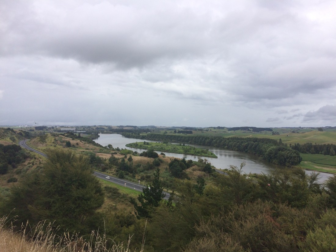


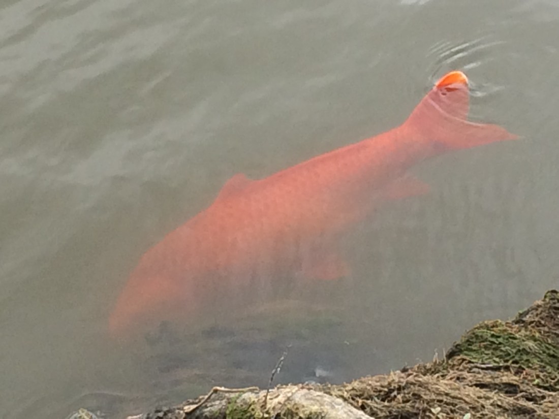
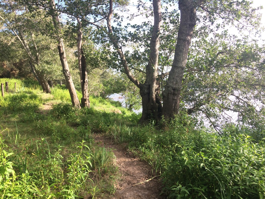


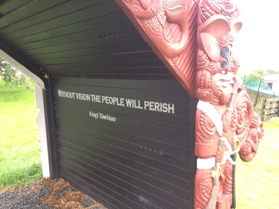


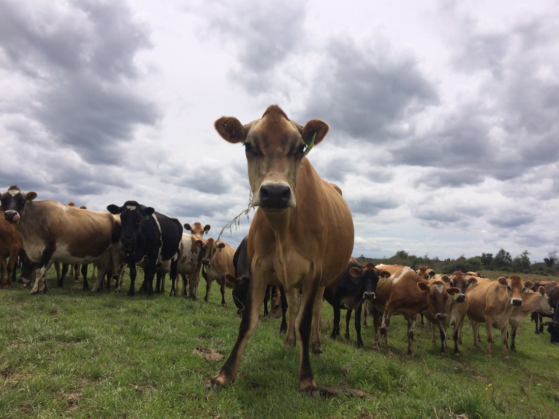

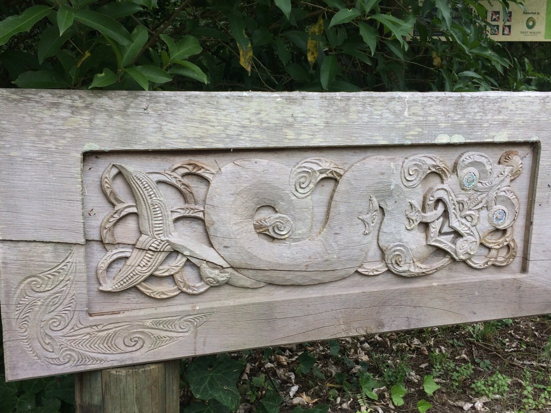
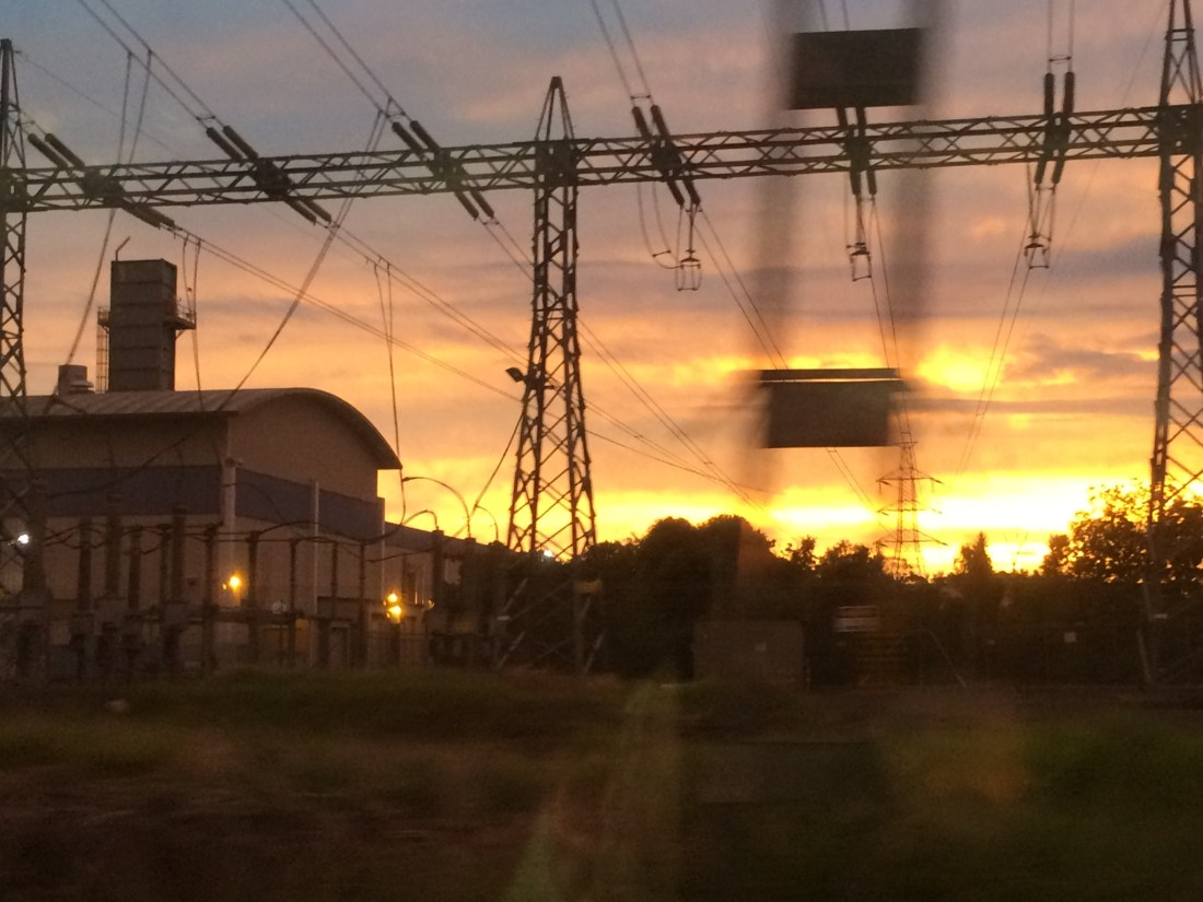
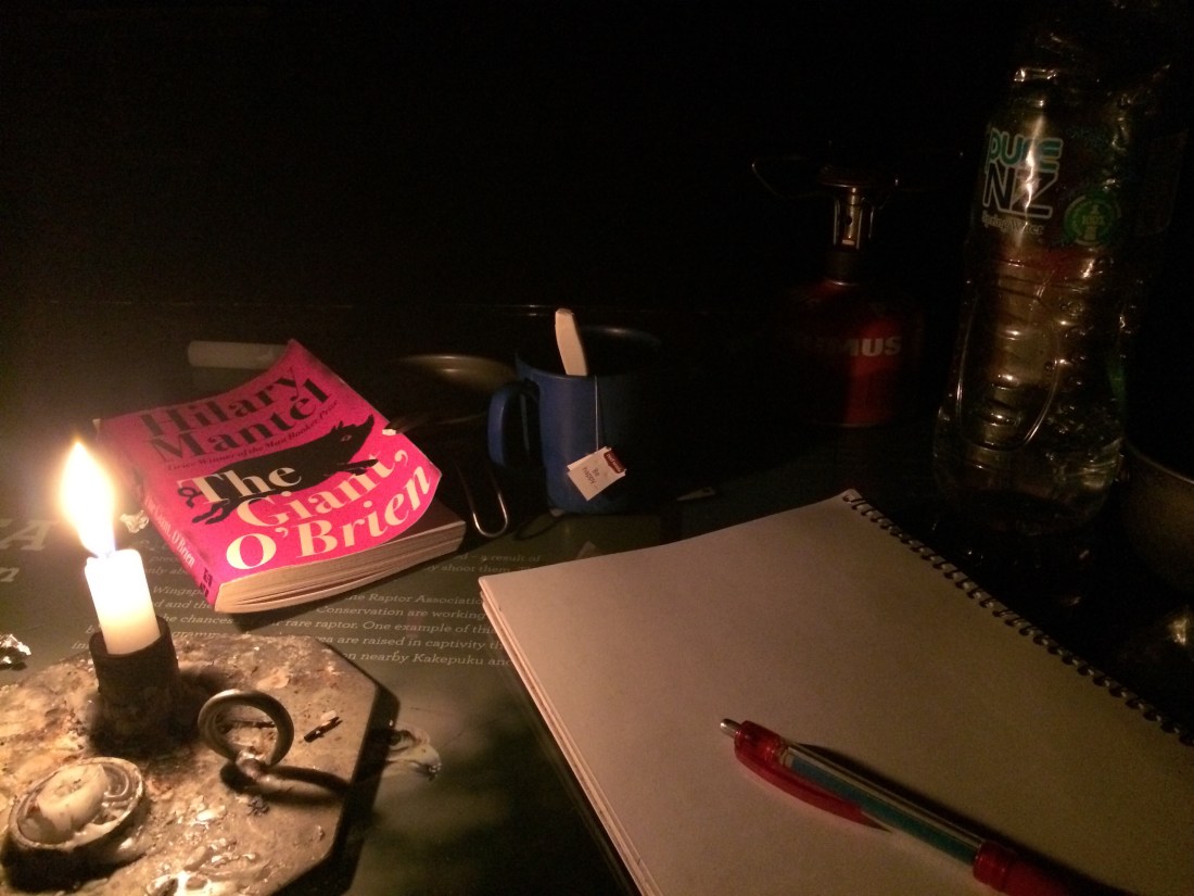
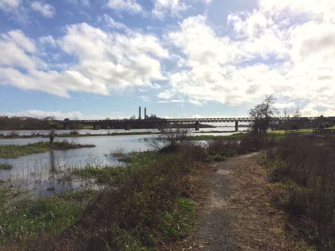
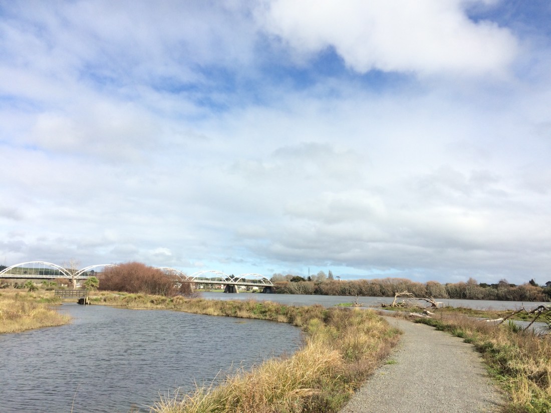


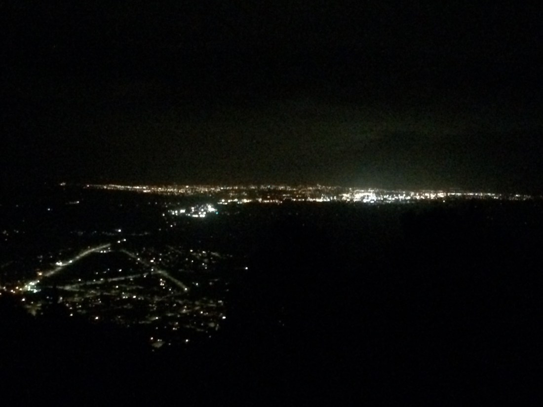

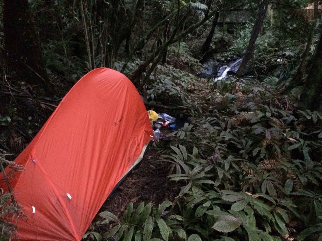
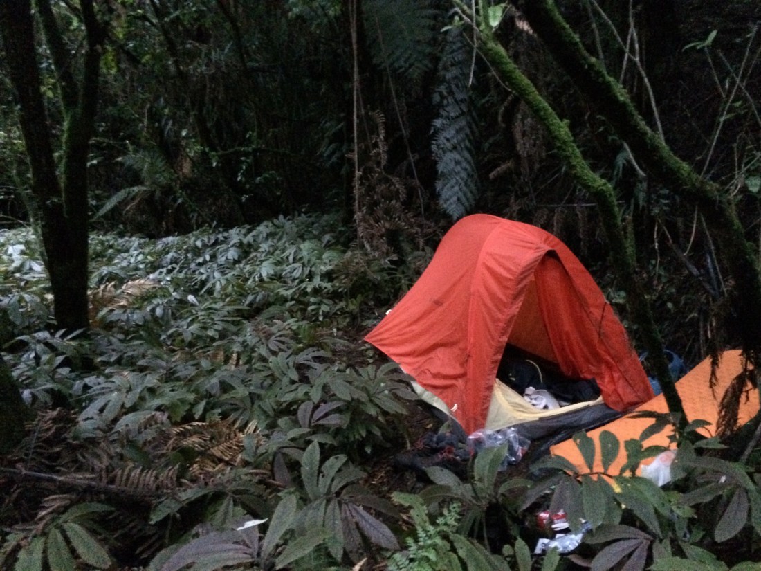
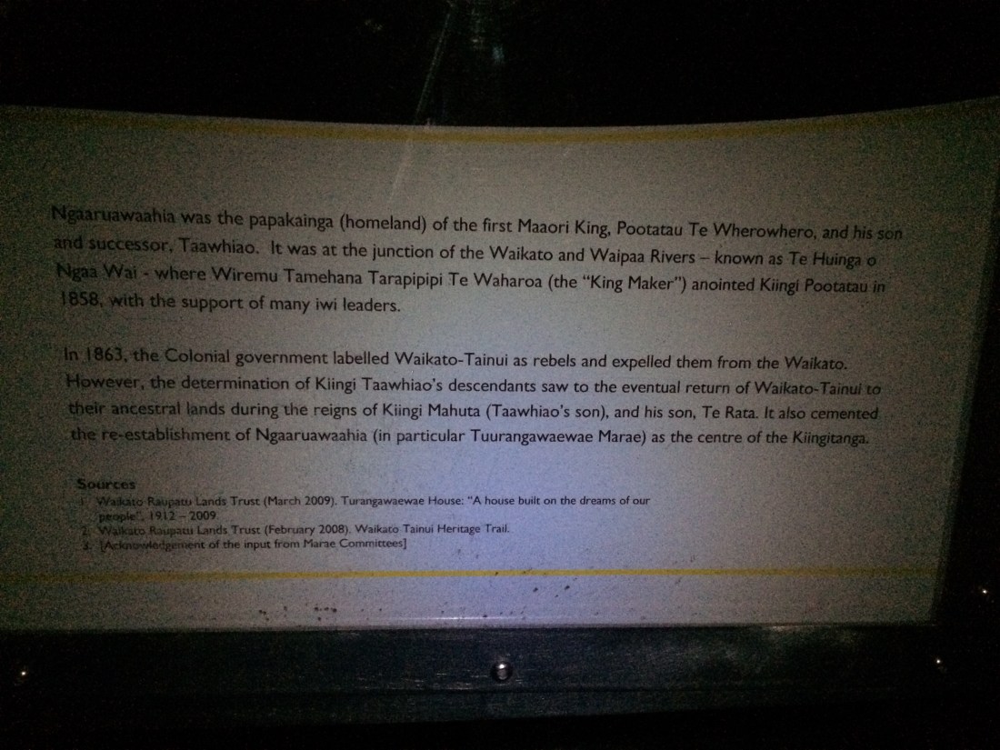
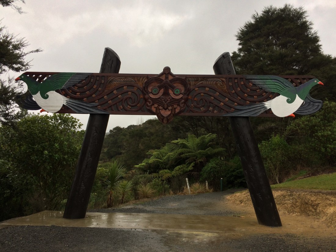


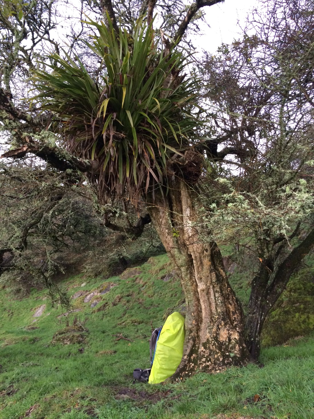


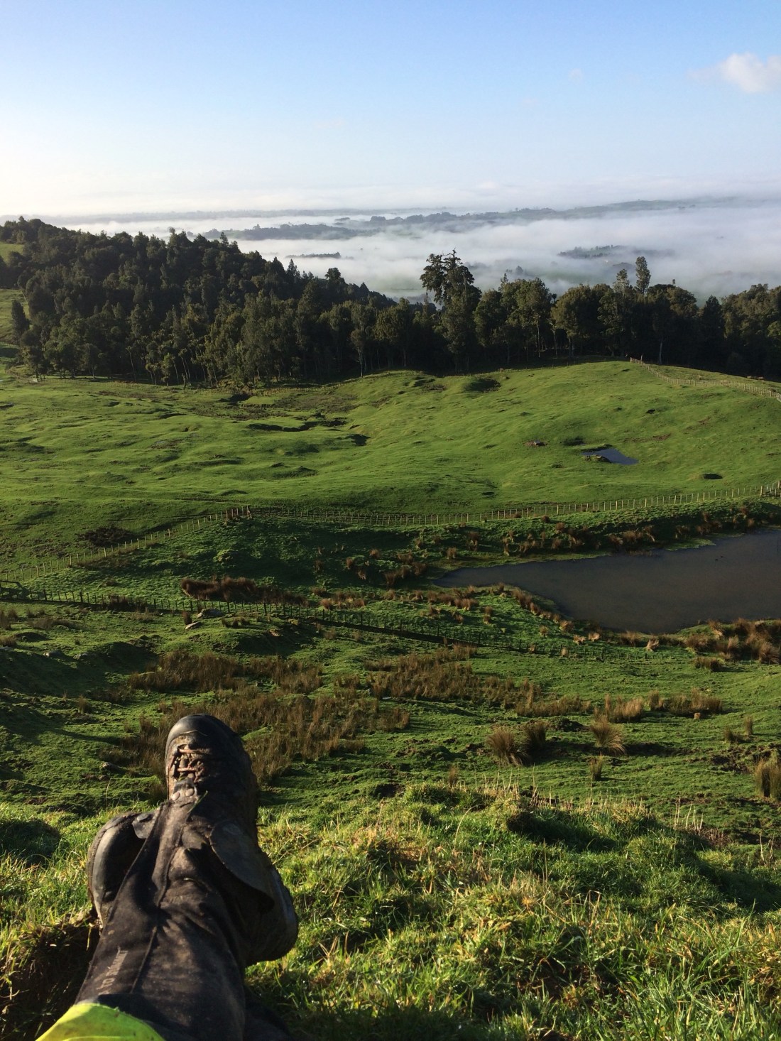


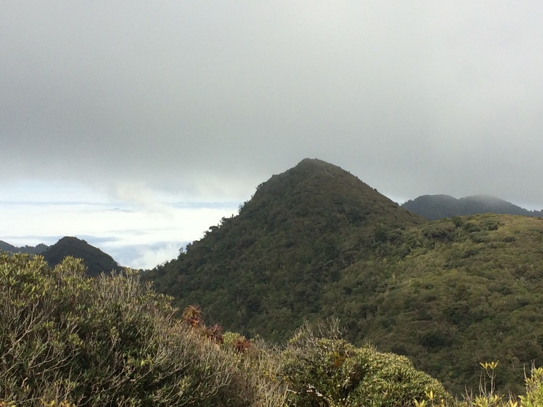


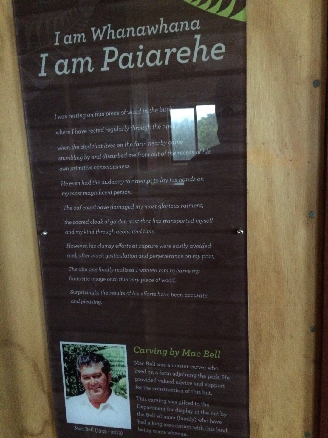


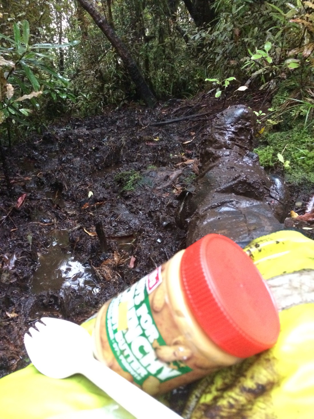

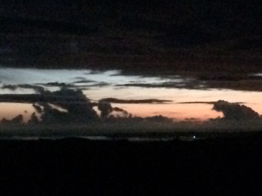


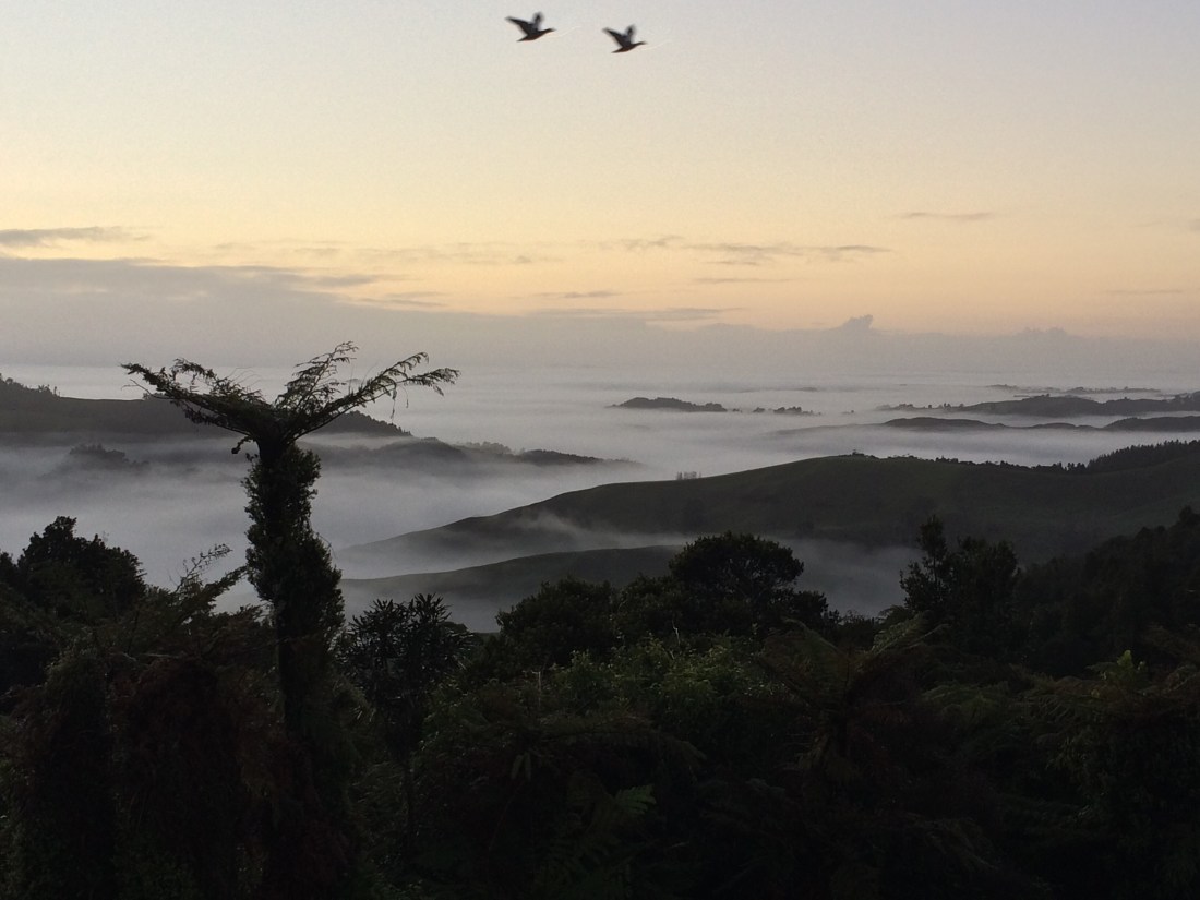
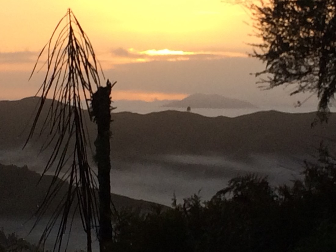


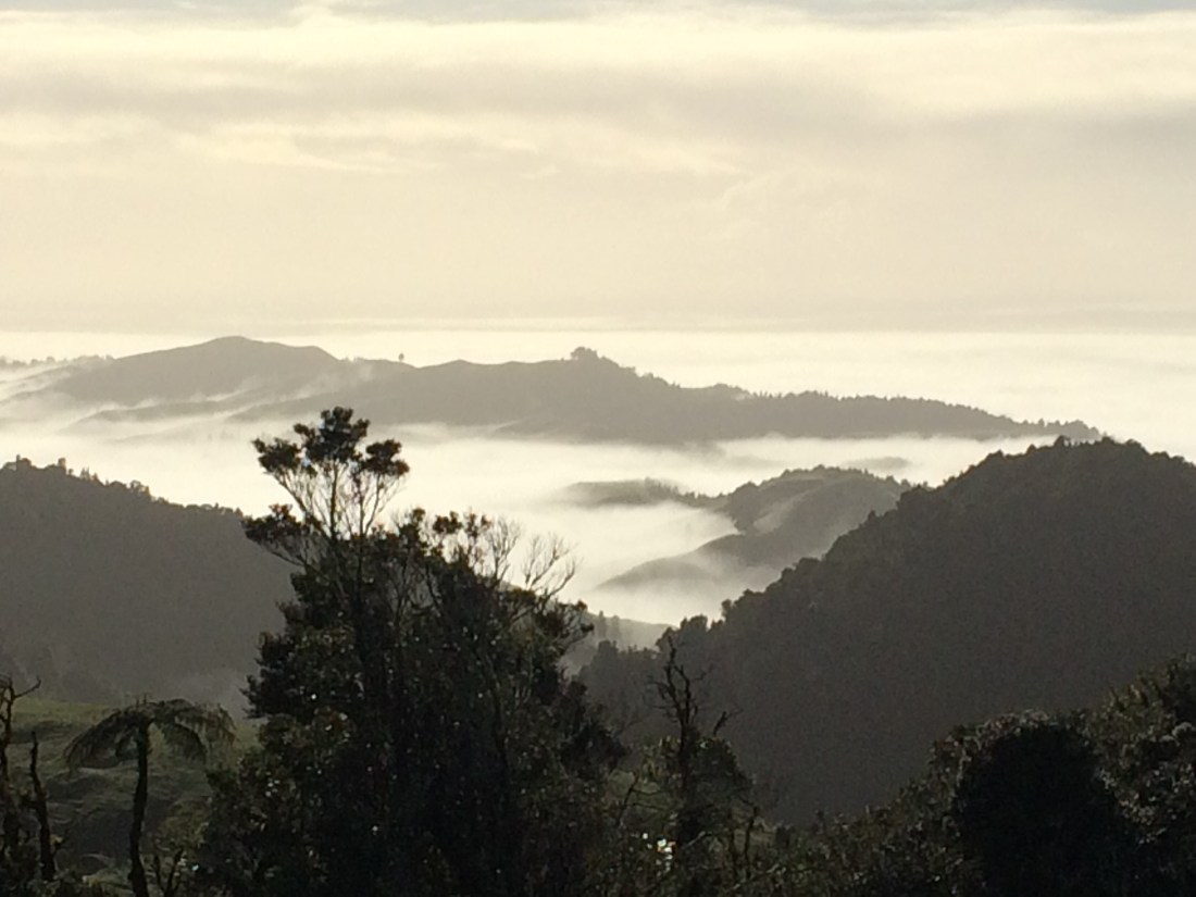
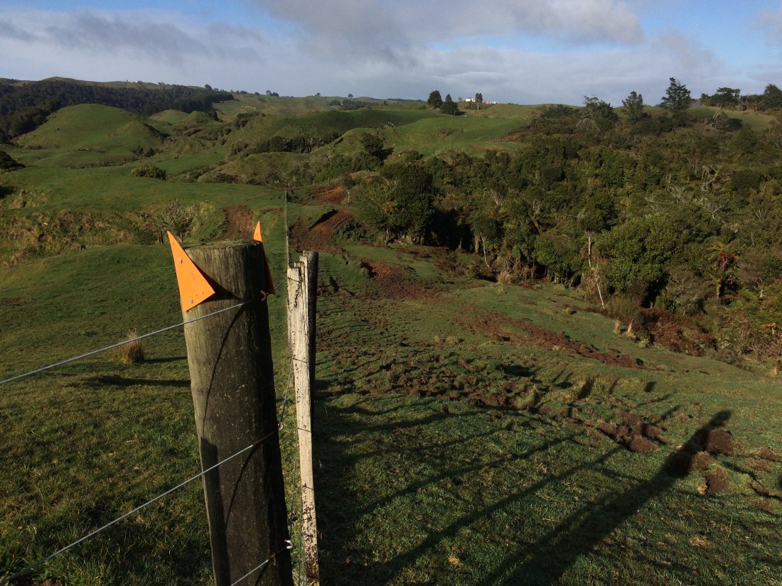
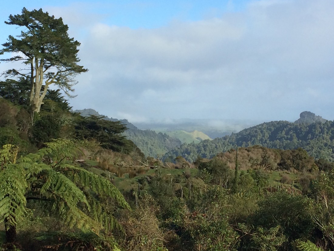


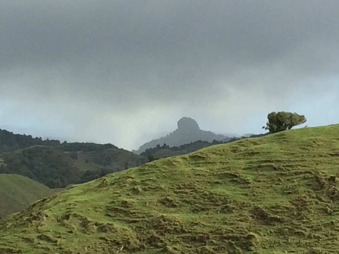
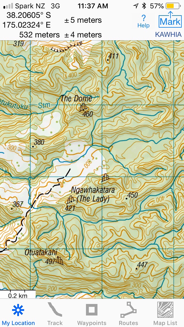 \
\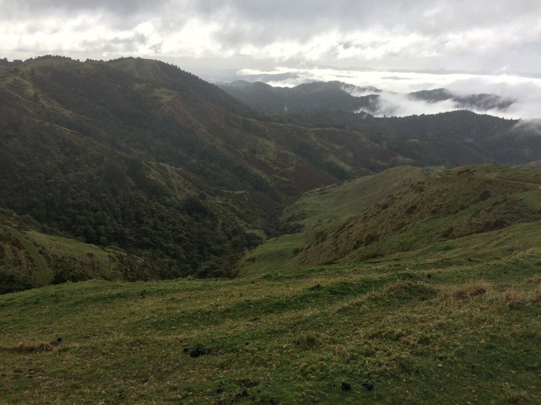
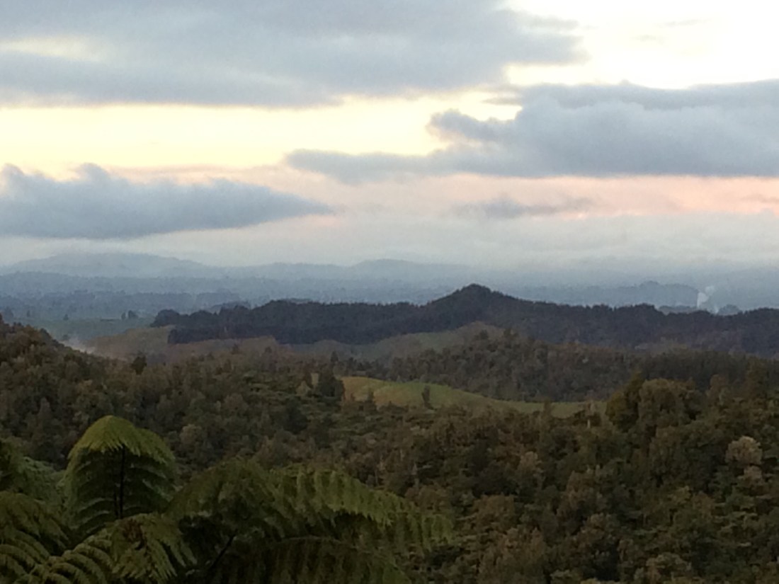

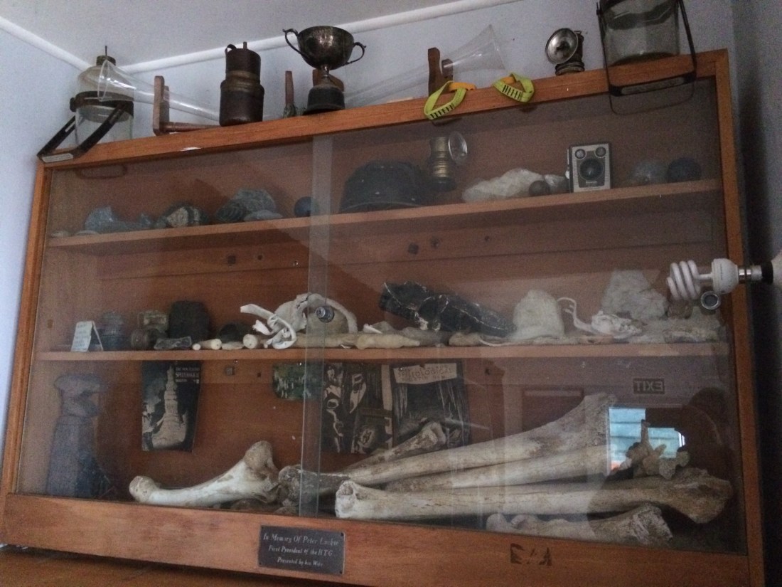


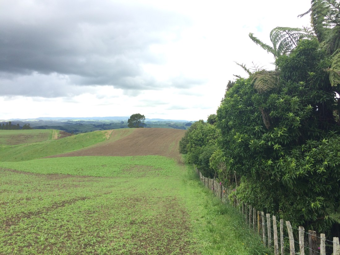


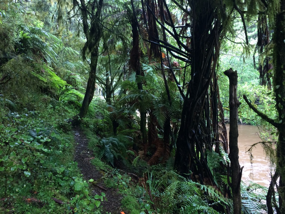


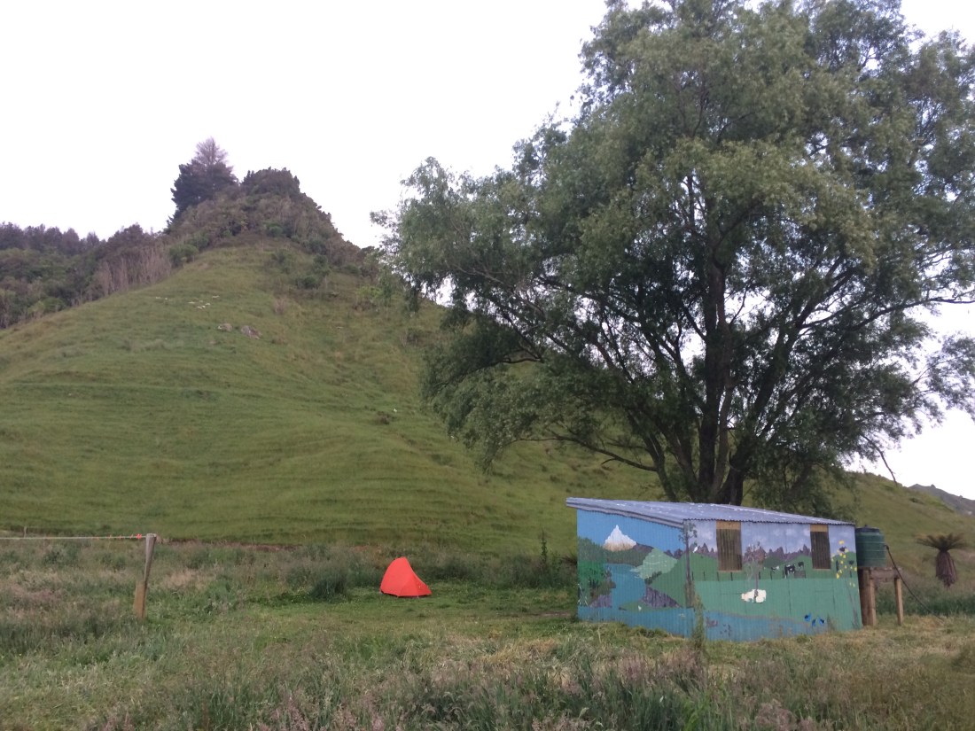
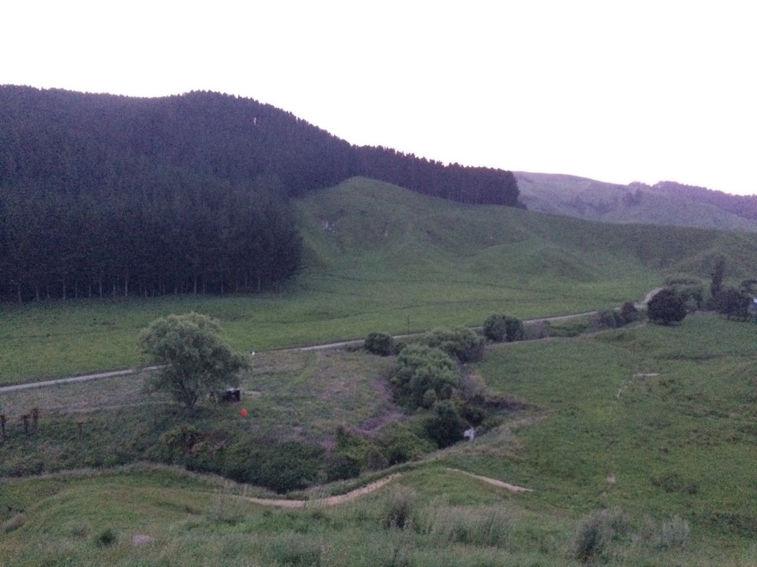
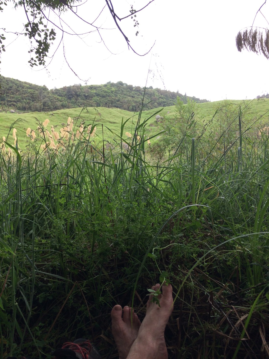

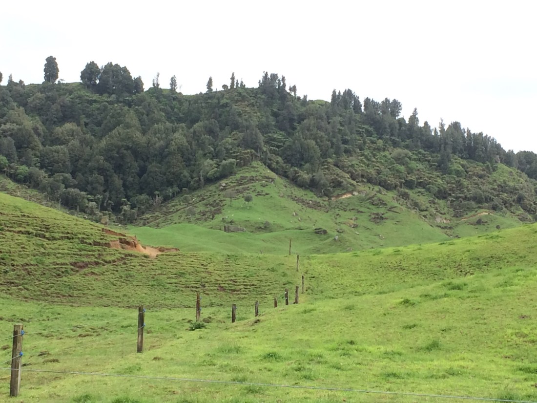
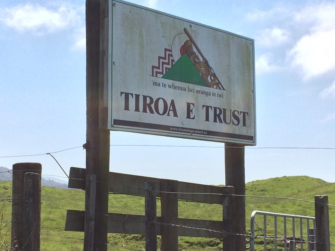
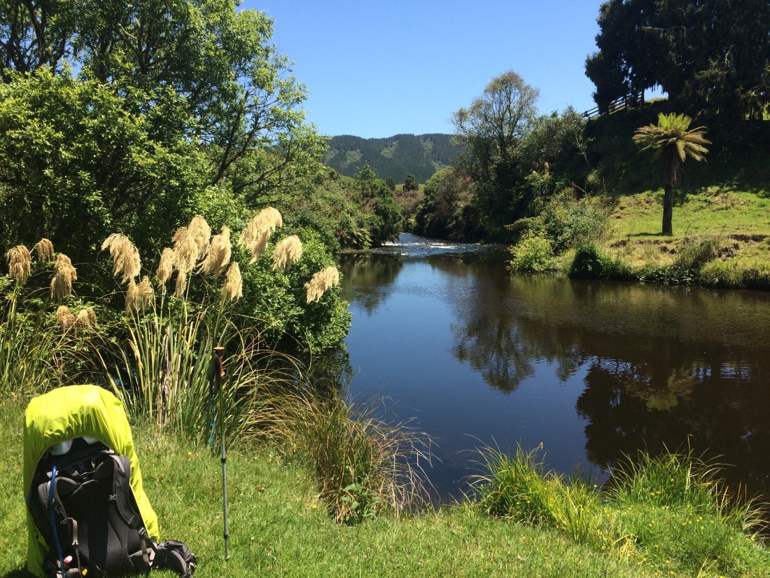
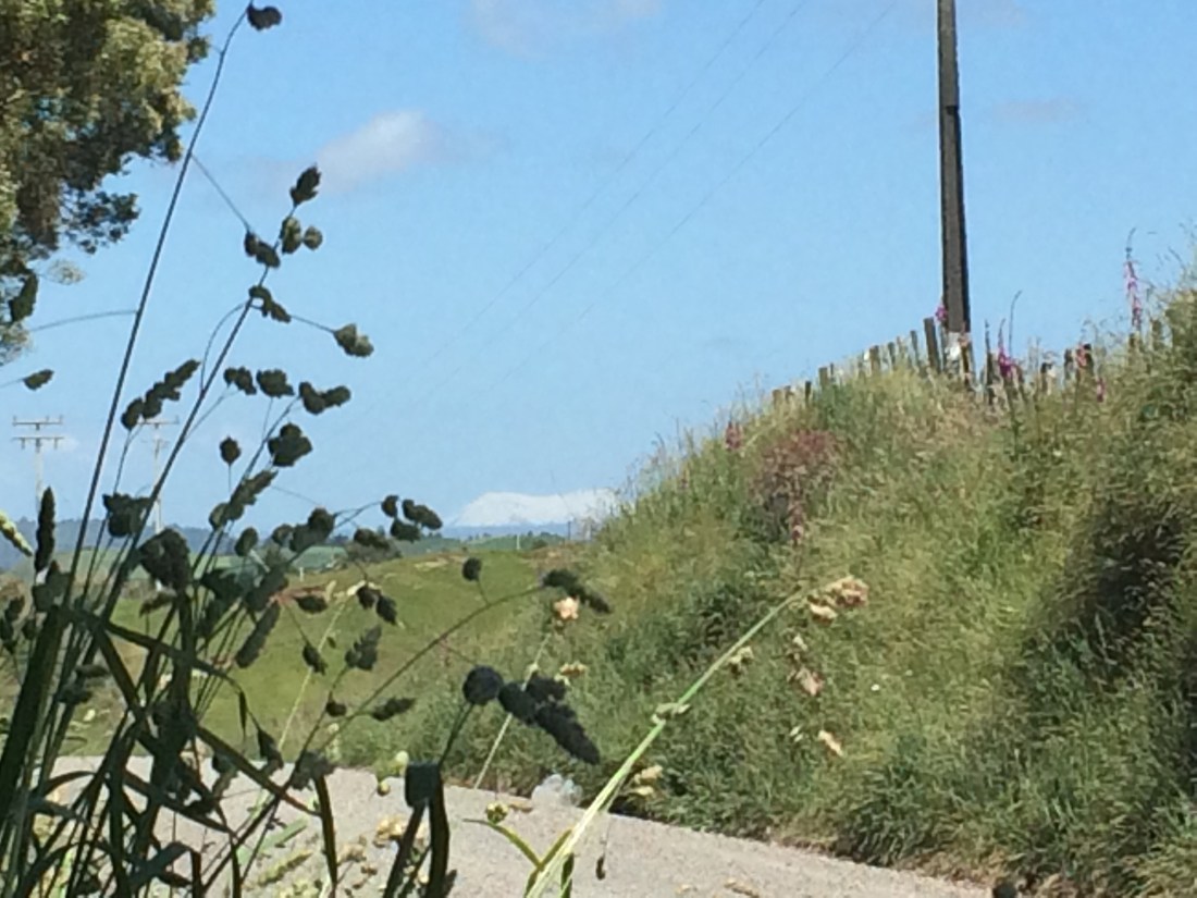
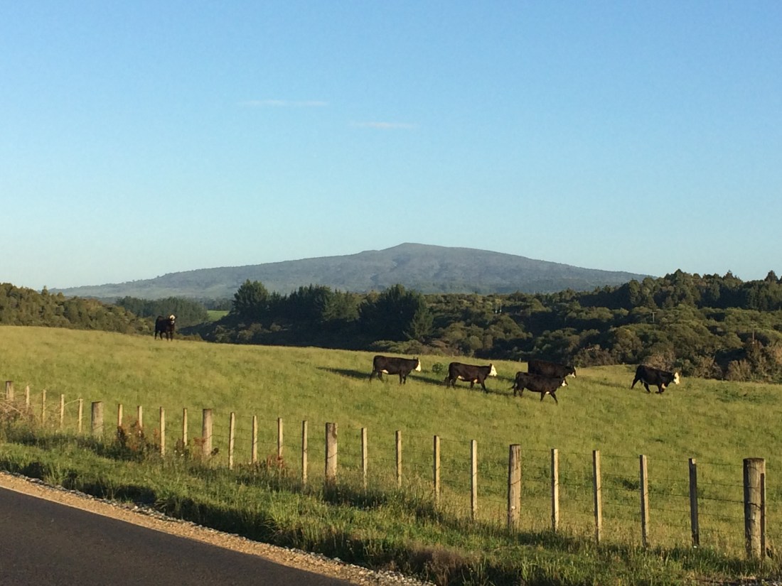
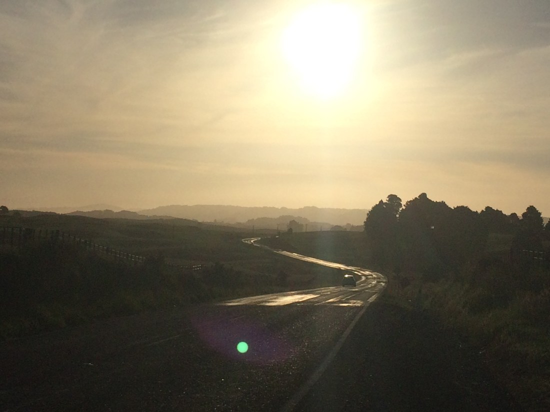
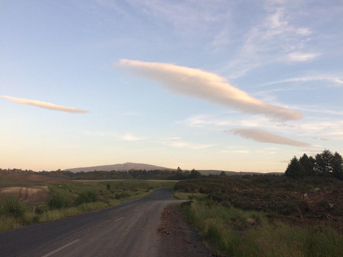


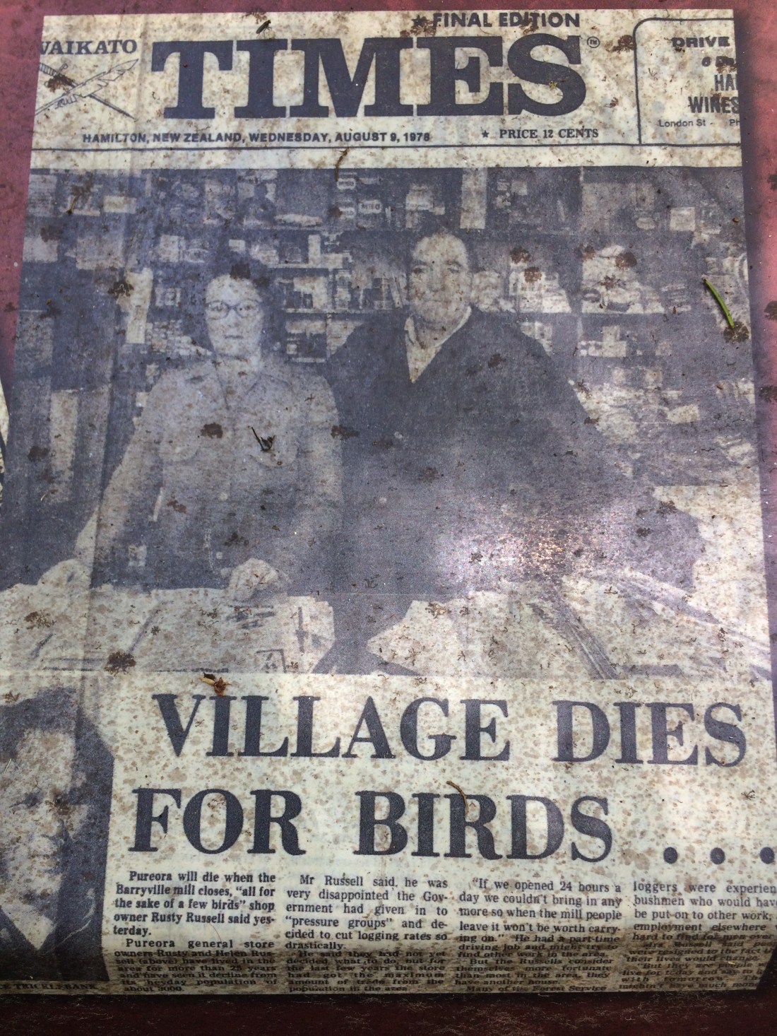
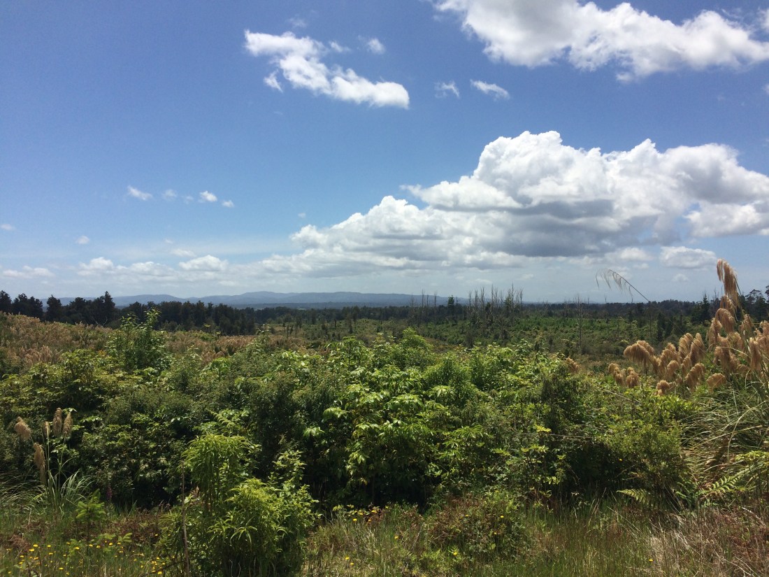

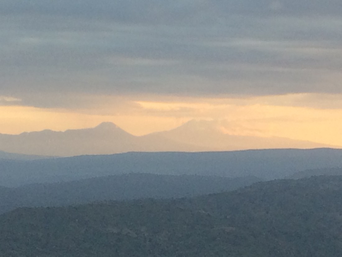
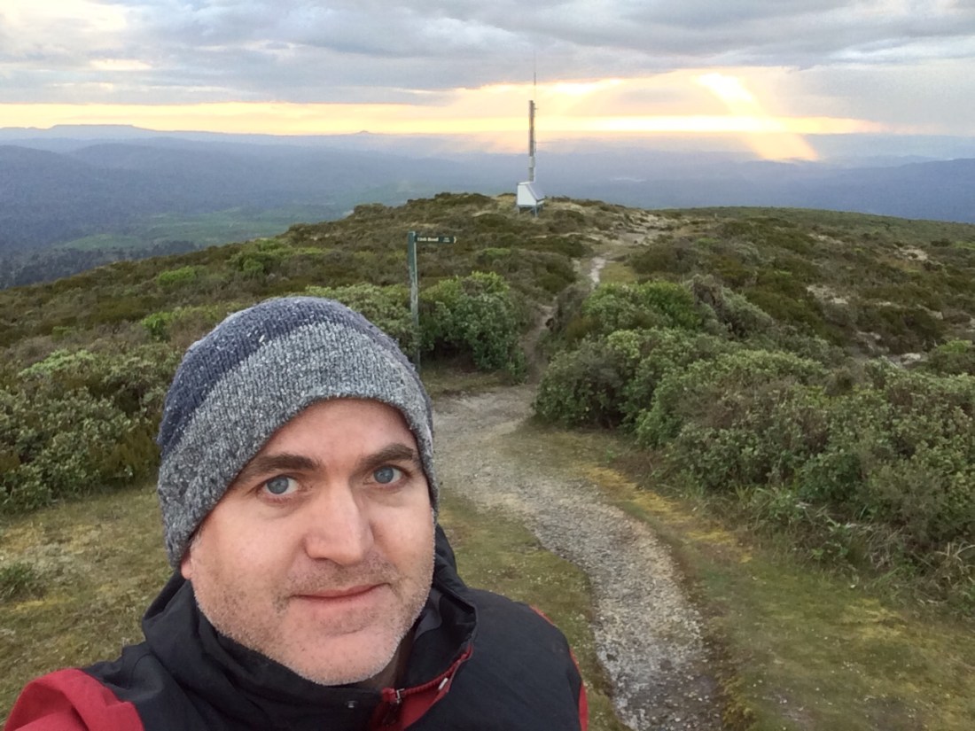
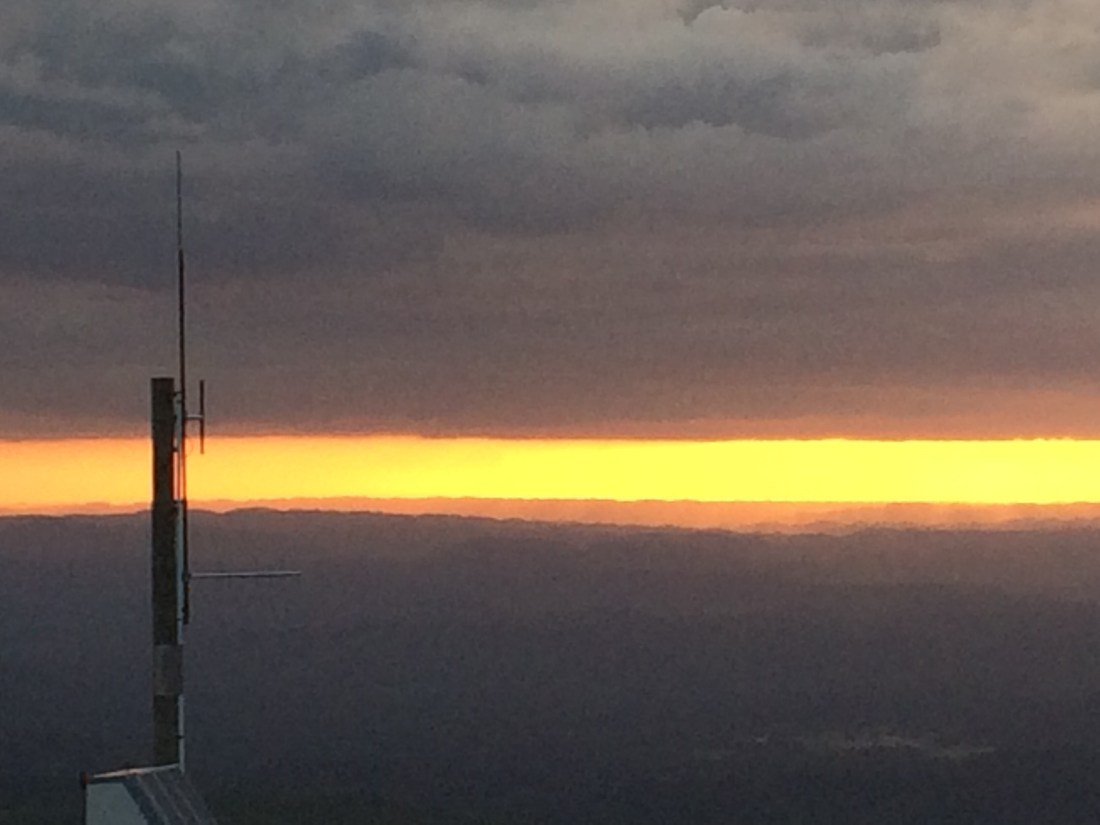


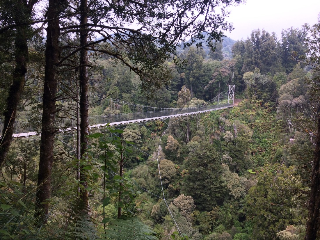


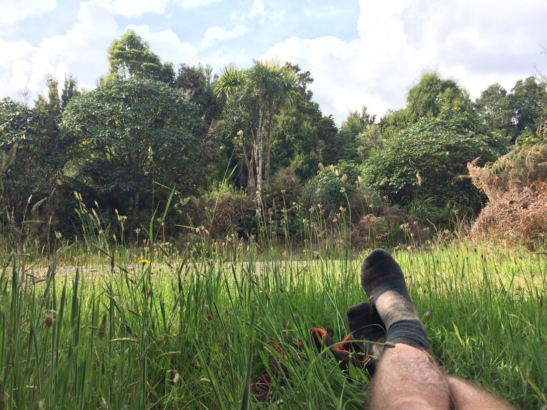

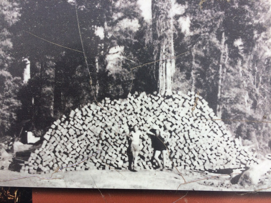


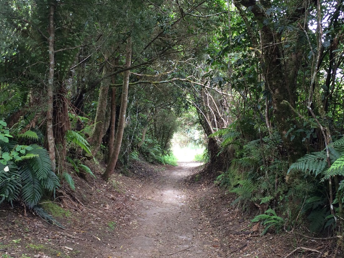


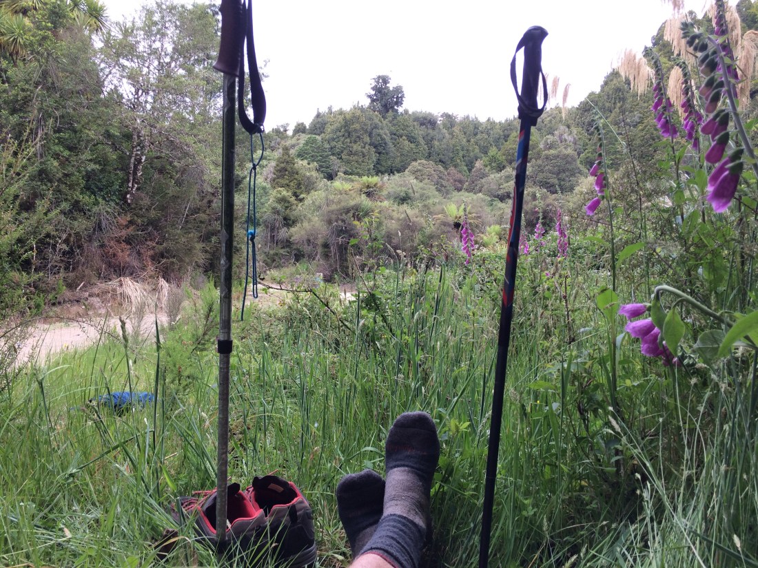


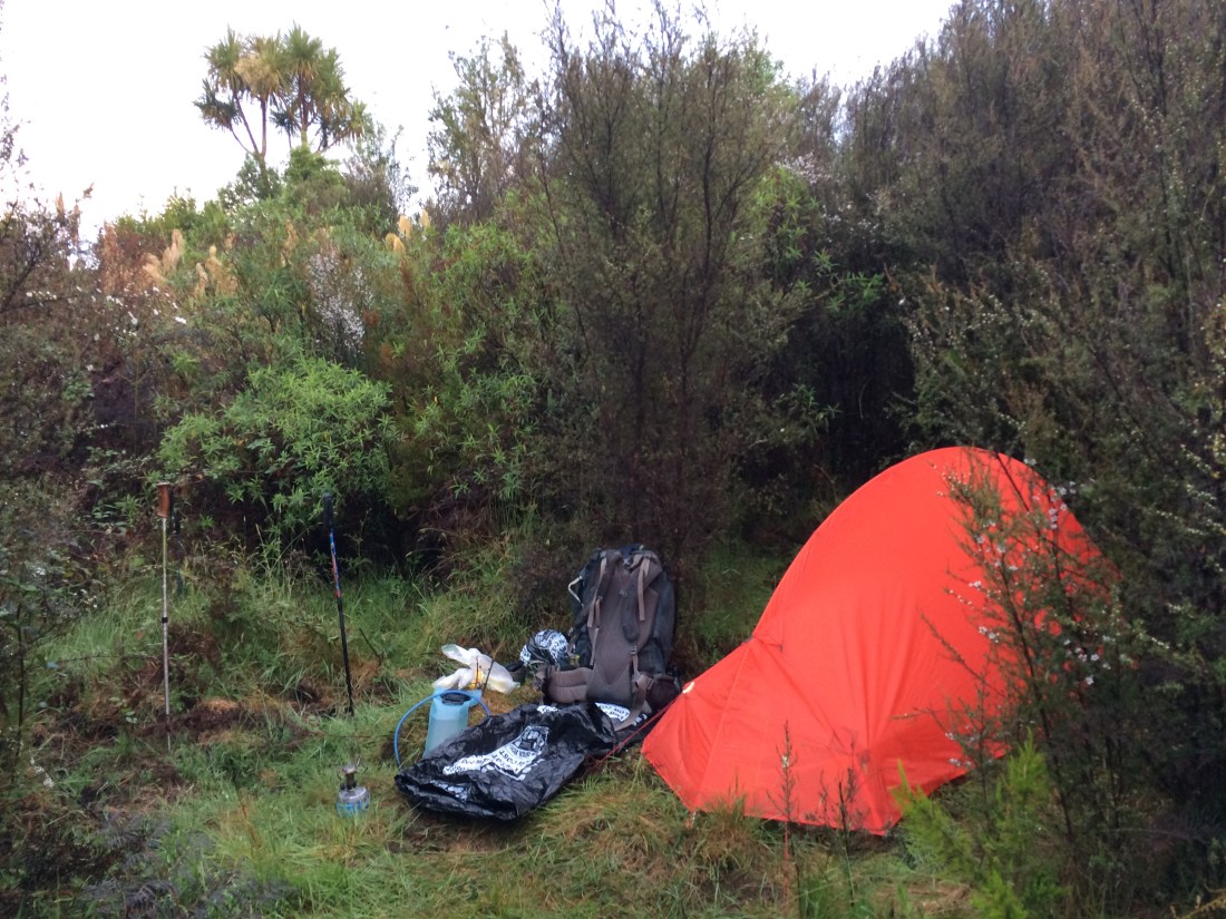
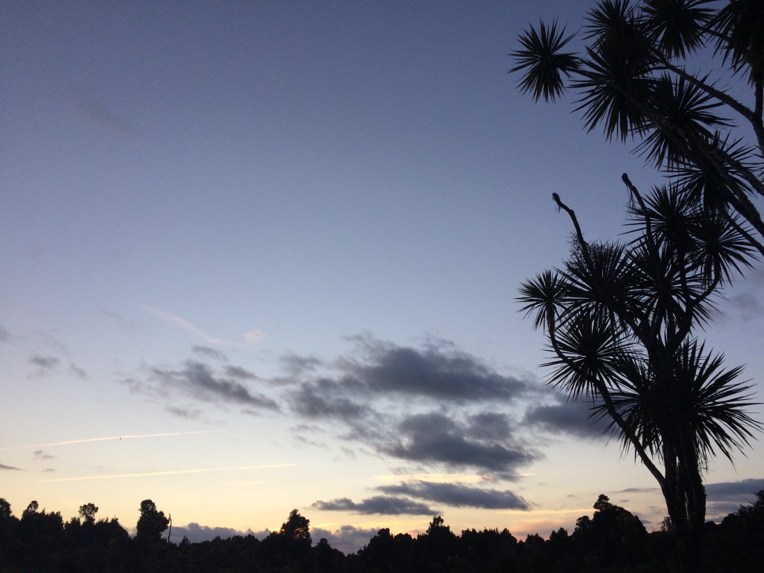
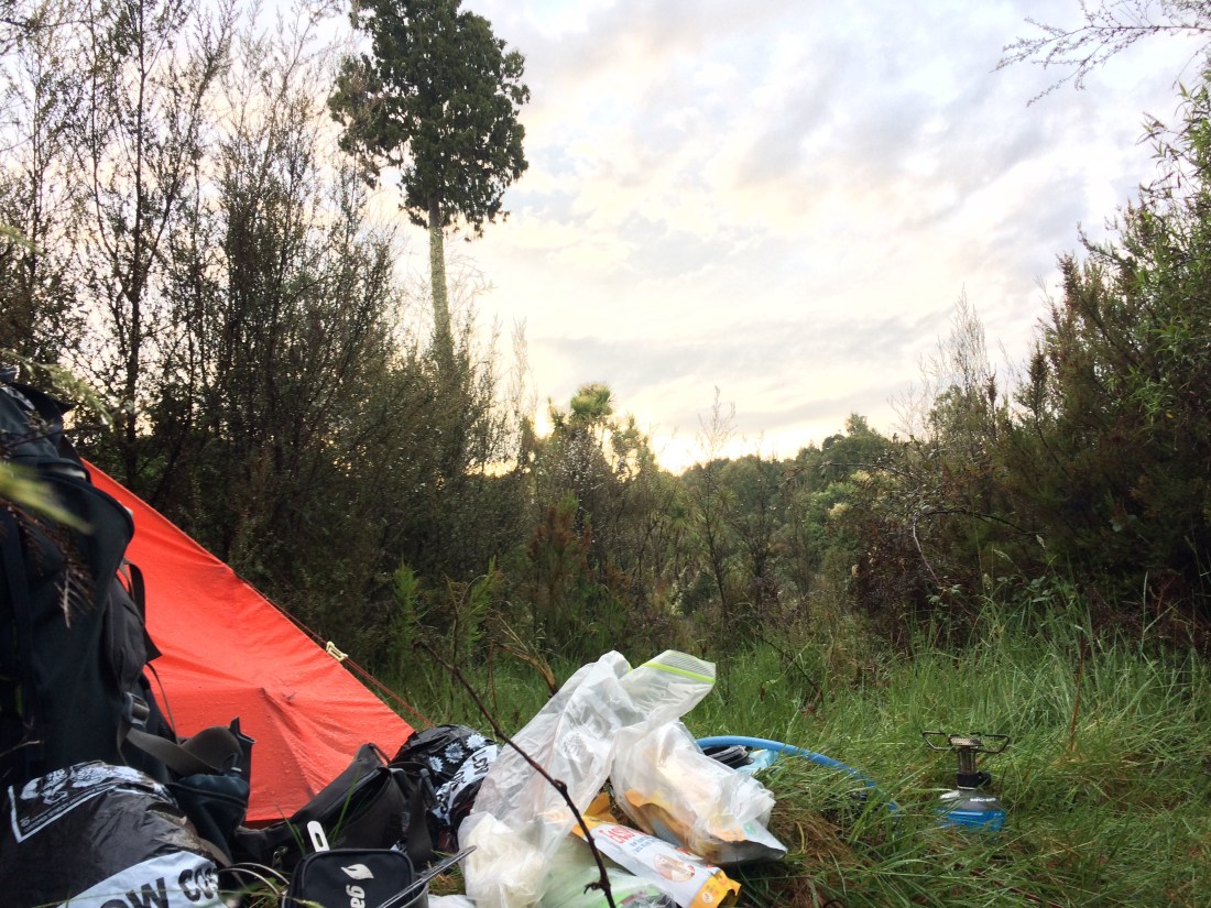


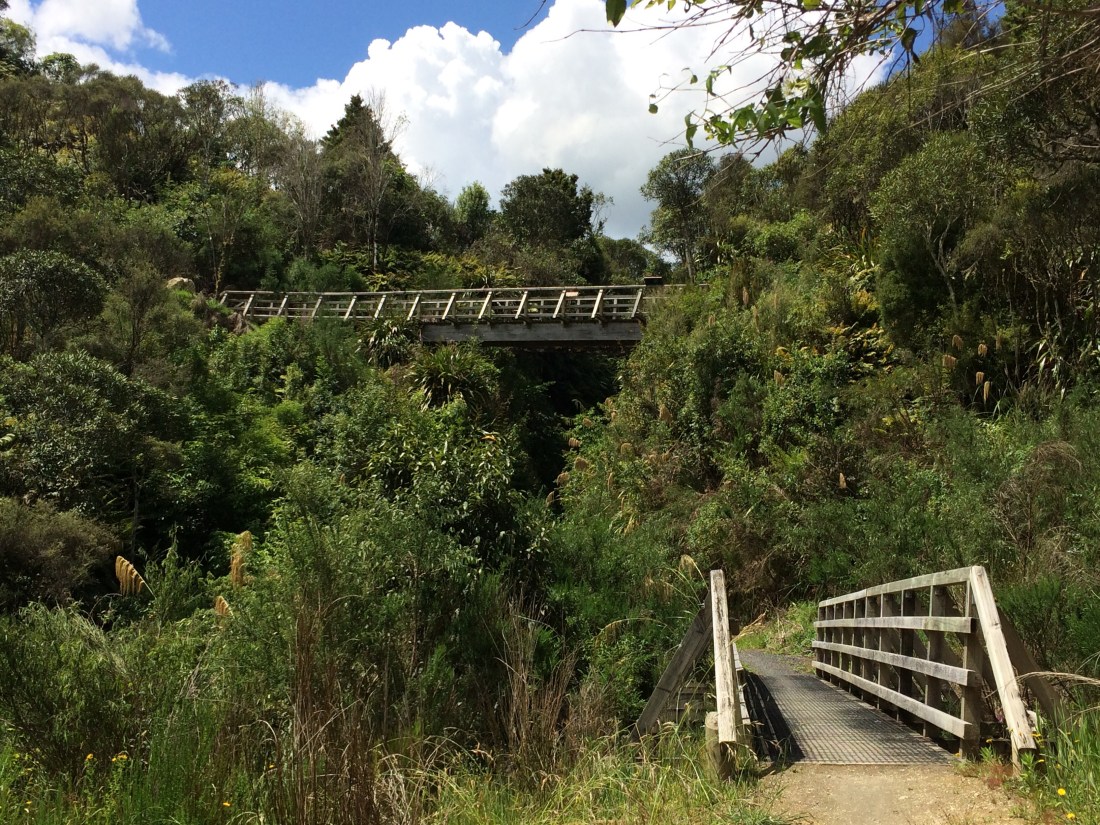

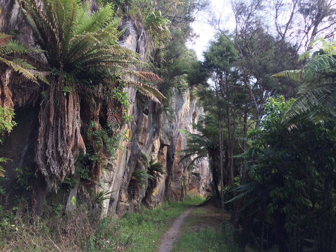
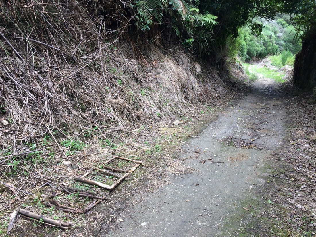
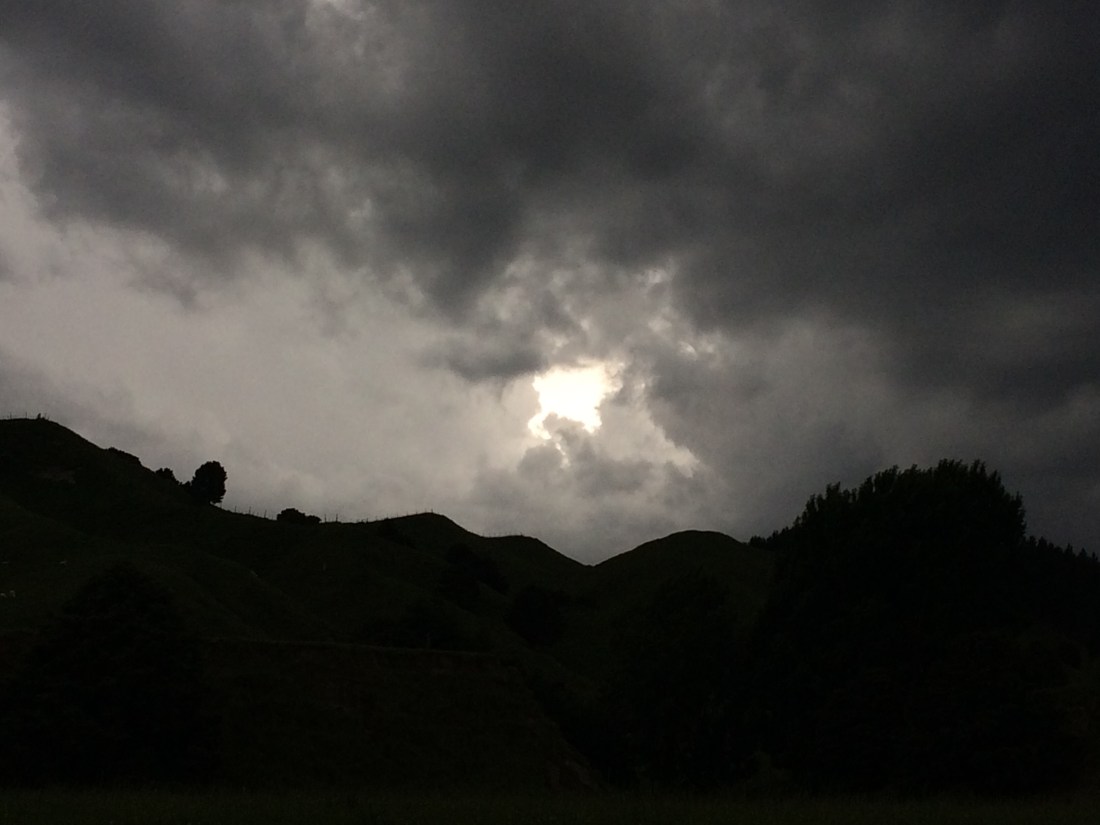
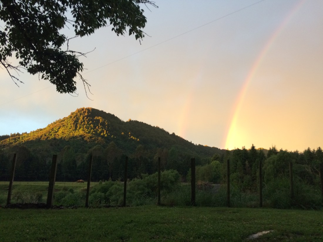


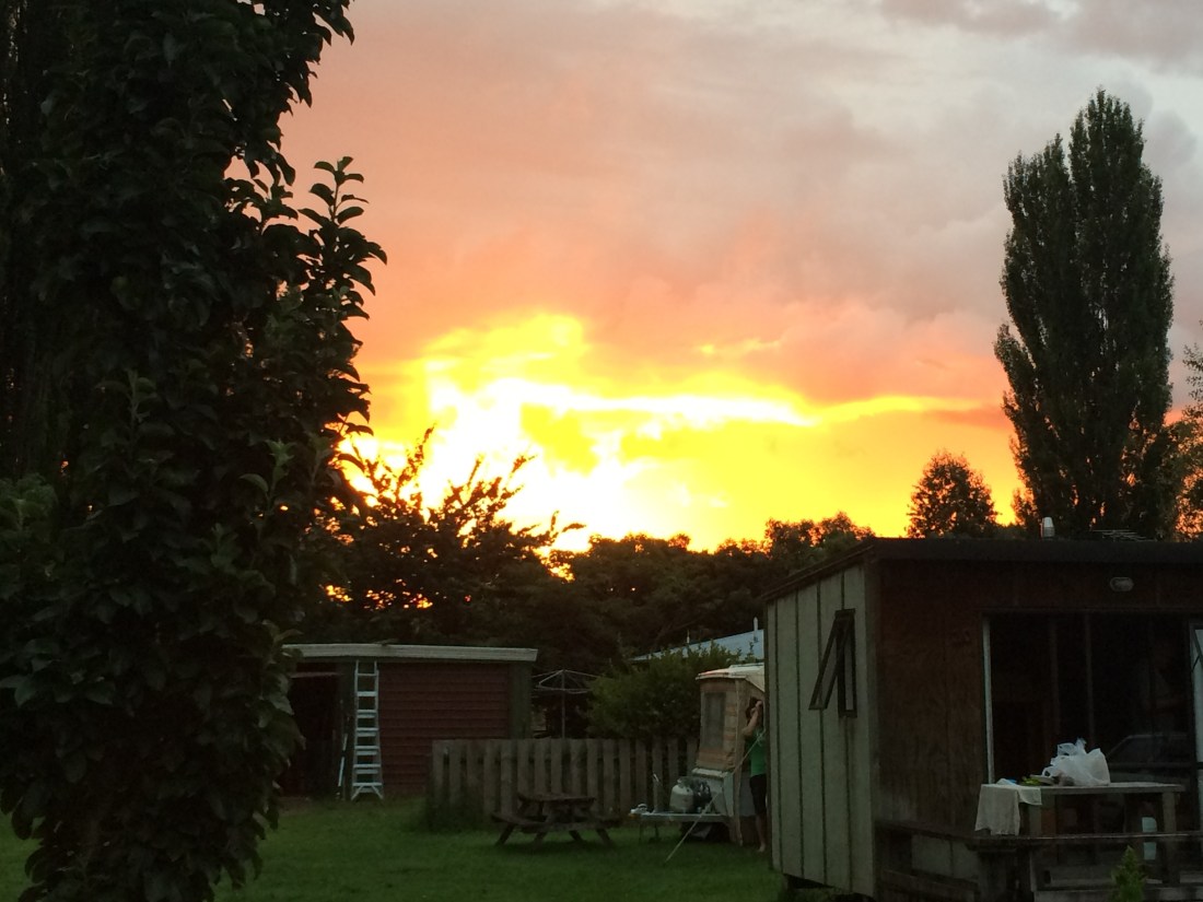

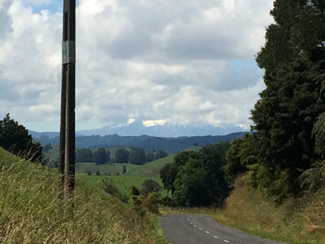
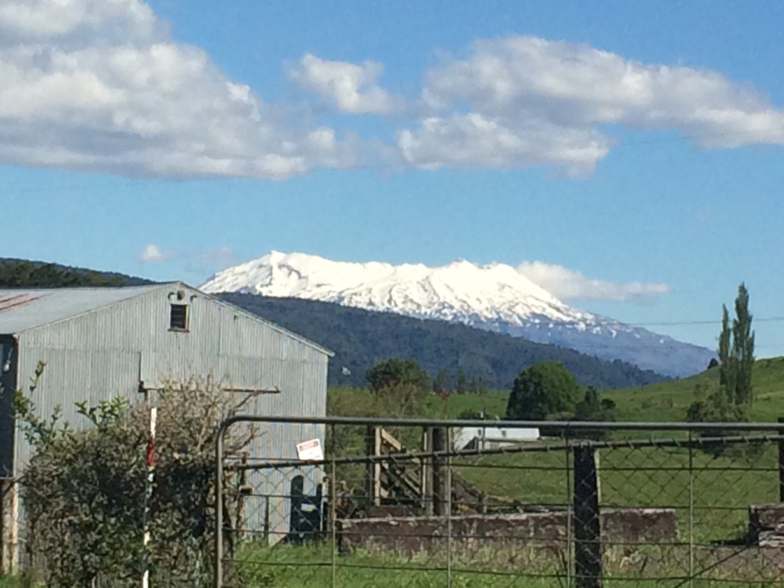
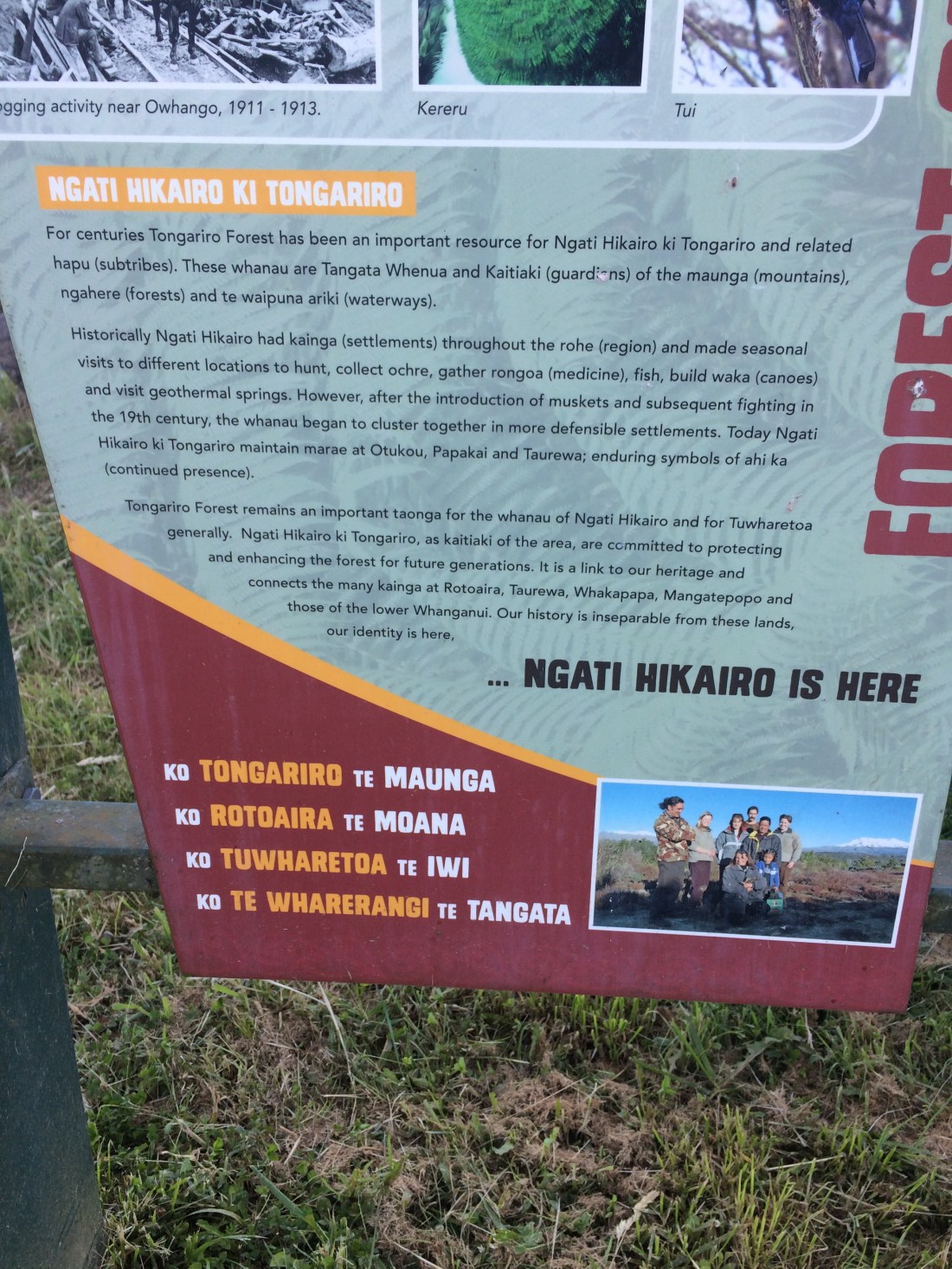


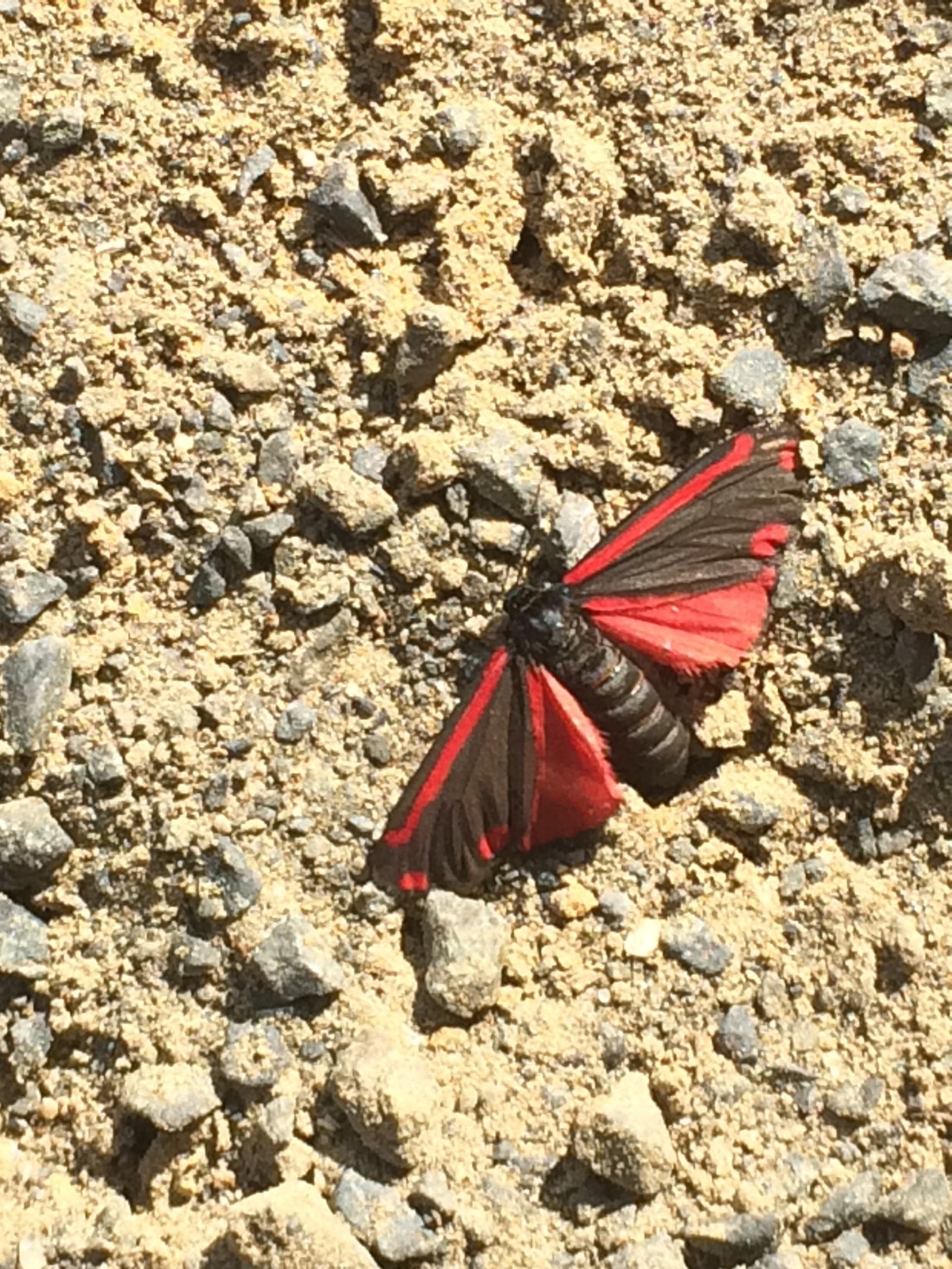


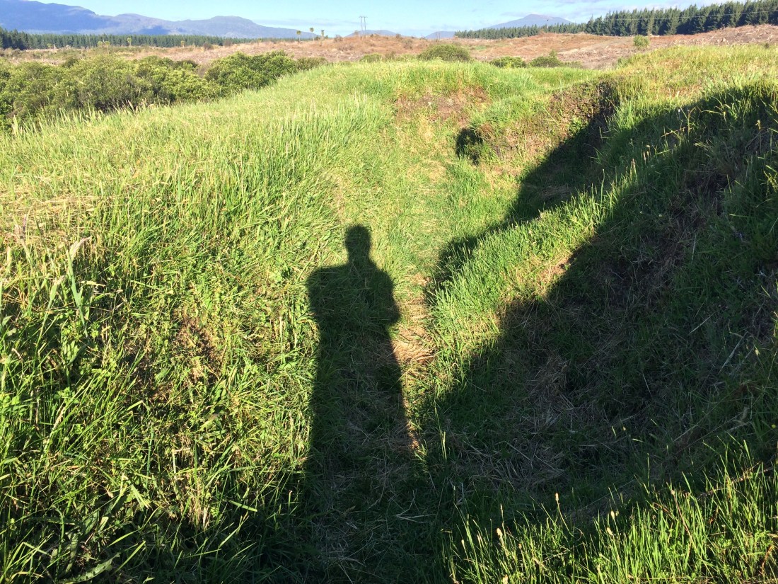
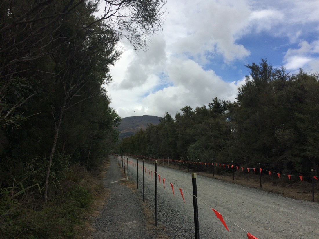


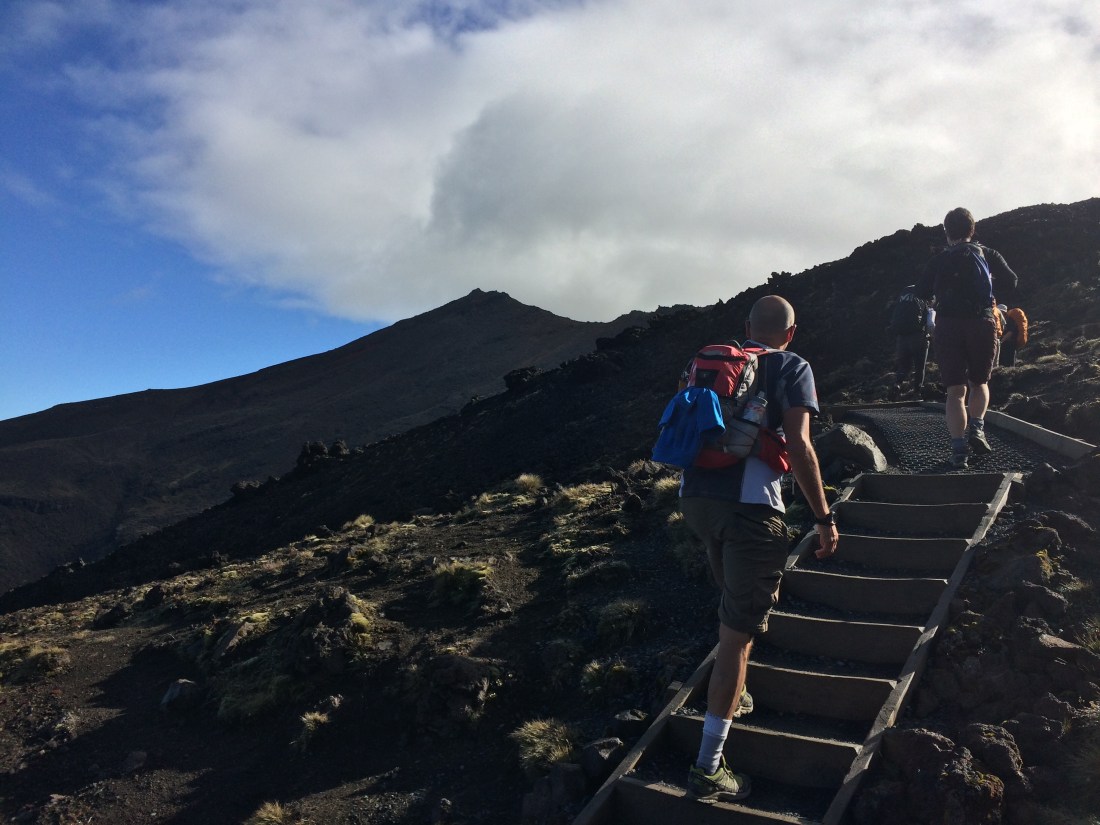
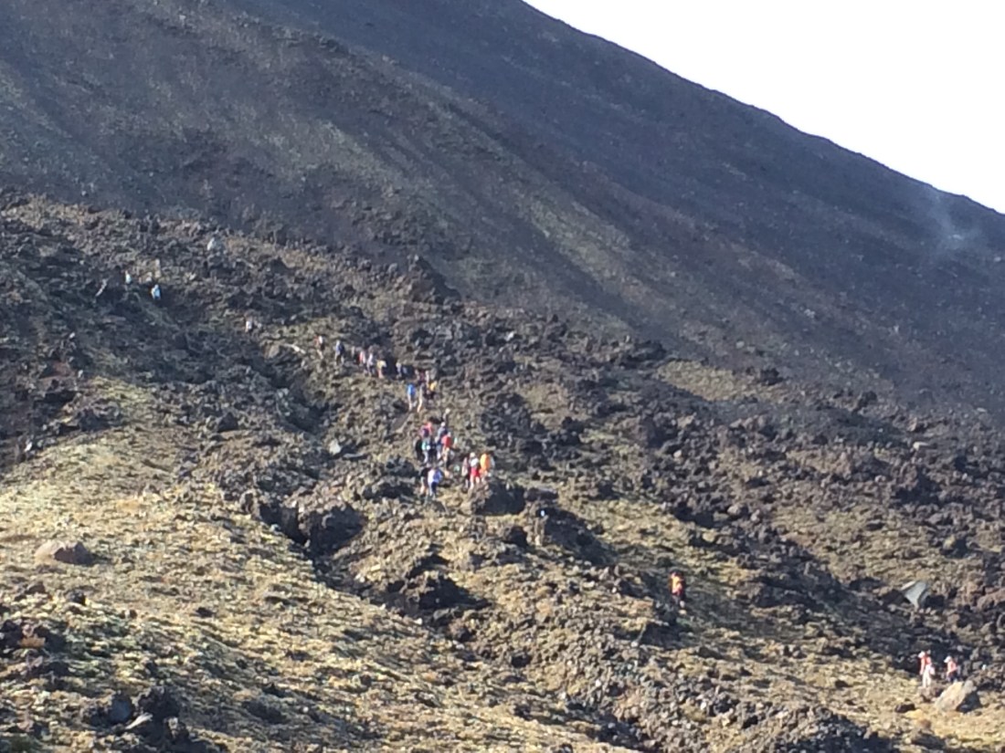
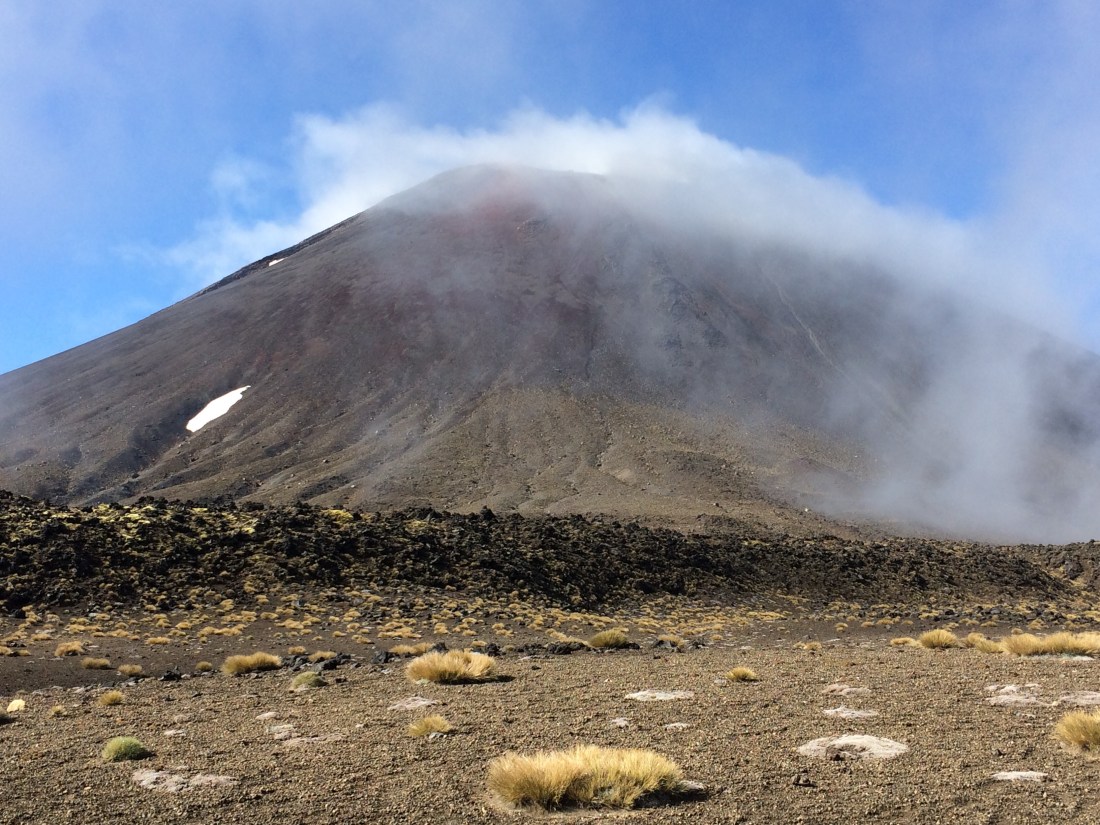

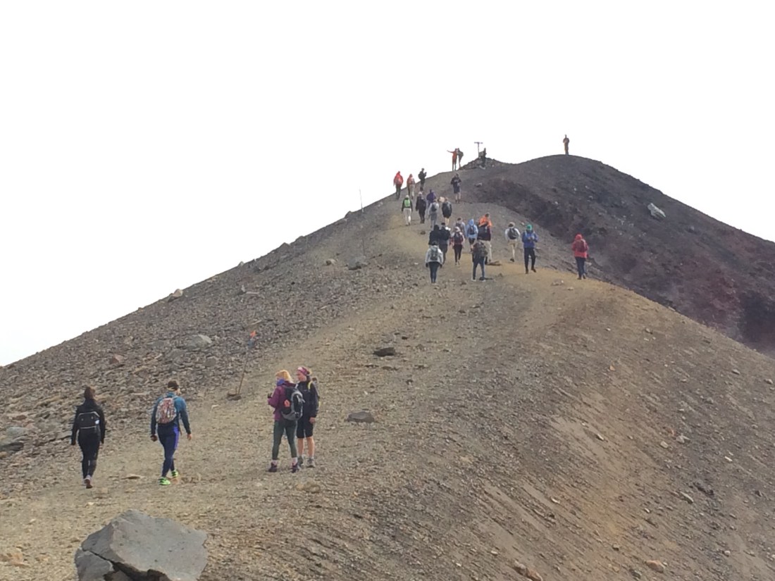

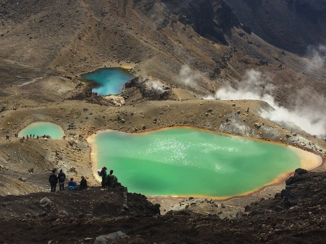

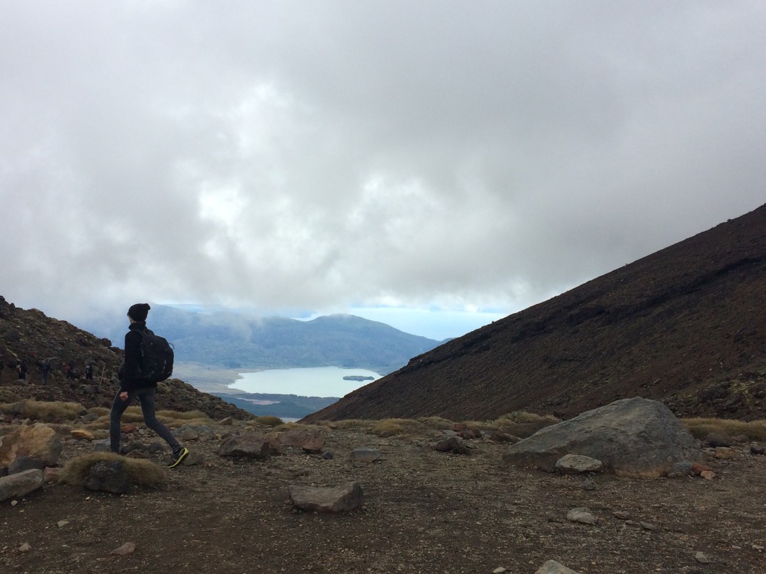


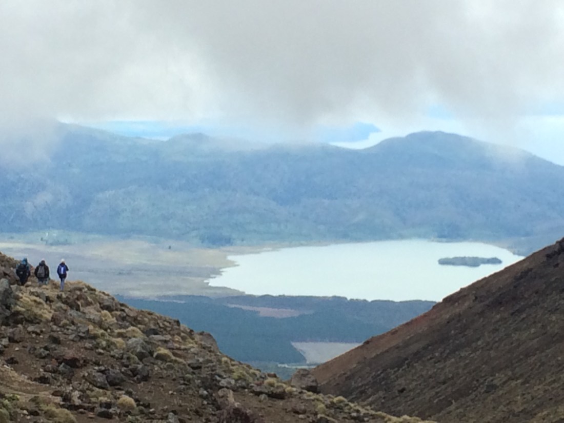


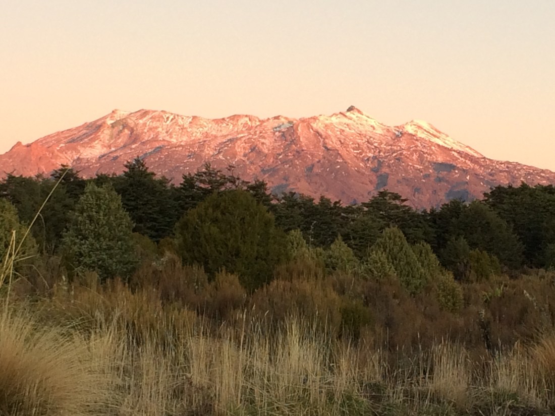

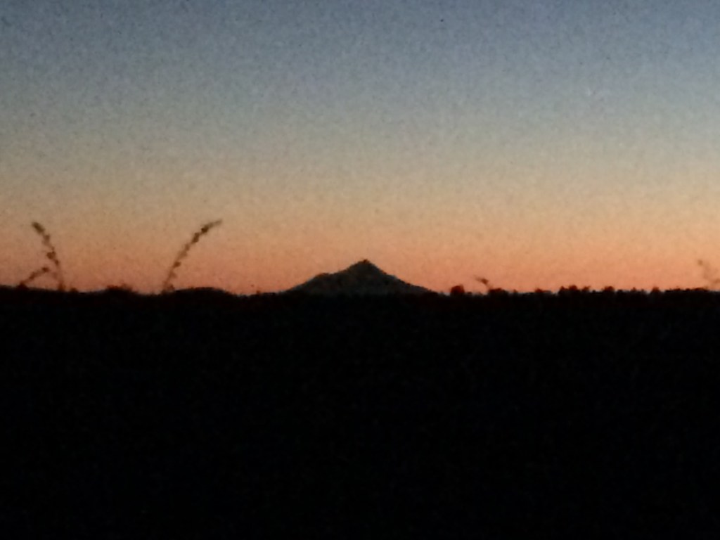


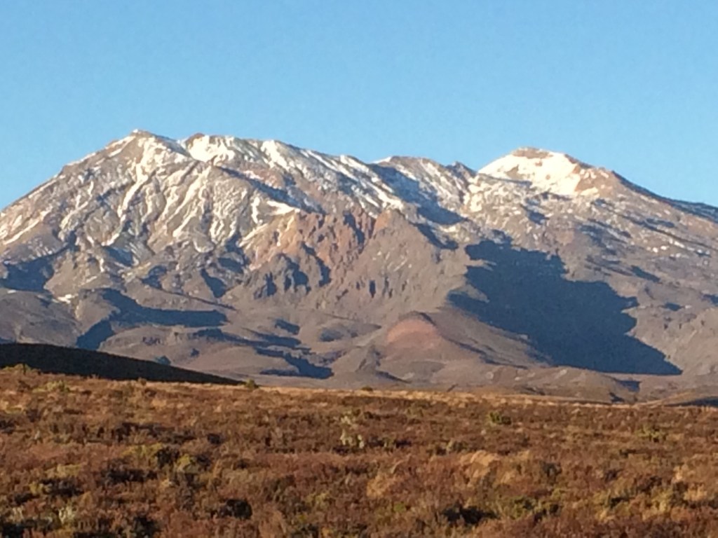

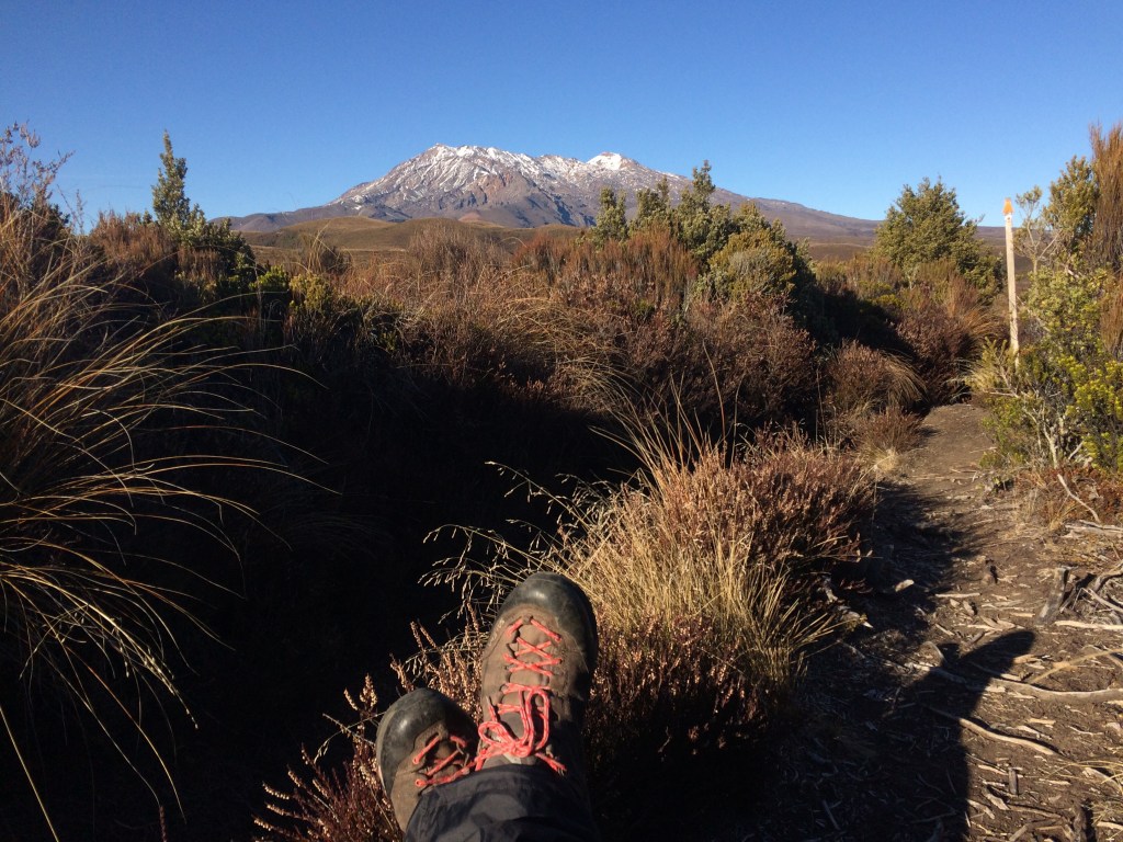


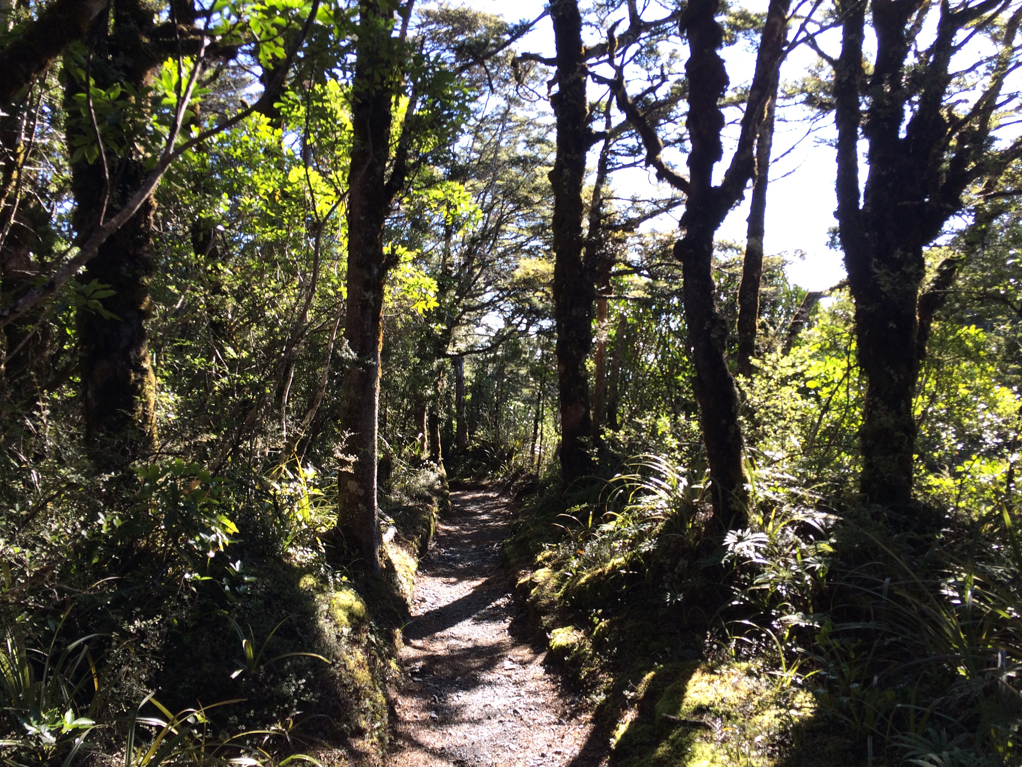
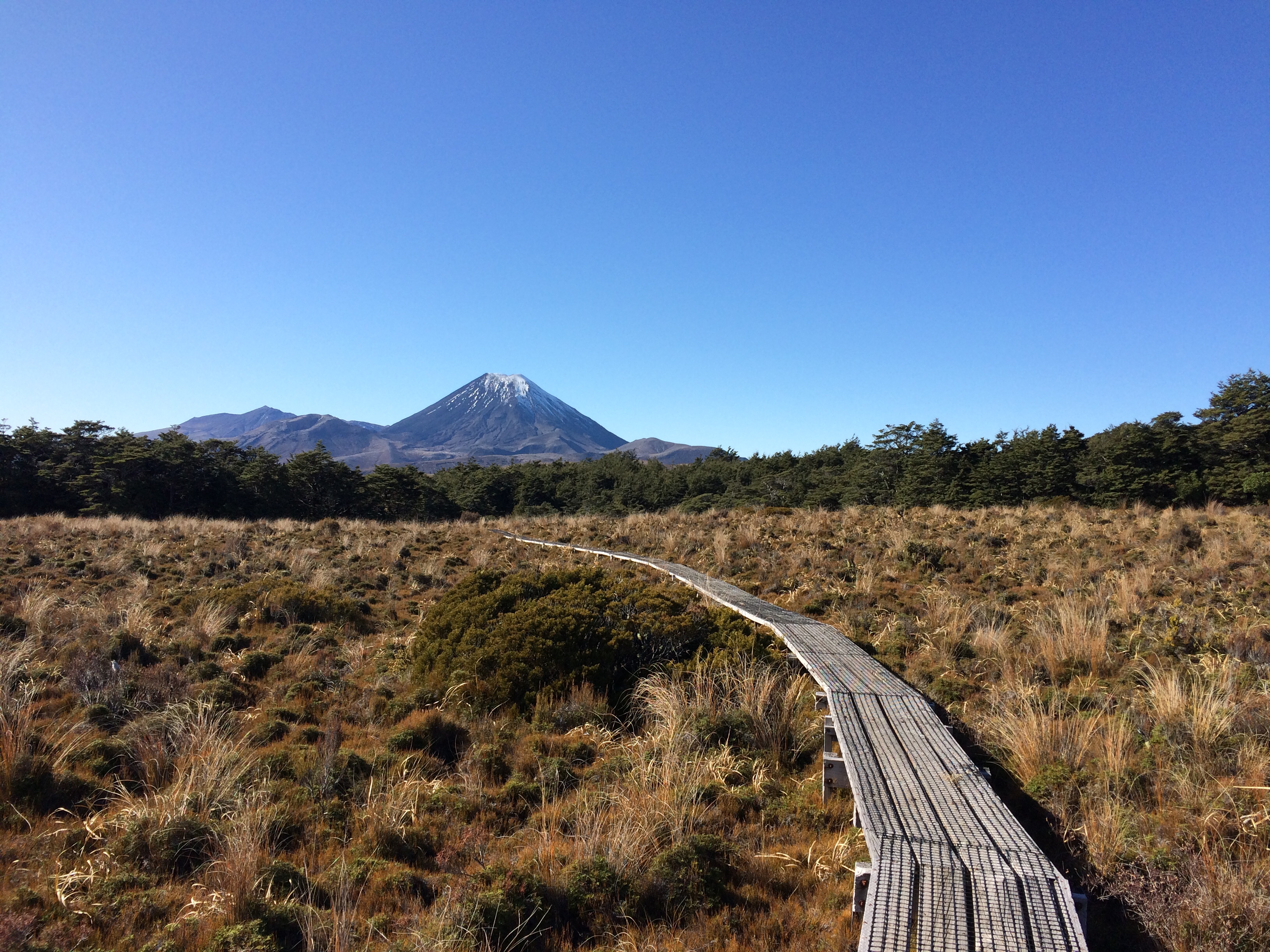

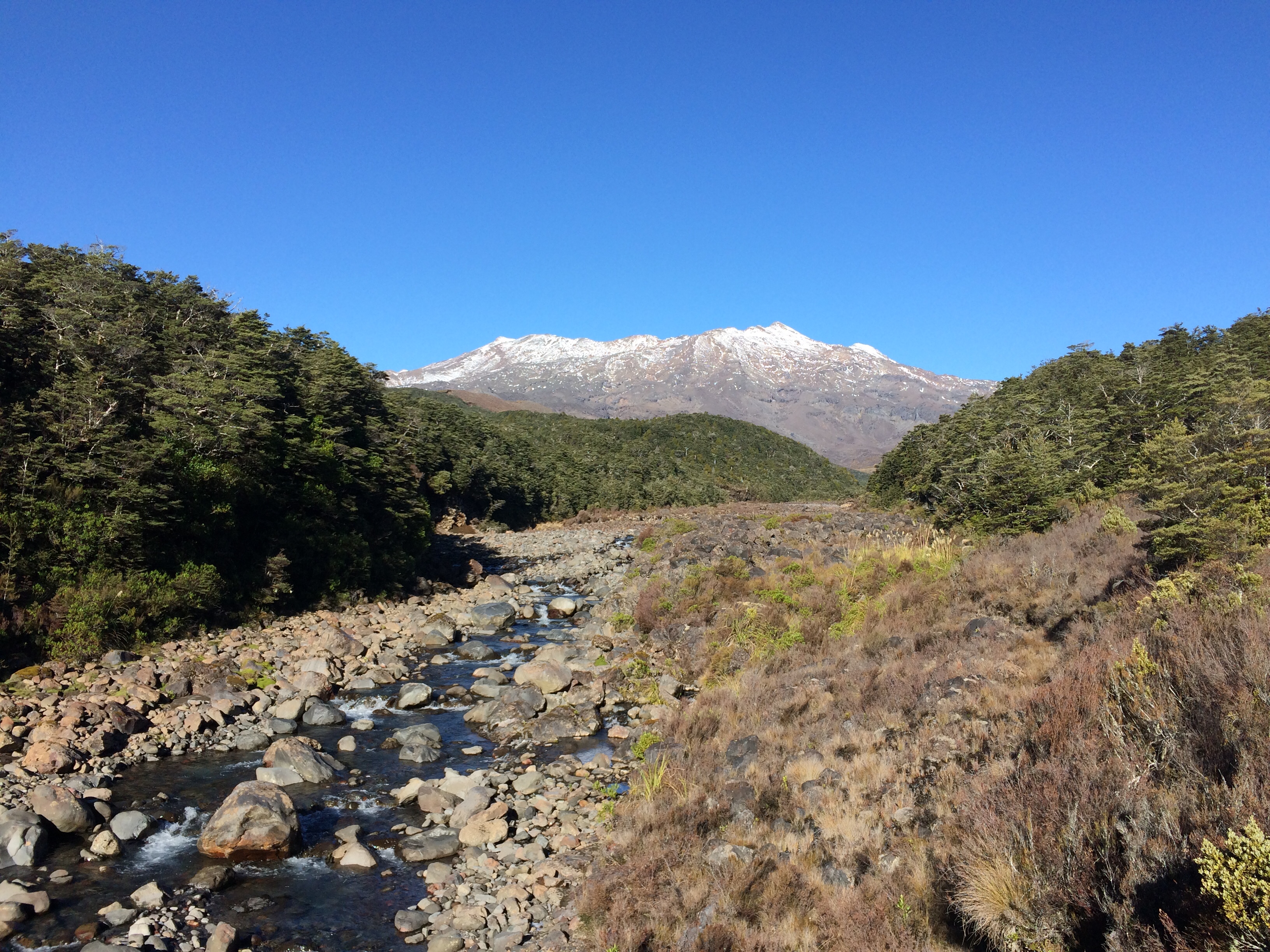


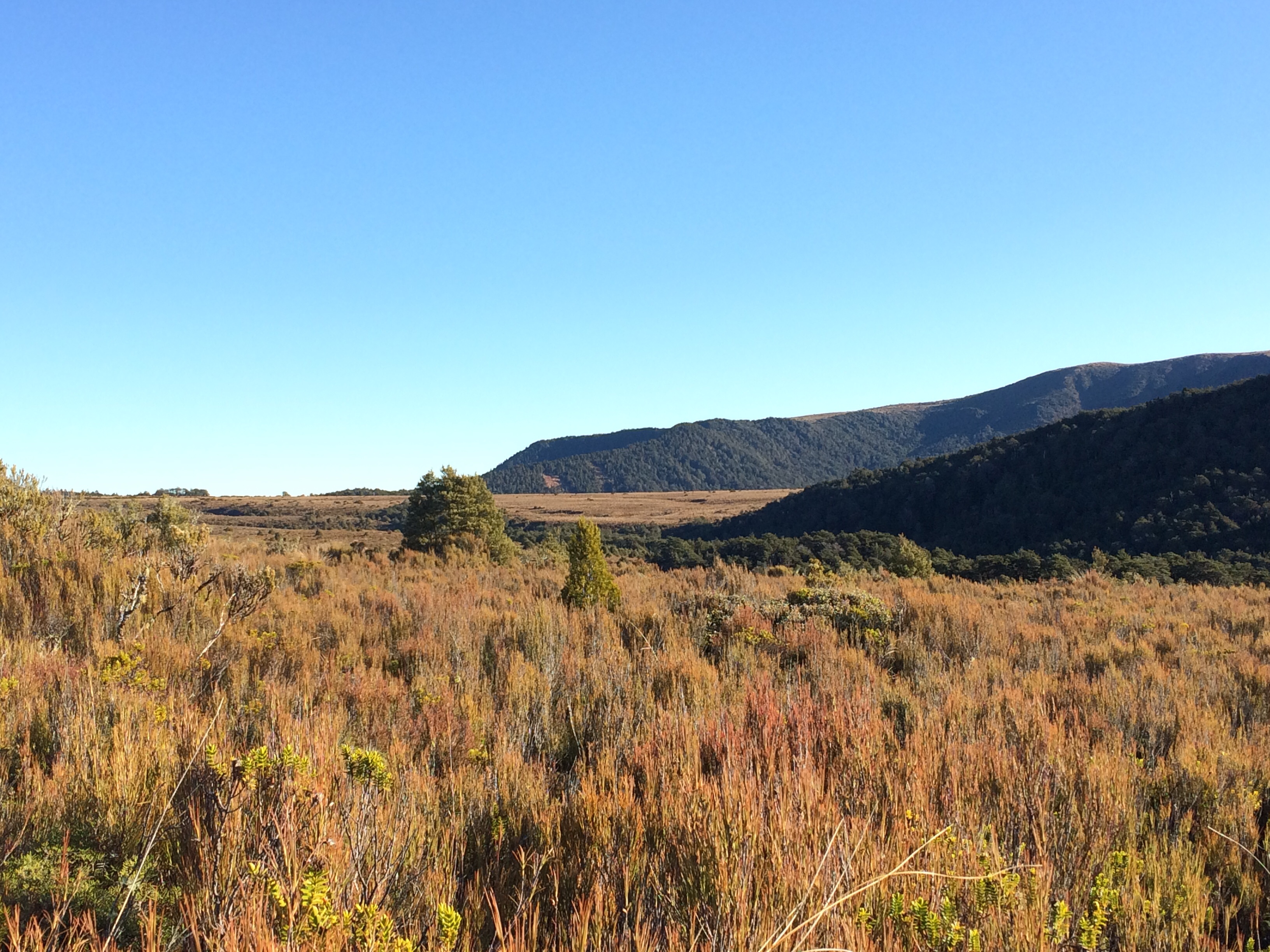
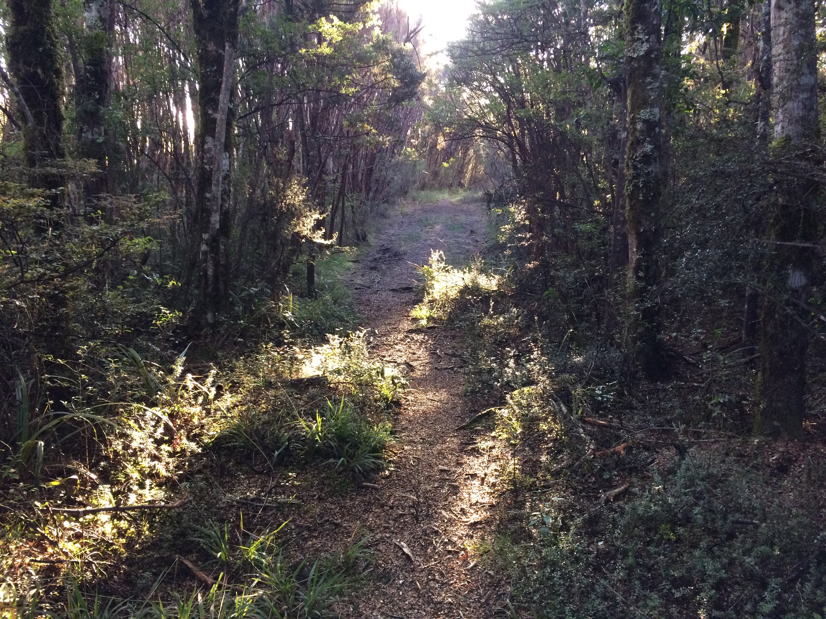
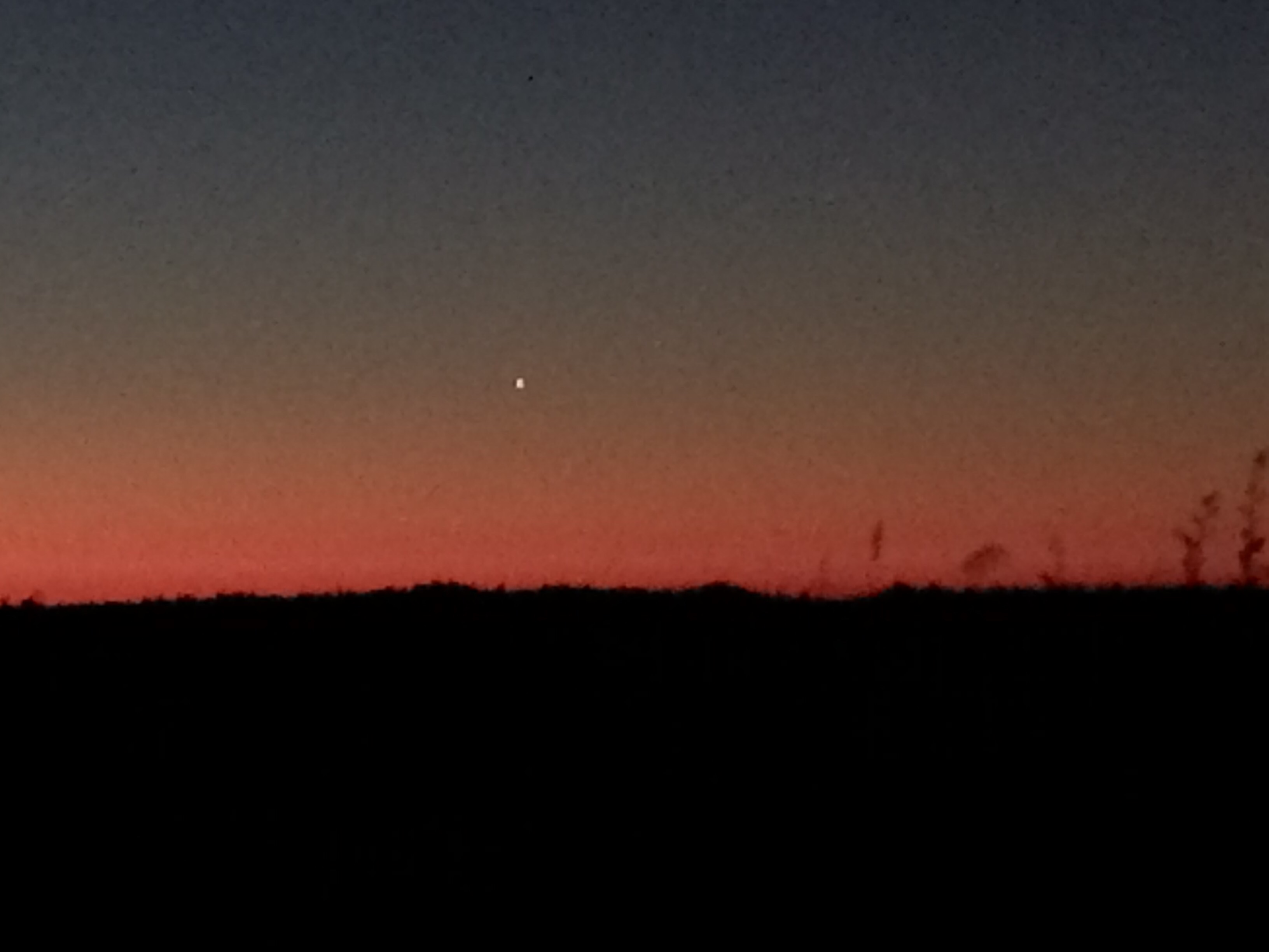


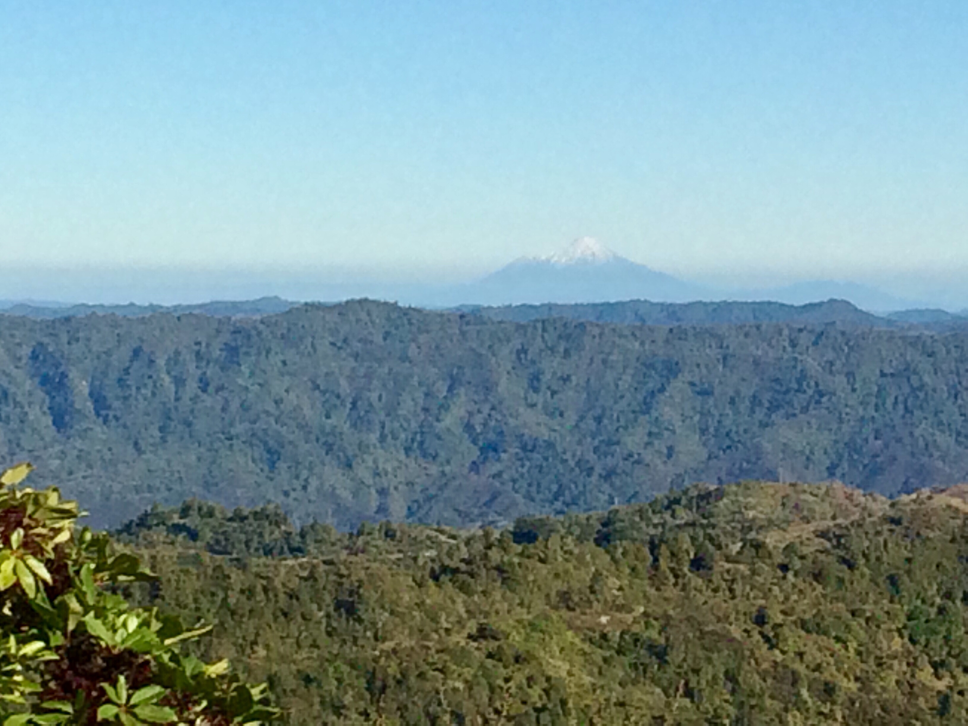
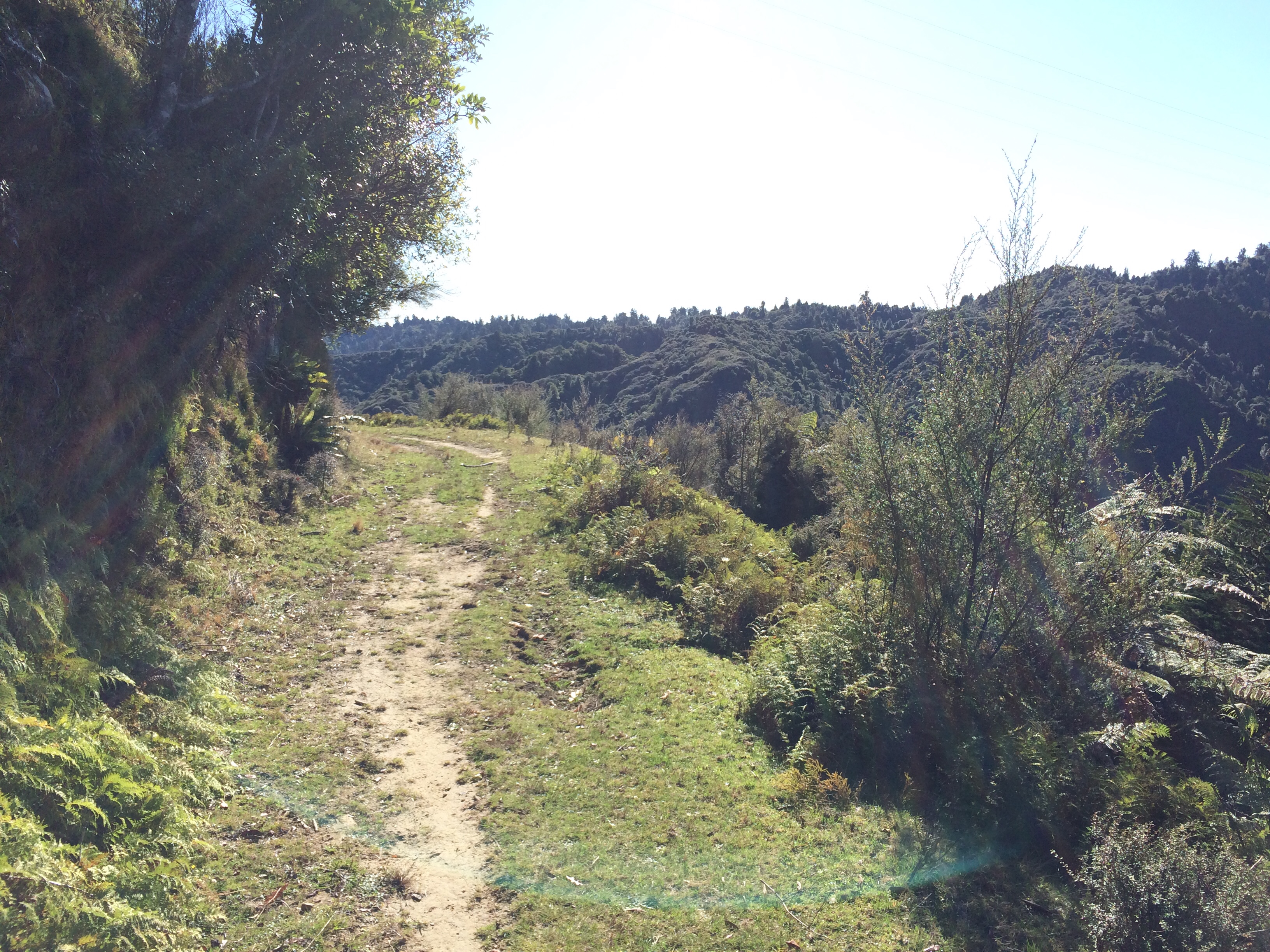

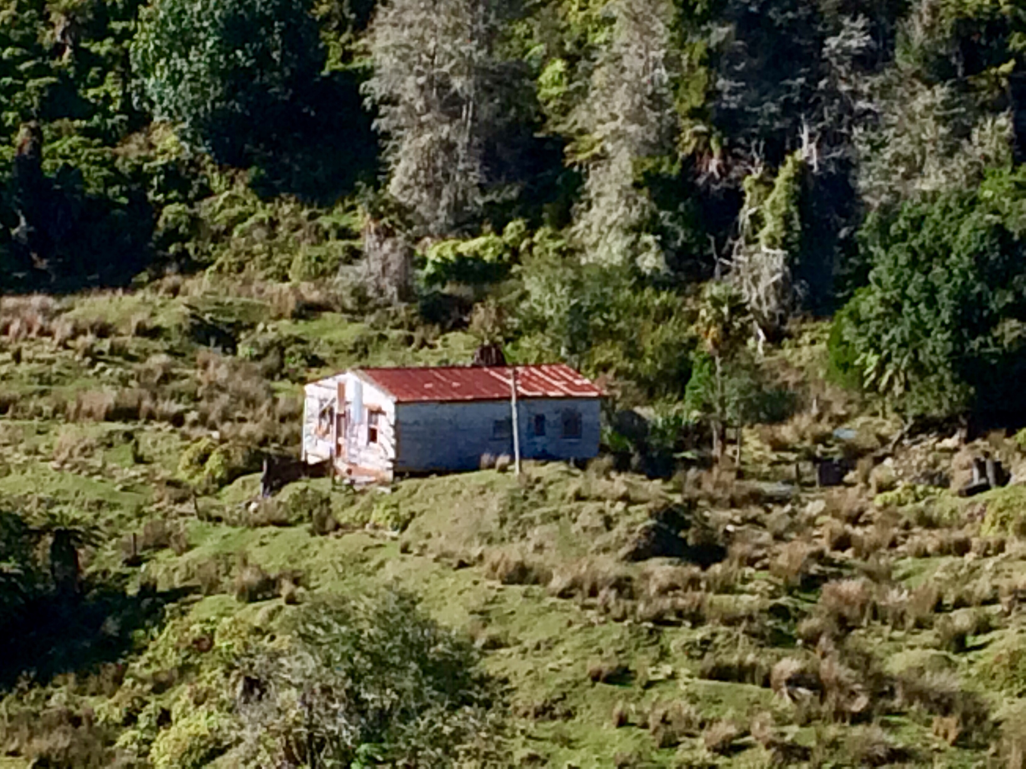
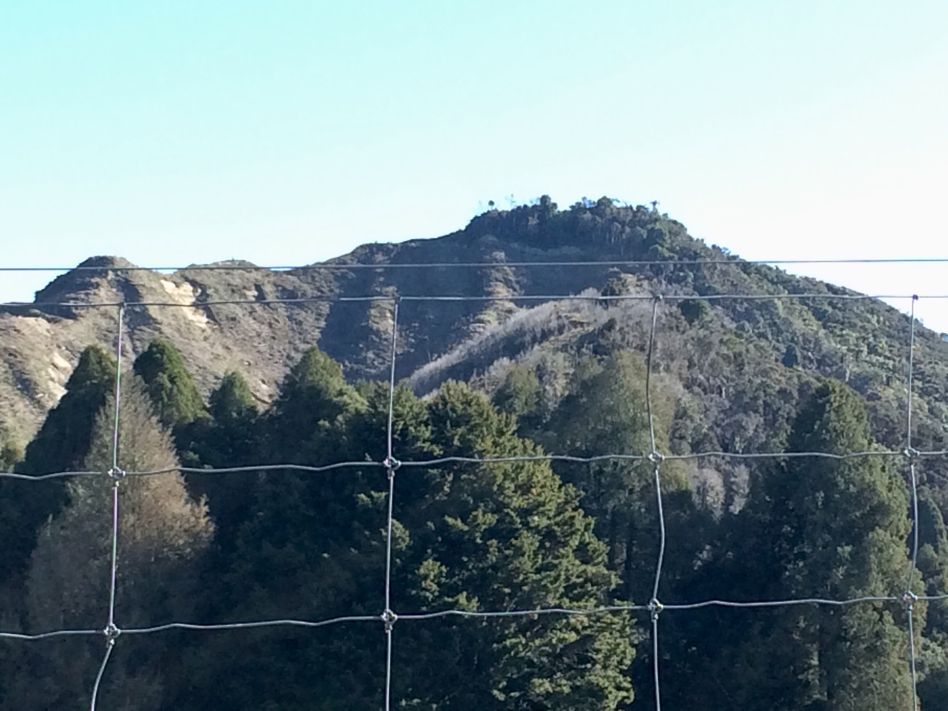

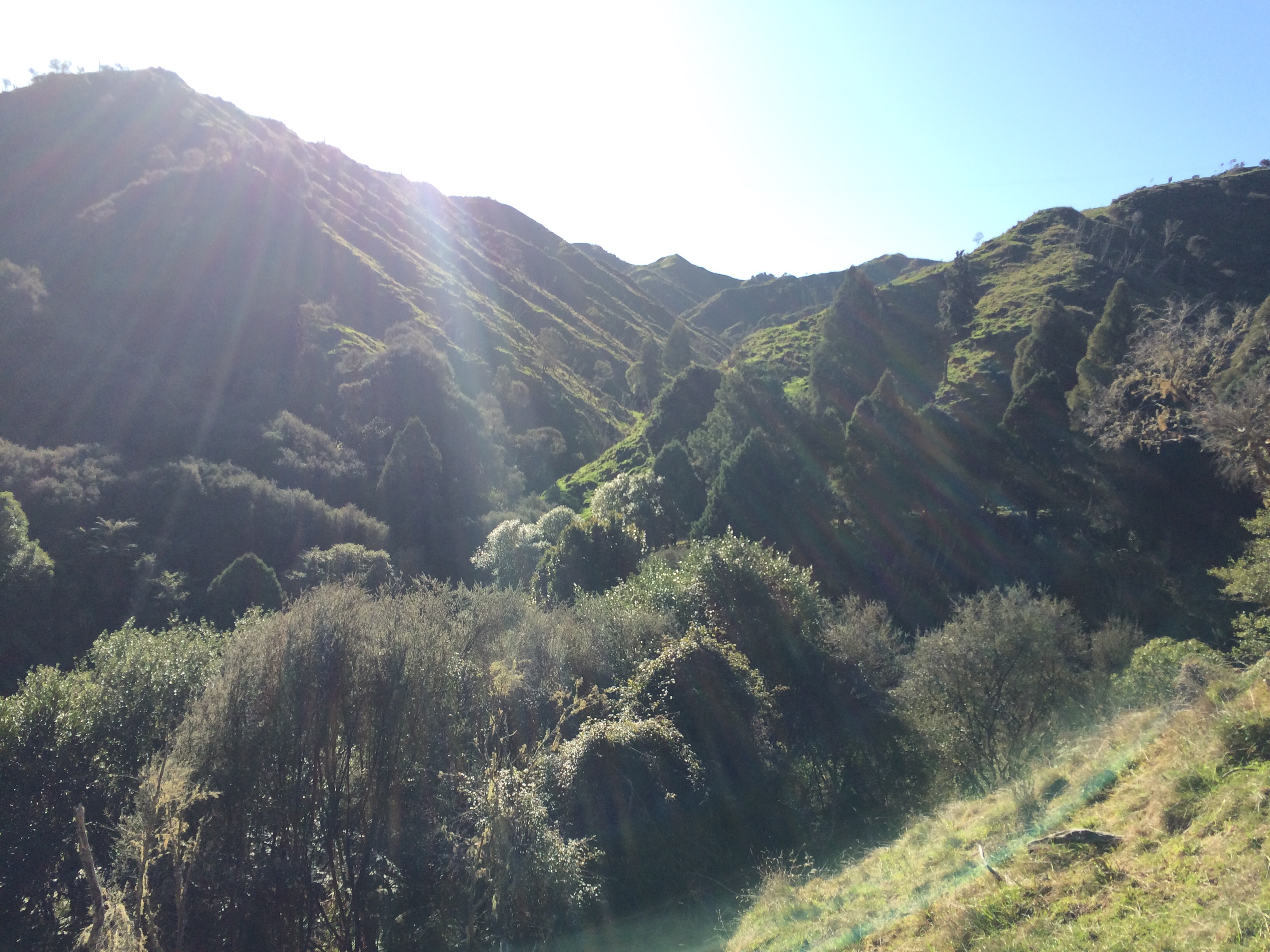

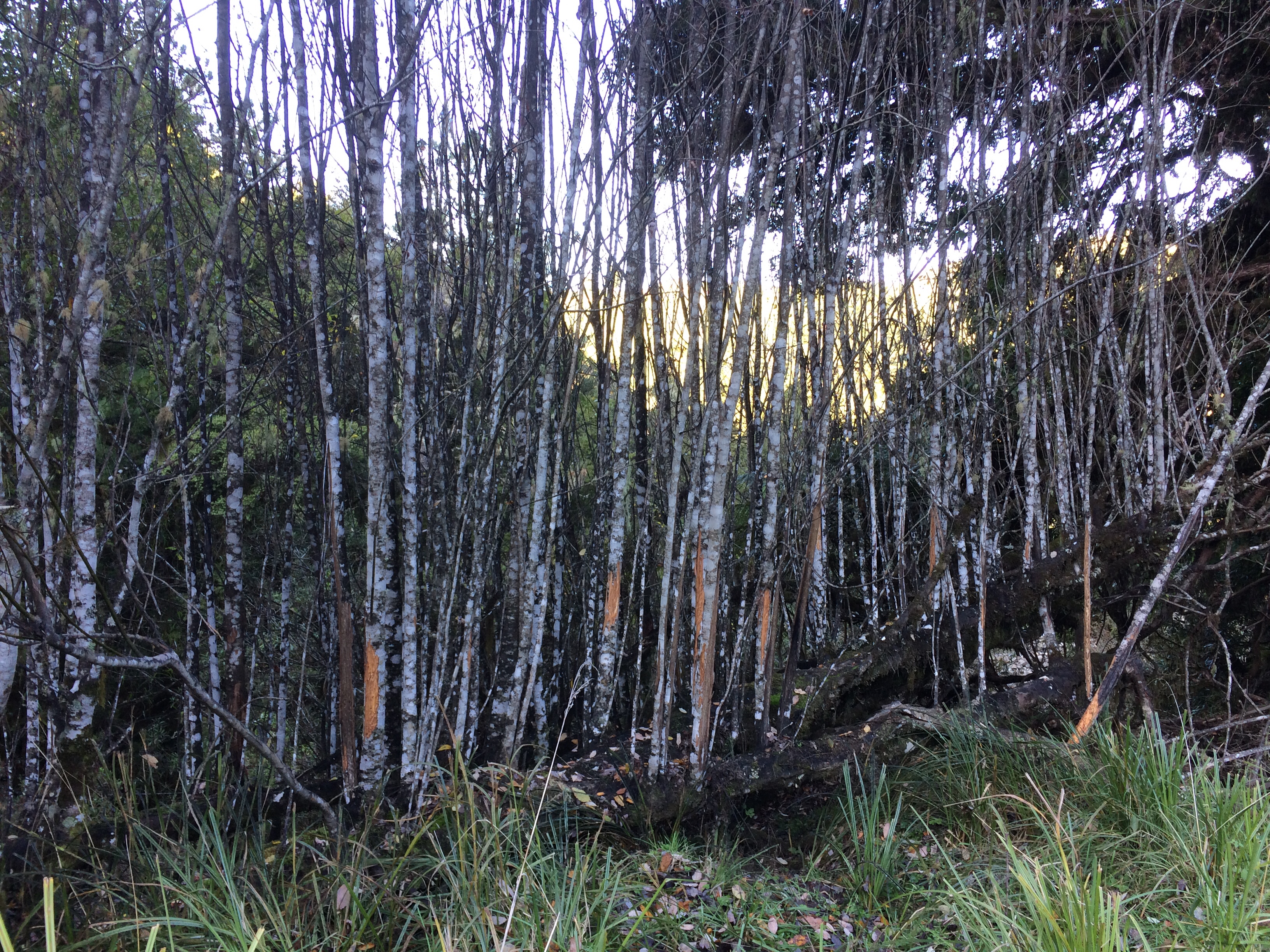
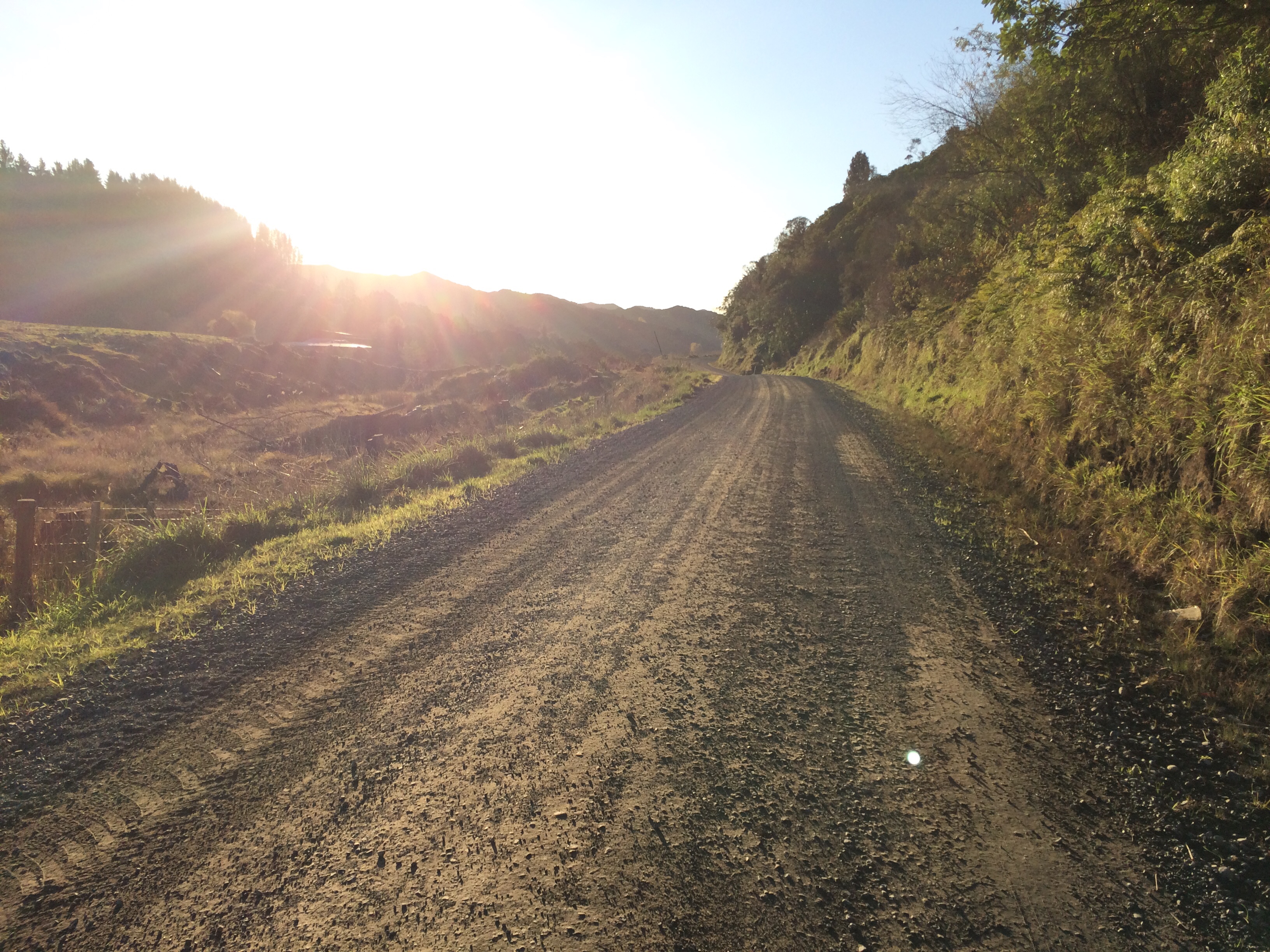


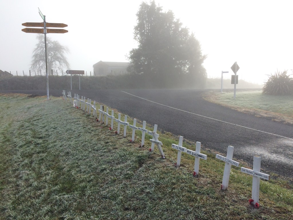

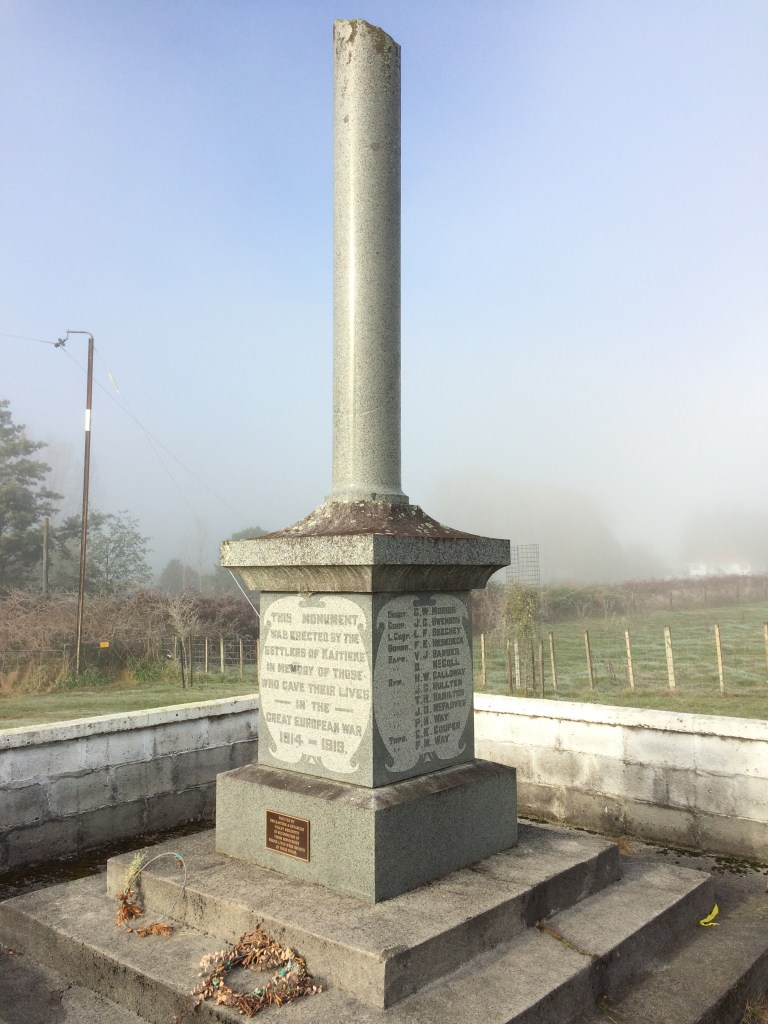
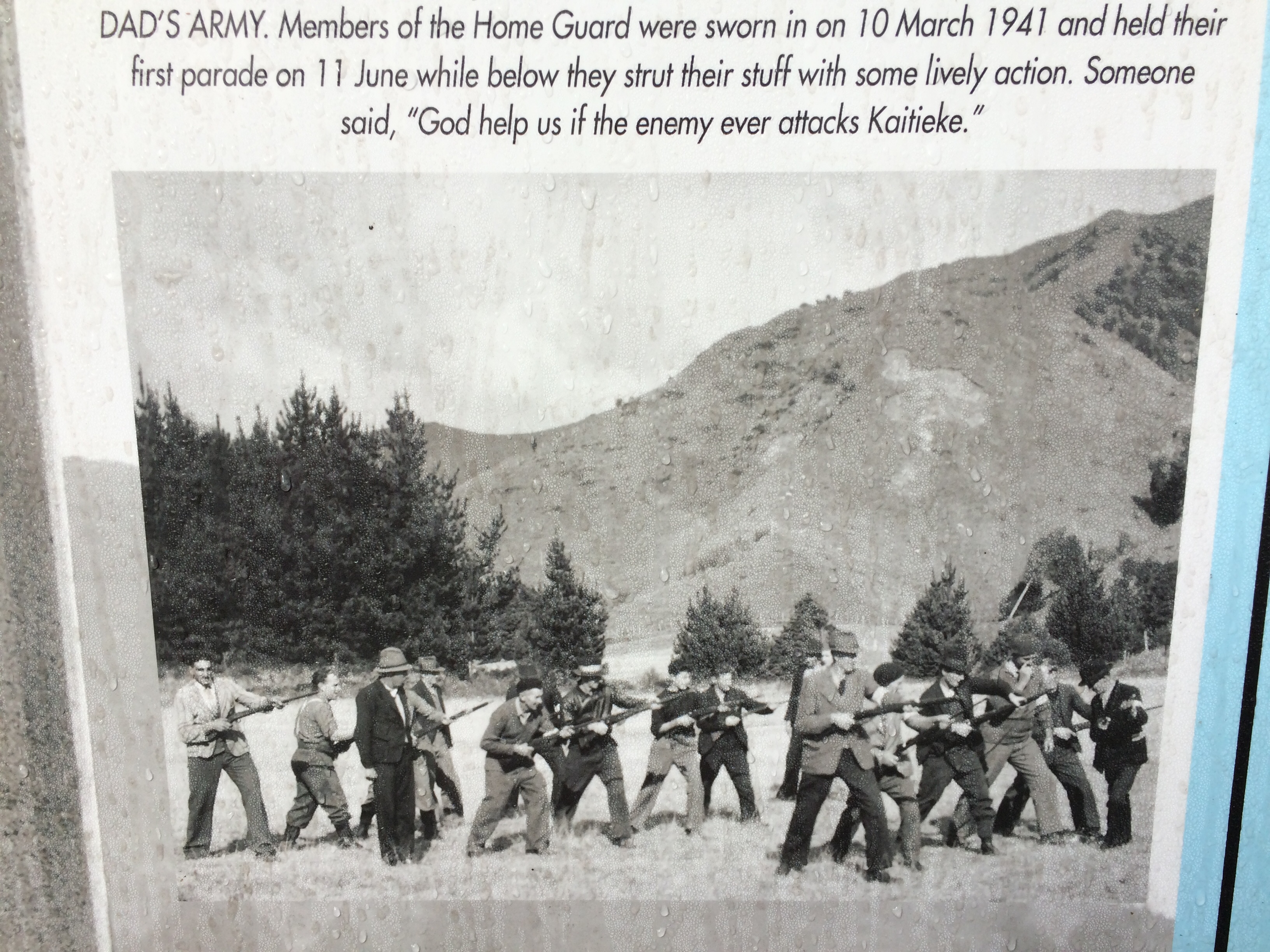


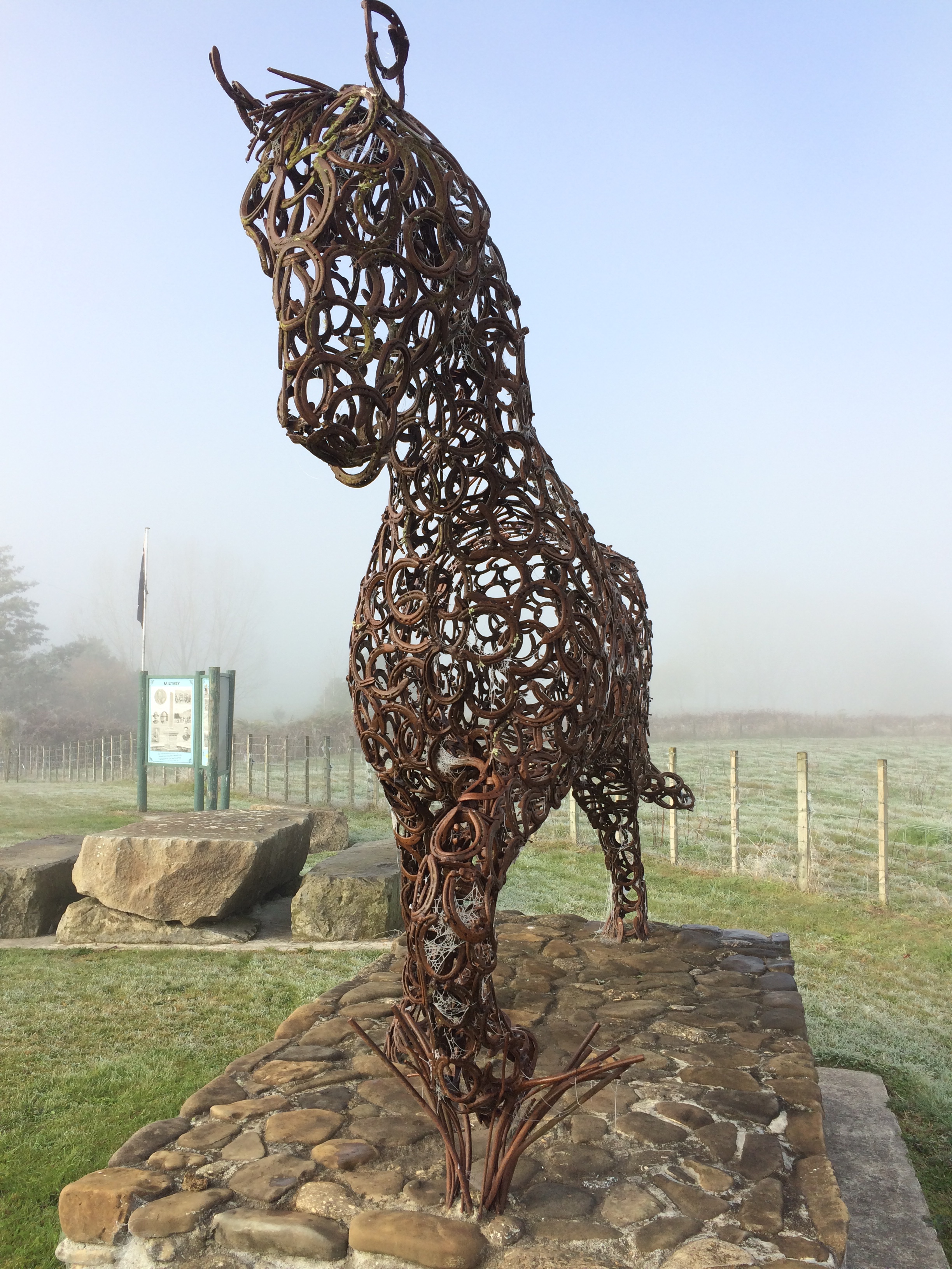
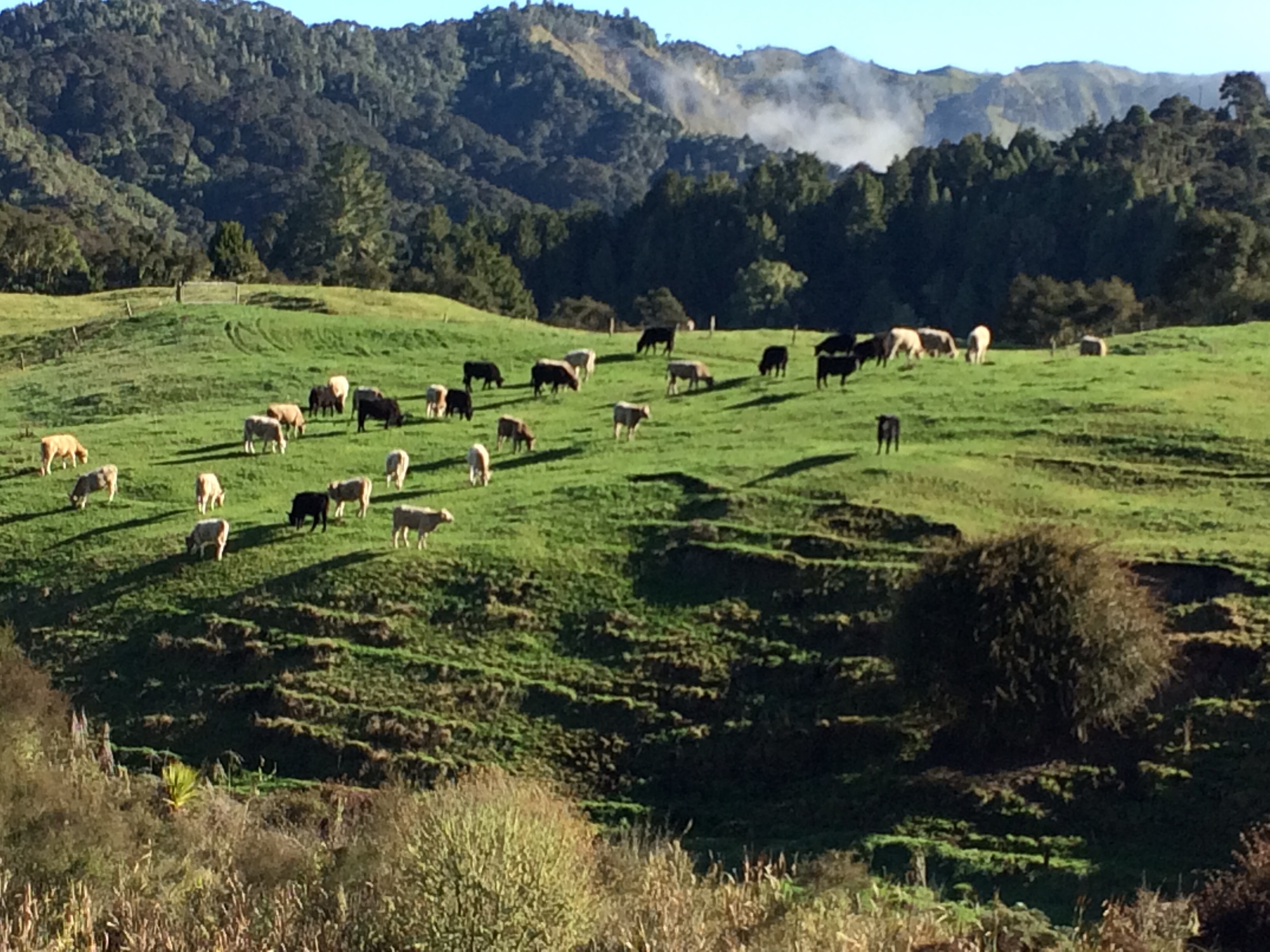


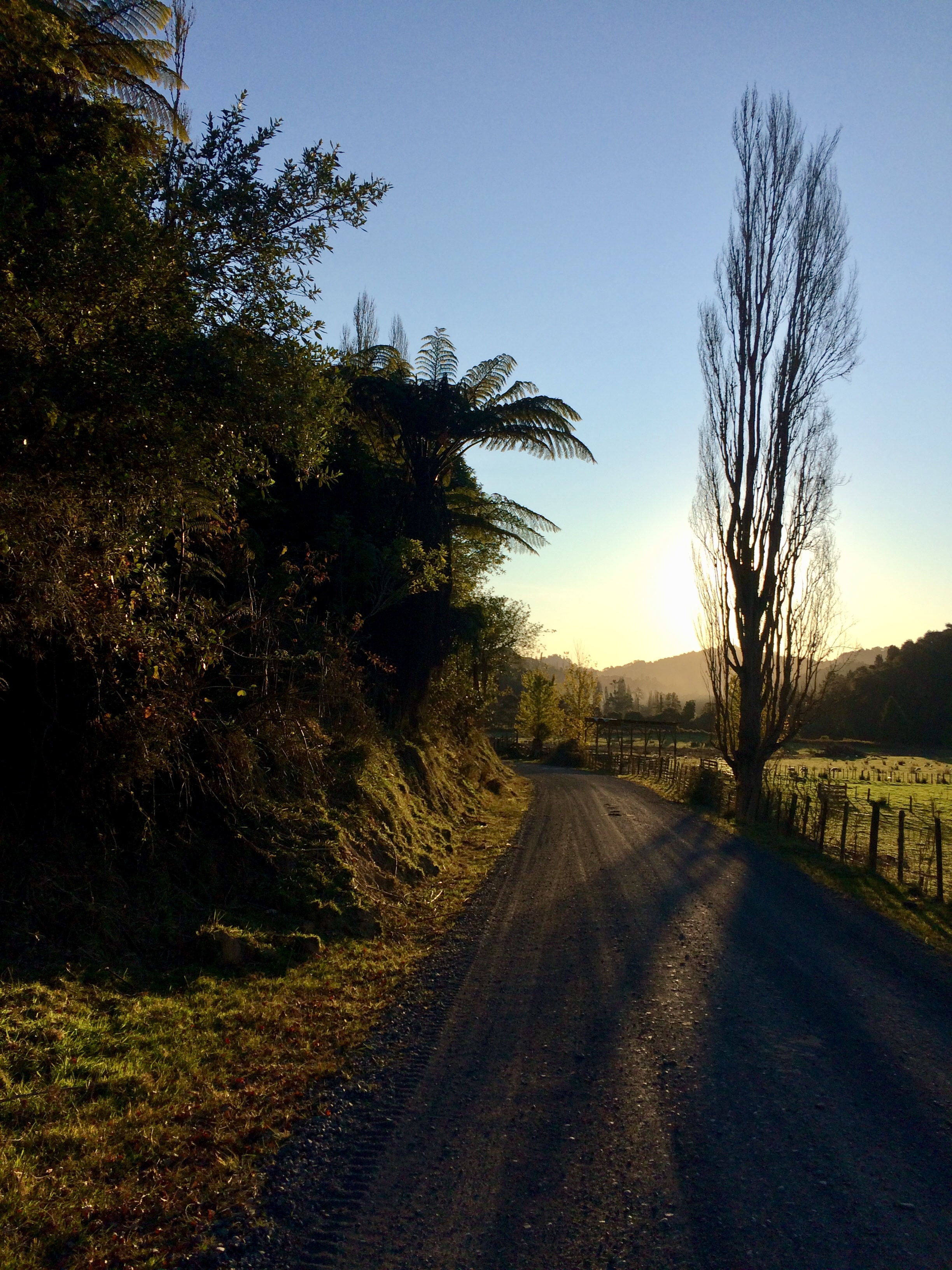
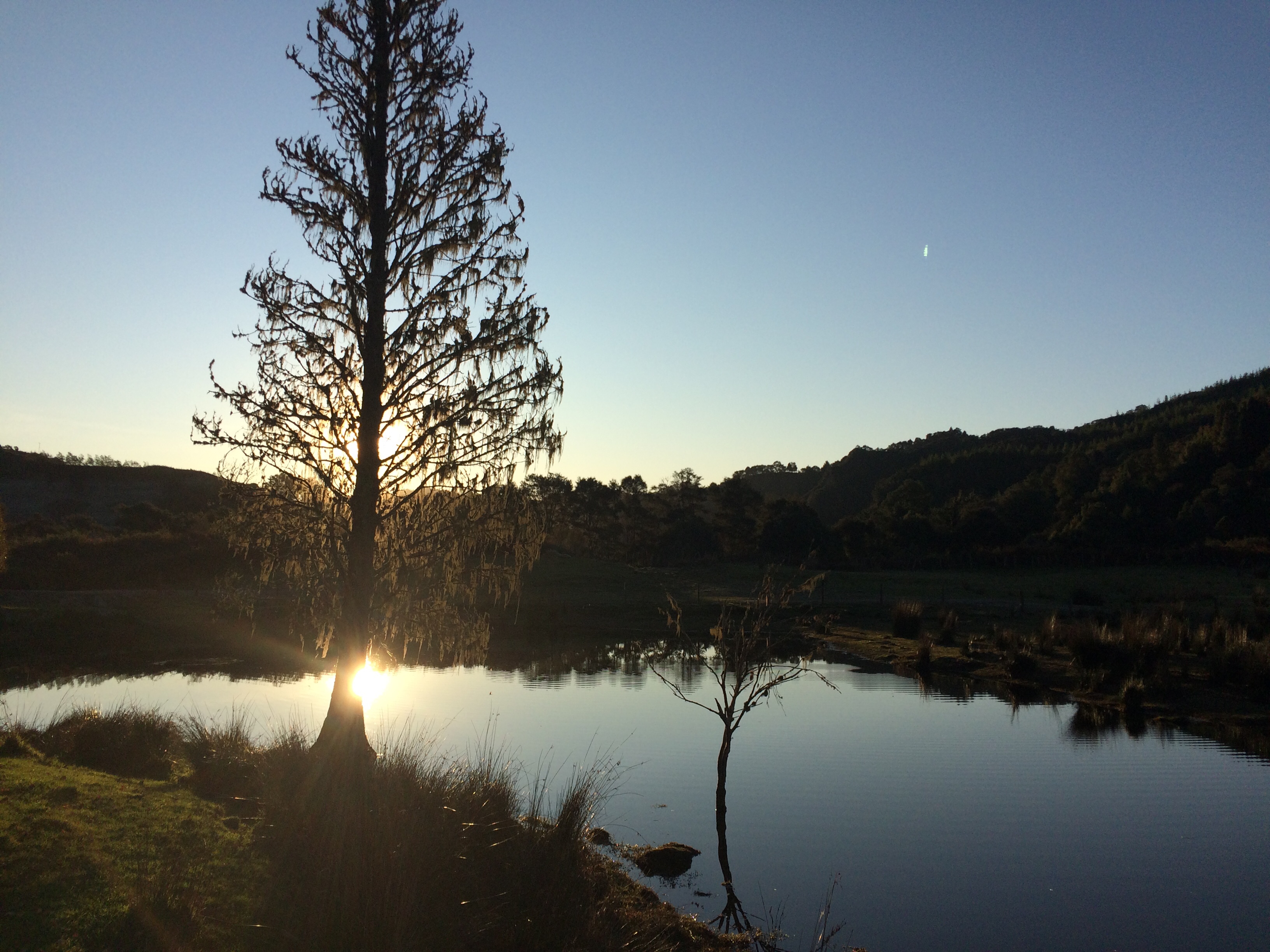


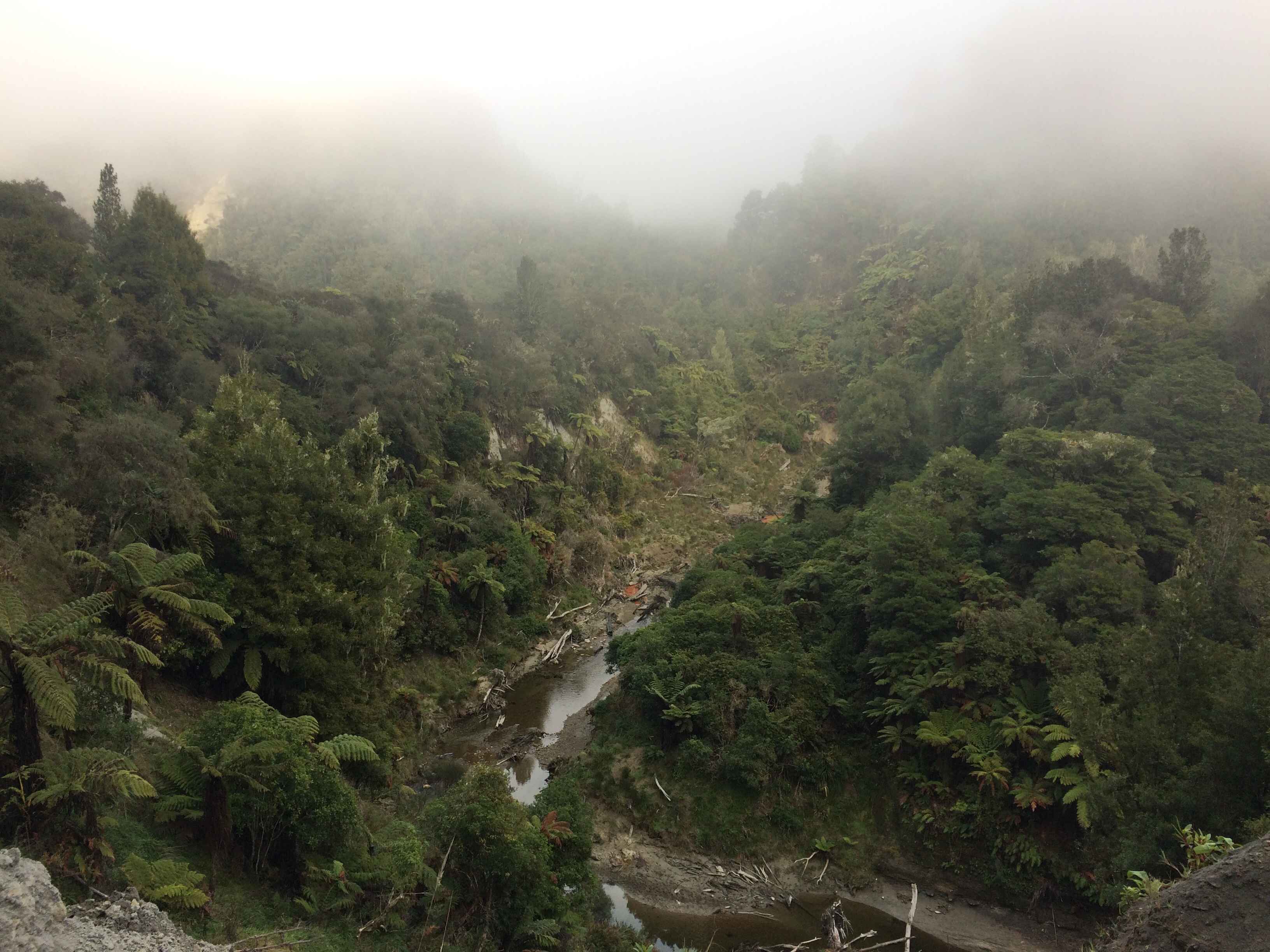
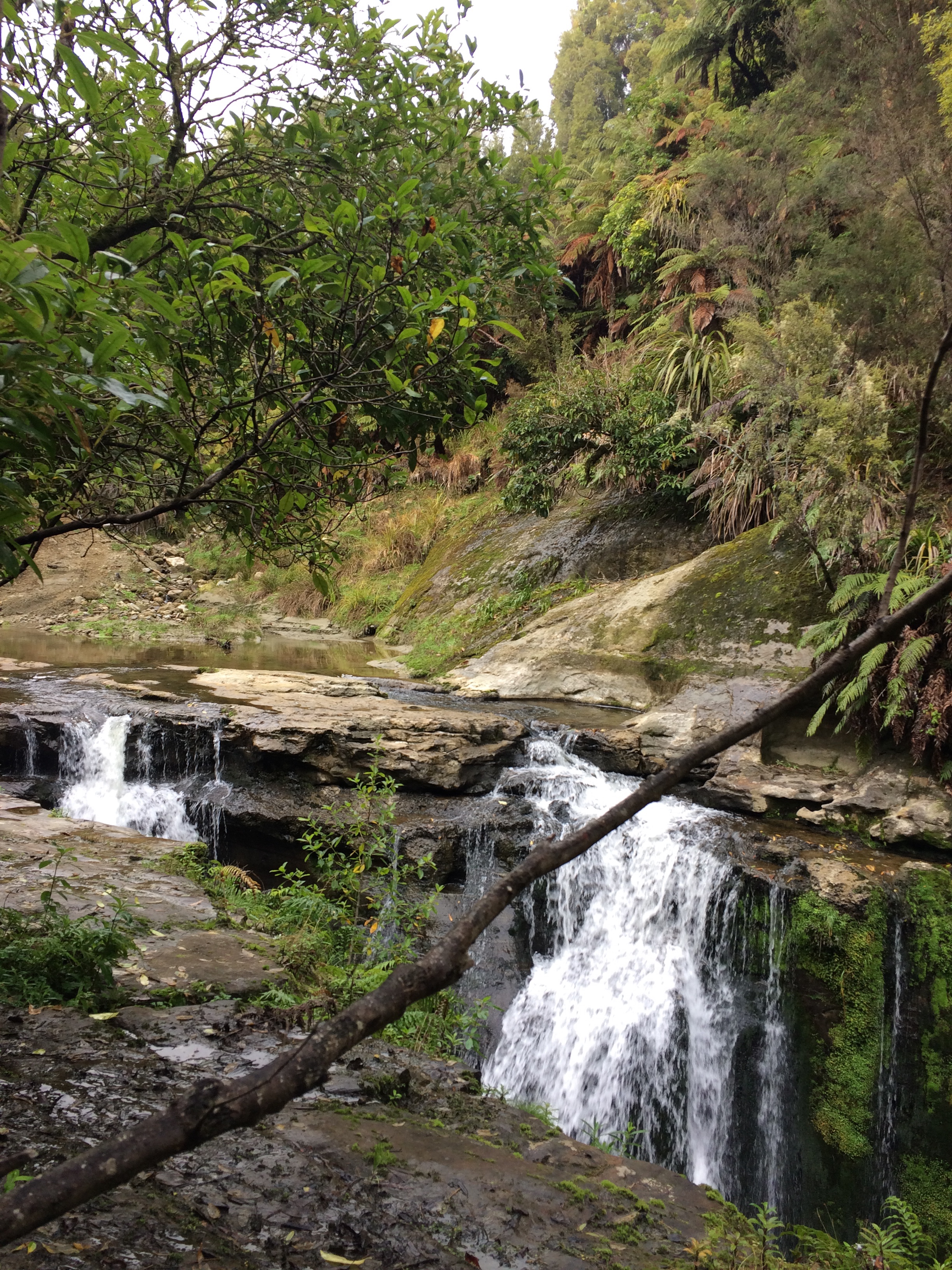

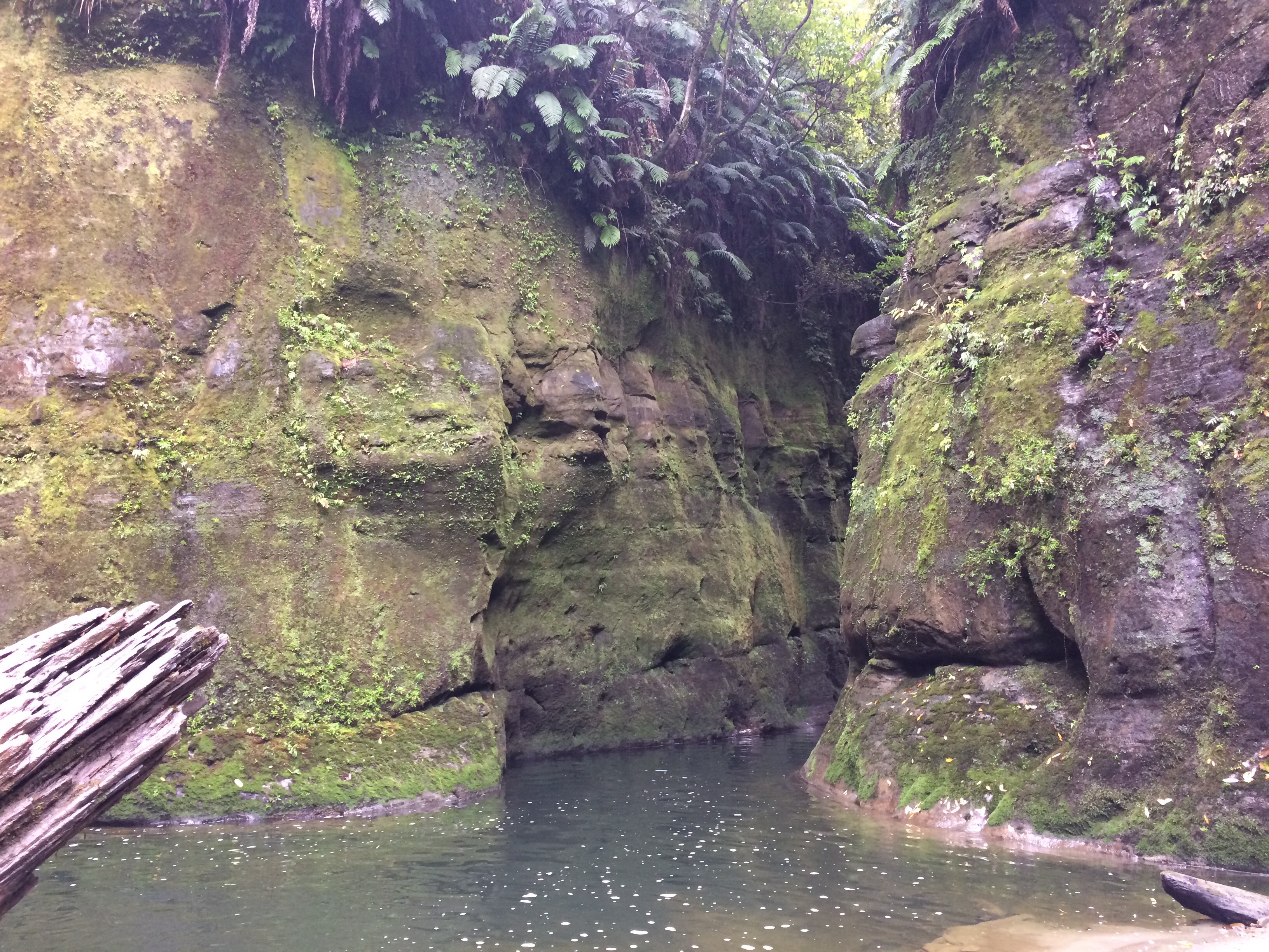


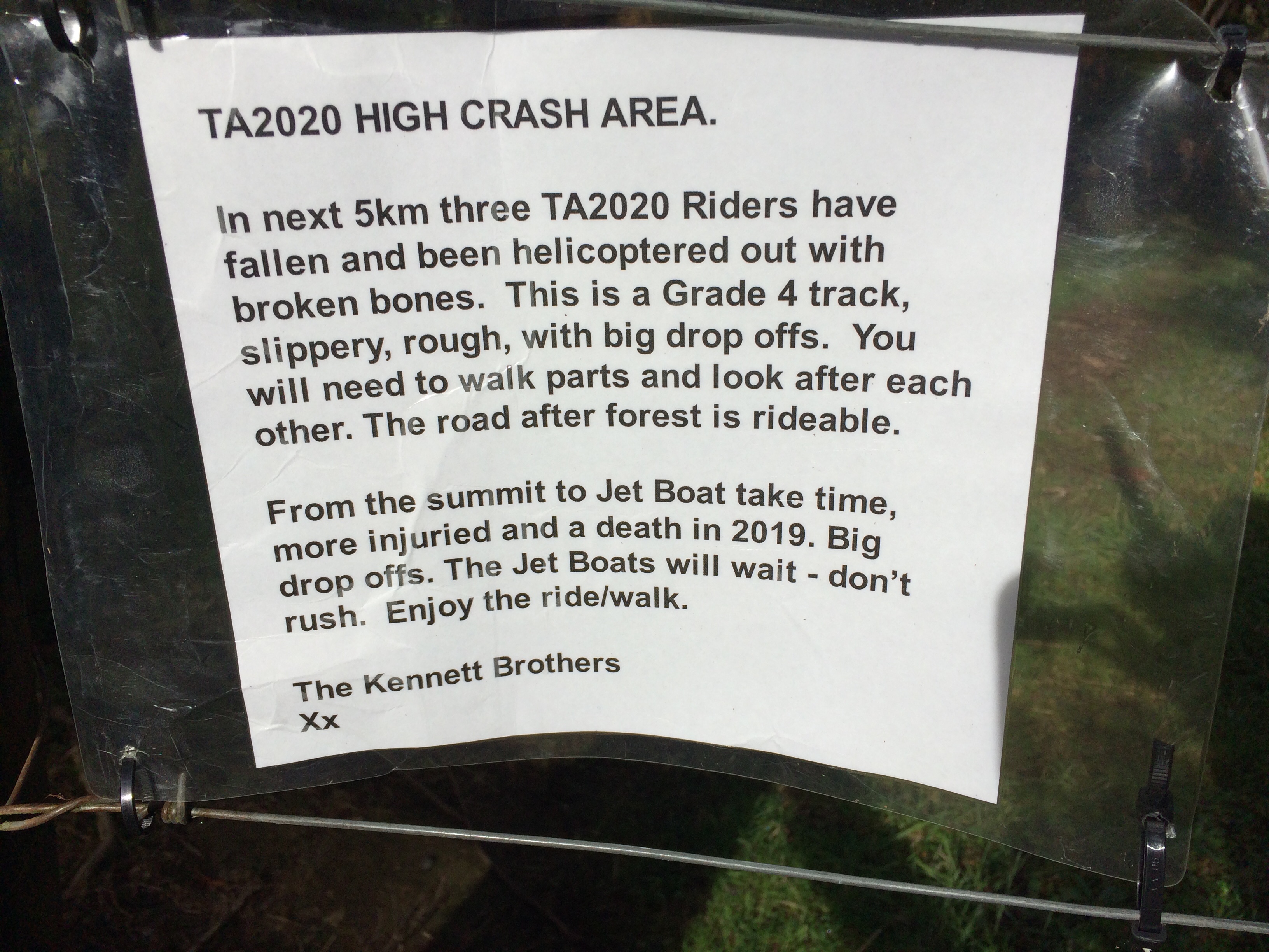

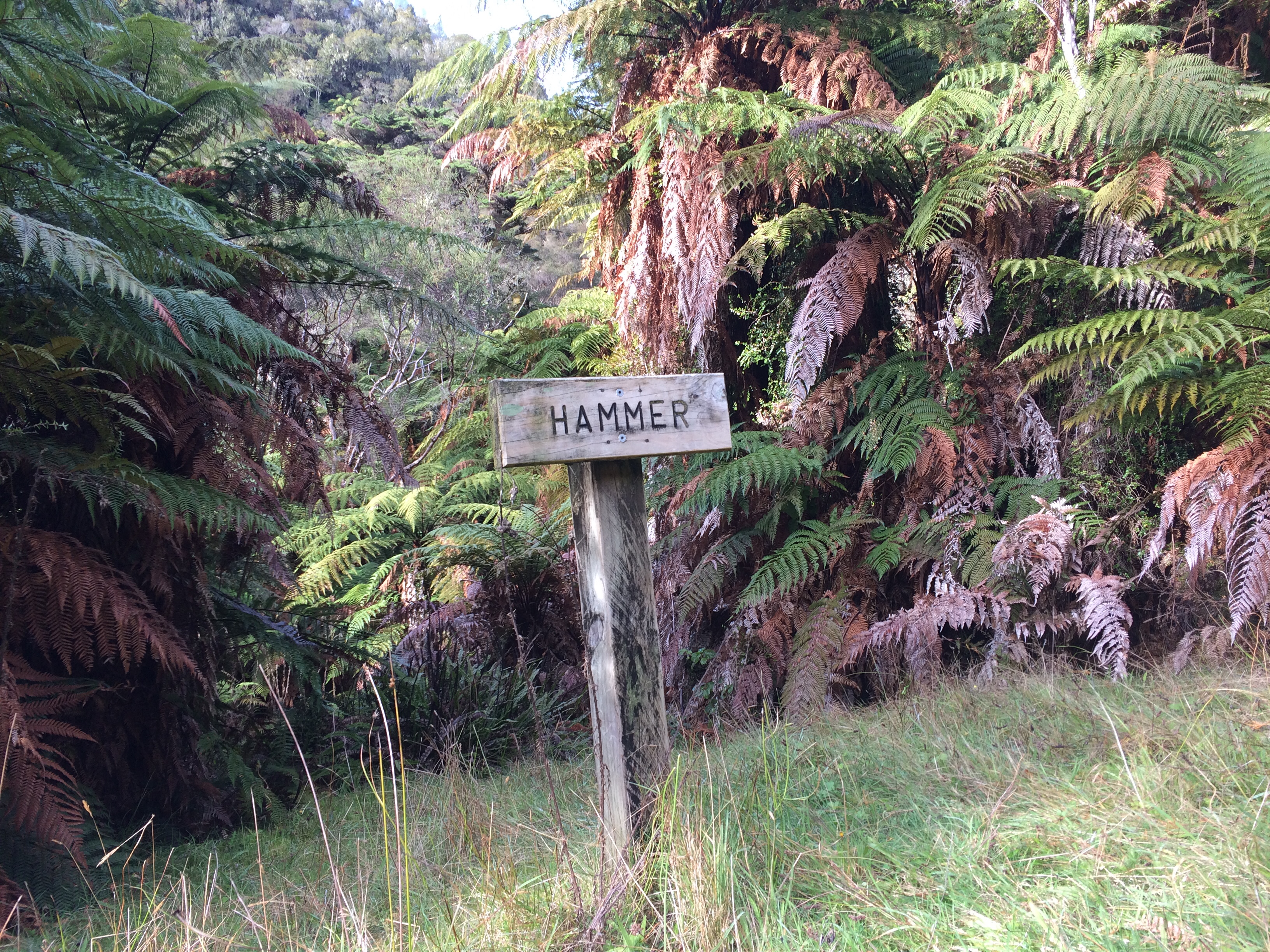
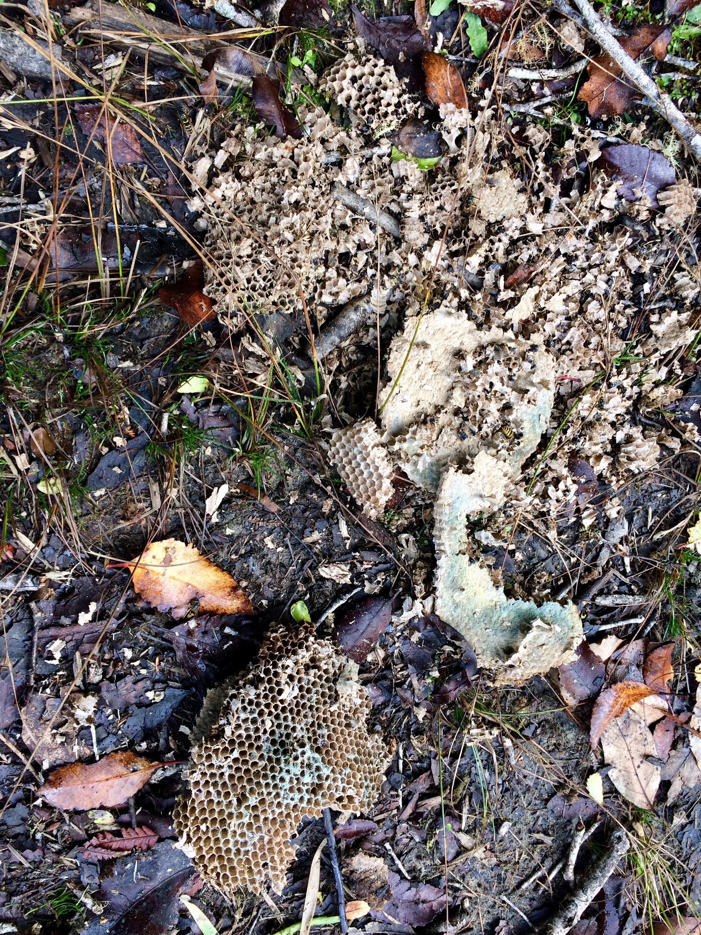


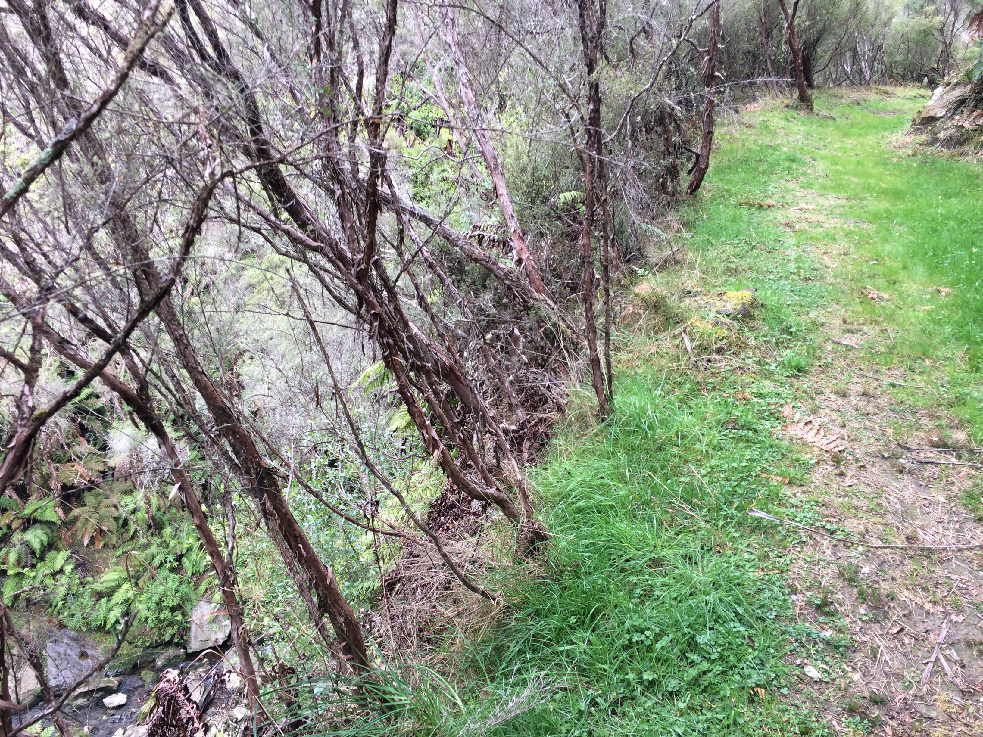

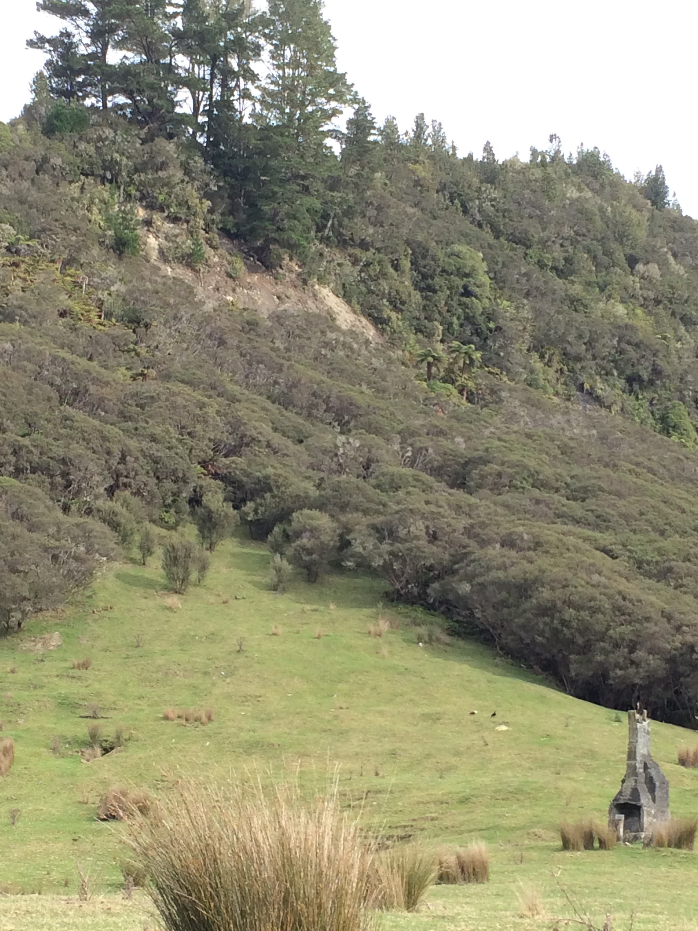

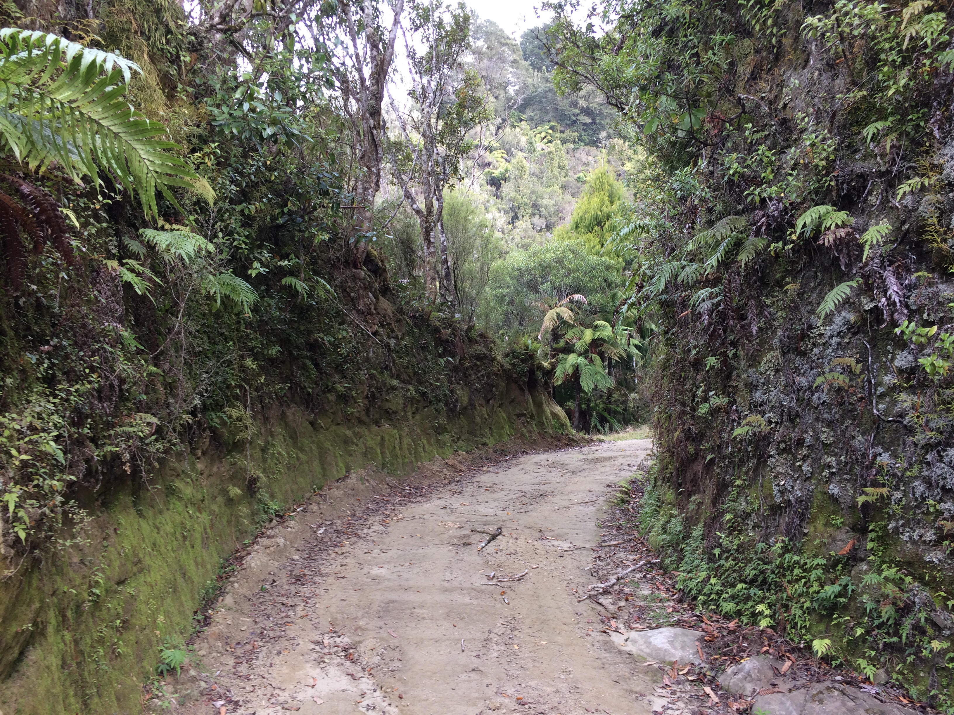
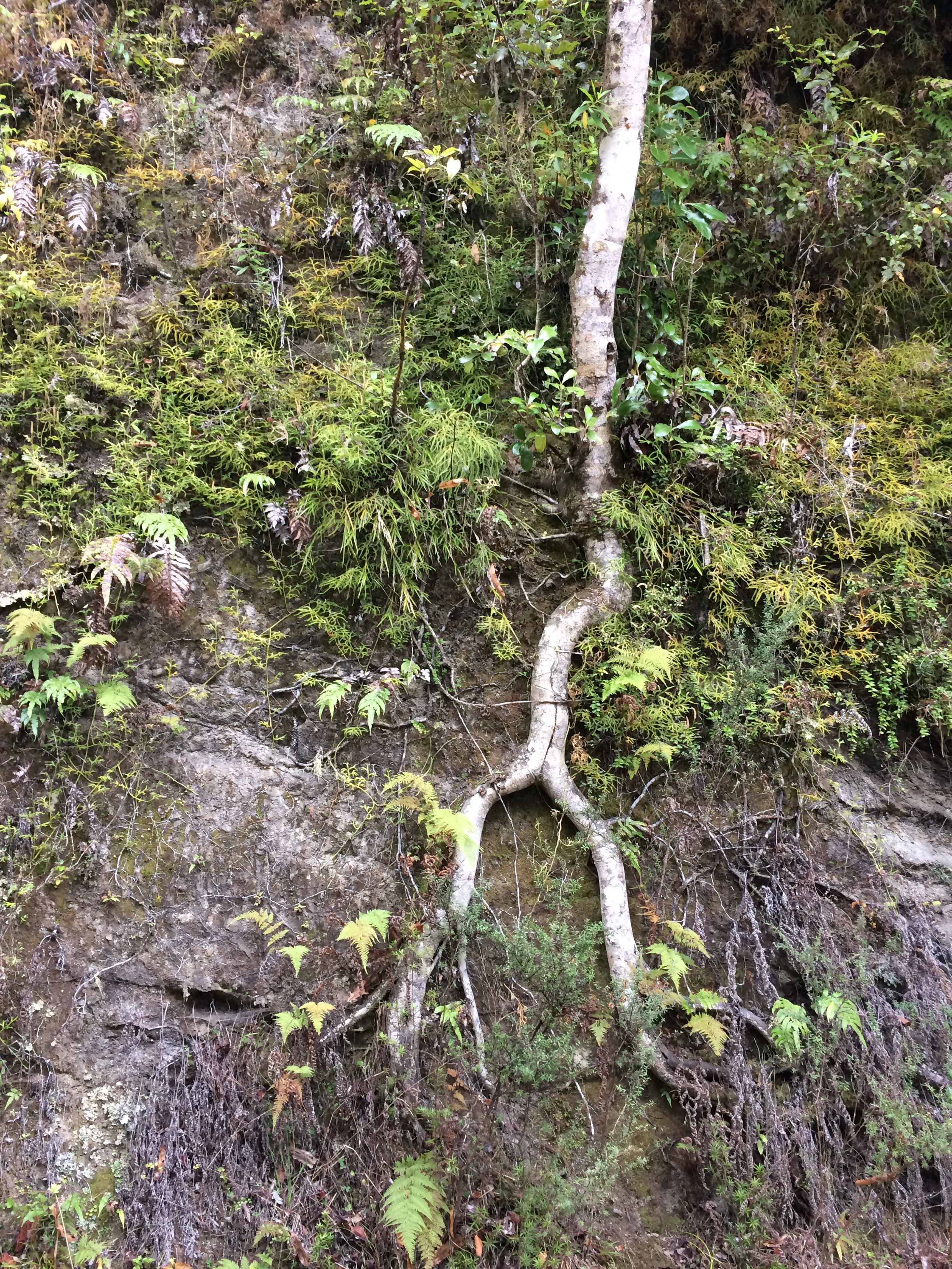
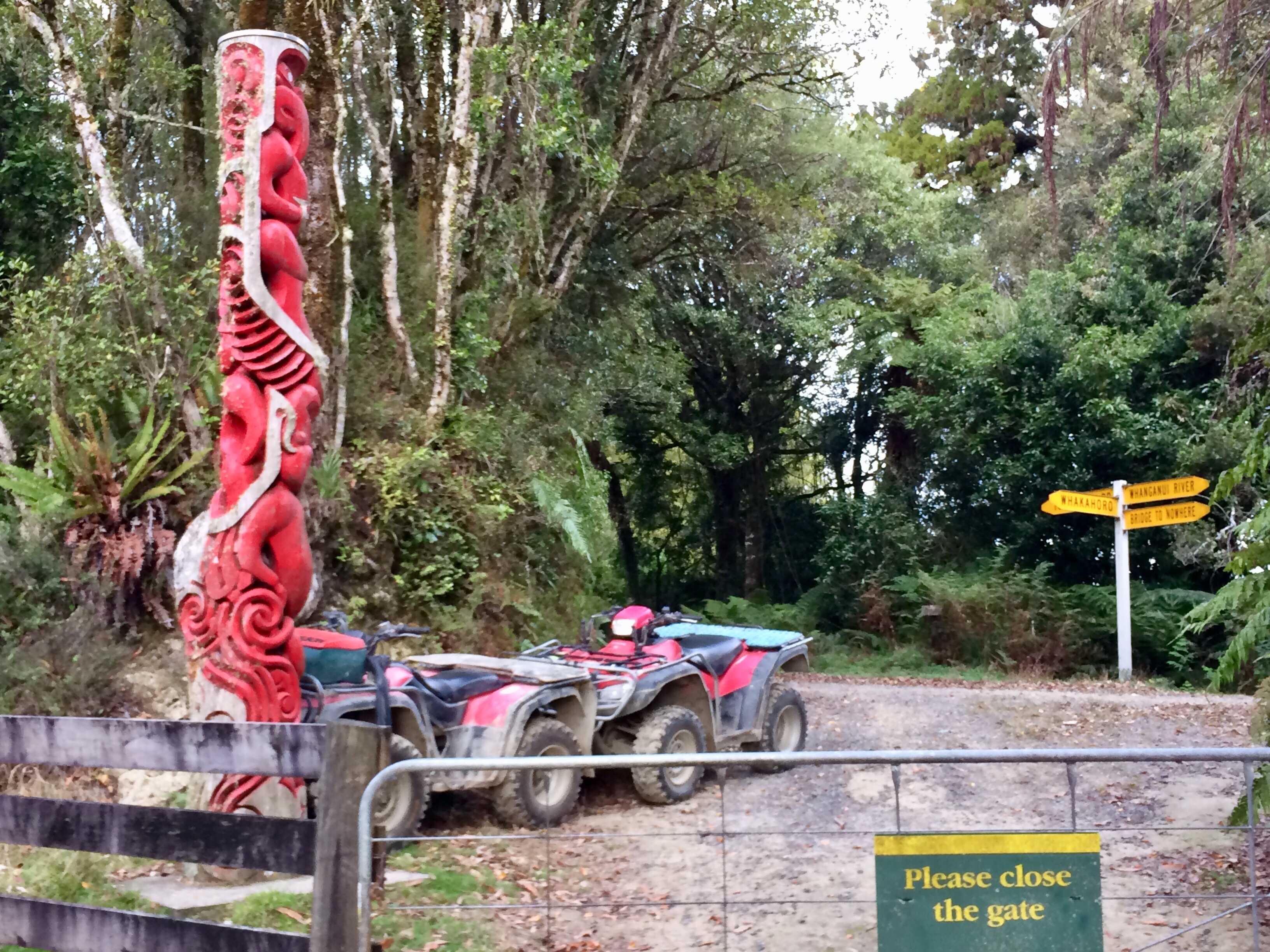


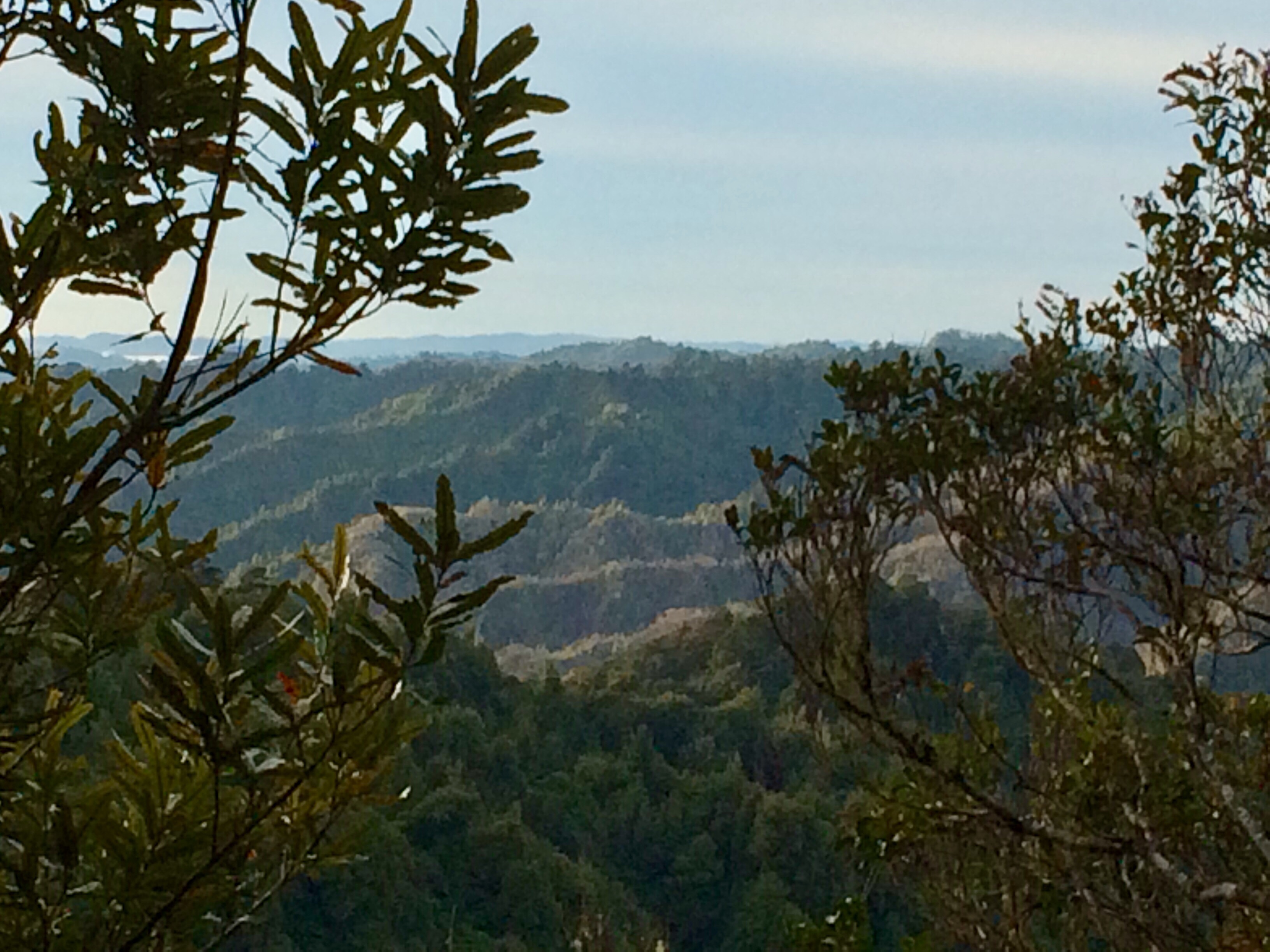
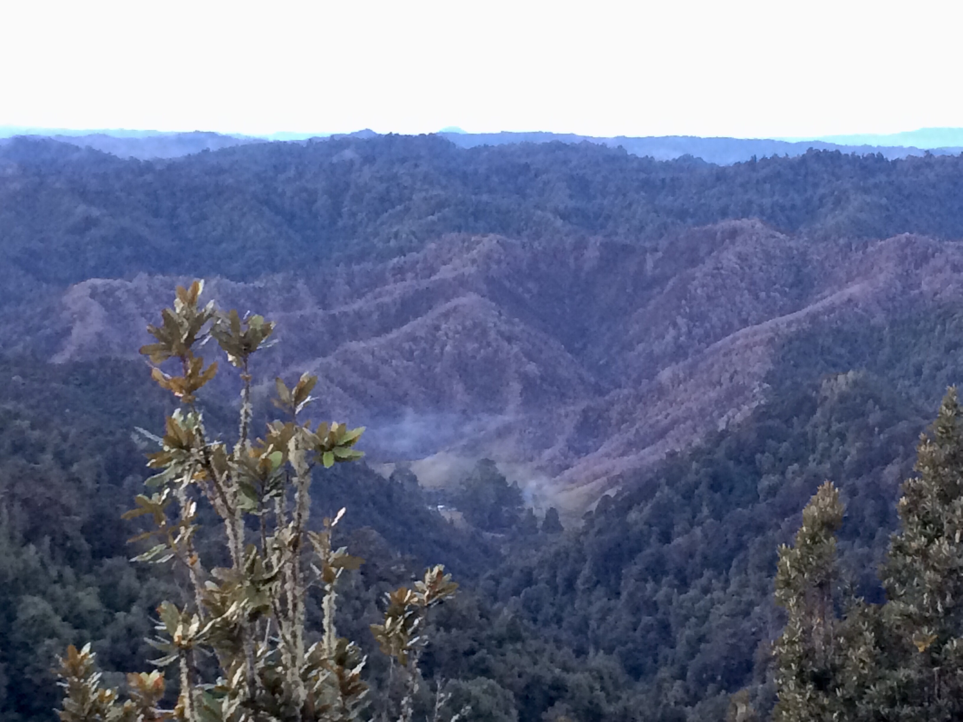
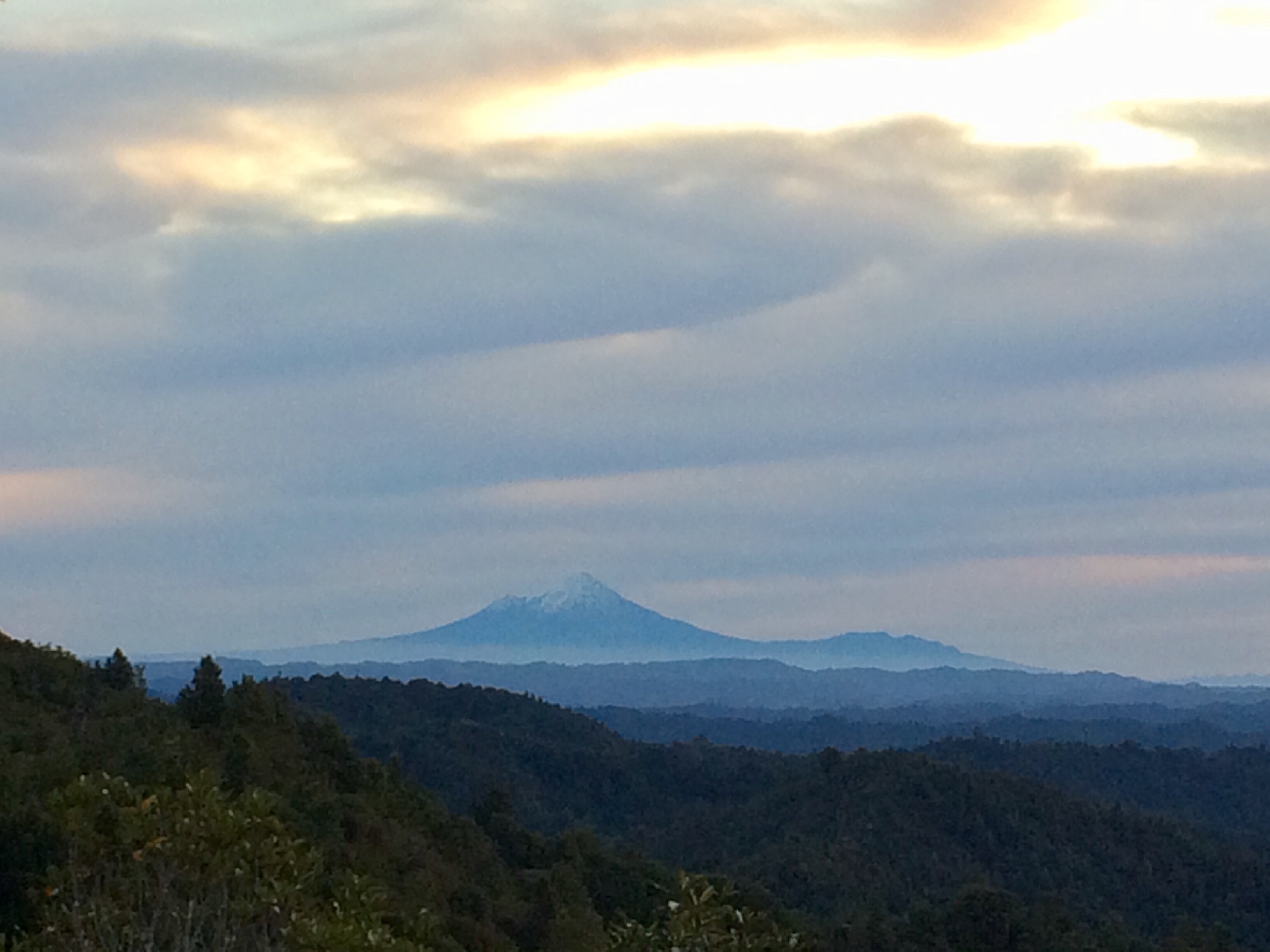


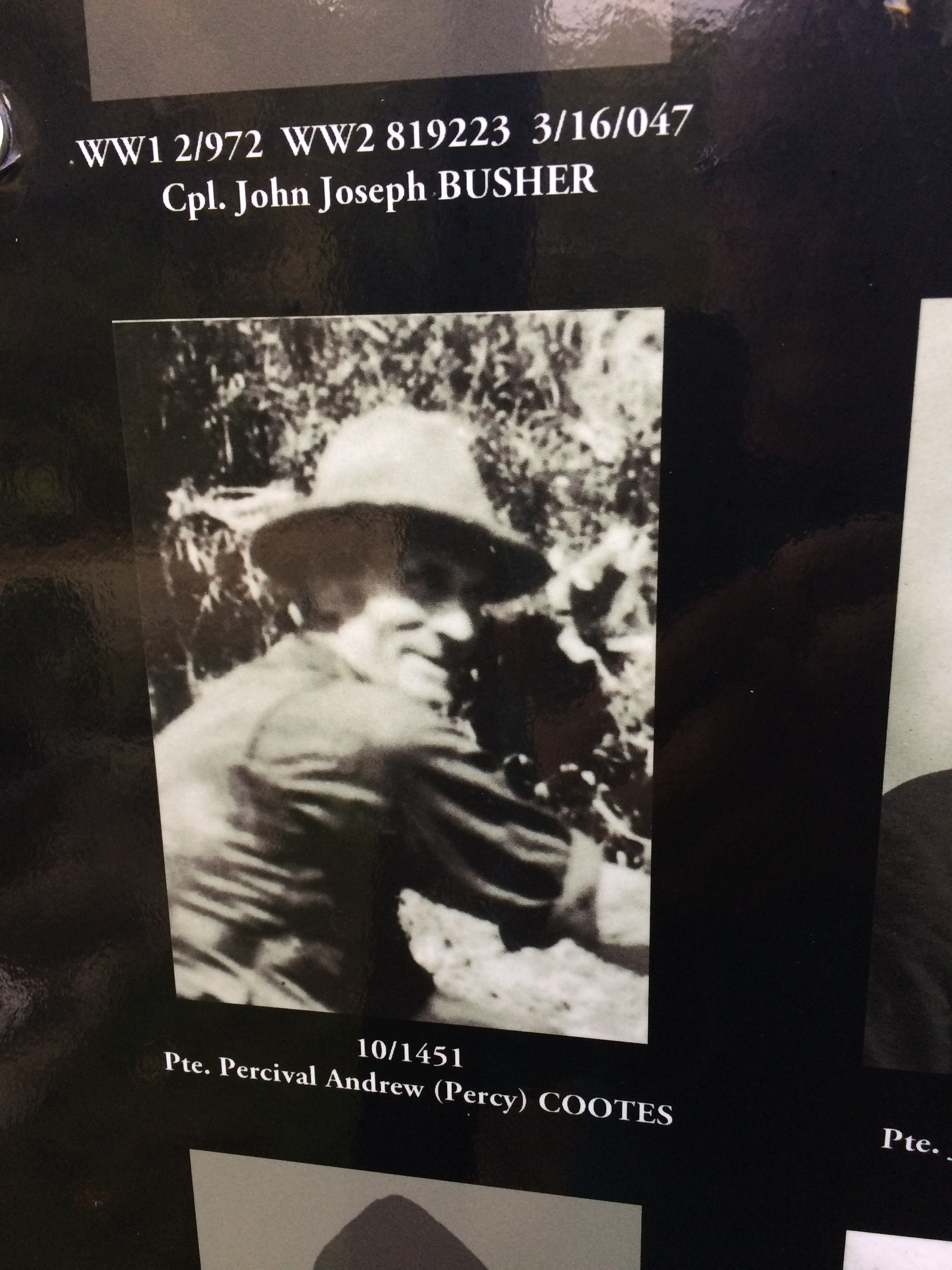


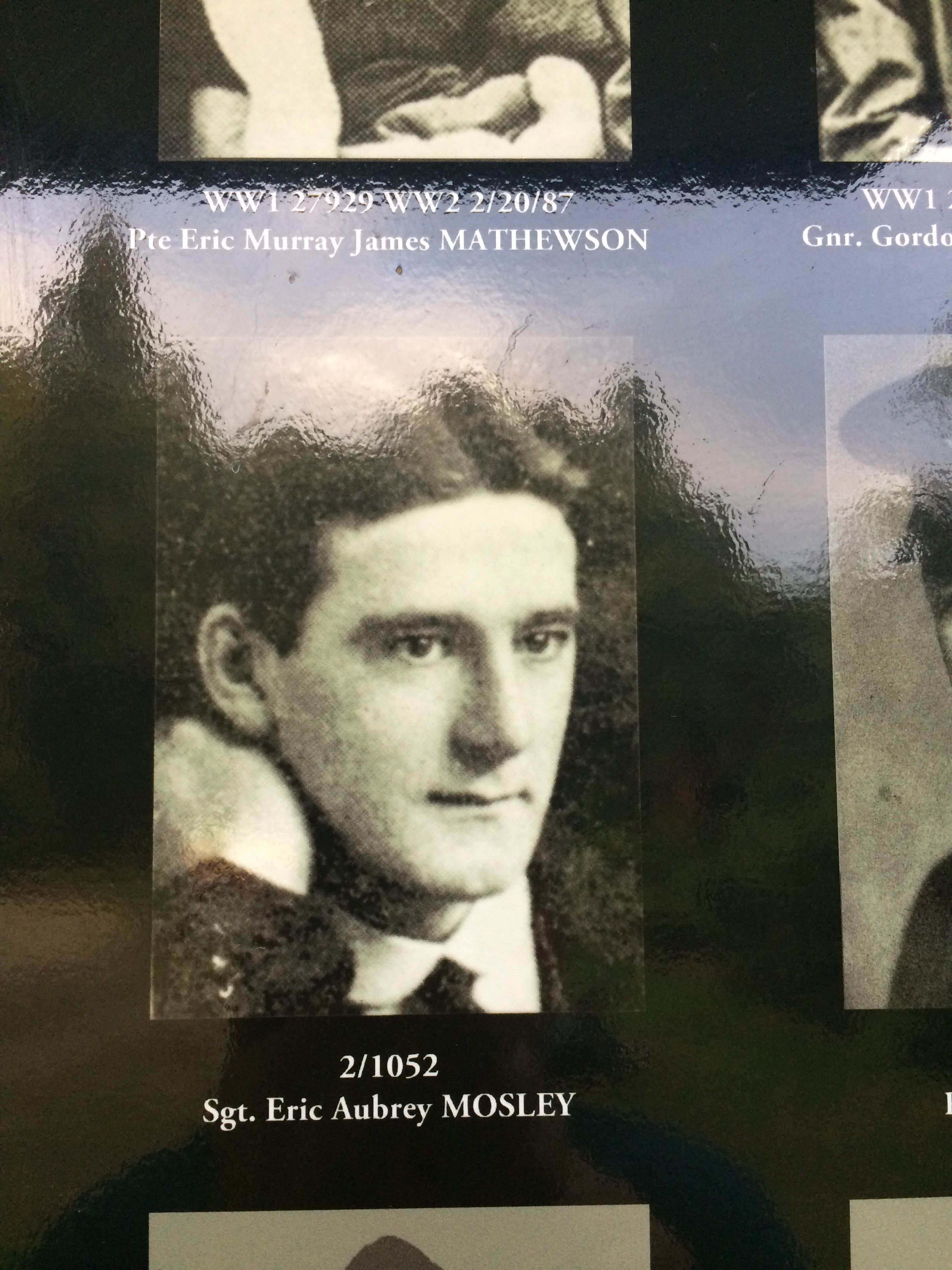

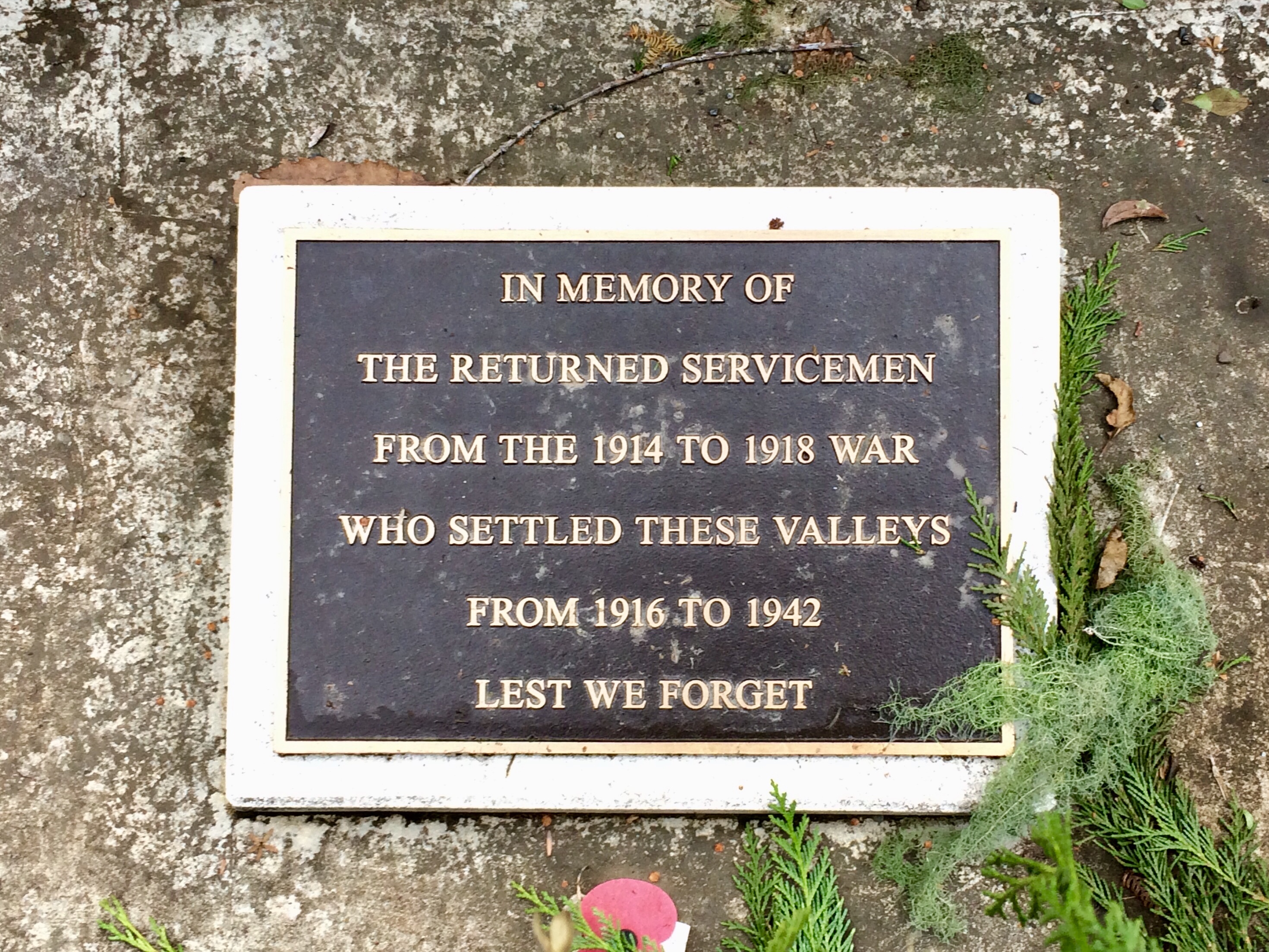
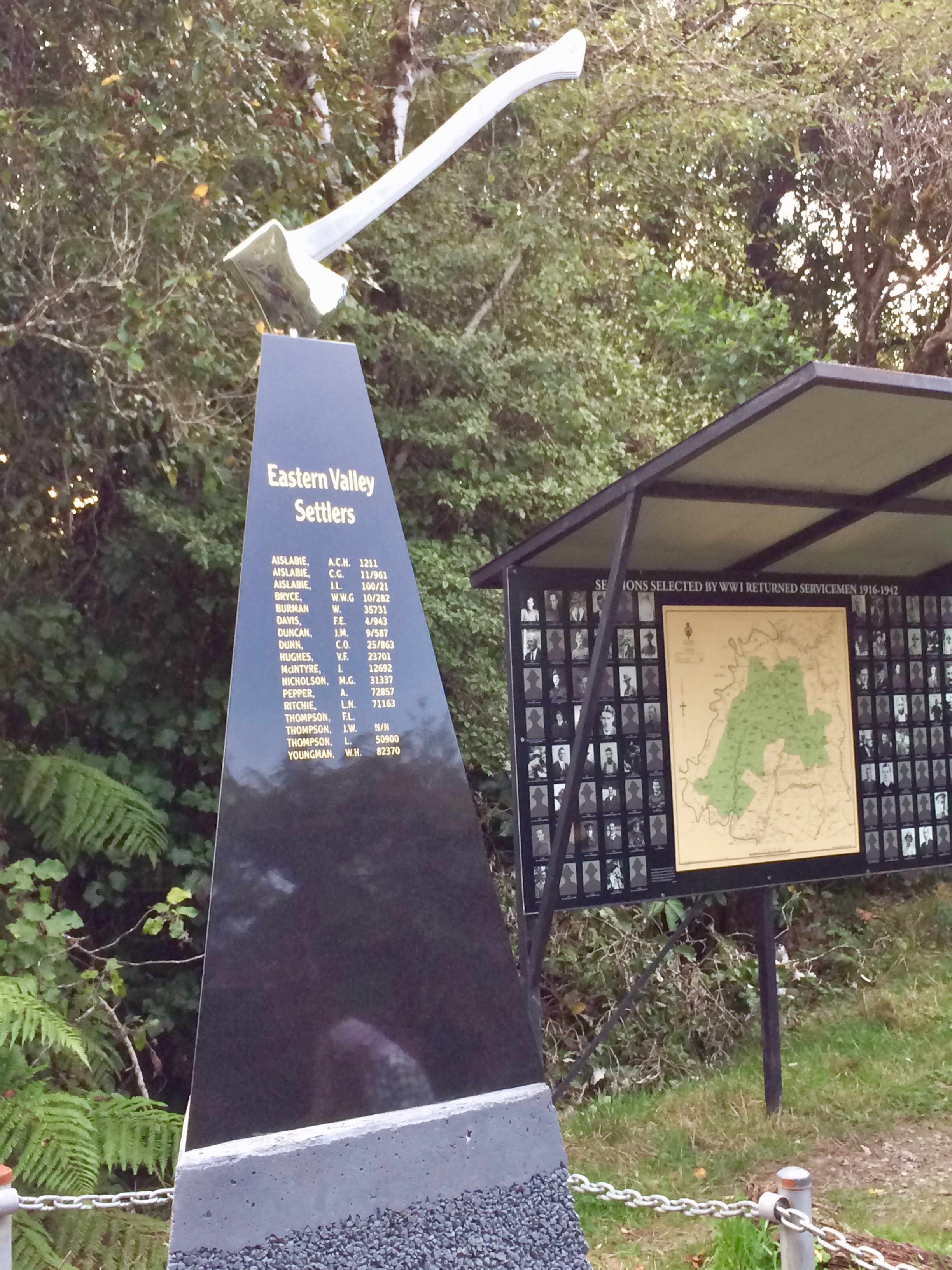

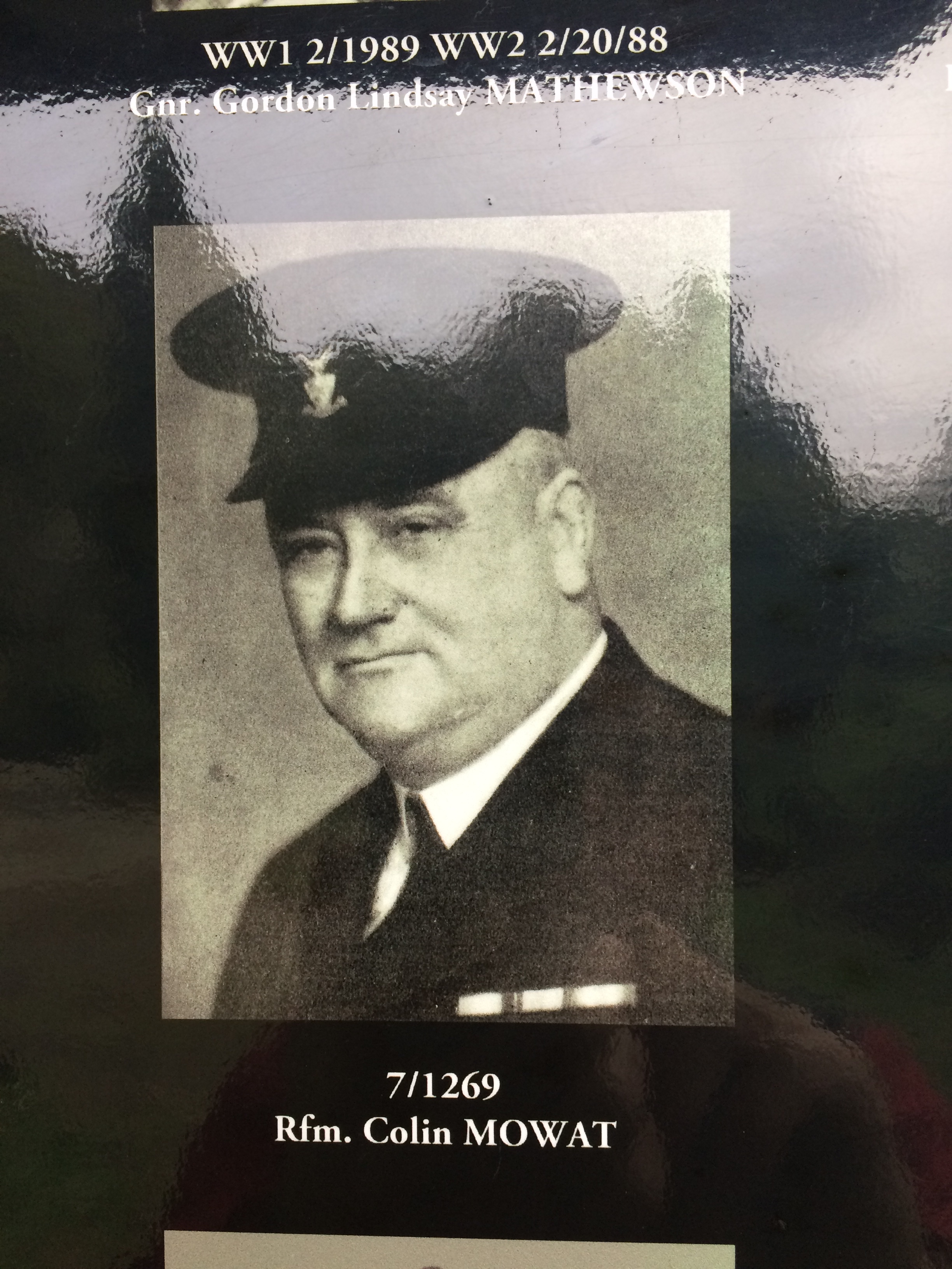


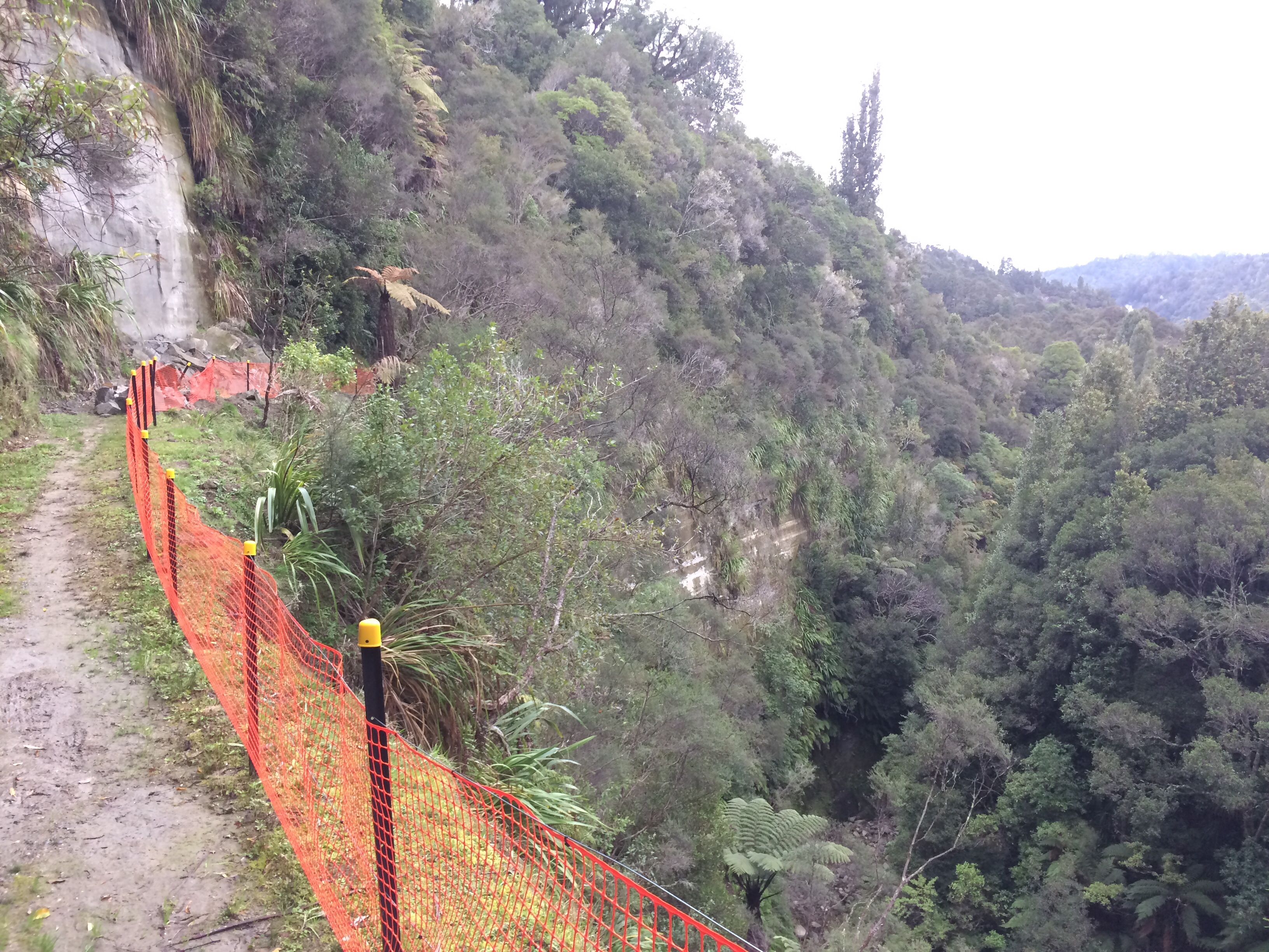
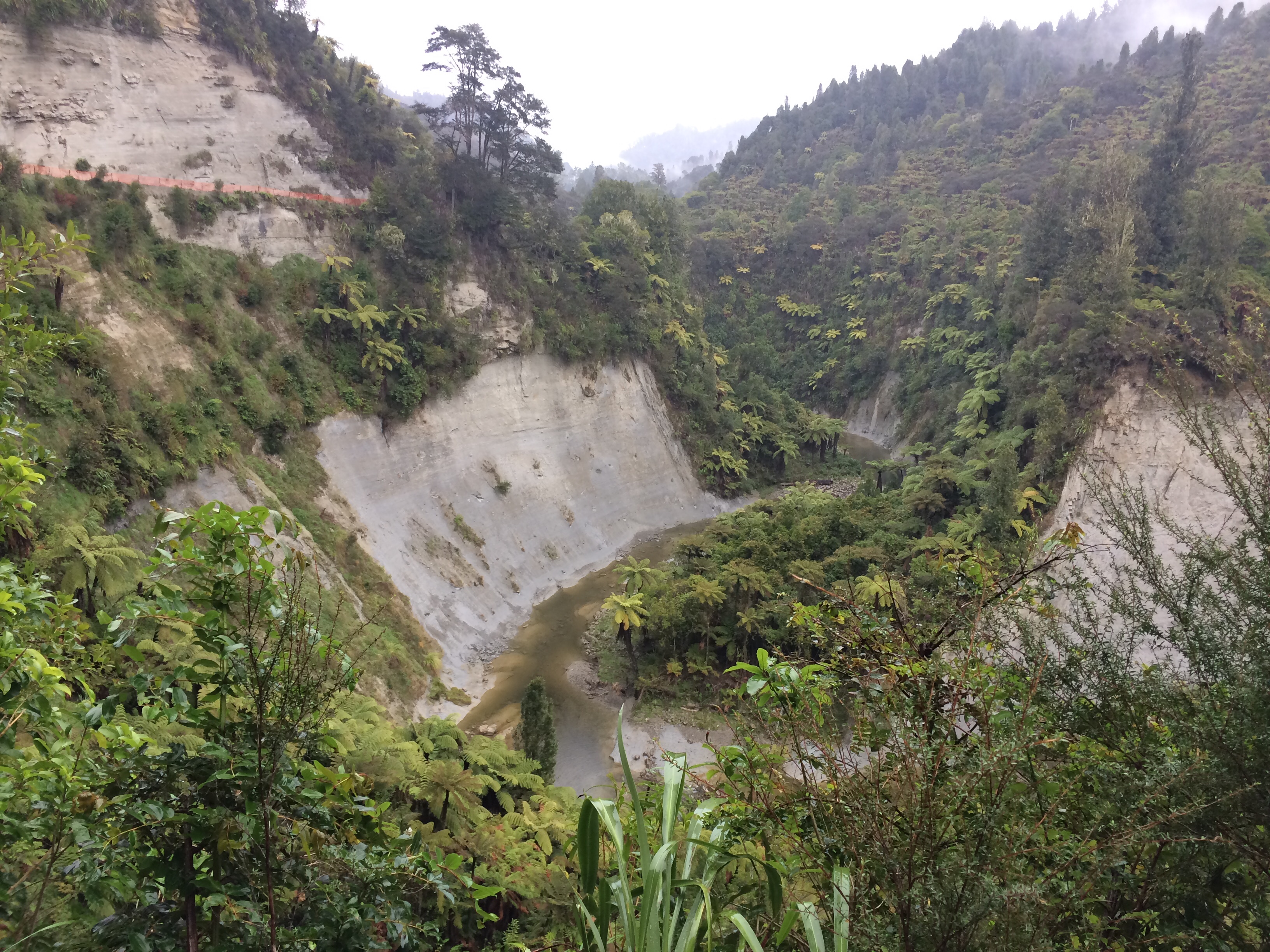


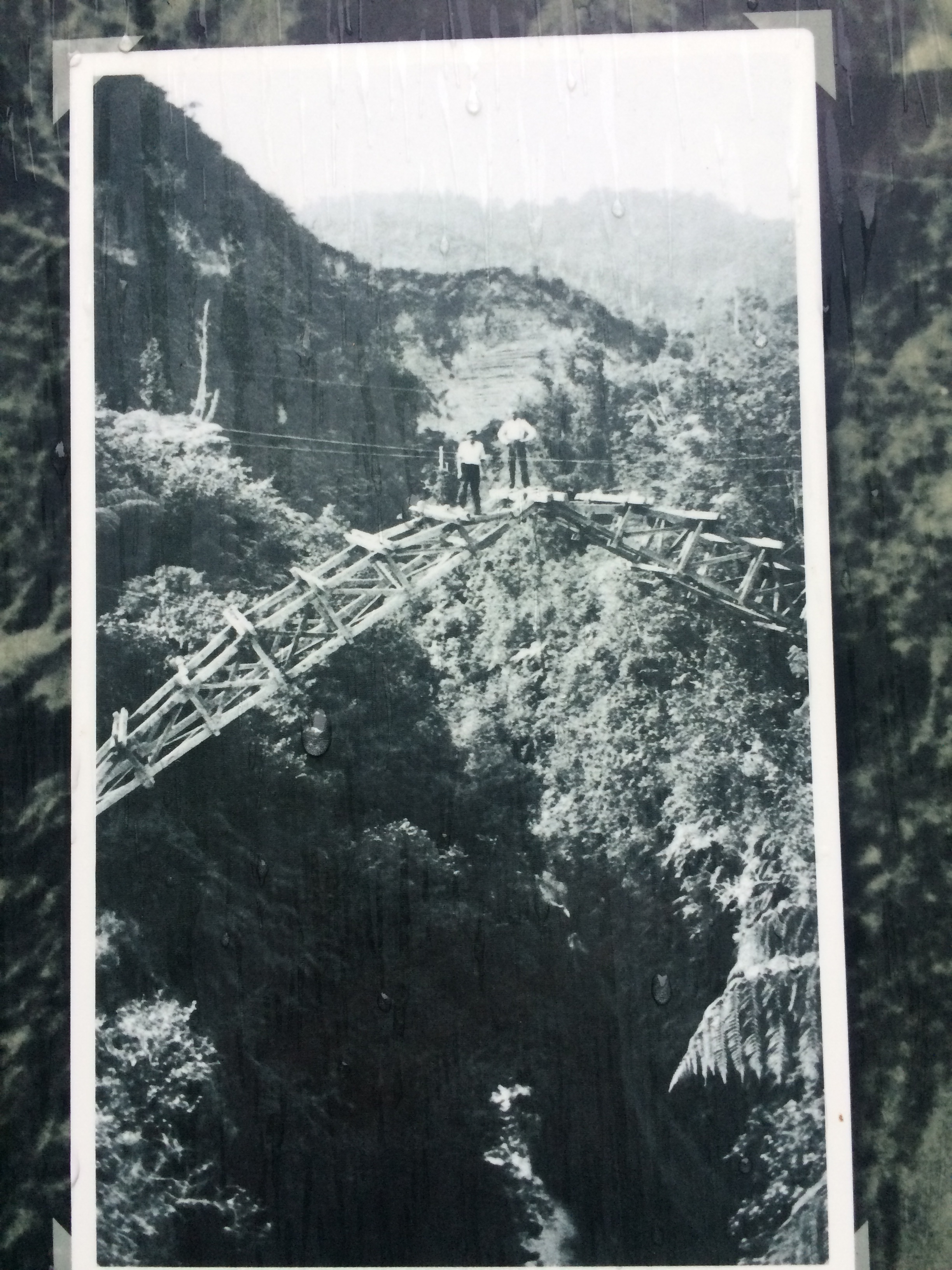


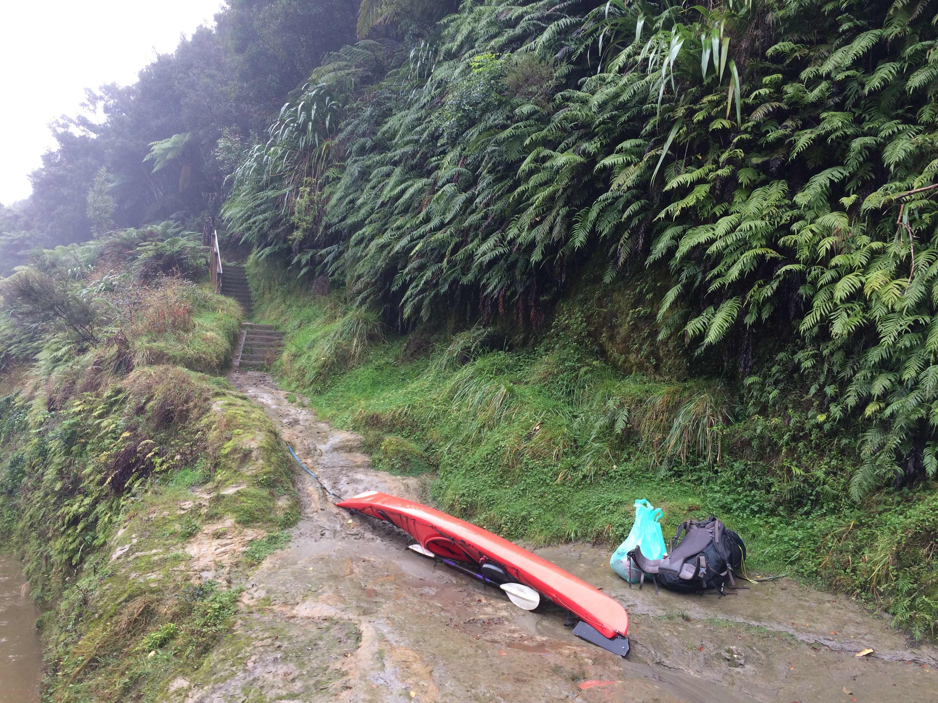


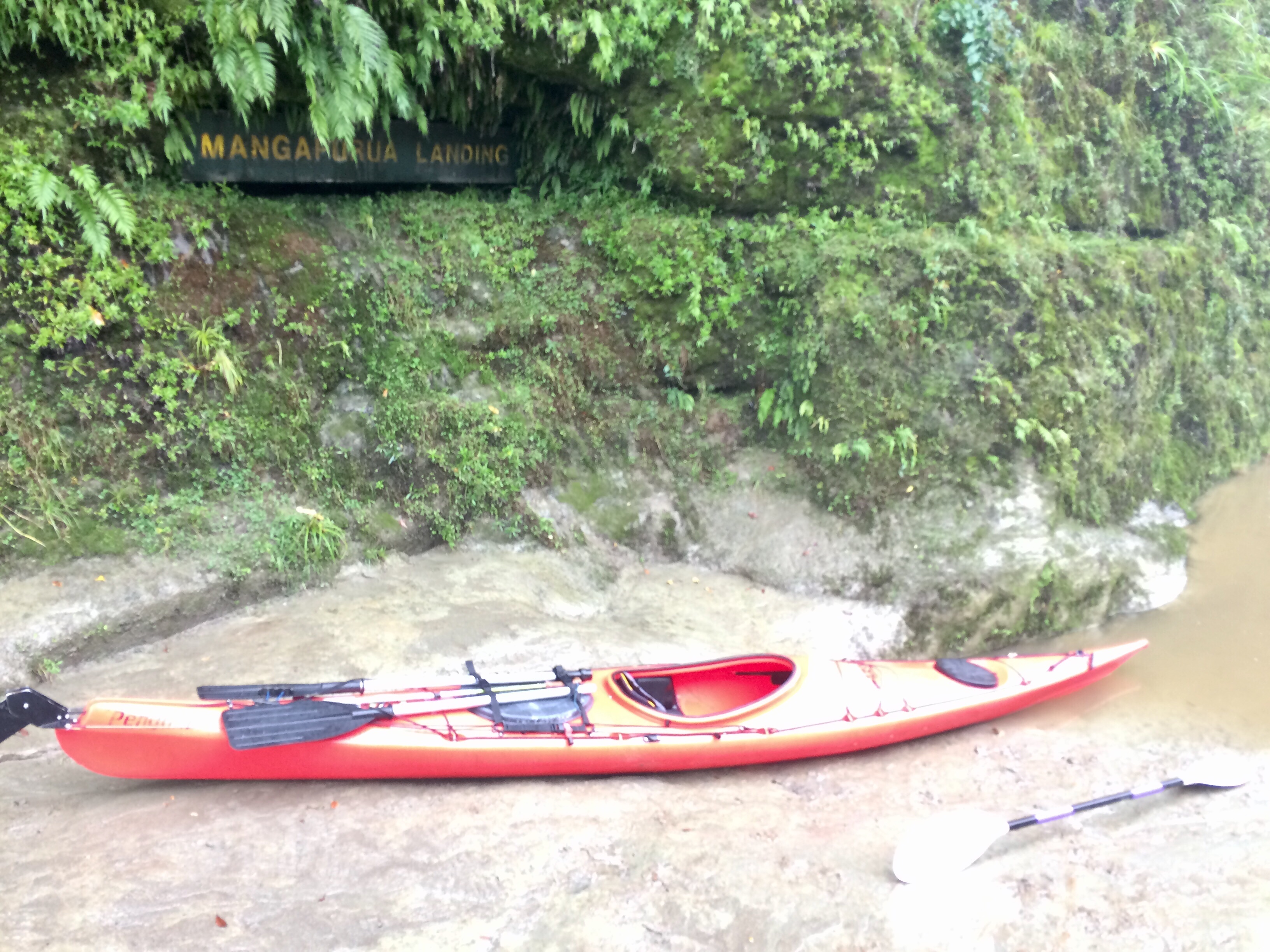


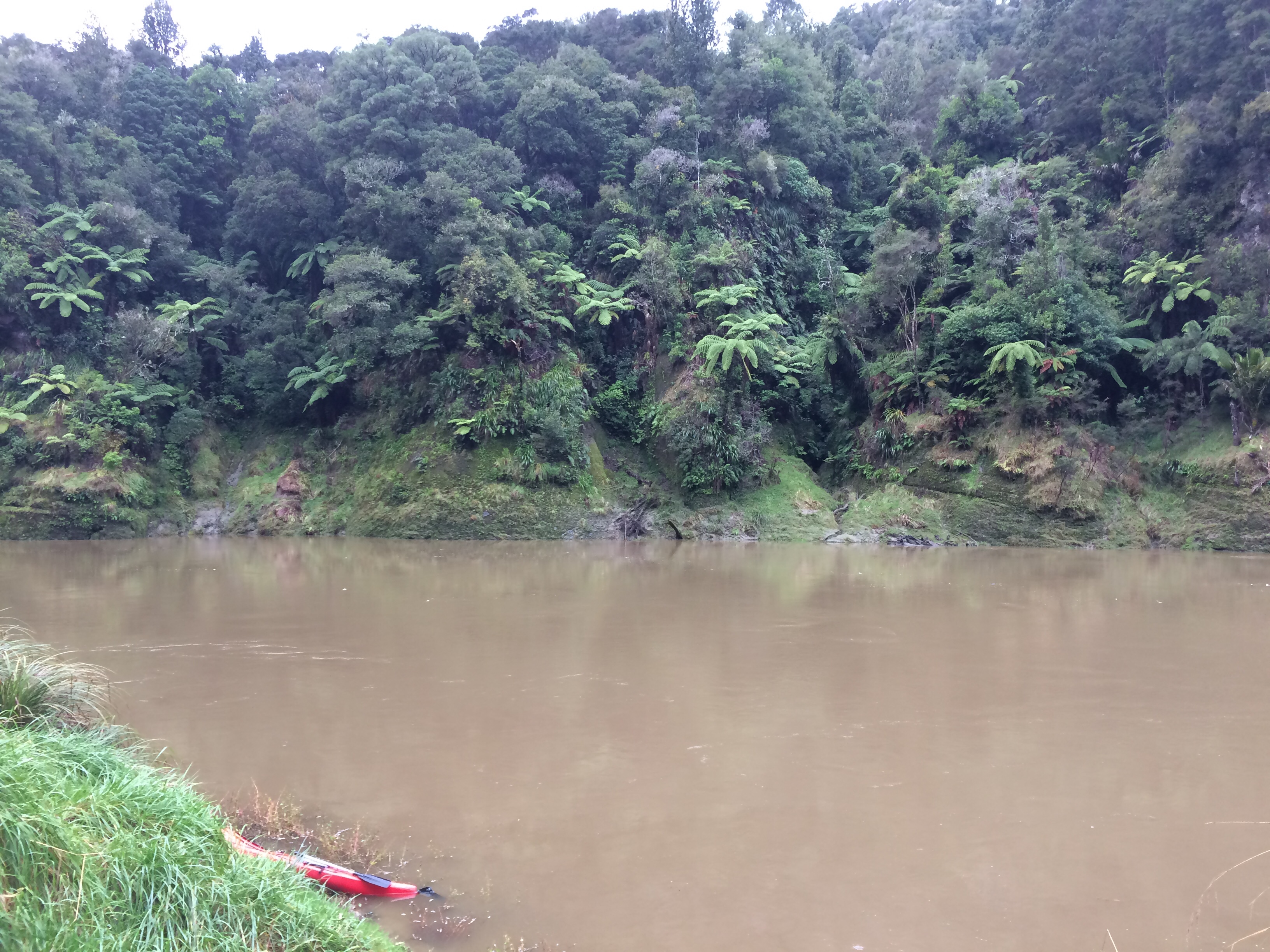

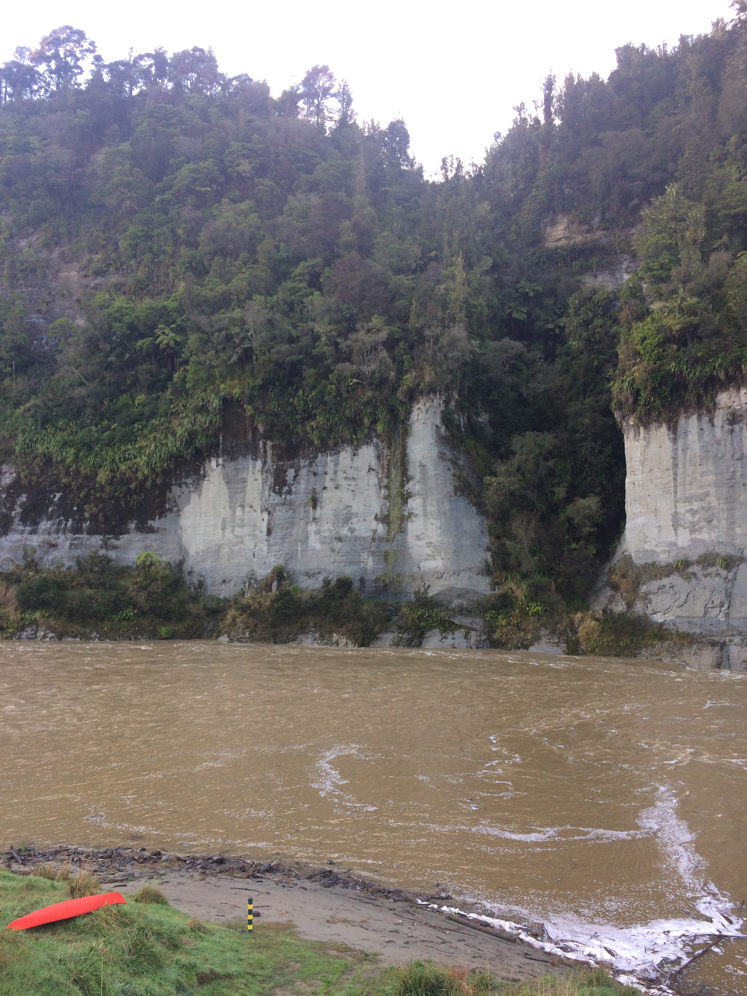
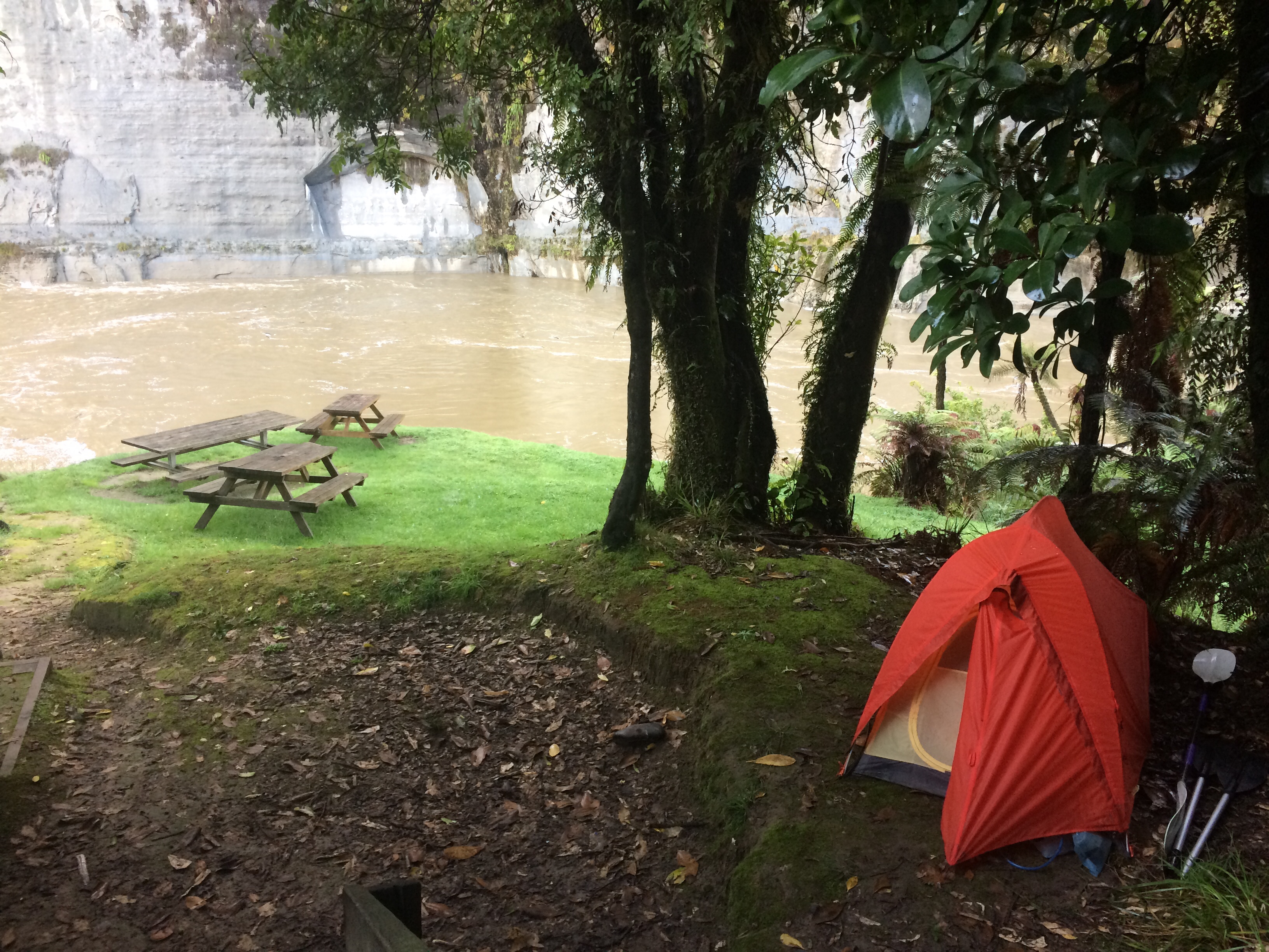


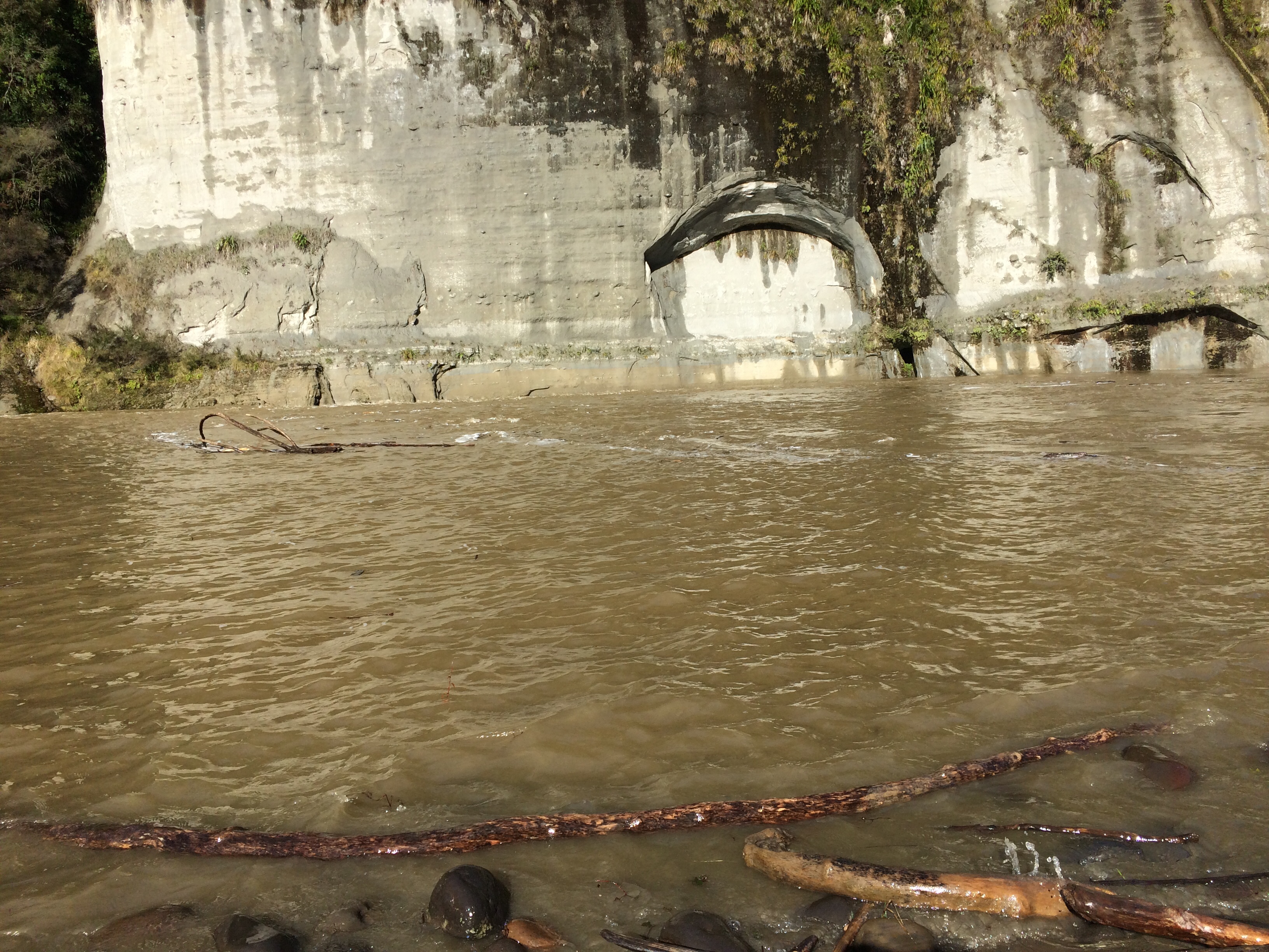
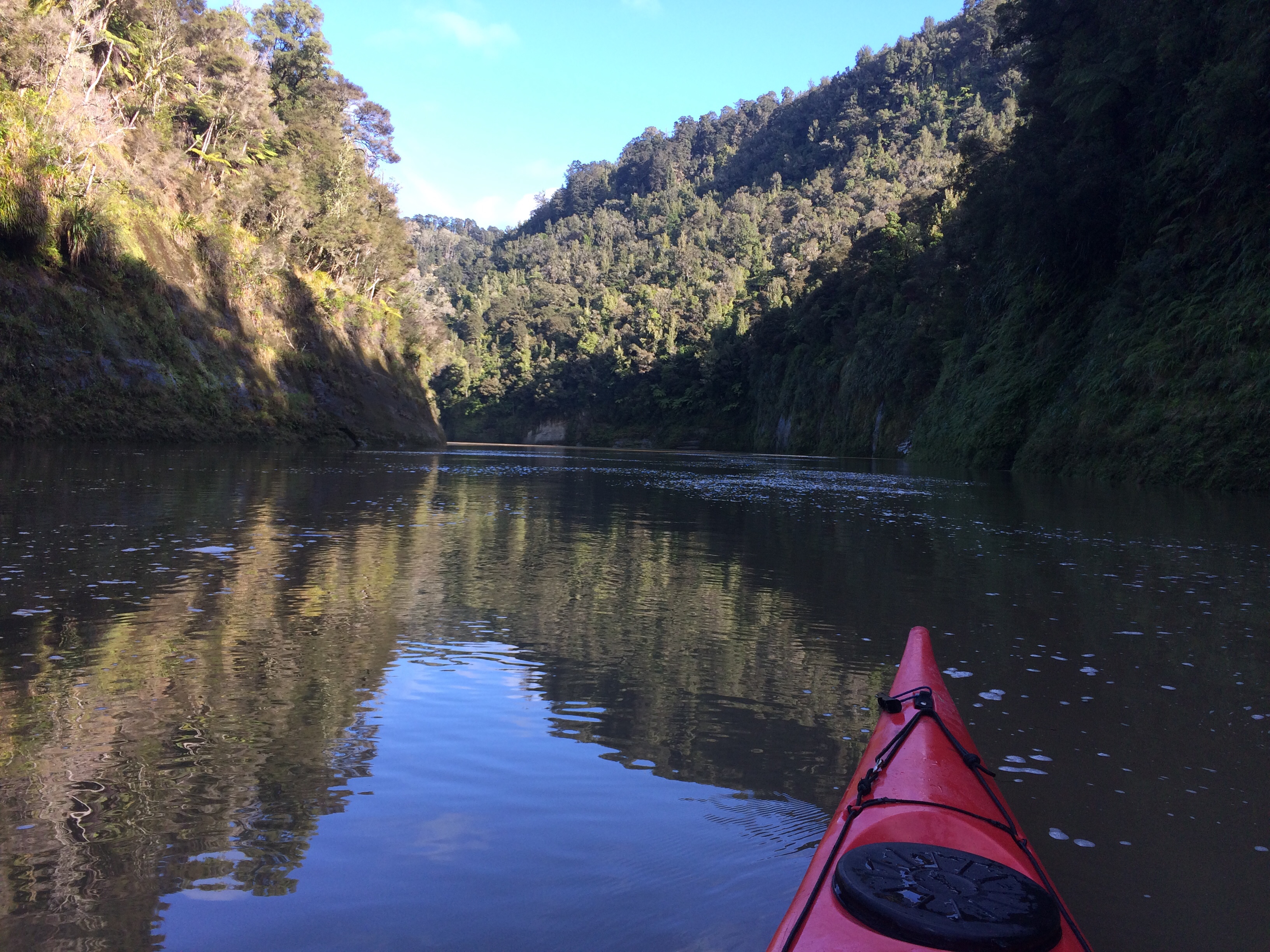
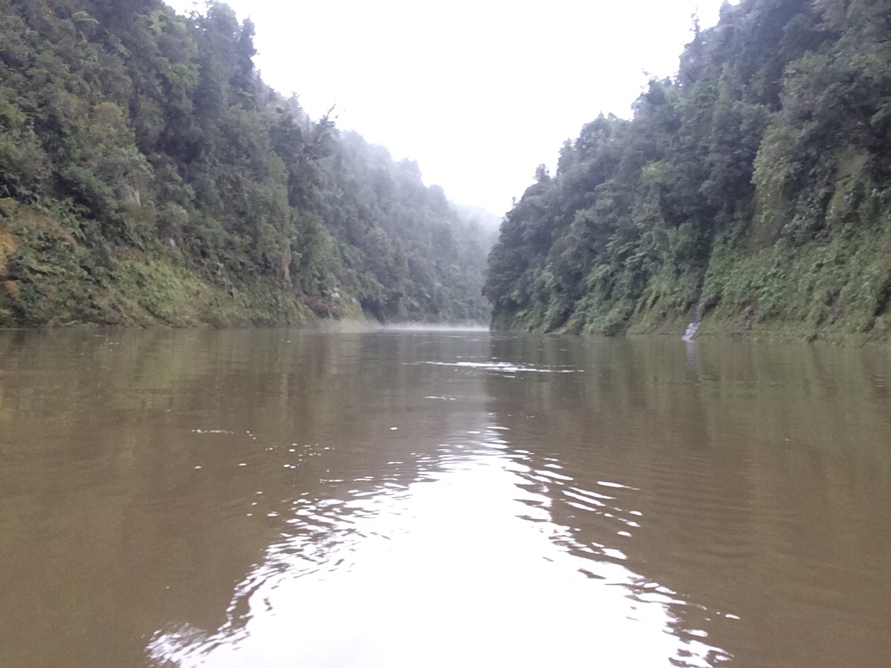
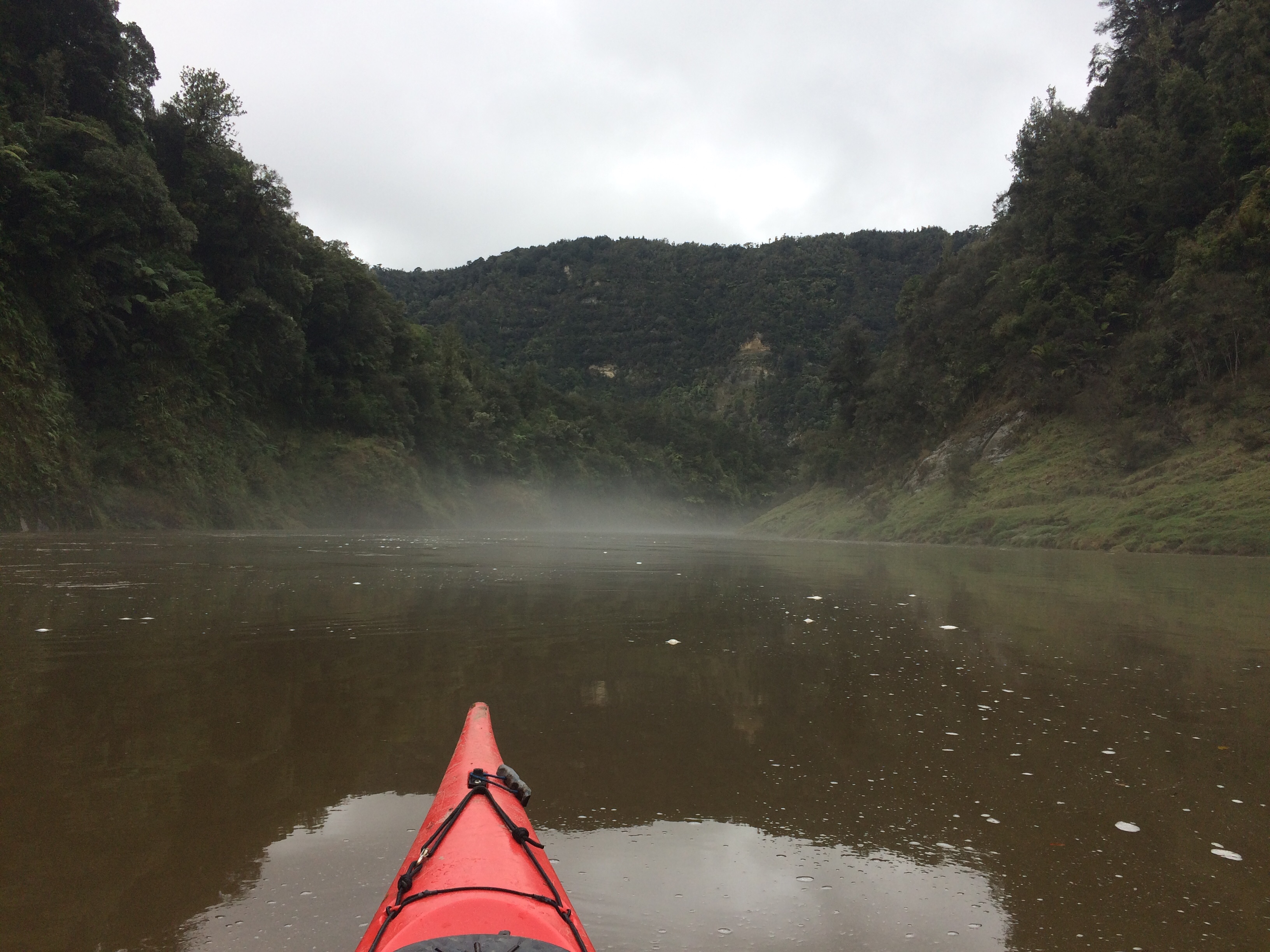
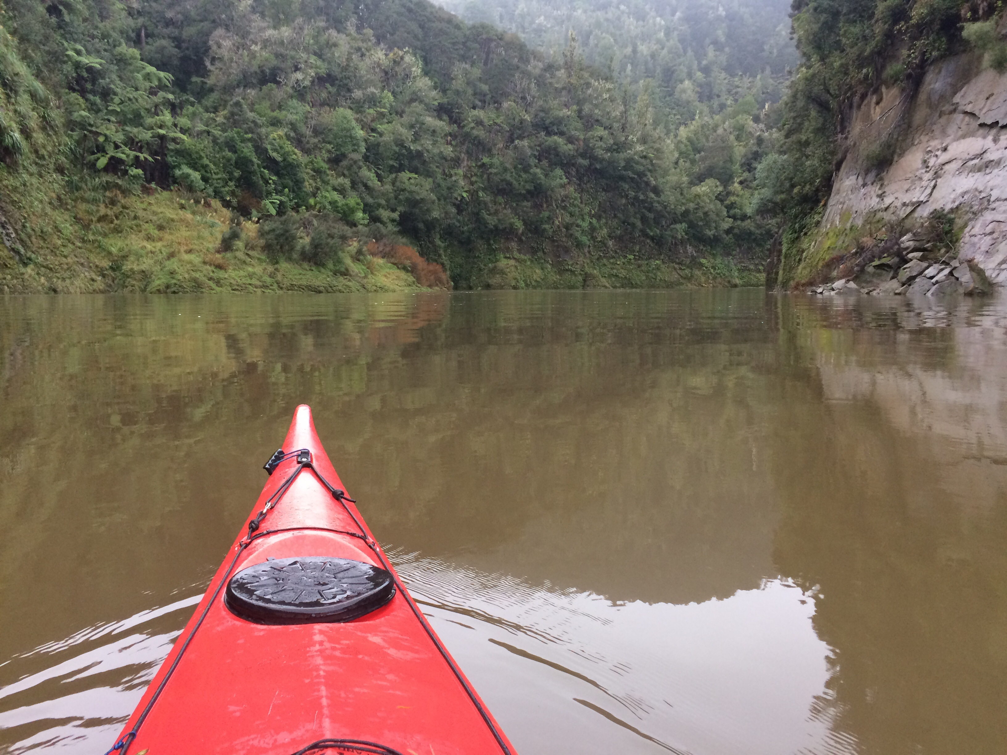

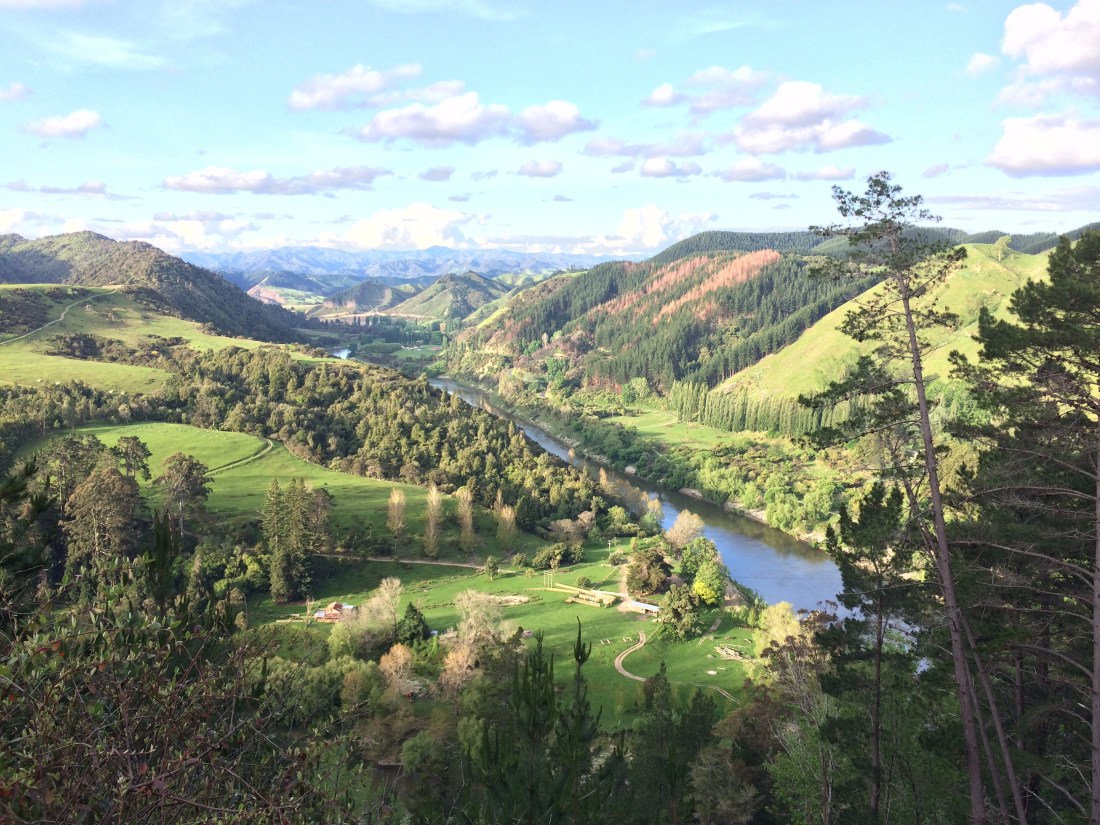

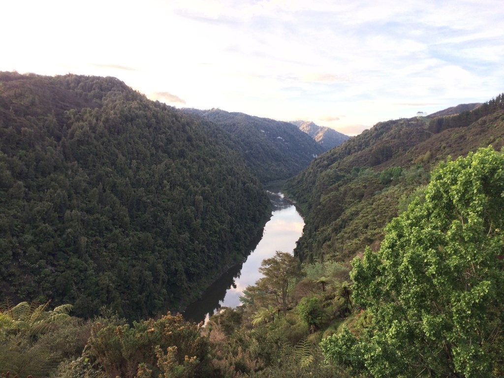


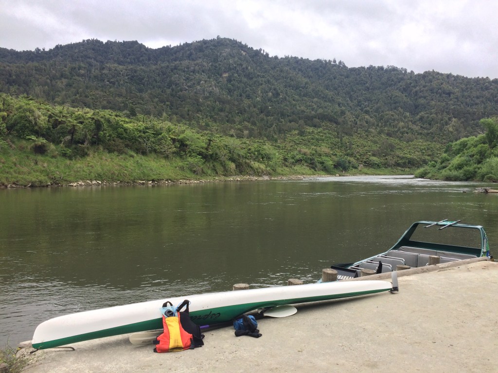

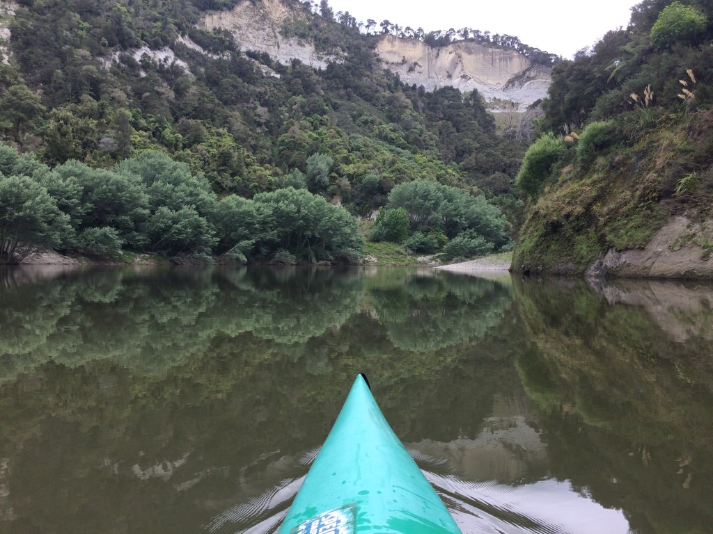


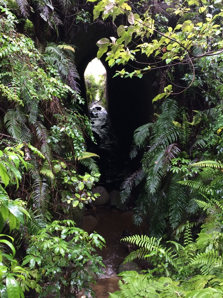


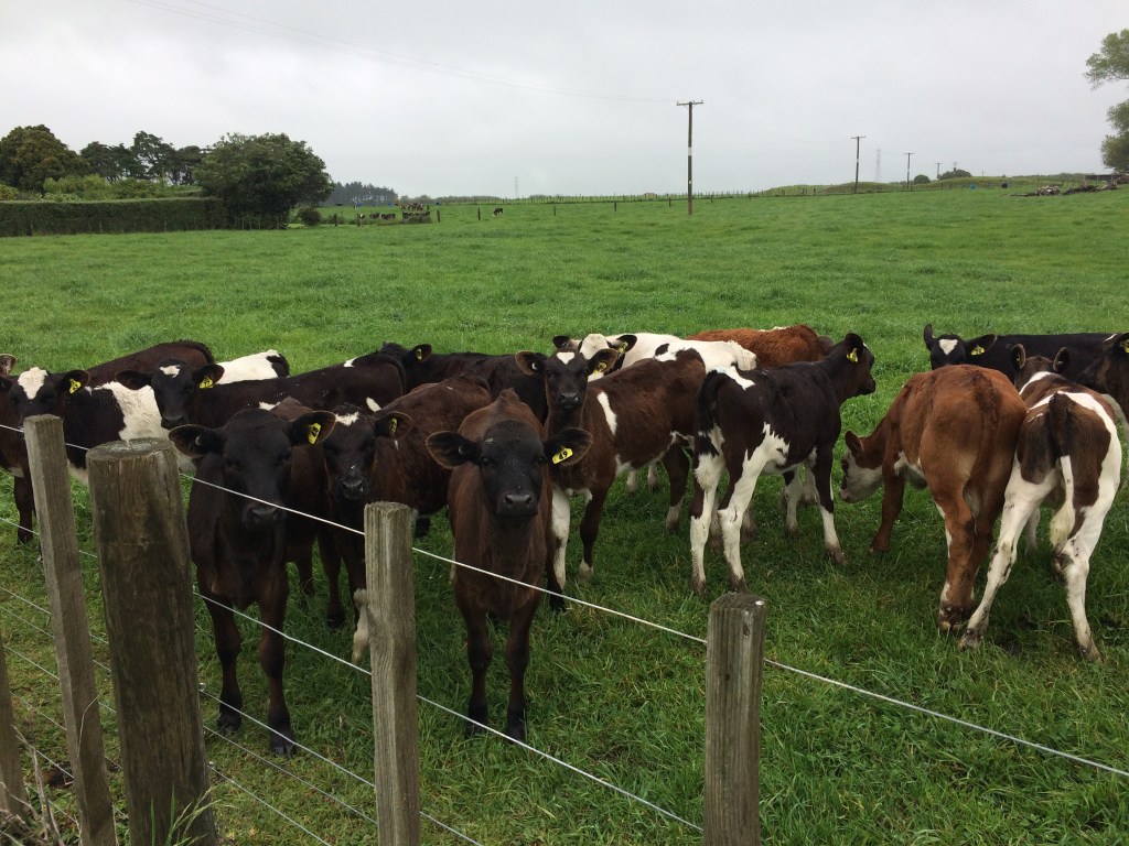

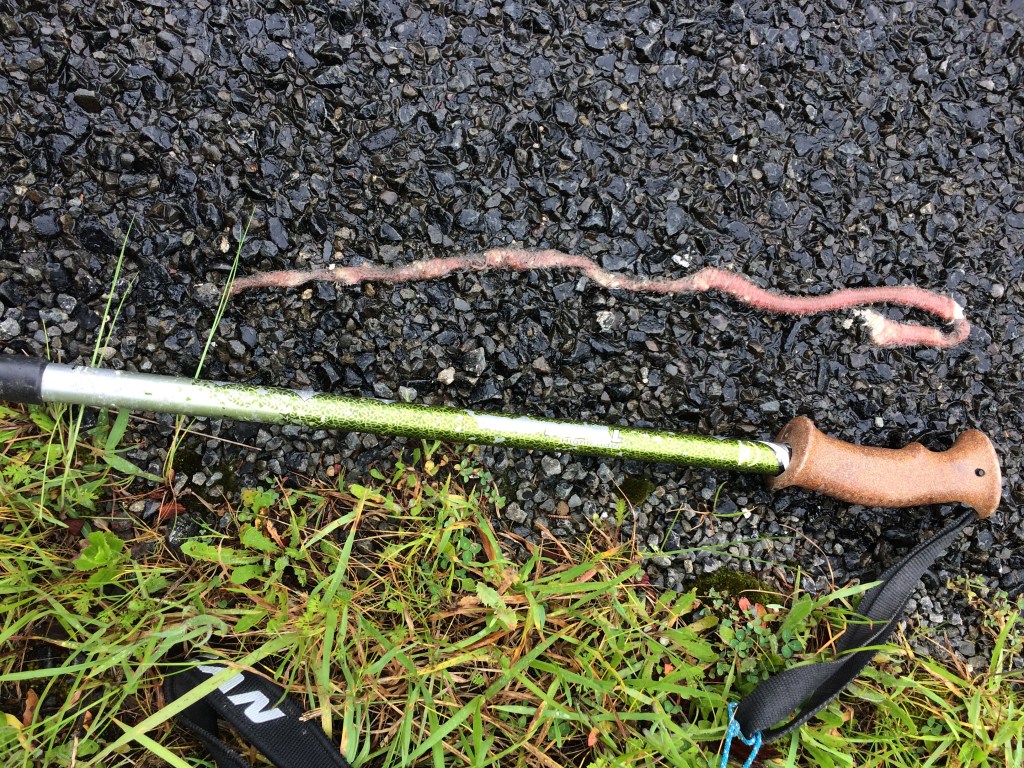
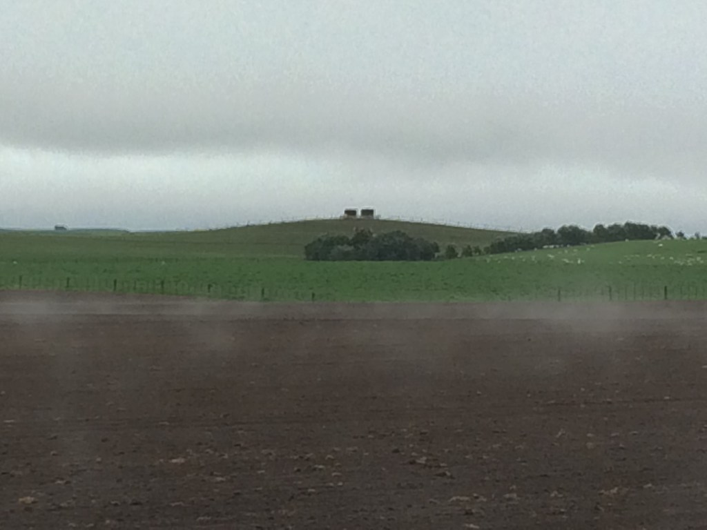
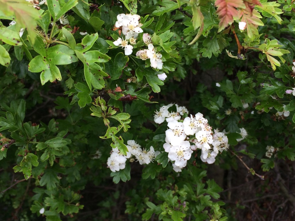


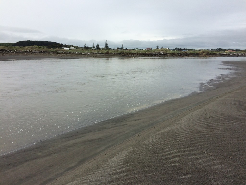


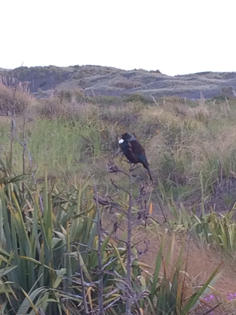


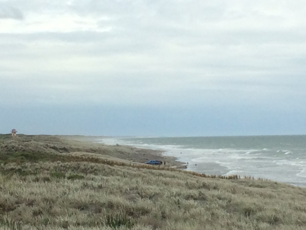

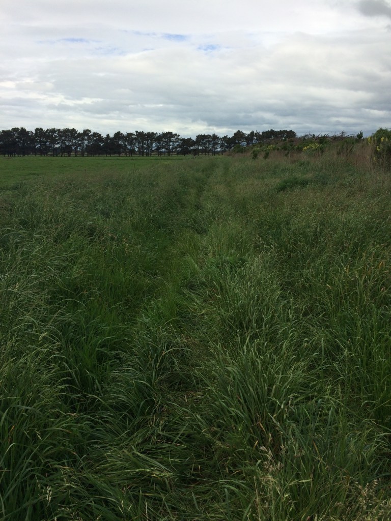
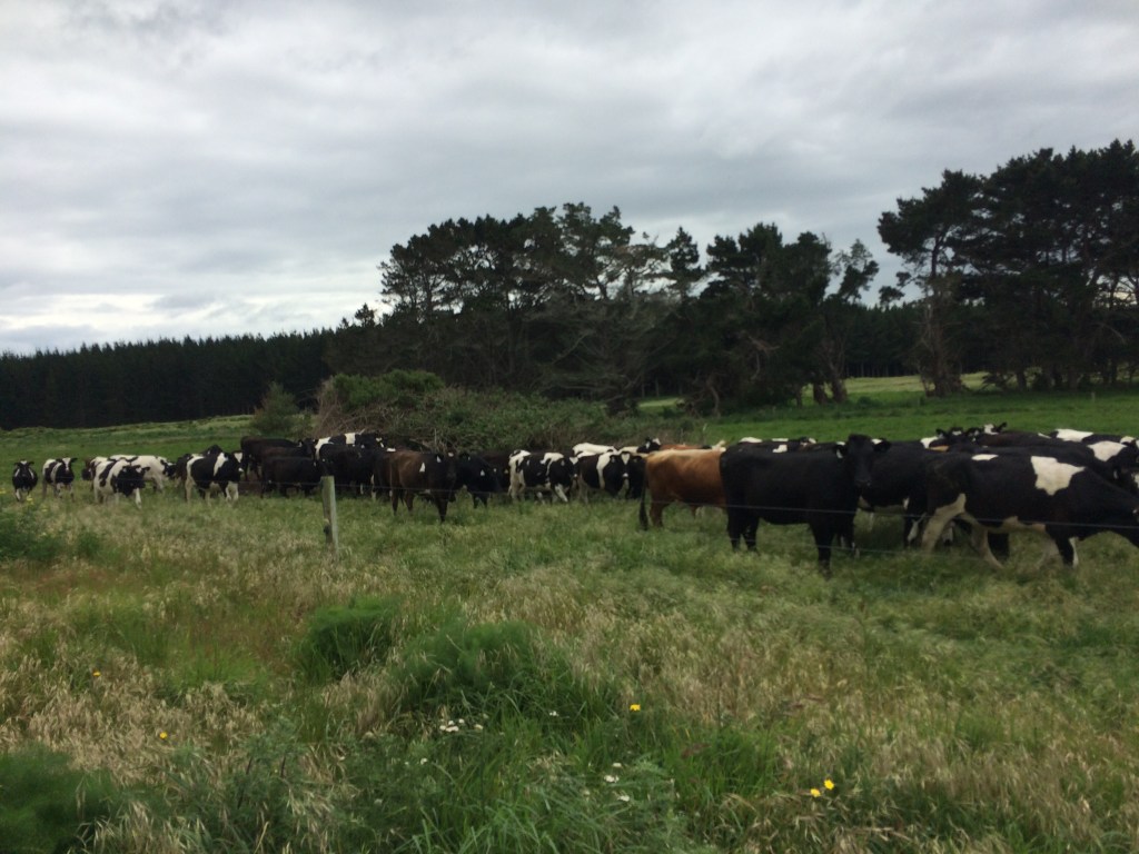


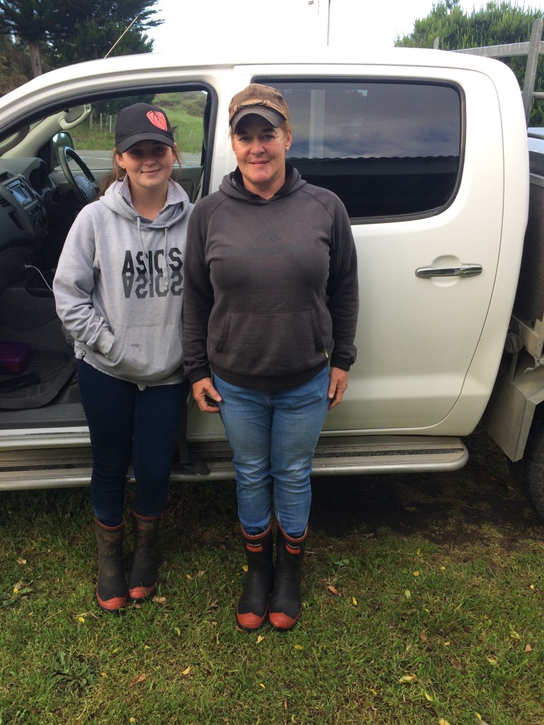


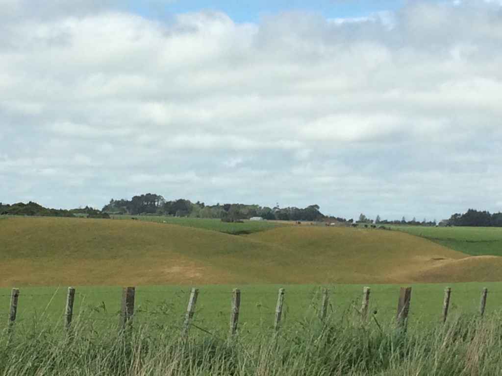

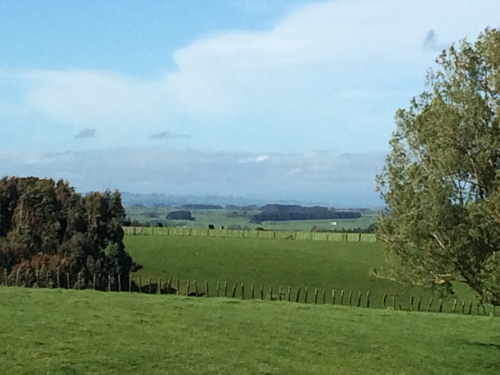


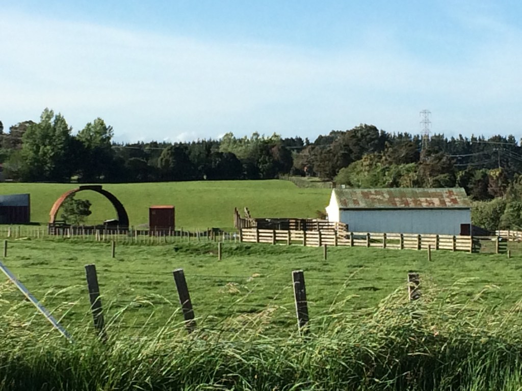

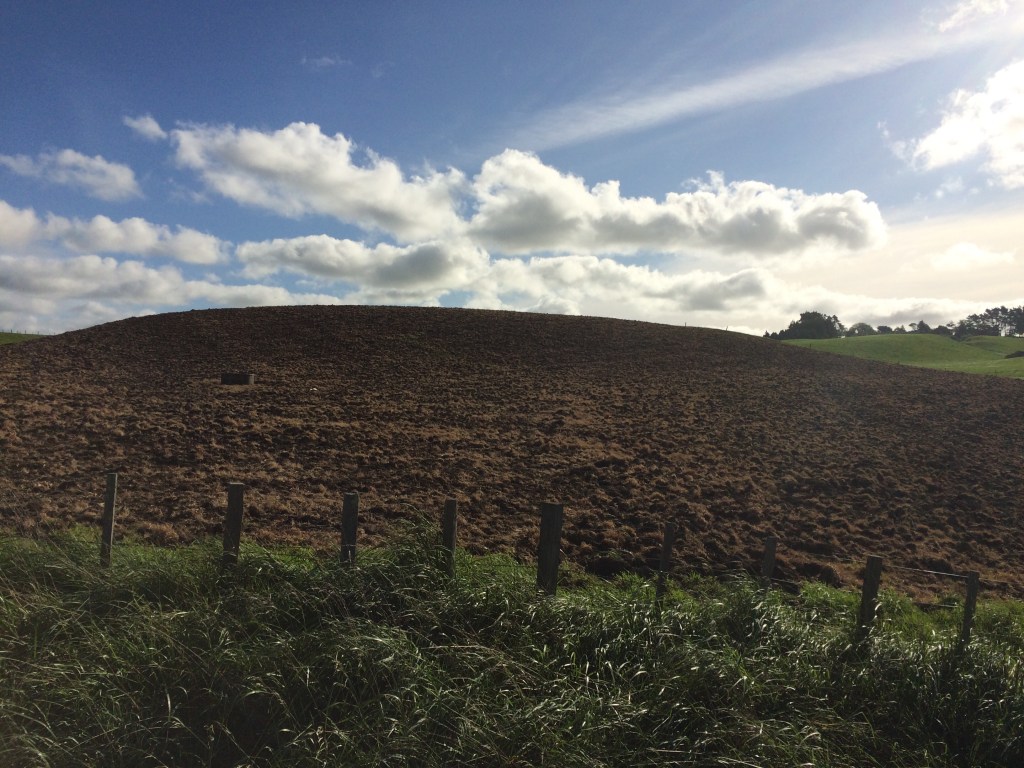
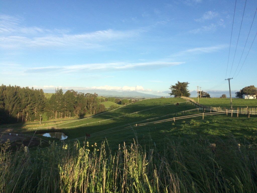


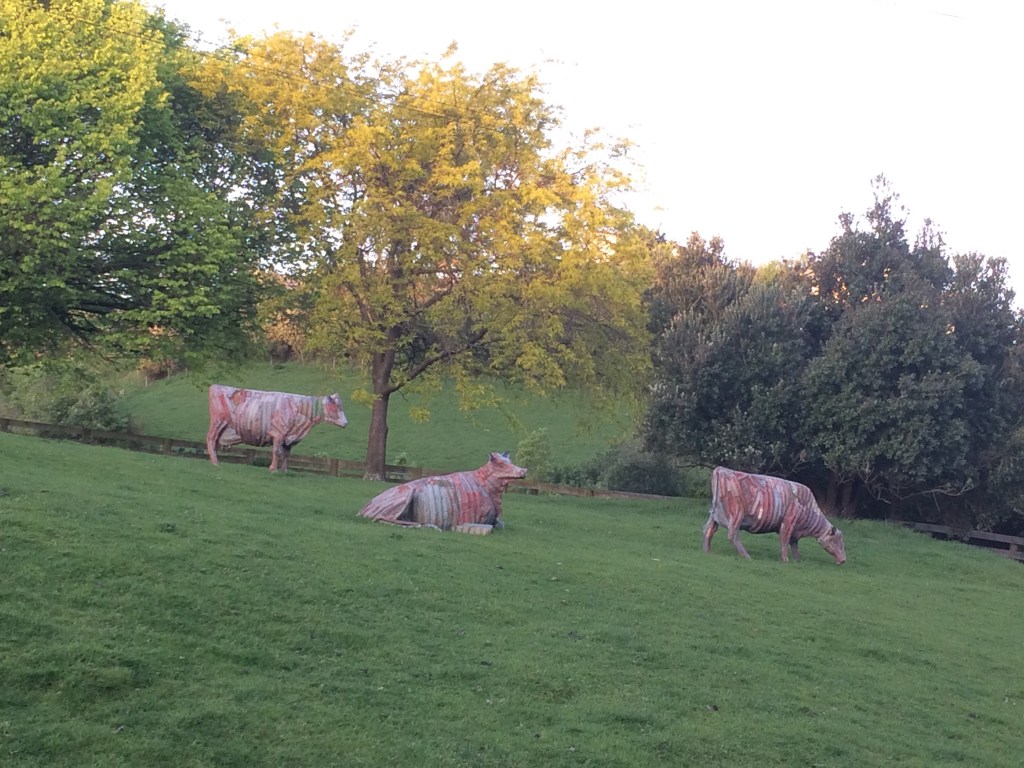
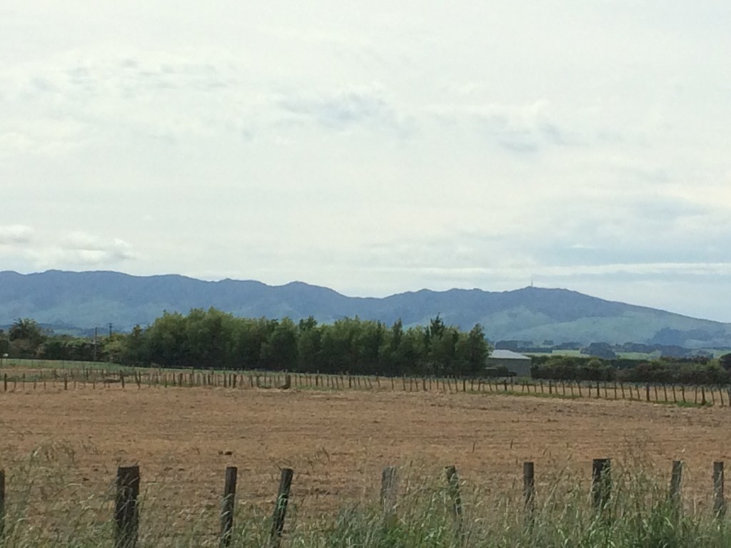


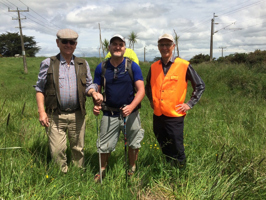


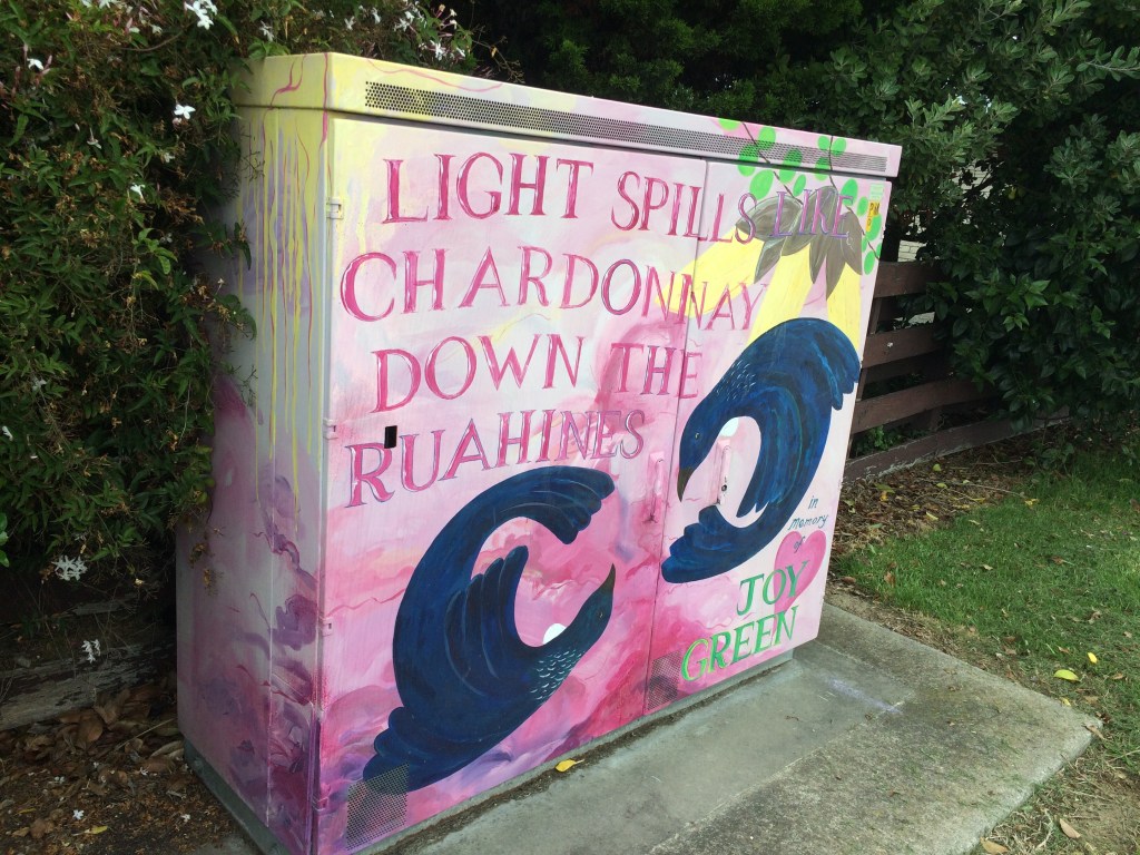
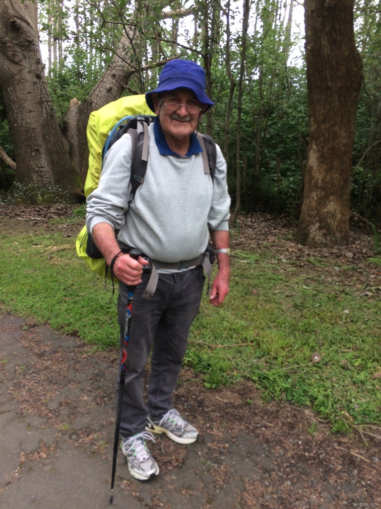
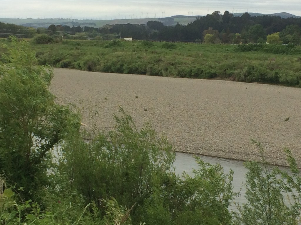
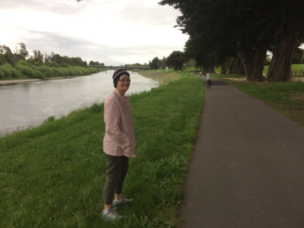
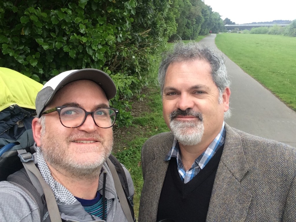

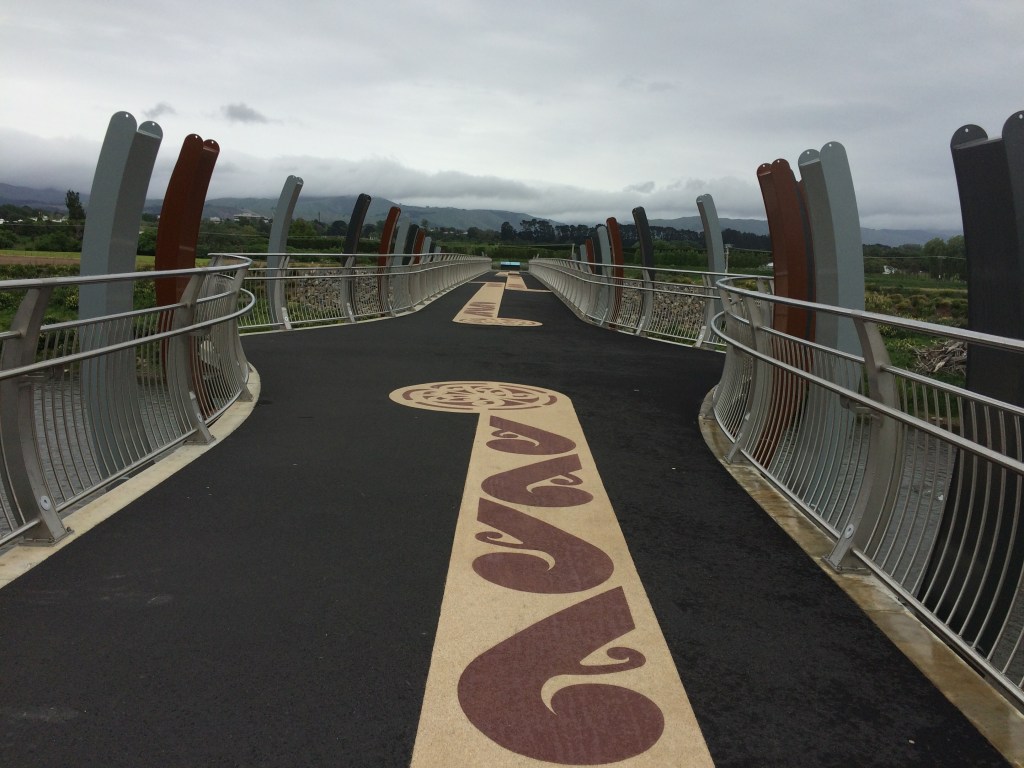
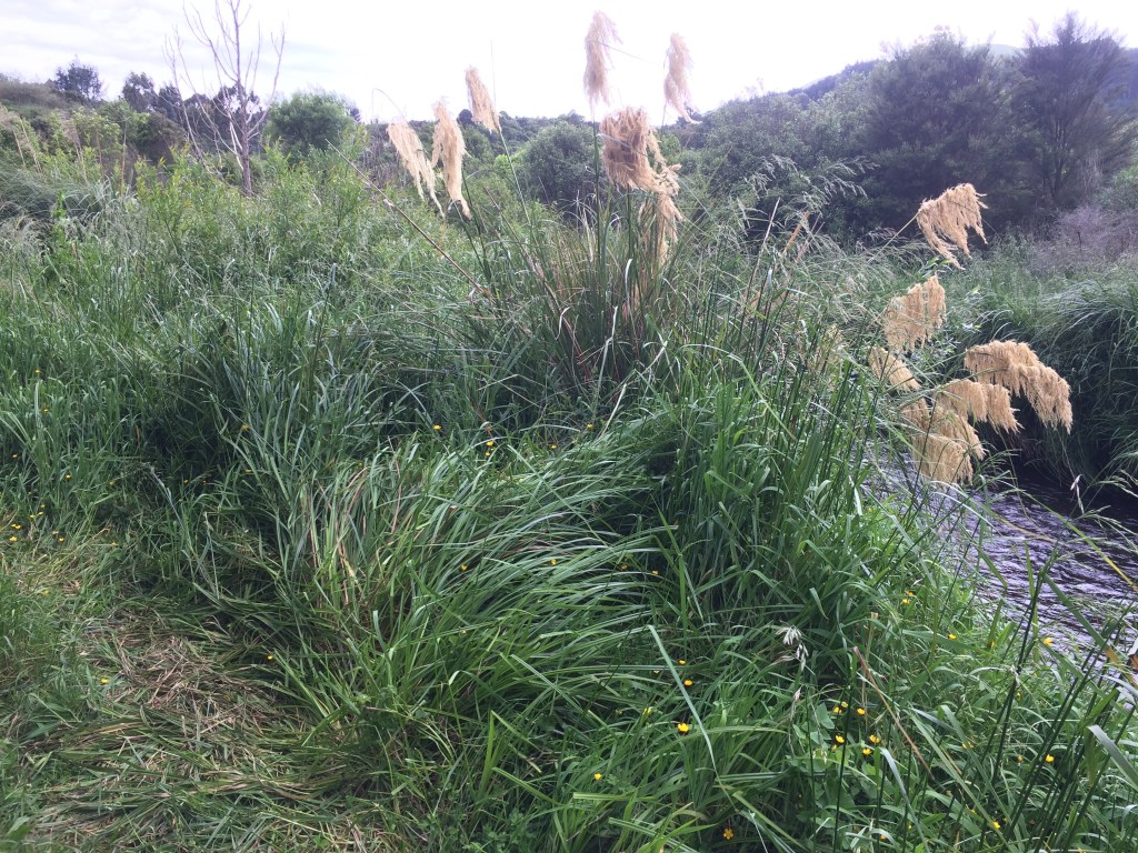
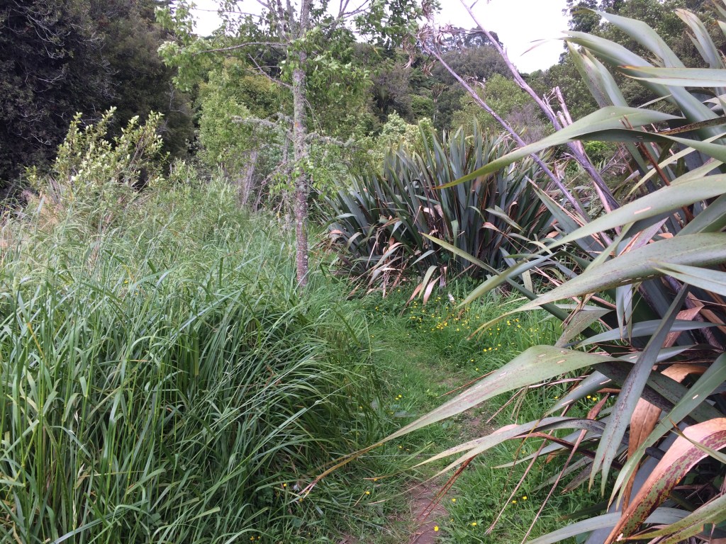

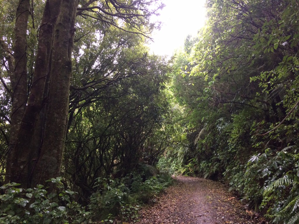
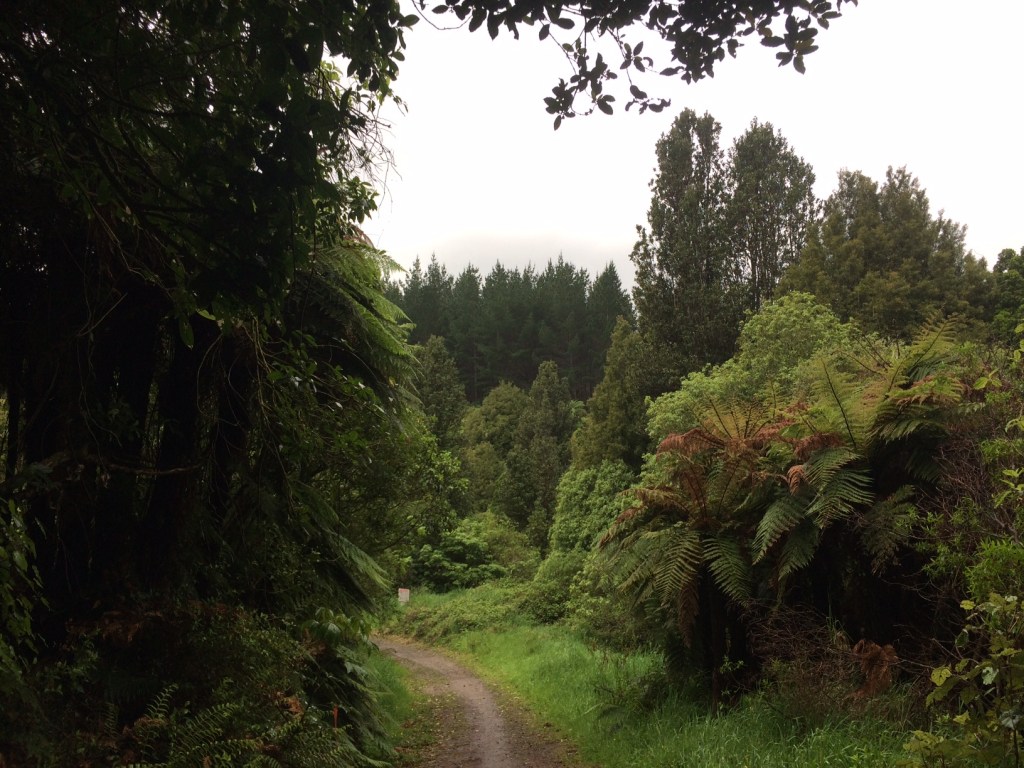
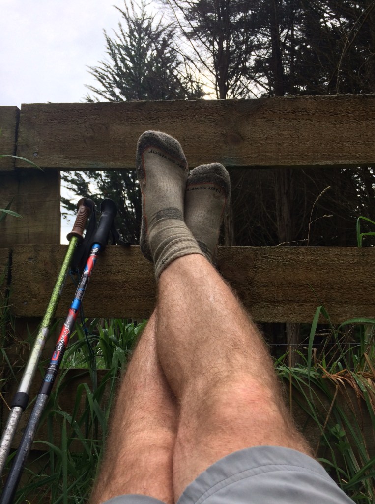

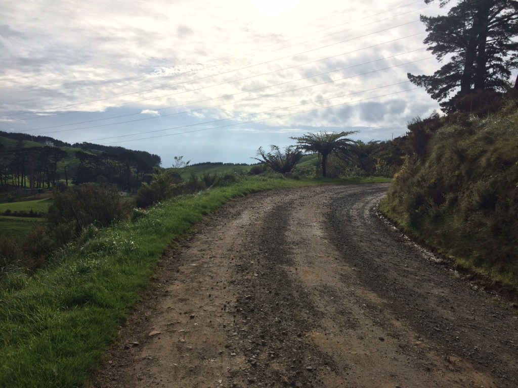
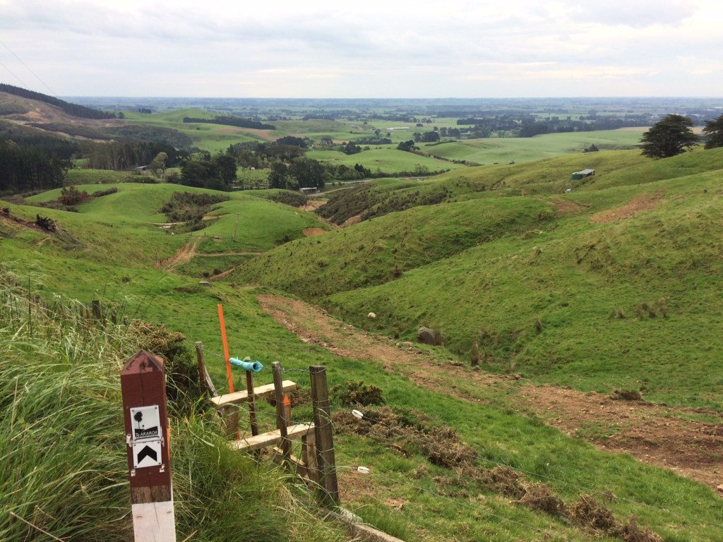


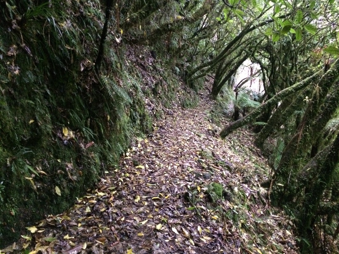

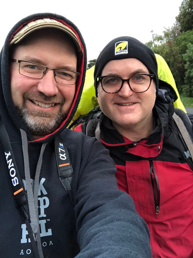
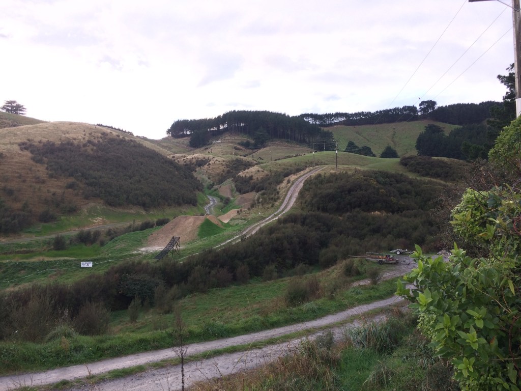
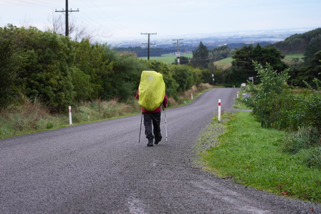
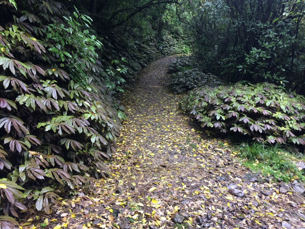


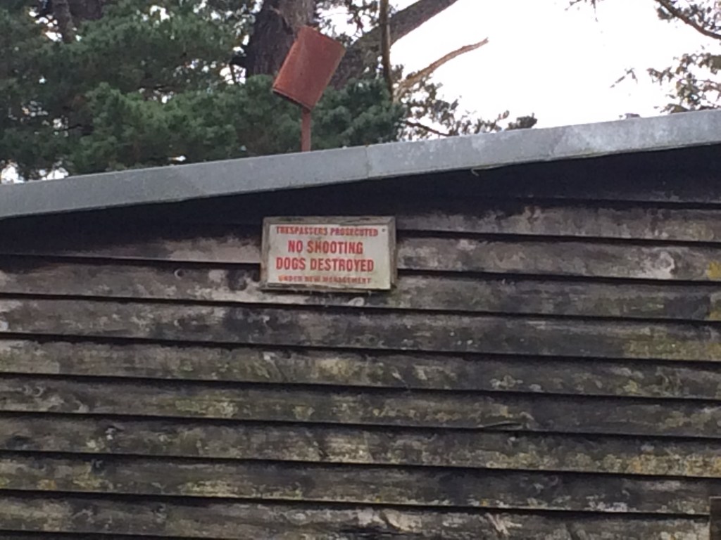


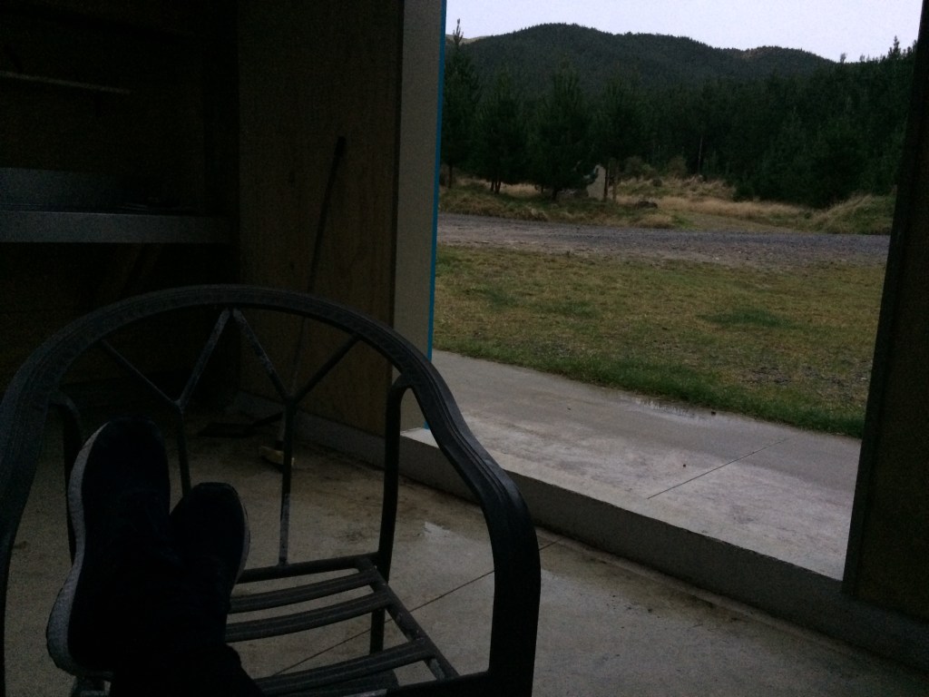
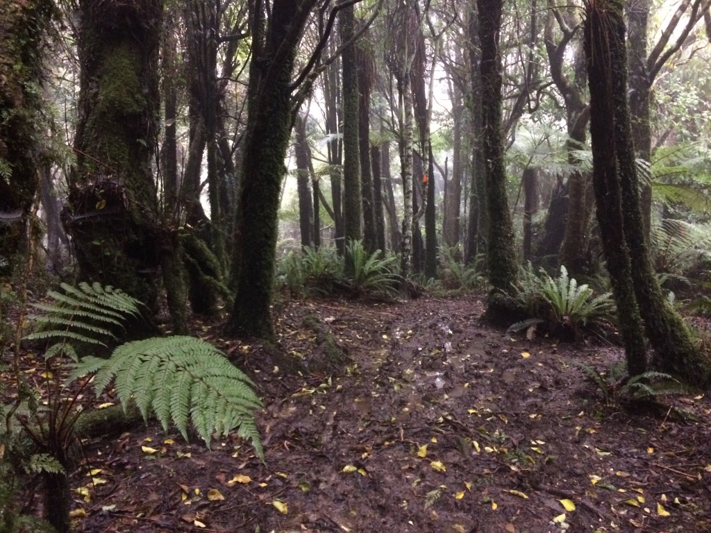
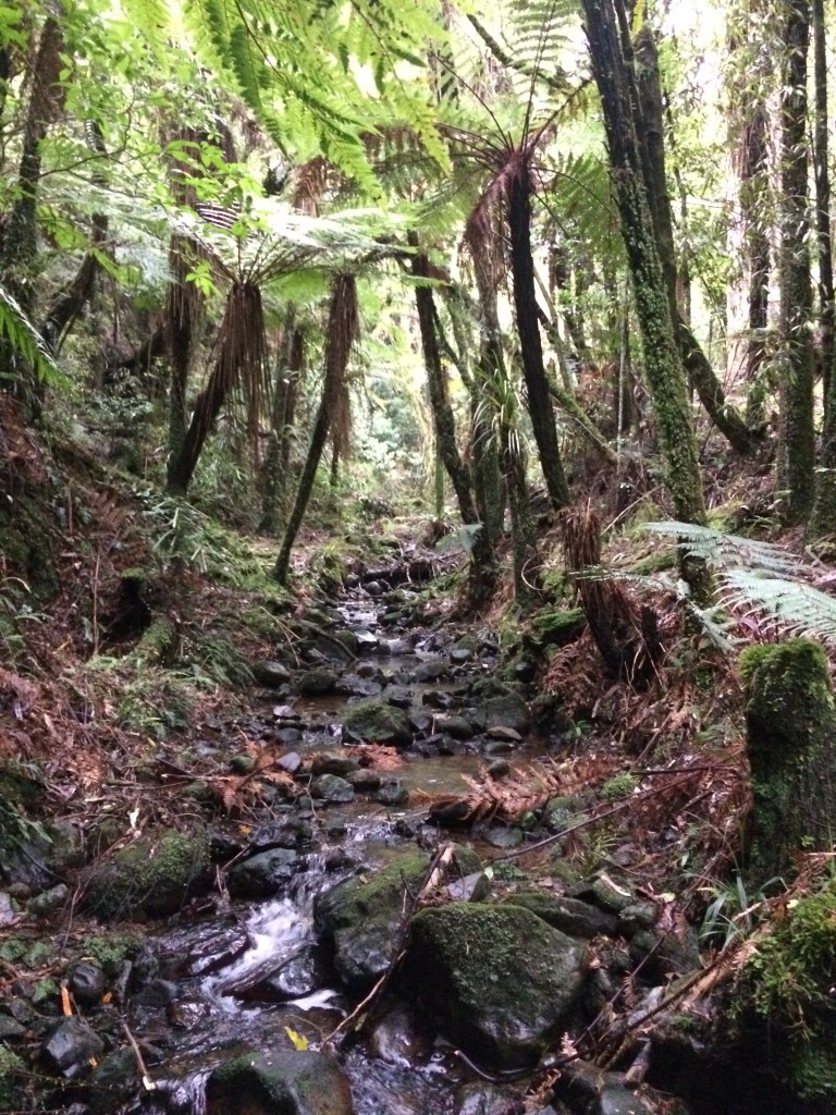


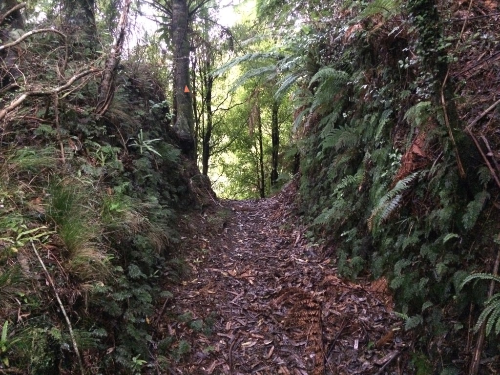

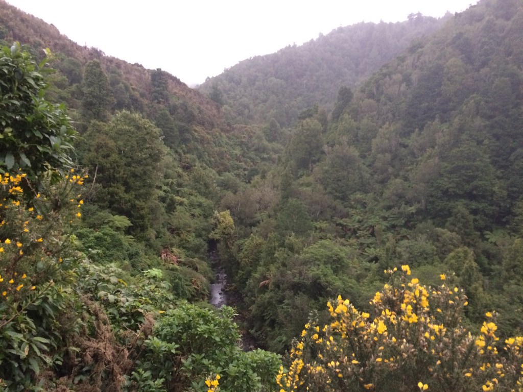


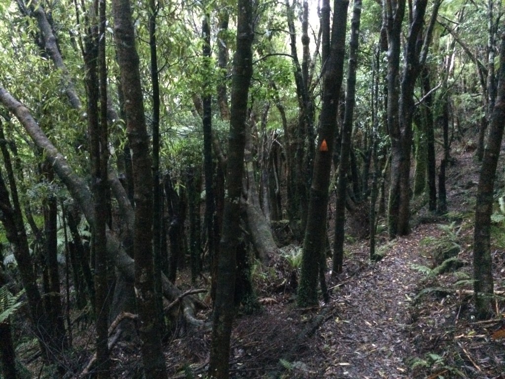


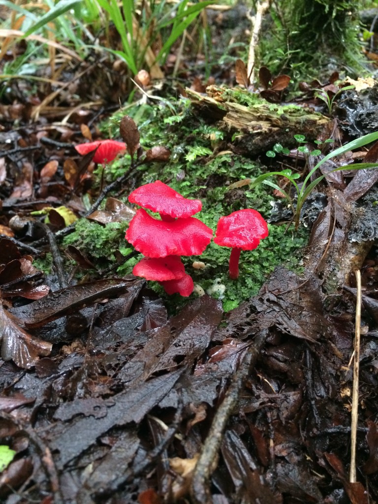
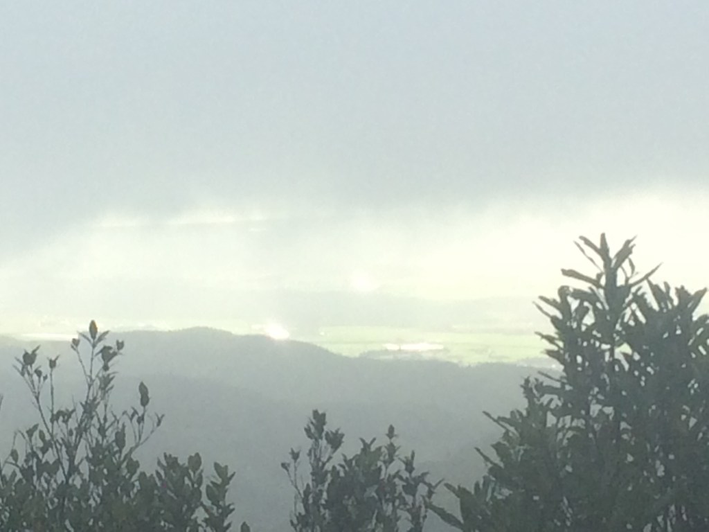

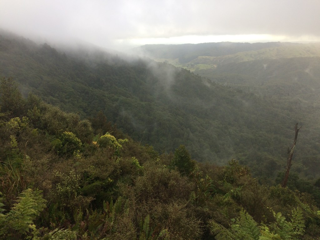
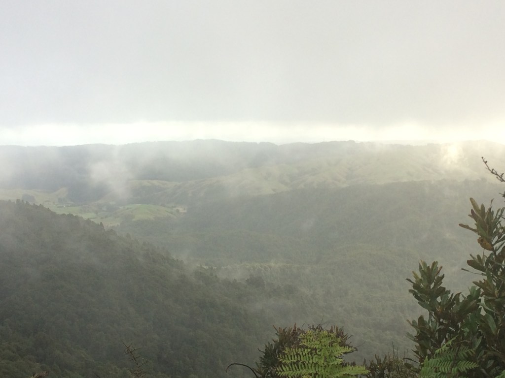

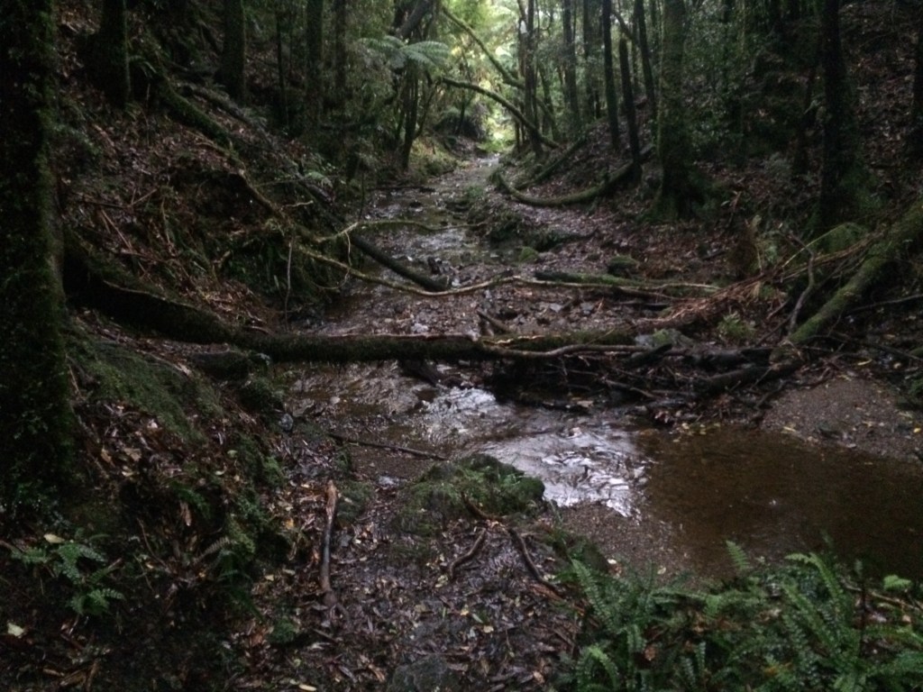


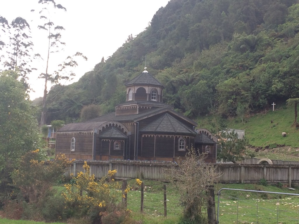


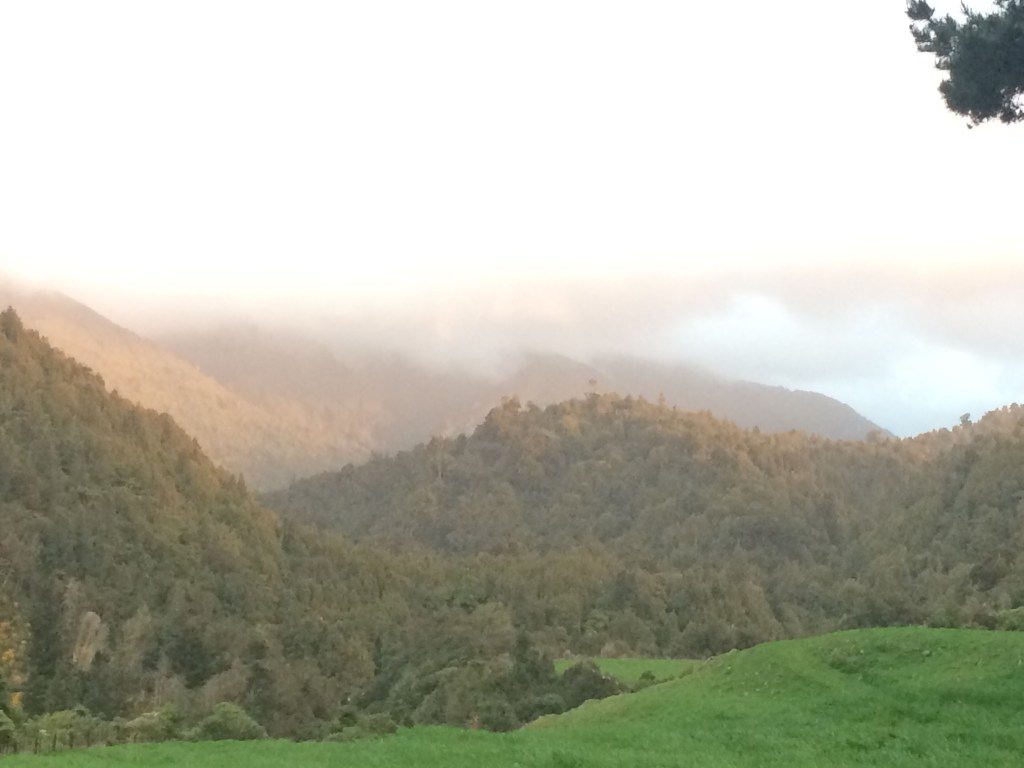


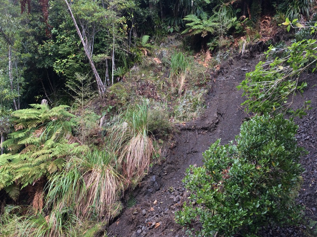

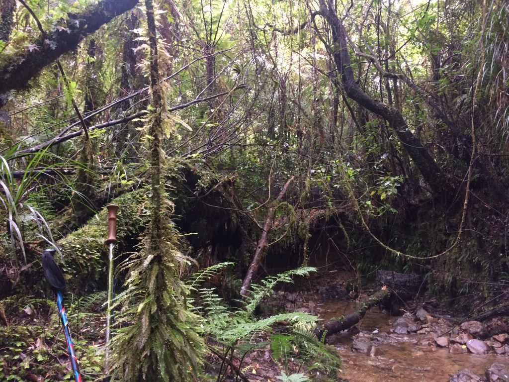
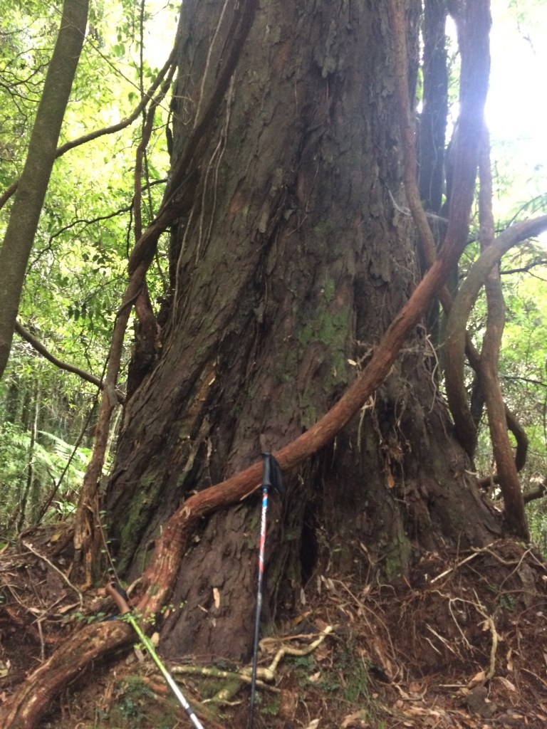
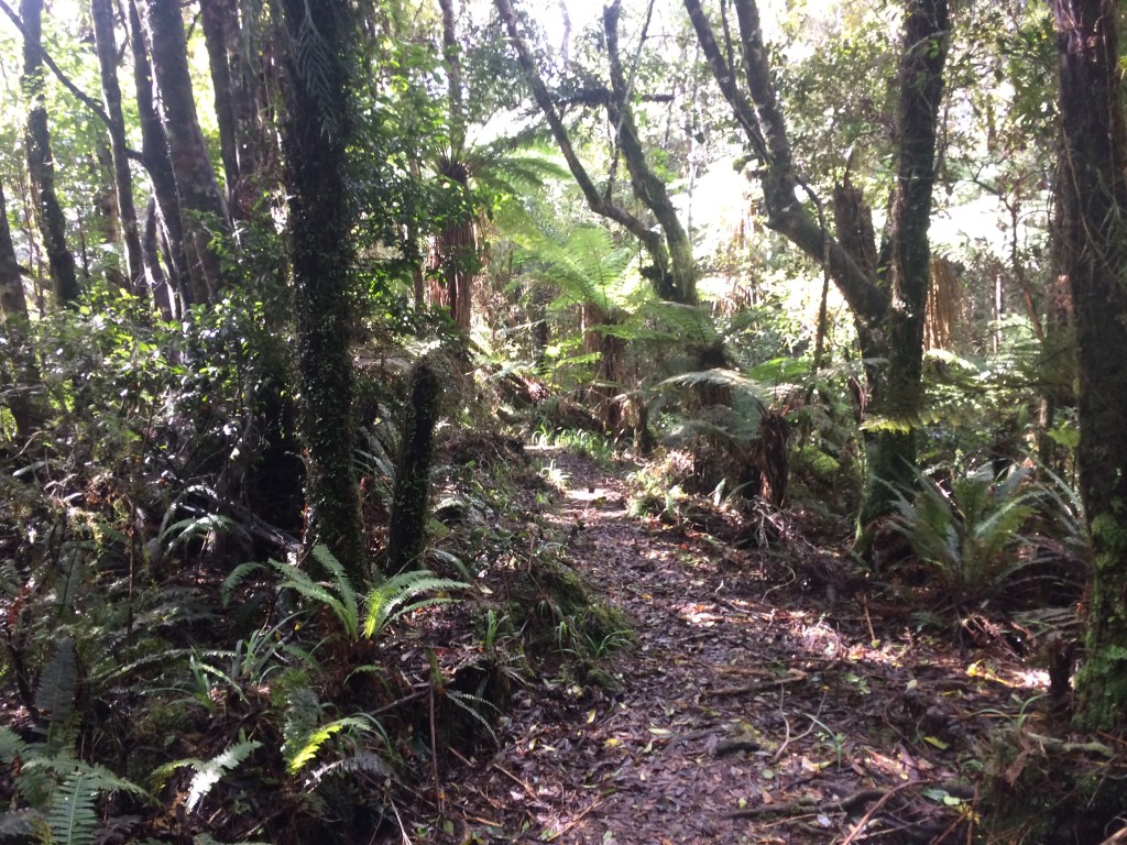

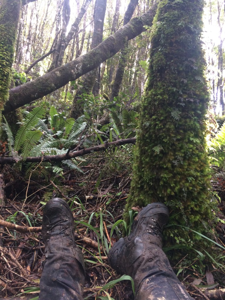

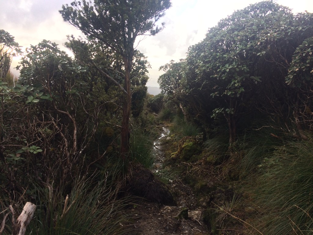


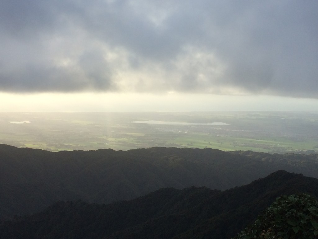
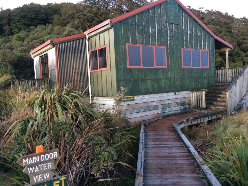
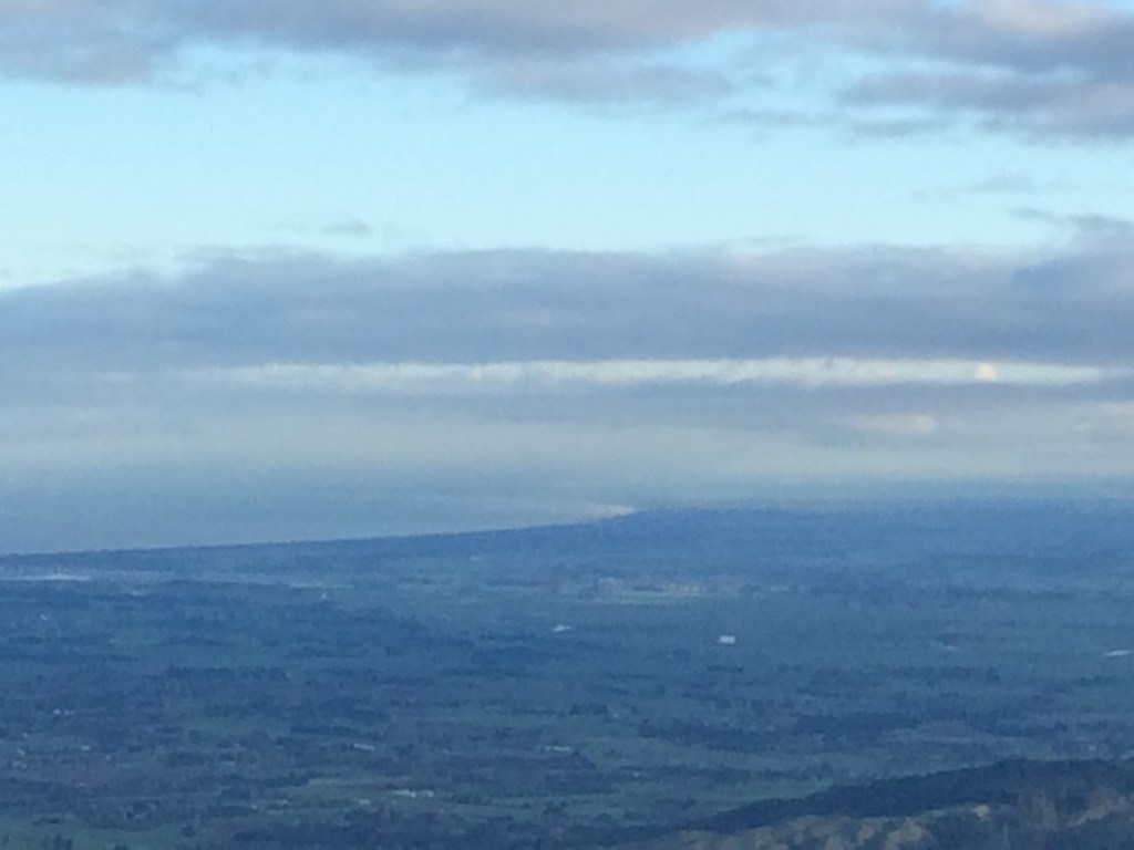


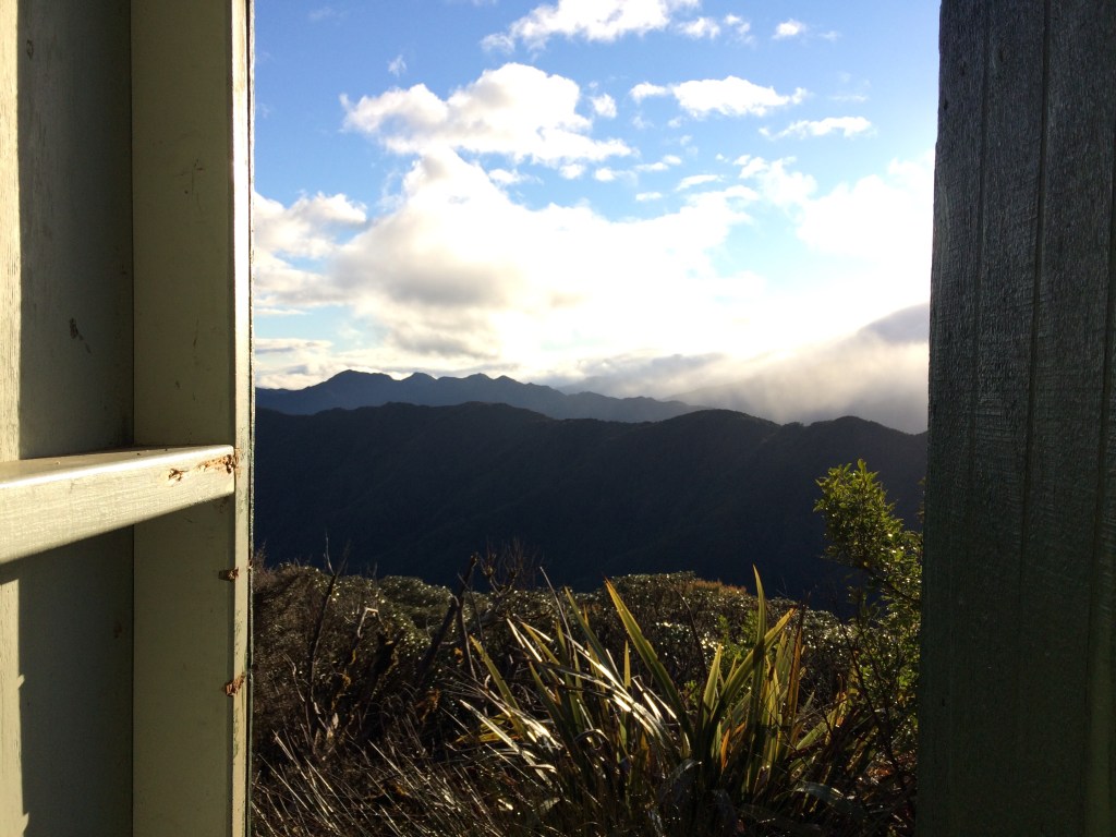


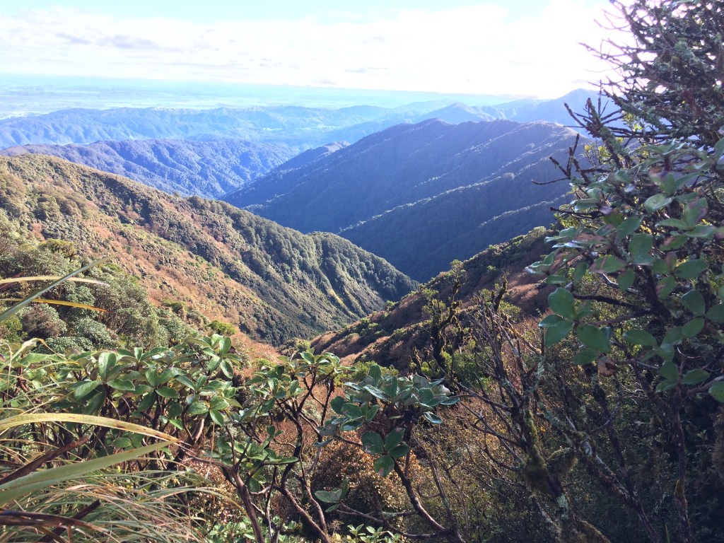
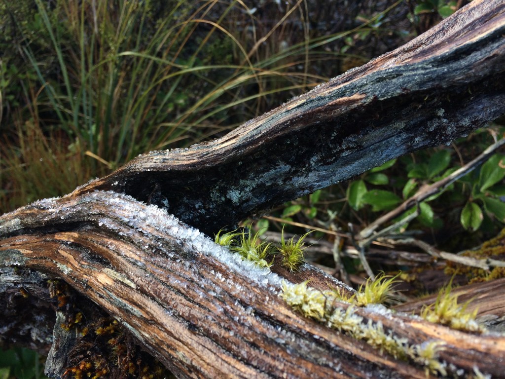
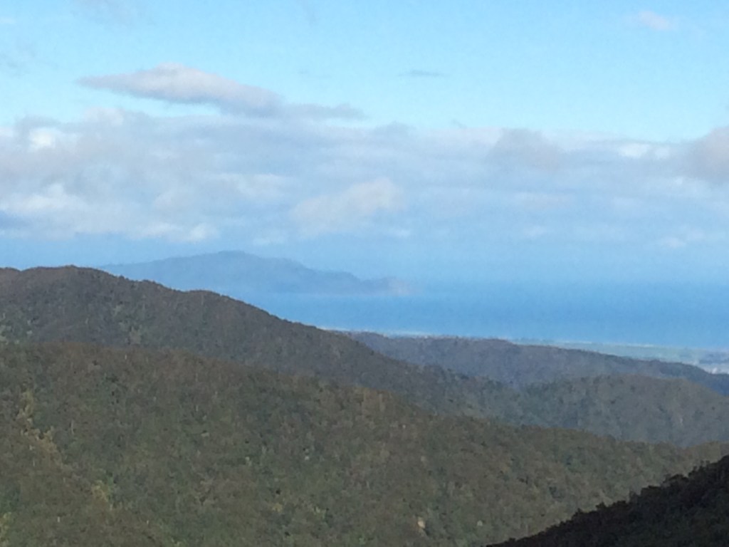


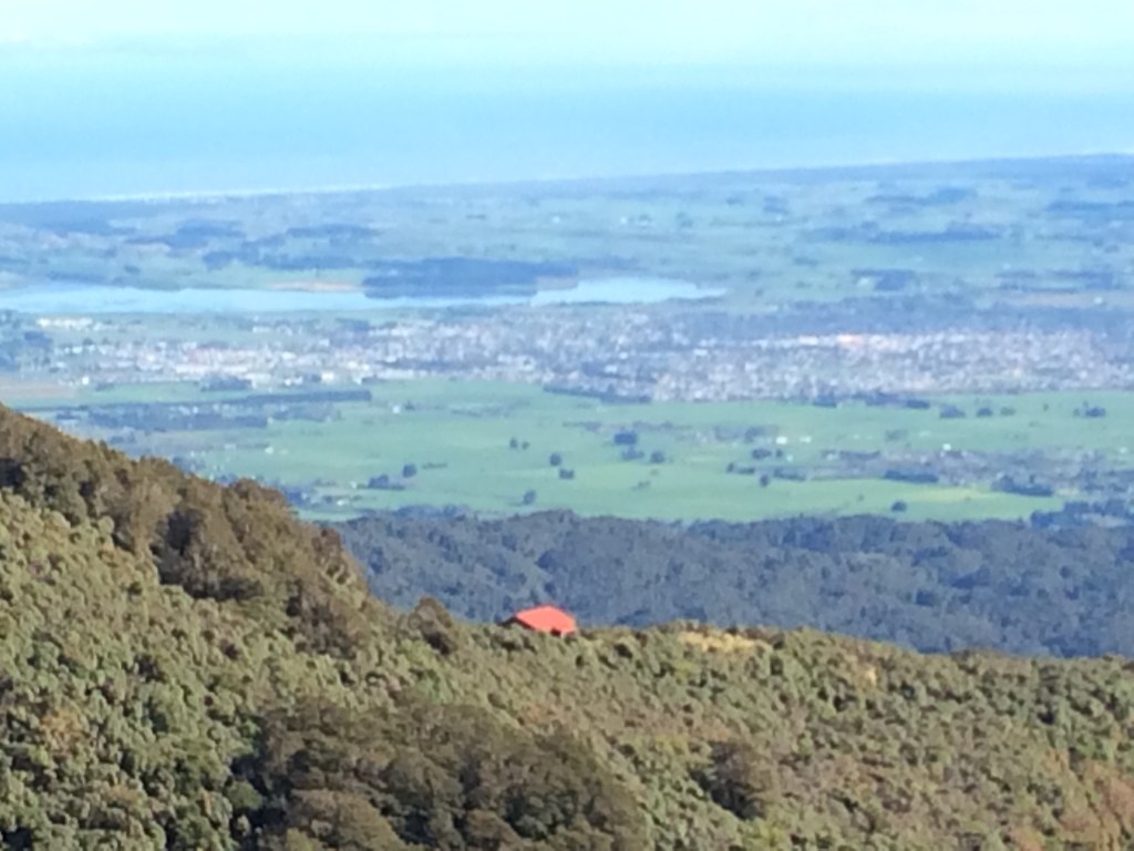


