

“Wow, it’s like winter will never come!” was the kind of thing everyone in Wellington was saying, basking in the balminess of early June, 2021.
Lulled by that amazing weather, I booked two weeks’ leave and set off for my first attempt on this section of Te Araroa. Sadly, winter did come – the moment I started walking. The plan had been to tramp from Turitea near Palmerston North to Waikanae, about 120km. But I only did a paltry 45km, before being talked out of continuing by Makahika Outdoor Pursuit Centre co-owner John Duxfield.
“Wait for spring,” was his advice back then. “Or even better, summer.”
Now it was spring, and I had some more leave. The weather still wasn’t playing ball, but my feet were itchy for a long solo walk. I’m trying to do the whole of Te Araroa as continuously as possible, all north to south, and all in order. But this time, I decided any progress on Te Araroa was better than none, or I’d be 90 when I got to Bluff. So I’d do the easy section from Ōtaki to Wellington first (you can read that section here) and come back to the dodgy bit the following week, when a weather window looked to be opening.
A few days after arriving in Wellington, footsore and tired from six days and over 100km of walking, I’d had a good rest and thought the weather was looking… not exactly good, but maybe not lethal. I rang John.
“It looks like it wouldn’t be completely daft,” he said. “You probably won’t see a lot until the third day. But it looks just cold and damp, not a screaming gale.”
So that’s how I came to be standing on the side of a gravel road in late September, outside Makahika, in the Tararua foothills about 15 minutes east of Levin.
I’d driven up that day from Wellington to the Otaki Gorge road end car park, where I planned to finish this section. From there, I’d arranged to be picked up and taken through to Makahika by a transport provider listed in the Te Araroa trail notes.
He drove away with a cheery toot, and I was alone again in the quiet afternoon, in the shadow of the mountains.
Day 88: Makahika Outdoor Pursuits Centre to bush line, just past Poads Road end (6km)
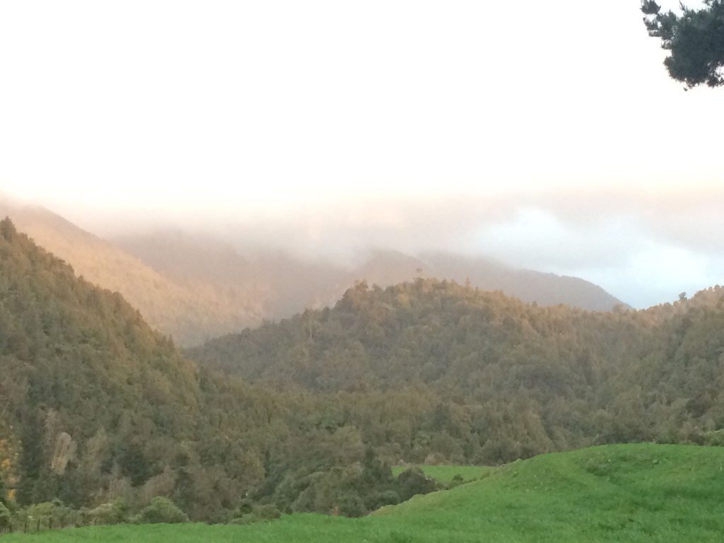
First up was an easy, flat few kilometres along Gladstone Road, a detour around a recent slip notwithstanding. As I scooted along I cast a pensive eye up toward the ridges I’d be traversing in a day or two. They looked a bit forbidding.

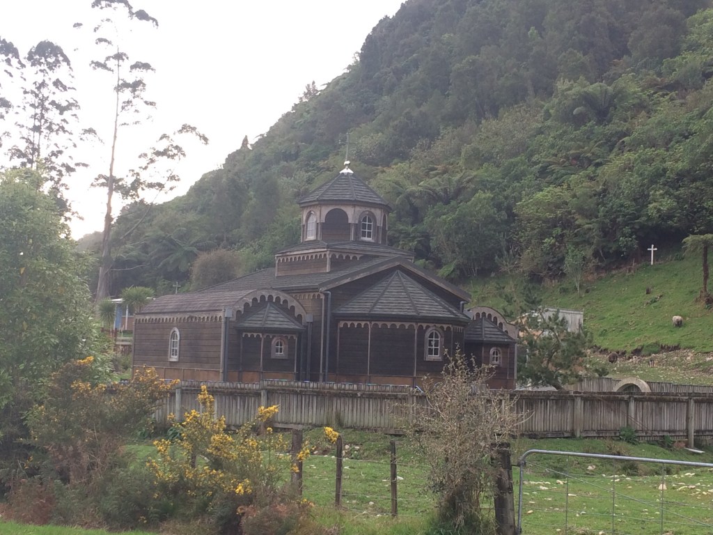
Just before the intersection with Poads Road you pass a Greek Orthodox monastery, peaceful in its nest of forest.
Turning left into Poads Road, you are now heading straight toward the bush, following the Ōhau River. The setting sun lit up a farm’s trees; it was still too early for blossom.

After a couple of kilometres you reach the end of the road and an info panel detailing where you can go in the ranges from here: pretty much anywhere, if you’re well-equipped and have plenty of time.

I took a last look back the way I came, at the road, powerlines and pylons. No more of that paraphernalia for the next few days. It’s always exhilarating and a tiny bit frightening, on some cave-person level, to turn your back on the built world and walk into the wild.

The first kilometre or so is across farm paddocks. It’s important to stick to the route, which only exists by the farmer’s generosity. And there it was, the proper unforgiving wild.
I met a group of three teenage boys and an older man, coming the other way, carrying rifles. They told me to watch out for a big slip three kilometres up the route I would be taking in the morning.
“It looks like people have scrambled across, and we thought about it. But it looks really dodgy,” one said.
I thanked them and kept going; something to consider in the morning.
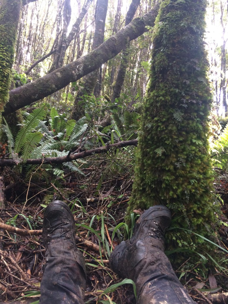
I found a good spot at the bush line, pitched my tent and took in the sunset.

It was an easy scramble down to the river to get water. The Ōhau Gorge was a temple of moss, stone and pewter-coloured water in the last of the light.
After dinner it was bliss to fall asleep on the edge of the forest.

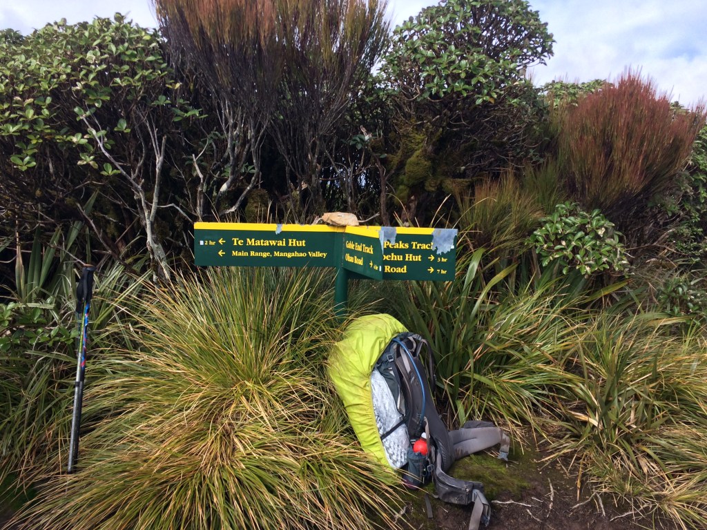
Day 89: Bush line to Waiopehu Hut (about 14km, including back-track)
I broke camp early, then hesitated a while at a track junction five minutes from my campsite. Should I take the designated Te Araroa route up the Ōhau Gorge and the Gable End ridge to Te Matawai Hut, and risk not being able to get past the slip the hunters had warned me about? It would be quicker and easier than the alternative, a longer route up a spur that begins at this junction.
I wanted to get up to the tops as soon as possible, to lessen the chance of the weather closing in on me.
I decided those hunters had looked a little on the inexperienced, over-cautious side. I wasn’t carrying a blunderbuss, and maybe I had more bush-bashing experience than them. Maybe the slip would look less imposing to me.
After about an hour I reached the slip. The photo doesn’t really do it justice but it was, in fact, pretty flipping imposing:
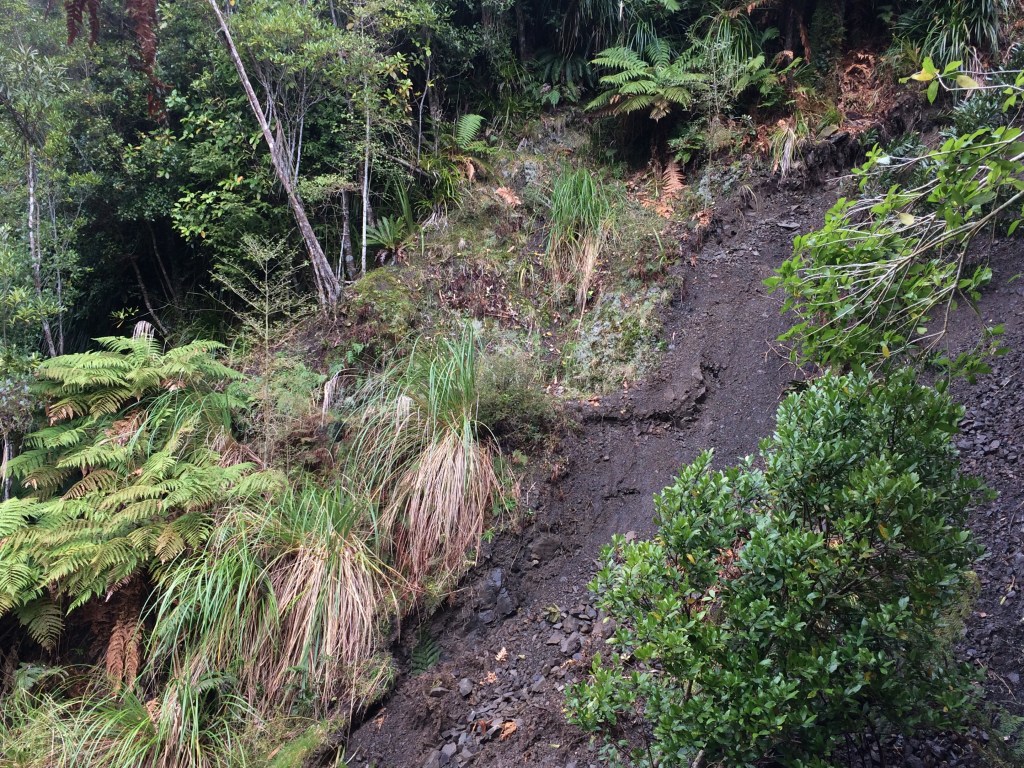
It was a good ten metres across and thirty or forty from top to bottom. From where the track was bitten off on my side, it was about three metres down to a steep, muddy, scree-covered, slippery-looking slope. If you could drop down to it somehow, there was no way of knowing whether you’d be able to get a grip or just keep sliding into the river, out of sight and a long way below. If you did get across, it looked like it wouldn’t be too hard to make your way up onto where the track continued. But the getting down onto the slip was the problem.
I shrugged off my pack and climbed up as far as I could; I couldn’t see anywhere that provided a safe entry point to the slip. Near the top, the slope was essentially vertical – so I couldn’t bypass it above.
I climbed back down to the track and then carried on below it a short way, but found the same problems.
I sat down a while on the lip, my legs dangling, eating nuts and drinking water, examining my options.
The alternative route to Te Matawai Hut via Waiopehu Hut would be several hours longer, including backtracking over all the ground I’d made that morning. Six kilometres, by the time I’d done that bit twice. Plus the several extra kilometres of the longer route itself. I’d lose at least half a day.
(The Waiopehu track used to be the Te Araroa route. It was changed to this shorter, steeper way, cutting out Waipoehu and going direct to Te Matawai, presumably because it’s a quicker way up onto the main north-south ridge.)
I hate turning back. But sometimes you just should.
If I tried to get across and slipped, I could disappear into the river without a chance to set off my locator beacon. Or I could snap an ankle and have to be evacuated, before my adventure had really started.
It would’ve been different if I hadn’t been alone; you could lower each other down, help with foot holds.
I sighed. Discretion was the better part. Back I went.
It’s a steep old bit of country; it’s easy to see how bits of track get waterlogged and slip off.

I stopped by a creeper-tangled tributary of the Ōhau for a cup of tea.
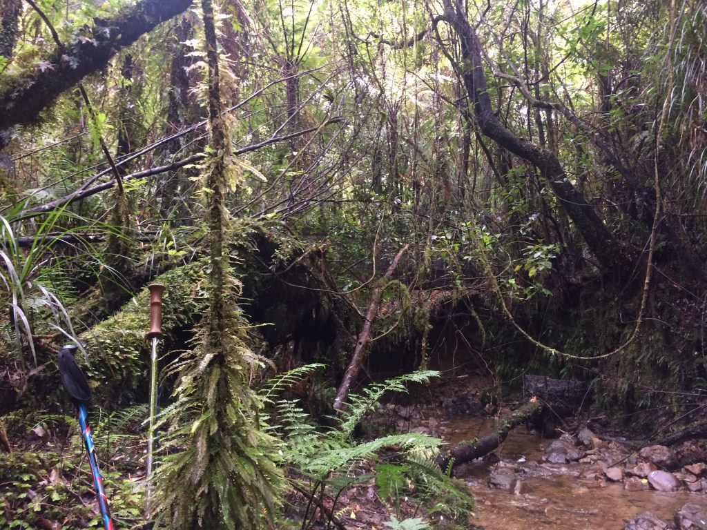
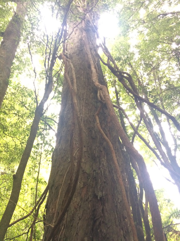
Then it was straight up onto the spur that leads to Waiopehu. Finally I was underway properly. Some giant trees, replete with rampant climbing vines, made me feel a bit better.
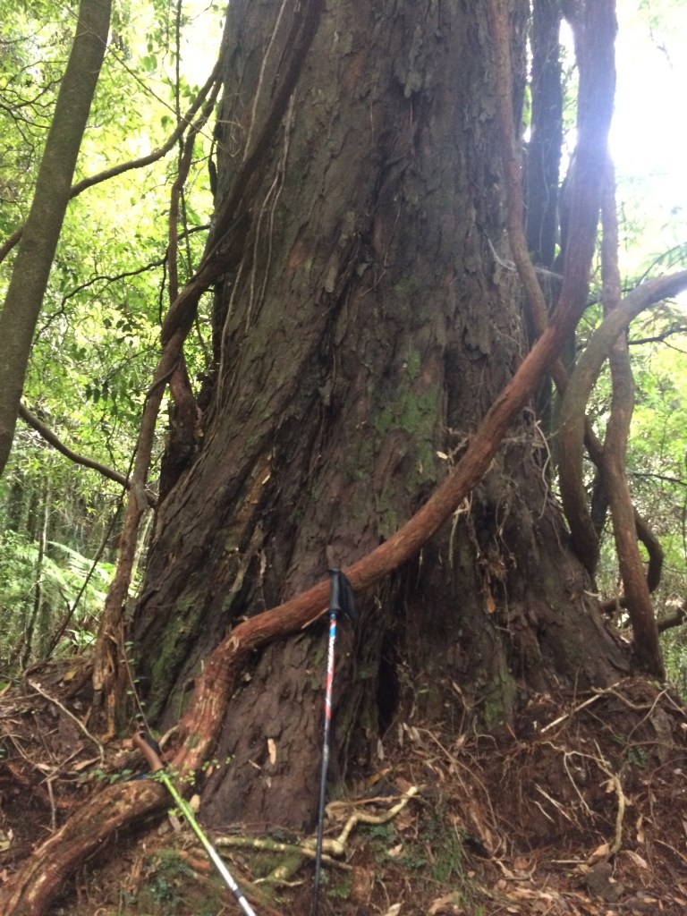
It’s always a thrill to be among such enormous living things.
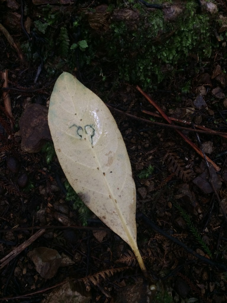
I started noticing small paterns on the white underside of certain fallen leaves. Some sort of burrowing insect seemed to have a penchant for feeding in swirls, spirals and circles. On this one, I detected the sketch of a heart. That cheered me up too.
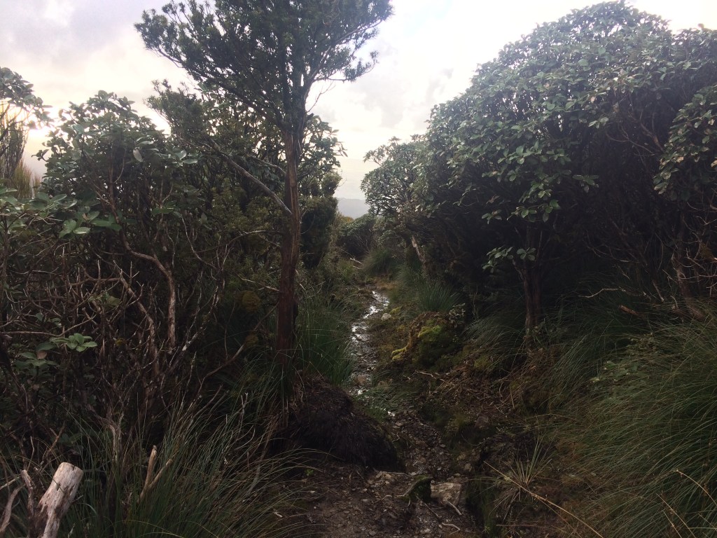
It was great being back in the tumbling, exuberant, prolific forest.
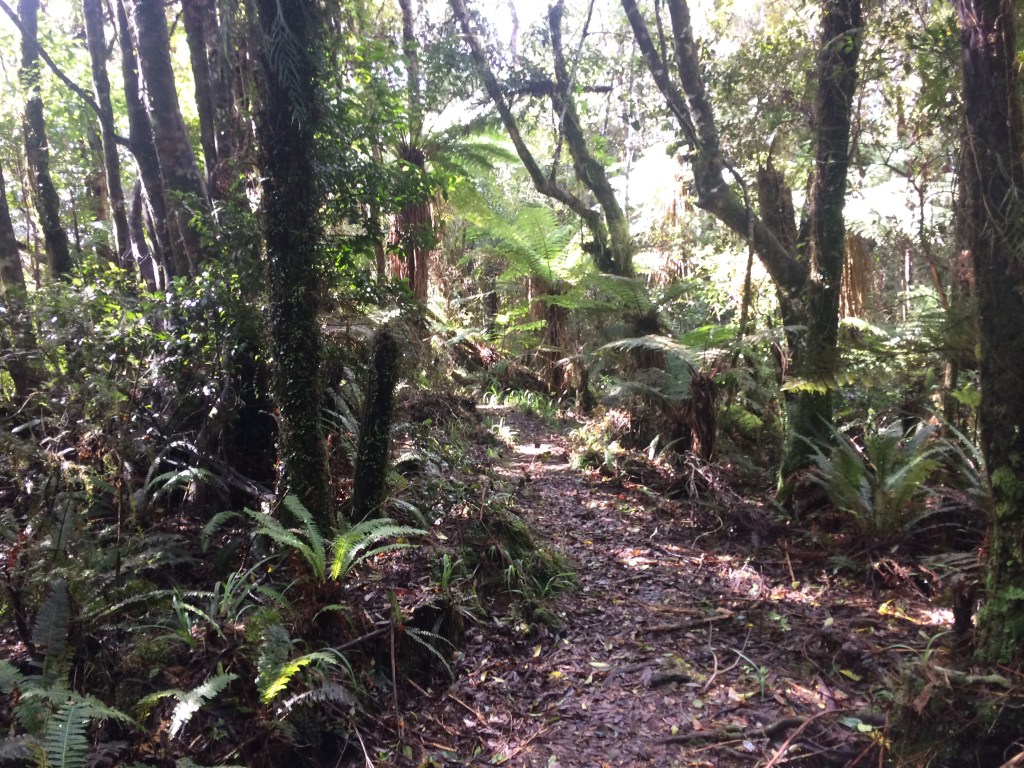
As the track climbs steadily up the ridgeline, the bush thins, becomes willowy.

As always, the coffee breaks were among the best moments.
I reached a spot called, on the map, “Bush Corner”. There didn’t seem to be a corner there, or any other distinguishing feature. Later in the hut book I’d read a comment that summed it up: “Bush corner is a state of mind.”
A bit futher along the canopy broke briefly for a glimpse of cloud lying heavy over vast, dark swathes of bush.

It’s an unrelelenting, muddy slog, up and up, but eventually I came out in the subalpine zone – low, gnarled shrubs, a stand of leatherwood, tussock.
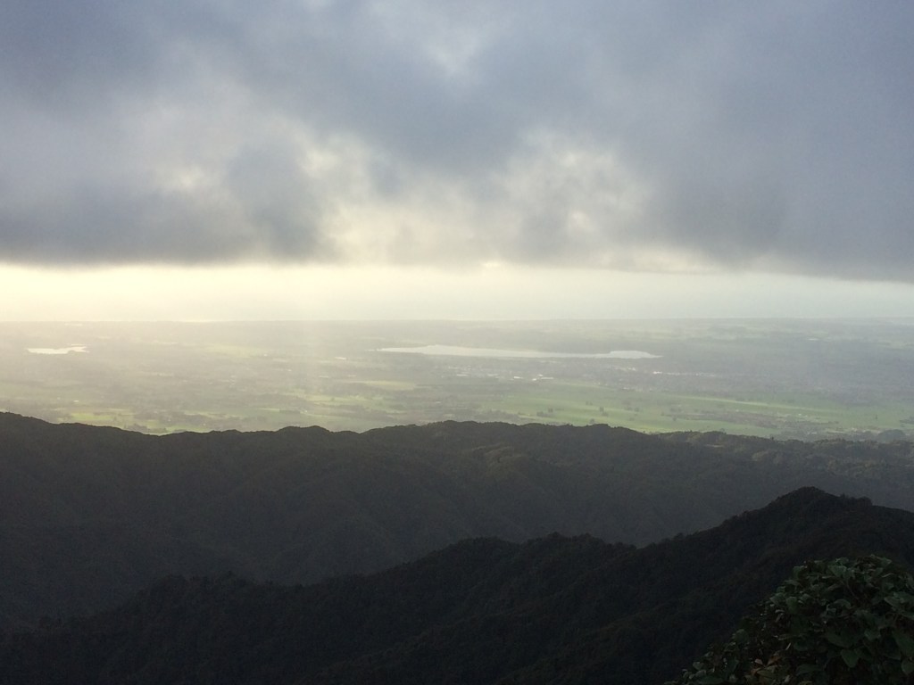
Then the bush began to drop away altogether and the views opened up.

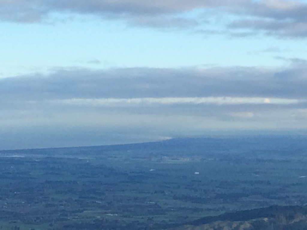
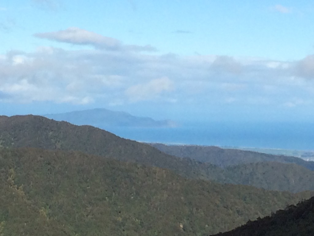
This is the Gladstone Road valley, where I started walking the afternoon before.

And further to the west, Levin, with Lake Horowhenua at its back, and then the Tasman Sea.
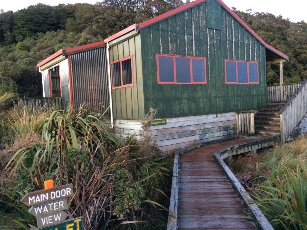
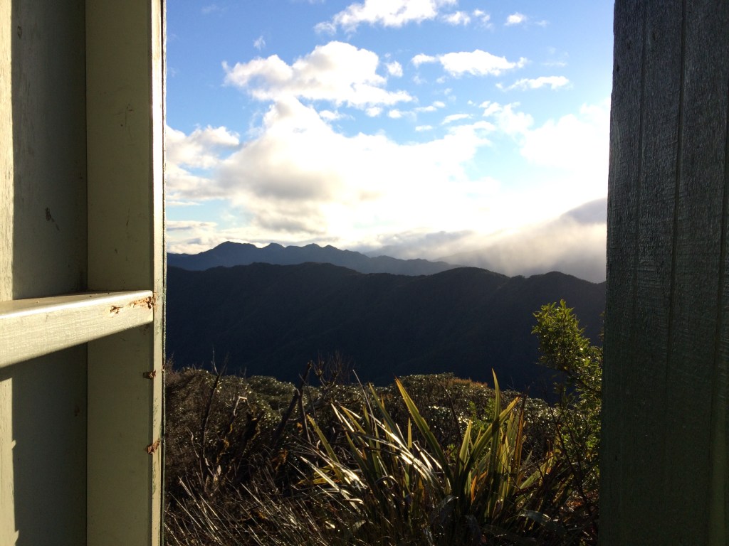
A few minutes further on was the hut, at just under 1000 metres above sea level. And I could feel that I’d walked most of those.
I liked how the sign detailed the important amenities: door, water, toilet, view.
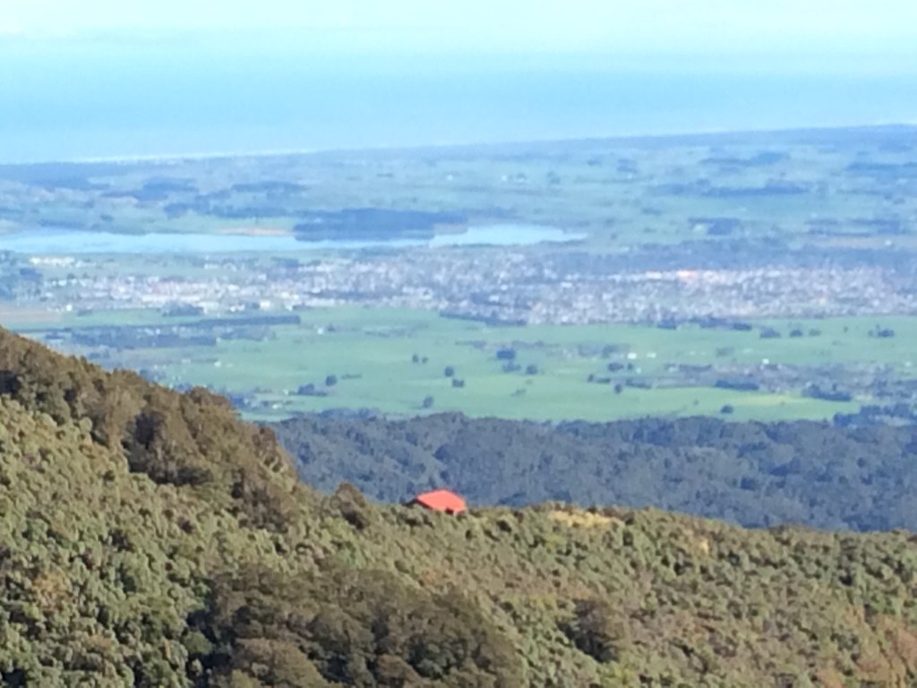
And what a view. From the hut’s ample deck, you could can see the curve of the island, from Horowhenua to Manawatū and Whanganui.
As the sun set, the sea shone like brass between the clouds and the darkening land.

I always find it a sweet, lonely feeling, seeing the first lights come on far away, way down on the plain.

It was very cold in the hut once the sun went down. I put on all the clothes I had, ate and got into my sleeping bag pretty quickly.
Day 90: Waiopehu Hut to Te Matawai Hut (5.5km)
The sun was out in the morning and the views were even better. It’s hard to see in this pic, but a snow-covered Mt Ruapehu was visible on the horizon.

The view from the dunny wasn’t bad either.
And this was where I was going: Pukematawai, at 1432 metres a pretty challenging climb. Hopefully that cloud would lift by the time I hoped to be standing on top, the next morning. That would would make it worth the effort (not to mention safer).

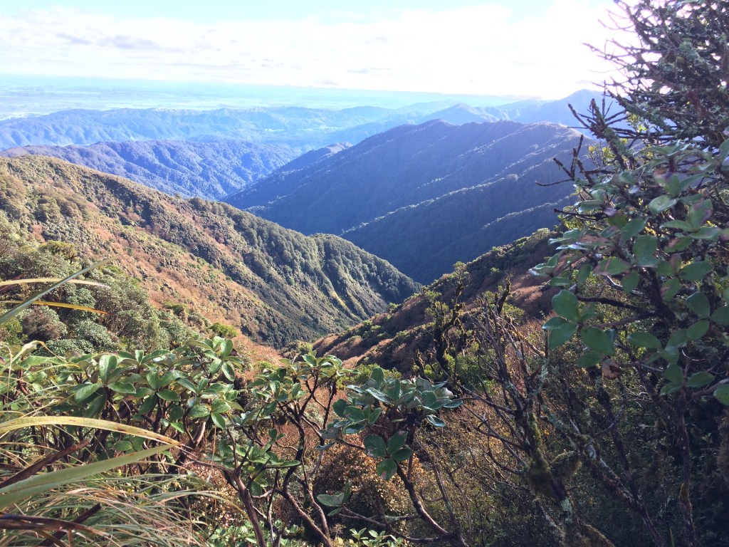
First I had to get up Waiopehu itself, the peak behind the hut. At 1094m it didn’t take long. New views opened up, and a few flurries of snow came down.

This is looking back the way I came. The ridge on the right is the current Te Araroa route to Te Matawai, the one I’d planned to take – Gable End Ridge. Instead I came up the one on the left. In the valley between them is the Blackwater Stream; the slip where I turned back is close to where that stream enters the Ōhau River.
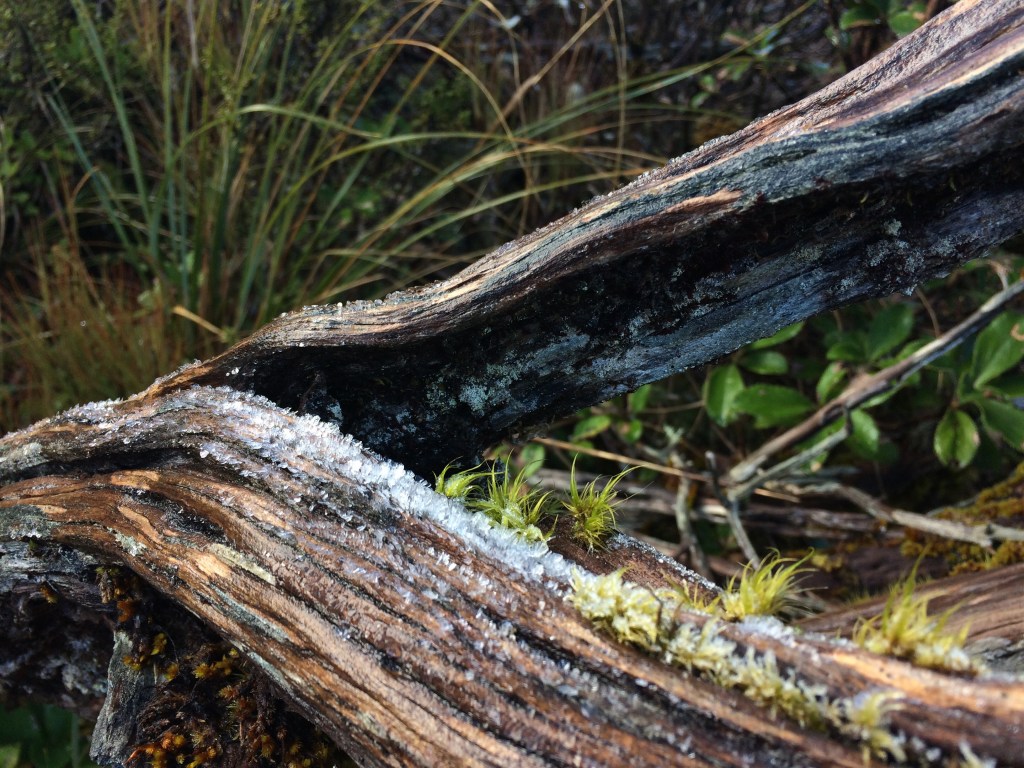
There was ice on the tussock and mud, and on the leatherwood.
I was enjoying my first time up here; Waiopehu is a peak I’ve often heard of – the state high school in Levin is named after it, and it dominates the view of the ranges from that town.
Kāpiti Island hove into view:
Then I was down off Waiopehu and heading up a similarly sized and shaped peak right beside it, unimaginatively named Twin Peak. Here’s the view of Waiopehu from there, with some ice in the foreground.

There’s a memorial cross to a tramper who died; “rosemary for remembrance” says the plaque. It was a good reminder of the risks up here.

With each step I felt myself getting deeper into the profound, huge quiet and stillness of the mountains. I bloody love it.

Here’s a fuzzy view back to Waiopehu Hut, with Levin and the coast in the background.
From the Twin Peak summit, Pukematawai was clearing a little bit, and the snow flurries had stopped.

There’s a short saddle, complete with Goblin Forest, on the way down off Twin Peak.

Then you’re at Richard’s Knob, the amusingly named intersection of the Gable End and Waiopehu routes.
Now it was time to lose a lot of that altitude I’d gained since yesterday morning, to go down onto the Butcher Saddle, the 690-metre high “bridge” that takes you from this ridge to the next. It’s a hard truth about tramping deep in the ranges – to go higher, you often have to go lower first.
On the way, more goblin forest.

I reached Te Matawai Hut in the early afternoon. At about 900 metres, it nestles in a little north-facing hollow just off the ridge that was filled with sunshine, but still bloody cold.
There’s a heli pad nearby where I could get cell reception, and I checked the forecast. More snow coming, down to 700 metres; and gales on the tops, by the looks. My heart sank. The weather window, which John had said might make going onto the tops “not completely daft”, looked to be closing.
But I was here now. I’d hope for the best, and make a call in the morning.
I had most of the afternoon to rest up and get ready for a big few days, weather permitting. I sat at the hut table wearing all my clothes except my rain jacket, in my sleeping bag, and read my novel.
I had on woollen socks, 2 pairs of merino leggings, a merino singlet, two merino base tops, two merino hoodies, a down jacket, two merino beanies and woollen gloves, and the sleeping bag of winter-rated goose-down. I was warm enough, but only just.
Outside the wind breathed icily through a million trees and I could feel the ancient, enduring bulk of the mountains. It was a bit lonely up there, in poor weather, in the middle of nowhere, in a cold, rough little hut. But it was also quite blissful.
The hut was even more like a freezer once the sun departed. It was too cold to do anything then but eat quickly and go to bed.
My account of this section concludes in the next post. Thanks for reading! You can read about earlier stints on the trail, all the way from the top of the North Island, by hitting “home” at the top of this post.
Ngā mihi.
*Please note that this and the next post are out of sequence as regards to days, as I had to postpone them until after the Ōtaki-Wellington section, due to bad weather. I’ve posted them in sequence as regards kilometres, to preserve the full, continuous, north-to-south, length-of-Aotearoa reading experience.
