
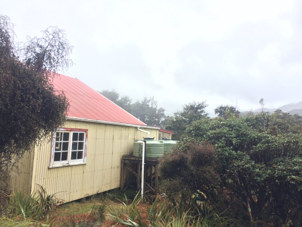
It was hard to submit to sleep in the fridge-like darkness of Te Matawai Hut. When I did, I dreamt of fatal weather, being winched up into a black sky, or curling up, instead, in a ravine. When I didn’t submit, I could feel the hostility of the immense cold night press in on me.
As detailed in the first part of this post, I was on my second attempt at getting along the exposed Pukematawai-Mt Crawford Ridge in the Tararua Range between Makahika, near Levin, and Ōtaki Forks – the most dangerous section of Te Araroa trail in the North Island. It was late September, 2021.
Day 91: Te Matawai to Poads Road via Gable End track (12km)
This was the view that greeted me at freezing first light: the air was thick with snow and mist.
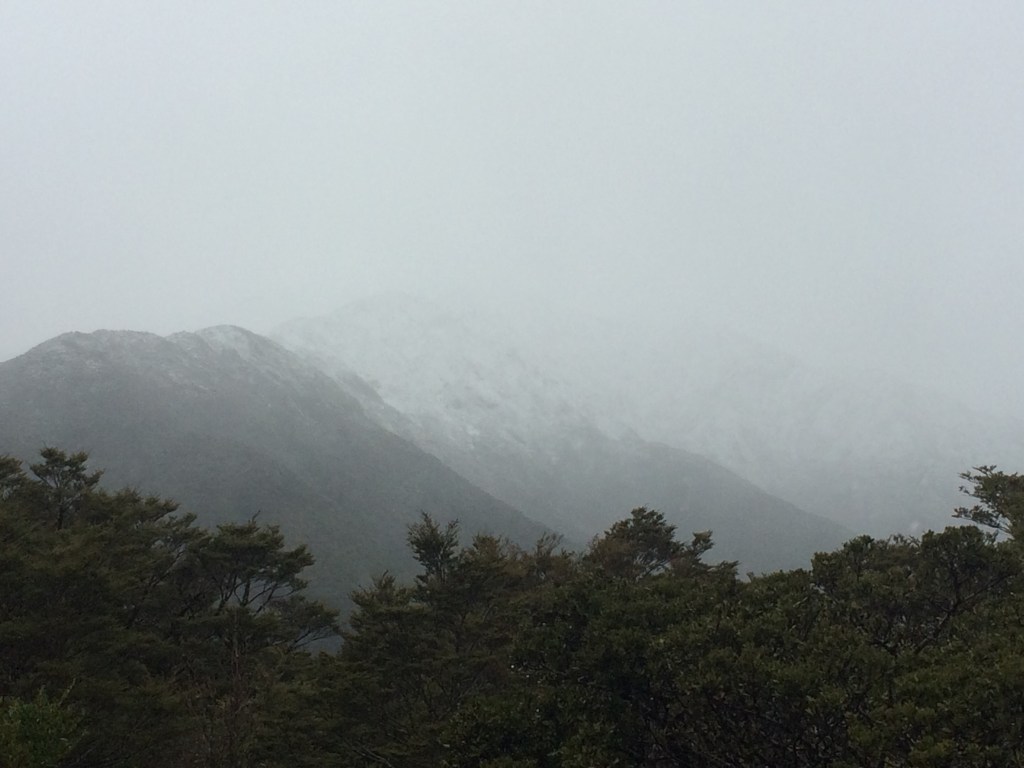
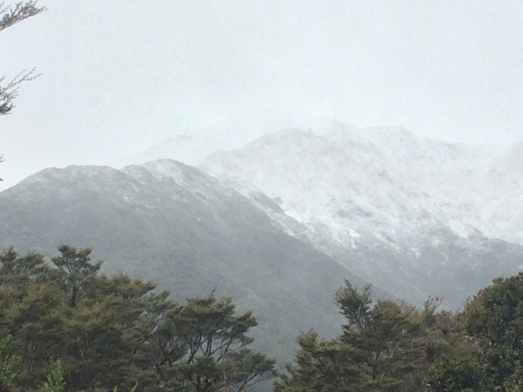
As the day brightened a little I could see the route ahead was snow-covered, and the peak of Pukematawai was completely clagged in. I had spikes to clip on my boots, but they weren’t actual crampons. Nor did I have an ice-axe, nor ropes, nor a companion; and it looked pretty dodgy up there. I could see the writing on the wall.
I had a shivery breakfast, put on all my gear, and went up to the heli pad (where I could get cell signal) for a weather update. From there the conditions looked even more inhospitable.

This was the outlook for that day:

As you can see, Metservice had tagged the post with four of the five possible “mountain weather hazard” icons: rain, snow, wind and wind chill. The only one not forecast that day was thunderstorms. The “becoming fine this evening” thing sounded tempting, but the next few days weren’t great, and trying to get up that morning onto the exposed ridge in rain, snow and gales sounded like asking for trouble.
I could have waited the morning out and tried for the next hut along the route, Dracophyllum, that afternoon, since the weather was supposed to improve. It’s only about five hours from Te Matawai and I’d have an extra hour of daylight, as daylight saving had started that day. But still, I was running out of time – it was Tuesday, and I had to be at work on Thursday.
And the freezing level would still be lower, that afternoon, than the top of the peak pictured below, Pukematawai, which I’d have to go over. Not to mention the rain, which would contribute to a wind chill, Metservice said, of up to 10 degrees below zero. My gut said “don’t do it”.
If I’d had company, it might have been worth a shot. But you have to lower your tolerance for risk when you hike alone. I’ve been on razor-back, snow-covered ridges in icy conditions; it can be pretty hair-raising. I sighed. It was over.
Having left my car at the end of Ōtaki Gorge road, where I’d planned to come out, I needed a new plan. Hitch-hiking in a pandemic seems a bit precarious so I took advantage of having cell coverage to arrange a lift from Poads Road, where I’d been dropped off on my way in.
I went back to the hut, packed up my stuff and, with an effort, turned my back on it and on the trail south. Sometimes the mountains say no, and all that. It wasn’t much comfort.
Now I had to retrace my steps from the day before; always a bit of a drag. The pic below shows the lowest point of Butcher Saddle, where I was feeling pretty low myself. They’re interesting places, though, saddles. They’re transitional, linking spaces, natural bridges, neither here nor there. They have a funny, suspended feeling.
In this case, the land dropped steeply away north and south of a narrow rib that connected two ridges; in front of me, to the west, the rib turned into a spur that rose toward Gable End ridge; behind me it emerged from another spur snaking down off Pukematawai, on the main ridge.

Those leaf-graffiti critters were at it again; here, they preferred to work in spirals.

I slogged back up out of the saddle and onto Richard’s Knob, to be rewarded with fantastic views as the promised fine weather began to eventuate.

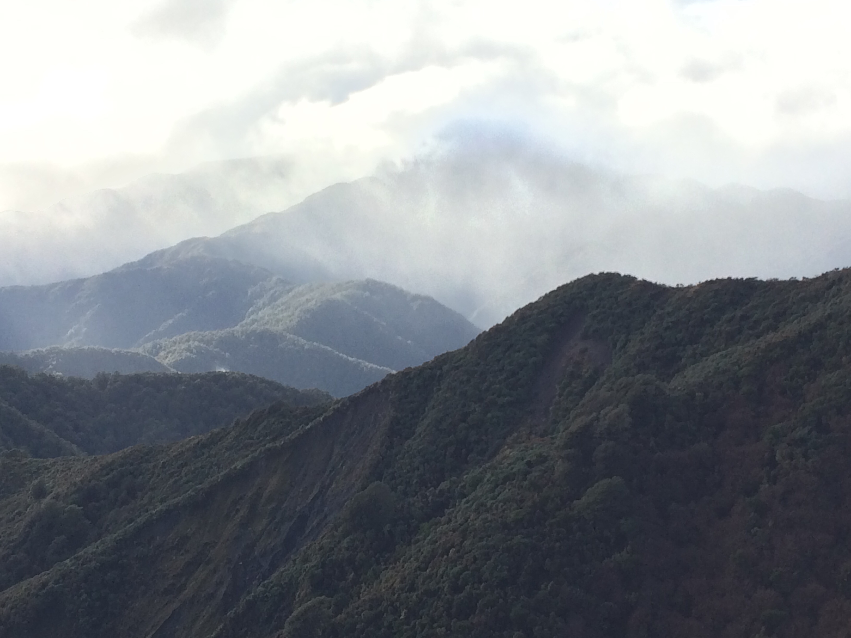
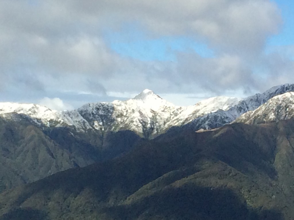
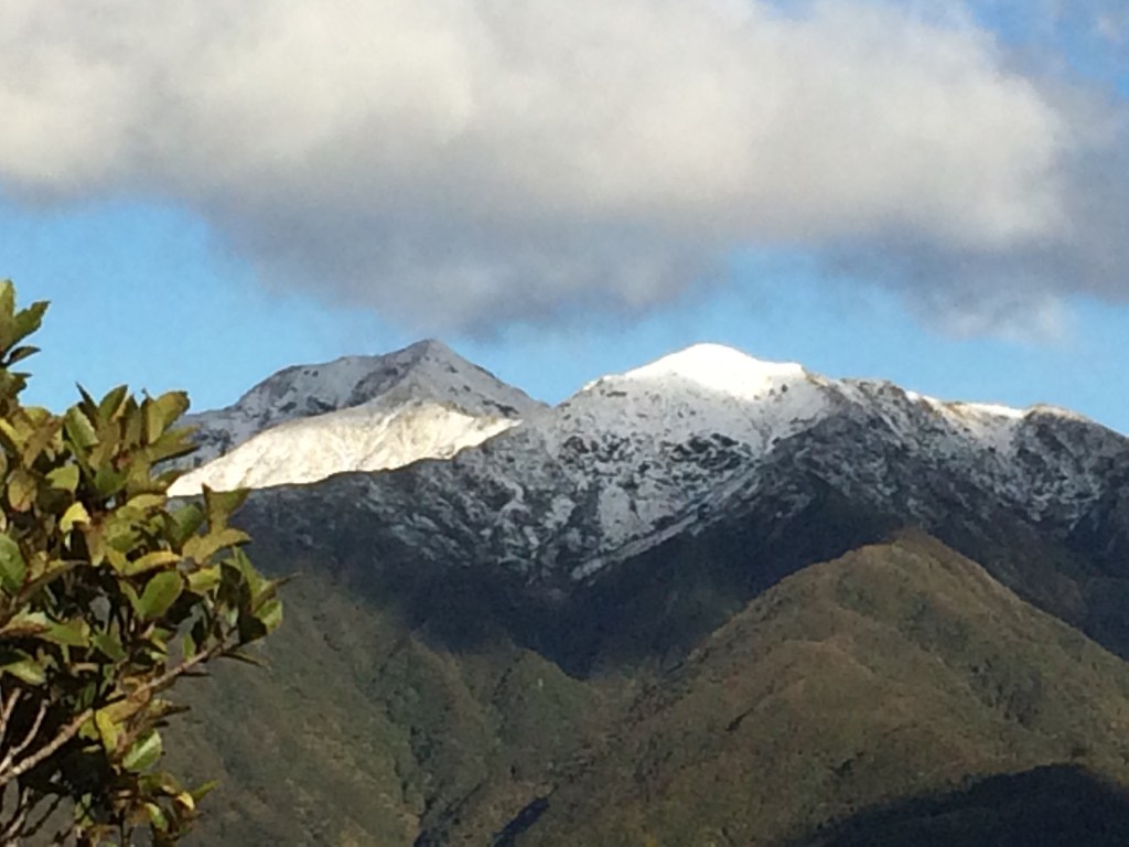
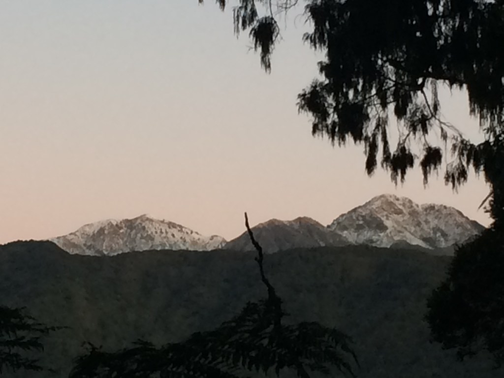
The pic below is of Pukematawai. The low spur in the central foreground is the one I would have gone up if I’d continued. You can see where it narrows to a sharp, steep line just before a small shoulder below the summit, to its right. That would have been pretty intense in low visibility and strong winds, if I’d been able to make my way up it at all, without slipping over constantly. From there the Te Araroa route turns right and goes down that snowy ridge toward Dracophyllum Hut. The peak lit up in sunshine just over Pukematawai’s left shoulder must be Arete, 1505m.

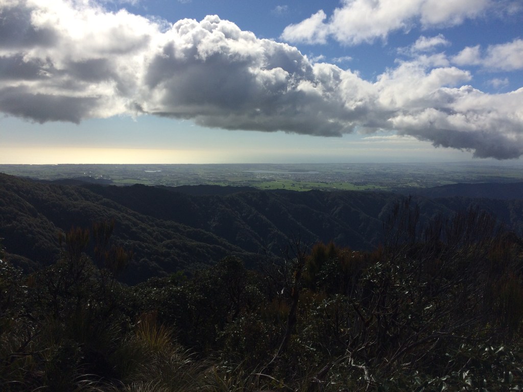
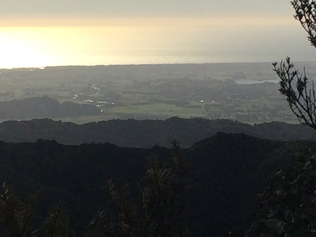
In the other direction, the sea shone off Horowhenua.
At the Richard’s Knob track junction I weighed my options for the way out. I could go around via Waiopehu again, but it would be longer and I’d already done it on the way up. The Gable End route had a slip on it, which had forced me to backtrack on the way in. But it had looked more crossable from this side, and if it wasn’t, there was a detour available via Six Discs Track. So this is the route I chose: Gable End ridge, looking north.

This is looking down off the Gable End ridge into the steep, dark gully between it and the Waiopehu Hut ridge. The stream at the bottom is Blackwater Creek.

Pukematawai was looking princely and accessible in the improving weather and I was kicking myself a bit. Thinking I should have had a crack that morning, then I’d be bowling down those south-facing slopes in the sun toward Dracophyllum right now. But I knew that was silly. I could have just as easily been stuck in ice and snow, or lost because of the morning’s poor visibility.

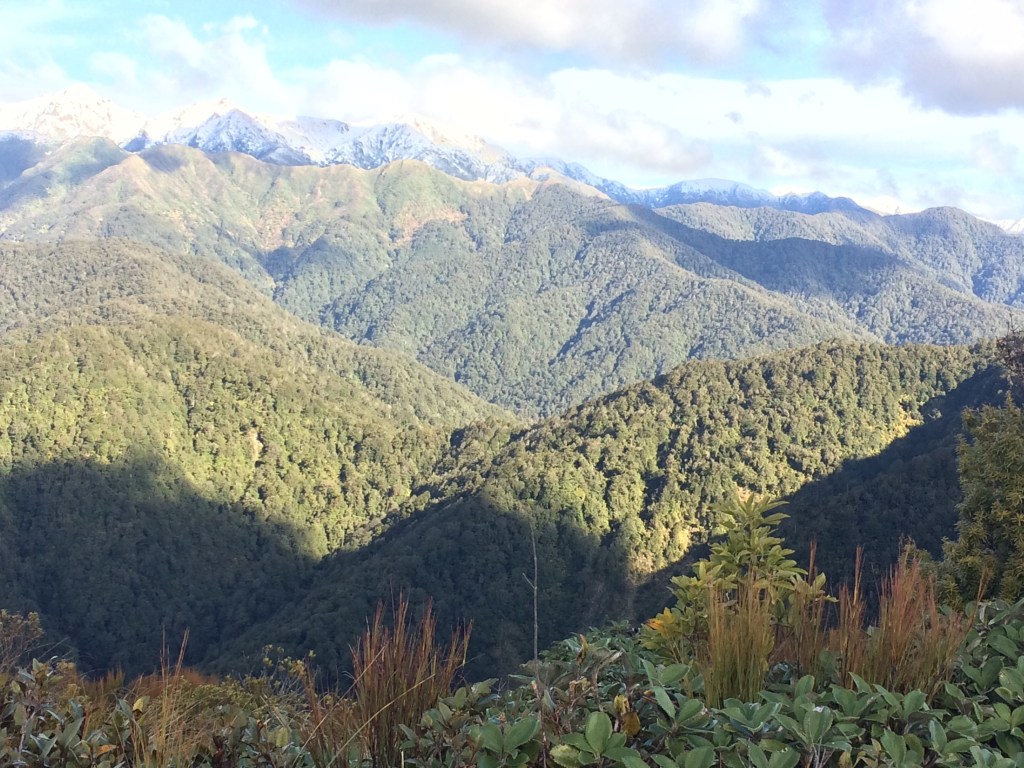
A wider view, below, shows the line of fabulous peaks that run along behind (east of) the Te Araroa route. The undulating green line below the snowy peaks to the right of Pukematawai and Arete is the ridgeline followed by the Te Araroa route; above it are (I think) from left to right, Lancaster (1504m), Thompson (1448m) and Carkeek (1435m). To the left of Arete would be the beginnings of Bannister (1537m).
In the foreground of this pic is the Dora Ridge track down into Butcher Saddle. You can see how, from the saddle, the route rises up then toward Pukematawai.

This pointy one is to the north of Pukematawai (on the left, as I was looking at it), and I think it must be Mt Dundas (1499m).
Going in the same direction, the sharp, sunlit peak to the right could be Logan (1500m) and the shadowed one poking up to the left of it, in the back, could be Dome (1410m).

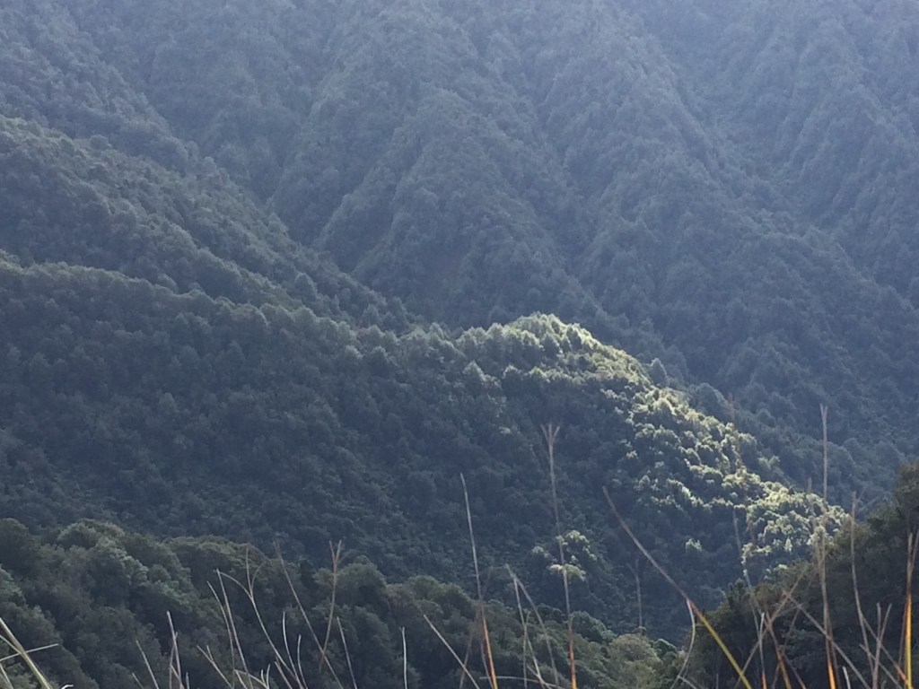
The disappointment began to lift. I decided to just enjoy this sparkling afternoon high up in the hills. For example, I always find these deep, closed-in valleys fascinating – little lost worlds, tangled, trackless places, where few humans have ever set foot. This one just touched by a single fingertip of spring sunshine.
Here’s Waiopehu peak from another angle, and the hut an orange dot below it, to the right.

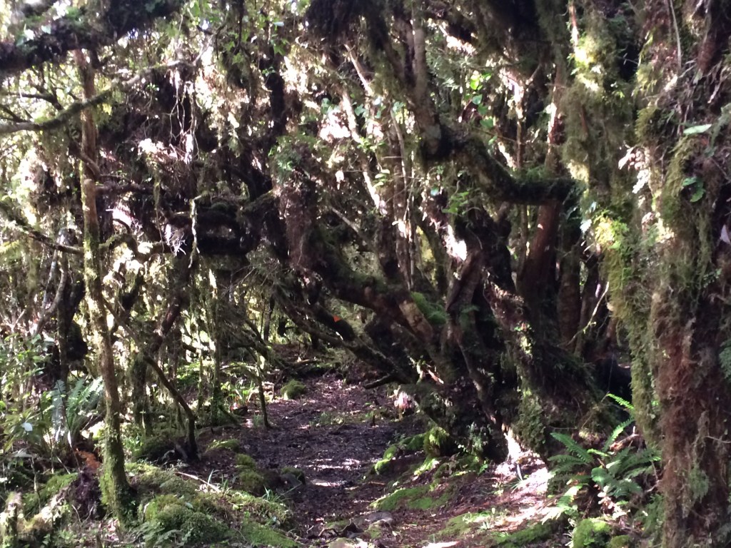
More goblin forest as the track slowly descended, over Gable End and toward Mayo Knob.
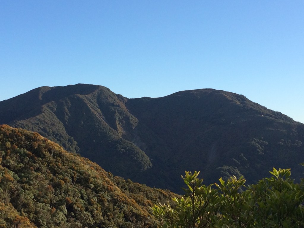
In the distance, the southern end of the ridge Te Araroa takes after leaving Pukematawai: Mt Crawford, 1462m. It looked pretty steep, icy and forbidding, too. There were gales forecast for the next day, when I’d have been trying to get over this (if I’d got that far). I supposed I’d done the right thing.

Here’s the whole line-up, looking as benign as you please. But I knew they would have been less welcoming up close.

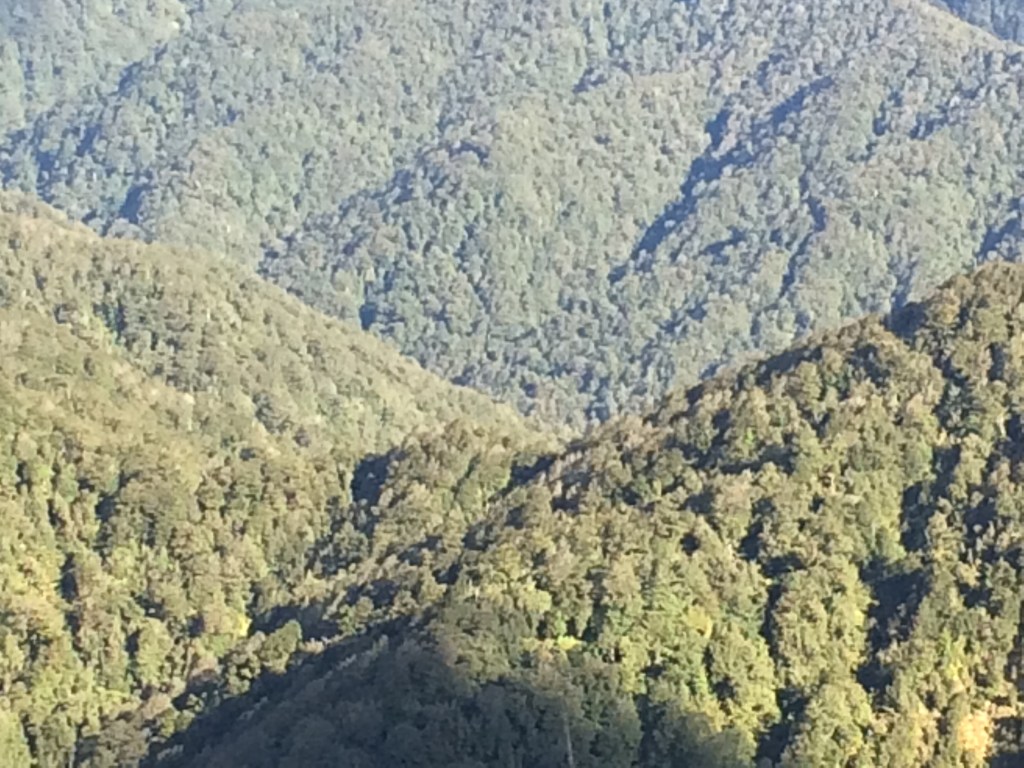
A closer look at that undulating line of the Te Araroa route, below the peaks. This is somewhere around Dracophyllum, I think. That bit would have been very doable in this weather, pleasant even.
A close-up of Butcher saddle – you can see how it drops right down into a V. Time-consuming stuff, getting all the way down, only to have to battle up again.
I think this is where the Te Araroa ridge rises up to Nicholls peak (1275m) and hut. The snowy ridge behind is Carkeek Ridge, I think, or maybe Dorset Ridge at this point.

Here’s a close up of the Te Araroa ridge, with the likes of Thompson, Lancaster and Carkeek peaks behind it.

And here’s a better one of Mt Crawford, with the lower Nicholls on its left. It was looking more and more daunting and I became happier with my decision to pull the plug.

Kāpiti again, with maybe a bit of the Marlborough Sounds over its shoulder.

The afternoon sun began doing its amazing bush alchemy again, making everything glitter:
I had a snack, savouring one of the last of the snowy views.

Night was coming on fast, despite daylight saving, and the sea was lighting up.
As I moved north, Arete began to emerge from Pukematawai’s shadow.
This is Waiopehu peak and Twin Peak; you can just see one of the hut windows shining, on the right.
Gladstone road valley around Makahika is the strip of green parallel to, and between, the bush-covered hills. Behind, the Horowhenua plain.

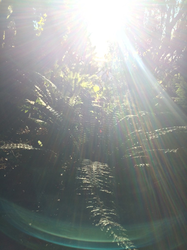
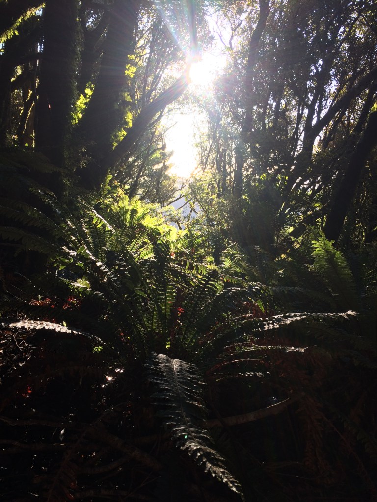
Sun and ferns and shadow.
There’s not a lot to choose between Gable End track and Waiopehu Track, although I was coming down the former and went up the latter so comparisons are a little odious. But I thought maybe Gable End was dryer, if more rooty:

I was getting lower but there was still plenty of big, mature bush, framing snowy peaks:

Then it was a last glimpse of peaks to the north of Pukematawai. They were briefly rose-coloured in the last of the sun, but I couldn’t quite capture it. I think this may be the two summits of Bannister, on the left and right (1537m and 1513m), with another twin summit, actually called The Twins, in the middle (1440m and 1466m). If not, it’s in their neighbourhood.
It might have just been the spookiness of the deepening dark, but I was struck by what seemed an inordinate amount of teeming growth on this ridge. It seemed a fecund, crawling, lush, overwhelmingly fertile place – trees growing on other trees, wind-fallen boles covered in saplings that shot up and off in multiple directions, vines shrouding whole immense trunks, encasing them, using them as a living scaffold to build a whole new tree.
I turned on my headtorch and felt the night shift coming on as I switch-backed steadily lower: rustlings, shrieks, large things crashing away. At times like these it’s good to remind yourself: nothing in the NZ bush wants anything to do with you.
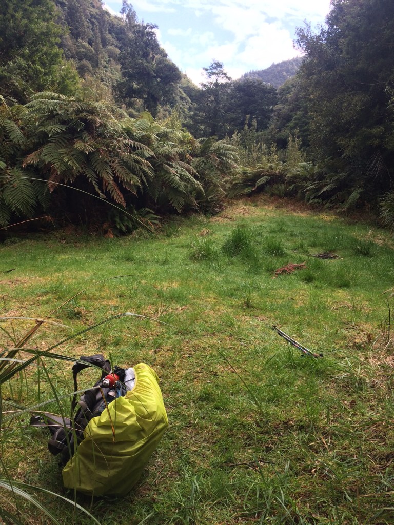
Finally I dropped down off the steep end of the ridge and into the campsite, a grassy, flat area above the main south Ōhau River.
I’d had no water source since leaving Te Matawai so I was pretty thirsty. In the pitch dark it was a hard scramble down to the nearby Blackwater Stream, below its supension bridge. And even harder struggling back up, carrying enough water for the night.
Then I got my tent up and leaned against saplings growing from an old stone fireplace beside it to make a late dinner. A remnant of an old logging or farming operation, I supposed. I ate my noodles and drank my peppermint tea, listening to the creaking, living bush all around.
A wonky-looking possum shambled out into the grassy clearing. Ignoring me, it grazed on the grass and poked drunkenly around, presumably for bugs. It was odd how indifferent it was to me, as if stunned, and how awkwardly it crawled away after a while. I wonder if it had been recently poisoned.
I took a last long look up at the huge bowl of ice-bright stars, and turned in.
Day 92: South Ōhau campsite to Poads Road end (4km)
I had to be out by midday to meet my ride (my ever-generous parents, on a day-trip down from Dannevirke). So there was no rush, and I could enjoy a last tranquil morning in the bush. This campsite was a treat. While I cooked and ate my oats and drank my coffee, I listened to the Ōhau and the Blackwater rolling over in their beds, and the wondering warble of the morning chorus.
Then it was on, to tackle the slip. I took my time, but it was as I thought – much easier to get down onto it from this side. And once on it, I could pick out a route up the other, steeper, gnarlier side, pulling myself up onto the path with freshly exposed tree roots.

Then it was out along the 3km Ōhau Gorge track, my third time along it this week. Luckily it’s a beautiful bit of bush, and sunlit this morning.
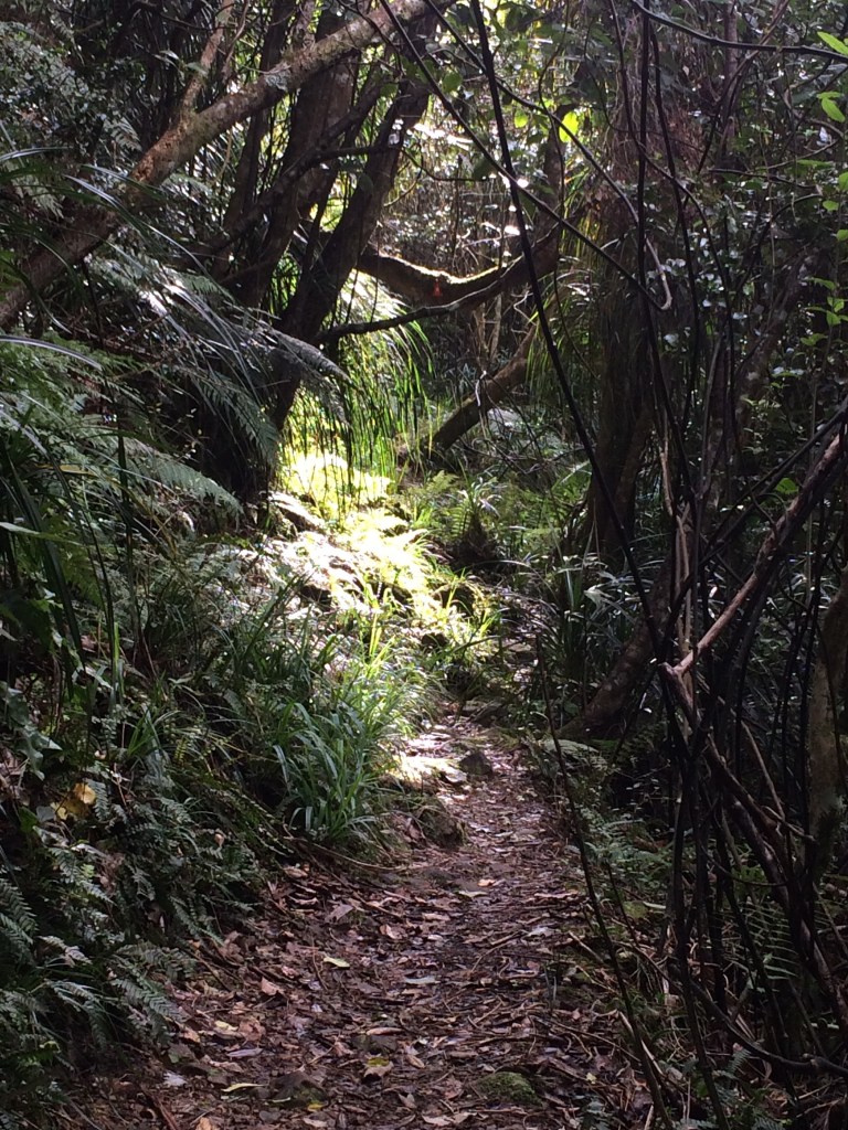
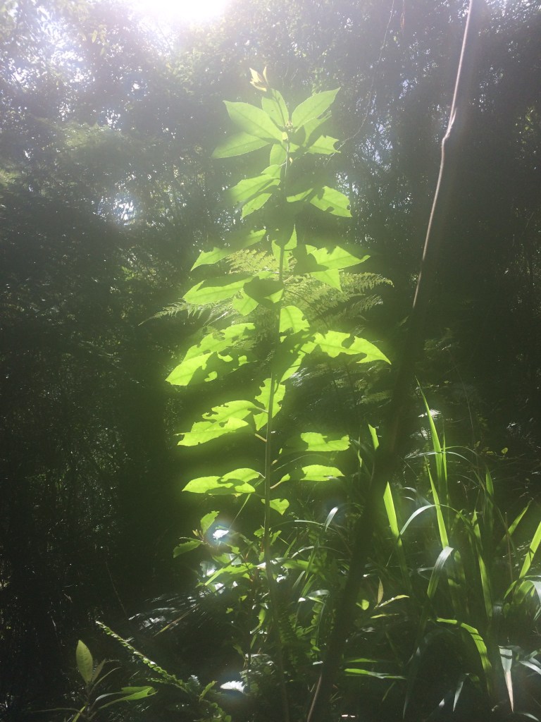
The bush is a different beast in the sun – everything glows.
I stopped at a small stream for a last cup of tea by myself in the big, breathing forest.

One feature of this stretch of bush, I found, was an unusual amount of epiphytes – plants that grow on other plants. Some trees were teeming with them, groaning under their weight, sometimes half-collapsed with the number of exuberant leafy hitch-hikers. Here’s a bunch that had come loose from their host under their own weight, perhaps in recent wind. Some call them widow-makers, because if they fully detached and you were underneath, it would be an unequal fight.

Then it was across farmland to the road end, my folks coming to meet me over the paddocks bearing cake and thermoses, and another adventure on the long pathway ending.
I missed out on this particular trip’s goal, but I still had an exhilarating few days immersed in the massive, ornate silence of the high country.
Thanks for reading! I’ll post about my few remaining North Island legs as soon as I’ve walked them. In the meantime, you can read previous posts, all the way from Cape Rēinga if you like, by hitting “home” at the top of this page.
Ngā mihi nui.
*Note that this and the previous post are out of sequence as regards days on the trail, as I had to postpone them until after the Ōtaki-Wellington section, due to bad weather. I’ve posted them in sequence as regards kilometres, to preserve the full, continuous, north-to-south, length-of-Aotearoa reading experience.
