After the March attacks on Christchurch mosques by a white supremacist, it seemed unbelievable the city’s champion rugby team would keep its name, the Crusaders, given it explicitly honours attacks on Muslims by Christian supremacists*. But it did.
Some of the rationale was allegedly protecting the city’s Muslim community from a backlash to a name change. But some seems more about commerce, which should surely be outweighed by an attacked community’s pain.
Before this weird choice to keep being Crusaders, there were some efforts to find alternative names. None of them really grabbed me, but when I read this article today (from the The Marlborough Express) I thought of one that does: How about naming the team after our own, native, red-and-black, bad-arse warrior spider, the katipō? It already wears the team’s traditional colours.
“The Canterbury Katipō” – it even alliterates. I know you’re not supposed to use “Canterbury” in the name to avoid excluding smaller provinces the team also represents, but people do. And if not, “Come on The Katipō” still has a ring to it. In any case this excellently fierce beastie is our only venomous native spider (appropriate for our most destructive Super Rugby team), is native to and lately resurgent in the team’s region (along with other parts of NZ), and the reo Māori meaning of its name seems sufficiently staunch for a footy team: “night stinger”. A perfect summary of what generally happens to visiting teams on cold Saturday nights in Christchurch.
Also, think of the mean mascot and merch The Katipō could have.
And before anyone complains this proposal is somehow insensitive to people bitten by katipō, or whatever, a) check yo’self and b) the last confirmed lethal katipō bite was more than a century ago. Unlike the last lethal white supremacist attack.
*Sure, that might be seen as a bit of a rough nutshell description of how the Crusaders rugby team use the name, but cross-wearing, sword-wielding “knights” on horseback circling the field before games? Come on. And sure, it’s also a blunt description of the long, complex story of the Crusades. But history is always complex, and the fact remains, a central part of what happened was white Christians going to war against non-white Muslims. And another fact that remains is that people ranging from George Bush to the Christchurch gunman have drawn malign “inspiration” from that description.
UPDATE: Canterbury rugby is in the news again todayfor a lack of thought when it comes to representation, race and respect (“Fake afros to promote Canterbury Rugby game ‘like golliwogs and blackface'” – Stuff.co.nz). Further evidence that the Crusader issue is more than “just a name”? And that the Time of The Katipō has come?
Originally posted Sept 27, 2019.
A katipō from a sand dune in Marlborough. Photo: Mark Anderson
I put my kayak on the car roof and drove three hours north from our home in Wellington to Whanganui, and then another two up the river road to Pipiriki.
You need a kayak for at least part of the previous section of the Te Araroa trail, upriver from Pipiriki, because the riverbanks are trackless wilderness, impassable on foot. But you can actually road-walk or cycle this section, down the river road, if you want. I chose not to, as I’ve got my own kayak and thought it would be more fun afloat.
Pipiriki is an orderly little village at the edge of one of the country’s most untamed places. It’s the last settlement you can reach by road, heading upriver, before the Whanganui National Park becomes accessible by river only.
This was where, in June 2020 I finished my previous stint on Te Araroa, bumping my kayak tiredly against Pipiriki’s little wharf (you can see the post on that stint, and all the previous stints, by clicking on the “home” button at the top of this post and scrolling down).
Now, in November 2020, I was returning to that little wharf surrounded by wilderness. On the way, I came to the top of a bluff and this stunning view. I’d be kayaking this very stretch in a couple of days.
It was good watching the river unfurl beside me as I drove, quiet in its channel. There’s plenty of farmland around here, but for long stretches all you can see is regenerating bush:
I stayed overnight in a cabin at the Pipiriki campground. Checking in, I had my first inkling of what became this Te Araroa stint’s theme – whānau: family – when I apologised to the proprietor, Josephine, for arriving almost on dark.
“All good,” she said, smiling around a mouthful as she walked into the reception area from her adjoining home, “I was just finishing dinner with my moko [grandchildren].”
She showed me around and told me to make myself at home. Later, she told me her connections in Pipiriki go deep. For me and hundreds of other tourists every year, the watchful little village in the shadow of the forest’s edge is a jumping-off point for adventures. But I was realising that for the locals, Pipiriki and the other settlements along the Whanganui are much more: home, roots, identity, mana (spiritual power, prestige, authority), freedom – but maybe most of all, whānau.
And it was whānauthat I found floating up, again and again on this trip, to the surface of my walking, paddling, wandering mind.
But that was still to come. For now, after Josephine went back in to her moko, I stowed my pack on a bunk, boiled the billy and sat on the cabin’s deck watching the light fade over the stately, rain-soaked bush, softening into black above the river:
Birds stereophonically farewelled the light and then a great quietness spread out from all those millions of trees without people or roads among them, without asphalt or steel or fluorescent tubes or anything at all that didn’t follow its own, ancient ways. I felt my heart-rate slow.
It was good to be back in Pipiriki, and back on the trail.
Day 70: Pipiriki to Rivertime Lodge, just south of Atene (46 km)
I took my kayak down to the river, then drove back up to the campground. I’d arranged with Josephine to leave my car there for safekeeping. It was an easy ten-minute stroll back down to the river. The view downstream was inviting, but also, in the way of wilderness, a little intimidating:
Because I was using my own kayak, and it’s built for speed rather than storage, I was travelling extra light. I’d booked a bed that night at a place called Rivertime Lodge, almost exactly halfway between Pipiriki and Whanganui city, making sure it provided bedding and a kitchen. So all I needed to carry was a change of clothes in a small drybag, my paddling gear, a thermos and a bit of food. And to get there by nightfall – 46kms in a day was doable, but there’d be no time to waste. Not unless I wanted to curl up that night with river gravel for a mattress, a spray-skirt for a blanket and a lifejacket for a pillow. Here’s the ship, fully provisioned:
I loaded up and pushed off. I felt the current grab me. I was back out on the big stream.
Being spring there was still plenty of water in the river and I slipped along easily. Pipiriki marks the end, mostly, of the national park part of the river. But it’s still mostly native bush along the river and as I glided down toward the sea, James Taylor’s song was in my mind:
Isn’t it a lovely ride?… Nobody knows how we got To the top of the hill. But since we’re on our way down, We might as well enjoy the ride... Sliding down, gliding down, Try not to try too hard, It’s just a lovely ride.
On my GPS, I watched famous place-names like Rānana (London) and Hiruhārama come and go. That last one means Jerusalem, and it was once a place of pilgrimage for me.
In the nineties my parents shouted me a trip on the river for my 21st birthday – I was on an anti-possessions kick at the time, so preferred an experiential gift to a yard glass or wristwatch. It was midsummer and it was a delicious, balmy four days down from Taumarunui to Pipiriki. I gave the kayak back to the operator and hitched down the then-gravel road to Hiruhārama. It wasn’t the famous convent that drew me, back then. I’d come to see one of the last residences of a famous Kiwi poet.
James K. Baxter lived at Hiruhārama in the late 1960s and early 70s. His poetry and aspects of his life and death meant a lot to me, growing up. Still do, I’ll admit. (I say admit, because Baxter has recently had a significant fall from grace. I already knew, by the time this disgrace was exposed, that he was not really a heroic figure. Not that any heroes are “real” – heroism’s pretty flaky, as a concept, I think. Still, witnessing his fall deeply affected me.)
Anyway back in 1994, I couldn’t let the chance pass to see the site of his famous commune, where he’d written some of his best poetry and done some of his most powerful campaigning for a more just society.
Now, in 2021, I decided not to stop, but I did pull over to the riverbank for a while. I looked up through that deep green bush toward the convent’s red spire and the small crowd of weatherboard houses, toward the sinuous road between them and the river, and remembered that first visit, 25 years ago or so.
I remembered walking up the dusty gravel path from the road into the village proper and asking guidance at, I think, the church. I explained I wanted to visit any places in the village that had anything to do with Baxter. Someone gave me some directions and said just to go ahead and look around – no one would mind, as long as I was respectful. This was ancestral Māori land and a living, breathing, working village, a pā, not a museum or a memorial. That was the firm but gentle message.
My first stop, nonetheless, was the boulder that serves as Baxter’s headstone. It says in Māori when he was born and died, with the Māori name he went by at that time:
HEMI JAMES KEIR BAXTER I WHĀNAU 1928 I MATE 1973
Baxter was one of the first Pākehā (European) New Zealanders to say, with any kind of widespread impact, that Pākehā must listen to Māori wisdom and knowledge, about things like society, family, justice and sustainable coexistence with nature; about everything, really. He used to say that if we didn’t, our little nation-building project, founded as it was on violent land theft by Pākehā from Māori, was doomed.
I wholeheartedly agree. Of course, that type of thinking was well-developed at places Jerusalem-Hiruhārama, long before Baxter ever got there, and it has endured and deepened long after he left, and you can still feel it in the air.
But back in the early 90s I was more sentimental and star-struck, and I spent some time at the poet-prophet’s grave. It nestled, I seem to remember, in a green and leafy nook. Then I went up steps through bush (the same ones Baxter “thumped up” in the poem ‘Tomcat’, I remember imagining) to the house Baxter had his commune in. It was an old villa with a tumble-down, but gracious feel. A young woman was there – it’s a long time ago but I think her name was Te Aroha: “the love”. She showed me around the house, saying family of hers had known Baxter. She was not effusive about him, but acknowledged his contribution.
What she was passionate about was Māori self-determination, and the righting of historical wrongs. There is no peace, she knew, without justice. She was studying law at university, and her goal was to work on the Waitangi Tribunal process of addressing colonial land theft and other damage, and enacting restitution. Her eyes glowed as she told me about it.
She had books and notes spread out on the kitchen table, I remember, so I didn’t stay long. With self-contained poise, she wished me well on my journey.
I went back down the jungly steps to the main part of the village. It was getting late, but I didn’t know where to stay. Somehow I was offered a bed in a spare room by one of the locals, a quiet Māori man. The room was his son’s but he was away in the city, he said. I was grateful and a little embarrassed by such undemonstrative generosity.
Over dinner – mashed potatoes, boiled peas and curried sausages, I think – he didn’t have much to say about Baxter, or anything. I tried to talk to him about dispossession, the revitalisation of Māori language, land rights, the nuns, the hippies, even poetry, but he kept his thoughts to himself. After we washed up in silence he announced he was going to bed early, so I did too. I was pretty tired after four days on the river, anyway.
About 2am I was woken up by his son, who’d returned to the village unexpectedly to find a young Pākehā dude in his bed.
He took it with good grace, and I grabbed my backpack and spent the rest of the night on the sofa.
The next morning they gave me some breakfast and then I hitch-hiked home to Dannevirke via Raetihi, feeling like Baxter himself, who’d often hitched up and down the river road.
It had been a strange, moving little pilgrimage.
Now I was back, but below the pā, the road and the memories, on the river. It was tempting to tie up my little boat and revisit the site of that special interlude. But you can’t step in the same river twice, and now I’d rather listen to Māori poets singing their own songs.
And the river is very long, and I had to keep moving. Further down, I found a quiet beach and stopped for lunch.
The first time I first clambered into a kayak when I was about 11, something about the whole thing just entranced me. A little boat, all for me, and under my exclusive control. It was a powerful taste of freedom. No roads, no traffic, no rules. The way you and the boat become almost one thing – how you balance it with your hips, how your every movement is transmitted to it and, through it, to the water. How the water holds you up and lets you find your way. How you can, with a few hard strokes, send yourself scudding, like a stone that skips itself.
It felt a bit like flying. I could go wherever I wanted, turn and weave as often, as languidly or as extravagantly as I liked. Most of all, I loved the feeling of stroking forward hard then resting the paddle on my lap and letting the momentum carry me on and on, stock still, yet moving. Drawing a long, languid “V” on the silky surface, marking the skin of the world for a moment. In a river, the sensation is even better because the living, thriving current is both a thing that flings you, and a thing you’re part of. You can just sit there, soaking up the green scenes, the wide luminous bends, and above it all, a ribbon of sky unrolling.
Somewhere around Ātene (Athens) I locked eyes with a large, antlered deer. It was standing stock-still in the shadow of the forest’s edge, just above the glassy river. It stood there staring at me as I glided by, a few metres from it. Too late to move, its only hope a perfect stillness. And it worked: I glided on.
A pig, possibly wild, kept pace with me a while, jogging along the bank. And later there was a young deer, not much more than a fawn, grazing with a few goats. As I glided near, the goats saw me and kept grazing, uninterested; but then the deer looked up and nearly fell into the water, it startled so hard. A second later it had disappeared up the near-vertical bank.
Ātene seemed to have a certain contained energy to it. I seemed to be moving around it for a long time, very slowly closer then slowly further away. From my topographical map I saw why: beside the settlement there’s an almost perfectly circular depression in the earth, with a ring of hills enclosing it. it’s an old meander of the river, cut off and drained when the river, countless years ago, forced a shortcut through a rock wall.
I stopped for a rest just south of there, clambering up a silent bank in the middle of what felt like the quietest forest in the world, no one there but me and the deer, pigs and goats.
The late afternoon sun was beguiling and I nearly fell asleep. But I still had a way to go, so I dragged myself back into the muddy saddle. It wasn’t really all that hard, when the scenes beckoning me downriver were so idyllic:
My destination for the day, Rivertime Lodge, is just south of Ātene. As I got close I slowed to a crawl, examining every bend and shingle bank. I didn’t know if the lodge would have any signage visible from the river, and in my late-afternoon, sore-shouldered, sun-dazed state, I was worried I’d miss it. It would be easy to just glide by, and then I might end up stuck on the river with no tent, no sleeping bag and no way to cook my dehydrated pasta.
I saw a guy in a back-pack sprayer picking his way through the steep, scrubby pasture on the bank, using his long wand to delicately administer death to weeds, and called out for directions to the lodge; “another 400 metres,” he reckoned. I poked along a bit further and pulled over at a likely-looking bay, but a scramble up the bank revealed nothing. So I climbed right up to the river road and walked along until I found a mailbox; the number told me I still had a couple of hundred metres to go. I clambered back down and re-launched, and around the next bend could see a house through the trees – that had to be it. I pulled my kayak out of the reach of floodwater, tied it to a tree and found a path that lead up through a terraced flower garden to the lodge.
On the sunny back deck I met my host, Frances, and her pup, Piripono.
While I sorted out the payment on my phone, we got talking. Frances was a warm and gentle person who had recently moved “home” to run the lodge. She spoke quietly of what it meant to her to be back on the land of her ancestors.
Family, was the gist of it – the blood-tie that binds.
She also told me about her pup’s name. “It means faithful,” she said. “He’ll be a good mate to me. I was trying to think of a name and I thought about Bolt, or Lightning. But then I thought, no: what is he, to me? So then I thought: Piripono.”
Day 71: Rivertime Lodge (Atene) to Whanganui City (43km)
I had a good sleep in the comfy little cabin with its en suite and river-facing deck. In the morning I cooked my breakfast in the camp kitchen, with its window overlooking cows having theirs in a sun-dappled paddock.
Then I untied the kayak, loaded my scant possessions and launched back out into the flow.
It was marvellous to float along in that broad, old river, with bush and birds and farms gliding by.
At times there were little swift rapids to urge me on, but as the day lengthened the river broadened and deepened and I began to feel the momentum go out of the water. I’d checked the tide and thought I’d have little, if any, time paddling against it, and the forecast indicated little headwind. But as the going still got harder and harder, I realised the real issue was that I was now very close to sea level. The river was hardly moving. I slogged through it, chopping at the water with my twin-bladed paddle like a climber swinging ice-axes.
I stopped for lunch and a cup of coffee on a muddy beach in the middle of nowhere. The bluff I’d stopped at for the photo at the beginning of this post towered above me, covered in bush. At my back, more wild ridges. In between, the old, deep, hard-driving river. I was alone in a huge landscape.
Further on I passed the first riverside suburbs of the city of Whanganui. Now I was really struggling – two 40km-plus days of kayaking taking a toll. I stopped for another brew on a mudbank.
Before leaving Wellington I’d I worked out on the map the closest affordable accommodation to both the river, and the continuation of Te Araroa. The trail turns from the river to the south at the suburb of Durie Hill, and right at that point is “Hikurangi StayPlace”, a hostel mentioned in the Te Araroa trail notes, including the line: “can help collect/store canoes/kayaks for those coming all the way down the river.”
I hauled the kayak out up the riverbank where Anzac Parade meets the James McGregor Memorial Park and considered my options. It would be an awkward 500 metre walk to the hostel, in my wetsuit slippers with my kayak on my shoulder. I could probably have sorted out something in advance, but it’s better not to be too rigid in your planning when you’re at the mercy of currents, tides and your own energy. I’d thought: I’ll get to Whanganui and see what happens. Now here I was, cold, bedraggled, bone-weary and hungry. I rang the Hikurangi’s front desk, said I was a Te Araroa hiker/paddler, and explained the situation. The proprietor barely turned a hair before generously agreeing to come and get me.
“Have you got a roof-rack?” I asked.
“No, but it’ll be fine. See you in five.”
He pulled up in his car, lashed the kayak on the roof of his quite nice car with a rope he had in the boot, and five minutes later we were pulling in to the “StayPlace”.
That sweeping driveway leads into large grounds which might once have been park-like, but now feel dramatically overgrown, as if the hostel is being slowly drawn back into the bush which once lined the entire river.
My host showed me where I could stash the kayak out of sight behind a garage, and we went in for check-in.
Inside the main doors a wide timber staircase curved grandly down. The whole place had a faded grandeur to it, as well as something equally faded, but sadder, that I couldn’t put my finger on. But it was shelter, a private room was only $50 (actually I think it was less because he gave me a Te Araroa discount), I’d done 80-odd km in two days, and it would very much do.
The proprietor showed me to my room, which had a shared bathroom alongside. I quickly realised the StayPlace’s history: it had been an aged-care facility. Many of its original fittings were intact, so I felt a bit like I was squatting in a rest home, and the residents would soon return to demand their narrow beds. Or that time had speeded up, and I’d reached my own final, straitened home. It was a little ghostly. But it was also endearingly odd.
My room was just big enough for a single bed, a small wooden desk with a straight-backed chair, a hand-basin and a closet. There was a barred window which opened slightly, giving a view of a damp courtyard, cracked concrete veined with moss, exuberant vegetation creeping closer.
I lay on the bed and looked at the high ceiling. Mobility rails were screwed above the bed at the head and side, and a kind of hospital-grade vinyl buffer ran around it. Everything spoke to me, in that slightly overtired and overwrought moment, of broken dreams. How many elderly folk had died in this very bed, I wondered. Had any loved ones held their hand as they slipped away? It didn’t feel like it.
I shook off these gloomy ideas, hung up my wet gear and went to investigate the shared kitchen. My loose plan was to go from there to the nearby Four Square, get lots of carb-rich food and come back here to cook. I wasn’t very enthused about this plan, though, my whole body aching from the long paddle. Maybe someone in the communal areas would have a better idea.
On the way to the kitchen I passed a few residents, all older men, all apparently alone. A silver-bearded, hard-eyed guy unlocking the door of a room half-turned to stare at me, then saluted with an opened can of extra strong European lager, several more clanking in a plastic bag on his wrist. “Evening, chief.” The tone indicated polite reserve, but no invitation to chat.
A whiff of booze and loneliness came from one or two of the other rooms I passed. But there was also faint laughter, a trace of banter, tinny music.
There were two more men in the kitchen and dining area. Both wore high-viz and workboots. They were preparing meals in stolid silence. A third man came charging in, somewhat middle-aged, gaunt but vibrating with desperate strength, his eyes wide and nostrils flaring, a large kitchen knife gripped in one fist. He slammed open the fridge door and rummaged through a plastic bin with a name scrawled on it in marker pen – his own name, presumably, although the knife might have suggested otherwise. The other two ignored him and he didn’t seem to register anyone’s presence. Keen not to catch his eye, I turned my gaze and saw the notice board. Pizza delivery flyers were stapled to it. I grabbed one, went back to my room and rang the number.
After dinner I had a shower in the heavily hand-railed bathroom – complete with a sort of a crane for lowering people into the bath – then went to bed. I thought I’d have trouble getting to sleep in the slightly haunted atmosphere. But the amount of pizza I’d eaten and the distance I’d paddled put paid to that.
Day 72: Rest / logistics day (0km)
The next day was not particularly restful, and I actually covered about 200km by car and bus, but at least I had a day off walking or paddling.
The main item on the agenda was retrieving my car from Pipiriki. The Te Araroa trail notes mentioned the possibility of a lift up the River Road with the mail van, so I rang the number and was told I’d be picked up from the Hikurangi at 7am.
When I walked down the StayPlace’s broad front steps at 7am the postie, Valerie, was already waiting in her big silver people mover, loaded up with letters, parcels, newspapers and junk mail. Also in the back seat was Valerie’s sleepy granddaughter, who greeted me with a tired wave and promptly fell asleep.
As we drove upriver Valerie and I exchanged our stories. A South African immigrant, she and her husband had had the River Road contract for a while now, and she enjoyed it.
“It’s the people,” she said. “You get to know them. They appreciate the service – it’s important to them. We drop off just about anything you could want.”
She liked the way the families and the land were so linked. “All the families up this road, they’ve been here for generation after generation.”
All the post boxes were sited in such a way that she could pull off the road and put the mail in without leaving her seat. She had everything on the back seat placed so she could twist in her seat and grab whatever she needed:
“These guys get the Chronicle, and the free paper, and I’ll give them these brochures as well. I know the dad here likes a read.”
Whenever she could, she glanced in the rear-vision mirror at her sleeping grandie.
At Pipiriki my car was waiting safe and sound. I took off fairly quickly, wanting to explore a bit on the way back down to Whanganui.
At Matahiwi I stopped to have a look at the old Kawana flour mill, built in 1854 to mill wheat grown by local Māori. It’s been beautifully restored, along with the nearby miller’s cottage.
Not far away is the Matahiwi Gallery and Café, housed in a former primary school. This impressive replica steam-boat is out the front.
It was used in filming, primarily on the Whanganui River, of Vincent Ward’s 2005 NZ-British war drama River Queen, which starred Cliff Curtis, Temuera Morrison, Samantha Morton, Kiefer Sutherland and Stephen Rea. The boat is a hell of an artefact, a monument to the efforts of all those who try to tell compelling stories of the colonial violence inflicted on Māori.
Further down the road I stopped at a sign indicating a five-minute walk to the Tunnel Culvert. It’s a key-hole shaped passage under the river road, set in thick bush, and the way all that green reacts to the sudden shaft of light is rather lovely.
Back in Whanganui I pondered what to do with the afternoon. I had plans of carrying my kayak from the Hikurangi StayPlace back down to the river and paddling the remaining five-or-so kilometres out to the river mouth. It just appealed to me, out of a sense of completeness and, I don’t know, poetry, to have kayaked the entire navigable part of the river, from Taumarunui all the way to the Tasman Sea. But how would I get the kayak back to the Hikurangi?
I drove out to Castlecliff Beach, which is where I would come ashore after passing the rivermouth breakwater known as North Mole (the official end of the Mountains to the Sea cycle route). The receptionist at a campground there agreed to look after my kayak while I bussed back into town to get the car. It was all theoretically possible. But the appeal started to fade. The day was waning, the weather wasn’t great, I was still feeling pretty broken from my long paddle, I was close to missing the outgoing tide, and it all began to seem a bit hare-brained, especially considering I had to walk 33kms the next day.
I canned the idea and went down to a reserve at the river’s edge for a last look out through the mouth of the mighty Whanganui, into the everlasting sea I’d been journeying towards on Te Araroa for the last long while (since the trail left it in south Auckland, in a way). This straight-shooting sign was there. Somehow, it summed up the bone-weary, disillusioned feel of that over-ambitious, time-wasting afternoon:
I went back to the Hikurangi Stay Place. On the way I picked up fish and chips and resupplied at Pak n’ Save for the next few days – noodles, biltong, peanut butter, crackers and oats.
Day 73: Whanganui City to Koitiata (33km)
I breakfasted in the dark and was soon out on the riverside path. Across the water, the famous Waimarie riverboat shone in the soft light. Waimarie: peaceful water.
After a short jaunt along the river, the Te Araroa route provides a few options for getting the hell out of town, including the famous Durie Hill elevator (now operated by NZ’s number one popstar-slash-civic-values-advocate, Anthonie Tonnon). But I decided on the direct approach of Portal Street: a portal between city and country. In no time I was out in the big green desert of NZ’s favourite monocultures, grass and pine. Still, it has its wide-open, tumbleweedy sort of charms:
It’s a long, dull slog along the poetically-named No. 2 Line, a flat, 14km, tar-sealed, dead-straight shot all the way to Fordell, a crossroads in the verdant wastes. This kind of stretch isn’t particularly romantic, sure, but most of Te Araroa isn’t like this – they only send you down a road when absolutely necessary, and even then they try and make them minor roads. This one was quite busy though, and at this early hour I had a steady stream of commuters hammering past, which was awkward with the narrow verge. You couldn’t relax, often having to sidle off into a steep ditch to give oncoming traffic plenty of space. I kept count of the cars at one point to pass the time and soon got to over a hundred – just those coming toward me. And there’s nowhere, really, to take a break – even when you’re having a cuppa, those clanking, fuming death-machines thunder by.
Tramping the length of NZ has its dull, ordinary and even painful moments, of course – what doesn’t? Avoiding an on-coming ute, I slipped over in a ditch, slopping mud and slime up my legs and grazing my hand. A passing schoolkid on a bike saw the whole thing and her eyes widened as she slowed. “You OK?” It was kind. I brushed myself off and smiled, but inside I was a bit dark. It’s all part of it though. As the gurus say, if you spend all day kicking the earth, sometimes it’s going to kick you back.
And you just have to find the joy in the trail, no matter what kind of section it is. Just the pleasure of advancing along the long spine of the land, step by step. Of just being literally on the road, Kerouac-style, with only your vital needs on your back, the past behind, the future ahead. Of the purist form of travel in the world: Shank’s Pony. And there’s always sights to see: the changing colour of the sky, the contours of the farms, the fabric of the tar seal, the denizens of the paddocks:
It was just after taking this shot that I met a couple of through-hikers, Kiwi guys doing the whole trail in one hit. This was early November, 2020 so they’d got away from Cape Rēinga in late September, I think. One was a newly graduated teacher who had to be at his first job by late January, so they were trying to smash out the whole of Te Araroa in four months. His mate was a builder who’d needed a holiday. Rather than rushed or hassled, though, they seemed singularly relaxed and cheerful, taking whatever the trail threw at them.
We chatted for a while as we walked, and I noticed, not for the first time, the easy, ground-covering way through-hikers walk. They don’t pound at the road with the poles and feet, they just swing along, knowing that no matter how hard you walk you can only go so far in a day, and that there are many more days to come. Then they stopped for a break. I’d just had one, so we parted, smiling, knowing we’d likely cross paths further on.
At Fordell you turn right – west – onto Warrengate Road, another four kms of rolling rural monochrome. But again, it has its beauty – the manicured contours, the dozing sheep, the neat little homes plopped in paddocks:
Also I found what I presume was a native earthworm, semi-squashed but still half the length of a walking pole, and nearly as thick:
Rain came and went, but you just pull on your coat and plough through. No such thing as bad weather, they say, only bad gear. And my gear was OK. And I liked the steam rising off the fresh-ploughed earth:
Another good thing was it was early spring, so there was lots of delicious-smelling blossom brightening up the verges:
You turn left then, back to the south, for a rare, short stint along the main highway. Trucks and buses and utes roar by like they’re fleeing Armageddon and it’s all quite hectic, but there’s room on the verge and it’s only three km. And even in the bitumen wasteland there are still flashes of beauty:
Just after the Whangaehu River Bridge you turn right down the Whangaehu Beach Road, a long and lonely stretch of increasingly sandy country. I was looking forward to seeing the sea again, having not been beside it on Te Araroa since I left Manukau Harbour, hundreds of kilometres back. My feet were killing me after all that tar seal but everything felt better when I crested a sand hill and there it was:
The teacher and the builder caught up – we’d passed each other a couple of times, during road-side breaks. We walked on together, hustling a bit now since we knew, from the trail notes, we had to make the mouth of the Turakina River within a couple of hours of low tide, a window which would soon close. I was pretty had it by this point but it was still a joy to be back on the long, dark, west coast sands, with the breakers rolling in. A few km went by in a salty, footsore daze and then behold, the Turakina estuary.
I always like these frontier moments on the trail – some sort of atavistic memory, maybe. A challenging barrier to cross. On this side, the howling wastes; on the other, shelter, warmth, security. But this one was a little daunting. How swift, exactly, was that current? How deep was the channel? But hesitating only made it deepen. And there was no one to ask, no way to know if it was crossable, except to pull off our boots and wade in.
It was not much more than knee deep, it turned out, and not particularly swift. And the chill and the salt were soothing on my battered feet. On the other side, we found our way through the dunes to the campsite in the small seaside village of Koitiata (AKA Turakina Beach). It was just visible through the flax and toetoe as we got closer:
We pitched our tents and swapped trail yarns for a while in the cooking shelter over dinner. The other two were full of stories and fairly bright-eyed, trail-hardened after five weeks or so of constant walking. But it was my first day back on the trail, not counting the kayaking. So I was soft as butter and exhausted as a tail pipe, and after briefly ackowledging the sunset I passed out like a semi-squashed native earthworm in my tent.
Day 74: Rest day (0km)
On this leg of Te Araroa, Koitiata was the only chance I’d get to have a rest day somewhere truly picturesque, and truly off the beaten track. Plus I was truly sapped: I still hadn’t recovered from all that kayaking, let alone 33km walking hard roads and harder sand – all in all, a hell of a way to kick off a multi-day tramp. It’s funny though, justifying this to myself as I blog reminds me of the slight battle I had at the time to accept the decision. Part of it is the trail just gets under your skin and starts calling you on: “Another few kms, you know you want to, Bluff is waiting…” And part of it is the enduring clouds of the Protestant work ethic and Catholic guilt, which can make the noble art of idling seem decadent, even sinful. But who cares if I took a day off? Who did I need to impress? I was on holiday. I’m walking the trail purely cos I want to, and I could’ve camped at Koitiata for 10 days if I chose.
Silly faux-moral hangovers resolved, I had a sleep-in and a lazy breakfast in the camp’s cooking shelter, reading my novel (I pack light, but always pack some fiction – the extra weight is well worth it). Then a good chat to one of the long-term residents of the campsite. He’s a teacher and lives with his partner in a massive house bus. They each had Rav-4s to get to work, and a couple of big dogs. He was full of cheery story-telling.
That theme of family was prominent among the stories. He’d saved his twin brother’s life with a stem cell transplant; he had nursed both parents through long and painful deaths. Then, worn out, he’d hit the road.
Now he was relief teaching up and down the coast, staying in little campsites like this. He had an air about him of relishing the living of life firmly on his own terms, and simply, and freely. His partner appeared with the dogs; their easy banter spoke of another kind of family love.
I went exploring and found these two huge whale vertebra that had washed up here years before.
The dunes were a quiet wilderness, complete with tūī feeding on the flax. This one seemed to sit and wait while I got a photo.
I walked down a boggy path through the dunes to the beach.
(Note to TA walkers: if you’re continuing from the campsite, this track is tempting as it’s south-tending, but it’s so boggy you’re probably better taking the one that goes slightly back north past the whale bones, briefly toward the river-mouth then onto the beach. It’s quicker and dryer.)
Once I made the beach, it was bliss to saunter along in bare feet, no back-pack, just a towel and a book, a bottle of water and a snack.
I read for a while, leaning against a storm-ground log and enjoying the wide, salty wildness.
Then I had a bracing swim in the sun-washed waves, and strolled back past the whale bones to the campsite. Near my tent there was a raised wooden platform with cell phone signal, and a great view of the sun setting over the Tasman:
I was back in my tent not long after – the next day would be another long one.
Day 75: Koitiata to Bulls (29km)
I was on the beach soon after dawn. It was a joy to be striding along while the sky, sand and sea lightened. I love these ribbed patterns outgoing tides often leave.
As the sun rose the palette warmed.
At one point a noise warned of a vehicle thrumming closer behind me. As it neared I heard the revs slow and turned to see a big dude on a red quad bike. His shaggy black hair was billowing, he wore rugby shorts, a singlet and a warm grin, and had fishing gear stacked on the rack behind him. As he came abreast he yelled:
“Ow, you’re keen mate!”
I grinned back but before I could respond he accelerated away, free hand out in a huge thumbs up, shouting into his slipstream:
“Go hard broooooooo!”
I love a long walk on an empty beach and this was vintage stuff: a huge sky, a swathe of sea and a sweep of sand, strewn with massive logs, a thousand seagulls and little old me.
I was relishing it but my feet still hurt badly from those 33 kms, which was a little disconcerting. Normally on Te Araroa stints, sore feet don’t trouble me like that, or if they do a rest day fixes them. Either I was getting soft, or I needed some new tramping boots. Every rest stop, I let the poor battered things breathe a bit of sea air.
Part of the reason I’d got started early was to make the most of the firm footing provided by the low tide, and at first I zoomed along. But it wasn’t long before I began to get forced up into softer and softer sand. Soon I was picking my way between driftwood trunks.
Still, it was a good, if hard13kms down that magnificent beach before I had to turn inland. There was supposed to be a marker by a stream bed but after floundering around a while in the dunes I was buggered if I could find one. The trail notes went on to say: “If you get to the fire lookout you have gone too far by about 1.5km, go back, do not enter the bomb range.” Keen not to get blown up, I found a high point on the dunes and looked south. Ah, there she blew, the fire lookout, with some fishers putting out a long-line nearby. Mum, dad, kids and some cousins by the looks. Family again (fire tower in the background):
From the same high point it was satisfying to look north and see the vast scope of the land I’d covered, on foot and by paddle, to get here. Beyond the long crescent of stormy beach, those faint hills on the horizon suggested to me all the choppy wilderness between Whanganui and the volcanic plateau, and beyond them up to Waikato and the King Country.
But it was time to head inland again. I turned away from the sea with a bit of a heavy heart, knowing it would be a couple of hundred tough kilometres before I’d be walking Te Araroa beside it again. More floundering followed as I tried to find the forestry road Te Araroa uses through the Santoft Forest, but eventually I lumbered out onto it. The antiseptic hush of the industrially straight rows of plantation pine was a bit of a let-down after the manic jumble of the beach. But the trail is the trial, and on I went. Soon it led me out of the pines and onto farmland.
For a kilometre or so, an intensely staring mob of hungry cattle followed me, trotting and even full-on running, piling into each other, keeping pace, desperate not to be at the back of the mob in case I started tossing hay-bales. It was funny and a little unnerving – a mob that big, moving at speed, makes a panting, rumbling, bone-shaking sound that is quite something. And they’re all staring straight at you, no doubt wondering if you’re carrying anything edible. Or if you are. No, they’re vegetarian… so maybe they’re trying to work out if you’re vegetarian, and if not, plotting how to get through that wire fence and persuade you at hoof-point of the merits of a plant-based diet.
Then came Raumai Road, a very long, very hot stretch of back-country tar seal. Man, that bit was hard work. The sun was out, there was no shade, my feet were murdering me, and the heat was bouncing back from the tar seal in glassy waves. The road was dead straight and all you could do was plod along. I’m not normally one for selfies but it was so hot I clipped the shade-wings onto my cap, and frankly, they were too magnificent not to record.
That road was flat and straight, a lethal, gun-barrel straightness you can only fully grasp by walking it. Normally there are points up ahead to work towards for motivation and relief: interesting trees, curves in the trail, the brow of a hill. But here, it all looked pretty much the same. So it was just shoulder your pack, grit your teeth and plug away. A long time seems to go by; you check your map; you’ve done a kilometre. You lower your head and grind on.
I don’t want to overstate the hardship – as mentioned before, every bit of trail has its particular character and charm.
The wind got up a bit and provided some relief, whining a ghostly music in the powerlines, and making the tī kouka (cabbage) trees rattle and clack.
The spring sky loured atmospherically above the old man pines, the powerlines and the artificially-stimulated green of the paddocks. This bit of trail’s charm was, I decided, a sort of industrial-gothic.
On and on went the road. I toppled down in the long grass and watched the clouds form a face, ringed by seed-heads. I fell asleep.
When I woke up the road was still there. On and on I walked. Locals pounded by, mainly in large, expensive-looking utes. They were all in a hurry and they didn’t seem particularly friendly. Bloody pedestrian townies, I imagined them thinking. Why wouldya walk when ya can drive a bloody big shiny high-powered UTE? Bloody hippies. But this was probably unfair because the first locals I actually met were lovely.
I’d rung ahead to book a night at a homestay mentioned in the Te Araroa trail notes, at Jo Gallen’s on Brandon Hall Rd, on the outskirts of Bulls. I’d said I’d be getting in around 6pm but it was becoming clear it would be quite a bit later. I rang and Jo said that was no problem, and that she and her partner likely wouldn’t see me till the morning anyway, as they were out for the evening. “But it’s no worries, the kids’ll look after ya. I’ve trained them up”.
It began raining hard, great heavy sheets of wind-driven rain, lashing right into my face. I pulled down the shade sails, put on my coat, hoisted the hood, leaned into the rain and ploughed on. I felt like an unfit, footsore Shackleton.
Soon after Raumai Rd turns into Parewanui Rd I was churning painfully along when I saw a small four-wheel-drive zip past in the opposite direction. It chucked a nimble U-turn and pulled up alongside. A gumbooted teenager got out. “Are you staying at the Gallens?” It was Jo’s eldest daughter. Tasked with checking me in, she’d got worried when 6pm came and went, and come to get me. She shrugged off my thanks as she stowed my pack in the boot. “Don’t wanna be out here any longer than ya have to, do ya?”
The Gallens have built a cute, comfy little hut in a paddock beside the house, especially for Te Araroa hikers. Jo’s three capable, cheery young adults showed me to the hut, a shower, a beer, and barbecued steak and chips for dinner. It was really the most amazing, gentle hospitality and I actually felt a tear in the corner of my road-weary eye. After dinner, I fell asleep in the little tramping hut trying to watch the All Blacks-France test on my phone.
Day 76: Bulls to Fielding (about 28km)
In the morning I met Jo, who was as kind and down-to-earth as her kids. She was about to leave for work and, it being in the right direction, agreed drop me off where her daughter had picked me up. (I’m pig-headed about not skimping a single metre of the trail.) As I got out of their ute I felt quite mean about my ruminations the long afternoon before, unfriendly locals glaring from their Hiluxes, all that. These locals were all generosity, work ethic and good humour. They took a pic of me for their Te Araroa Tramper Photo Wall of Fame, and I got one in return. This tight-knit family are dead-set, trail-magic champions.
I slogged the 4km into the centre of Bulls. Having to catch up some of the previous day’s goal made me feel a bit like I was running behind, before the day had even begun. I tried to shrug the feeling off, but the fact was, I had a long way to go in the next two days, and some fairly tricky logistical decisions to make.
This stint on the trail would be the closest in the entire 3000km+ journey that I would get to my hometown, Dannevirke, to my own roots in this land I was walking the length of. My folks live there, and my elder brother was staying, and they’d offered to pick me up, take me back to “Dannevegas” for a bed for the night, and drop me back on the trail the next morning. They were also keen to walk a stretch or two of the trail with me, if we could fit it in.
Apart from it being great to see them and all that, it did feel apt. Walking Te Araroa, for me, is partly about reconnecting with NZ, after spending nearly 20 years away, and what could be more reconnecting than sharing the actual trail with your own actual kin, and staying a night under your own actual ancestral roof?
But on the other hand, one of the main things I love about the trail is the solitude – that rare chance to be alone, or relatively alone, while immersed in nature. Normally, everything in life seems to militate against solitude – it’s quite hard to just get right away from people and plunge into non-human nature, all on your own. It’s a kind of enjoyable spell, which I find the trail casts on me – a rhythm, a daze, a kind of hypnosis by active movement, distance and nature. Would a family catch-up break the spell? Did that really matter?
I thought about it at the Mothered Goose Café at the central crossroads in Bulls, over a colossal breakfast and quad-shot flat white. But there’s nothing like walking for thinking, so I was soon back out on the road.
It was re-orienting, walking across the bridge over the Rangitikei River. It’s a sensation I’ve often had on Te Araroa: a place I’ve driven through a thousand times snaps into strange, high-definition focus, simply because this time I’m on foot. The bridge is a bottle-neck on the country’s main state highway; trucks roar and the whole structure vibrates as they brake for the 50km/h zone of Bulls’ main street. But there’s also a powerful river, close to the coast, draining a massive hinterland. It’s steely blue in the deep parts, white and seething in the rocky narrows. There’s shingle, mud, willows. A living natural feature of Bulls that I’d never before noticed. I don’t think I even knew that river was the Rangitikei, till that moment. I mean I always knew of the river, often kayaked it; just not really registered that you cross it to enter Bulls from the south. Never looked up it, from this point, towards the mountains, nor down it towards the sea.
Over the river, you scuttle across the howling murder-trap of the State Highway and into Wightman Road. This name, along with those industrially green paddocks with their ram-rod fences, sparked some unkind thoughts about what colonisation (“the White Man Road”) has done to the land, not just here but all over the world. The relationship to the land is extractive, a means to acquire wealth – you tame it, skin it, pull what you can from it. Walking through these landscapes, I sometimes feel this extractive attitude has pulled the soul out of it, the community, the sense of it being a living system of which humans are really just one small part, instead of the overlord. That there’s no community, only shiny, over-powered machines. That the land seems stilled, uniform and strapped down, all the juice sucked from it.
Of course, you’re just passing through, even if on foot, so you don’t see the clubs, the schools, the blood-ties, the history.
And of course, I grew up in a place sort of like this. And I’m another wight-man, another member of that invasive species. It was wilder and hillier, sure, the country I grew up on east of Dannevirke; more native bush, more unfarmable gullies and peaks, fewer fertile flats. The same fertilised green, though, the same straight fences and people always in a hurry, nobody seeming to linger, always measuring, always extracting. But there were also plenty of people like the Gallens, like that dude on the quad giving me the thumbs up on the beach – ordinary people looking after each other and making their way in the world, by tending the land, by being part of the land. There was community. And I’m sure there is out here, too.
There were signs of spring everywhere. I saw these little guys scurrying to get away from me down a weed-choked drain, probably also choked with nitrogen:
It was cute but kind of sad, too – the ducklings dived for safety under the water as I passed, but that water didn’t look very safe. When they came up, their heads were encased in green slime.
There’s much air force activity around here too, with the nearby Ōhakea base, which only encouraged these thoughts – straight lines, discipline, force, might is right. Danger: keep clear.
Probably sounds like a bunch of sentimental or politicised hooey to some people, but the thing is, you’re out there walking, alone with your thoughts, and stuff leaps out at you in a new way. Because you’re walking a long way and carrying all your needs on your back, and because you’ll be sleeping that night on the ground with nothing between you and the stars but stretched nylon, you’re in tune with your environment in a fairly unusual way. You could get to your destination in 30 minutes if you drove like a normal person, but you choose not to, so it will take all day. What a delirious squandering of time and energy! You’re “tramping”, but it’s not normal tramping – it’s not birds and trees and rivers, it’s pylons, highly-engineered tar seal, no. 8 wire, irrigators, ruler-straight ditches, cowshit, money, extractive industry. It’s a bit of a weird experience.
And yet. As I turned down Hurst, Wilson and Ngaio roads, I saw that something remains in the land, despite all the above. The land is the land and it has an energy to it that might survive just about any human interference. (I guess we’ll find that out.) The curves of the land beyond the road; its different colours and textures; the way it falls and rises, layering itself with trees and sky.
Then something else appeared. For the first time from the trail, I could see the Ruahine Range, the one I grew up looking at – that was from the other side, the east coast, and now I was looking from the west, but I still recognised it. That long, rolling, softly jagging shadow.
It told me I was walking directly now toward the land I grew up on, just on the other side of that range. It moved me in an unexpected way. I hadn’t realised this would appeal to me as much, but it made sense: in a way, for the first time Te Araroa was taking me home. Or to a version of home.
I stopped at Mt Lees Reserve, where there’s a historic homestead and a free campground with drinking water and a toilet. I thought about staying: there was a lovely patch of bush, the first I’d seen for quite a while, with a loop track. But I decided to push on – I felt I hadn’t done enough distance that day to really merit a break, and it would make the logistics of meeting up with my family much easier if I got to Fielding that night.
As I moved towards Mount Biggs School along Mount Stewart-Halcomb Road, I reflected on these names. It’s the Manawatū heartland, a huge flat farming area, and yet there’s these two “mountains”. But, I realised, it did actually feel like a high point – without my realising it, the route had gradually brought me up from the river onto a kind of ridge, the fertile land falling away on every side. Walking along this windy high-road, I could look far up into the blue distance in the north, until the land dissolved and it was like a glimpse of infinity. Some might say this is boring country to tramp, but to me it began to take on a certain power.
The wind whistled like a train right down that ridge, making the tī kouka trees ripple and clatter. They were in their early summer bloom and the subtle fragrance of their clouds of small, white-and-yellow blossom drifted across the road on that powerful westerly.
Being immersed in the energy of that westerly reminded me of a particular joy of walking Te Araroa, or walking a long way anywhere, even on a day of hard slog: simply being unsheltered all day, simply marinating yourself in the elements. Being acutely aware of the weather, the wind direction, its changing intensity and feel. Being involved in the world, part of it, instead of interacting with it through a screen or a windscreen. To paraphrase Maurice Sendak (In The Night Kitchen):
I’m in the wind, and the wind’s in me.
Knowing exactly what the weather is doing, from moment to moment, knowing it in your body, in the pressure on your back or chest, in your hurried or curtailed stride, in the squinting or relaxing of your eyes.
Certainly more than you do hermetically sealed in a car or bus, or yomping on foot down a concrete canyon, the wind turned into a confused welter, as chopped up and funnelled as the asphalt under your feet.
In the sun the paddocks gleamed, each blade of grass a vibrant, shining green. The way they stream in the wind. In the distance, a brightness off the unseen sea.
The road had turned more southerly now and in the distance I could see the Tararua Range, the Ruahine’s southern continuation, and the white dots of its high wind farms.
I passed Mt Biggs School and the road became a long, cambered curve that dropped into a corridor of native bush, studded with the rich yellow of kōwhai trees.
The road swung briefly northward and I was walking straight toward a peak I recognised, Wharite, the southern end of the Ruahines. I could clearly see where the land dropped down into the storied break in the mountains, the Manawatū Gorge – in Māori, Te Āpiti. This place has been special for many people for many centuries and it was a special place in my childhood, too. Driving the forty-five minutes into the small town of Dannevirke from our somewhat remote farm was itself a bit of an event. But if you carried on heading west and south for another half an hour, you found yourself passing right through the heart of the high, wild ranges, which always seemed a bit like the gates to the world. And sure enough, you passed through those gates, and you reached the Big Smoke: the legendary Mecca of Palmerston North, with such wonders as Pizza Hut and traffic lights.
Now, back walking across the Manawatū plains, I could see Wharite, dropping down to the gorge, and then where the hills began to rise again, through the wind farms, into the Tararua Range. On the left, where I grew up; on the right, where this trail was taking me.
I hadn’t clicked how good this would feel, how it would tie together several things that I like about this Te Araroa journey, things that make it so meaningful to me. Of course it helped that I was swinging along in a good rhythm finally, the sun was shining and the wind was mostly at my back, the grass was streaming and gleaming in the wind, there were bright purple spring flowers in the verges and everything felt right with the world. I even began to feel more benign toward the local traffic – where I’d felt dark at people for not returning my wave, now I began to cut them some slack. I’d thought them grim-faced, ignoring me, but now I realised it could just be them wearing their concentration faces on what was a reasonably challenging, narrow bit of road. It would be disconcerting to come across a walker coming the other way, with little room for error. Also, I reflected, friendliness generates friendliness: it was true that if I made the effort to make eye contact and smile, rather than just do a desultory little one-finger-raise with my hiking pole, I’d more often than not get a wave and a smile in return.
Walking toward Te Āpiti, it began to feel more and more right that my folks would come and pick me up once I got to Palmy, half a day’s walk beyond tonight’s destination, Fielding. And join me for a bit of the trail while they were at it. It began to feel like an opportunity too good to miss.
I walked along and took in all the beauty around me – not just nature, but human-made, too. The way the farm buildings and the interventions on the land become part of something bigger, something more deeply interleaved. The curve of a shed beside the verticals of the fence-posts, the sun on the wooden rails, the rusty iron roof, the bush beyond with a pylon among it, the wheaten colour of the grass-heads, the paddock grass licked flat by the wind: everything.
I treasure this feeling that comes on the trail sometimes, usually in the late afternoon when the light is gaining that magical quality photographers love and when I’m slightly delirious with effort and depletion. Roland Barthes described it as “everything speaks to me” and that’s what it’s like – like all your senses are singing.
A motorcyclist comes toward me, totally in black on a red bike, black helmet with red trim. He brakes for the corner, right beside me and in that exact moment through his clear visor we catch each other’s eye. He gives me the slightest of nods, twists the throttle and vanishes into distance.
Meanwhile, clouds, sky and a ploughed paddock by the road provide new shades to absorb. The wind-sculpted white above the square and silver buildings, the hot blue.
Contrast with a hint of similarity is often the thing – here it’s the lumpy clods of the paddock, below the softer clods of the clouds.
In times like that, I have to force myself to stop taking photos, or I’ll never get anywhere. The day was waning and I plodded on. Things entered a new, familiar phase. The last couple of hours of a long day on the trail are the hardest, especially if it’s a rare day of road-tramping, like this one. I was really tired, I’d come a long way, and I still had a long way to go until I could eat, rehydrate, lie down and switch off. But there’s no button to push, no instant solution. You hurt, you want to stop, but you just can’t. No one’s coming to make it easier.
And you’re not in the bush, so you can’t just find a flat spot by a stream and camp. All the land around you is private. Sure, the owner might let you camp but how would you find them to ask? The house might be miles away. You might find it and they’re not even the owner – a lot of land belongs to big corporations now, not necessarily the people that live on it and work it.
You could camp on the verge, maybe, but even if you could find a flat bit would you really want to? Cars howling by; visible and vulnerable to anyone who took exception to your staying the night there? What about water?
(All of which adds to the slightly queasy, alienating feeling that road-walk days can generate. The road is a littoral space, not quite private, not quite public. Tramping it, I sometimes feel the slightest little glimmer of what it might feel like to be homeless: never having a place you’re really welcome to lay your head.)
You just have to go on.
Finally, way down Sandon Rd and onto Ranfurly Rd, the farms began to give way to lifestyle blocks. I was on the outskirts of Fielding. I liked the way the electric fences moulded to the flow of the land.
And beyond the electric tapes, there it was again – my dear old Ruahine Range, with Wharite as its full stop (or maybe comma), dropping down into the range I’d be walking up in a few days, the Tararua. I love how, on a long walk, you seem to be able to compel whole chunks of terrain like this. It feels like you’re dragging them towards you, footstep by footstep. Mohammed summoning the mountain.
Finally I crested a hill, aching in every fibre, and there it was: Fielding. Even though I’d only come from Bulls, and only been trekking along tar seal and through farm land, there was still the thrill of emerging from a kind of wilderness into civilisation, walking up and over the dividing line, the boundary between head-torches and light switches, stream-water and tap-water, easy chairs and leaning on a tree. When I was a kid and we drove into Dannevirke from the farm, there was a sign marking the town limits and we’d gleefully yell it out as we drove up and across it: “B, b, b, b, b… BOUNDARY!” A bit dorky maybe but hey, I was eight or something. Anyway this felt a bit like that.
In the thinning, but still golden, dreamy evening light I came across this unexpected art installation by well-known NZ sculptor, Jeff Thomson.
I was road-dazed, everything was speaking to me, everything was linked. Seeing these cows, by this particular artist, felt like something you couldn’t make up. When I was a kid, Thomson was one of the first artists I ever knew of – possibly the first time I’d understood the concept of “artist”. He makes all kinds of wonderful work out of corrugated roofing iron, a quintessentially Kiwi building material. He has a beautiful old HQ Holden covered in it in the national museum, Te Papa. My elder brother was into him when we were kids; we used to see his work on the side of the road as we drove up past Tirau or somewhere (in our own HQ Holden) and everyone would look out for it. The whole experience of looking for art from the car window seemed special, strange, anointed. I was struck by how this guy made art out of any old thing he found lying around in his little old Kiwi life. The beauty in the everyday. You could do that. It was revelatory, and now here it was, in a paddock by the trail.
I enjoyed the wee plaque. The prescriptiveness of it: “these cows WILL make you think. So there. Or else.”
On I stumbled, into Fielding proper. I slid down for a rest against a fence on an empty section. Some kids went by in a lowered Cortina or similar, bass thumping. One held an RTD toward me out the open window: “That dude looks like he needs a drink. What a drink, dude?” I smiled and declined. It would have been the last straw: I would have keeled over and slept right there.
There is only one designated campsite in in Fielding and it was clear on the other side of town, a good 4 kms off the trail. I hauled myself up and plugged away at those last, persistent ks of this long day that refused to die.
I wanted to click my tramping boots muddily together three times and be instantly drifting off in my little tent. But no. Still those ks resisted. I was halfway there and seriously running out of puff. I paused and tapped my pole three times against my left boot, mumbling to myself in the deserted small-town dusk.
“There’s no place like a bit of horizontal earth you’re officially allowed to lie down on. There’s no place…”
A high-powered white car pulled over. A young man leaned out the opened passenger door: “You going to the campground? Want a lift?”
Trail magic, I thought later, finally drifting off in my tent on the hard ground.
Day 77: Fielding to Palmerston North riverside path (about 25km)
In the morning I had to do those 4 kms again to get back on the trail, but I swung along through Fielding’s waking-up streets at a good clip. Soon I was out of town, across the Oroua River bridge and onto Campbell Rd, which runs parallel with the busy main road but spares you a lot of the hectic traffic.
Closer and closer came the Ruahine Range, and Wharite with its trademark TV aerial.
This next shot is taken from under a tree, where I flopped down for a rest in the shade. It was only late spring but the day was heating up, and road tramping with a heavy pack, as discussed earlier, can be brutal.
Soon after I was crossing the railway line and blessedly onto green paddocks and farm tracks again. Then came a couple of clean, wild-looking little creeks. Scenes like this are welcome respite from whooping semi-trailers and the hard pounding your feet take on harsh volcanic chip rolled into tar. I appreciate these unglamorous, but interestingly overgrown little detours off the main drags the trail takes you to, but which you’d otherwise never lay eyes on.
I was gunning for the little village of Bunnythorpe by lunchtime and made it. I raided a dairy and sat down under another tree on the grassy verge. It was strange arriving on foot in this little village, which I’d driven into so often – drop a gear, go through at 50km/h in two minutes, quickly chop back up to 100 and you’re gone. But now I had spent a whole morning getting here, watching it take shape ahead, step by step. I looked around as I ate and drank, getting a whole new slant on the place. Then on, and an encounter with this shady character:
This was in an attractive, atmospheric little right-of-way across some paddocks just out of Bunnythorpe. (The trail notes mention Stoney Creek Road, Sangsters Rd and farmland and farm driveways through to Roberts Line and Railway Rd). This guy came right up to me, stamping his foot, glaring at me. I knew enough from growing up on a sheep farm to not turn my back, and sidled away, eyeballing him right back and lifting up my hiking poles like horns. Seeming to decide I wasn’t worth the effort (or just that I was even nuttier than he was), he let me go. Later that day on the trail I was to meet someone who asked me how the encounter went – apparently this sheep is locally famous for bunting unwary walkers in the bum and sending them flying.
There were also lovely old trees and wandering chooks:
And even a complementary couch, complete with chopping block – hopefully not for the chooks or the bolshie sheep:
Crossing the next section something happened which seems a whacky coincidence at first glance – I ran into a guy I’d been texting only that morning about possible accommodation in Palmerston North. Out of all the vastness of the 3000km trail, there he was: Brian, in orange high-viz.
“You must be Caleb,” he said in greeting. This country really is an enchantingly wee village sometimes.
He and his wife Paula run the Te Araroa homestay, which is just off the trail in Palmerston North, my destination that day. I’d only that morning texted him to cancel, as I’d decided to stay with my folks in Dannevirke instead. Now here he was, large as life.
It turned out he’s a Te Araroa Manawatū trustee (the trust that manages the trail is organised into regional entities), and he was there to look over work on the trail with a local volunteer (on the left in the pic above). This man, whose name I noted but have lost, had done a lot of hard physical work improving the trail through the Tararua Range. It was quite special, to tramp right up to a couple of the thousands of keen, generous Kiwis who’ve made the dream of a New Zealand-long trail come true.
We had a laugh and a chat, and Brian told me about the sheep. Then on I carried on into the wide green yonder.
As I went I reflected on how ingenious it is, the way the Te Araroa trust has stitched together bush trails, unmarked wilderness, forestry routes, minor roads and farm tracks, stiles, foot bridges and right-of-ways, poles and markers to create this mesmerising thread down the heart of the country.
On and on that thread called me, with its beguiling black chevron stickers and its iconic silhouettes of a tī kouka (cabbage) tree. And in the distance I could see the mighty Tararua range, which I knew would be one of the highlights of the entire journey so far, growing closer.
One of the interesting features of this nation-long thread is passing through different territorial authorities. It’s another little buzz of progress: “Oh, I’ve officially left Whanganui’s patch, now I’m in the Manawatū” or whatever. But also, just seeing what each of them has done with the presence of the trail on their turf. Often they give insights into the landscape, the stories behind the Māori and Pākehā names, the pre- and post-colonial history. And sometimes a glance where you are, where you’ve been, and what’s ahead. Here’s an example of the great work Manawatū has done with its trail infrastructure:
The shared bike/walk pathway along Railway Rd was a bit of a trudge but I was getting close to my rendezvous with Mum and Dad, at the Roslyn shops on the western edge of “Palmy” (just showing my local-boy credentials there). I flopped down for a rest under a tree, just opposite the end of the airport runway, and watched the big birds come in.
I entered Palmy on Vogel Street, and there were Mum and Dad, cheering and brandishing coffee and pastries at me through the car window. Thus fortified I marched on; Dad hopped out to walk a stretch with me and Mum drove ahead to meet us. The trail took us down to the historic cemetery, and through it to Napier Rd. That was an unusual little trail experience, walking with my Dad along among the peaceful pioneering dead, with their stories of hardship and determination.
Mum walked back to meet us along Napier Rd and we passed this gem, a substation decorated with a tribute to my own dear Ruahines, which I’d been eyeing nostalgically from the trail the last couple of days.
Then we were onto a shared walkway down to the river, initially heading east beside the Gasworks Drain. At the river it turns south and becomes He Ara Kotahi, Palmerston North’s new flagship riverside walking and biking path. It’s an absolute jewel, with a section of “glow path” (with glowing sand that absorbs UV light during the day and releases it at night), boardwalks, shelters, seating, viewing platforms, plantings, sculptures and info panels about all the rich history along here.
One of them, for example, was designed by the local Rangitāne iwi, and is in a pattern inspired by the border of a cloak. It symbolises protection of the land, the idea of the inhabitants “laying their cloak over the land” rather than stripping all the goodness from it. It also sums up how this route was a major pathway long before Europeans got here.
Mum went back to get the car again. Dad and I wandered along in hectares of lush green lawns, stop banks and bush, the river shining dully beside us in the overcast evening. Dad had a go with my pack and looked impressively comfortable, like he could’ve kept straight on to Bluff.
Further off to the east glimpses of the windy, wild Tararuas insinuated themselves, complete with those ubiquitous windfarms. A reminder of the tougher terrain soon to come.
Mum parked up and walked back and we had a good few kms together, the three of us in the deepening evening. Mum, too, looked very much at home on the Long Pathway. It was special to be accompanied by my folks on this Te Araroa project, which I’ve been doing mostly solo since 2017. Now here I was walking the length of New Zealand with the two people who’ve backed me to the hilt since I was born, at the trail’s nearest point to where I was born. It felt good.
Also, with my energy flagging and my feet throbbing, these two legends kept me fuelled with thermoses of hot coffee, strawberries and chocolate. We eventually knocked off at the Fitzherbert Bridge, and then another special thing: a brief detour off the trail, 30 minutes’ drive over the range, and I was in the town most familiar to me – dear old Dannevegas.
Day 78: Palmerston North to Kahuterawa Rd (17.5km)
In the morning I got a lift back to the trail with my older brother Matt, who was then working in Palmy. He walked with me and carried my pack for a while too, and that was special as well.
Then I was off again on my own, and heading south. Here’s a last look north, toward the Fitzherbert Bridge and the Ruahines, and beyond them, Dannevirke, our old farm, the past, my childhood, and… well, Janet Frame says it best:
the lost sound of the rain … the sun, the voices of the dead, and all else that has gone.
As mentioned, the best bit of the new He Ara Kotahi riverside path, for me, is the way it acknowledges and honours the original people of this territory, the tangata whenua, and their history. The highlight is the foot- and cycle bridge:
Over it I went. Once across, I felt a change: now I was really off the Manawatū flats, over the river, and heading upward into the rugged range that had been beckoning me the last few days.
The trail passes between some of Massey University’s agricultural and science buildings, passes under Tennant Drive alongside Turitea Stream, and enters a patch of bush called Bledisloe Park. There’s a steep climb up bush terraces and then a good view over the university.
I was really struggling by now, with fatigue and sore, blistered feet. This was close to the most tired and sore I’d been on the whole 1000+km journey so far, and the worst blisters. I wasn’t sure if it was a general lack of fitness, the fact I’d started this stint with a 80+km paddle and a 30+km road walk, or if I was just getting old. Also my shoes were pretty had it. I bought them right beside the trail from a MacPac in Silverdale, north Auckland, when my previous boots died (I’d bought them in Kaitaia, after my very first pair of Te Araroa boots were killed by Ninety Mile Beach). Now they, too, were on their last legs (so to speak). This, I resolved, would be their last day on the trail. I band-aided up my feet, pulled on my knackered shoes, and struggled on.
I followed the trail through parks, bush reserves, over stiles, across farmland and under Old West Road. Covid is a constant presence, even out here.
Then it mostly follows a riverside planting scheme alongside the Turitea Stream – peaceful stretches of riverbank, with lots of young native trees and toetoe poking up through the long grass.
Harakeke (flax) did its quiet rattling in the cool spring wind, which was turning southerly: right in my face. It was turning into a tough old afternoon, but the scenery made up for it, and I was slowly finding my mojo again. The latest bit of doctoring I’d done on my feet seemed to be working.
When the going is tough like this I find it important to soak up the beauty of it all. What a privilege it is to be out here at all, to have the luxury to spend day after day out walking. Finding tranquil rest spots like this helps – made just for you, they seem, hidden away from the rest of the world.
The trail then follows Ngahere Park Road, past a turn off to Palmy’s water reservoirs. Ngahere means forest and it’s an apt name – the gravel road soon turns into a bush track:
It’s a narrow sliver of bush at this stage, with farmland and pine plantations on every side. I was looking forward to getting away from pines and paddocks into the real ngahere, coming up in the days ahead. But for now the dark green of the pines kept poking up above that olivey, shadowy, tangled exuberance of the proper bush:
Soon I was onto a gravel road again, and it was time to give these diligent buggers another rest:
Farmland in places like this, out on the edge of ranges and bush reserves, does have a pleasing wildness of its own – as if the bush is just biding its time to come bursting back, when we all disappear. I liked the abandoned truck in the foreground of this, with a stream of returning bush overflowing the gully behind – a reminder that our extractive obsessions might become just an eddy in the planetary river.
I was on Greens Road now, and enjoying its many greens. Other rewards were its swooping cambers, and the ponga ferns that graced its bends, and the late afternoon light opening up to the west, as I ground slowly up toward a highpoint.
It was very quiet out there – no people, no traffic. That was until a huge thundering sounded behind me and built in intensity until young guy on a highly modified dirt bike came roaring past, helmetless, in shorts, gumboots and a Swandri.
Finally I reached the high point. To a sound track of the young guy thrashing the kickstart on his bike somewhere over the brow, revving the engine, then cursing bitterly as it died again, I drank in the view I’d earned. It the first view clear out to the coast I’d had since leaving it several days before, at the Santoft Forest. That familiar satisfaction: I crossed all that, that great plain, on my own two (half-hobbled) feet.
In the distance, you can see the gleam of the Tasman Sea around Himitangi and Foxton Beach.
That stile took me down over undulating paddocks to a scrub-choked gully, and the last enduring image on my retina from this stint on the trail: spring blossom exuberant among quiet shades of mānuka and ponga. And below the blossom, a little bridge someone has taken the time to build for for trail walkers. I crossed with gratitude.
Across that small bridge and up the other side I was out onto Greens Rd just before the intersection with Kahuterawa Rd, and there was my friend Chris, waiting to pick me up. His generosity in coming to get me and put me up for the night reminded me of another, crucial kind of whānau: our oldest friends.
After a restorative night with Chris and family, just off the trail near Massey, I took an Intercity bus north again to get my car and kayak from the generous protection of the Hikurangi StayPlace in Whanganui. Then I drove back to Wellington and my own small and perfectly formed family of two. And that was that, another trail stint in the memory banks.
It wasn’t a classically beautiful or wild section, but it made up for that with its oddball charms, and all the time and space it gave me to ponder, or just hobble along in often-painful, yet usually restful blankness.
Tune in soon for the next instalment – a short one, through the Tararua foothills proper, from Kahuterawa Rd to Makahika Outdoor Pursuits Centre, just east of Levin.
You can also read earlier instalments – from the very beginning at Cape Rēinga if you like – by hitting the “home” button to return to the top of this blog.
Ngā manaakitanga, every good wish. And thanks for reading!
“All good there, mate?” asked the big man in the bush shirt, narrowing his eyes at me out the ute window. Three equally well-built road-workers peered at me from the back seat, eyeing my Goretex leggings, telescopic hiking poles and flouro-yellow pack liner. Fair enough – I must have looked a bit suspicious, fossicking through the long grass outside their depot.
“Yep thanks – I’m doing the Te Araroa trail, and I just wanted to find the exact spot I got to last time, so I don’t skip any,” I explained. He looked a bit nonplussed, then his stubbled face cleared.
“Ah yip, that length-of-New Zealand thing? Awesome. Have a good one then bro.”
As the ute crunched off down the gravel of Greens Rd, 15kms south-east of Palmerston North, I found it. The very spot I reached on my last stint on the trail, back in November 2020:
Back then, I’d kayaked down the remaining bit of the Whanganui River (Pipiriki to Whanganui city), walked across the Manawatū plains to Palmy, then up into the Tararua foothills. I got as far as this unassuming bit of Turitea farmland, before I ran out of puff. Luckily, an old friend, Chris, lives nearby. He picked me up and helped me on my way home.
(To see that and the rest of my Te Araroa journey, hit “home” at the top of this post).
Now it was June, 2021, and I was back on the trail. I drove up from Wellington, stayed a night with Chris again, and he dropped me back at Greens Rd on his way to work.
Day 79: Greens Rd, Turitea to Moturimu Whare, Gordon Kear Forest – 16km
Before I set off, Chris took this shot of us. I’m on the right, all kitted up for an early-winter morning back on the trail.
Here’s the view to the south, back the way I’d come – the last kilometre or so went down this hillside, from the pines on the skyline, past the mountain-bike ramp and up onto Greens Road.
And here’s the way ahead – this shot also courtesy of Chris.
From Greens Rd the trail turns into Kahuterawa Rd, which narrows as it heads deeper into the bush. After five or six km it reaches Arapuke Park, a mountain-biking Mecca, I gather. I crossed Black Bridge and headed up onto the Back Track. I liked this moody section, lined with luxuriant foliage.
After a few kms of steady climbing there’s an inviting lookout, towards distant hills. There’s a memorial seat there, which Chris had told me about – the memorial plaque is to his uncle Maurice.
The Te Araroa trail’s te reo Māori name has a big meaning – the long pathway – but it sure passes through a small world. I enjoyed a restful moment gazing out at it from Uncle Maurice’s seat:
Further on there’s another leafy, quiet bush section. After a few months with no tramping, it was so good to be back in the great green heaven.
The highlight of this section was a sign announcing I was now halfway to Bluff.
NOBO is trail-speak for north-bound; SOBO, south-bound. (Most people go south-north but a few hardy contrarians choose to walk uphill, haha.) I liked the pic of the weary but jubliant through-trampers, sweaty shirts drying in the sun, “1500km” or something spelled out in stones on the picnic table:
It was much chillier than in this pic when I was here – many through-trampers would be here in hot sunshine, having left Cape Rēinga in early November in order to make it down through the Southern Alps well before winter. But it was still a fittingly peaceful, scenic place to think about all those 1500-or-so-kilometres I’d done since early 2017, and all the 1500-or-so I will do by… well, who knows. Whenever.
My actual total at this point was about 50kms less than 1500km (the Hunua Range south of Auckland was closed when I got there, due to Kauri dieback. I’ll go back and fill it in sometime.) But I still felt a sense of occasion.
From a high point soon after that, I got a glimpse of those flat, boring plains I’d slogged across from the coast south of Whangaui. They looked a lot better in the blue distance, with some wild green between me and them:
Here’s a close up. Looking at it made me remember that those monotonous plains weren’t all bad. They had a wide-open, windy charm, some good people, and a sense of distance, space, possibility. Still, it was satisfying to be up in the ranges at last, looking back on them.
It was around then that the trail leaves Arapuke and the Back Track and goes down the gravel Scotts Road for 2km. The signs of life on this hill-country road were a bit more in-your-face than down on the plain. I guess when your land borders thousands of hectares of prime hunting land, you might have to be quite direct:
This old stock-loading ramp was built between two stumps, now bursting, in slow motion, back to life. It seemed emblematic of the area. The blurred border between the artificial and the wild:
The trail takes you over a stile to pass a locked gate into the Gordon Kear Forest, a pine plantation owned by the Palmerston North City Council. You follow a forestry road over the Kahuterawa Stream and arrive at this unique shelter and campsite – the Moturimu Whare:
It was built especially for Te Araroa walkers and is a real treat. It has a cooking bench, a sleeping platform and some plastic chairs. The traditional Māori design and decoration and the broad doorway give it an open, welcoming feel. I got water from the nearby stream, brewed a cup and sat watching the early winter twilight deepen over those miles of pines.
An info panel explained that the whare honours the original name of the area, given long before Pākehā (European settlers) ever set foot here: Moturimu, the island of rimu (one of NZ’s most stately native trees). In the tumbling, variegated jungle of the Tararua Range, this area was once distinguished by an extensive stand of mighty rimu.
Distinguished, yet also condemned. Graceful and weeping-willow like in its juvenile form, huge and straight when mature, the rimu is a treasure of the forest. But to the settlers, it only looked like cash. Its timber was the best of all the native trees for building houses and furniture, and we couldn’t get enough, especially in the population boom after World War II. Moturimu became the site of a large logging operation, complete with a village for the workers.
Now Moturimu has no rimu at all. Instead, surrounded by pasture on one side and untouched bush on the other, we’ve turned it into an island of pine.
Still, it’s a pleasant enough place to spend a night and I enjoyed having it all to myself. A perk of tramping in winter.
Day 80: Moturimu Whare to Tokomaru Shelter – 14.5km
The day kicked off with three kilometres uphill through the pines along the gravelled “Toko Corner Road”, a forestry route. At the top was a picnic table and a stile, and a sign marking re-entry into the Tararua Forest Park. I climbed over and away from the ghosts of ten thousand dead rimu, back into the wild.
This was the beginning of Burtton’s Track, a route with a fascinating history, of which I’d find out more later. For now I just relished being back in proper, mature bush for the first time on this section of the trail. In fact, it was the first serious bush since I left the Whanganui River, well over 100km north.
Below is either No. 1 or No. 2 Stream – Kiwis can be quite prosaic about naming things, can’t we?
After an hour or so mostly descending, I reached the Tokomaru River, wide and quiet in its deep valley.
Orange markers showed the way across, then it was upstream a while to a clearing just off the river. This is the former site of a whare built by a settler named Jim Burtton, in 1908. Here’s a photo of it, from an info panel in the clearing. It’s impressive, when you consider Burtton felled, milled and nailed up every one of those wooden tiles and wall boards, alone on the wild block he spent much of his life trying to clear and farm.
But what’s really impressive is the tale of Burtton’s death. When he bought this block, it had no vehicle access from the nearest road, Tokomaru Valley Road, and therefore no way to get his wool and meat to market, nor to get in supplies. But the council agreed to let him build his own cart track. So that’s what he did – alone, with pick-axe and spade, on top of all the backbreaking work clearing the ancient bush off his steep valley block, not to mention the farming itself, Burtton hacked a roughly twelve-kilometre track wide enough to drive a bullock dray out from the end of his farm. He continually improved and maintained it, clearing slips and chopping through collapsed cuttings, for 33 years – until 1941.
One late summer evening that year, he was coming home across the suspension bridge he’d built across the Tokomaru River near his whare. The timber he’d split and the ropes he’d rigged had served him all those years, but now they broke, dropping Burtton eight metres onto rocks.
Battered, his leg broken, he crawled out of the riverbed back to the whare and fed his dogs. He was in mortal danger, but it was no reason to stop looking after his only dependents, his companions.
Then he dragged himself the six kilometres from the whare out to civilisation for help. For his life he went, along the track he’d cut with his own hands from the unforgiving bush. It took him all night to reach the Tokomaru Valley Road and alert his nearest neighbours. Who knows what he endured, pulling himself over the ground in the darkness, remembering as he went each hard-won cutting, each drayload, each carefully benched corner, camber and climb.
He died the next evening in Palmerston North hospital.
I thought about all this over a cup of tea in the clearing he crawled away from that night, my back against a ponga that was probably not even a seed in the ground back then. Then I got up to follow this singular man’s last journey.
Did he love the bush he crawled through that last night? Or did he curse it as a callous invader he’d spent his life trying to uproot, and which now clogged his path to safety? Possibly, I thought, a bit of both.
The six kilometres from the whare to the road took Jim Burtton 12 hours; it took me about 90 minutes. As I walked, I imagined him crawling along the same ground. Blacking out from pain, waking up in the mud, carrying on, never beaten while his heart still pumped. The care he took in building the track is still evident, despite the effects of time and weather. For me, it was still a fairly tough, hilly slog, even walking upright. Let alone having to do it on your belly, with an excruciating injury.
What motivated him, all through his final, slow, agonising crawl?
Maybe it was the track itself, the work he’d put in to access all that wonderful isolation. An embodiment of his decision to live so far beyond the pale there wasn’t even a road, until he damn well built one.
And his unwavering committment to that decision, decade after decade, alone with his stock, his dogs, the hills, the trees, and the quiet river that eventually did him in.
Just before the road end I reached a high point and a view out into the rough country Jim Burtton tried, and failed, to tame.
But failure, I was thinking, isn’t necessarily a bad thing. Even a strong, capable, Barry Crump-type bushman like Burtton was ultimately let down by gear failure – a bridge he built, with all his skill and strength, failed. He fell.
And we all fall, even the strongest, the most resilient, the ones least inclined to weep or talk about our feelings, the “manliest” men, the most successful people, even those most sure of themselves. Especially those most sure of themselves. To fall, to have your bridge collapse under you, is human.
And what do you do, when you fall on the rocks because your knots failed? You get up. You look after those who depend on you. And you do whatever you have to to get help – no matter how self-sufficient you are. You try, one last time before it’s all over, to connect.
I chewed almonds and biltong and comtemplated these things in the light drizzle.
Not long after that I reached the Tokomaru Shelter, another place provided especially for Te Araroa walkers (though anyone can use it). It’s a plain little tin shed with a packed earth floor, a wooden table and chair in one corner and a raised sleeping platform in another; but it felt palatial in that lonely place.
Over noodles and biltong I entertained myself reading comments in the hut book (also provided by the Te Araroa trust):
“Woke to a rat trying to nibble my bum hole – cheeky bastard didn’t even buy me a drink first.”
“Lovely shelter. Glow worms along stream behind.”
“All those slips along Burtton’s Track were caused by the immense weight of Jim Burtton’s balls when he dragged himself out along it with a BROKEN LEG.”
Then I heard a scrabbling and saw a silky movement, and looked up straight into the black eyes of a rat, emerging from the gap between the corrugated iron and a corner post. We contemplated each other for a long moment. Its long nose twitched, whiskers and sleek fur silvery in the candlelight. I made a movement toward my camera and it vanished.
I crawled into my bag but was sleep was elusive: the rat and, by the sound of it, several of its dearest mates had begun a party in the wall cavity right beside me. I put in some earplugs and, to distract myself, began making up a song. I got a couple of stanzas into it before drifting off:
The Ballad of Jim Burtton’s Balls
Well we’re the children of the urban drift Living shelved in cities like reams of paper; But I sing of one who’s heart would lift To get bush-choked miles from his nearest neighbour.
So keep your crumbling inter-webs and robot hacks Your munted motorways, your interest rates and malls And let’s toast Jim Burtton, who made himself a track That withstood all weights, except for that Of his own tremendous balls.
Day 81: Tokomaru Shelter to Makahika Outdoor Pursuits Centre – 18.5 km
The morning was rainy and cold but I soon warmed up with some fast crunching along a few kilometres of gravel. The trail goes along Tokomaru Valley Road and then south into Mangahao Rd, through bush and pines. Then it passes a couple of reservoirs and dams, giant sheets of silent water and concrete; they feed the nearby Mangahao hydroelectric power station.
The trail turns its back on all that, though, into rich, thick bush. This is the Mangahao-Makahika Track:
After the morning’s rain the sun came out briefly and the bush did that shining, glittery thing, every leaf washed and lit.
It’s an everyday experience on the trail, leaving a road or farmland via a rough track that pulls you into forest, submerges you in the purity and abundance of the wild. But it never fails to enthrall me.
Maybe it was extra-poignant this time, after being so immersed in Jim Burtton’s life-long, ultimately failed project to subdue the bush, and then the gravel road up to the acres of deadened water above antiseptic concrete walls, and the wisp of creek they left, anaemic below the dam… all that habitual taming that we do, that reflex, consumerist subduing. Now I was back in the indifferent, lucent, primeval tangle. And it was delicious.
There are some mighty, mature rimu, and then three tributaries of the Blackwood Stream. Here’s one of them, where I filled up my water bottles – there’d be no more water till I had crossed the small peak ahead of me and come down the other side, a good four hours’ walk.
The stream, according to the trail notes, is named for the predominance in the area of black beech (tawhairauriki). I was intrigued – what would a Kiwi black forest look like?
Following the track up from the stream, I found the answer: it looks marvellously dark.
The trunks, the canopy, the mulch of fallen leaves on the forest floor, even the light – everything in there had a charged, living darkness to it. I liked it a lot.
The trail winds up onto the 671-metre highpoint of the Makahika Ridge, that lush bush keeping it from being too much of a slog.
The rain came and went all morning, but it was a still day, and the water droplets lay intricately on leaves, twigs and spider webs.
There are often small delights beside the trail:
Finally I reached the top. The trail notes promised fine views of the Horowhenua and Manawatū, right out to the coast, but I wasn’t holding out much hope with all the low cloud I’d been walking through. And the views weren’t vintage, as it turned out, but they weren’t terrible either:
I liked the way the sun lit up the sea, making it wink and glow below the moody clouds.
The clouds lifted long enough to show me where I was walking. Sure it wasn’t the heart of the Tararuas, sure it was more like foothill tramping, but they’re still pretty undomesticated:
I went on from the Horowhenua Lookout to Archey’s Lookout, slightly down the south-western side of the Makahika Ridge, and just as I popped out of the bush onto the clearing the cloud lifted a little more:
The low cloud blocked the promised views of the South Island, Kāpiti Island and the Makahika Valley, but the moody winter light picked out all the water on the plain. Sea, pond, dam, lake or river, they all responded eagerly to the meagre sun:
But it was growing more meagre by the minute and I still had a long way to go. Back down into the bush I plunged. It was a 350m descent and I got straight into the headlong, exhilarating rhythm you can attain on a decent downhill track. It bottomed out after an hour or so and then took me along the Makahika Stream’s myriad channels, tributaries and branches. Overhead, the waning sun occasionally poked through:
I had been warned to be careful of a possible sudden rise in stream levels here, because of the rainy weather and the fact you spend more time in the stream than out of it. But for the most part it was just a matter of splashing onward, my new boots and old gaiters keeping my socks pretty dry.
The track in this area follows a defunct timber-felling project’s tram line. At times, I could sense the original engineering, now swamped in exuberant bush.
There’s a campsite at the bush’s edge but I wanted to get to Makahika Outdoor Pursuits Centre before dark. My plan was to stay there and get some up-to-the-minute weather advice from the centre’s owners, John and Sally Duxfield, who I’d spoken to while planning for this leg. The issue was that the three or four following days of the trail are along the most exposed, dangerous section of Te Araroa in the North Island, and one of the most weather-affected parts of the entire trail: the Pukematawai-Mt Crawford ridge in the remote heart of the Tararua Ranges.
John, a former airforce pilot and very experienced outdoorsman, had warned me that with winter coming on that ridge could easily be fatal in the wrong conditions, and that I should prepare myself for having to pull the plug at Makahika. But I was hoping the forecast might have improved – I had no cellphone coverage so couldn’t check, but John had told me he’d look it up and talk me through the permutations.
So on I forged, following a poled route along farmland. Across the paddocks, the lower slopes of the Tararua main ridges loomed, inviting and threatening at the same time. That low, heavy cloud didn’t bode well. I’d planned for a 11-day jaunt on the trail, and booked time off work to allow for that, but it was beginning to look like the three days I’d just had would be all I’d be allowed.
There was final wade of the Makahika Stream, with two sharp-horned cattle beasts trotting up to watch me cross. I eyed them and they eyed me, and only sheared away when I stumbled up the bank towards them, their eyes blank and baleful in the torch light. Then it was a two-kilometre crunch along gravel in the dark to the OPC.
I knocked on John and Sally’s door; they live at the centre’s entrance. John looked me up and down.
“Bit wet, eh?” I was drenched and cold; I’d re-waterporofed my faithful old coat, but I was realising it wasn’t really up to it anymore.
“Nah, I’m all right,” I lied.
I didn’t want him to think I was not well-equipped for early winter in the upcoming alpine section, and advise me to postpone. I’d been hanging out for a prolonged bit of solitude on the trail, to put some serious miles under my feet, to get out into the proper, empty wild. The three days I’d done so far had barely begun to scratch the itch. I’d done tonnes of planning and logistics to get here – organising shift-swaps at work, leaving my car at Chris’s house outside Palmy, planning for getting back to it after finishing, how to carry 11 days worth of food and the right gear – I really didn’t want to postpone.
I looked at John hopefully. “So what do you think about the weather?”
He smiled. “Tell you what, get yourself set up in one of the dorms, have a hot shower. Then come back up here and we’ll have a look.”
There was no one else at the centre; I had it all to myself, the big communal room lined with bunk-rooms, the commercial kitchen, ablution block and comfy lounge.
I walked back up the drive to John and Sally’s and he sat me in front of the log fire with a cup of tea and opened his laptop. He looked up several different specialist weather websites, showing me how the wind, rain and cold would affect the mostly exposed, tussocky tops I would be following.
I listened, feeling more and more pessimistic. John sat back and looked at me.
“The three main weather dangers in the mountains are wind, wet and cold. I always say, if you’ve got as many as two out of three, you’ll normally be OK, as long as you make good decisions. But at the most exposed times on this route, on these days, you’re going to have all three dangers. On top of that, visibility will be very low. You’ll need everything to go right, or you’ll be in a survival situation.”
I nodded. I could see the writing on the wall. John said he wasn’t going to tell me what to do, but I could tell he thought I’d be taking a foolish risk to go on.
He told me there looked to be a weather window opening the next week. I’d stil have time to complete my planned section before having to go back to work.
So that’s what I decided. The next morning I spent recovering and writing in the empty communal room at Makahika, watcing the rain sluice down the big windows. In the afternoon the sun came out and I helped some of the centre workers clean out a shed; John had asked one of them to give me a lift back into Levin on his way home that afternoon.
John, Sally and the centre workers are a very generous and knowledgeable bunch; Te Araroa trampers are lucky the trail passes by their fantastic place.
The worker dropped me at the Intercity stop in Levin and I bussed up to Palmy. Looking out the bus window at the great green range sliding by, the few kilometres I’d walked and all the ones I’d planned to walk, I felt the disappointment wash over me. I’d spent a lot of time and energy planning this trip, and I just wanted to be out alone in the bush, no matter what the weather. Even if I’d had to hunker down a few days, lying in a sleeping bag listening to the wind and rain batter the outside of a high mountain hut seemed lovely. But I’m sure it would have actually been pretty cold and grim; and if I had twisted an ankle or got lost in the fog and not made it to that hut, and not been able to find a spot flat and sheltered enough to put up my tent, it might have been fatal.
Chris picked me up from the bus stop and I spent another night with him and his family. Their kindness and easy banter cheered me up, as did Chris’s first attempt at embroidery. They’re a crafty, creative bunch, Chris’s family, and he was inspired to have a go when his daughter Olivia came home with it for homework. He chose a portrait of Murray off Flight of the Conchords, partly because Murray is Chris’s surname. So here they are, Murray by Murray:
The next day I drove home and waited for the weather to clear. I used the time to buy a new, storm-proof coat and a some more merino base layers. Early the following week I rang John at Makahika for another weather conversation. My opening gambit: I thought the weather window, though narrower, was still there and the trip was still possible, if I hustled. He listened, then perused his weather pages, giving his considered, thoughtful commentary. I waited, feeling my heart sink. John paused, then pulled the trigger.
“You could go,” he said. “It might be OK. But there’s a solid chance it wouldn’t. And even if you made it, would it be worth it? You’d slog up there, but there’d be no view, and the whole time I think you’d have your heart in your mouth. A voice on your shoulder saying Caleb, you shouldn’t be here.”
I knew there was really only one choice. I’d have another go in a few months when the weather had improved and I could enjoy it as a tramp, not as a boundary-pushing survival exercise.
And that was that: 45 km, some memorable scenery and experiences, and a reminder that whatever outdoor plans we make, nature’s the boss. Especially in winter, and especially above the bushline.
Thanks for reading! More posts will be up soon, with the next stint on the trail – Ōtaki to Wellington, and Makahika to Ōtaki Forks. If you want to read my previous Te Araroa adventures, hit “home” at the top of this blog.
“Wow, it’s like winter will never come!” was the kind of thing everyone in Wellington was saying, basking in the balminess of early June, 2021.
Lulled by that amazing weather, I booked two weeks’ leave and set off for my first attempt on this section of Te Araroa. Sadly, winter did come – the moment I started walking. The plan had been to tramp from Turitea near Palmerston North to Waikanae, about 120km. But I only did a paltry 45km, before being talked out of continuing by Makahika Outdoor Pursuit Centre co-owner John Duxfield.
“Wait for spring,” was his advice back then. “Or even better, summer.”
Now it was spring, and I had some more leave. The weather still wasn’t playing ball, but my feet were itchy for a long solo walk. I’m trying to do the whole of Te Araroa as continuously as possible, all north to south, and all in order. But this time, I decided any progress on Te Araroa was better than none, or I’d be 90 when I got to Bluff. So I’d do the easy section from Ōtaki to Wellington first (you can read that section here) and come back to the dodgy bit the following week, when a weather window looked to be opening.
A few days after arriving in Wellington, footsore and tired from six days and over 100km of walking, I’d had a good rest and thought the weather was looking… not exactly good, but maybe not lethal. I rang John.
“It looks like it wouldn’t be completely daft,” he said. “You probably won’t see a lot until the third day. But it looks just cold and damp, not a screaming gale.”
So that’s how I came to be standing on the side of a gravel road in late September, outside Makahika, in the Tararua foothills about 15 minutes east of Levin.
I’d driven up that day from Wellington to the Otaki Gorge road end car park, where I planned to finish this section. From there, I’d arranged to be picked up and taken through to Makahika by a transport provider listed in the Te Araroa trail notes.
He drove away with a cheery toot, and I was alone again in the quiet afternoon, in the shadow of the mountains.
Day 88: Makahika Outdoor Pursuits Centre to bush line, just past Poads Road end(6km)
First up was an easy, flat few kilometres along Gladstone Road, a detour around a recent slip notwithstanding. As I scooted along I cast a pensive eye up toward the ridges I’d be traversing in a day or two. They looked a bit forbidding.
Just before the intersection with Poads Road you pass a Greek Orthodox monastery, peaceful in its nest of forest.
Turning left into Poads Road, you are now heading straight toward the bush, following the Ōhau River. The setting sun lit up a farm’s trees; it was still too early for blossom.
After a couple of kilometres you reach the end of the road and an info panel detailing where you can go in the ranges from here: pretty much anywhere, if you’re well-equipped and have plenty of time.
I took a last look back the way I came, at the road, powerlines and pylons. No more of that paraphernalia for the next few days. It’s always exhilarating and a tiny bit frightening, on some cave-person level, to turn your back on the built world and walk into the wild.
The first kilometre or so is across farm paddocks. It’s important to stick to the route, which only exists by the farmer’s generosity. And there it was, the proper unforgiving wild.
I met a group of three teenage boys and an older man, coming the other way, carrying rifles. They told me to watch out for a big slip three kilometres up the route I would be taking in the morning.
“It looks like people have scrambled across, and we thought about it. But it looks really dodgy,” one said.
I thanked them and kept going; something to consider in the morning.
I found a good spot at the bush line, pitched my tent and took in the sunset.
It was an easy scramble down to the river to get water. The Ōhau Gorge was a temple of moss, stone and pewter-coloured water in the last of the light.
After dinner it was bliss to fall asleep on the edge of the forest.
Day 89: Bush line to Waiopehu Hut (about 14km, including back-track)
I broke camp early, then hesitated a while at a track junction five minutes from my campsite. Should I take the designated Te Araroa route up the Ōhau Gorge and the Gable End ridge to Te Matawai Hut, and risk not being able to get past the slip the hunters had warned me about? It would be quicker and easier than the alternative, a longer route up a spur that begins at this junction.
I wanted to get up to the tops as soon as possible, to lessen the chance of the weather closing in on me.
I decided those hunters had looked a little on the inexperienced, over-cautious side. I wasn’t carrying a blunderbuss, and maybe I had more bush-bashing experience than them. Maybe the slip would look less imposing to me.
After about an hour I reached the slip. The photo doesn’t really do it justice but it was, in fact, pretty flipping imposing:
It was a good ten metres across and thirty or forty from top to bottom. From where the track was bitten off on my side, it was about three metres down to a steep, muddy, scree-covered, slippery-looking slope. If you could drop down to it somehow, there was no way of knowing whether you’d be able to get a grip or just keep sliding into the river, out of sight and a long way below. If you did get across, it looked like it wouldn’t be too hard to make your way up onto where the track continued. But the getting down onto the slip was the problem.
I shrugged off my pack and climbed up as far as I could; I couldn’t see anywhere that provided a safe entry point to the slip. Near the top, the slope was essentially vertical – so I couldn’t bypass it above.
I climbed back down to the track and then carried on below it a short way, but found the same problems.
I sat down a while on the lip, my legs dangling, eating nuts and drinking water, examining my options.
The alternative route to Te Matawai Hut via Waiopehu Hut would be several hours longer, including backtracking over all the ground I’d made that morning. Six kilometres, by the time I’d done that bit twice. Plus the several extra kilometres of the longer route itself. I’d lose at least half a day.
(The Waiopehu track used to be the Te Araroa route. It was changed to this shorter, steeper way, cutting out Waipoehu and going direct to Te Matawai, presumably because it’s a quicker way up onto the main north-south ridge.)
I hate turning back. But sometimes you just should.
If I tried to get across and slipped, I could disappear into the river without a chance to set off my locator beacon. Or I could snap an ankle and have to be evacuated, before my adventure had really started.
It would’ve been different if I hadn’t been alone; you could lower each other down, help with foot holds.
I sighed. Discretion was the better part. Back I went.
It’s a steep old bit of country; it’s easy to see how bits of track get waterlogged and slip off.
I stopped by a creeper-tangled tributary of the Ōhau for a cup of tea.
Then it was straight up onto the spur that leads to Waiopehu. Finally I was underway properly. Some giant trees, replete with rampant climbing vines, made me feel a bit better.
It’s always a thrill to be among such enormous living things.
I started noticing small paterns on the white underside of certain fallen leaves. Some sort of burrowing insect seemed to have a penchant for feeding in swirls, spirals and circles. On this one, I detected the sketch of a heart. That cheered me up too.
It was great being back in the tumbling, exuberant, prolific forest.
As the track climbs steadily up the ridgeline, the bush thins, becomes willowy.
As always, the coffee breaks were among the best moments.
I reached a spot called, on the map, “Bush Corner”. There didn’t seem to be a corner there, or any other distinguishing feature. Later in the hut book I’d read a comment that summed it up: “Bush corner is a state of mind.”
A bit futher along the canopy broke briefly for a glimpse of cloud lying heavy over vast, dark swathes of bush.
It’s an unrelelenting, muddy slog, up and up, but eventually I came out in the subalpine zone – low, gnarled shrubs, a stand of leatherwood, tussock.
Then the bush began to drop away altogether and the views opened up.
This is the Gladstone Road valley, where I started walking the afternoon before.
And further to the west, Levin, with Lake Horowhenua at its back, and then the Tasman Sea.
A few minutes further on was the hut, at just under 1000 metres above sea level. And I could feel that I’d walked most of those.
I liked how the sign detailed the important amenities: door, water, toilet, view.
And what a view. From the hut’s ample deck, you could can see the curve of the island, from Horowhenua to Manawatū and Whanganui.
As the sun set, the sea shone like brass between the clouds and the darkening land.
I always find it a sweet, lonely feeling, seeing the first lights come on far away, way down on the plain.
It was very cold in the hut once the sun went down. I put on all the clothes I had, ate and got into my sleeping bag pretty quickly.
Day 90: Waiopehu Hut to Te Matawai Hut (5.5km)
The sun was out in the morning and the views were even better. It’s hard to see in this pic, but a snow-covered Mt Ruapehu was visible on the horizon.
The view from the dunny wasn’t bad either.
And this was where I was going: Pukematawai, at 1432 metres a pretty challenging climb. Hopefully that cloud would lift by the time I hoped to be standing on top, the next morning. That would would make it worth the effort (not to mention safer).
First I had to get up Waiopehu itself, the peak behind the hut. At 1094m it didn’t take long. New views opened up, and a few flurries of snow came down.
This is looking back the way I came. The ridge on the right is the current Te Araroa route to Te Matawai, the one I’d planned to take – Gable End Ridge. Instead I came up the one on the left. In the valley between them is the Blackwater Stream; the slip where I turned back is close to where that stream enters the Ōhau River.
There was ice on the tussock and mud, and on the leatherwood.
I was enjoying my first time up here; Waiopehu is a peak I’ve often heard of – the state high school in Levin is named after it, and it dominates the view of the ranges from that town.
Kāpiti Island hove into view:
Then I was down off Waiopehu and heading up a similarly sized and shaped peak right beside it, unimaginatively named Twin Peak. Here’s the view of Waiopehu from there, with some ice in the foreground.
There’s a memorial cross to a tramper who died; “rosemary for remembrance” says the plaque. It was a good reminder of the risks up here.
With each step I felt myself getting deeper into the profound, huge quiet and stillness of the mountains. I bloody love it.
Here’s a fuzzy view back to Waiopehu Hut, with Levin and the coast in the background.
From the Twin Peak summit, Pukematawai was clearing a little bit, and the snow flurries had stopped.
There’s a short saddle, complete with Goblin Forest, on the way down off Twin Peak.
Then you’re at Richard’s Knob, the amusingly named intersection of the Gable End and Waiopehu routes.
Now it was time to lose a lot of that altitude I’d gained since yesterday morning, to go down onto the Butcher Saddle, the 690-metre high “bridge” that takes you from this ridge to the next. It’s a hard truth about tramping deep in the ranges – to go higher, you often have to go lower first.
On the way, more goblin forest.
I reached Te Matawai Hut in the early afternoon. At about 900 metres, it nestles in a little north-facing hollow just off the ridge that was filled with sunshine, but still bloody cold.
There’s a heli pad nearby where I could get cell reception, and I checked the forecast. More snow coming, down to 700 metres; and gales on the tops, by the looks. My heart sank. The weather window, which John had said might make going onto the tops “not completely daft”, looked to be closing.
But I was here now. I’d hope for the best, and make a call in the morning.
I had most of the afternoon to rest up and get ready for a big few days, weather permitting. I sat at the hut table wearing all my clothes except my rain jacket, in my sleeping bag, and read my novel.
I had on woollen socks, 2 pairs of merino leggings, a merino singlet, two merino base tops, two merino hoodies, a down jacket, two merino beanies and woollen gloves, and the sleeping bag of winter-rated goose-down. I was warm enough, but only just.
Outside the wind breathed icily through a million trees and I could feel the ancient, enduring bulk of the mountains. It was a bit lonely up there, in poor weather, in the middle of nowhere, in a cold, rough little hut. But it was also quite blissful.
The hut was even more like a freezer once the sun departed. It was too cold to do anything then but eat quickly and go to bed.
My account of this section concludes in the next post. Thanks for reading! You can read about earlier stints on the trail, all the way from the top of the North Island, by hitting “home” at the top of this post.
Ngā mihi.
*Please note that this and the next post are out of sequence as regards to days, as I had to postpone them until after the Ōtaki-Wellington section, due to bad weather. I’ve posted them in sequence as regards kilometres, to preserve the full, continuous, north-to-south, length-of-Aotearoa reading experience.
It was hard to submit to sleep in the fridge-like darkness of Te Matawai Hut. When I did, I dreamt of fatal weather, being winched up into a black sky, or curling up, instead, in a ravine. When I didn’t submit, I could feel the hostility of the immense cold night press in on me.
As detailed in the first part of this post, I was on my second attempt at getting along the exposed Pukematawai-Mt Crawford Ridge in the Tararua Range between Makahika, near Levin, and Ōtaki Forks – the most dangerous section of Te Araroa trail in the North Island. It was late September, 2021.
Day 91: Te Matawai to Poads Roadvia Gable End track (12km)
This was the view that greeted me at freezing first light: the air was thick with snow and mist.
As the day brightened a little I could see the route ahead was snow-covered, and the peak of Pukematawai was completely clagged in. I had spikes to clip on my boots, but they weren’t actual crampons. Nor did I have an ice-axe, nor ropes, nor a companion; and it looked pretty dodgy up there. I could see the writing on the wall.
I had a shivery breakfast, put on all my gear, and went up to the heli pad (where I could get cell signal) for a weather update. From there the conditions looked even more inhospitable.
This was the outlook for that day:
As you can see, Metservice had tagged the post with four of the five possible “mountain weather hazard” icons: rain, snow, wind and wind chill. The only one not forecast that day was thunderstorms. The “becoming fine this evening” thing sounded tempting, but the next few days weren’t great, and trying to get up that morning onto the exposed ridge in rain, snow and gales sounded like asking for trouble.
I could have waited the morning out and tried for the next hut along the route, Dracophyllum, that afternoon, since the weather was supposed to improve. It’s only about five hours from Te Matawai and I’d have an extra hour of daylight, as daylight saving had started that day. But still, I was running out of time – it was Tuesday, and I had to be at work on Thursday.
And the freezing level would still be lower, that afternoon, than the top of the peak pictured below, Pukematawai, which I’d have to go over. Not to mention the rain, which would contribute to a wind chill, Metservice said, of up to 10 degrees below zero. My gut said “don’t do it”.
If I’d had company, it might have been worth a shot. But you have to lower your tolerance for risk when you hike alone. I’ve been on razor-back, snow-covered ridges in icy conditions; it can be pretty hair-raising. I sighed. It was over.
Having left my car at the end of Ōtaki Gorge road, where I’d planned to come out, I needed a new plan. Hitch-hiking in a pandemic seems a bit precarious so I took advantage of having cell coverage to arrange a lift from Poads Road, where I’d been dropped off on my way in.
I went back to the hut, packed up my stuff and, with an effort, turned my back on it and on the trail south. Sometimes the mountains say no, and all that. It wasn’t much comfort.
Now I had to retrace my steps from the day before; always a bit of a drag. The pic below shows the lowest point of Butcher Saddle, where I was feeling pretty low myself. They’re interesting places, though, saddles. They’re transitional, linking spaces, natural bridges, neither here nor there. They have a funny, suspended feeling.
In this case, the land dropped steeply away north and south of a narrow rib that connected two ridges; in front of me, to the west, the rib turned into a spur that rose toward Gable End ridge; behind me it emerged from another spur snaking down off Pukematawai, on the main ridge.
Those leaf-graffiti critters were at it again; here, they preferred to work in spirals.
I slogged back up out of the saddle and onto Richard’s Knob, to be rewarded with fantastic views as the promised fine weather began to eventuate.
The pic below is of Pukematawai. The low spur in the central foreground is the one I would have gone up if I’d continued. You can see where it narrows to a sharp, steep line just before a small shoulder below the summit, to its right. That would have been pretty intense in low visibility and strong winds, if I’d been able to make my way up it at all, without slipping over constantly. From there the Te Araroa route turns right and goes down that snowy ridge toward Dracophyllum Hut. The peak lit up in sunshine just over Pukematawai’s left shoulder must be Arete, 1505m.
In the other direction, the sea shone off Horowhenua.
At the Richard’s Knob track junction I weighed my options for the way out. I could go around via Waiopehu again, but it would be longer and I’d already done it on the way up. The Gable End route had a slip on it, which had forced me to backtrack on the way in. But it had looked more crossable from this side, and if it wasn’t, there was a detour available via Six Discs Track. So this is the route I chose: Gable End ridge, looking north.
This is looking down off the Gable End ridge into the steep, dark gully between it and the Waiopehu Hut ridge. The stream at the bottom is Blackwater Creek.
Pukematawai was looking princely and accessible in the improving weather and I was kicking myself a bit. Thinking I should have had a crack that morning, then I’d be bowling down those south-facing slopes in the sun toward Dracophyllum right now. But I knew that was silly. I could have just as easily been stuck in ice and snow, or lost because of the morning’s poor visibility.
A wider view, below, shows the line of fabulous peaks that run along behind (east of) the Te Araroa route. The undulating green line below the snowy peaks to the right of Pukematawai and Arete is the ridgeline followed by the Te Araroa route; above it are (I think) from left to right, Lancaster (1504m), Thompson (1448m) and Carkeek (1435m). To the left of Arete would be the beginnings of Bannister (1537m).
In the foreground of this pic is the Dora Ridge track down into Butcher Saddle. You can see how, from the saddle, the route rises up then toward Pukematawai.
This pointy one is to the north of Pukematawai (on the left, as I was looking at it), and I think it must be Mt Dundas (1499m).
Going in the same direction, the sharp, sunlit peak to the right could be Logan (1500m) and the shadowed one poking up to the left of it, in the back, could be Dome (1410m).
The disappointment began to lift. I decided to just enjoy this sparkling afternoon high up in the hills. For example, I always find these deep, closed-in valleys fascinating – little lost worlds, tangled, trackless places, where few humans have ever set foot. This one just touched by a single fingertip of spring sunshine.
Here’s Waiopehu peak from another angle, and the hut an orange dot below it, to the right.
More goblin forest as the track slowly descended, over Gable End and toward Mayo Knob.
In the distance, the southern end of the ridge Te Araroa takes after leaving Pukematawai: Mt Crawford, 1462m. It looked pretty steep, icy and forbidding, too. There were gales forecast for the next day, when I’d have been trying to get over this (if I’d got that far). I supposed I’d done the right thing.
Here’s the whole line-up, looking as benign as you please. But I knew they would have been less welcoming up close.
A closer look at that undulating line of the Te Araroa route, below the peaks. This is somewhere around Dracophyllum, I think. That bit would have been very doable in this weather, pleasant even.
A close-up of Butcher saddle – you can see how it drops right down into a V. Time-consuming stuff, getting all the way down, only to have to battle up again.
I think this is where the Te Araroa ridge rises up to Nicholls peak (1275m) and hut. The snowy ridge behind is Carkeek Ridge, I think, or maybe Dorset Ridge at this point.
Here’s a close up of the Te Araroa ridge, with the likes of Thompson, Lancaster and Carkeek peaks behind it.
And here’s a better one of Mt Crawford, with the lower Nicholls on its left. It was looking more and more daunting and I became happier with my decision to pull the plug.
Kāpiti again, with maybe a bit of the Marlborough Sounds over its shoulder.
The afternoon sun began doing its amazing bush alchemy again, making everything glitter:
I had a snack, savouring one of the last of the snowy views.
Night was coming on fast, despite daylight saving, and the sea was lighting up.
As I moved north, Arete began to emerge from Pukematawai’s shadow.
This is Waiopehu peak and Twin Peak; you can just see one of the hut windows shining, on the right.
Gladstone road valley around Makahika is the strip of green parallel to, and between, the bush-covered hills. Behind, the Horowhenua plain.
Sun and ferns and shadow.
There’s not a lot to choose between Gable End track and Waiopehu Track, although I was coming down the former and went up the latter so comparisons are a little odious. But I thought maybe Gable End was dryer, if more rooty:
I was getting lower but there was still plenty of big, mature bush, framing snowy peaks:
Then it was a last glimpse of peaks to the north of Pukematawai. They were briefly rose-coloured in the last of the sun, but I couldn’t quite capture it. I think this may be the two summits of Bannister, on the left and right (1537m and 1513m), with another twin summit, actually called The Twins, in the middle (1440m and 1466m). If not, it’s in their neighbourhood.
It might have just been the spookiness of the deepening dark, but I was struck by what seemed an inordinate amount of teeming growth on this ridge. It seemed a fecund, crawling, lush, overwhelmingly fertile place – trees growing on other trees, wind-fallen boles covered in saplings that shot up and off in multiple directions, vines shrouding whole immense trunks, encasing them, using them as a living scaffold to build a whole new tree.
I turned on my headtorch and felt the night shift coming on as I switch-backed steadily lower: rustlings, shrieks, large things crashing away. At times like these it’s good to remind yourself: nothing in the NZ bush wants anything to do with you.
Finally I dropped down off the steep end of the ridge and into the campsite, a grassy, flat area above the main south Ōhau River.
I’d had no water source since leaving Te Matawai so I was pretty thirsty. In the pitch dark it was a hard scramble down to the nearby Blackwater Stream, below its supension bridge. And even harder struggling back up, carrying enough water for the night.
Then I got my tent up and leaned against saplings growing from an old stone fireplace beside it to make a late dinner. A remnant of an old logging or farming operation, I supposed. I ate my noodles and drank my peppermint tea, listening to the creaking, living bush all around.
A wonky-looking possum shambled out into the grassy clearing. Ignoring me, it grazed on the grass and poked drunkenly around, presumably for bugs. It was odd how indifferent it was to me, as if stunned, and how awkwardly it crawled away after a while. I wonder if it had been recently poisoned.
I took a last long look up at the huge bowl of ice-bright stars, and turned in.
Day 92: South Ōhau campsite to Poads Road end (4km)
I had to be out by midday to meet my ride (my ever-generous parents, on a day-trip down from Dannevirke). So there was no rush, and I could enjoy a last tranquil morning in the bush. This campsite was a treat. While I cooked and ate my oats and drank my coffee, I listened to the Ōhau and the Blackwater rolling over in their beds, and the wondering warble of the morning chorus.
Then it was on, to tackle the slip. I took my time, but it was as I thought – much easier to get down onto it from this side. And once on it, I could pick out a route up the other, steeper, gnarlier side, pulling myself up onto the path with freshly exposed tree roots.
Then it was out along the 3km Ōhau Gorge track, my third time along it this week. Luckily it’s a beautiful bit of bush, and sunlit this morning.
The bush is a different beast in the sun – everything glows.
I stopped at a small stream for a last cup of tea by myself in the big, breathing forest.
One feature of this stretch of bush, I found, was an unusual amount of epiphytes – plants that grow on other plants. Some trees were teeming with them, groaning under their weight, sometimes half-collapsed with the number of exuberant leafy hitch-hikers. Here’s a bunch that had come loose from their host under their own weight, perhaps in recent wind. Some call them widow-makers, because if they fully detached and you were underneath, it would be an unequal fight.
Then it was across farmland to the road end, my folks coming to meet me over the paddocks bearing cake and thermoses, and another adventure on the long pathway ending.
I missed out on this particular trip’s goal, but I still had an exhilarating few days immersed in the massive, ornate silence of the high country.
Thanks for reading! I’ll post about my few remaining North Island legs as soon as I’ve walked them. In the meantime, you can read previous posts, all the way from Cape Rēinga if you like, by hitting “home” at the top of this page.
Ngā mihi nui.
*Note that this and the previous post are out of sequence as regards days on the trail, as I had topostpone them until after the Ōtaki-Wellington section, due to bad weather. I’ve posted them in sequence as regards kilometres, to preserve the full, continuous, north-to-south, length-of-Aotearoa reading experience.
I rode an Intercity bus an hour and twenty minutes north, got out and walked home.
As stints on the Te Araroa trail go, it had an enjoyable simplicity.
Since January, 2017 I’ve been slowly working my way down the North Island via the length-of-NZ trail, which runs from Cape Rēinga to Bluff. Initially I’d drive north to wherever I reached the last time – Mangamuka, Mangawhai, Huntly, Tongariro – park up and start walking. After a couple of hundred kilometres or so, I’d hitchhike or bus back to the car.
But as I’ve drawn closer to Wellington, where I live, the logistics have gotten easier. For this stint, in September 2021, they were the simplest yet.
The plan had originally been to follow the Te Araroa route from Ōtaki Forks in the Tararua Range to Wellington, via the trail’s network of national parks, local reserves and other pathways. But bad weather had nixed the previous three-day, very exposed section through the Tararuas (to be completed later).
So I had a problem: getting from Ōtaki town, to which I could get public transport, to Ōtaki Forks, to which I couldn’t (it being in the ranges). Hitchhiking in a pandemic didn’t appeal, and adding to the difficulty was that the road to Ōtaki Forks is closed due to an active slip, 11 kms from Ōtaki town.
From the closure, pedestrians can do the remaining six or seven kilometres via a temporary, hilly detour. There would have been ways to get a ride to that point, but I decided to walk the whole way – it just felt right.
Day 82: Ōtaki to Ōtaki Forks (18km, to get back on trail)
So I clip-clopped my way south out of town, with a familiar out-of-place feeling – all got up in outdoors gear, complete with walking poles, but tramping along a street instead of a bush track. Over the bridge across the big, blue-and-silver Ōtaki River at the town’s southern entrance, where State Highway 1 traffic piles up and groans, yearning to get through the bottleneck and roar on and on.
A death-dash across the nation’s clogged main artery got me onto the Old Gorge Road, which turns off east, at a right angle to the main road. It would take me all the way, basically, to my bed that night, in a hut called Pārāwai Lodge.
I was soon glad I’d walked. The Horowhenua plain spread out like a great, green lake around me, and the ranges were straight ahead, beckoning, coming closer step by step. I’d been feeling frustrated about having to skip ahead on the trail because of the weather – I’m trying to do my trail sections as contiguously as possible, to preserve the sensation of walking the whole trail in one hit. But if long-distance tramping teaches you anything, it’s to be adaptable, and the frustration evaporated as I got into another familiar, favourite feeling: eating miles. That old exposed ridge would keep.
“You will be mine,” I told it, swinging towards it along the Old Gorge Road and quoting the old movie, “oh yes, you will be.”
I came to a long corridor of native bush that lined the road and reached over it in places, making a peaceful green tunnel.
Just as I was entering it a pilot ute with a “wide load follows” sign came zooming out of the emerald shadows and paused beside me.
“Two trucks coming,” said the driver through the open window. “Wait for the second.”
Another small truck, loaded with landscaping supplies, came up behind us and its driver got the same message; he pulled off onto the verge just in front of me and got out. We both watched, he leaning on his cab and me on my poles, as a flatbed truck carrying an enormous forestry digger swallowed the road. It loomed closer and closer, the edges nearly touching the overhanging trees, then rumbled by.
While we waited for the second one, the driver of the landscaping truck strolled over to me.
“Where you off to?”
“Wellington.”
“Oh, doing the ‘TA’ are you?”
“Yep. Ōtaki Forks tonight, over Pukeatua tomorrow, out to Waikanae, then down the coast.”
“Oh yip. You know the road’s closed at Blue Bluff?”
I nodded. He and gave me some useful advice about the route ahead, and we chatted a bit about Te Araroa – he’d done some of the North Island, in sections, and knew the Tararuas well. He reckoned I’d made a good choice postponing the section prior to Ōtaki Forks, given the forecast: gales and snow to 800 metres. I told him I was hoping to get it done the following week and he eyed the waterlogged sky.
“Don’t like your chances for next week, either. But you might get a window.”
He looked down at my boots. “Those are Lowe Renegades, aren’t they? Great boots, I’ve had three or four pairs. Fit like slippers.”
He wished me well and zipped off up the tree-lined corridor, and I was alone again in the long green light. I smiled, grateful for his advice, and feeling vindicated after spending many hours over the previous few weeks, in several outdoors stores, choosing my new boots. A couple of pushy counter staffers tried to up-sell me more expensive boots, but the landscaper was right – these were like slippers. And I’ve had enough blisters and cramped feet on the ‘TA’.
I plinked along contentedly and didn’t pause again until I saw these brand-new rural residents:
Tramping in spring is a bit dodgy weather-wise, but it has many compensations. Like magnolia blossoms:
That was one of many logging juggernauts to come clanking and roaring by. But before long I was getting sumptuous views of my preferred kind of juggernaut, the Ōtaki River, which was giving off a steely blue glow in the cloudy light:
The banks of the river were getting more wild, less farmed and steeper. It was a real pleasure to walk all the way into the ranges from the coastal plains, feeling the hills draw in, the valley steepen, the wild wrapping me up and welcoming me back.
Rivers acquire more wild force, too, the deeper you go into the hills:
The human stuff was changing too – fewer industrial-sized farms, and more baches, hunting huts, alternative lifestyle-looking places.
I passed a hectic logging operation – diggers lifting freshly harvested logs onto a queue of waiting trucks. Then I crossed a shallow ford and, seeing the bush was right down to the road’s edge at last, I ducked a few metres up the stream to a very quiet, lucent lunch spot. The morning’s road walk had been fine, but it was, as always, such a joy to sit back against a tree in the actual, untracked, unspoiled bush.
Not long after I came to Shield’s Flat, in the Hautere district, where during the Great Depression work-gangs of unemployed stacked river rocks into miles of dry-stone walls. The walls are there still, but there appears to be nothing, now, in the small paddocks they created, except rabbits, bullrushes and thistles. The part-tumbled walls emphasise the emptiness – they contain nothing, and keep nothing out. But they gave a basic income and dignity for the workers employed here to pull up and stack the stones, which they called “Hautere Turnips”. And land development for the farmer, and some extra life in what would then have been a pretty remote district.
The farmers in this particular spot were Jean Shields and her husband Patrick, who came here with and their 10 children in the 1930s to farm potatoes. I imagined the crews of unemployed, mostly single men living way out here, bunked in little huts, learning the subtle, ancient art of drystone wall-building. Then moving over these flats, backs bent, stacking stone after stone into carefully balanced walls, wondering if all their effort would make any difference to anything.
It must have caused quite a stir in the pioneering district, though, with its fresh-felled virgin forest, miles of muddy cart-tracks to the outside world, and stoic, self-sufficient families. Jane Shields looks like the kind of warm, optimistic person who would have made that harsh world a bit easier to live in:
Further on I came to the locked gate that keeps cars out; walkers can climb over and carry on a little further to a sign pointing to a detour around the nearby slip. It goes up a hill, along through private land then back down onto the gorge road, adding a good two hours to the trip.
From the gorge road, the countryside was getting more and more wild. Before the road was built, the Ōtaki River must have seemed, to early European pioneers, to traverse quite the jungle.
An info sign nearing Ōtaki Forks has the evocative photo below, showing some of the early Pākehā explorers surveying this very gorge, well over a century ago. Carkeek, mentioned below, has a ridge named after him in the Tararuas. Of course, Māori explorers began criss-crossing the whole range, and all its river systems, close to a thousand years before that. The whole system of ranges is named after one of them: Tara.
Tara was the son of Whatonga, one of the first navigators to arrive in Aotearoa; among his descendants (along with his brother Tautoki) are the tribes of Ngai Tara, Rangitāne, Muaupoko, Ngāti Apa, and Ngāti Ira, who still populate this area, and beyond. It’s their ancestral lands I would be walking over on this trip. As the link above details, they named these mountains after a saying honouring their famous ancestor: “Ngā waewae e rua a Tara” or “the spanned legs of Tara” – because his people had a place to stand on either side of the ranges.
Here’s a view upriver into the heart of Tara’s territory.
A few more kilometres of gravel road took me to the main Ōtaki Forks overnight carpark and a foot-track down past the cartaker’s house to a picnic area above the river. The path goes over a footbridge and a few hundred metres more to Pārāwai Lodge, built and maintained by a local club. It was a welcome sight after a good first day back on the trail. That was even allowing for a fair amount of rodent poo on the steel bench. Oh well: for five bucks a night you can’t really mind the odd incontinent, squeaky hut-mate. After noodles and biltong I turned in early, and slept like I’d stacked a thousand Hautere turnips.
Day 83: Ōtaki Forks to South Mangone Road end carpark (16km)
Here’s the hut in the morning, with its ring of thick bush that crowds, a little darkly, around the clearing, as if resentful of the intrusion of humans (and rats).
From there it’s a couple of kilometres back across the footbridge and upriver to the start of the Pukeatua Track, which heads off roughly south toward Wellington.
As it climbed, intitially via the Fenceline Track, I got a glimpse back to the north of what I would have been hiking through had I not skipped the previous section (Makahika Outdoor Pursuits Centre to Pārāwai Hut, via Pukematawai peak and Mt Crawford):
As you can see there would have been very limited visibility up there. And with gales and snow, it would have been pretty dangerous on top of Pukematawai (1432 metres) and Crawford (1462m). They’ll keep.
A bit further on I got my first proper glimpse, on this leg, of snow. This is looking east toward Mt Hector, on the famous Southern Crossing route:
As usual when I’ve been off the trail for a while, it was a special moment to find myself, once again, fully immersed in the forest. There’d been smatterings of bush the day before, but it was around mid-morning that I looked up and saw the sky was full of branches. The canopy had closed over me and the light had turned green; I felt my heart-rate drop an extra beat. In Europe, I think it is, they call it “forest bathing”. It’s pure medicine.
The canopy cleared a moment and I got a better view of the fresh snow on the peaks around Mt Hector.
I think this is probably part of the long ridge that heads roughly northward from Renata (924m) to Elder (1110m) and Aston (1376m), then the “Dress Circle” through to Atkinson (1472m) and Hector (1529m).
Down here at around 500 metres it was cold, all right, but there was no snow yet and it was fine as long as you kept moving. Despite that, every so often it’s good to take a break, put on a warm jacket, and drink it all in.
Recharged, I charged on. It was a fairly obvious track but not all that often travelled by. I really like the way this kind of trail seems barely there, always hovering on the edge of being swallowed by the quietly ravenous bush.
Should you doubt, though, an orange triangle will appear, tacked to a trunk by your trail forebears, to guide you and draw you on, further and further into the wild, but also closer and closer to Bluff.
It was a steady, three-hour uphill hike. Finally I reached some grassy clearings, remnants, I suppose, of failed farming attempts. There were a few glimpses of the plains I’d schlepped the day before, in from the coast:
And my first glimpse, on this leg, of Kāpiti Island, a place full of history, familiar but shadowy, like a half-remembered family story.
Finally I was on the tops proper, with tussock and sunshine, and the Tasman Sea gleaming beyond Ōtaki Beach:
Kāpiti’s jagged spine sharpened:
The peak I was on, Pukeatua, is only 812 metres, but I’d climbed there from nearly sea level so it was satisfying enough. And it has a good name: as far as I know, Pukeatua means something like “hill of god”. In any case, it was good to stand on an open, breezy mountain top, sun and cold and wind on my face:
To the east, Judd Ridge led up to Table Top, Bridge Peak, Hut Mound, Field Peak and the tops around Kime Hut, where the conditions looked considerably less idyllic:
Here’s a shot of the Ōtaki Gorge area, where I’d walked the day before, along the gorge road and into the ranges:
As I was watching, the sky darkened and the promised snow came. Just a flurry, but it was still a thrill watching the flakes dance in the strong south-easterly and settle on my gloved palms.
Time to head down. The trail flowed down long switchbacks and the forest thickened. I stopped to rest as the sun began to gild the moss:
The floor was thick with roots and there was a bit of wind-fall – sometimes even the hallowed orange triangle is not protection against getting toppled:
As the afternoon deepened the gold on the floor and leaves grew warmer.
I was so engrossed in the wintry luminescence I got slightly lost, and ended up walking up this little rise twice:
What happened was I got distracted by this kind of thing:
And this: a tree, cleanly split by recent wind, the wood still silky and fresh, coloured a warm coral in the evening light.
I walked up the rise, noticing the sun setting on my left. I mislaid the track at the top of that rise, thought I’d found it again and carried on down a short descent. That’s funny, I thought, the track must have done some weird curve, because now the sunset’s on my right. Then I saw a fresh-split tree, the wood still smooth and warm, coral-coloured in the evening… hang on a sec, I thought.
Once I was sure of my way again it wasn’t long before I came out into the felled remnants of a large pine plantation. The sky, open to the west, carried the last traces of the sun.
Red eyes glowed in my torch light; it was this guy, invasive and unwelcome visitor from Australia, destroyer of native trees, eater of native birds and their eggs, general hoon and persona non grata. I counted seven of them over the next kilometre or so:
Finally the track dropped into a creek then along a four-wheel-drive track, thick with storm-felled timber, massive pine stumps that were tricky to scramble over by torchlight. Finally a footbridge took me over the Waikanae River, just a bush-lined stream this high in the hills, and to my campsite. It’s a brand new one, put in by the Te Araroa Trust, and it’s a beauty. I ate my noodles under the starlight, listening to the river and the silence.
Day 84: South Mangone Road end campsite to Waikanae river mouth (17km)
This was the lovely spot I woke up to – complete with freshly planted native seedlings and a new track down to the river for drinking water. I was tempted to stay the day, enjoying the solitude, but the trail beckoned so after porridge with goji berries I set off for Waikanae.
It’s five kilometres of easy gravel alongside the upper reaches of the Waikanae River until you get to the tarsealed Ngātiawa Road. I paused at the intersection to boil the billy in a bus shelter – there was a chilly northerly whistling down the valley off those snowy tops. Just as I stopped a mob of at least a dozen kererū came bursting out of the pine forest by the crossroads. The combined noise of all those wing-beats was like a helicopter; their pāua-shell shoulders caught the sun.
After a kilometre along Ngātiawa Road the trail turns into Reikōrangi Road, and follows it (and the Waikanae River) five kilometres into Waikanae township.
The route is flat and easy and I made pretty good progress, despite the distractions of the spring:
After lunch and a re-supply in Waikanae I was off down the riverside path, an easy ramble in the golden afternoon.
Looking back upstream I could see the first row of hills you look up on as you drive along State Highway 1 through Waikanae. So many times I’ve seen these hills, driving to and from Wellington. It was satisfying, now, to know exactly what the country was like behind them, having walked through it all the way from the ranges.
I carried on west, straight toward the sea. The sun lead me on, dropping lower, silvering the trunks of the still-bare trees.
Looking east again, back the way I’d come, a stand of kōwhai blazed in the last of the sun:
The fading light went rose-coloured on the bulldozed slopes, newly cleared of pine.
A low booming hum began to come over the water; I was nearing the new motorway. It felt good to stand below it with my feet on the ground, reading stories of the people who lived here, making lives, cultivating, fishing, fighting, making peace, walking and canoeing up and down this very river, long before this concrete behemoth got rammed through.
A wider view of the behemoth:
Following a recommendation in the Te Araroa trail notes, I’d been planning to camp at El Rancho, a holiday park right on the trail, not far from the rivermouth. But In Waikanae I’d rung to confirm an earlier attempt at booking online, and been told they were not accepting casual campers in Covid times, only school groups.
“There’s a freedom camping spot at the end of the river track, on the same side as us,” she said. “But if you get stuck let me know.”
So I pushed on past El Rancho, looking for the campsite. I was getting very close to the sea now, so close I could hear it, and Kāpiti island beckoned me on:
It was nearly dark though and I was wondering if I’d missed the camping area somehow when a woman came walking towards me with a small dog on a lead. She had an unfussy, cheery way about her, with her close-cropped blonde hair and brisk walk.
“Excuse me,” I said, “is there a freedom camping area up ahead?”
“There is!” She sounded delighted. “Why? Are you going to set up?”
I nodded.
“Oh, bless you,” she smiled. “Yeah, follow your nose another five minutes, you can’t miss it. There’s a whole bunch of campervans parked up.”
I got a little nudge of doubt – usually tents aren’t welcome at campervan freedom sites. “Can you put up a tent there as well?” I asked.
“Oh yeah!” she said, emphatic. Doubt flickered across her face, but she chased it away with another “yeah”, with even more conviction, as if delivering a generous and obvious ruling.
“Course you can, it’s Kāpiti!”
She wished me luck, adding: “Have fun! It’s just gonna be you and a bunch of old people in motorhomes!” I laughed, thanked her and we parted.
She’d gone about thirty metres when she stopped and called after me: “If you have any problems, you can come and camp in our back yard.” I yelled my thanks and she yelled her address, gesturing: “Just over there.”
It would have been a pretty good welcome to the famously hospitable Kāpiti coast, but I decided to stick to the plan.
The motor-homers seemed to have all turned in for the night and nobody seemed to know or care that I put up my one-person tent under these trees (this photo was taken in the morning):
I got the impression the place wasn’t really for tents, but supposed I was just as self-contained as a motorhome, given the reserve had a public toilet (the hand-basin tap was fine for drinking and cooking water). So I was pretty sure I wasn’t doing anything too terrible.
I drifted off to the sound of the waves, after watching the All Blacks play South Africa, live, on my phone.
Day 85: Waikanae river mouth to Paekākāriki (17km)
It was still dark when I was woken by what sounded like a four-wheel-drive reversing onto my tent. My heart thudding, I slowly realised it had backed right into the other side of the same bushes I was camping under. Its bumper was probably no more than two metres from my head, luckily protected by some solid shrub trunks. Then came a complicated series of clacks and rattles, as if someone were assembling a green-house using those long plastic sticks you get from garden centres, alongside an endless amount of door-opening and slamming. More cars arrived, mostly grunty utes and SUVs by the sound of it, developing a sympony of revving, slamming and rattling.
In my sleep- and ache-addled state it took me a while, but I worked it out: it was white-bait season, and this carpark was a a prime base for bagging a perfect possie by the rivermouth.
Mystery solved, and reasonably sure no one would actually run me over, I put in my ear plugs back in and got another hour’s sleep.
After breakfast I packed up and went down for a look at Waikanae Beach, it being only a hundred metres or so from where I’d slept. Here’s the view north:
And here it is to the south, including a bit of Kāpiti, the legendary and ripple-spined island I was to spend the day walking beside.
I walked down and let the Tasman Sea touch my boots. It the first time they’d tasted saltwater on the trail since it turned inland from the Santoft coast, south of Whanganui, 207 kilometres back.
And there it was, the full length of Kāpiti; I don’t think I’d ever really looked at it from this beach, more to the north than where I usually see it from, and it looked different. I liked how you could see layers to it, peaks further back than the main one, new lights and shades to the bush.
I also liked the storm-coloured sea; normally it’s a brilliant, sunny blue, but not that rainy old week in spring.
I backtracked a kilometre or so, crossed the Otaihanga Domain footbridge and I was back on the trail. It goes back down the river again, but on the south side now.
There was a tino rangatiratanga (Māori sovereignty) flag right beside the path. With Kāpiti as a backdrop, it reminds walkers that this land – and all of Te Araroa, all of Aotearoa-NZ – has an ancient and continuing connection with mana whenua: those whose relationship with the land goes far deeper than capital gains. Even if they have often been alienated from it by the complex forms of violence that are intrinsic to colonization.
The tracks flows into boardwalks, part of a fantastic wetlands restoration scheme, run largely by volunteers. This is the Waikanae Estuary Scientific Reserve, a nationally significant and unusual coastal environment which is a real treat to walk through.
They Waikanae Estuary Care Group have planted hundreds of thousands of native trees and rooted out as many noxious, exotic weeds – reversing some of that colonial damage.
The Department of Conservation is the group’s main partner. I liked how government and citizen, each in their own language, communicates just how high the stakes are:
I liked the blunt warmth of the Care Group’s signage, and their obvious deep love for this special, vulnerable ecosystem.
I came across a peaceful-looking woman standing beside the track, her face full of dreamy repose, two dog leads dangling loosely from one hand. She was watching indulgently over two German shepherds nosing around in the long grass nearby. I saw her eye my backpack, then the lowering clouds, and smile.
“You picked a funny time of year to go camping.”
“Well, I’m walking the length of the country, so I have to take what I get.”
She nodded and asked where I’d come from, where I was going. She liked the idea.
“Oh, it would be great, you’d see all sorts of things you wouldn’t see from the road or the train. Are you doing it for anything in particular?”
“Nah. Just for the hell of it.”
She laughed. “Good on you.”
I asked if I could pat Jonty, the young male shepherd, and when she said yes he came straight over and leaned his big, warm body against me. Jonty knew when a pat was in the offing. I gave him a good old ruffle while the woman watched. An idea came to her.
“Imagine if you had a dog! To come with you, as a companion on your journey.”
“That’d be great, but there are long bits of trail where you can’t have dogs – they can damage kiwi, and that.”
She nodded, casting a protective look at her dogs.
“Mine aren’t bird dogs, so they’d be no problem. Although,” she thought it over, “I suppose they’d give a kiwi a fright.” She mused on it a bit more while I stroked Jonty’s ears. She perked up.
“You could get a little dog. Then you could just pop it in your back pack.”
It was a good image to part on.
The boardwalks curve past swamps and lagoons, then across some dunes.
I knew the main beach was coming but after chugging through the closed, intimate environment of the wetlands, it was still a thrill to round a dune’s steep corner and find myself out on the wide-open, salt-rinsed expanse of Paraparaumu Beach:
The wildness of it was somehow enhanced, not diminished, by the beach furniture: the big yellow marine reserve sign, a white cross on the dune, and some sort of decomissioned pipes mouldering into the sea on crumbling cradles.
Slowly, surely, after a bit of eddying around the river mouth, I was moving south again. The island was fully present again, along with the open sea, the windy wastes of sky, and a long spray of bladder-wrack and driftwood, the latter carved into weird shapes by the waves.
I spied a man roughly my age walking toward me, following the same line where the dunes met the flat sand, picking his way, like me, through the driftwood. He wore jandals, rugby shorts, a hoodie and a wool beanie that looked home-knitted. His long, white legs had a springy stride and he gazed around himself constantly. He had a pleased, but guarded expression, as if the whole world was very interesting to him, but that he wasn’t going to rave about it.
We caught sight of each other at the same time, then quickly looked away, nonchalance being important. When we got close, our eyes met again, and he spoke first.
“GiddayHowAreYa.” He said it flat and fast, without breaking stride, but I knew there was no lack of courtesy; just a discomfort with banality.
“Good thanks,” I said. “You?”
“YES.”
Communication achieved, conversation over. And he was gone.
Further on, I looked back north and watched a guy using a kind of parachute, attached with lines, to sail a go-kart up the beach:
It was such a delight to be back in the groove of swallowing miles, just putting yourself in gear and feeling the cadence of your breath, heartbeat and stride merge. Much like the merging of sea, sky and land, as the tide lowered:
Kāpiti was a constant companion, along with the gulls:
I liked how travelling a long way down on the beach, on foot, revealed new things about this coast I’d never noticed. Like the small islands in the channel between the main island and the beach. This is probably Tokomapuna / Aeroplane Island, and there are two others: Motungarara / Fisherman’s Island, and Tahoramaurea / Browns Island. I hadn’t even known they were there.
There are cafes near the beach where a couple of high rises poke their heads above the dunes, near a boat ramp. But I had no desire to leave this magnificent beach. Instead I sat down with my back against a sea-whittled log to have a cup of tea and a peanut butter wrap. I watched sheets of rain blow across the big island’s face, blotting out the small islands.
On I went, and as Paraparaumu blended into Raumati, then Raumati South the view began to change. Mana Island, off Porirua began to emerge. I’d be parallel with it the next evening; it’s one of the pleasures of this type of walking, to see the topography unfurl.
Wind- and wave-sculpted driftwood was still a big feature. Some intricate pieces looked like hey’d been carved by a skilful hand. I had to stop myself wanting to handle every little wooden jewell. A photo was a good substitute, especially for the bigger ones.
The sun came out, and to the south the day’s destination, the seaside village of Paekākāriki, began to appear.
Still the rain-clouds threatened, back-lighting the island and silvering the sand.
I kept an eye on the baches and homes along the waterfront, many of them palatial new-builds or builds in progress. I liked the humbler ones, reminders from childhood when stays at our “shed” at the beach made me feel like an explorer, sleeping rough in an untamed world:
Paekākāriki grew more distinct, and at its back the new highway going up through Transmission Gully, then still unopened.
I came across the two characters below, a father and son by the looks, in identical black hoodies, gumboots and black tracky daks. I think this was near the footbridge at the mouth of the Wharemauku Stream. The dad was teaching the son to surf-cast along the sand. They stood side-by-side, whipped their lead sinkers up and out of their long, supple rods, then paced out the silvery nylon lines to see who’d gone the furthest. The dad’s arm resting on his son’s shoulders.
It was interesting, in this age of climate crisis, seeing all the multitude of ways bach-owners had fortified their palaces and shacks against the sea. Logs, boards, boulders, stone-filled mesh, earth walls, native planting, reinforced fencing: people here obviously think a lot about the immense destructive power sloshing up against their sand-castles. Some of the barriers were simple and seemed homemade, some had the more elaborate look of a few neighbours clubbing together, and some were imposing, industrial-grade. There was something Quixotic about it all, or Canutian, perhaps. Good on them though – if I had a beach house I’d try to stop the sea eating it too, I suppose.
Here’s a bit of a shot of some of those beach defences, and the gathering storm they stand against:
That long-distance tramping thing of seeing your future rise above the horizon is evident in the next shot: pretty sure the hazy peak in the background, to the right, is Colonial Knob, above Porirua. I’d be going over it two days later. In the foreground is the steep face above the famous stretch of the Centennial Highway that hugs the rocky coast between Paekākāriki and Pukerua Bay. Along the ridge above them goes the new Escarpment Track, built especially for Te Araroa, and also known as the Stairway to Heaven. And those few white specks on the hillside to the right are Pukerua Bay.
Another look toward my destination for this day: Paekākāriki, just beyond Queen Elizabeth park.
I leaned back against one of those Quixotic retaining walls and had a snack, watching the endless emptiness of the horizon just south of Kāpiti Island. That was satisfying: that morning, I’d been looking at it’s northern end. Now I’d walked the length of it.
I especially liked the way this view organised itself into a rich variation on the theme of horizontal lines: beach, sea, sky. Kāpiti’s curves as a counterpoint.
There wasn’t all that much time to linger though, because the light was fading and the rain was brewing. It was tempting to watch the Apocalypse break, but it was time to go.
At the southern end of Raumati South beach you turn inland slightly through piles of driftwood and get onto the Coastal Track, part of Queen Elizabeth Park. You could keep going on the beach, if the tide’s right, but I reckon plump for this track. You get new perspectives on the land and sea, on the ways they’ve acted on each other, and on the community.
This is looking over the Whareroa Stream mouth toward Paekākāriki.
I still had a couple of kilometres to go before dark but it was hard to tear myself away from the intensifying sunset.
Just after the Whareroa there was a picnic area with a tap for drinking water and I stopped for a refuel. There was an info board with photos of the wildlife in the park and stream. My favourite was this truly terrifying photo of a giant kōkupu, rearing up to devour a moth.
Looks like something out of Creature From the Black Lagoon. It reminded me there are tiny, intricate multitudes in these parks and wetlands, more fierce and vivid than most of us probably realise.
The info and photos were courtesy of the Kāpiti Coast Biodiversity Project, another harakeke-roots environmental protection and restoration group. Kudos to them and to all their kind.
Another panel honoured the original and ongoing kaitiaki (guardians) of this moody, mighty place:
The undulating Coastal Path reached a highpoint, and a good view of the new Transmission Gully highway. A topographical illusion made the two paths blend: the gentle footpath and the multi-lane monster. The giant kōkopu and the moth?
On the other hand, that spectacularly perishing sun.
I came across a cool old touring bike, in great nick, lovely leather pannier, flung down casually. Stolen? A missing person? Melancholy was in the air and I felt a chill.
I went up the nearby knoll and was startled to find a youngish, quiet-looking guy sitting there, legs dangling over the sandhill’s lip, gazing out to sea.
“Checking traps?” he asked gently, seemingly unfazed by anything.
“What? No… just saw the bike and I wondered, um.”
“Oh yip,” he said. “It’s mine. I just like coming up here to…” – he gestured to the pyrotechnic grandeur unfolding in front of us – “you know.”
I did know. I left him to it and carried on. The path, the coast, Mana Island beckoning:
Have you ever gone down to the shops on a bike, then realised you’d forgotten to bring a bag? Like me, you might have solved the problem by tucking your coat into your belt, putting bags and bottles inside, then zipping up for the ride home. It works OK. (Though a Massey student I knew did it once with half a dozen lock-neck bottles of Tūī, and he fell off and ended up with quite a lot of stitches.) Anyway that’s how the sky burst just then: like a coatful of bags and bottles, suddenly unzipped.
It crashed down on me from the north-west, freezing and near-horizontal, a furious force at my back. I didn’t mind; it was the first real test of the new, storm-proof raingear I had – coat, mittens, leggings. It was great, actually. I felt like Scott of the Antarctic, “base camp too far away”.
Only it wasn’t. In minutes I was crossing a footbridge over the Wainui Stream, passing the surf club, turning onto Queen Elizabeth Road and reaching the Paekākāriki Holiday park.
The unflappable owners sorted me out a good campsite close to the ablution block and kitchen and soon I was cooking my noodles at the good old formica table under the good old flourescent lights.
You can meet some interesting characters in these places. That evening over my noodles I met a couple of mates who are pretty much living in the campground, each in a three-man tent, using the communal ablutions and kitchens. For entertainment they read, go for walks and watch DVDs together on a laptop.
One was slightly built, quiet and thoughtful, silver-blonde hair tied back. The other was tall and forceful, blonde locks also long but flowing freely, Norse warrior style.
They told me they’d got kicked out of their rental of many years some months before. Now they were living at the campground while putting together a legal case to get their old home back.
“We could have put our name on a register, got into a tiny cold pokey council flat or something,” the quieter one said. “But we want to go back to where we were. And meanwhile we prefer this lifestyle. More freedom, fewer hassles, and you’re by the sea, trees all around…”
They were biding their time until a Covid alert level announcement came out the next day, hoping it would allow them to travel to their home city, to work on their legal situation in a warmer climate.
We talked about tramping and books. They prefered true stories of pioneering courage, solo adventurers overcoming incredible odds, unbound by society’s conventions. Their favourite bookstore was Bob’s Books in Brown’s Bay, Auckland – now closed.
“He would write a note inside the front cover if he thought a book was truly outstanding. He was a legend.”
The awning of his shop was full of holes. The campground comrades didn’t have much funds, but they admired his bookselling ethos so much wanted to do something for him. They offered to buy him a new awning.
“I believe every creative person needs help. And if we can help them, we must,” the warrior explained. But Bob refused to be helped.
“He was too proud. But man, he had good books. The kind of books you’d only find once a year. Maybe twice. It’s hard to get books that good anymore.”
I could’ve yarned with those two for hours but I was done in. Drifting off to the rain pattering on my little tent, I reflected, not for the first time, what a luxury it is to be a voluntary nomad. To live precariously under nylon, to choose to walk all day and sleep on the ground at night. That there are many in our society who are more or less forced into it.
It was a good end to the first part of my 100km stint from Ōtaki to Wellington. Parts 2 and 3 follow in subsequent posts. You can read the whole journey from Cape Rēinga south by hitting the “home” button at the top of the page.
I got up with the sun, breakfasted and broke camp. The path along the Paekākāriki waterfront was drying quickly, after the storm the night before.
Across the breakers, I could see the hills around the sounds at the top of the South Island. That’s where the trail heads after Wellington. If I can swing it when the time comes, I’d love to make the crossing by kayak rather than ferry, to keep up my current thing of never using motorised transport on the trail. But that will be a significant mission, and is probably a long way in the future. In the meantime, it was satisfying to contemplate those tantalisingly close, misty contours.
Pukerua Bay, the next town south along the trail, was taking shape in the distance, above the elegant lines of a drawn-up dinghy.
Another attraction of the waterfront path is a series of plaques honouring Paekākāriki’s creative citizens. The village has a history of homing artists, such as distinguished, brilliant poet J. C. Sturm:
I liked this pic from another of the plaques; it captures Paekākāriki’s beguiling location, nestled on a narrow strip between rugged hills and endless breakers.
The trail soon swings away from the beach and into the village proper, and I stopped for a coffee and a pie. Then the route crosses the nation’s main trunk railway line and goes briefly alongside State Highway 1. You almost wouldn’t know it though, as it winds artfully through a stand of trees, before emerging at a gate leading to a railway underpass, then up onto the famed Escarpment Track.
Sadly though, the tall gate was secured with a heavy chain and a padlock. A sign fastened to it warned the Escarpment Track was closed due to a recent slip; trampers were requested to keep out for our own safety. I looked up the “trail status” section of the Te Araroa website and a photo confirmed the wash-out was pretty bad. If you tried to scramble across, you’d be getting dangerously close to falling on the main trunk line.
It was disappointing but not too much, as I’ve walked the Escarpment a couple of times before on day trips. It really is spectacular, a roughly 10-km jaunt with stellar views up and down the coast. But as I turned away I began to actually quite look forward to the alternative route, which follows the footpath beside the Centenial Highway, right beside the sea, a fabulous piece of coast I’ve seen many times from cars, buses and trains, but never on foot.
First you go through a short sandhill track through native bush, sun-dappled that morning:
It has great sea views too, right out to the Marlborough Sounds again.
And it had my first close-up close of the route ahead. It passes along a hard-won strip between Tasman breakers shattering on a long reef, and the steep, rocky slope above them. Work gangs dug and rammed and blasted the road platform inside a hastily-built seawall 80-odd years ago, to carry the nation’s traffic to and from the capital, and in my opinion it’s one of the most dramatic bits of road in the country:
This is from a high point, looking down onto the Fisherman’s Table restaurant, a legendary spot at the end of Paekākāriki and beginning of this special bit of highway:
The footpath between the road and sea is fairly minimal, and that’s part of a unique walking experience:
On one side of the wall, frantic-thundering industry and artifice. On the other, absolute untamed nature:
This one is looking back north, with a bit of Kāpiti Island and the Paekākāriki coast:
Before long I came to the washout on the Escarpment Track, just before it stops following the rail line and swoops upward toward the ridge. It might not look like much, and yes you could probably pick your way over. But the Te Araroa trail’s existence rests on goodwill from entities like KiwiRail, so respecting their space seems the right thing to do.
A movement caught my eye. Another tramper was making his way along the trail above me, heading toward the slip. I watched while he stopped, saw me, got out a camera and photographed me while I photographed him. Both of us keen to capture the alternatives we each contemplated, I guess, at the locked gate: “You take the low road, I’ll take the high road…”
What would he do at the slip? I watched as he approached. He inspected it a while and I could tell he was tempted. He glanced my way a few times, then finally turned back, his body language reluctant but resigned. This is him, in the centre just above the train line, a bit later, sitting on the edge of the trail for a rest. A sign saying, I presume, “warning: turn back” is just to his right.
Another look back north. Breakers, harakeke, curved steel, traffic, maunga:
To the south, Pukerua Bay gained in definition:
It was not long after high tide and the top of the seawall, and path, were often strewn with seaweed, wave-carved driftwood and stones. The bigger waves still splashed right up in the air, the light spray refreshing:
It would probably be a little sketchy, walking along here at the peak of a king tide.
There were a few little havens where wind-blown soil and seeds had gathered on the rocks:
I passed under another highlight of the Escarpment Track, one of its swing bridges.
This apparently is quite a famous local landmark, one of a couple of pinnacles that locals learn to rock-climb on:
Then it was down a path from a rest area, away from the juddering yowl of the highway and toward Pukerua Bay.
Brendan Beach, made of fine gravel and foamy waves:
There’s a path along the beach, often completely smothered in sand and storm-tossed sea-wrack. I envied these cottage owners – no road to your door, no traffic, nothing but you, the sea, the horizon.
Then you follow Ocean Parade around to the main beach. It was early spring, and the snowdrops and buttercups added their gentle touch to proceedings.
An info panel showed some of the long history of this special little place, a pocket between land and sea.
Then it was up the forbiddingly named Goat Track, past exuberant gorse up to the main part of the township.
At the top of the track this guy kept a fairly lazy watch from his prime spot in the sun on Rāwhiti Road.
I stopped at the dairy beside the highway for an icecream and a ginger beer. Then it was due south along the Ara Harakeke, the Flax Pathway, which crosses a footbridge over the rail line then follows State Highway 1. Here’s the track, and on the horizon the first glimpse of the next destination: the hills above Porirua Harbour.
The highway through here takes a big curving deviation, largely to go around this recalcitrant bit of nature that just would not accept being built on:
Here’s the mighty swamp, gleaming in the afternoon sun.
And looking north:
Te Ara Harakeke is a pleasant enough route, although asphalt is not the most enjoyable surface to tramp on, and the roar from the highway is a constant companion. In time, the native plantings between the road and the path will grow up and it will become more of a placid experience.
Before long the pathway passes through an industrial area of Plimmerton, skirts a playing field, goes through a rail underpass and comes out onto the main beach at Plimmerton. Through the mouth of Porirua Harbour, Mana Island welcomed me in the golden afternoon:
Looking south along the beach I could see I still had a long way to go that day – right past all these houses and up to the edge of Colonial Knob, out of view at this point.
A woman strolling on the beach with her partner, a toddler, a baby in a pram and a couple of dogs smiled at me.
“Doing the trail eh? Good work bro.”
From the beach you follow a gravel track between the railway line and the back of a row of buildings. You go past a marina to the mouth of the Pāuatahanui Inlet, the eastern-most arm of the Porirua Harbour, now officially known as Te Awarua-o-Porirua Harbour. It’s the largest estuary system in the North Island, a nationally significant wildlife area and is very rich in history, particularly for the tangata whenua, Ngāti Toa. In their words:
TOITŪ TE MARAE O TĀNE, TOITŪ TO MARAE O TANGAROA, TOITŪ TE IWI
If the domain of Tāne survives to give sustenance, And the domain of Tangaroa likewise remains, so too will the people
In my rough translation, I believe that means: If we look after the land and sea, we’ll survive too.
The walkway goes under the rail line and up onto the Mana/Paremata bridge.
And there it is, the disconcertingly-named Colonial Knob:
What kind of a colonial knob would name a magnificent maunga like this “Colonial Knob”? I think it’s high time we decolonised this awful label and restored the original, much more musical one, Rangituhi. A source I found gives its meaning as “sky glow”, which seems perfect.
A pedestrian overpass takes you over the motorway and provides good views of Te Awarua-o-Porirua –
and the tidal flats, looking north –
the marina –
the golden hills –
and the moon above Papakōwhai.
Beyond the dull shine of the rail lines, Rangituhi was continuing to get its glow on.
The trail heads north along Papakōwhai Road. Tidal pools begin to appear beside it. The best one was Aotea Lagoon, silvery in the fleeing light, surrounded with inviting paths and gardens:
Porirua, it was turning out, has quite a few hidden gems like this. It’s a city that doesn’t always get good press, often because of structural racism. But the trail was showing me a Porirua with a hearty energy, striking good looks and down-to-earth charm.
It’s another joy of Te Araroa: arriving slowly and on foot reveals an area’s depths and facets, aspects you might’ve missed, despite having driven through or past a thousand times.
The trail takes you up a hill and into the grounds of one of the Wellington region’s most well-preserved postcolonial estates – the Gear Homestead. A pioneering magnate built a grand home up here on rise overlooking the harbour, as a present to his wife, and it was eventually gifted to the nation. There are ideal picnic spots, flower beds, pathways and interesting artefacts on every side:
The old villa itself, now a cafe/restaurant and bar, was once used as a set for an iconic sci-fi comedy splatter movie (Bad Taste, an eye-popping first feature for Sir Peter Jackson). It had a spooky appeal in the last of the light:
Out over the harbour, the lights showed the way out to Tītahi Bay, through the leaves of tī kouka trees, the Te Araroa trail emblem.
Below, the nation’s artery was slowly unclogging in the gathering dark.
The trail exits the Gear property via the “Adrenaline Forest”, where hair-raising ropes courses sway and loom among a huge, old stand of pines. Past that, I stopped for a break, looking straight down the Aotea subdivision bike path to the lights of the Porirua CBD.
At the end of the Aotea path you turn left for a brief bit beside the motorway, then you go up and over “The Ramp”, a local nickname for the motorway overbridge. It takes you into the heart of one of Aotearoa’s most diverse, humming and underrated cities.
You take a footpath beside an inlet of the estuary, up Bullock Lane toward the railway station. It was nearly totally dark now but the estuary looked clean and well cared-for; and impression borne out by hundreds of silver, finger-sized fish thronging shallows under street lights. When my shadow fell on them they jumped away as one, an electric wave of connected lives.
At the railway station you take the Raiha Walk through the CBD and up bushy gullies and slopes toward Rangituhi, on the other side of town. It’s yet another section of trail whose construction was led by the Te Araroa Trust, which has been quietly opening up under-appreciated bits of the nation for more than a decade now.
You see a side of Porirua you just will never know if you never go on foot. It’s brilliant the way the trail stitches together the city’s natural, wild nooks to make a new route. One of these nooks is the stately parkland where where the trail passes the grounds of Te Wānanga o Aotearoa, NZ’s prestigious, Māori-oriented university. A magnificent sculpture lets you know where you are:
As do the trail signs: only 1354km to Motupōhue!
It was peaceful and solitary on the track, which climbs steadily behind factories and between subdivisions.
At one point shouts, whistles and laughter began floating toward me through the soft-breathing bush. They grew in volume until the path popped out beside the tall mesh fence of a large football academy. Dozens of fit youngsters sprinted up and down, locked in an intense training game on the bright green artificial turf.
This isn’t much of a photo, but it just about captures the pleasure of night-time tramping through proper bush, in the heart of a thrumming city.
Finally I reached Elsdon Campground, right on the upper edge of Porirua. Below, the city’s lights shone through the camp buildings; above, Rangituhi’s cloak of bush creaked in the night wind. I pitched my tent, scoffed food and slept.
My Ōtaki to Wellington section concludes in the next post. You can read previous posts, right back to the start of my Te Araroa journey, by hitting “home” at the top of this blog.
I was pretty sore and tired when I woke up on my 1cm-thick mattress in my tiny little tent. I could see my breath in the air, I had a dehydration headache, and all my joints felt rusted shut. Five days straight of walking all day, after not much training, will do that. After breakfast in the Elsdon Camp communal kitchen, I took some Ibuprofen and rubbed on a possibly dangerous amount of Tiger Balm. Then I hobbled up to the manager’s office to pay, feeling broken, and taking in the view of Porirua:
The pic below shows where I pitched my tent, on the small lawn in the middle. The best part of this campground, apart from the view from the manager’s office, is the bush and birdsong right down to its edge.
Mine was the only tent, surrounded by people sleeping in buses, vans and caravans. Many of them, I learned while chatting to a couple over breakfast, were long-term residents. They live at the camp not necessarily by choice but because of high rents and the impossibility, for many, of getting a house deposit together.
Again, that sense of my absolute privilege in being able to adopt and cast off the nomadic life as I choose.
The path up Rangituhi begins just outside the camp’s gates. I was soon immersed in cool, still bush.
This path is very popular with Porirua locals, who have made a morning or after-work constitutional up the “Knob” a part of the city’s way of life. Watching them stroll past me, gossiping and laughing as I Iaboured under my pack, reminded me of the way people in Ngāruawahia have become proud frequent flyers on their Hakarimata summit track – also part of Te Araroa.
About two-thirds of the way to the Rangituhi summit there’s a lookout with fantastic views in all directions. To the south, my day’s main objective: Mt Kaukau, Wellington’s northern gateway. That’s it with the big TV and radio aerial, right on the skyline. It seemed a bloody long way off.
To the south-west, the Rangituhi summit, also aerial-capped. Much of the actual summit has been cleared for farming, but some is gradually reverting to bush, or at least bright yellow gorse and tenacious, olive-coloured scrub.
The next pic’s to the south-east, where the new Transmission Gully route comes in to rejoin State Highway 1, down through Kenepuru, Tawa and Johnsonville toward central Wellington. On the horizon you can just make out the tops of the Remutaka Range.
This is north-east, showing the new gully road swooping in, and the foothills of the Tararua Range up beyond Pāuatahanui and the Akatarawa Road.
This one’s looking north, over the Porirua CBD and the harbour. You can make out the Paremata/Mana Bridge over the mouth of Pāuatahanui Inlet, and beyond it, the hill between the city and the Kāpiti coast. The small dark green blob near the centre of the pic, beside the motorway, is the Gear Homestead and Adrenaline Forest that I mentioned in my previous post; on its right, the Aotea subdivision.
The wind from the north howled and battered. I went for a look around. Hidden in scrub near the summit something caught my eye: a heavy log, wrapped in a white cloth. Someone had written things on it with marker pen – names of loved ones, it seemed, along with personal problems: “my anxiety”, “X’s depression”, “Y’s anger”, “Z’s negative memories”. I imagined the writer, a big-hearted parent maybe, walking up their city’s special maunga bearing this symbol of their burdens. Standing a moment at the top, breathing hard, taking in the size of the view, the size of what they’d lugged up there. Closing their eyes, maybe, then chucking that log high and out, sending it spinning into the wind and the bush. Letting it fly. Feeling the power of all this huge openness flood inside.
It was time for me to get spinning too.
The summit track gets more and more exposed. At times it was hard to stand. Off to the west, Mana Island appeared, from a new perspective for me – almost from above:
Here’s a closer look – a savoury layer-cake of land, cloud and sea:
The summit track was a wind-blasted, wild place. Cresting a small rise the wind made it hard to even take a step; it felt like my heavy pack was the only thing keeping me from blowing into Cook Strait. A mountain biker coming toward me had to dismount and struggle along crab-wise, bent double. Still, I liked the way the land lay, out toward Makara beach:
Here’s a closer shot of those turbines, possibly among the world’s most fuel-rich:
Wellington harbour briefly appeared through the mist, out beyond the hills of Granada and Newlands, but you can’t really see it in this photo:
This one maybe gives a better idea:
Meanwhile, Mt Kaukau loured closer, its massive aerial lost in the clouds:
Following the farm track down off the Rangituhi summit (that infamously and inadequately designated “knob”) I came across these hardy youngsters, following their mum, all three seeming as comfortable and agile in the pounding northerly as I wasn’t:
The trail then winds downward through the Spicer Forest, a pine plantation. It’s a quiet, moody place, with a sense of nature slowly reasserting itself.
Ponga ferns and other natives are slowly coming up among the pines.
After less than an hour you come out onto the valley floor, then Ōhariu Valley Road. Kaukau beckons above a sheepyards.
Walking Ōhariu Rd is a strange experience. Just outside the capital, it would be one of the wealthier rural areas of the country. Much of the valley’s heartbeat seems to be to do with horse-sports. The homes and farm buildings are often elaborate and imposing, the pastures groomed and the white-railed fences looking polished, and on the mailboxes and gateways British names abound: Oak This, Willow That, So-and-so Glen. British vegetation predominates, too: apart from all the heavily fertilised grass, it seems mostly willows, pines, macrocarpas, cherry trees and ivy.
But the most striking things is how the immaculate fences and house boundaries come right down to the fog line, as if the owners begrudge ceding any more land than is absolutely necessary to the public right-of-way. Often there’s nowhere to walk except a deep ditch, or right out on the narrow strip of tar itself. You have to keep alert; there are stetches with nowhere much to go, if a big shiny ute comes barrelling round a corner. Which they quite often do.
It was uncomfortable physically, but also interiorally – it felt unwelcoming, even mean-spirited. As if there is no such thing as public space in this valley, except the bit you traverse sitting in a steel box, behind an insulating pane of toughened glass. No place to wander, to take your time, and certainly not to be any kind of stray.
This pic isn’t a particularly good example, as there’s actually a bit of walking space. Also it’s actually Rifle Range Road, which the trail follows off Ōhariu Valley Rd. But it gives an idea of what I’m on about.
I was passed by a BMW, an Audi, a Range Rover and any number of flash, clean, pumped-up utes, especially those self-consciously alpha-looking Rangers. Every one of them whooshed by like a spaceship, barely slowing down.
Conscious of representing the trail, and that I was probably offending these people by being without means of motorised support on their posh road, I’d wave and smile and try for eye contact. But they would either stare straight ahead, as if I didn’t exist, or turn their heads to stare blankly at me.
As if thinking: how utterly vulgar, that man is walking. On the road.
Whew, got that off my chest. Apologies to the good folk of Ōhariu, who are probably actually fine. These mean thoughts may have mainly occurred to me because I’d been walking for nearly a week and my whole being hurt.
That said, I’ve read somewhere the Te Araroa trustees are trying to negotiate an off-road route along the ridge between Ōhariu and the Tawa area to the east. That would be fantastic.
But I do know that my snide remarks above are a crass generalisation, because the driver of one of Ōhariu’s passing cars not only did acknowledge me with a smile, but actually clapped on the brakes and waited till I came abreast.
The car was a beaten-up old hatchback. The jaunty-looking guy in his 50s who wound down the driver’s window wore a holey jersey, a three-day growth and a mishmash of hair. He grinned at me warmly, leaning through the window.
“Gidday mate, you doing that Great-New Zealand-North Island-South Island-Walk-Thing?”
“Yep.”
He laughed, shaking his shaggy head and raising his eyebrows at the pure comedy of it.
“Well… you’re over halfway!”
I smiled and he gave me a big, calloused, full-armed thumbs up. “Good on ya, mate.”
Then he wound up the window and rattled off, beaming.
All the while, beyond the immaculate pastures, Kaukau was getting closer:
Finally I was at the end of Rifle Range Road and onto the Old Coach Road, which starts as a farm track that switches its way higher and higher. The wind pummelled me, blowing my pack cover off at one point. On, on I plodded. Suddenly, around a corner, suburbia appeared. Johnsonville. After nearly five days, I’d made it to Wellington. If I’d wanted, I could have walked from this point down a path for five minutes, then got a city bus for another fifteen to my house.
But I resisted. My plan was to walk all the way to my front door in Wilton, a few suburbs past this one and just off the trail. And the light was fading. I pressed on.
It was far from the first time that, at the fag end of a long day’s tramping, I’ve had to force myself forward in the dusk, the wind and the cold. But it felt odd to be doing it with home comforts so close at hand.
The higher I got, the worse the wind. Mt Kaukau is one of the windiest places in the country, regularly recording gale-force gusts at the summit. That day, gales were forecast in exposed places, and they don’t get much more exposed than the upper north-facing slopes of Kaukau. While I pondered the wisdom of continuing, and my whole body vibrated in the wind, I tried to take a photo of the way ahead:
I slogged on – it seemed a reasonable risk, given I was only a duck downhill from safety. Meanwhile, the track passed below the canopy of a stretch of regenerating bush; instant relief from that carping, hassling wind.
My favourite harbour then came fully into view, with Somes/Matui Island at its centre. It was a great feeling, that sensation of walking all the way home, nearly, from far away and overcoming many toils and snares.
It was also satisfying to look back north, up the Ōhariu Valley and beyond, at much of the ground I’d covered that day:
I tried to savour the views while I had them, because it didn’t look like there’d be much visibility at the Kaukau Summit:
Through the mist and between folds in the hills, my home city glimmered. I could see the waterfront, the inner harbour, the lights near the airport, Mount Vic:
It was a relief but also quite intense to walk out onto the summit. The wind hammered, the rain scythed and the big old pines around the antenna roiled and moaned. Having been there before, I knew the top of Kaukau has a ghostly, charged, gothic feel. But it was extra interesting in this weather, right on dusk, with a long way to go.
Through it all, the aircraft warning beacon on the big aerial flashed out its steady, sombre beat. Here, here, here:
Walking down the sharp ridgeline of the Skyline Track on the other side, further requests for focussed photos were denied by the northerly:
I staggered over into the lee, on the south-facing slope below the ridge, and rested a while in the long, wet grass. Contemplating from above the rainswept heart of my new hometown, I felt like the narrator of Baxter’s “The Ballad of Grady’s Dream”:
And through the harbour fog The guts of Wellington Glowed like a great morgue Where even the cops had gone.
I realised, then, that walking all the way to my front door was out of the question. It was only another 7km or so, but much of that would be uphill onto Te Ahumairangi Hill, and it was dark, wet, windy, and already much later than I’d wanted to be home. Plus I was shattered. I rang my partner, who graciously agreed to pick me up at the next road access.
Then I was off again, trying not to get blown over on the narrow ridge, looking out for the turn off, just before Crow’s Nest, down into the suburb of Ngaio.
Finally I found the sign for Bell’s Track. Descending the exposed slope, the wind pushed me into a half-run, dangerous on the rough ground carrying a heavy pack. But I made it into the shelter of the bush and was soon winding down to Awarua Street. This track is cared for by a local environmental group, and it was good to see all their new seedlings lining the track.
Then I was passing a gateway and back onto asphalt footpaths, back under street lights, back among mail boxes and back beside manicured berms. After the wind-scoured tops of Pukeatua, Rangituhi and Kaukau, the empty miles of the Kāpiti beaches, the rowdy ones of the Centennial Highway and the inhospitable ones of Ōhariu, I felt like an alien, or a lost explorer returning from the wastes.
I sat down on the footpath, back against a retaining wall and my pack beside me, and waited for my ride. This small metal figurine mounted on a housefront sort of summed up how I felt:
It was only a five-minute drive home, where the fire was going and dinner was waiting. I’d walked over 100km and gained a new appreciation for the corner of the world I live in, by reaching it on foot, through its hinterland. A very good and memorable feeling.
More posts will follow soon as I fill in the couple of short previous sections I had to skip, and then do my very last Te Araroa North Island day, down to the edge of Cook Strait at Island Bay.
Meanwhile you can read the rest of the journey so far, all the way from Cape Rēinga if you like, by hitting “home” at the top of this post.
Thanks for reading, hasta pronto and ngā mihi nui.


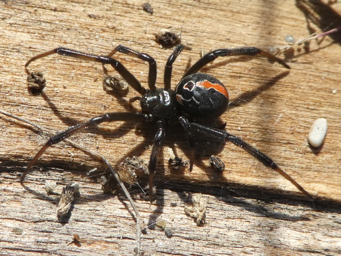
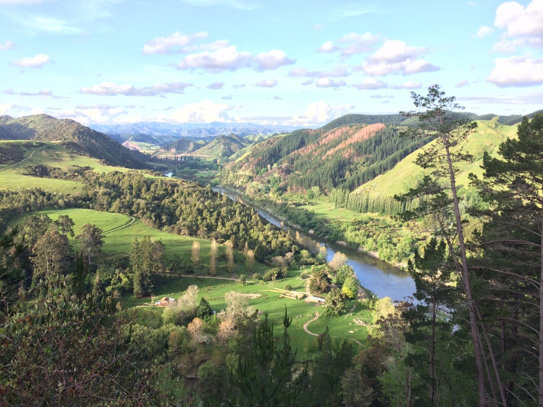

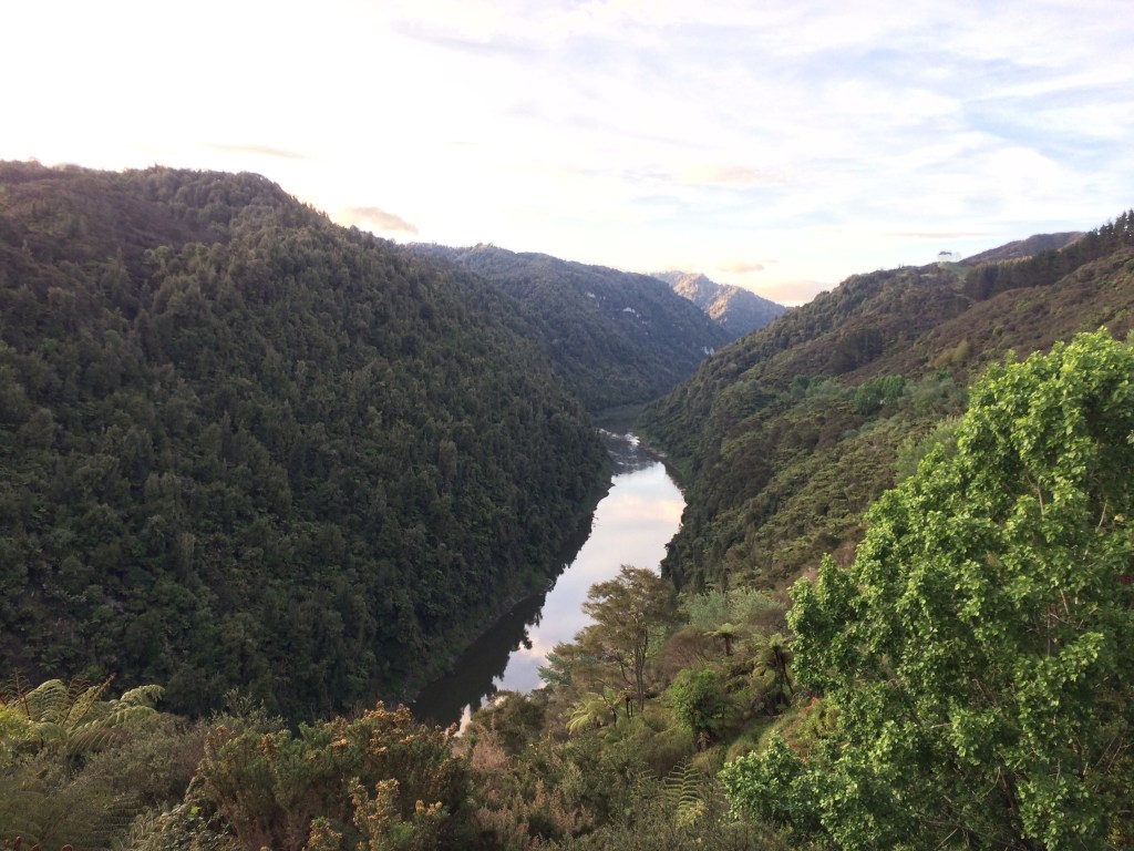


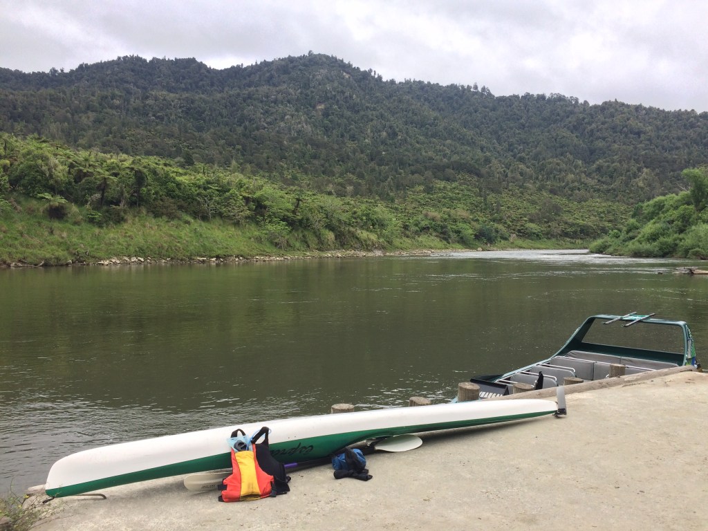

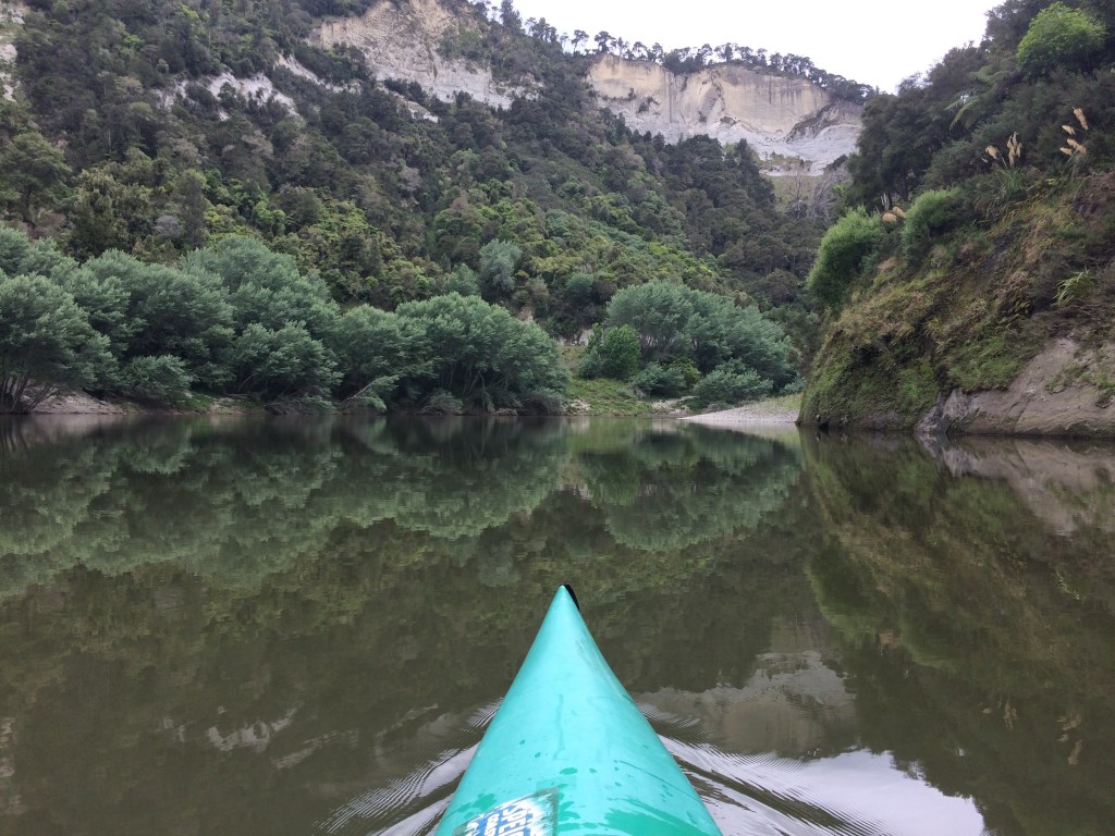


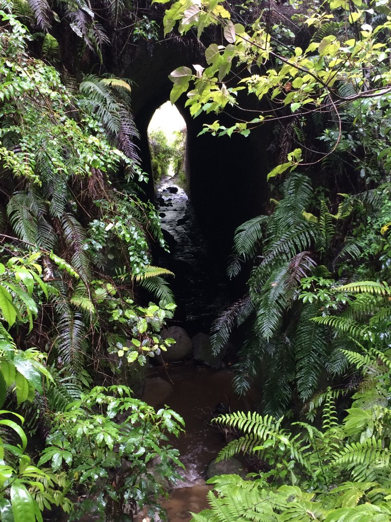


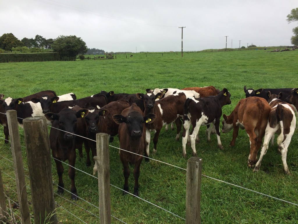

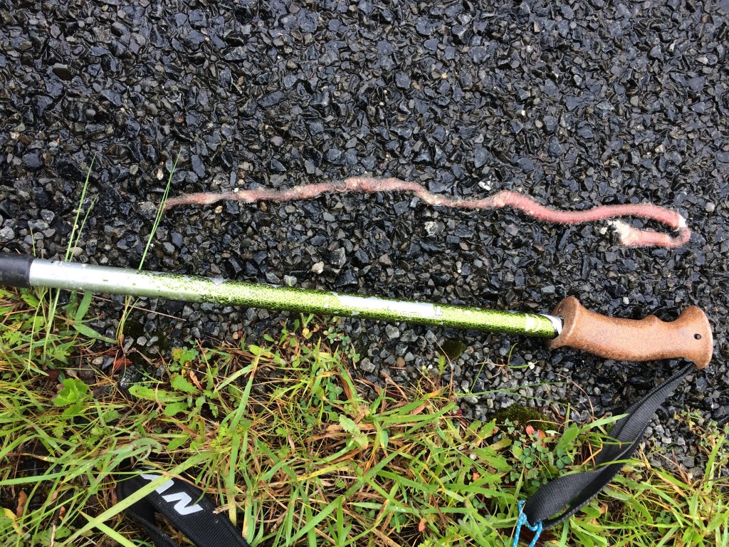
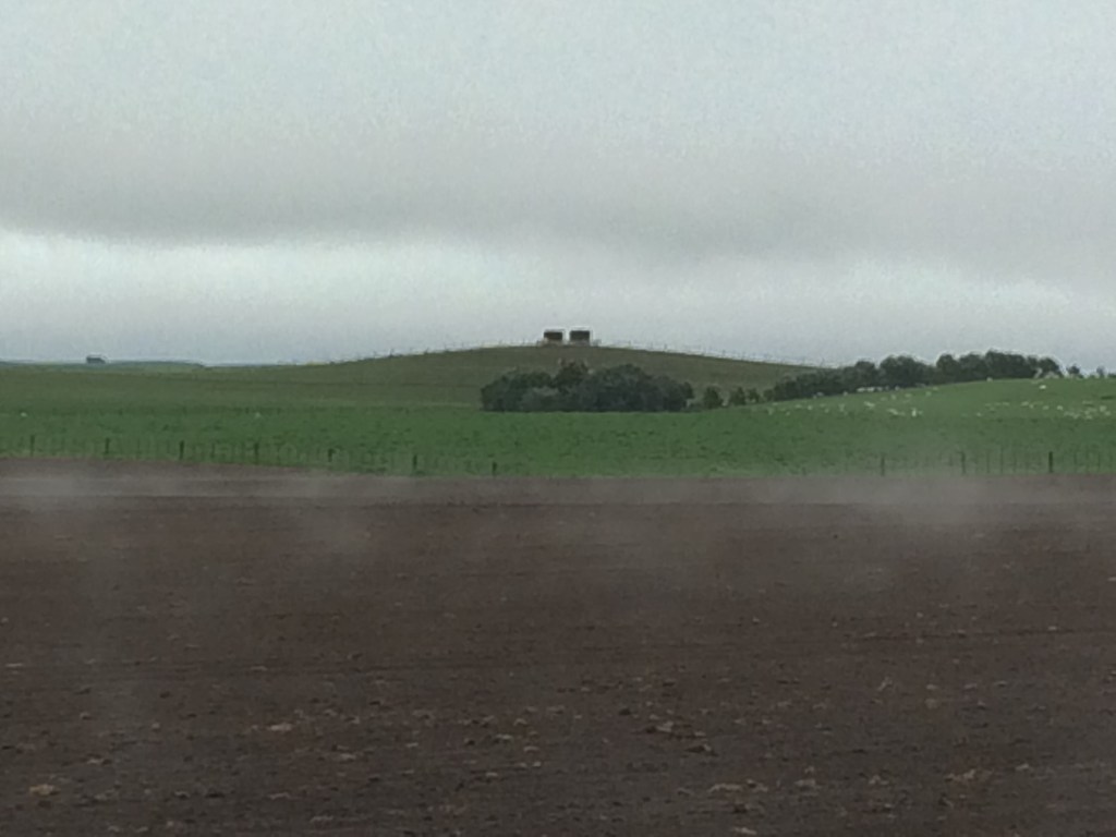
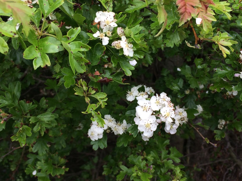


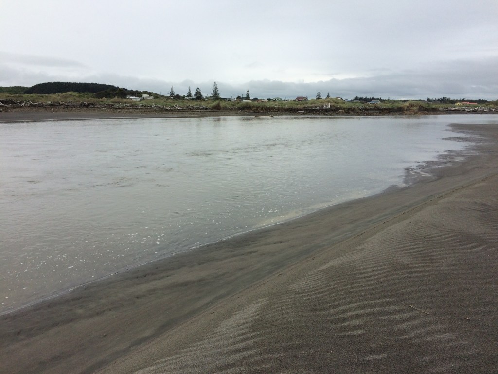


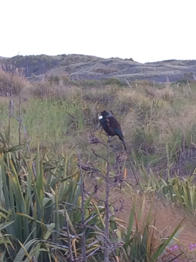


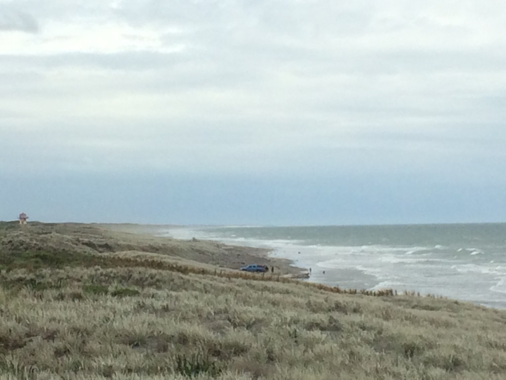

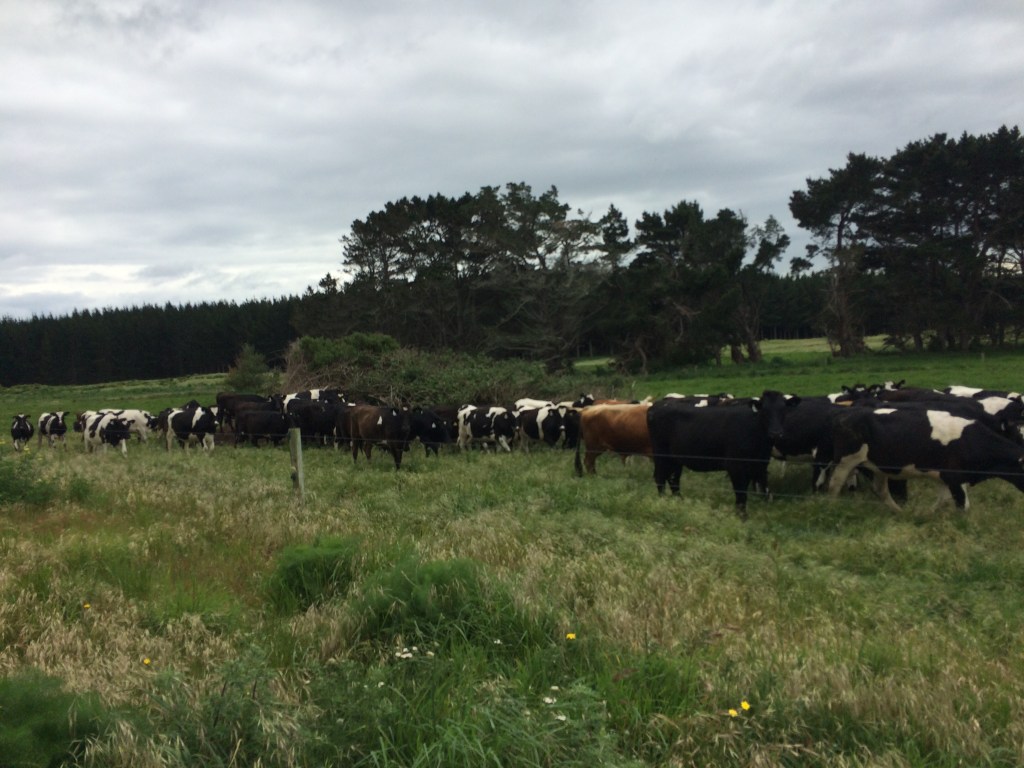


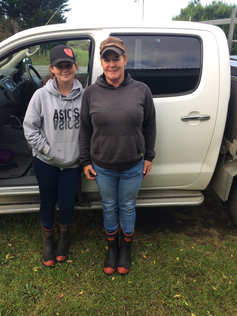


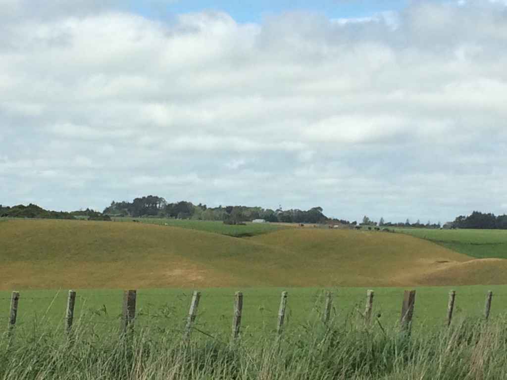

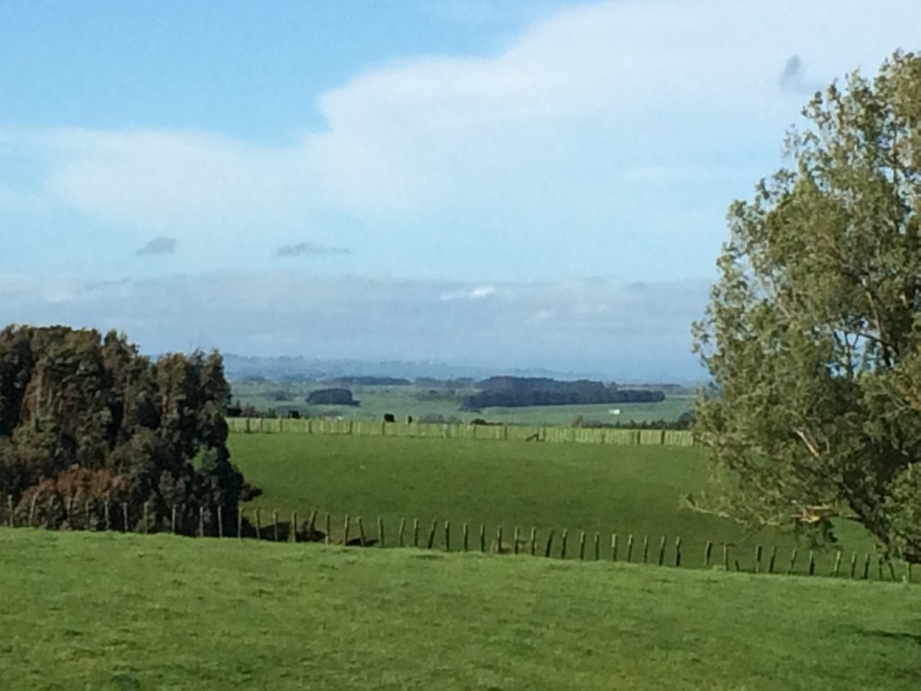


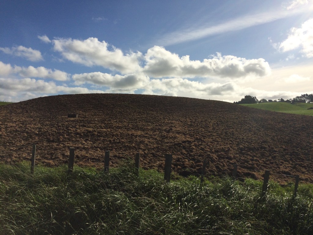
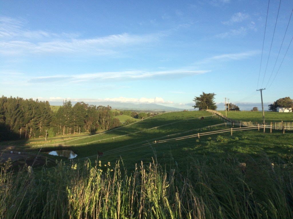


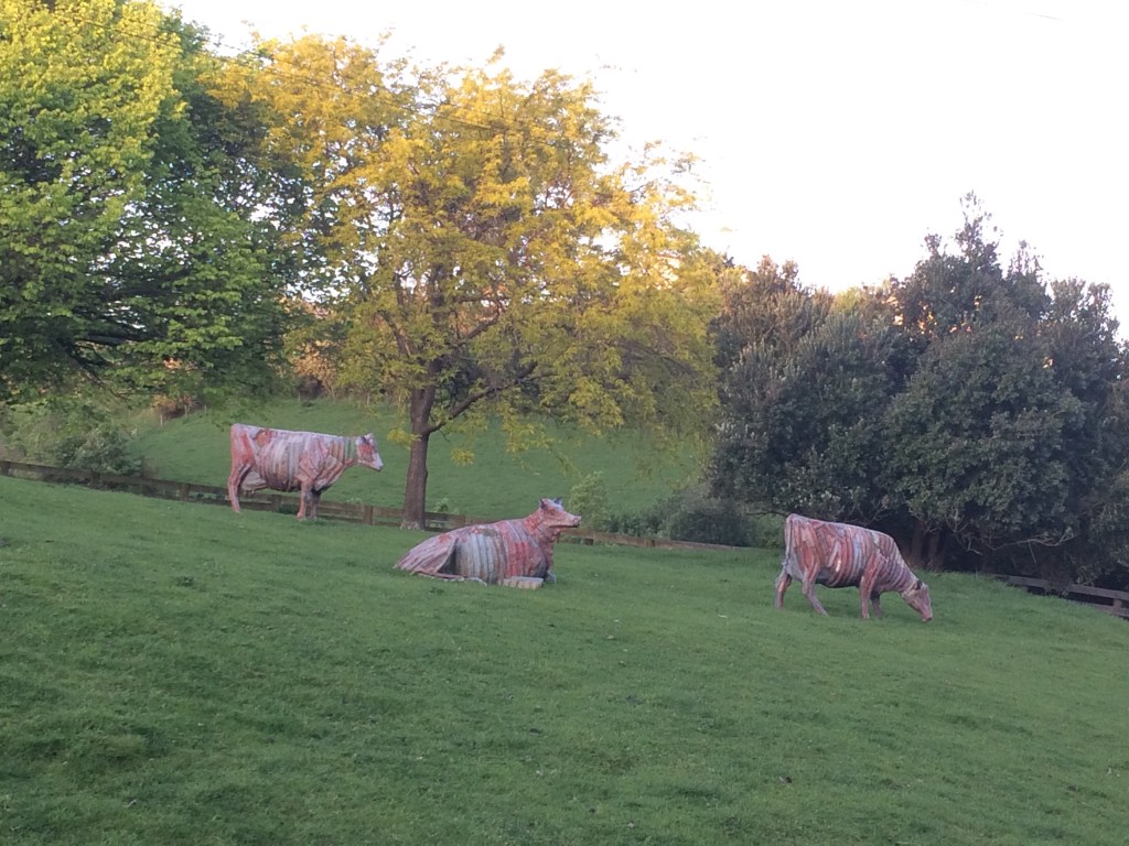
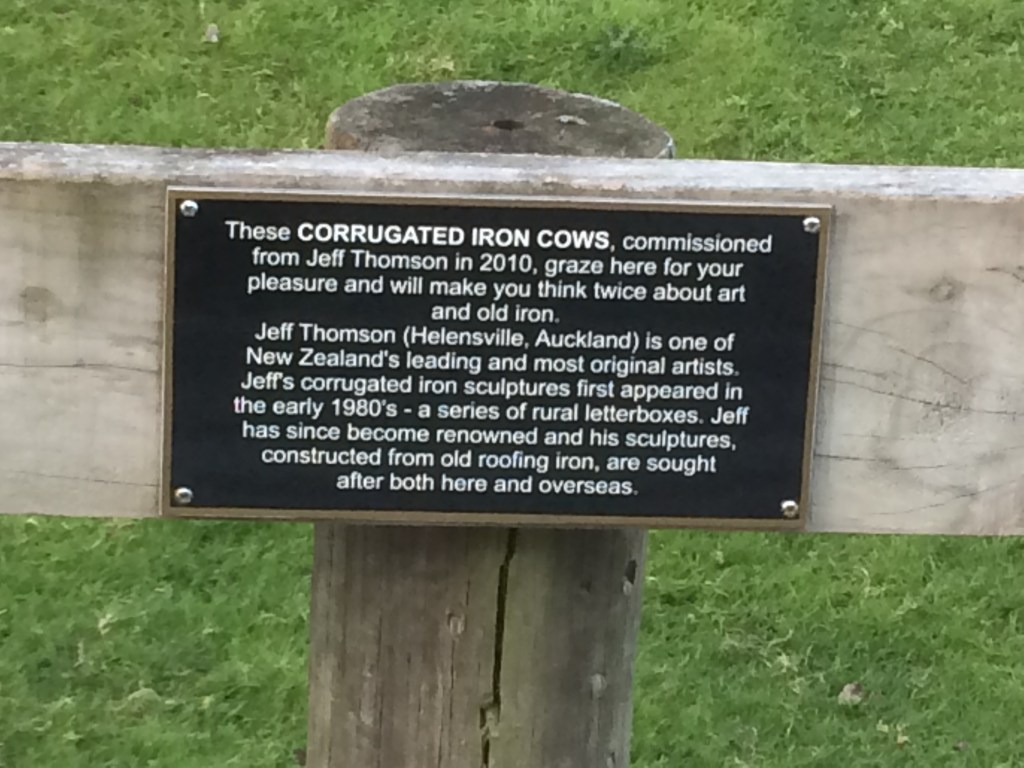
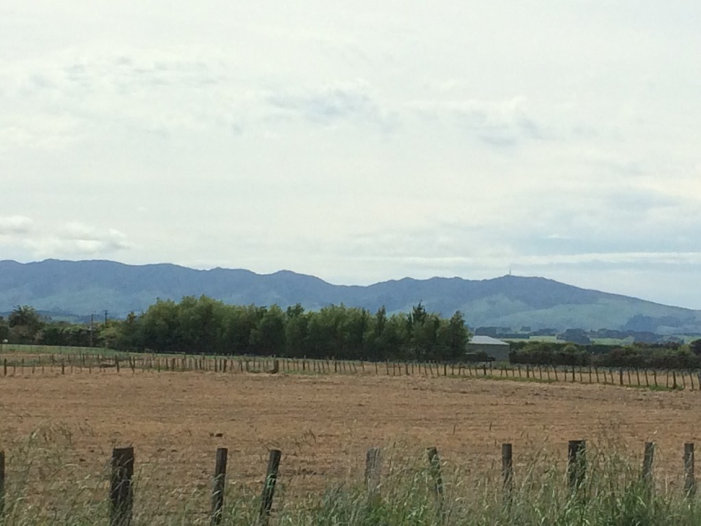


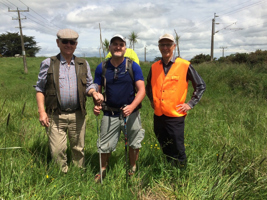


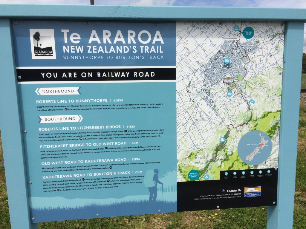

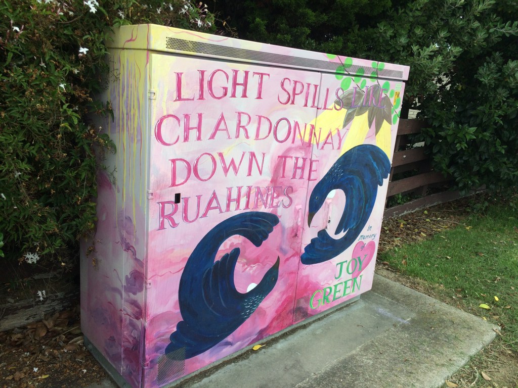
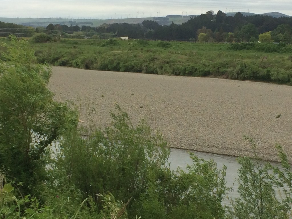
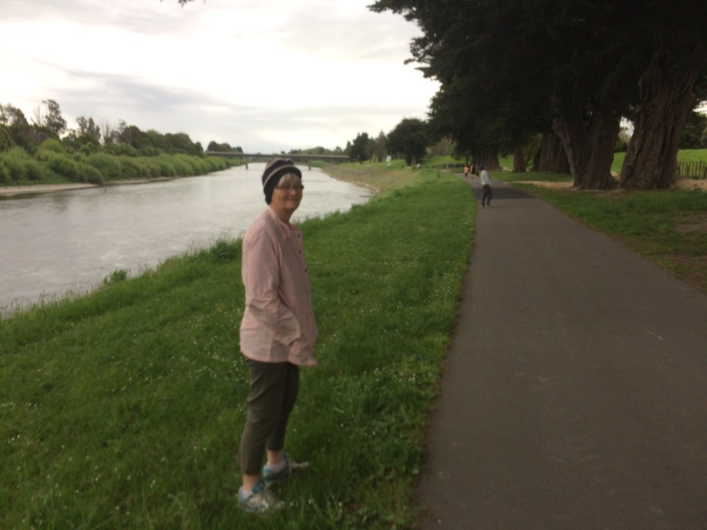
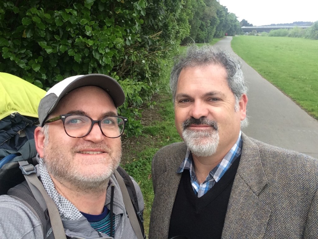

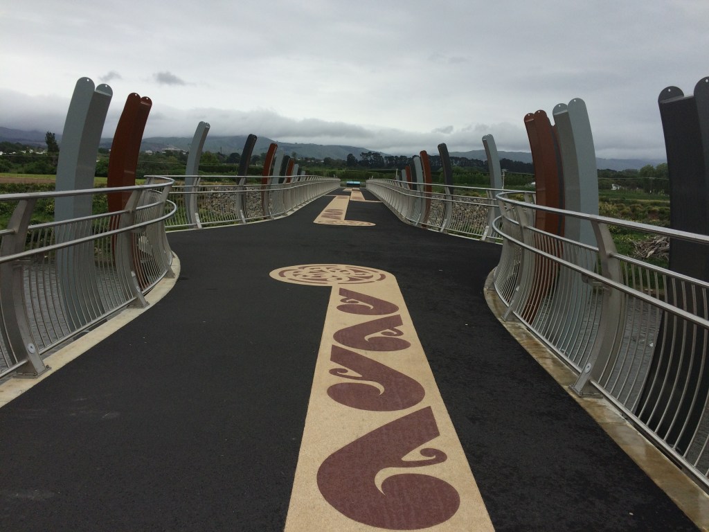
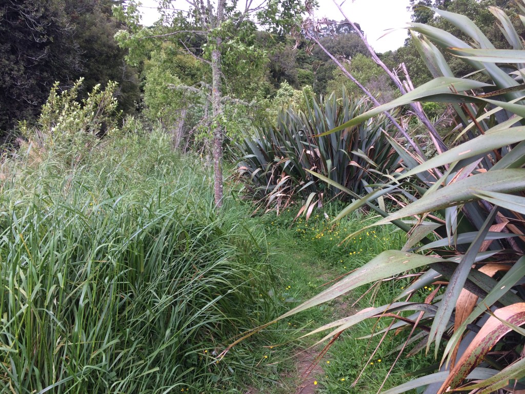

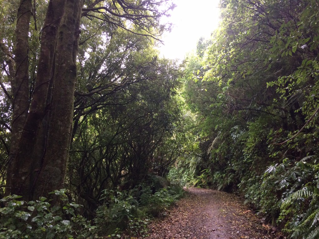
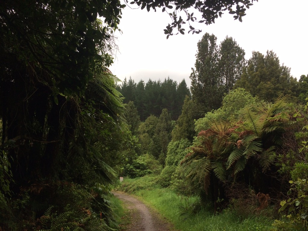
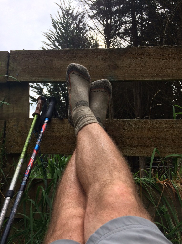

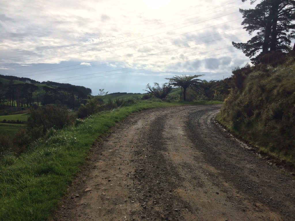
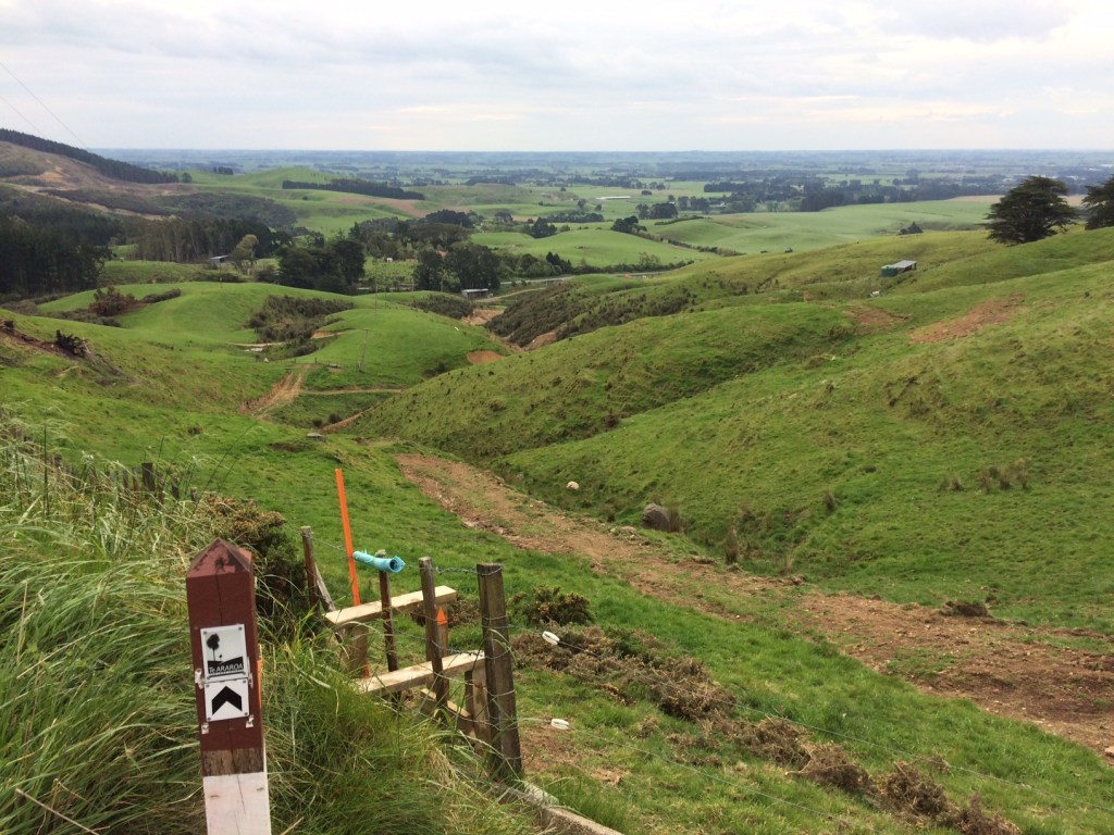


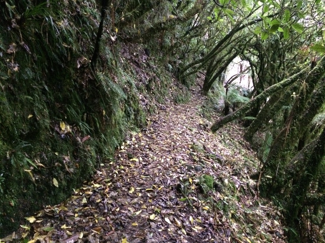

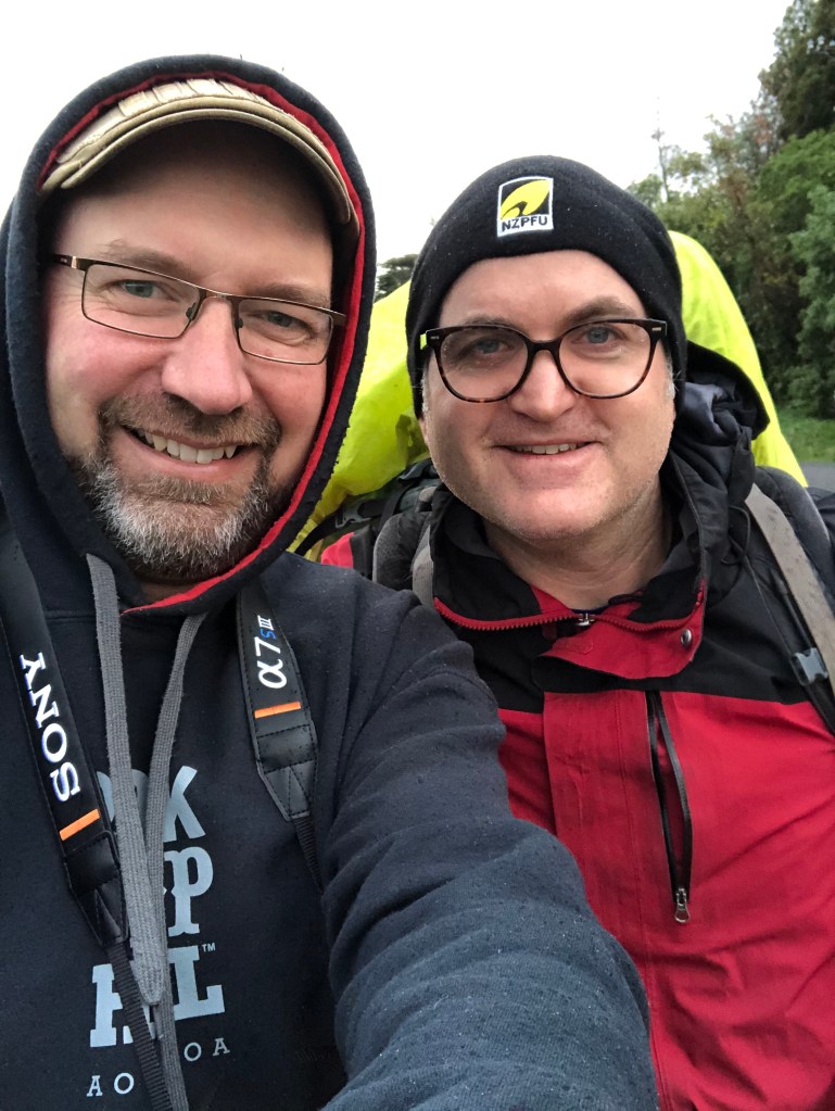
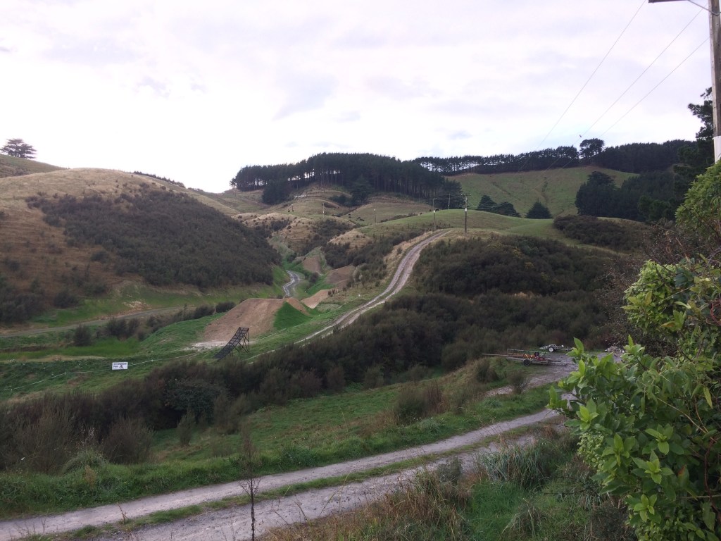
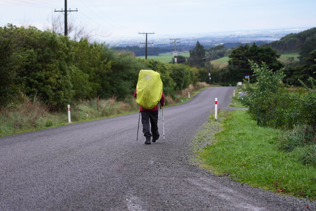
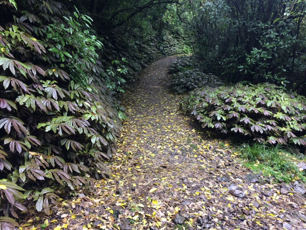


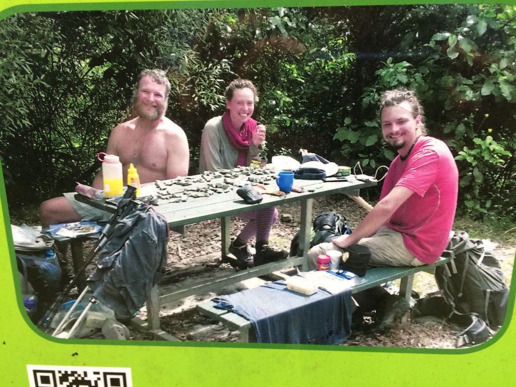


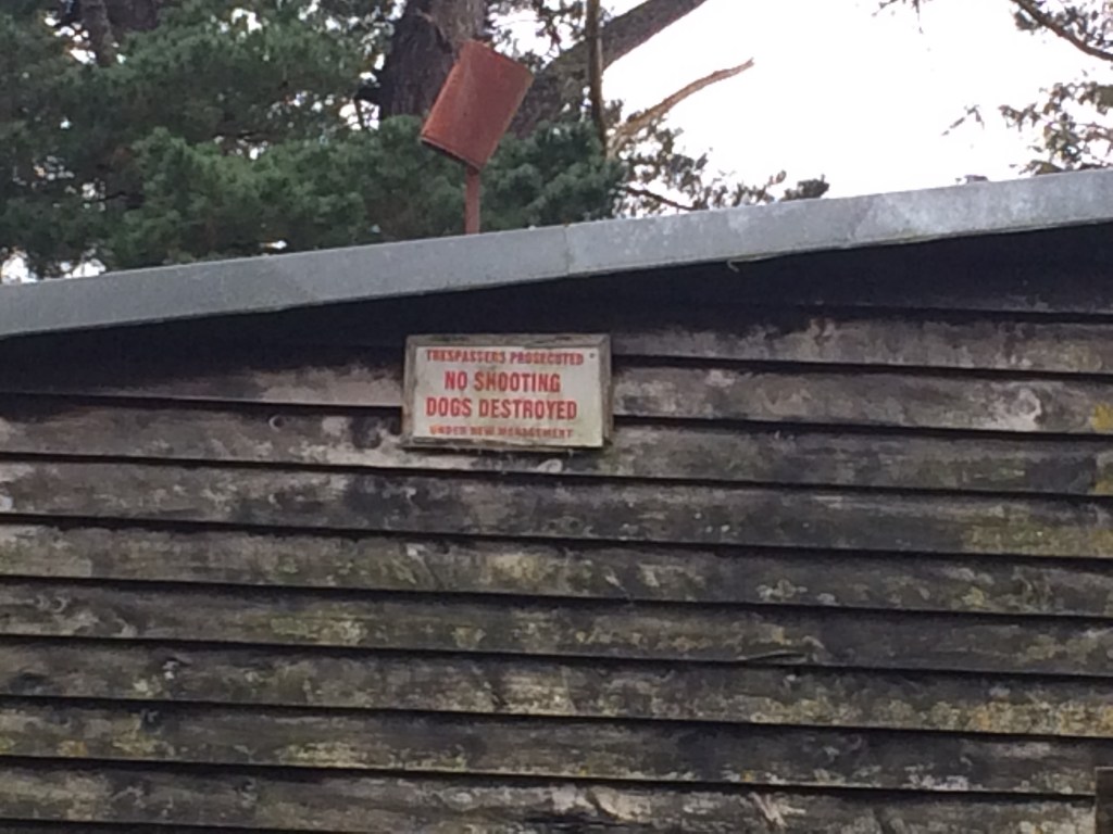


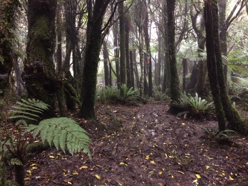
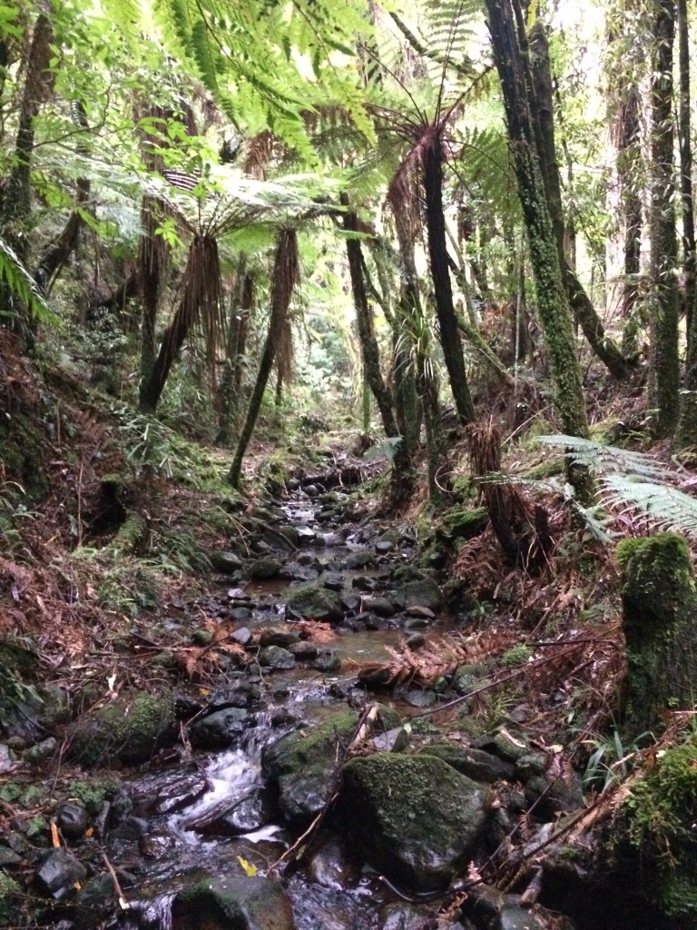


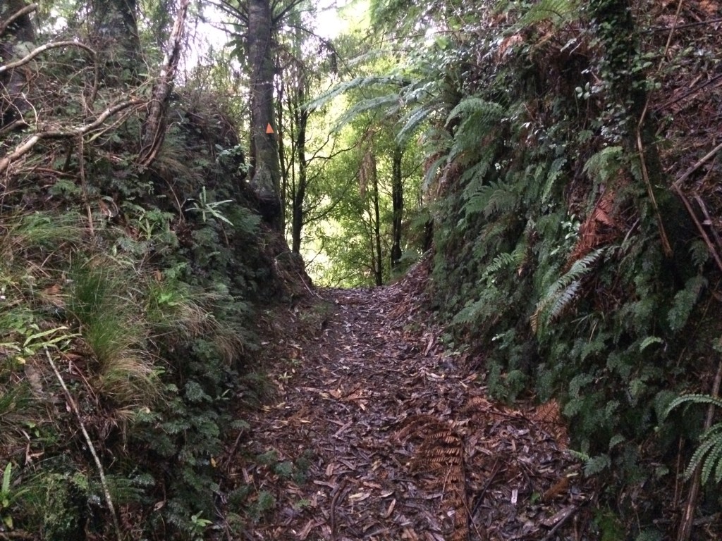

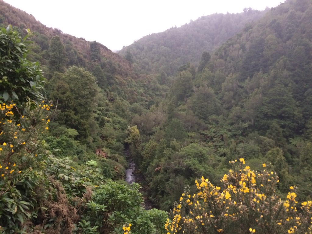


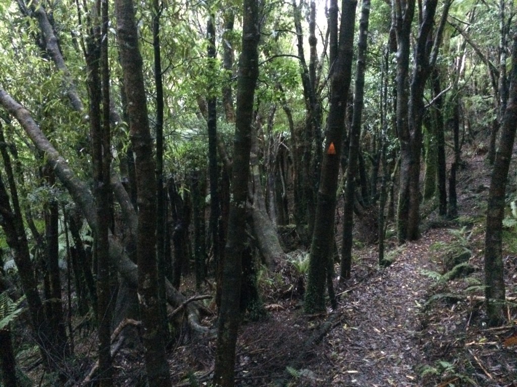


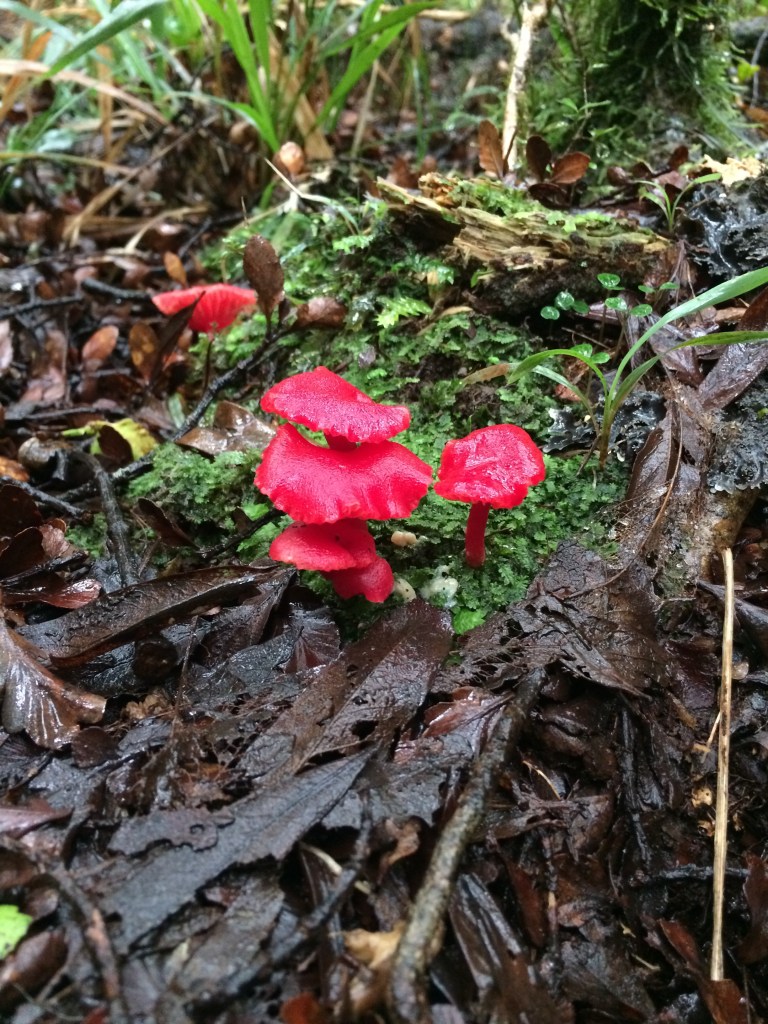
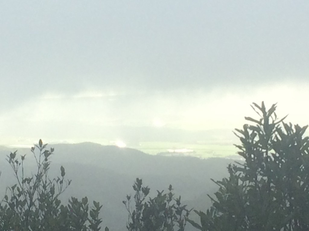

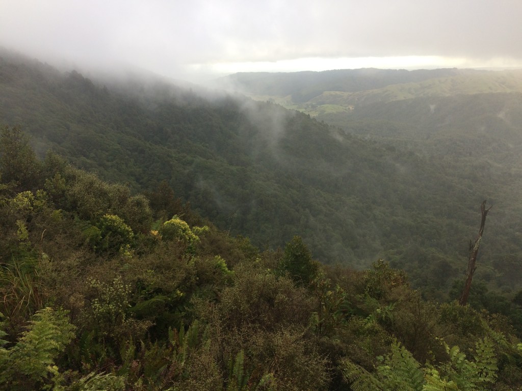
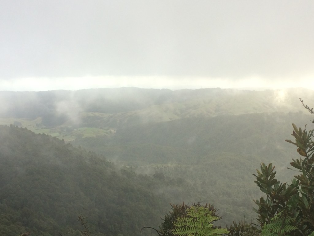

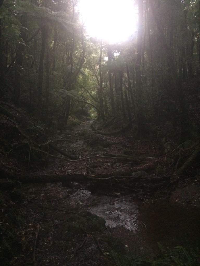
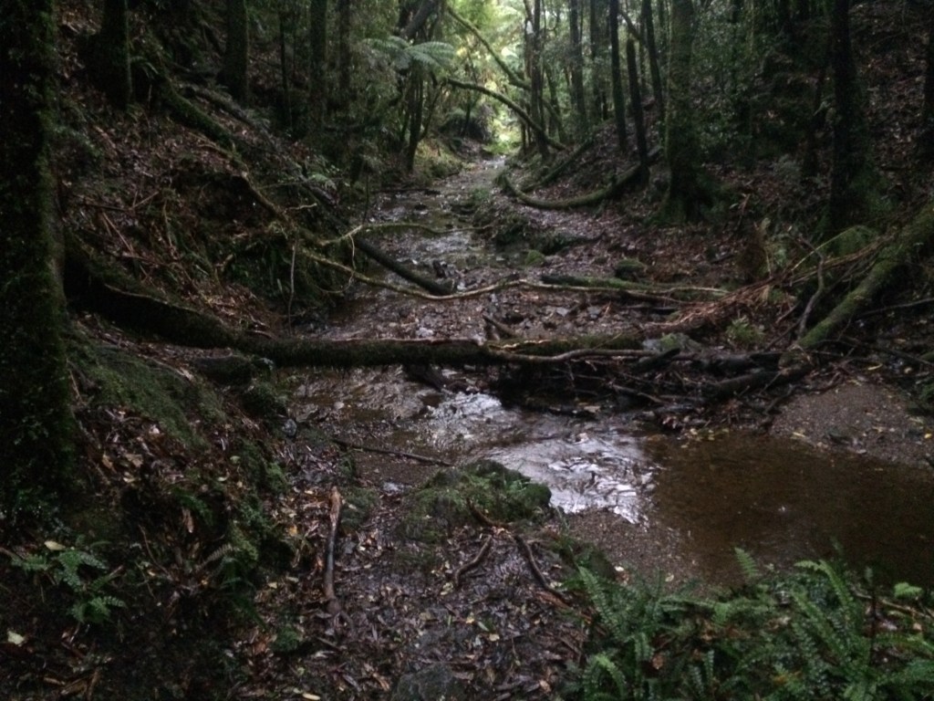

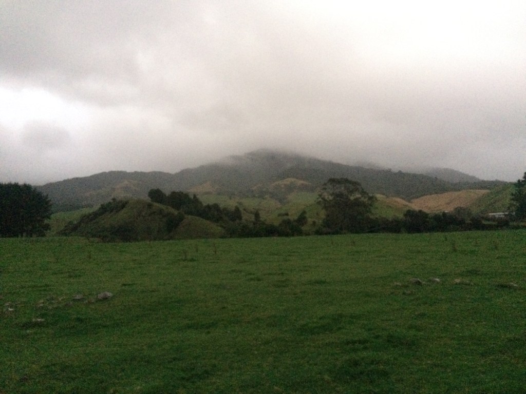
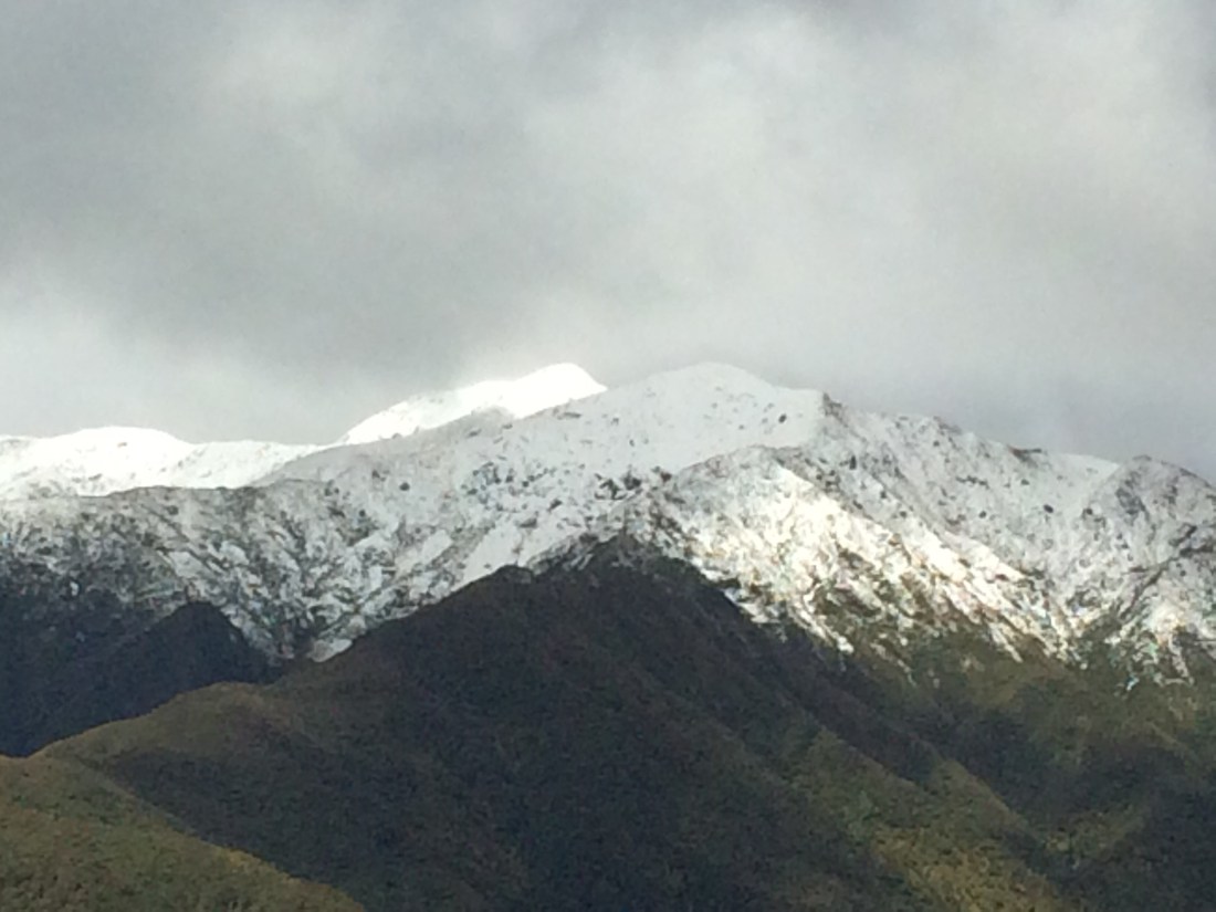

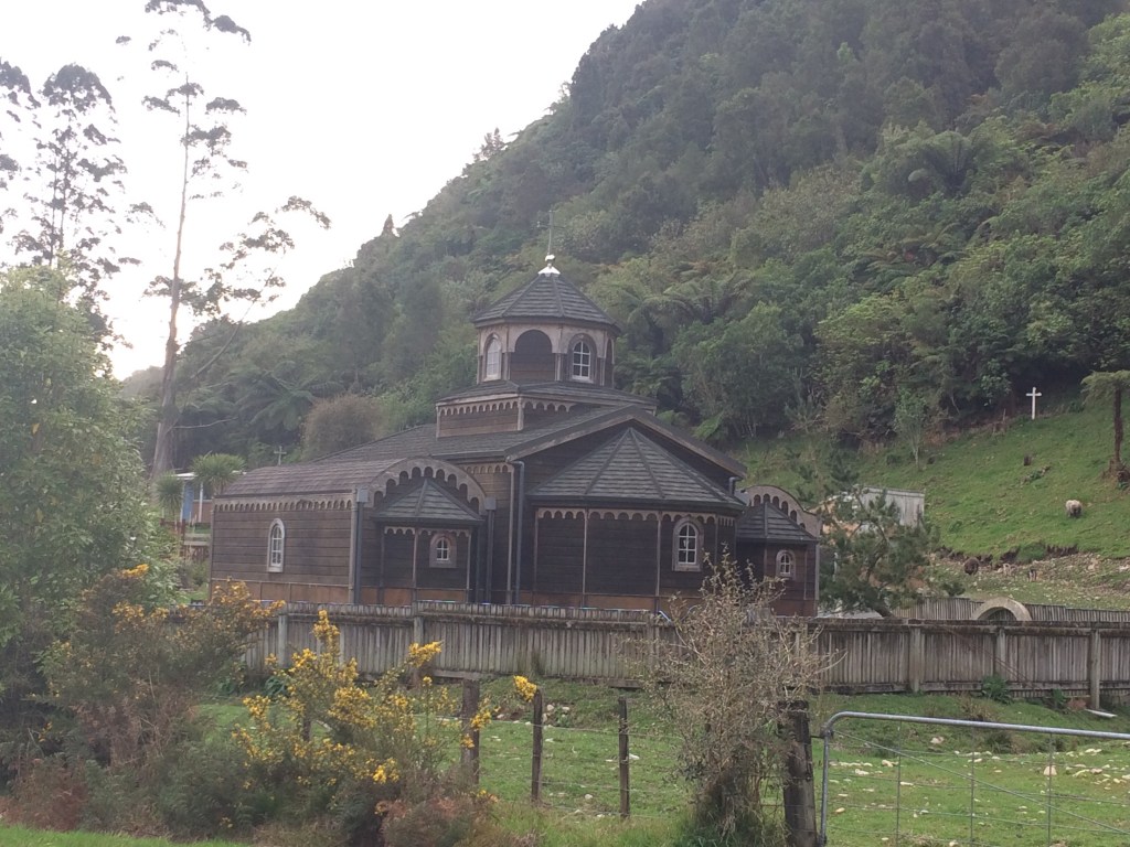


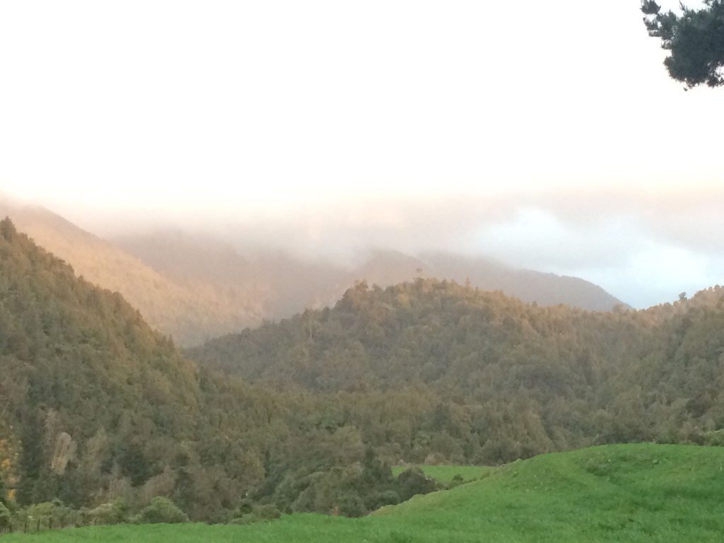


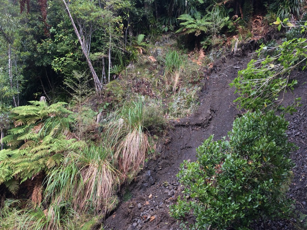

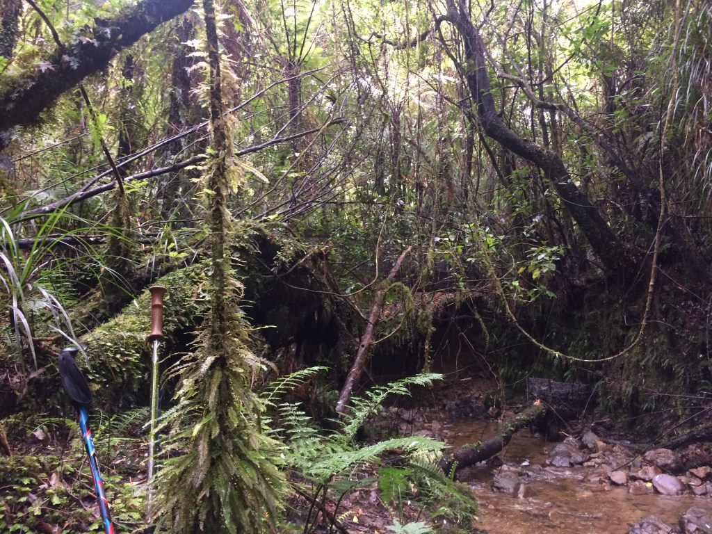
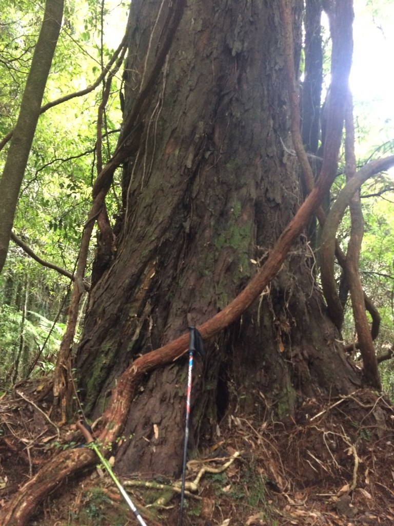
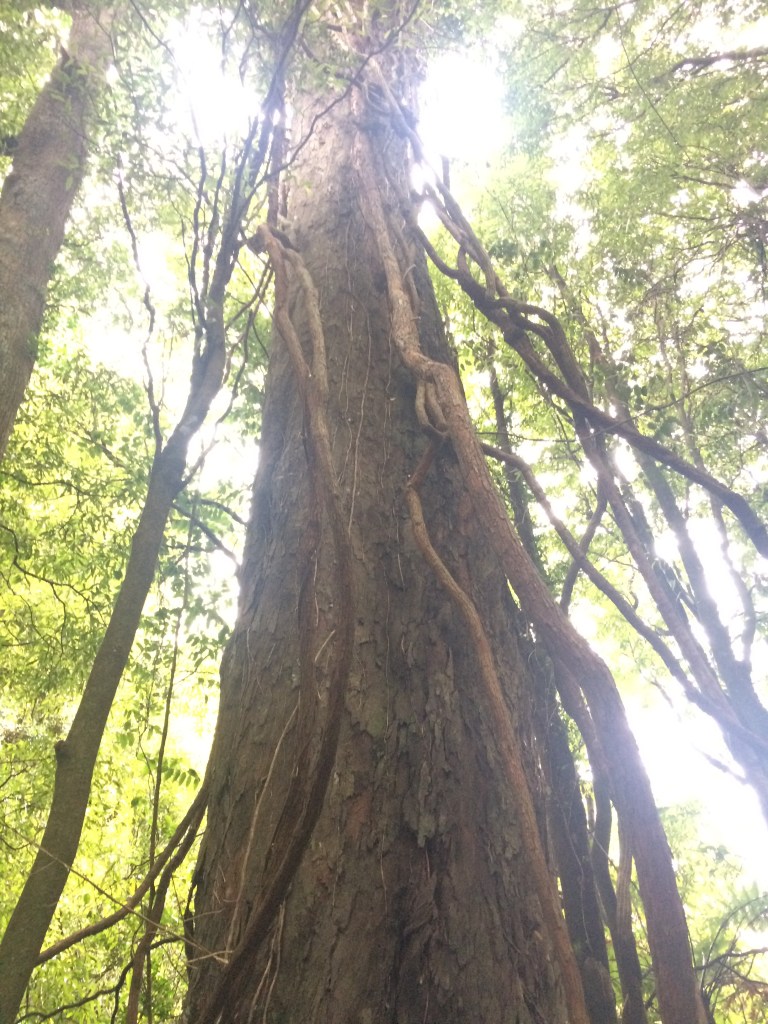
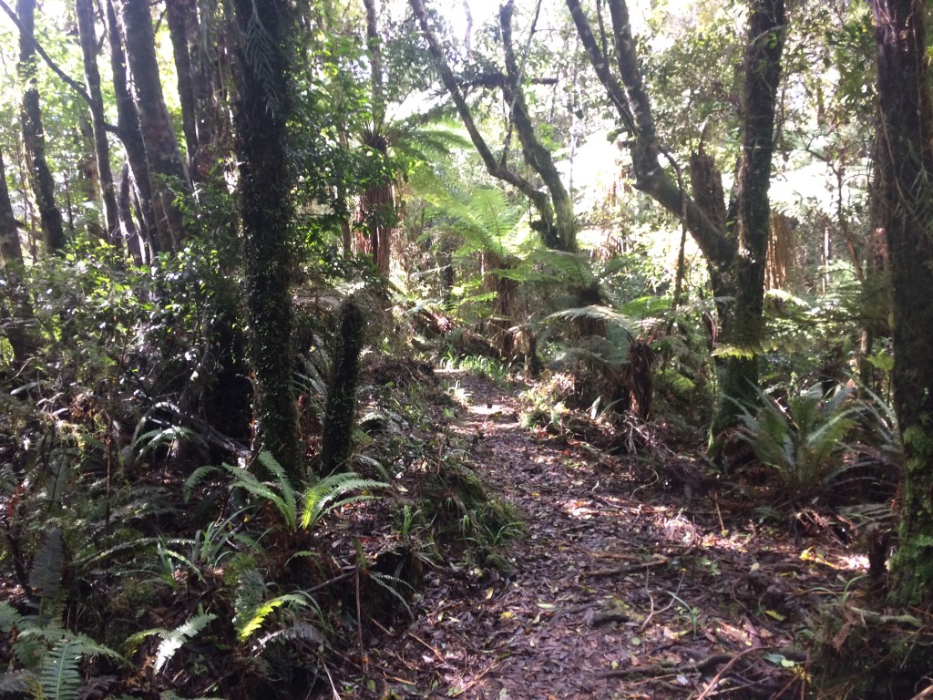

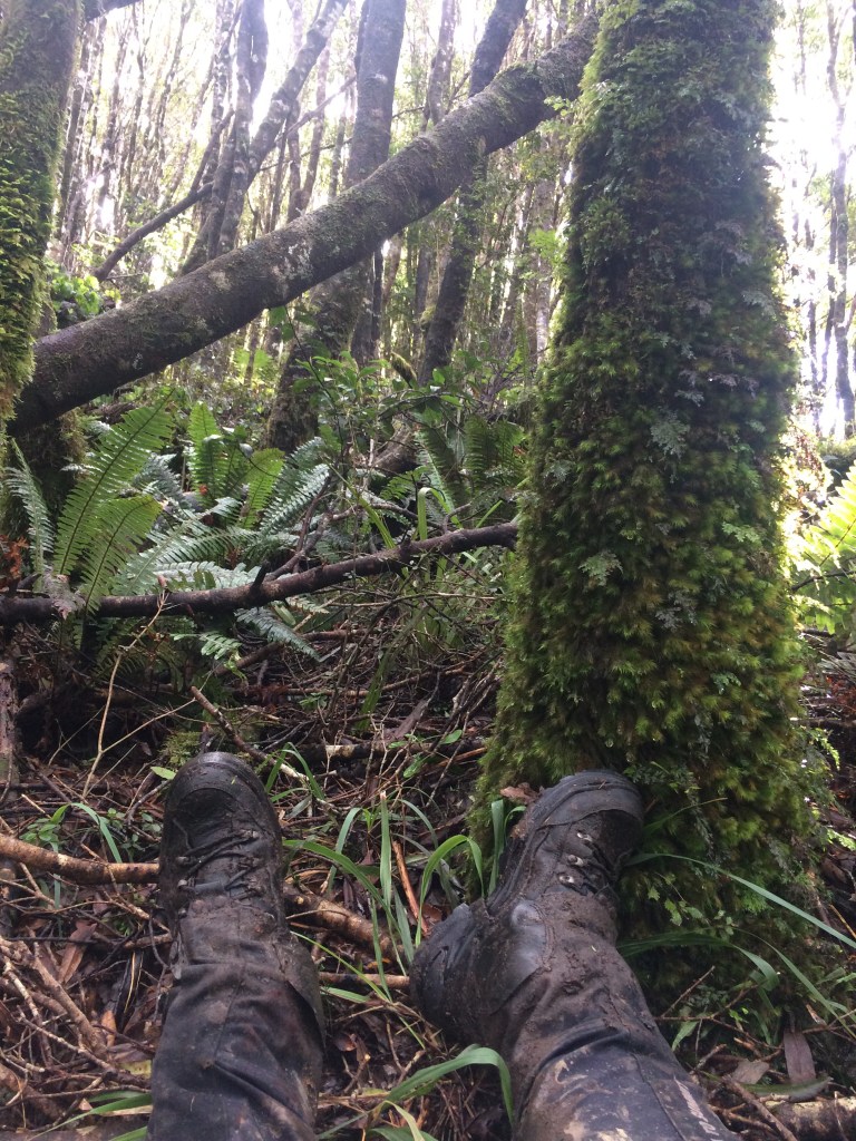


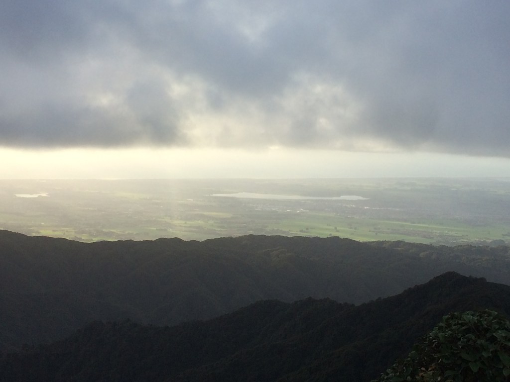
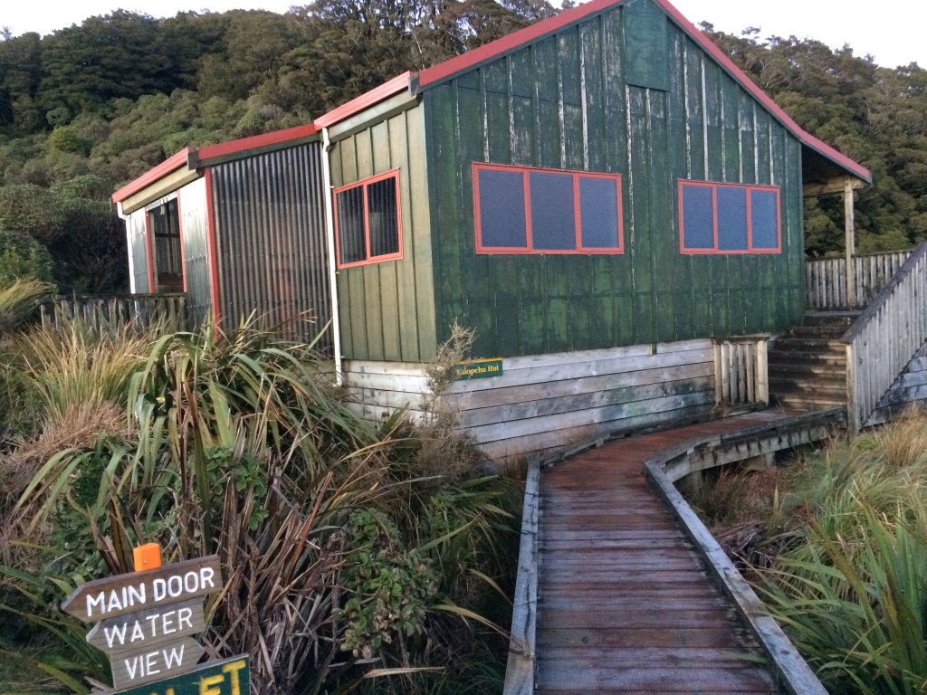
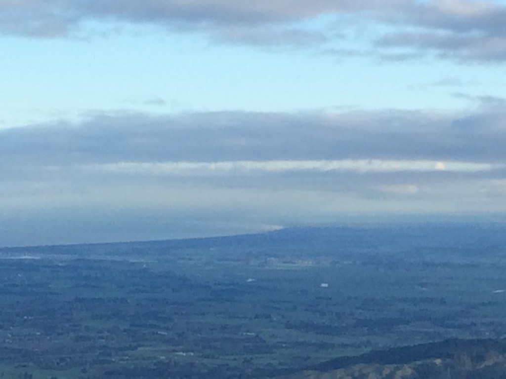


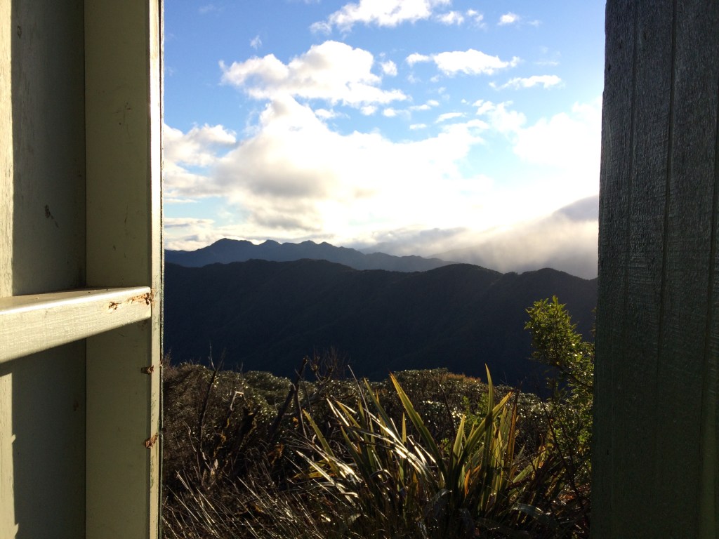


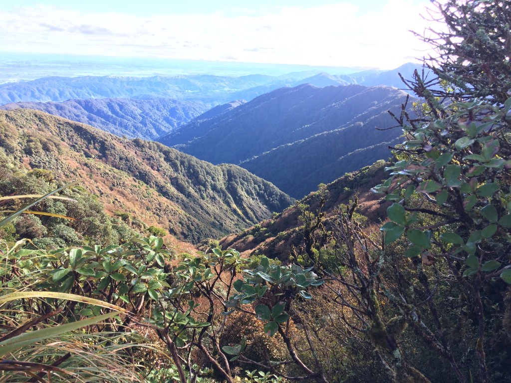
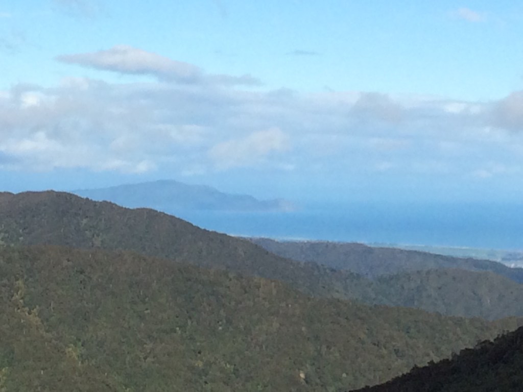


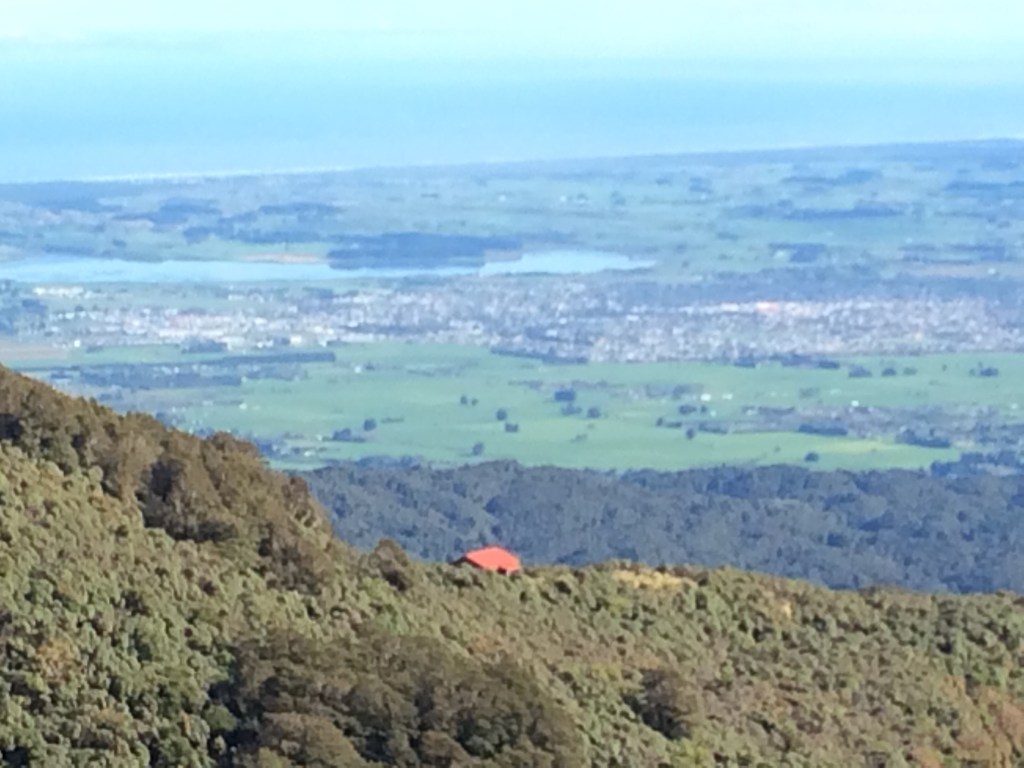


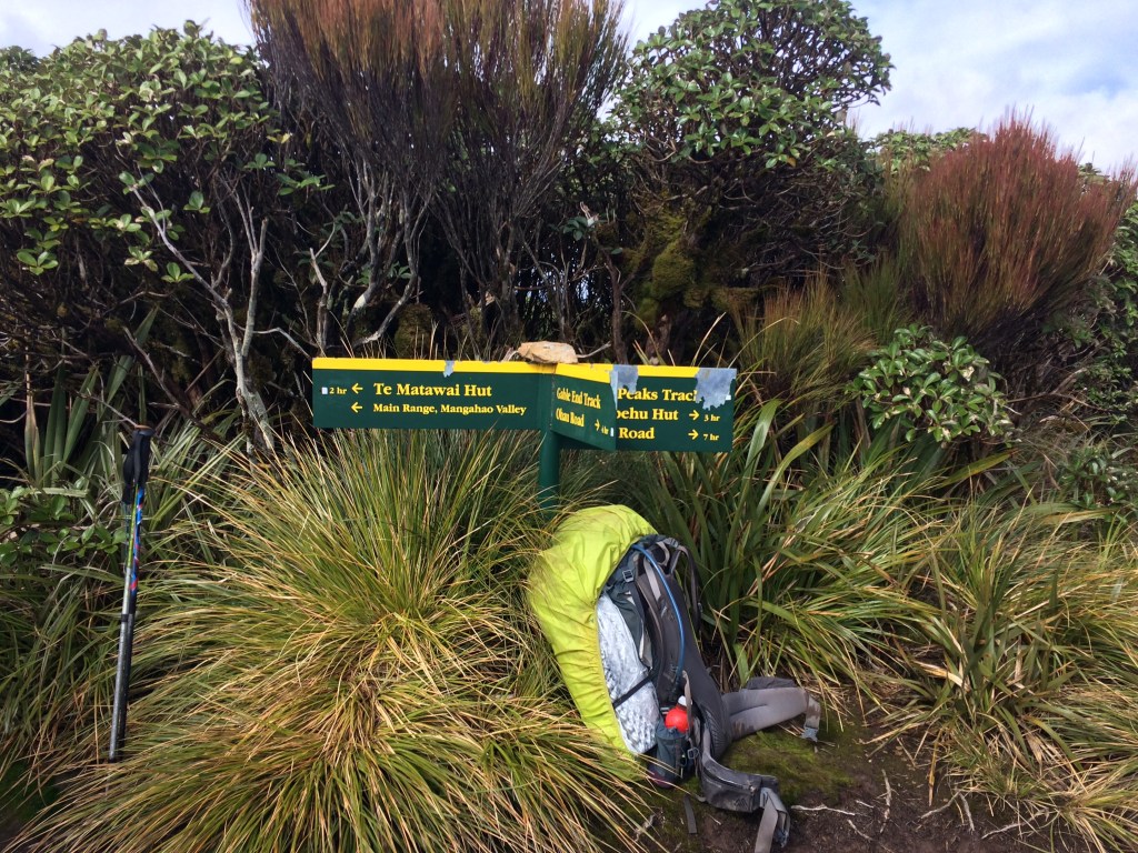


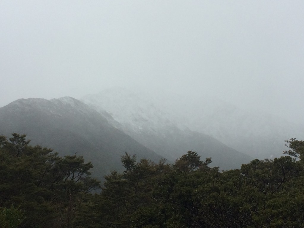


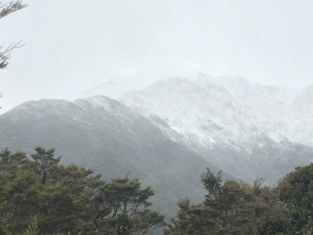


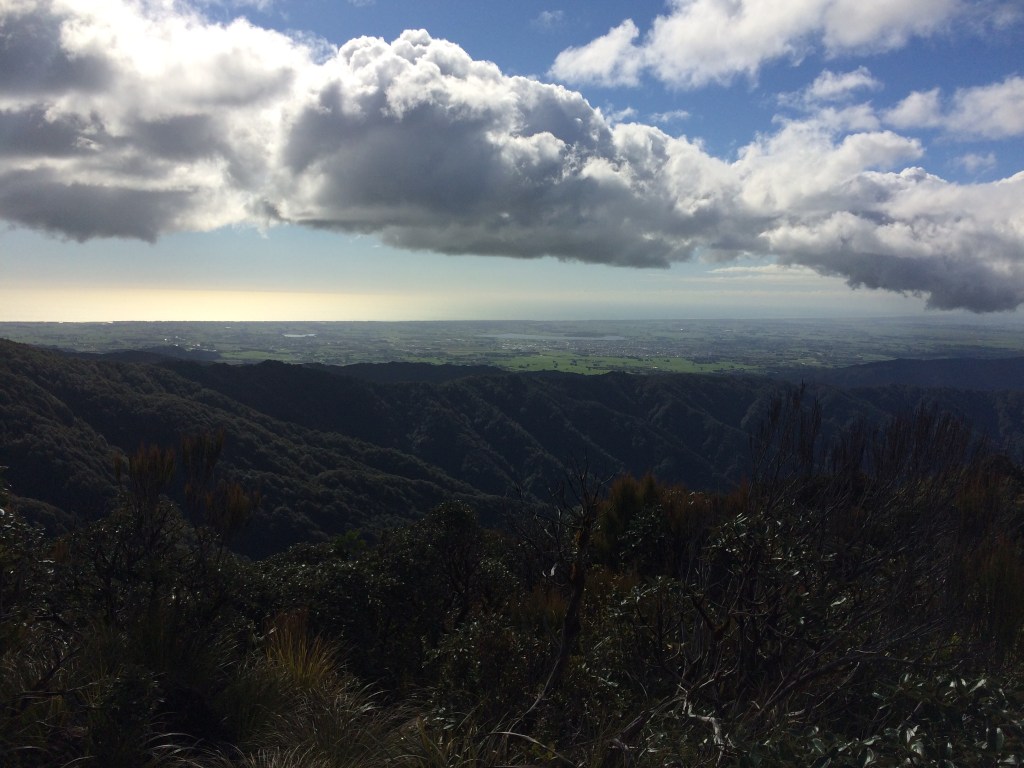


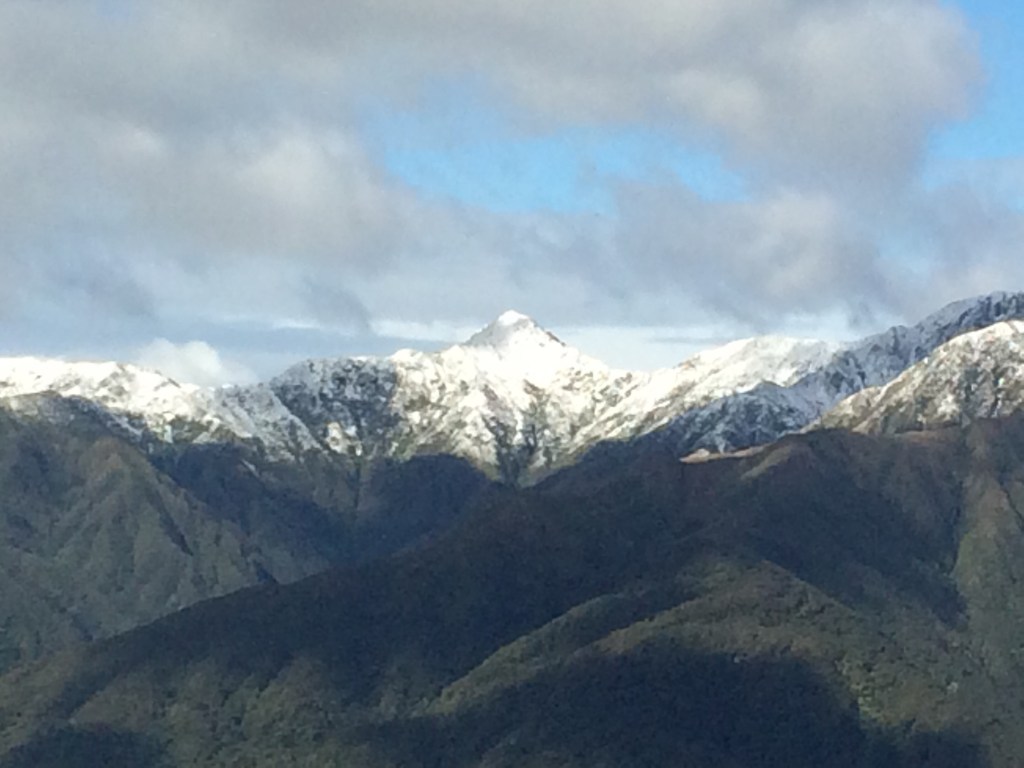

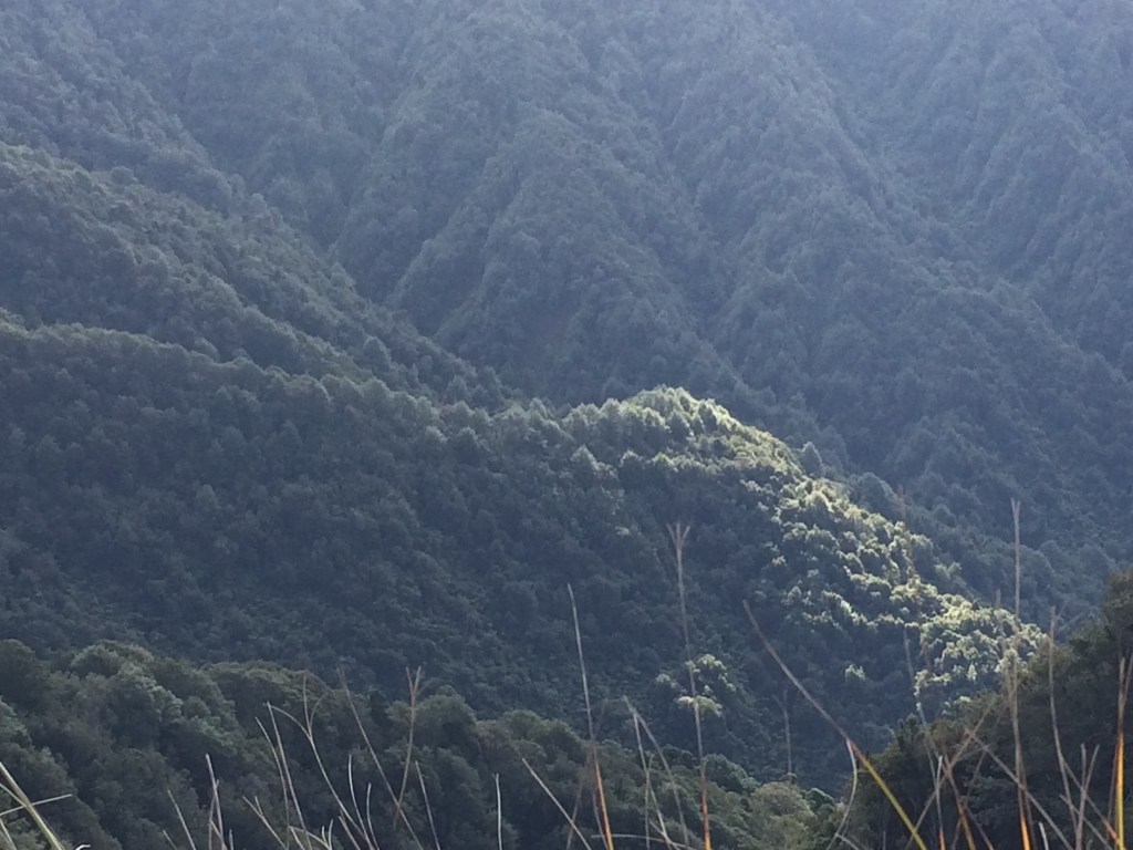

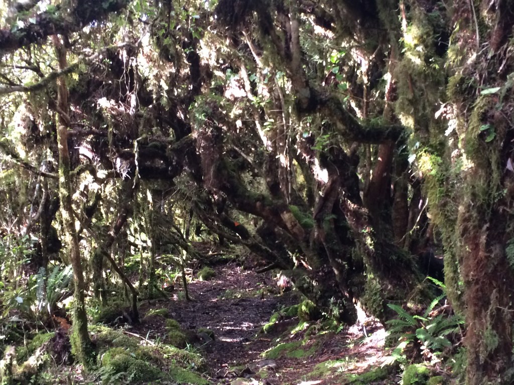


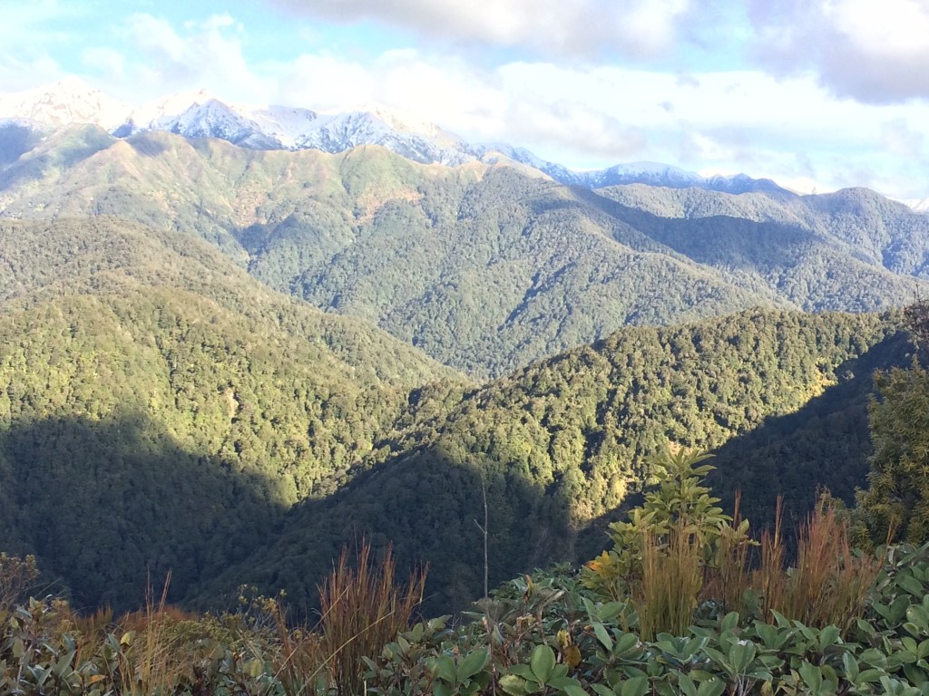
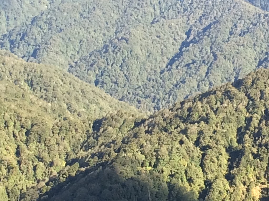


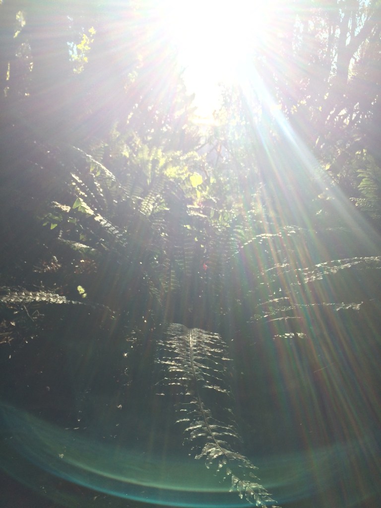

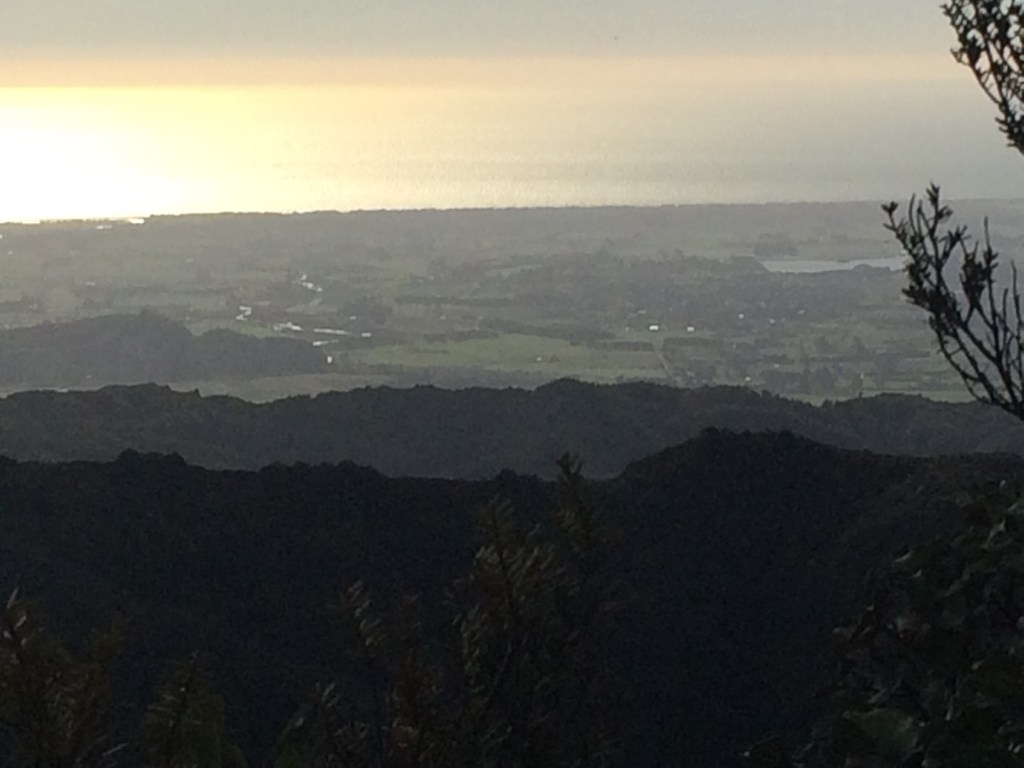
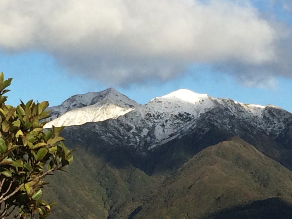
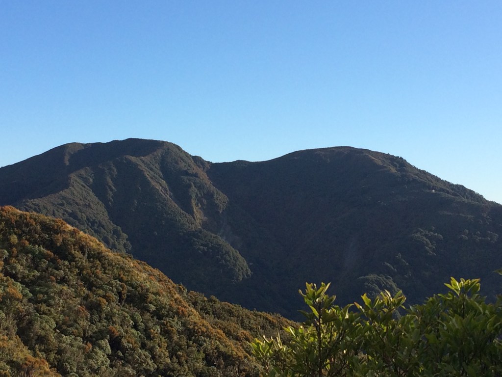

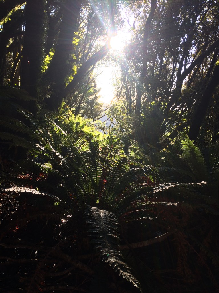


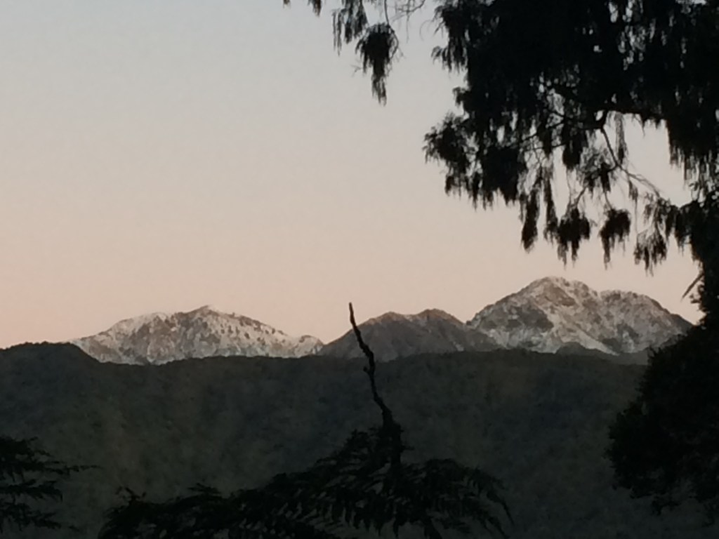
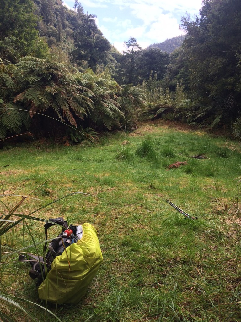

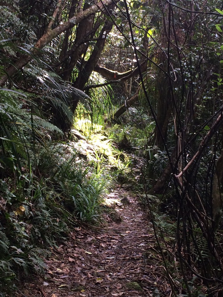
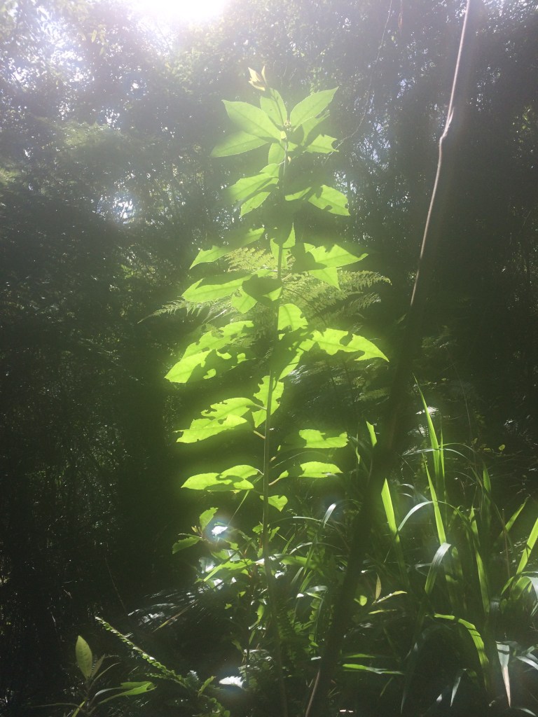


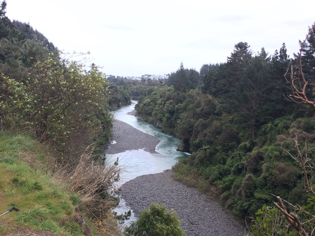


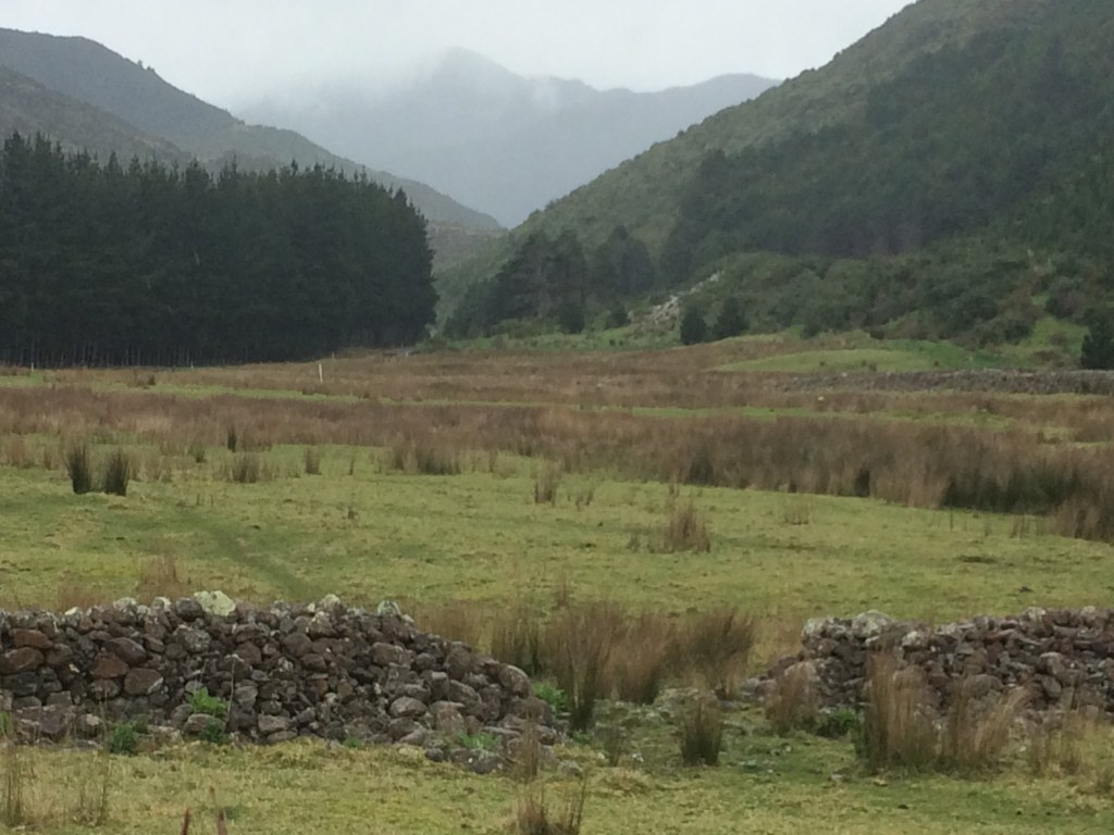
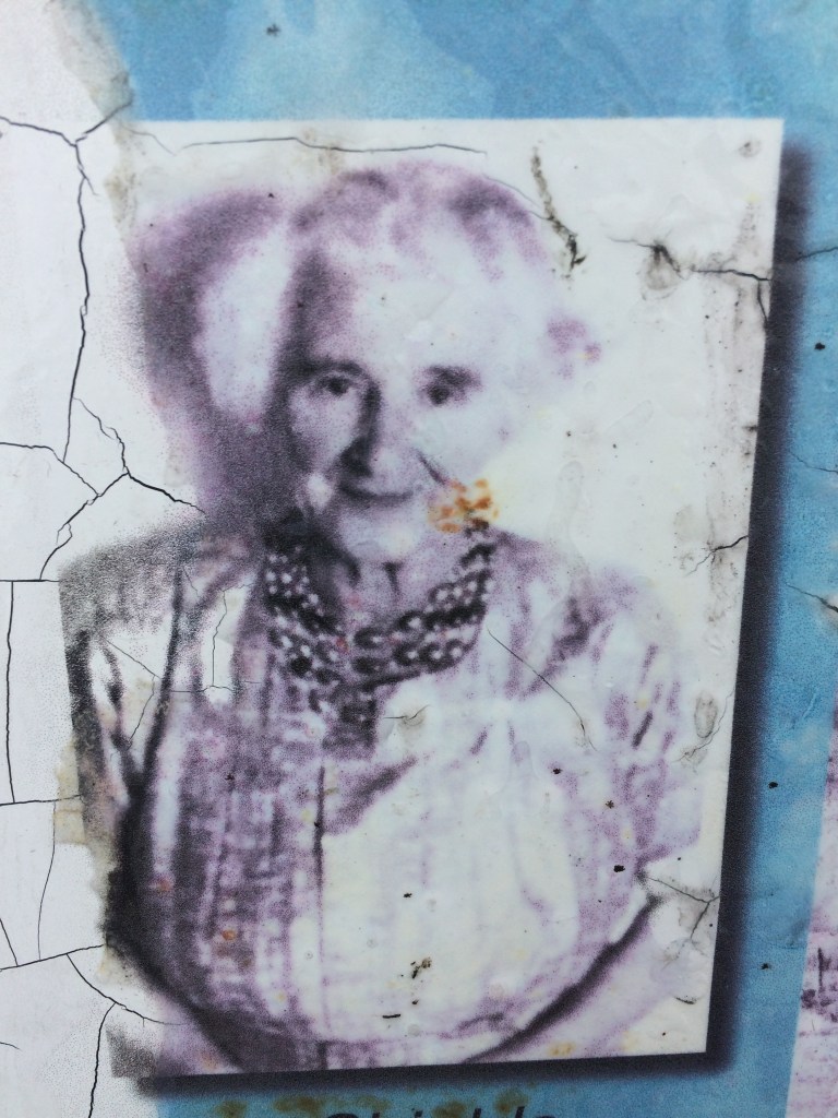

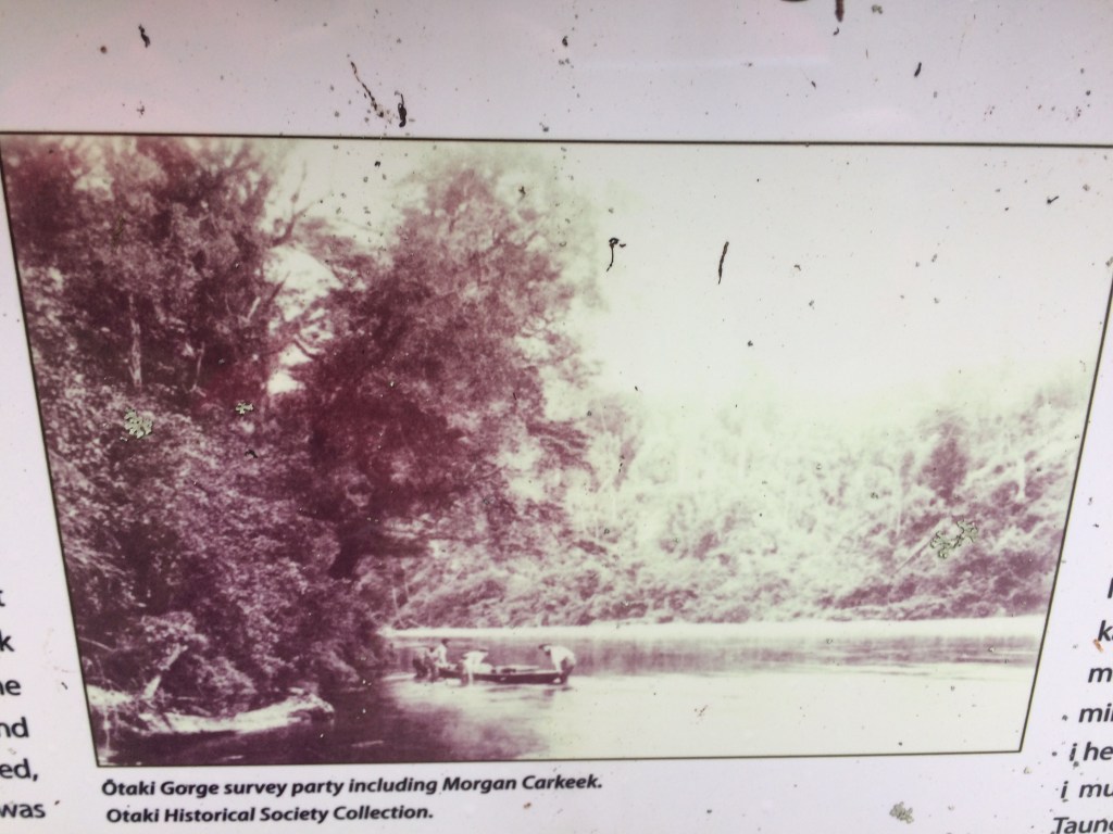


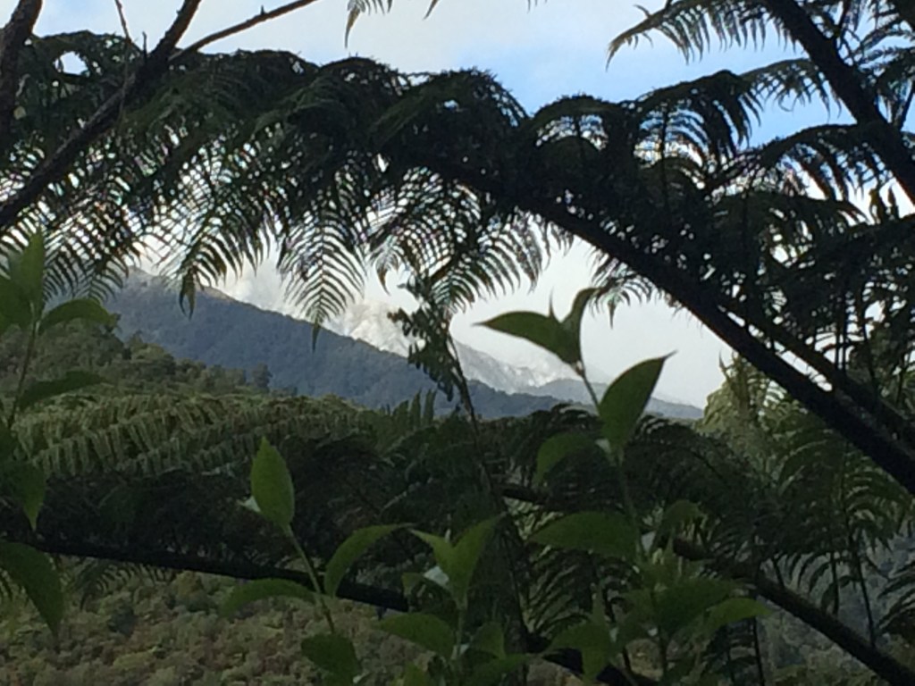


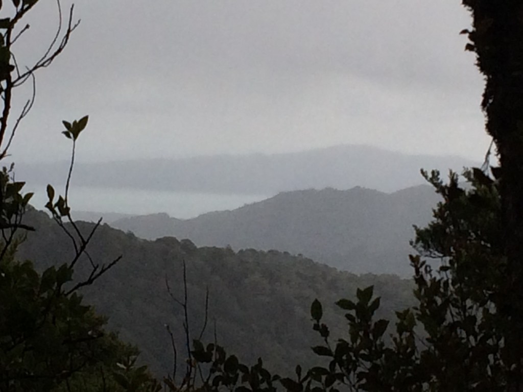


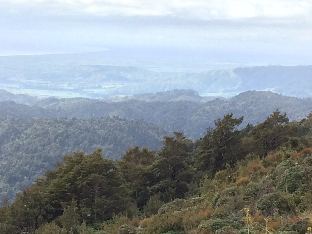

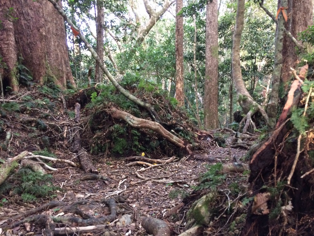

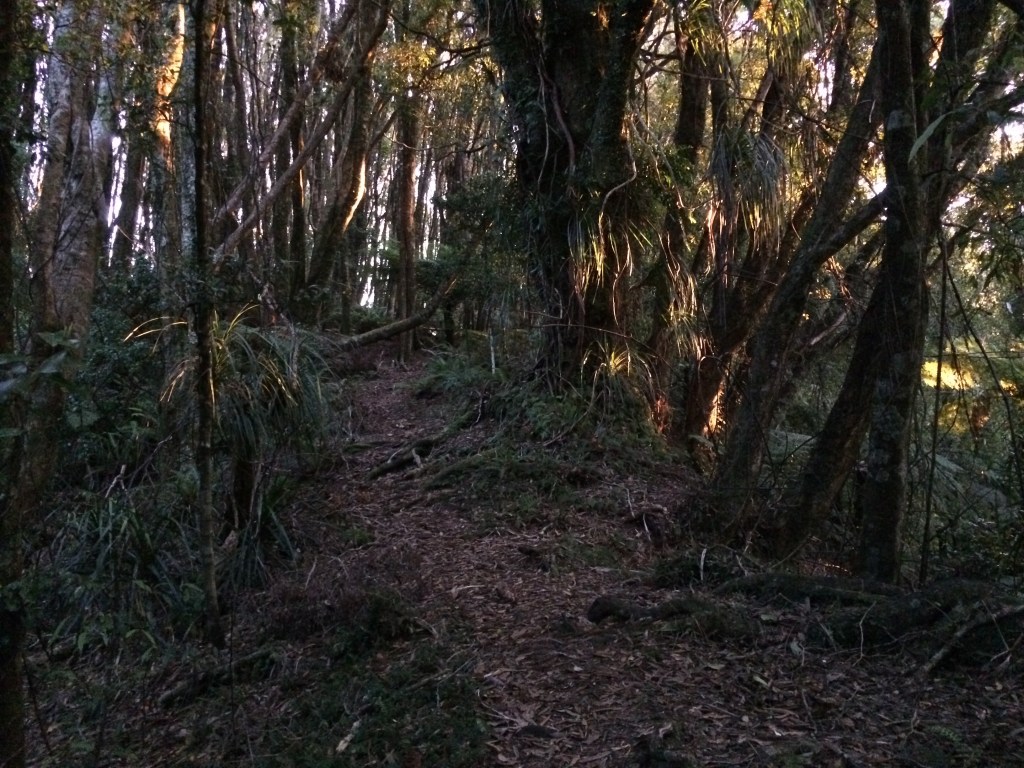


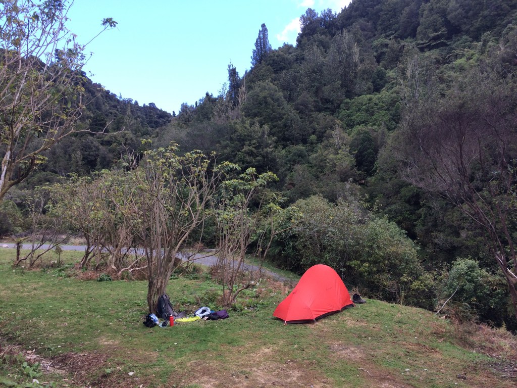


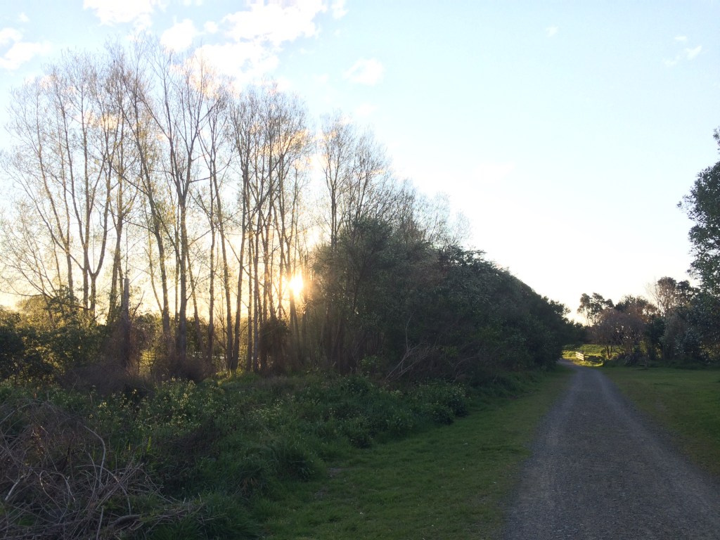

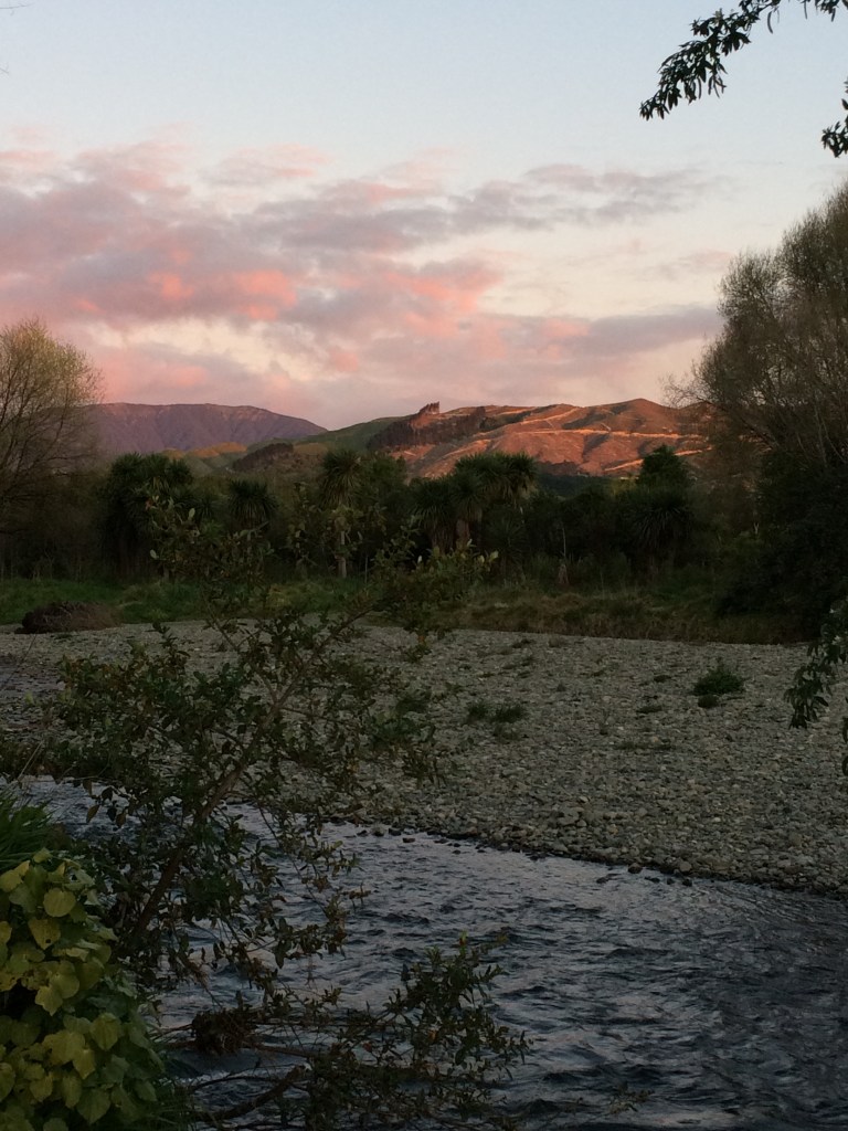


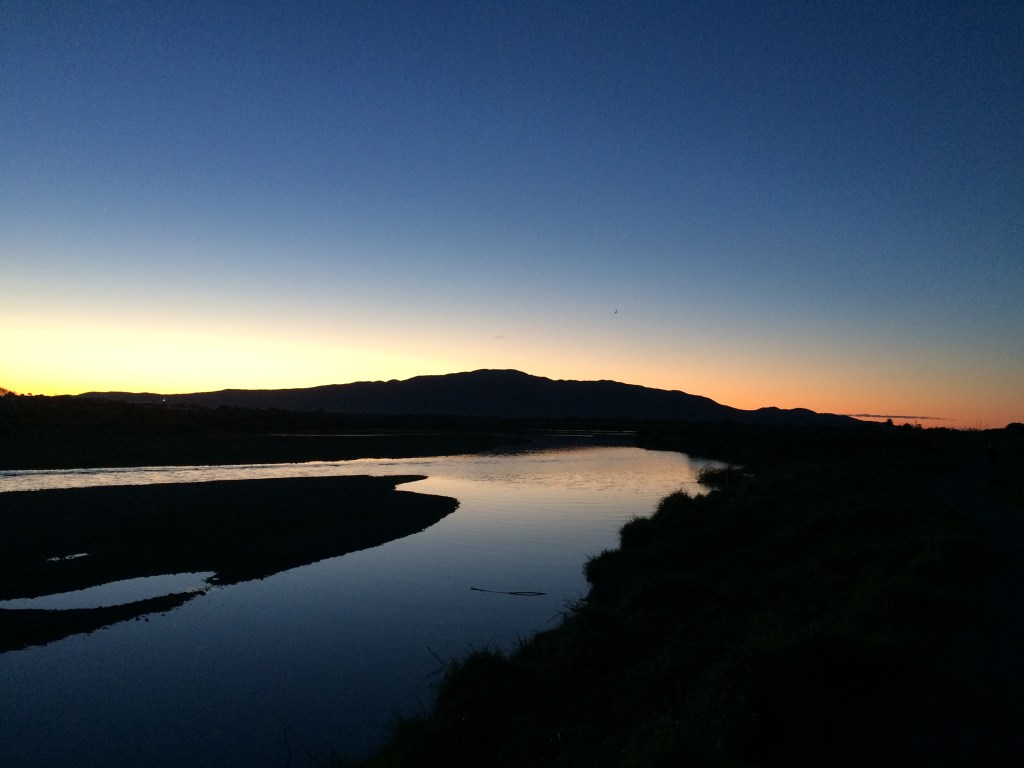
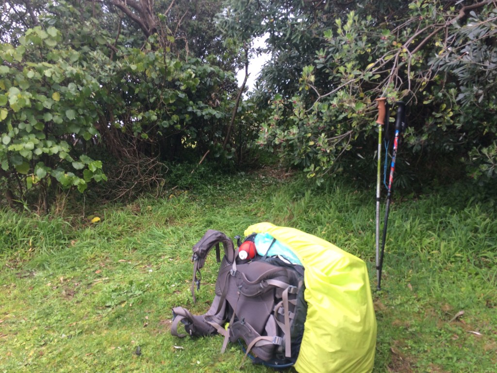
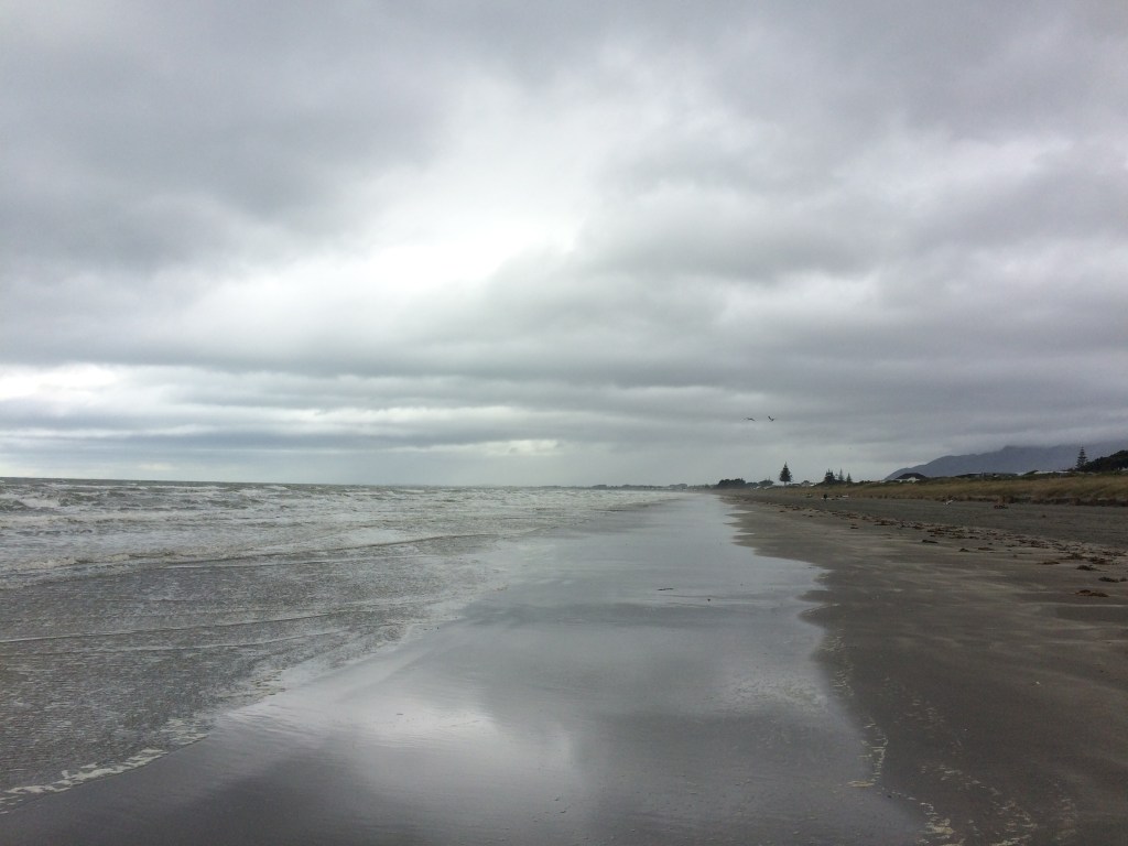


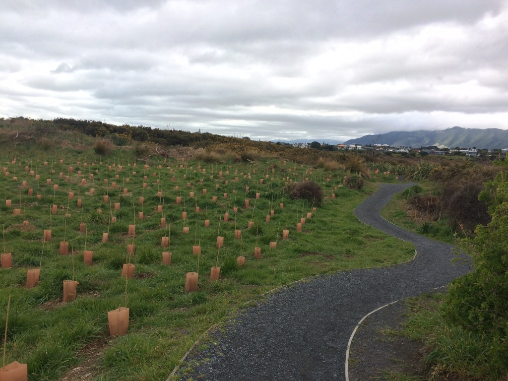


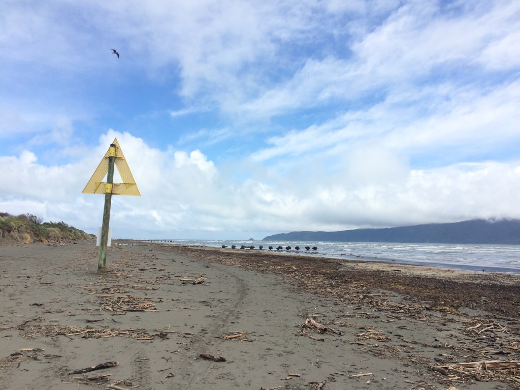


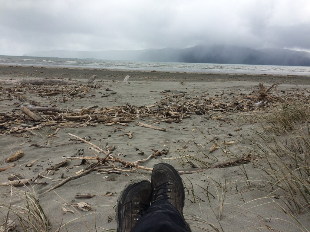

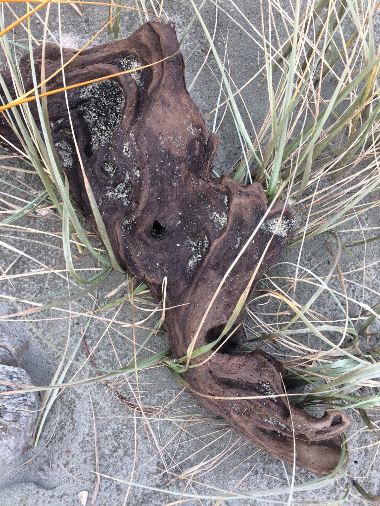

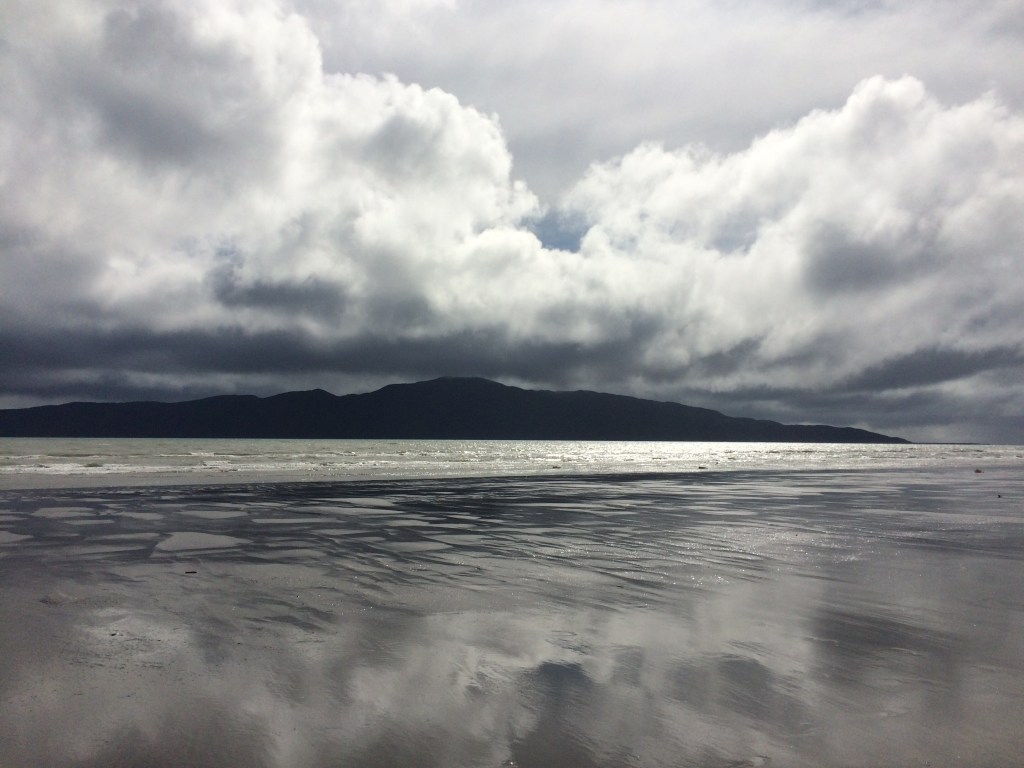


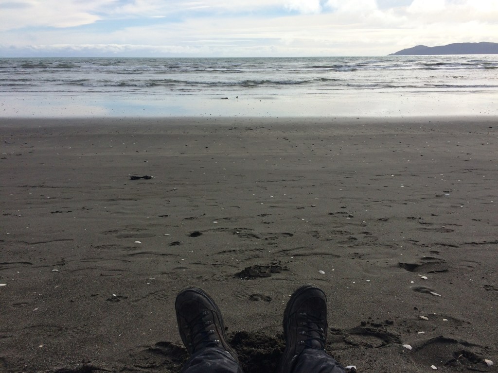


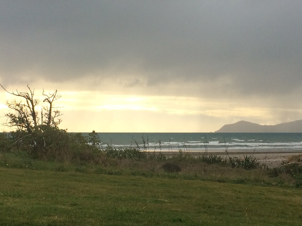


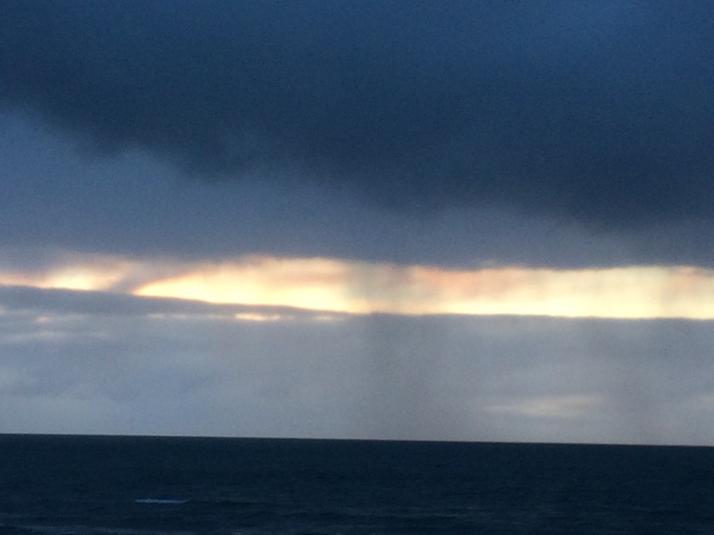

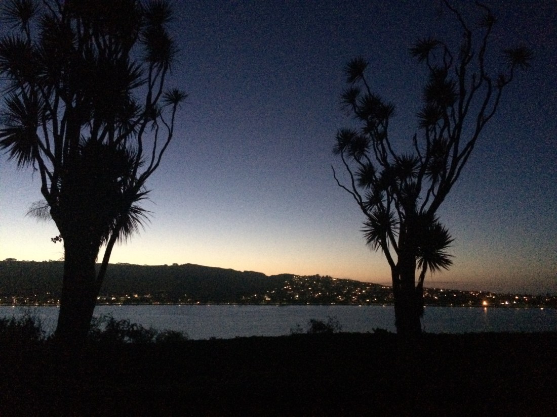


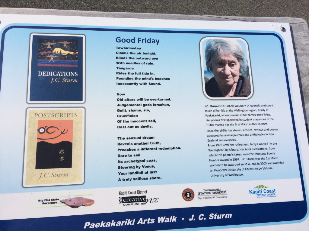

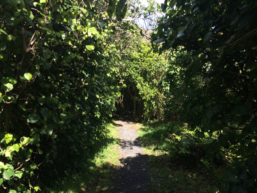


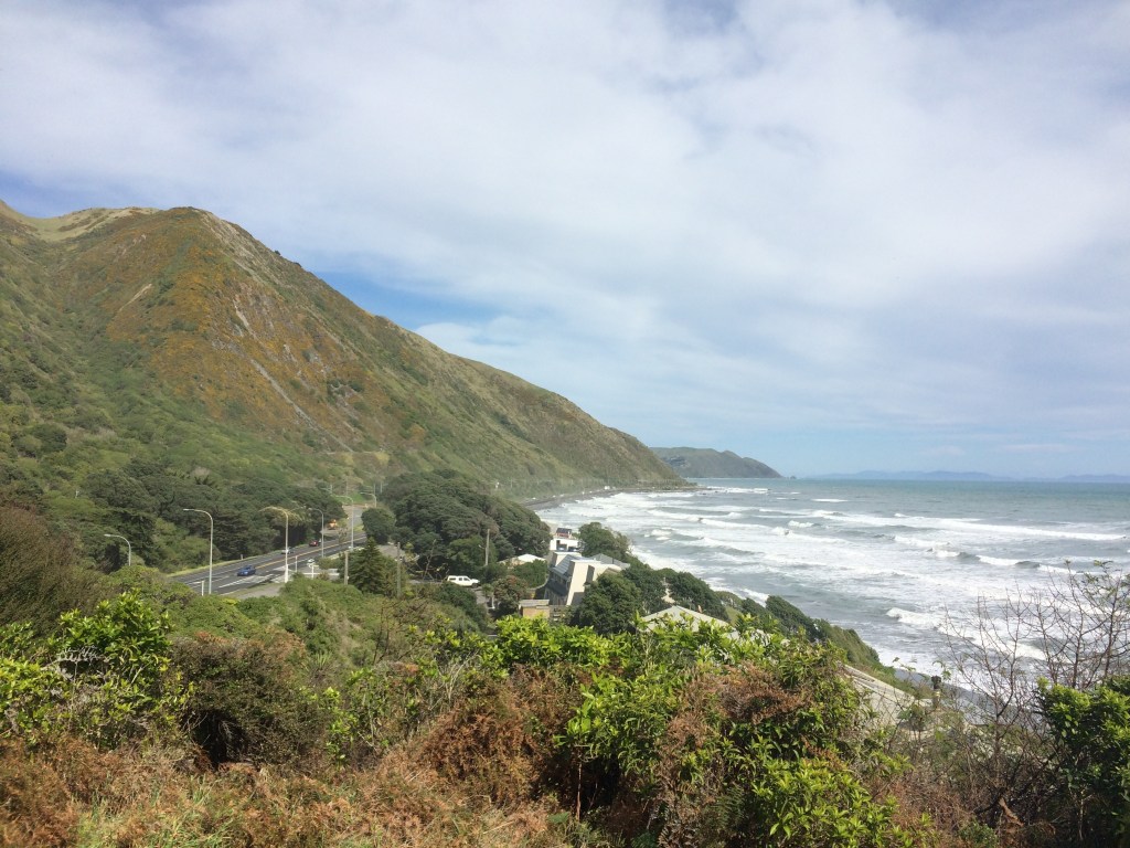
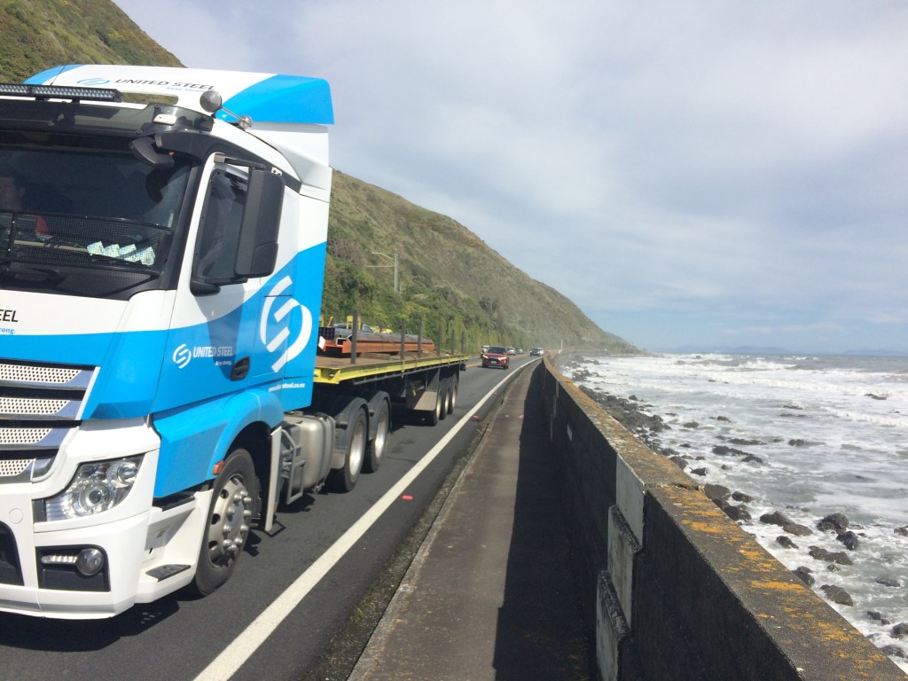


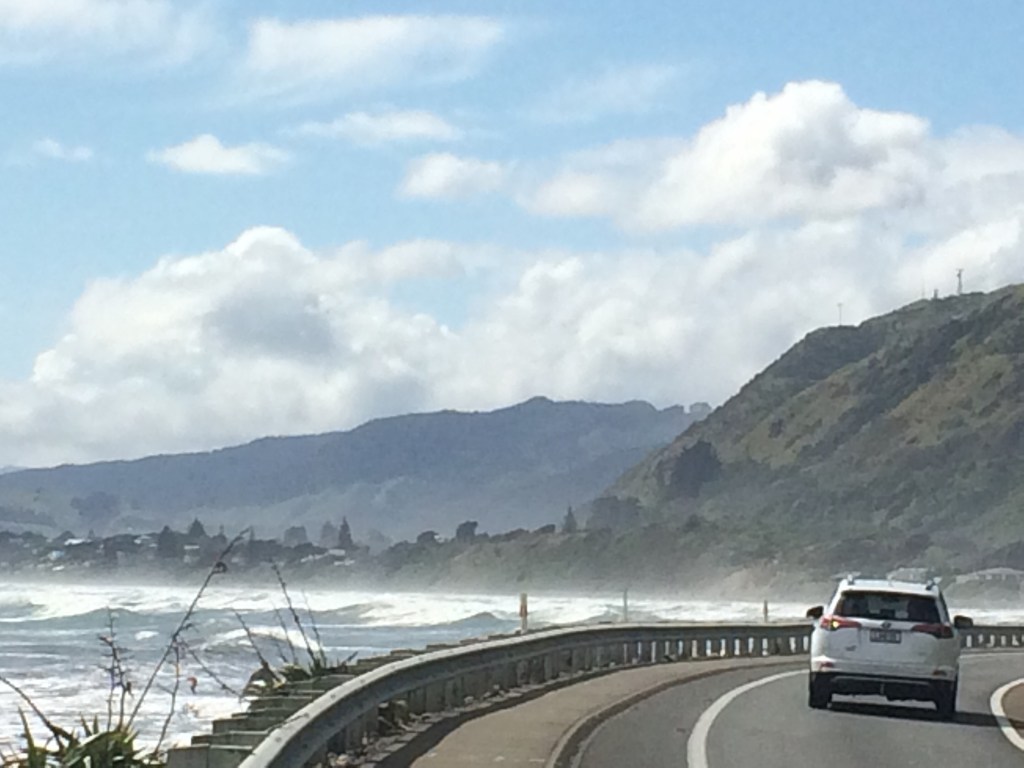


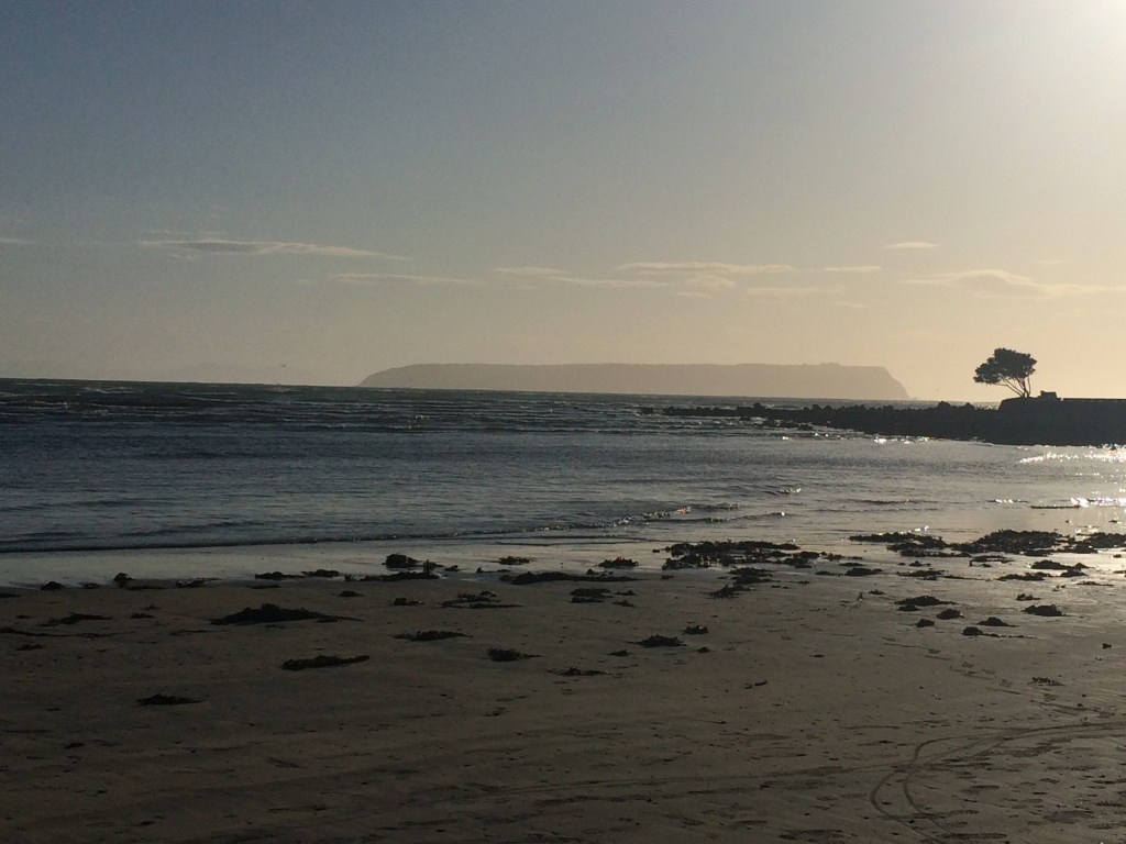
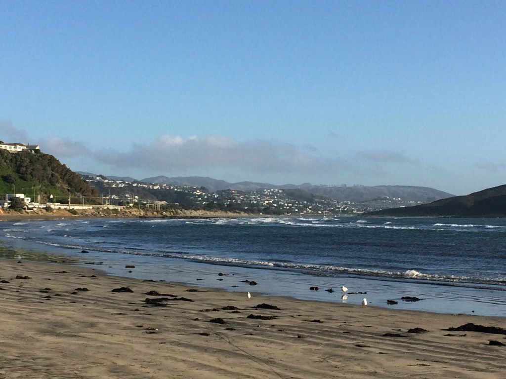

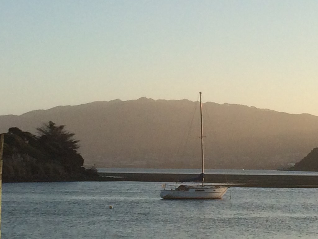
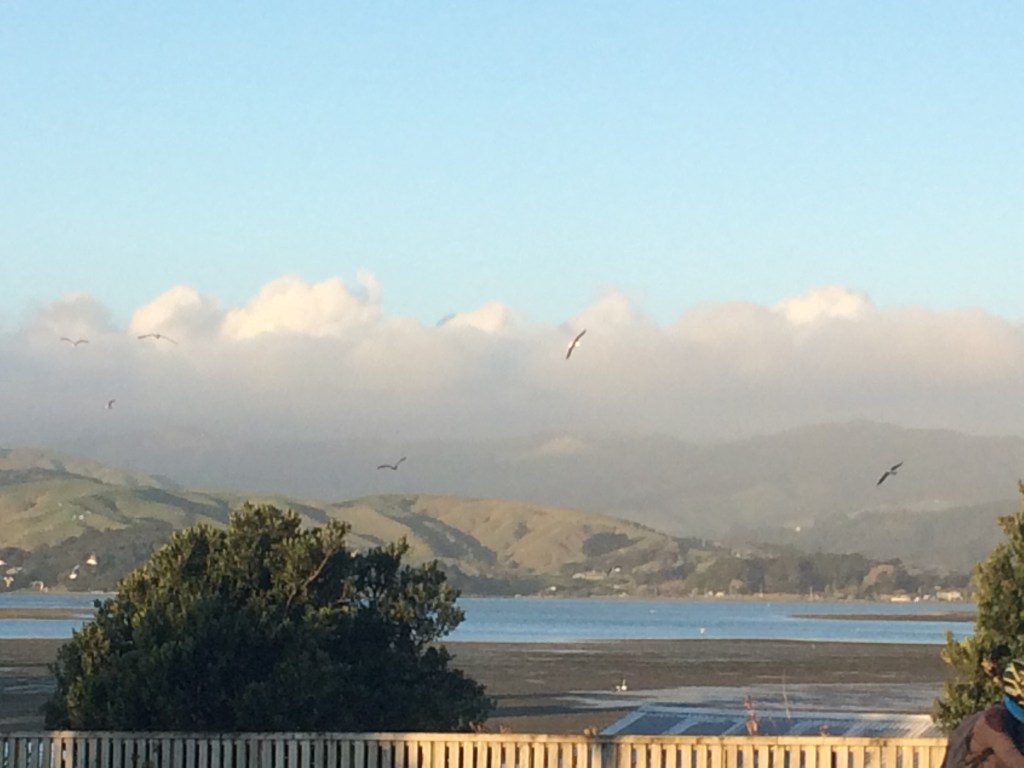
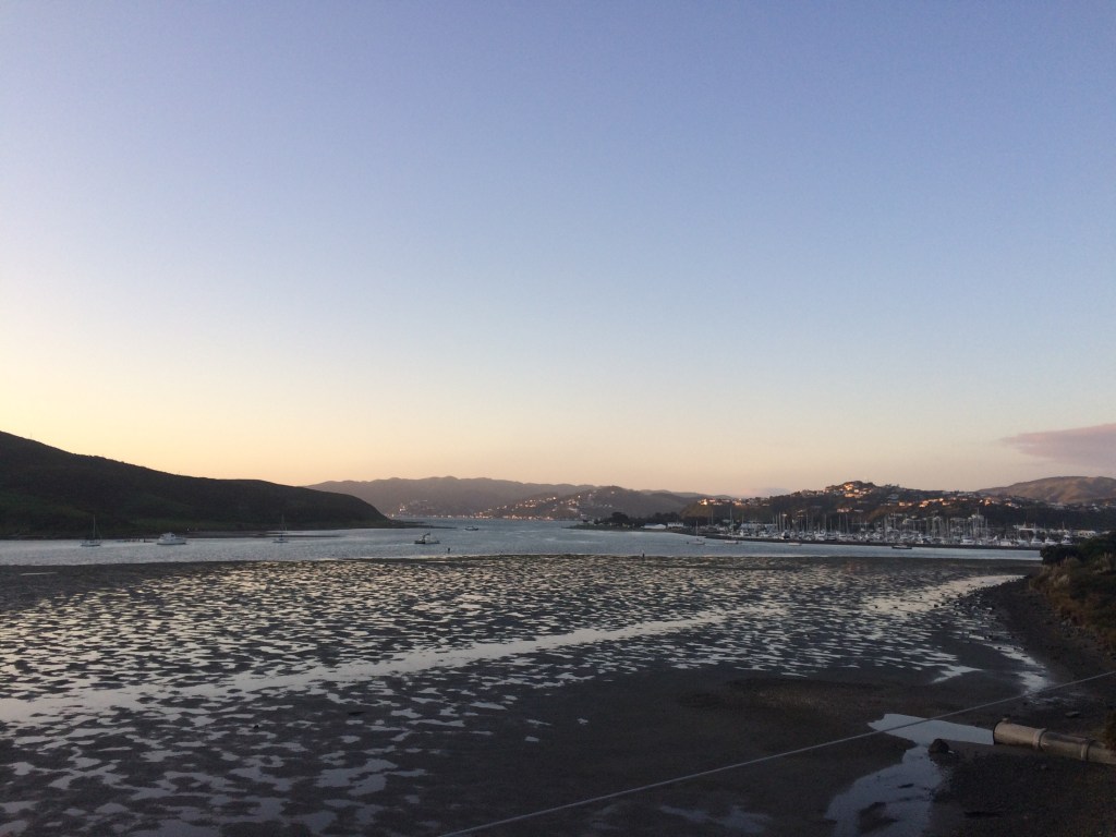


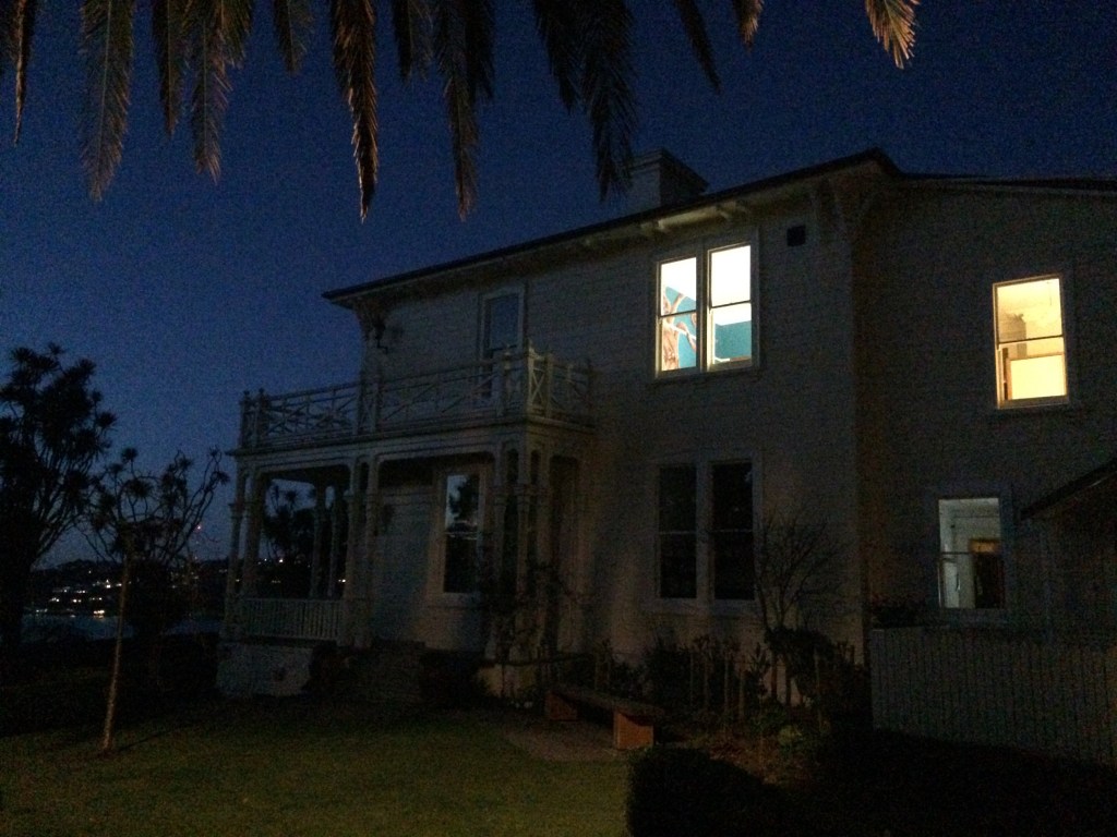

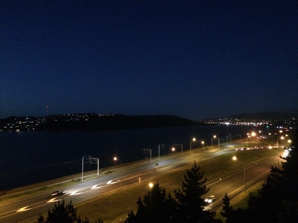


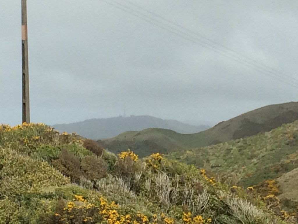
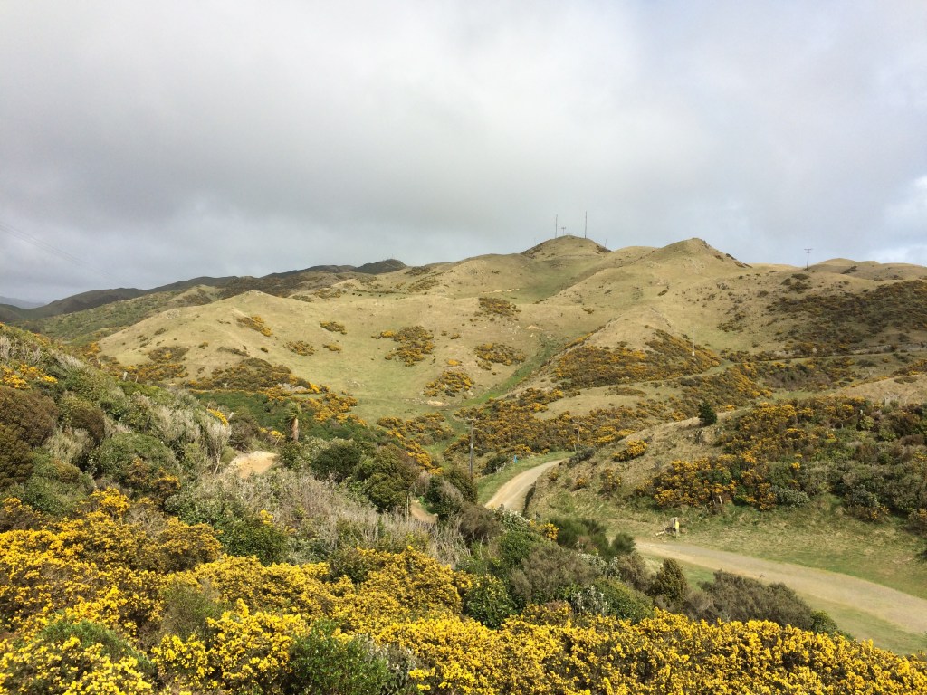


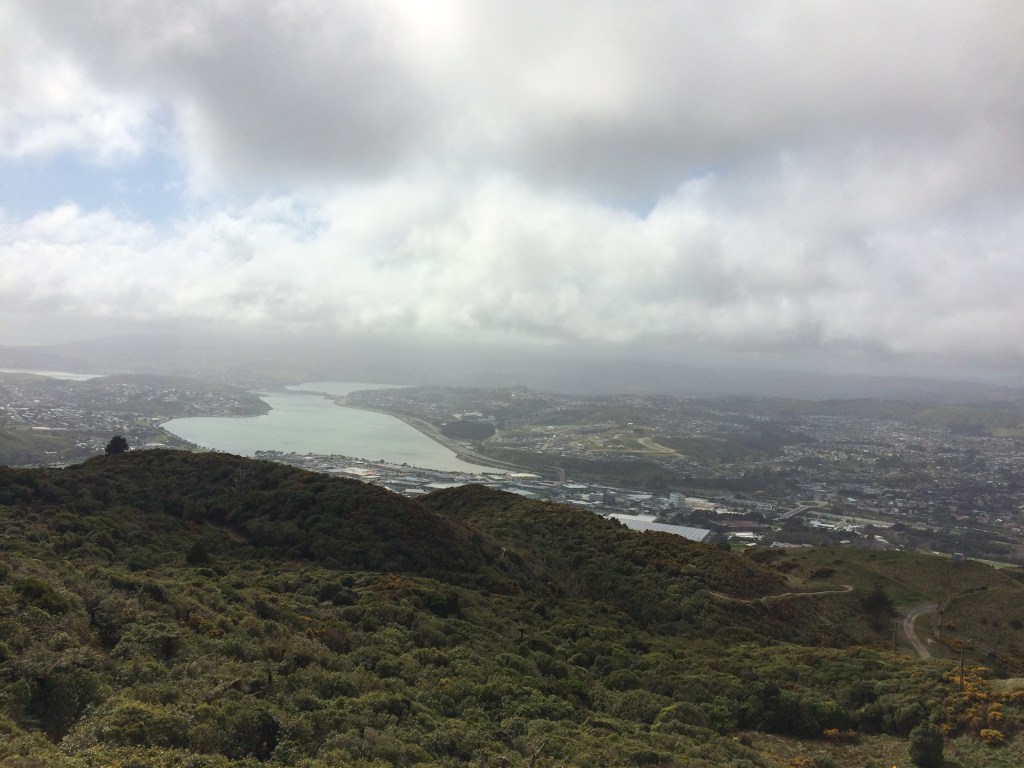
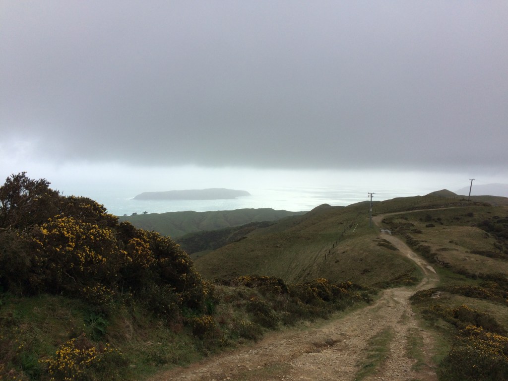

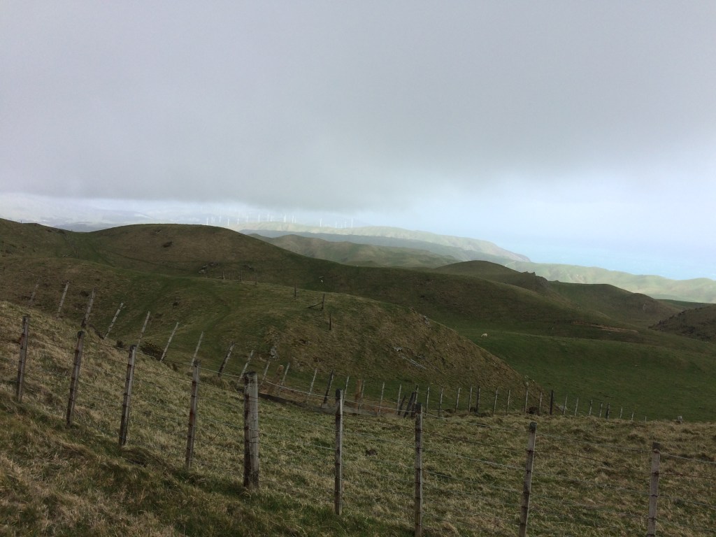
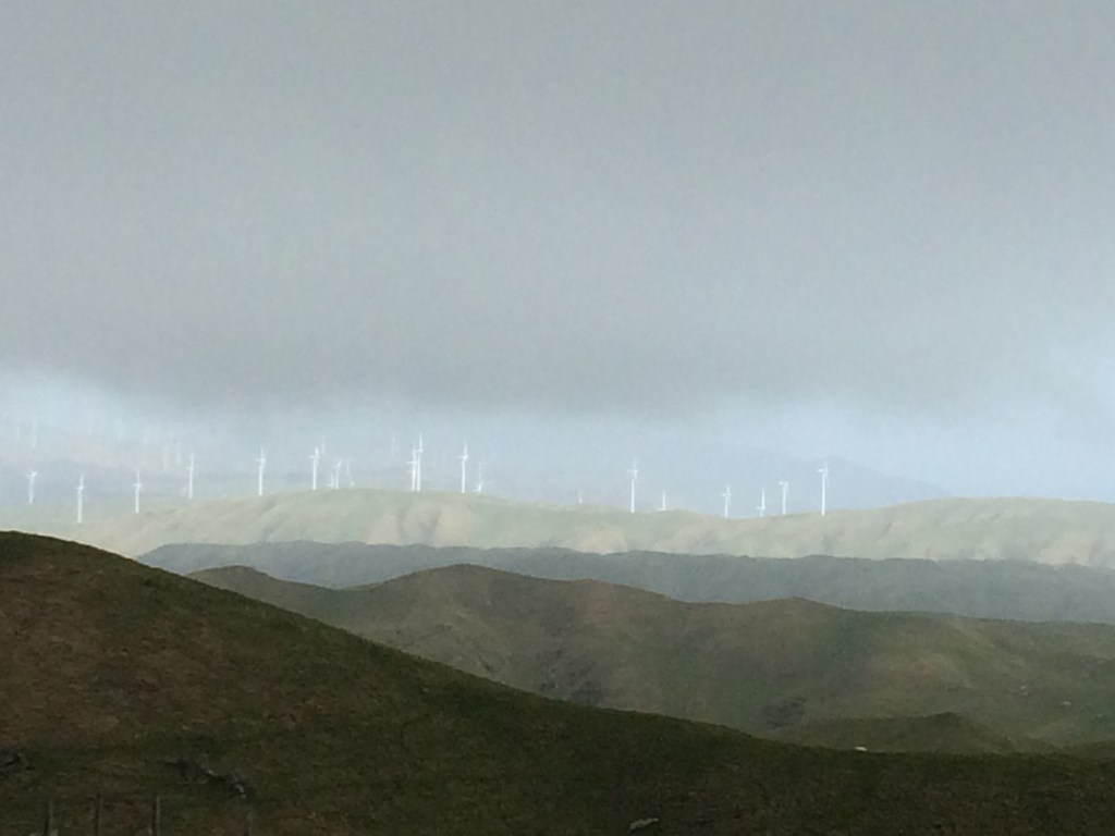
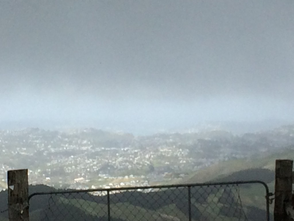

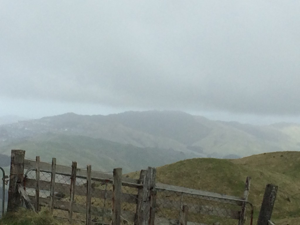


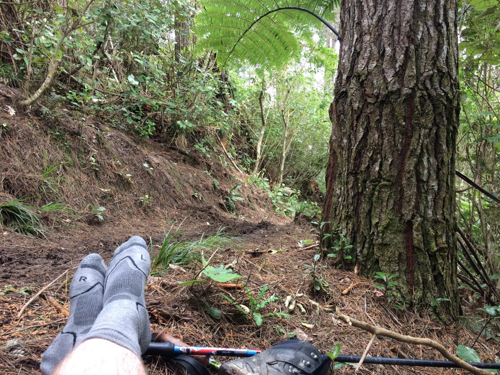


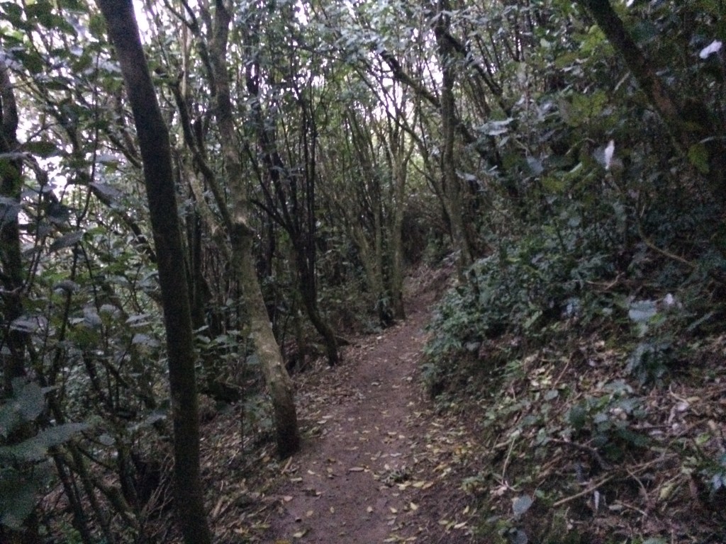
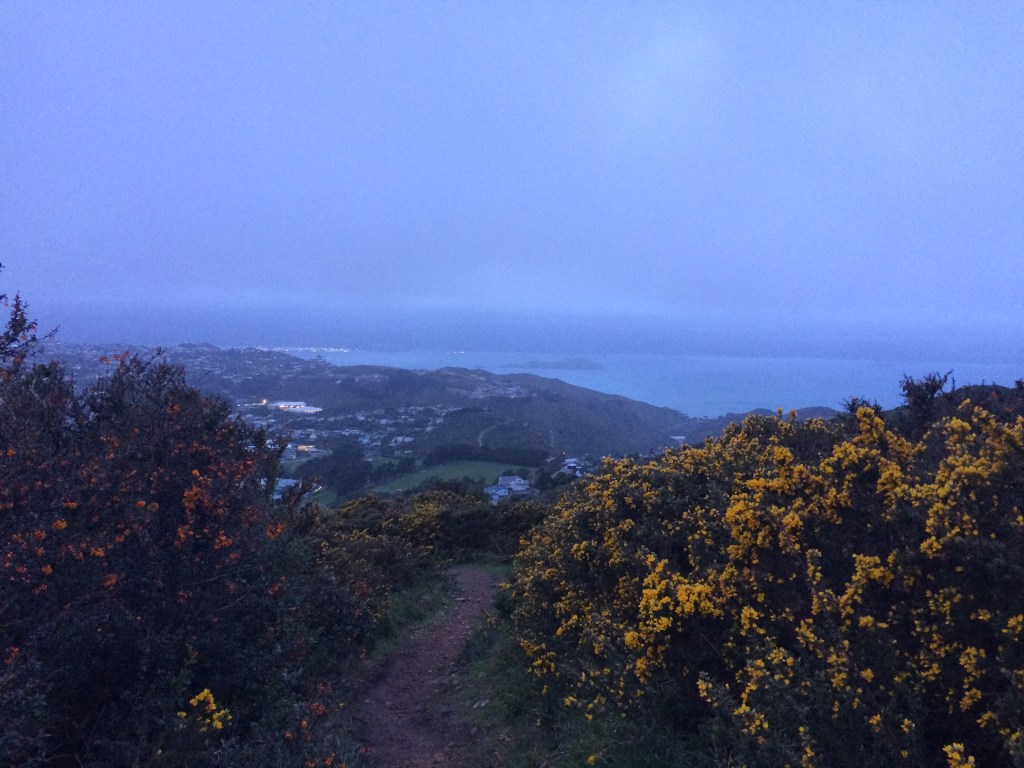

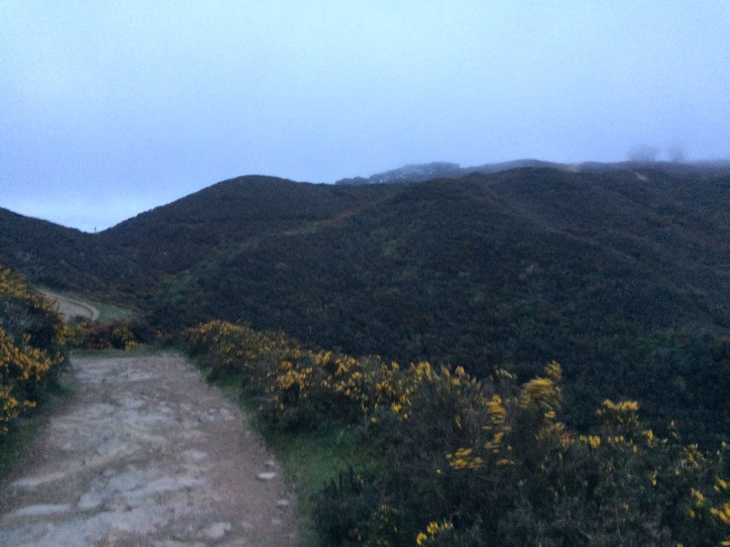


